100 Kanto High Peaks and Counting…

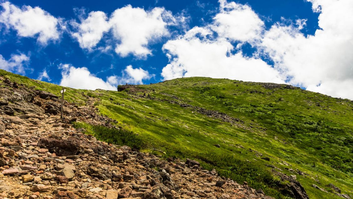
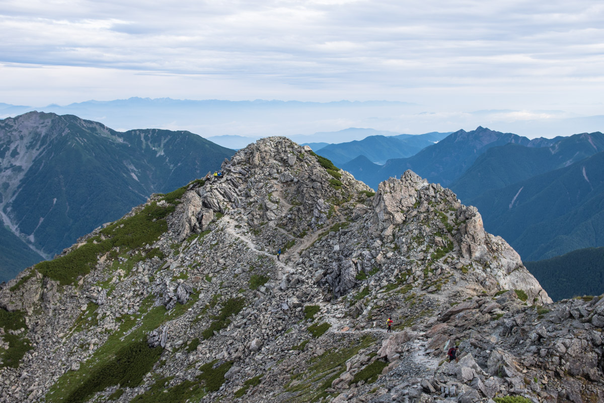
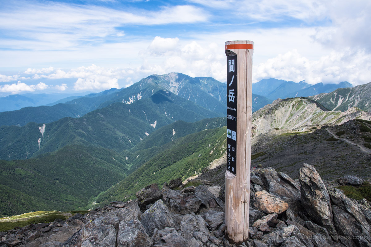
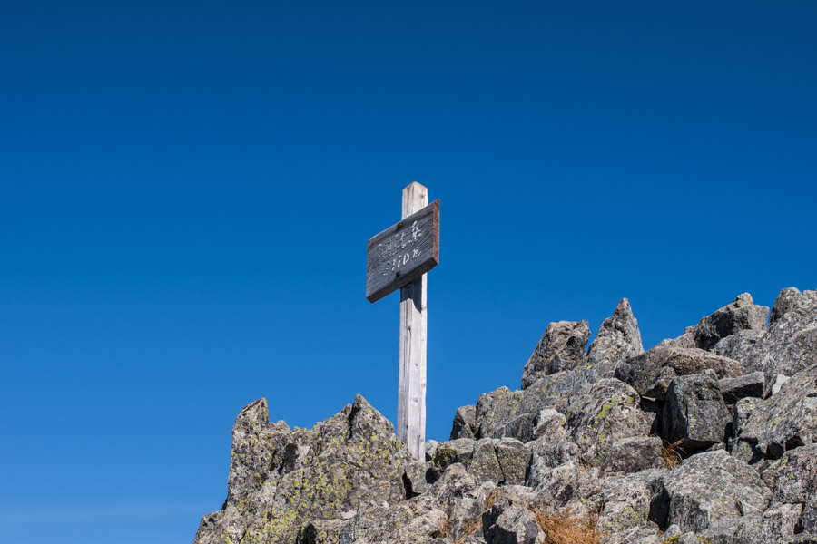
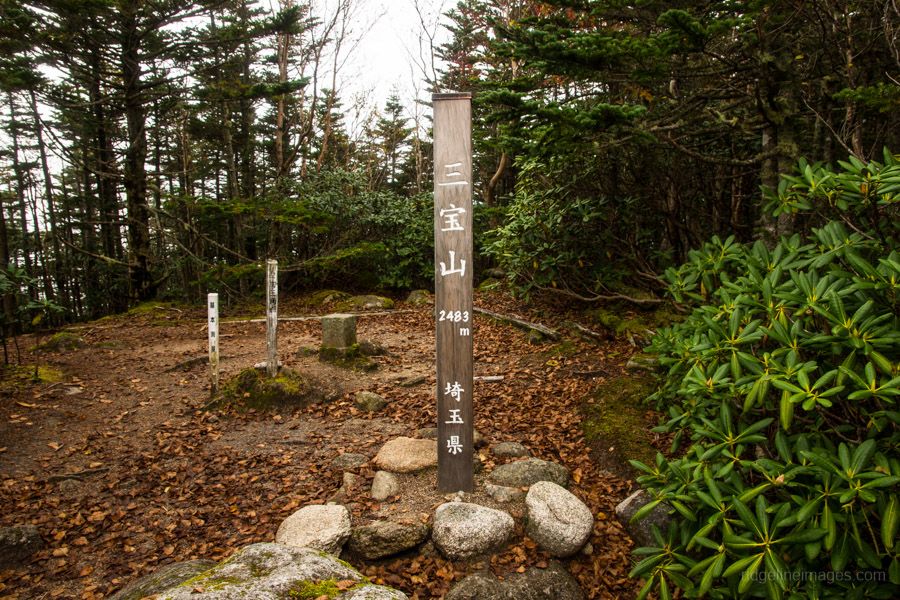
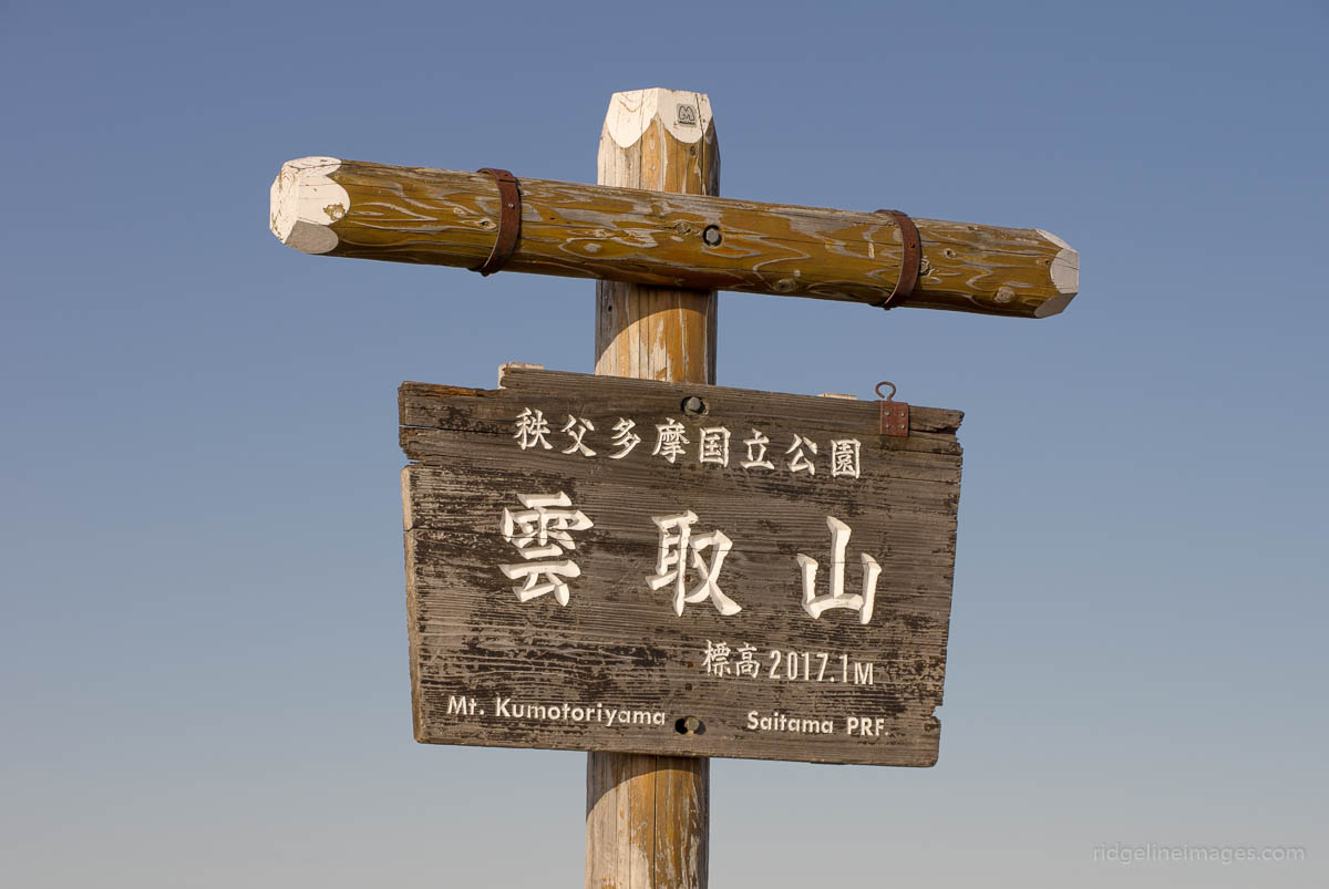
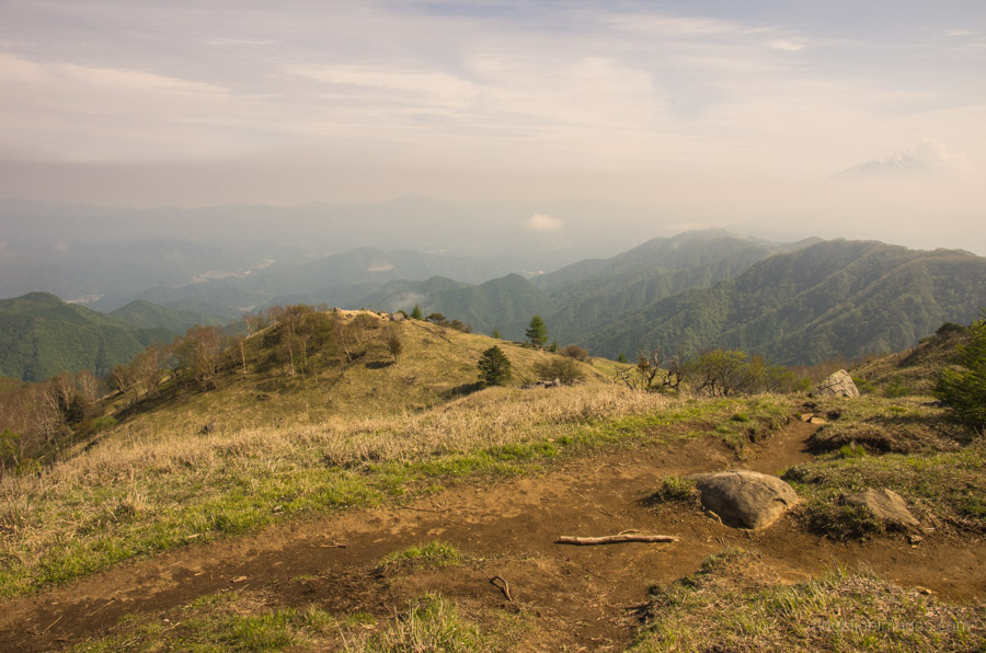
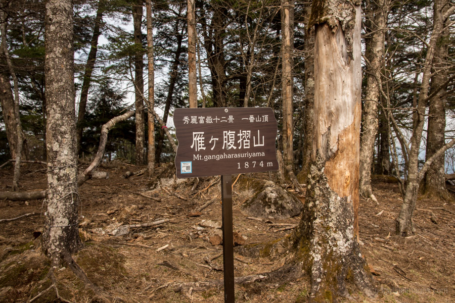
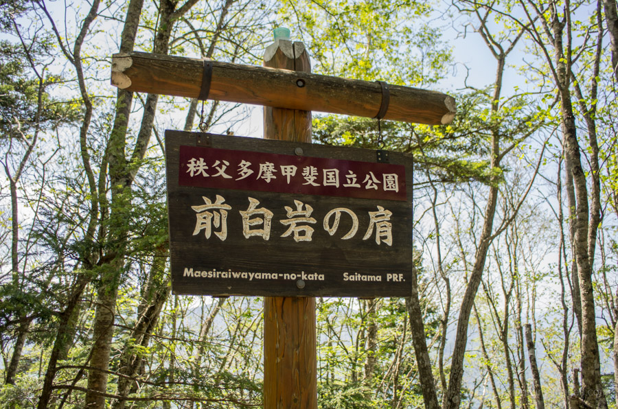
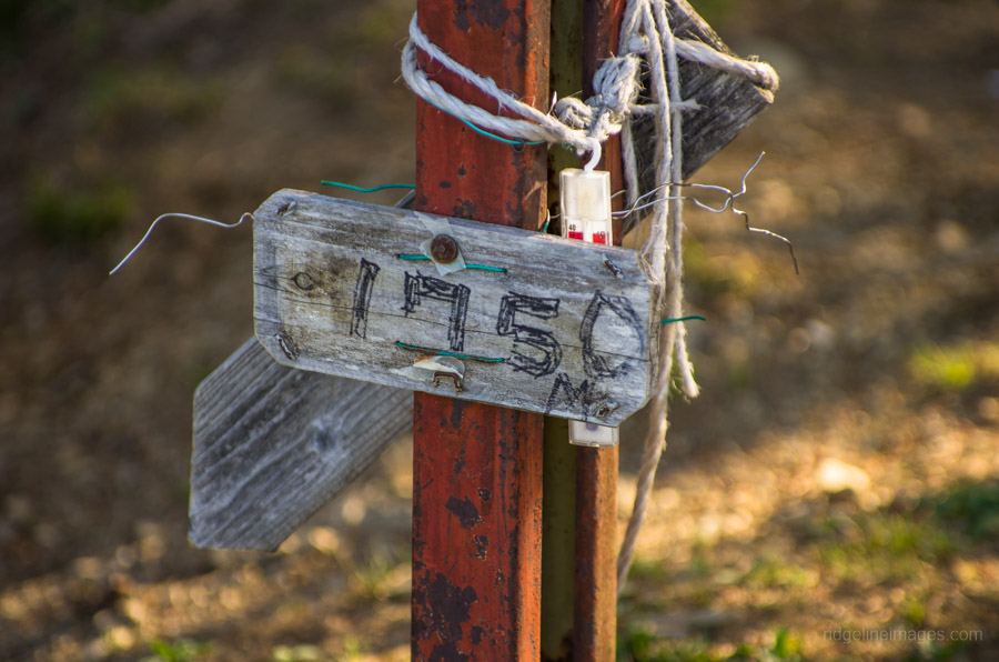
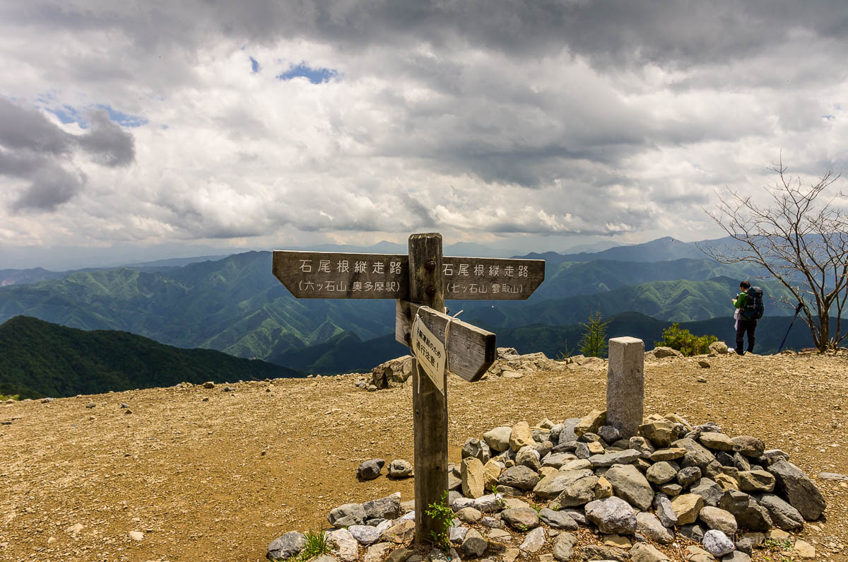
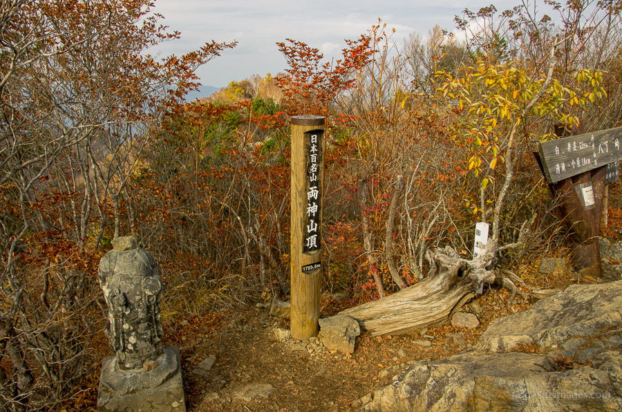
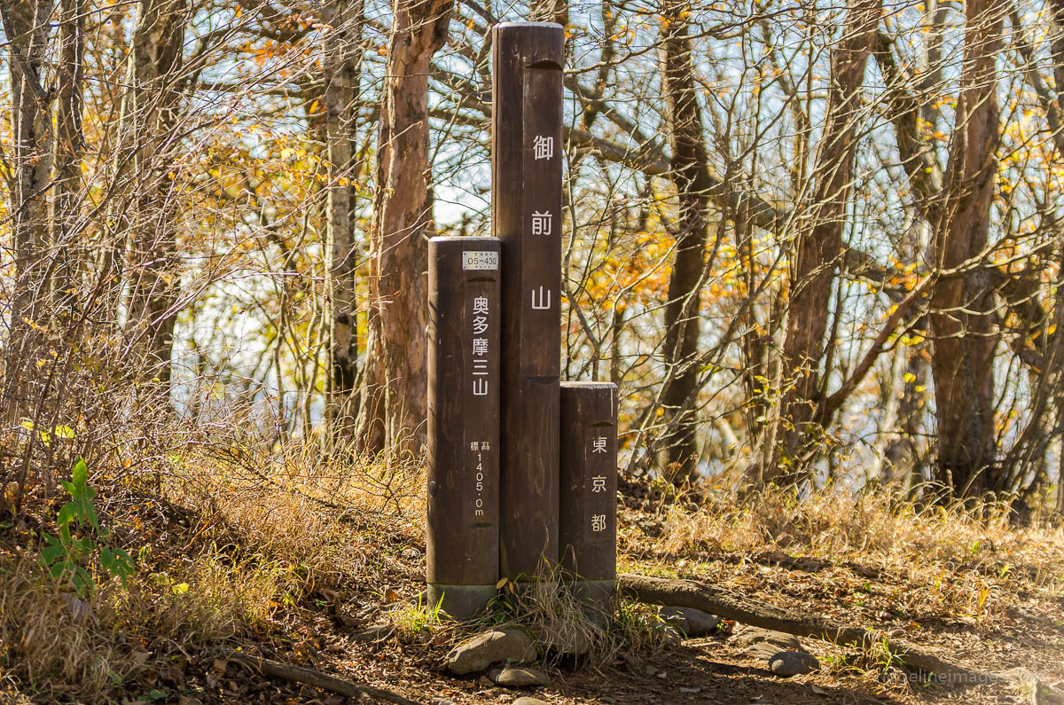
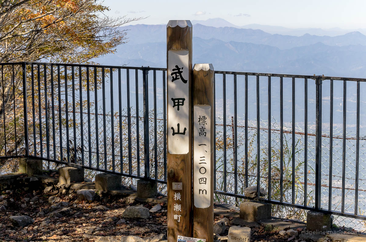
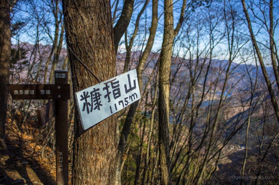
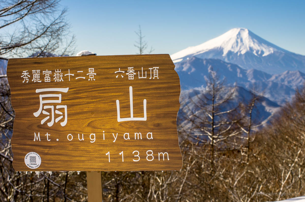
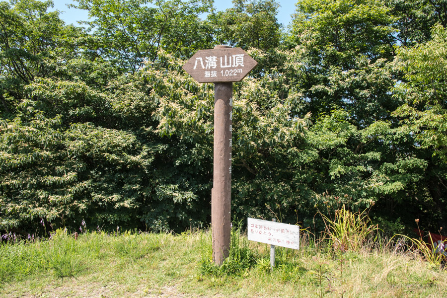
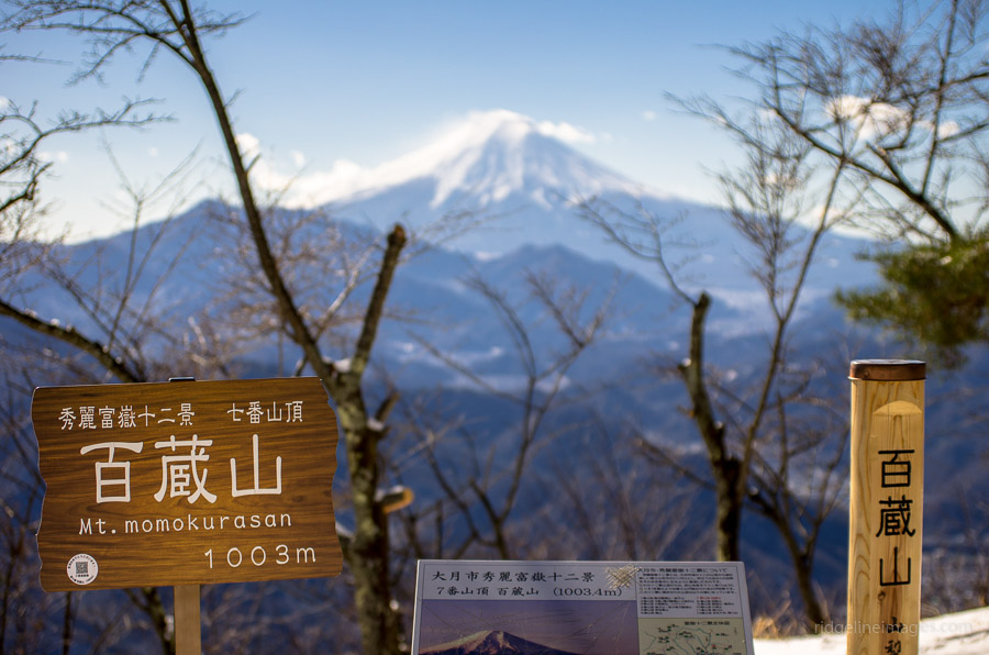
A Guide to Mountains in the Kanto Region

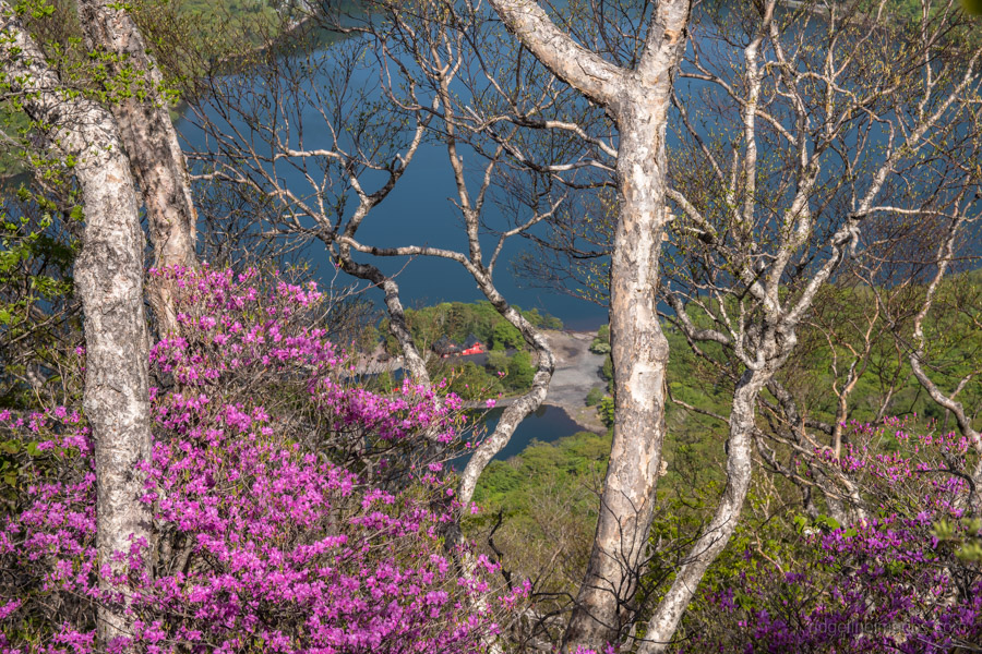
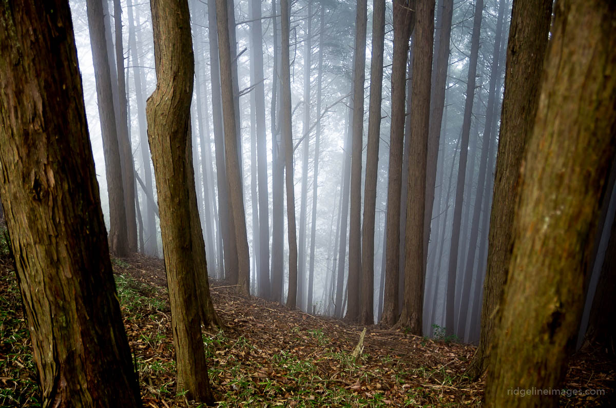
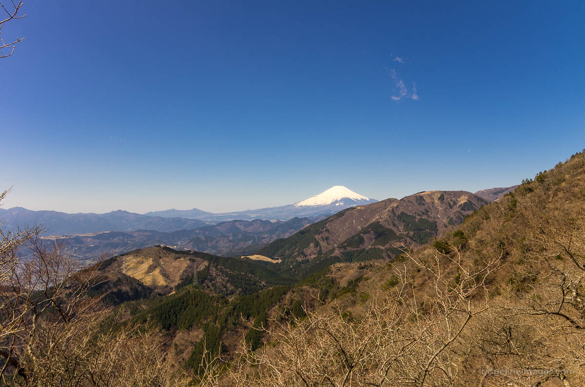
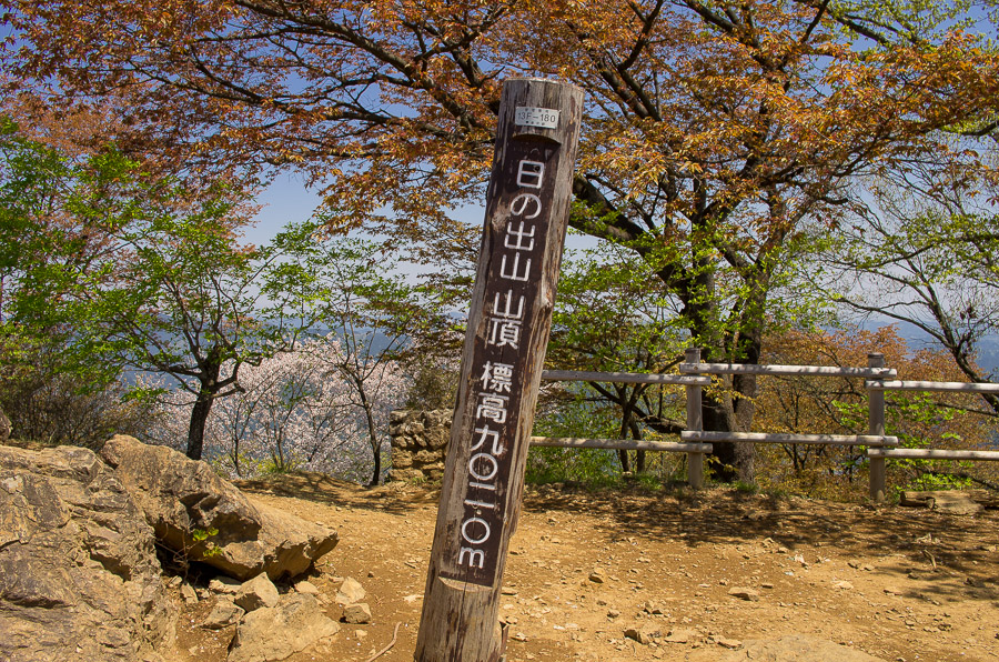
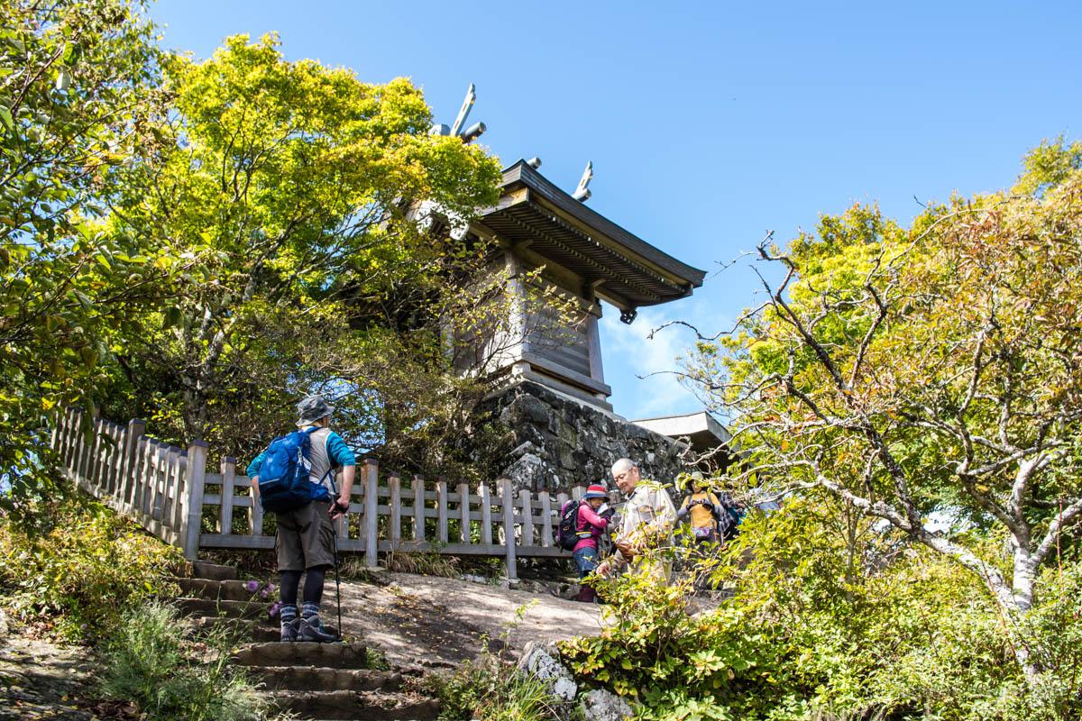
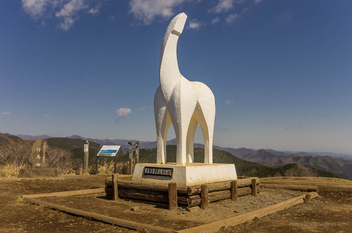
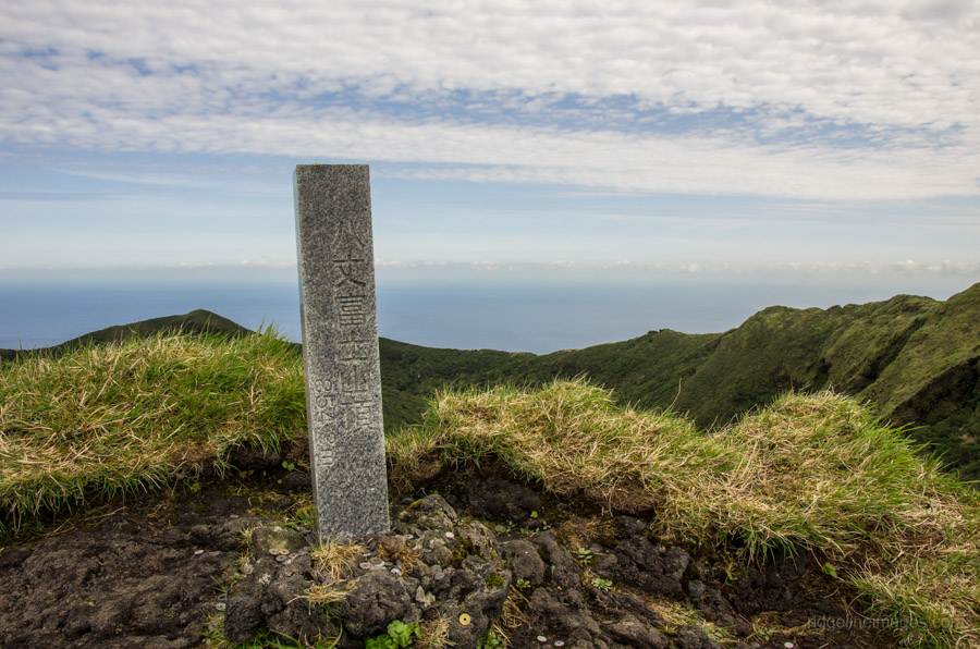
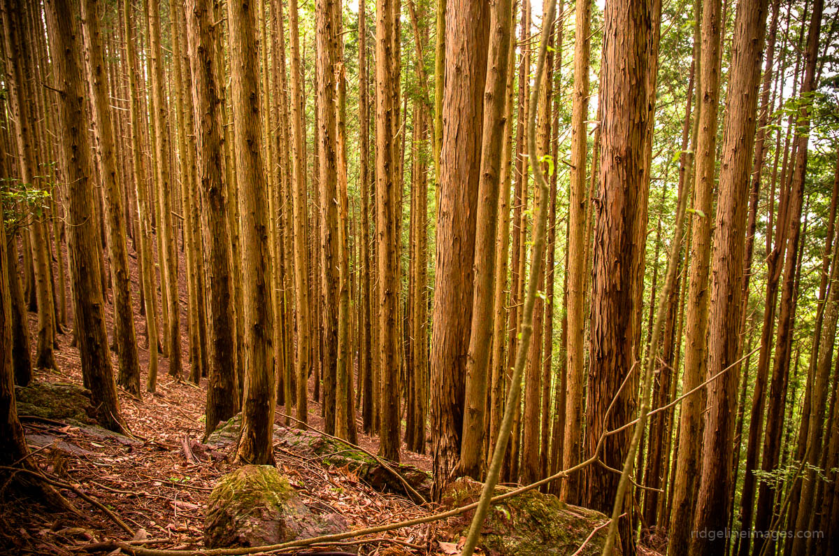
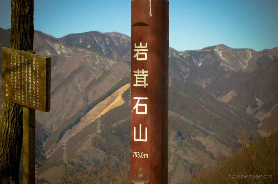
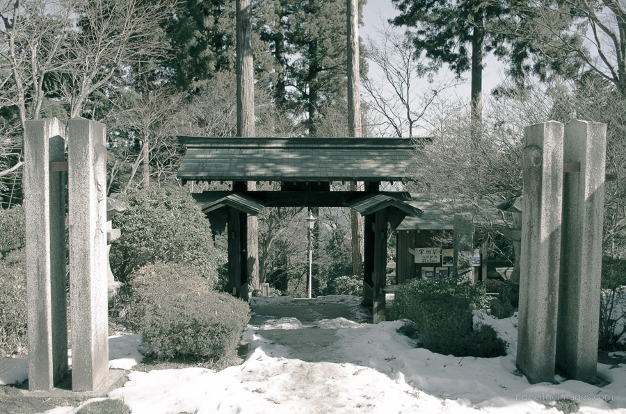
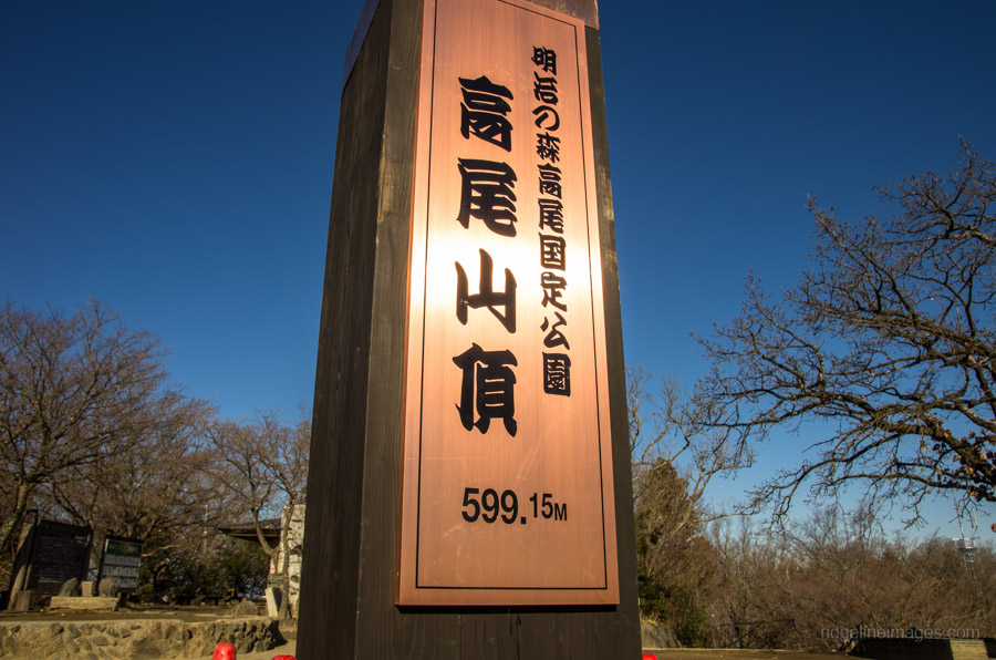
The Kanto Region which includes Gunma, Tochigi, Ibaraki, Saitama, Tokyo, Chiba, and Kanagawa contains many of the most popular hiking trails in Japan. Whilst the following list is a work in progress, it aims to provide a summary of recommended mountains to hike around Kanto. Please check back for future updates.

Name of MountainElevation (m)Difficulty 1-7Length of Hike (km)Typical Hike TimePHOTO
Kita-dake 北岳3193 710.23 days
Mt. Ainodake 間ノ岳3189 628.24 days
Mt. Karasawa 涸沢岳3103 638.54 days
Nishinotoridake 西農鳥岳3051628.24 days
Mt. Notoridake 農鳥岳3025 628.24 days
Mt. Akadake 赤岳2899 6253 days
Yokodake 横岳2829 6253 days
Mt. Ioudake 硫黄岳2760 6353 daysMt. Ioudake summit
Mt. Tengudake 天狗岳2640 517.33 daysTengudake in background
Mt. Kinpu 金峰山2595 6263 days
Mt. Kokushigatake 国師ヶ岳2591 6263 daysMt. Kokushigatake summit
Nakayama 中山2496 517.33 days
Mt. Nantai 男体山2484 623.87 hours
Mt. Sanpo 三宝山2483 512.63 days
Mt. Kobushi 甲武信ヶ岳2475 6263 days
Mt. Kitayokodake 北横岳2472 4213 days
Mt. Tokusa 木賊山24686263 days
Mt. Mizugaki 瑞牆山2230 475 hours
Mt. Oyama 大山2225 523.83 days
Mt. Futago 双子山2223 4213 days
Mt. Suisyoyama 水晶山2158 5243 days
Mt. Koreisan 古礼山2112 5243 days
Takamiiwa Rock 鷹見岩2092 39.32 days
Karisaka Toge 雁坂峠2082 5243 days
Mt. Obora 大洞山2069 735.53 daysMt. Obora hike
Mt. Daibosatsu 大菩薩嶺20564232 days
Mt. Kentoku 乾徳山2031 5112 days
Mt. Kumotori 雲取山20176312 days
Mt. Koganezawa 小金沢山2014 416.32 days
Mt. Ushiokunogangaharasuri 牛奥ノ雁ヶ腹摺山1990416.32 days
Mt. Kurotake 黒岳1987 416.32 days
Kawakomozawa 川胡桃沢ノ頭1940 416.32 days
Shirayanomaru 白谷丸1920 420.32 days
Daibosatsu-toge 大菩薩峠1897 2232 days
Mt. Gangaharasuri 雁ヶ腹摺山1874 522.52 days
Mt. Kurobi 黒檜山1827 5252 days
Mt. Okuratakamaru 大蔵高丸1781 416.22 days
Mt. Maeshiraiwayama 前白岩山1776 6312 days
Sanpei Pass 三平峠1770 324.32 days
Mt. Nanatsuishiyama 七ッ石山1757 6312 days
Mt. Hamaiba ハマイバ丸1752 416.22 days
Mt. Takanosu 鷹ノ巣山1736 4142 days
Mt. Ryokami 両神山1723 5127 hours
Mt. Komagatake 駒ヶ岳登山16854252 days
Mt. Hirugatake 蛭ヶ岳1673 5232 days
Mt. Choshichiro 長七郎山1579 4252 days
Mt. Tenmoku 天目山1576 525.12 days
Mt. Tanzawa 丹沢山1567 5232 days
Mt. Mito 三頭山1531 48.55 hours
Kirimogamine 霧藻ヶ峰1523 6312 daysMt. Kirimogamine summit
Mt. Ubakoyama 姥子山1503 522.52 days
Mt. Tounotake 塔ノ岳1491 5232 days
Mt. Kayanoki 榧ノ木山1485 4142 days
Mt. Sobatsubu 蕎麦粒山1472525.12 days
Mt. Gozenyama 御前山1405 3105 hours
Mt. Kawanori 川乗山1363 514.26 hours
Hinatazawanomine 日向沢ノ峰1356 525.12 days
Mt. Douman 道満山1314 5112 days
Mt. Buko 武甲山1304 415.56 hours
Mt. Odake 大岳山1266 310.56 hours
Mt. Oyama 大山1252 37.54 hours
Mt. Honita 本仁田山1224 39.45 hours
Mt. Kasamaruyama 笠丸山1189 24.54 hours
Mt. Kurato 倉戸山11894142 days
Mt. Nukazasu ヌカザス山1175 48.55 hours
Mt. Ougiyama 扇山1138 413.56 hours
Mt. Yamizo 八溝山1022 312.54 hours
Mt. Momokurasan 百蔵山1003 413.56 hours
Mt. Iyo イヨ山979 48.55 hours
Mt. Bonomine 棒ノ峰山969 5126 hours
Tsuzuraiwa Rock つづら岩969 4105 hours
Mt. Makinooyama 槙ノ尾山945 5126 hours
Mt. Sengenrei 浅間嶺903 284 hours
Mt. Hinodeyama 日の出山902 4166 hours
Mt. Tsukuba 筑波山877 464 hours
Mt. Jinba 陣馬山857 3114 hours
Hachijo-fuji 八丈富士山854 616.77 hours
Mt. Kuroyama 黒山842 4136 hours
Mt. Iwatakeishiyama 岩茸石山793 310.55 hours
Takamizusan 高水山759 310.55 hours
Mt. Kobotoke-Shiroyama 小仏城山670 1104 hours
Mt. Mitsumuroyama 三室山646310.55 hours
Mt. Takao 高尾山5991104 hours
Mt. Tenjo 天上山572 311.54 hours
Mt. Hodosan 宝登山4971114 hours
Mt. Kompirayama 金比羅山4683114 hours
Mt. Nokogiri 鋸山329144 hours
Mt. Tonosu 多峯主山27119.24 hours
Mt. Koubou 弘法山235173 hours
Mt. Tenran 天覧山19519.24 hours

4 comments
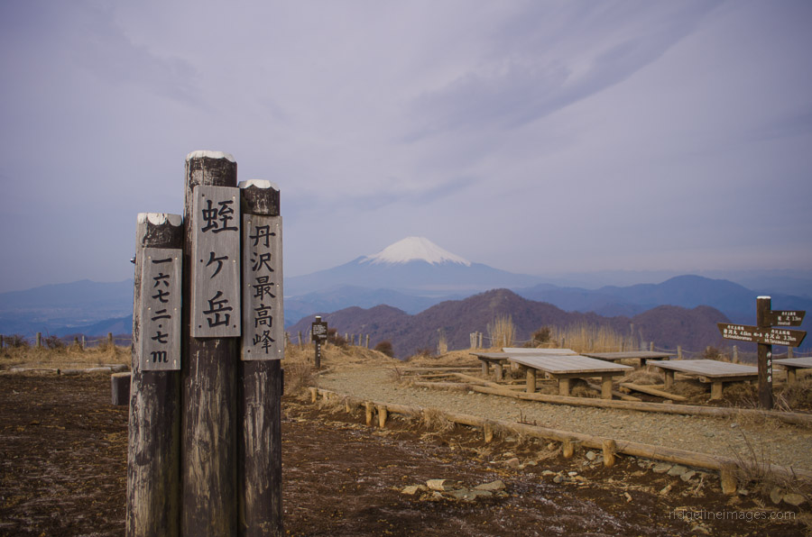
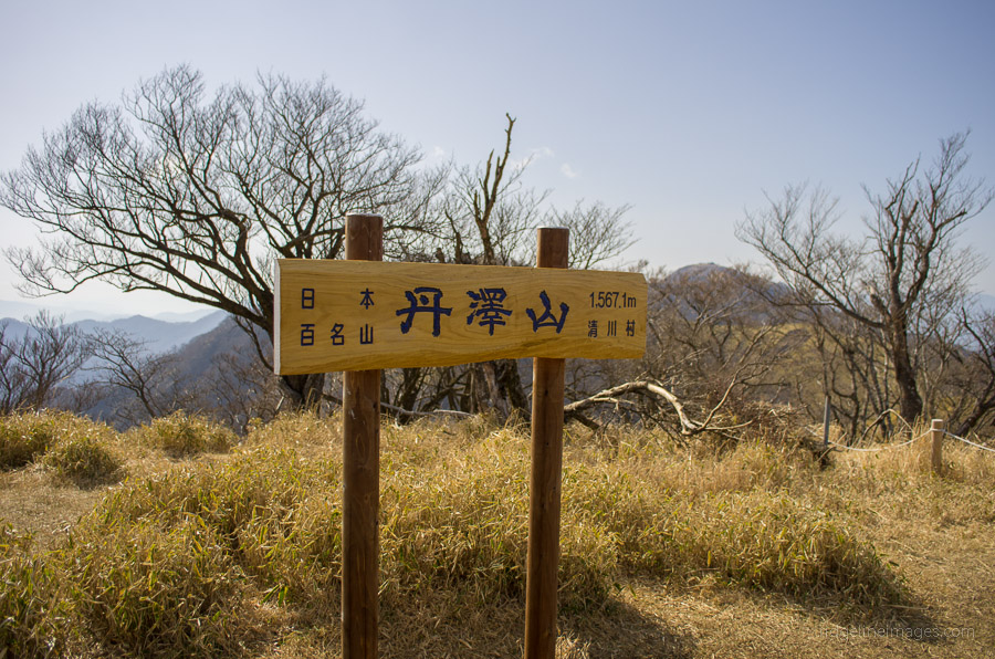
  • Hi! I just found your site the other day and am planning on doing one of your hikes this weekend (Mt. Tanzawa). I was wondering if you have any GPX files or downloadable maps. I have a Garmin that I use on my bicycle and would love to have the routes programed in for added security.

    Thanks for your site. I’m looking forward to getting out as much as possible this year.

    • Hi David, thanks for dropping by! Unfortunately I don’t have any GPX files I can send you. The way points I’ve added to the Google maps have all been plotted manually. I would however definitely recommend carrying a 2015 Yama-to-Kogen map. The hike up and over Mt. Tanzawa is well trodden and sign posted so you should be fine with a topo map along with your Garmin. The weather forecast looks great this weekend so I’m sure you’ll have a good time.

  • Just stumbled onto this site and I LOVE IT! Moved to the area from Hokkaido and I’m looking at all the peaks that are right at my backdoor. Thanks for all the work on this.

Archives