.
Futarasan Shrine 二荒山神社 – Mt. Nantai 男体山
Distance: 13.4 km
Elevation change: 1204 metres
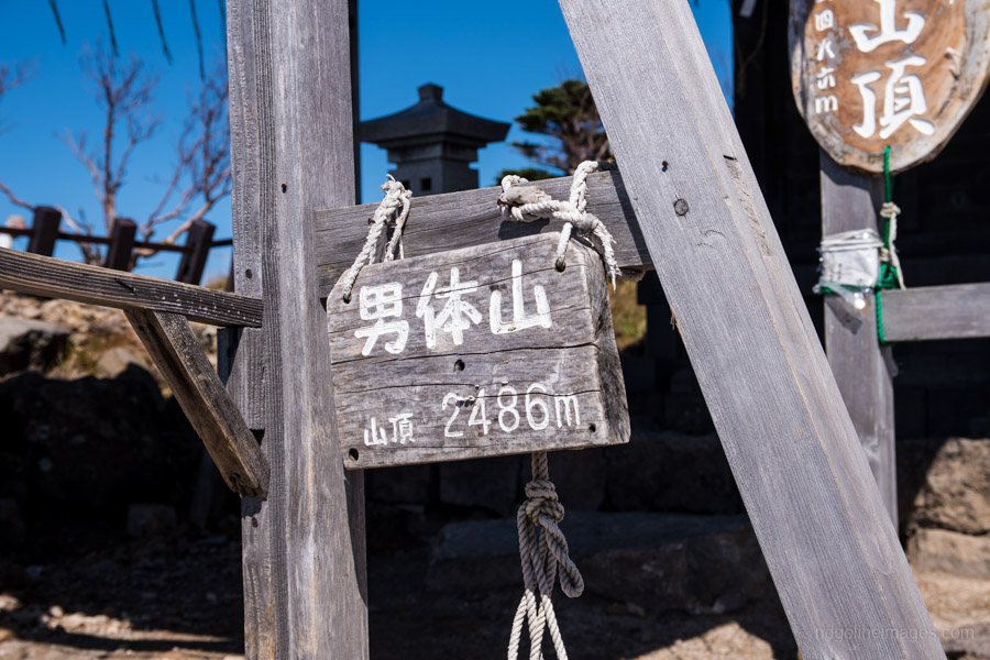
Highest point: 2484 metres
Start: Shobugahama Campground
Finish: Futarasan Jinjamae bus stop
Difficulty: ▅▅▅▅▅▅▅▅▅▅ ❹
Map: Yama to Kogen Chizu 山と高原地図 [No.13 日光 NIKKO]
GPX TrackKML TrackGSI MAPPDF Topo Map
Gruelling Hike but Worth the Reward
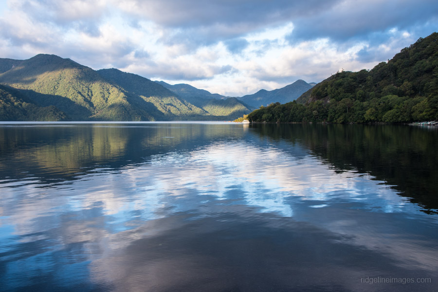
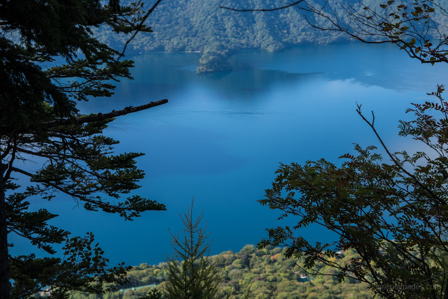
Mt. Nantai 男体山 is a sacred mountain which rises abruptly from Lake Chuzenji in Nikko. The mountain’s prominent cone shape is reminiscent of Mt. Fuji and on clear mornings is visible from even my place in West Tokyo over 100 km away. The mountain has a relatively short climbing season from May 5th to October 25th and being one of Japan’s 100 famous mountains makes it popular hiking destination. Typical course times are 3.5 hours for climbing and 2.5 hours for the descent. Bring a pair of light crampons if you intend to climb early in the season as there is likely to be lingering snow.
While it’s feasible to climb Mt. Nantai on a day trip from Tokyo a better approach is to overnight at the nearby Shobugahama campground 菖蒲ヶ浜キャンプ場 (1,000 yen) on the banks of Lake Chuzenji. If possible shoot for a weekday as it’s packed to the hilt on weekends and public holidays. The quickest access to Nikko is by limited express train from Asakusa. The Nikko all area pass (4,520 yen) available from the TOBU Tourist Information Center and includes a 20 percent discount on limited express tickets and unlimited bus rides. The other option is to take local trains and buy the Senjogahara free pass (2,650 yen) with unlimited rides between Nikko Station and Sambommatsu bus stop.
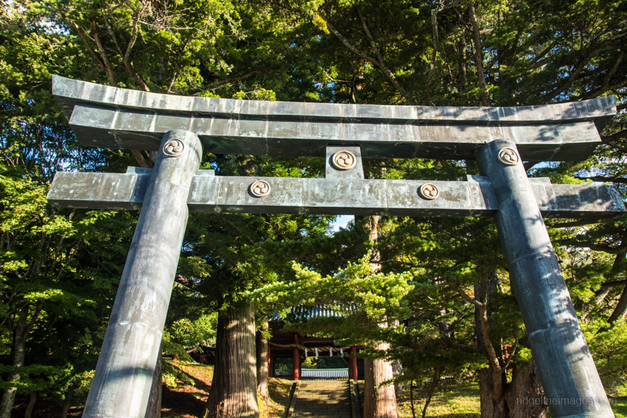
If you stay at the campground and come by bus and don’t want to haul you backpack along it’s possible to leave it outside the campground office and pick it up on your return. The mornings first mission is following alongside Lake Chuzenji to the trailhead at the Futarasan Shrine which adds an extra hour and 4 km to the standard route. Drop by the shrine reception desk at top of the stairs to register your name, contact details and pay a 500-yen donation though you do receive an omamori or lucky charm. Make sure you carry plenty of water and if need be top up at the purification fountain near the shrine’s entrance – you won’t find water much fresher.
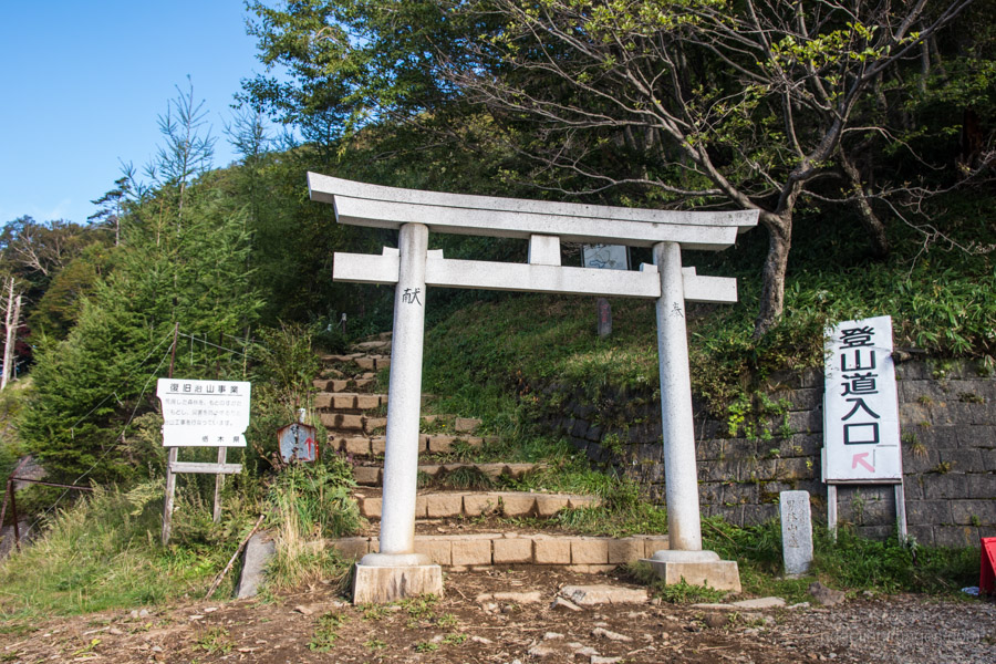
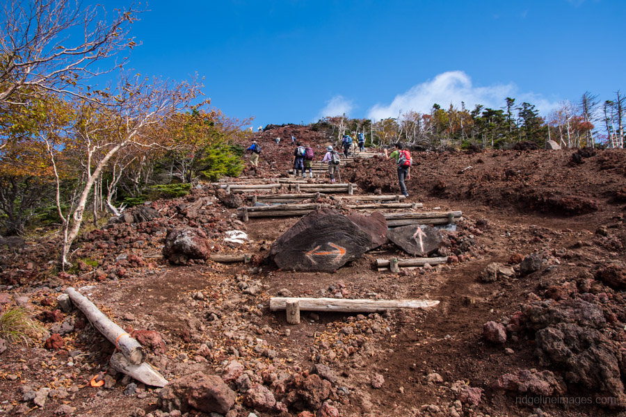
Onto the hike proper. The trail is divided into 9 stations (9合目) with an elevation gain of just over 1,200 metres. From the get-go the well-trodden trail begins its steady ascent as it roams through low lying plantation forest. After 20 minutes you pop out at a paved road which connects the third and fourth stations. Look for a shortcut to your left which bypasses the first section of road you’re about to walk. After passing through the white torii gate the hike becomes noticeably steeper with an unrelenting gradient.
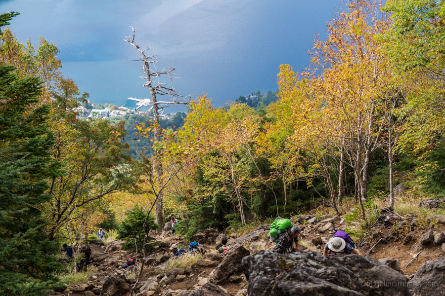
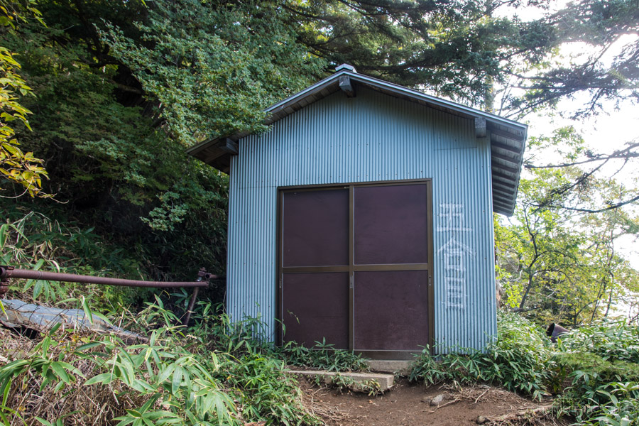
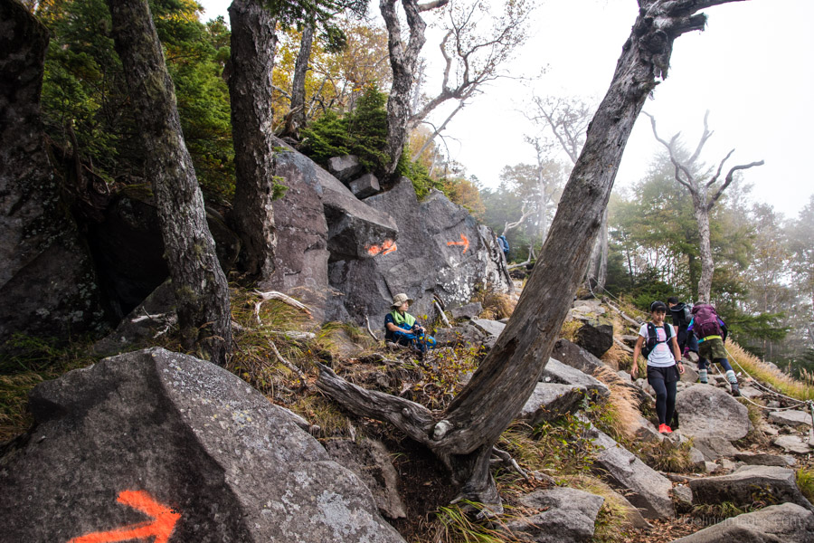
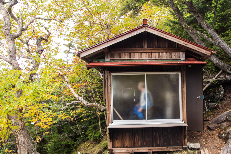
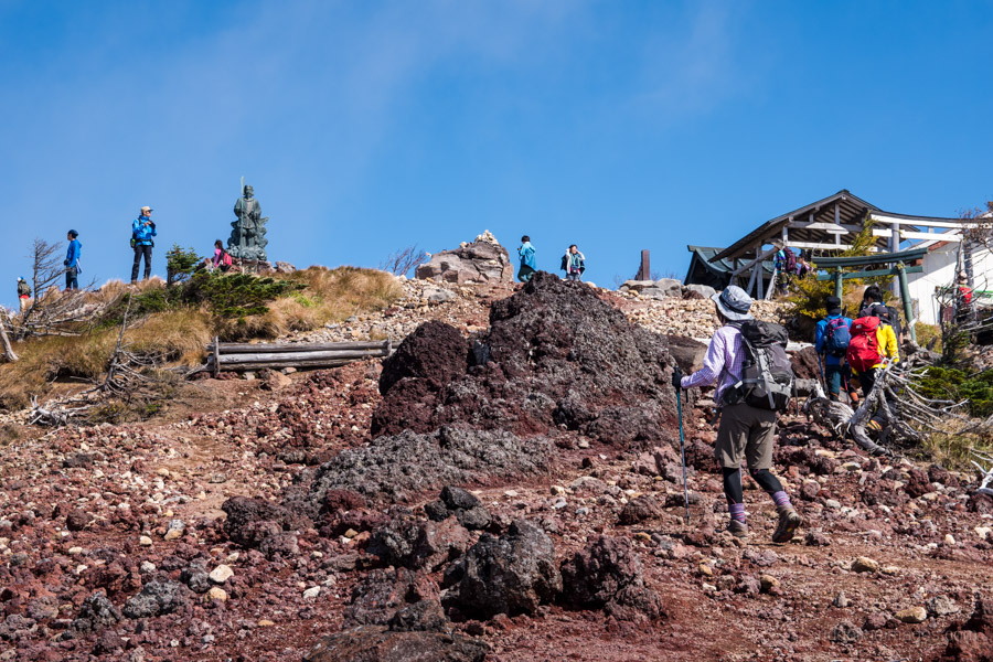
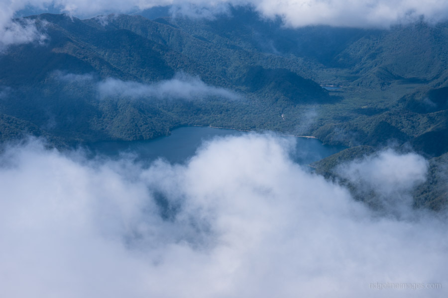
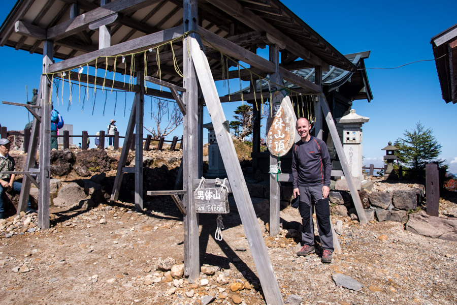
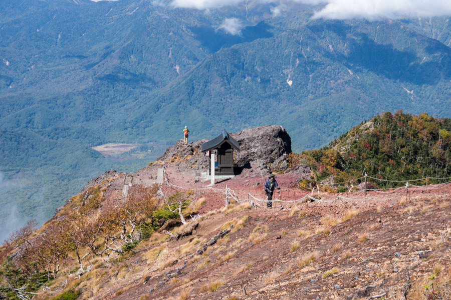
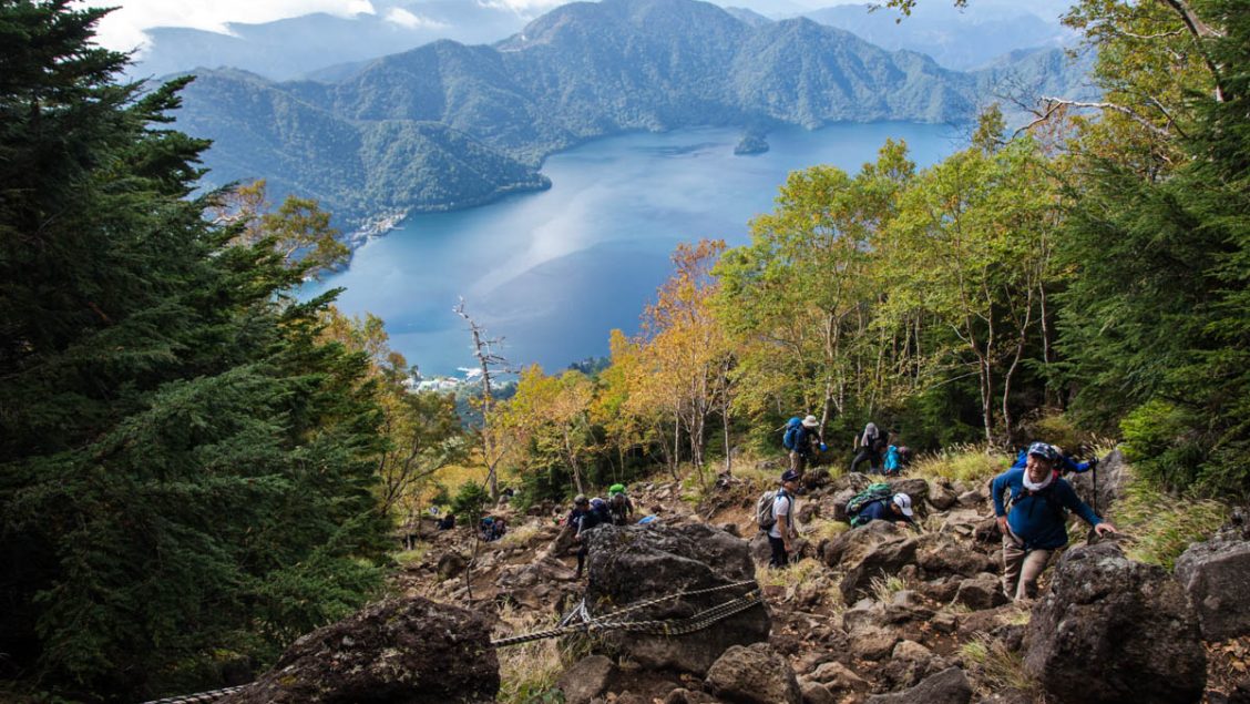
Along the way you pass three corrugated refuge shelters with earthen floors. Take extra care from the sixth to eighth stations especially in the wet where the rocky terrain often has you moving upward on all fours. Intermittent views of Lake Chuzenji below help to make it feel all worthwhile. The final push to summit (2,484 m) requires walking up a red volcanic scree slope akin to Mt. Fuji which takes around 20 minutes.
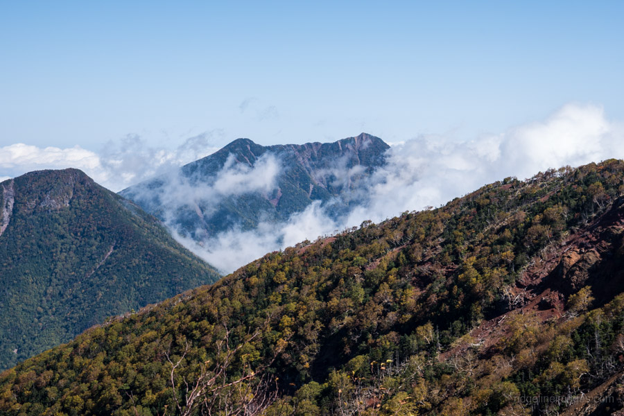
If the weather is fine, you’ll have breathtaking views of Lake Chuzenji and Mt. Nikko-Shirane. Options from the summit include retracing your steps back to the shrine or taking the path less ventured over the north flank of the mountain via the Shizu hinangoya 志津避難小屋 and finishing at Senjogahara. Allow and extra 2 hours if plan on doing this later route.