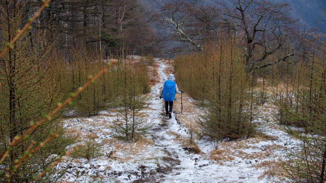
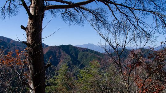
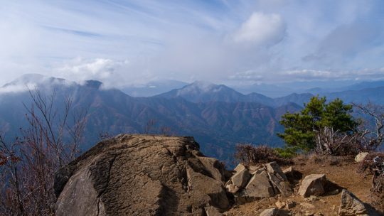
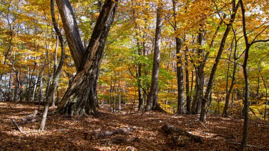
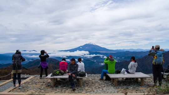
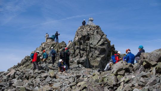
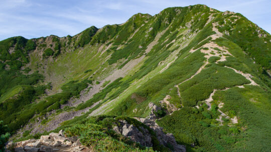
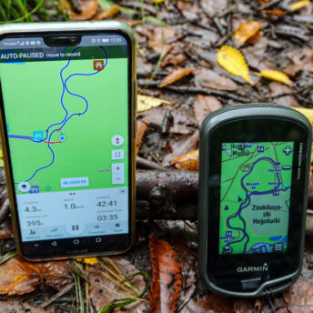
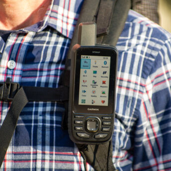
Mt. Jinba 陣馬山 (Loop Course)

Hiked on Mar 21, 2025 . Mt. Jinba 陣馬山 – Meio-toge 明王峠 – Sokozawa-toge 底沢峠 Rather than looping back to the Jinba Kogen Shita Bus Stop, this route can also be extended to finish at either Sagamiko Station or Takaosanguchi Station.  ...

Ulanzi & COMAN Zero Y Travel Tripod Review

Ulanzi Zero Y Tripod: Field Tested As a solo content creator or photographer, there are some things you can forgo when making videos or snapping photos—and some things you can’t. You might opt for a smartphone over a dedicated camera or a shotgun...

Mt. Takamatsu 高松山

Hiked on Feb 20, 2025 . Hisari-toge 尺里峠 – Nishihirabatake Park 西平畑公園   Duration: 5.5 hours   Distance: 14.6 km   Elevation change: 711 metres   Highest point: 801 metres   Start: Takamatsu-iriguchi Bus Stop  ...

Mt. Myojinyama 明神山

Hiked on Feb 14, 2025 . Yamanakako Panorama-dai 明神山パノラマ台 – Mt. Mikuni 三国山 – Mt. Takasasu 高指山   Duration: 4.5 hours   Distance: 10.5 km   Elevation change: 338 metres   Highest point: 1328 metres   Start: Mikuniyama Hiking Course Iriguchi...

Mt. Momokurayama 百蔵山

Hiked on Feb 7, 2025 . Konpira-kyu 金比羅宮 – Mt. Daidosan 大同山 – Mt. Momokurayama 百蔵山 If you wish to include neighbouring Mt. Ougiyama, you can also undertake it as a station-to-station hike starting from Torisawa Station.   Duration: 4.5 hours...

Mt. Kannokura 官ノ倉山

Hiked on Jan 24, 2025 . Kinsho 金勝山 – Kannokura-toge 官ノ倉峠 – Mt. Sekison 石尊山   Duration: 4 hours   Distance: 11.3 km   Elevation change: 244 metres   Highest point: 345 metres   Start: Tobu-Takezawa Station (Tobu...

Mt. Kurodake 黒岳 (Revisited)

Hiked on Dec 17, 2024 . Misaka-toge 御坂峠 – Kurodake Tenbodai 黒岳展望台 – FUJIYAMA ツインテラス   Duration: 6 hours   Distance: 12 km   Elevation change: 783 metres   Highest point: 1793 metres   Start: Mitsutoge Iriguchi Bus Stop   Finish:...

When a 3,000-Metre Peak Isn’t a 3,000-Metre Peak

Enter Naka-Shirane-san et al. TL;DR Not all 3,000-metre mountains in Japan are officially recognised. Peaks like Naka-Shirane-san and Gendarme lack prominence and are classified as secondary. Cultural factors and quirks, such as Fuji’s lesser-known...

Mt. Myojingatake 明神ヶ岳

Hiked on Dec 10, 2024 . Mt. Myojingatake 明神ヶ岳 – Yagurasawa-toge 矢倉沢峠   Duration: 6.5 hours   Distance: 15.7 km   Elevation change: 1144 metres   Highest point: 1169 metres   Start: Tsukahara Station (Daiyuzan Line)...

Celebrating 150 Hiking Trail Guides

The Trail Less Rushed: 150 Hikes Quietly, last month I marked a major milestone: my 150th hiking trail guide on RIDGELINEIMAGES.com! Over the past 12 years, creating these trail guides has been a labour of love. While they make up less than half of...

Archives