A Month Out: Olympic Rings at Mt. Takao

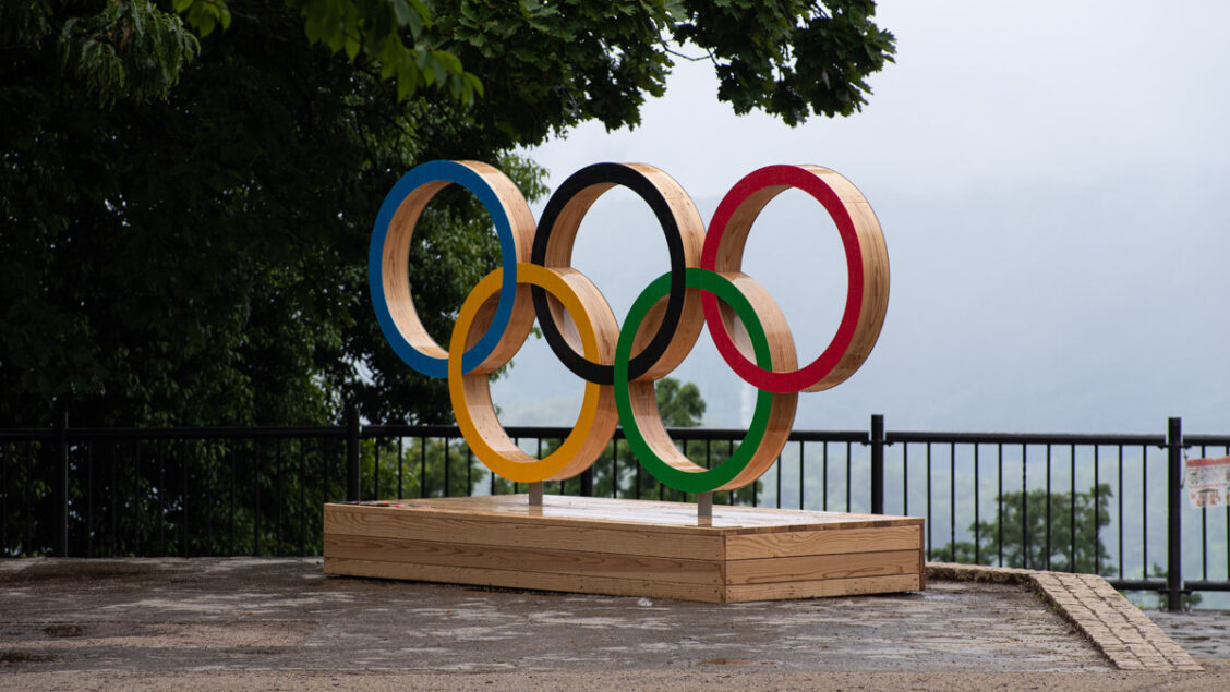
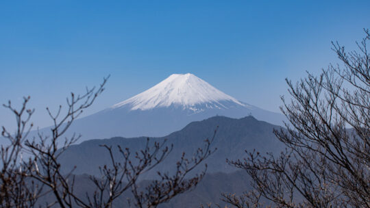
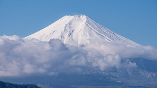
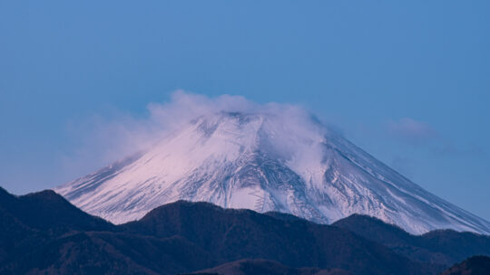
Takaosan Propping Up the Olympic Rings Like the cloak of mist which shrouded Mt. Takao for the unveiling of the Olympic rings back in April to mark 100 days before the opening of the Tokyo Olympics, the weather last Sunday was much the same. An omen...

Mt. Kukiyama 九鬼山

Hiked on May 22, 2021 . Tenguiwa 天狗岩 – Mt. Matateyama 馬立山 – Mt. Gozenyama 御前山   Duration: 5 hours   Distance: 9.9 km   Elevation change: 550 metres   Highest point: 970 metres   Start: Kasei Station (Fujikyuko Line)   Finish: Saruhashi Station (Chuo...

Sayama Hills Mountain Bike Course

Tama Lake – Sayama Lake – Noyamakita-Rokudoyama Park     For those looking for a nearby cycling path try the Tamako Cycling Road.   Duration: 2 hours   Distance: 22.7 km   Elevation change: 95 metres   Highest point: 195 metres   Difficulty:  ...

Mt. Izugatake 伊豆ヶ岳

Hiked on May 4, 2021    Mar 26, 2022 . Takahatayama 高畑山 – Amamezasu Toge 天目指峠 – Nenogongen 子の権現   Duration: 6 hours   Distance: 13.6 km   Elevation change: 561 metres   Highest point: 851 metres   Start: Shomaru Station (Seibu Chichibu Line)  ...

Meoto Falls in Hinohara Village

Efforts Rewarded at this Seldom Visited Waterfall In November last year I failed in my attempt to reach the Meoto Falls due to a dodgy trail and fear of being picked off by some local hunters. Hence a revenge mission was high on the agenda. Of the...

Mt. Takigoyama 滝子山

Hiked on Apr 19, 2021    Feb 16, 2022 . Chinseiga-ike 鎮西ヶ池 – Hinoki-daira 桧平   Duration: 7 hours   Distance: 16.4 km   Elevation change: 1020 metres   Highest point: 1620 metres   Start: Sasago Station (Chuo Main Line)   Finish: Hatsukari Station...

Mt. Nabewari 鍋割山

Hiked on Apr 9, 2021 . Futamata 二俣 – Nabewari Sanso 鍋割山荘 – Kinhiyashi 金冷シ   Duration: 7 hours   Distance: 17.1 km   Elevation change: 1096 metres   Highest point: 1386 metres   Start: Okura Bus Stop   Finish: Okura Bus Stop   Difficulty:  ...

Mt. Konara 小楢山

Hiked on Apr 2, 2021    Mar 26, 2022 . Osawa Noto 大沢ノ頭 – Mt. Sashiyama 差山 – Mt. Myoken 妙見山   Duration: 2 days   Distance: 15.2 km   Elevation change: 1233 metres   Highest point: 1713 metres   Start: Kubodaira Bus Stop   Finish: Tsutsumigawa Onsen...

15 Terrific Hikes in and Around Tokyo

Mountains You Can Climb in a Day from Tokyo Unless otherwise stated, all prices are for one-way travel using local trains and bus services. For residents and tourists alike spending too much time in Tokyo can well make you go bonkers after a while...

Mt. Takagawa 高川山

Hiked on Mar 23, 2021 . Tenjin-toge 天神峠 – Mt. Mineyama 峯山 – Mt. Musubiyama むすび山   Duration: 4.5 hours   Distance: 8.8 km   Elevation change: 516 metres   Highest point: 976 metres   Start: Hatsukari Station (Chuo Main Line)   Finish: Otsuki Station...

Review: Lonely Planet’s Best Day Walks Japan

A Beginner’s Guide to Climbing Some of Japan’s Most Iconic Mountains Hiking guidebooks targeted at foreign audiences in Japan are such rare beasts that new releases are much anticipated. This time it’s Lonely Planet’s turn to return to the fold...

What is COCOHELI and Why I Became a Member

Enjoy Hiking More Safely In July 2022, COCOHELI and jRO merged, with jRO becoming a wholly-owned subsidiary of COCOHELI. In addition to COCOHELI’s membership-based helicopter search service, jRO’s search and rescue service was integrated. If you...

Yama to Kogen Chizu: 2021 Edition

MAPPLE Special Online Maps Campaign for 2021 The map images and contents of this article have been obtained with the permission of the publisher (株式会社昭文社 Shobunsha Publications, Inc.). Come February or March each year Shobunsha Publications a.k.a...

Reading “GSI” Topographic Maps

GSI Topo Maps: A Beginner’s Guide In this previous article I described in some detail the finer points of reading “Yama to Kogen Chizu” topographic maps, this time we turn our attention to the Geospatial Information Authority of Japan (GSI) and...

COVID-19: To Hike or Not To Hike

Japan’s Second COVID State of Emergency: A Piece of Advice TL;DR State of emergency declared in Tokyo and neighbouring prefectures of Saitama, Chiba, and Kanagawa (the state of emergency was expanded to 11 prefectures on January 13). The...

From Jinba, with Love: First Sunrise of the New Year

Hiked on Jan 1, 2021 . “Hatsuhinode” Capturing the First Sunrise from Mt. Jinba A rite of passage for any hiker worth their salt is to witness a hatsuhinode or first sunrise of the New Year from a mountaintop and yesterday was my turn. The dilemma...

Archives

Subscribe

Get the latest posts straight to your inbox. No spam, ever. Unsubscribe at any time.