.
Chinseiga-ike 鎮西ヶ池 – Hinoki-daira 桧平
Distance: 16.4 km
Elevation change: 1020 metres
Highest point: 1620 metres
Start: Sasago Station (Chuo Main Line)
Finish: Hatsukari Station (Chuo Main Line)
Difficulty: ▅▅▅▅▅▅▅▅▅▅ ❹
Map: Yama to Kogen Chizu 山と高原地図 [No.26 大菩薩嶺 DAIBOSATSU-REI]
GPX TrackKML TrackGSI MAPPDF Topo Map
Take a Refreshing Hike at the Sumi River
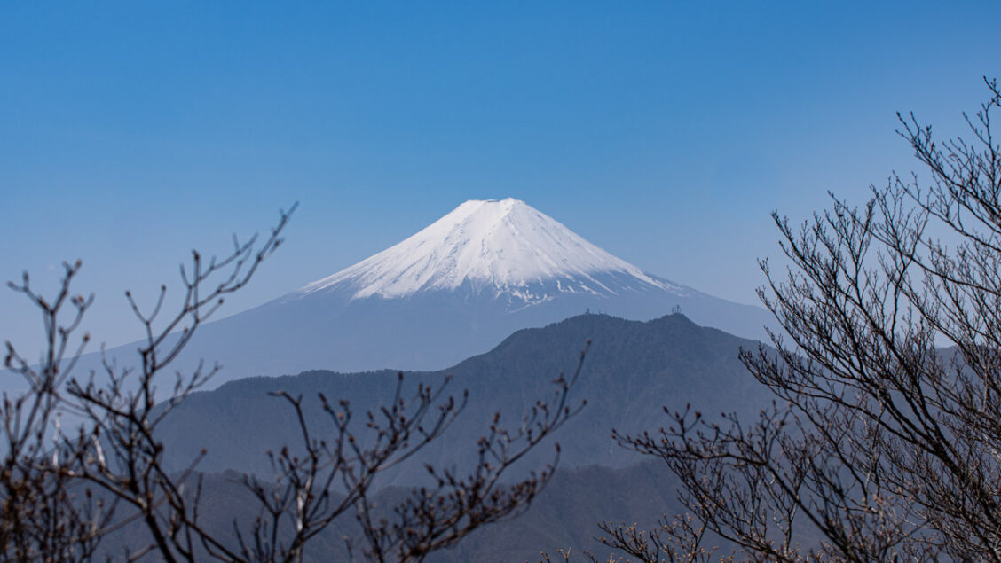
Now and again, you come across a mountain with a special awe that you kick yourself for not having visited earlier – Mt. Takigo is one of them. Located at the southern tip of the Daibosatsu mountain range the summit comprises three small peaks and stands proudly as one of Yamanashi’s 100 famous mountains. The true summit affords a wonderful 360-degree view with Mt. Fuji aligning perpendicularly to the south. There are several climbing routes including the challenging South Ridge trail indicated as a “dotted line”. This hike follows the Sumi-sawa from Sasago Station and descends via Hinoki-daira in the direction of Hatsukari Station. It’s a moderately tough hike with an elevation gain of just over 1,000 metres.
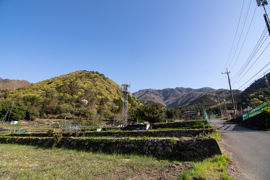
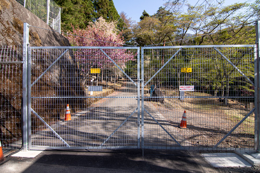
Easy access from downtown Tokyo means Mt. Takigoyama attracts hikers year-round. From Shinjuku Station, take the JR Chuo Line to Takao Station change to a Kofu bound train and get off at Sasago Station 笹子駅 (1 hr 50 mins, 1,980 yen). Leaving by the only exit, walk along the Koshu Kaido Highway turning left at the Yoshikubo entrance 吉久保入口. Cross the Chuo Main Line and after meandering through some quiet back streets the Chuo Expressway via an overpass. After which you’ll reach a tall, unlocked deer gate, carpark, and the South Ridge trail 南稜 branching off on the right but ignore it and continue walking up the bitumen. It takes around an hour from the station to arrive at Michiakashi-jizo 道証地蔵 the trailhead proper.
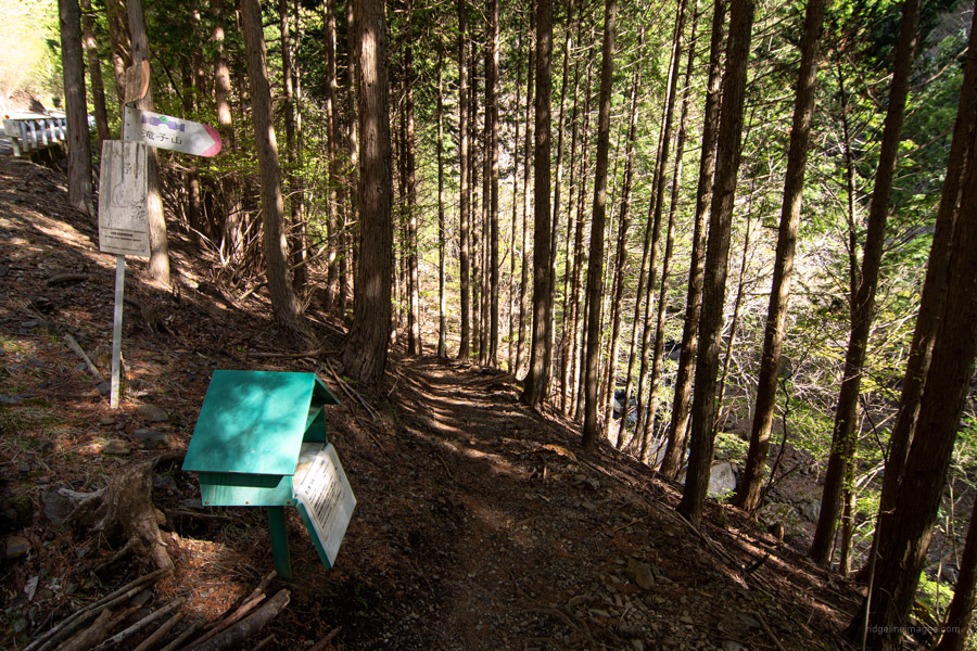
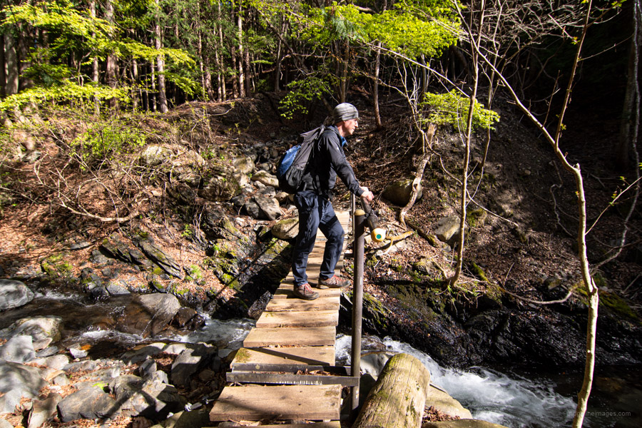
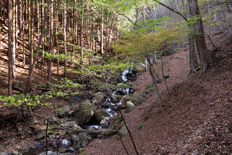
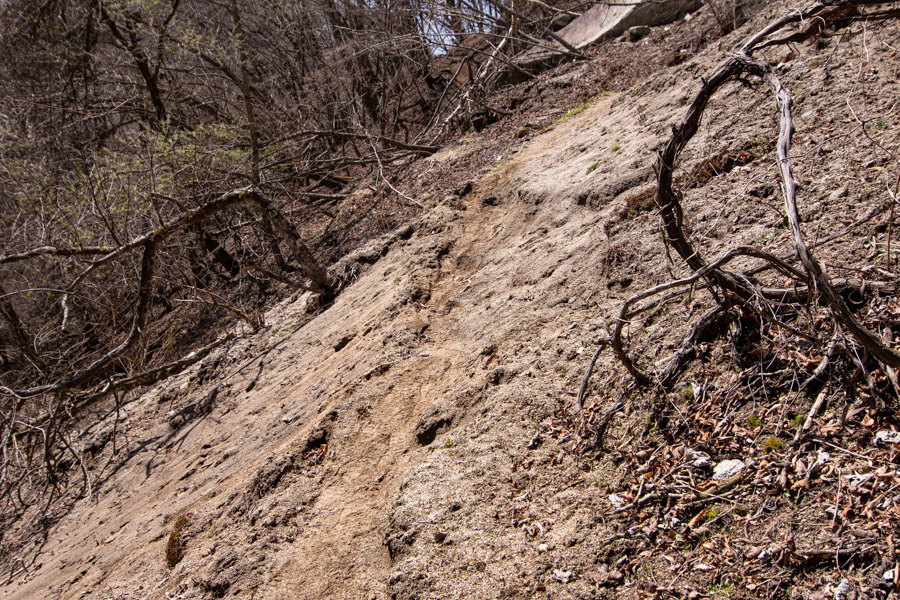
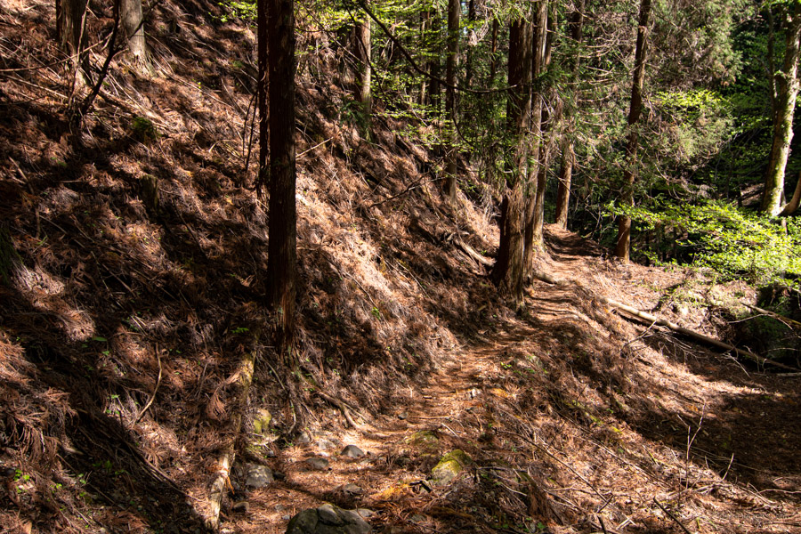
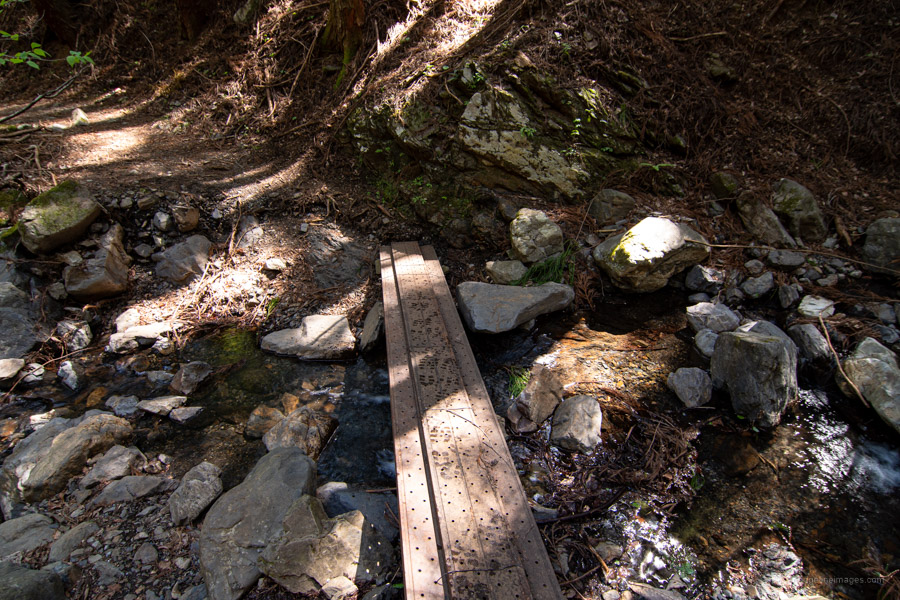
Here on in the trail shadows the scenic Sumi-sawa すみ沢 passing the Sanjo 三丈の滝 and Mochiga モチが滝 waterfalls – the latter accessible via a dotted route hugging the sandy river bank. I opted for the ukairu 迂回路 or detour which was slower going than expected with some steep switchbacks entailing occasional climbing on all fours to maintain a toehold. I plan to return in the autumn to give the waterfall route a go. Note there are some collapsed areas along the river bank so take care with your footwork but on the whole, there aren’t any particularly dangerous spots.
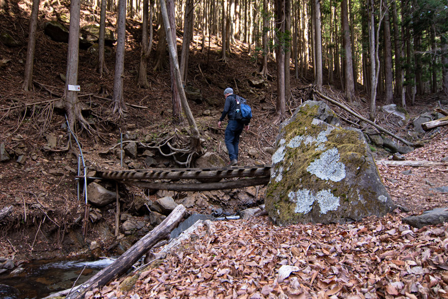
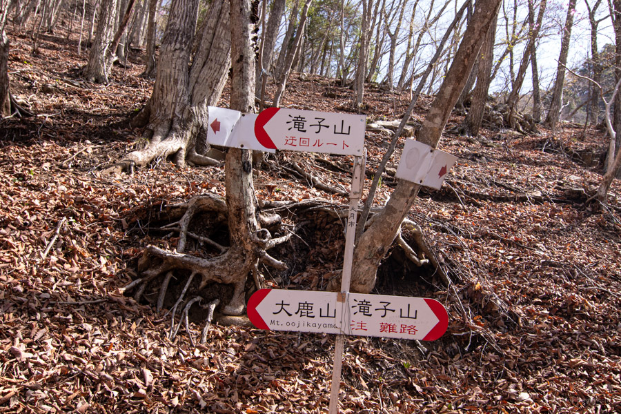
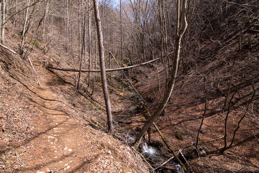
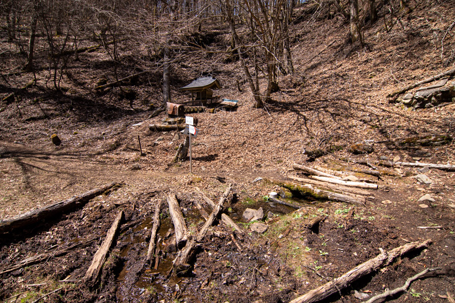
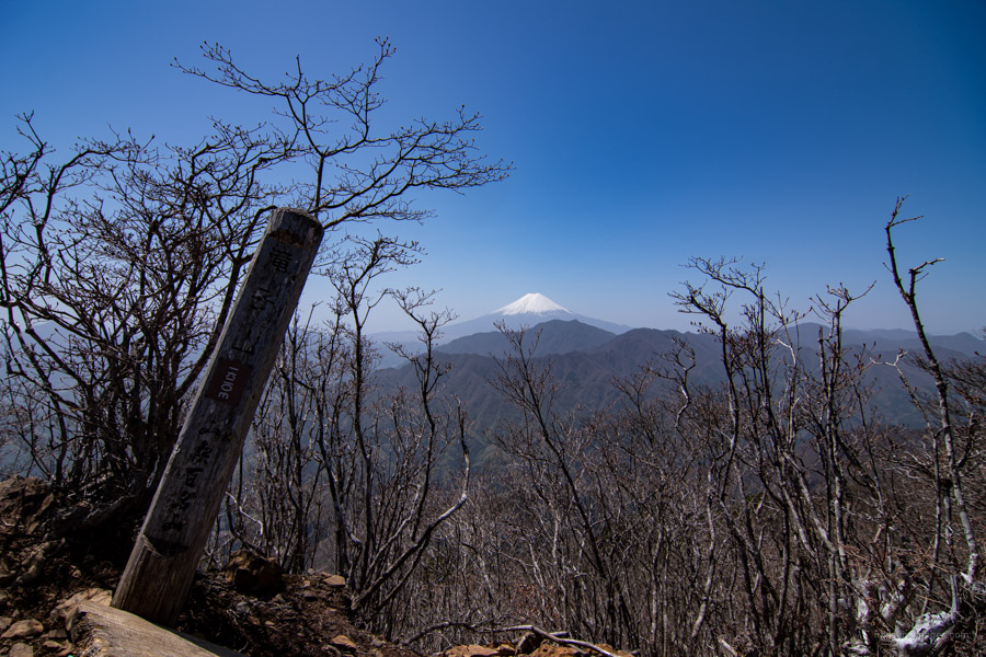
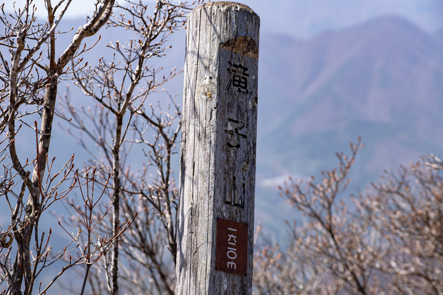
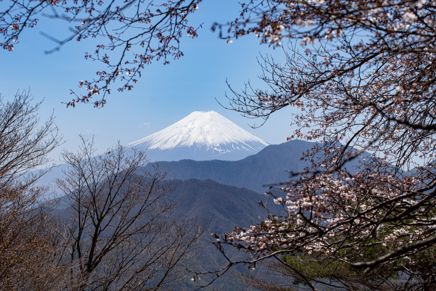
Soon the roundabout route re-joins the river trail beside a hut ruin which the map says is a nice area to see the autumn foliage. Continue along the flat river bank passing over a small log bridge before proceeding up a wide firebreak in the direction of Mt. Oyagamaru 大谷ヶ丸 and Takigoyama. Just after passing the trail fork to Oyagamaru finds Chinseiga-ike 鎮西ヶ池 near a small shrine. From here the summit of Mt. Takigoyama 滝子山 (1,620 m) is nigh and after 3.5 hours of climbing you are rewarded with some grand views of Fujisan with Mitsutoge and Honjagamaru in the foreground, Daibosatsu-toge to the north and Yatsugatake and the Southern Alps in the distance to the west .
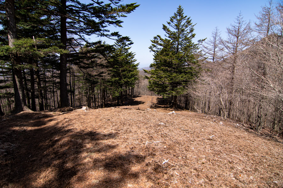
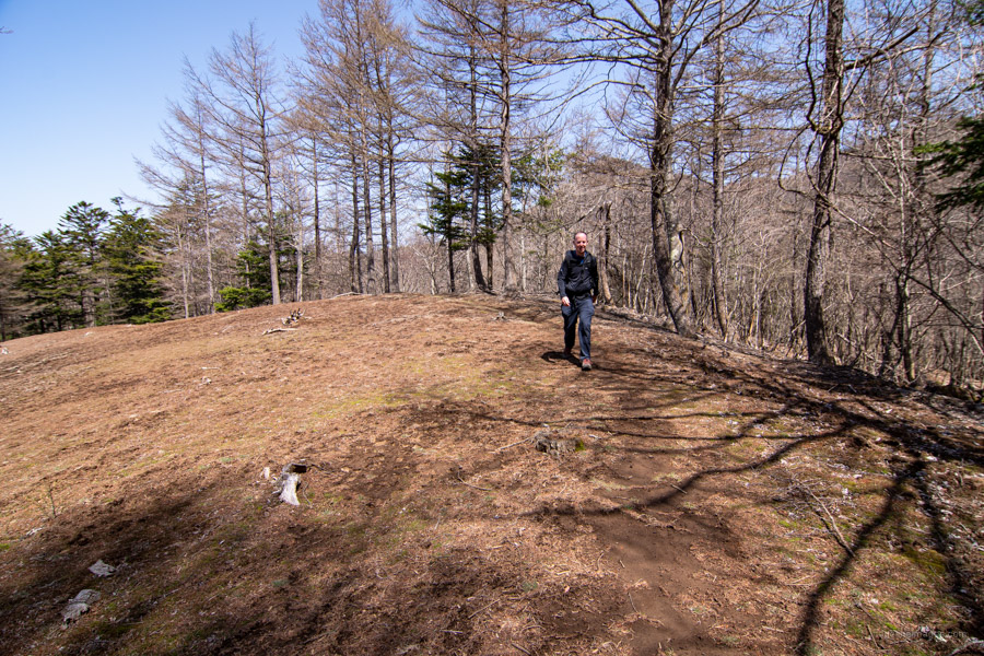
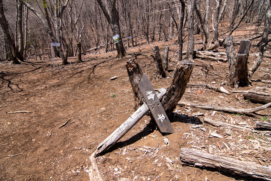
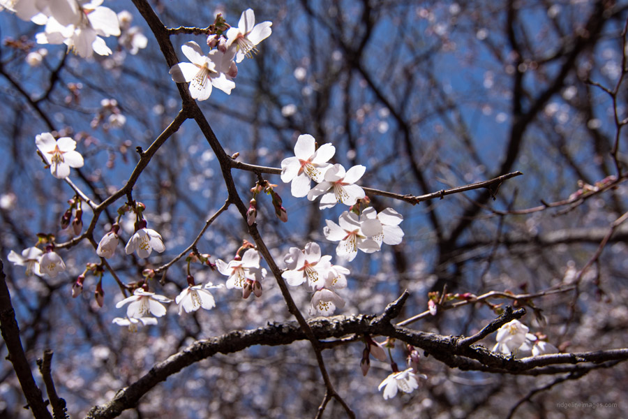
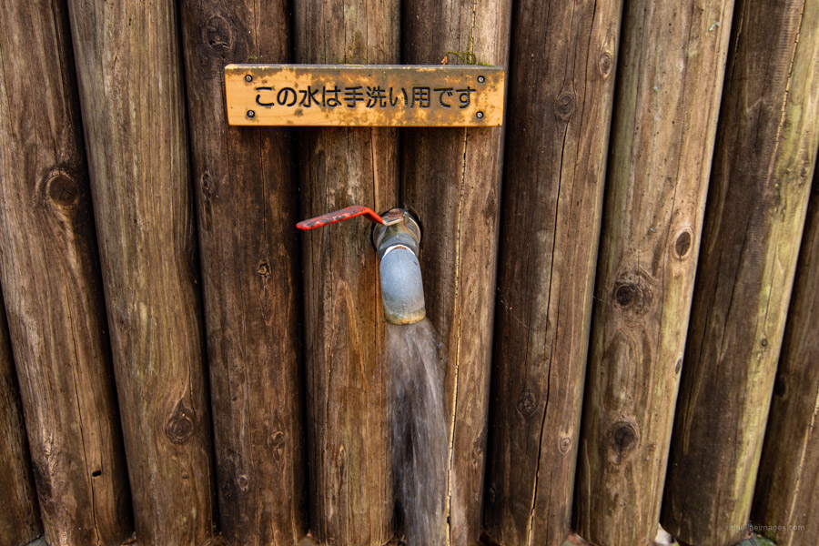
After lapping up the sights return to the trail branch and descend toward Hatsukari Station 初狩駅. After 10 minutes of rocky trail, finds the Otoko-zaka 男坂 (male) and Onna-zaka 女坂 (female) trail branch. The Onna-zaka is the easier but longer of the two trails. Take your pick, as they meet further up at Hinoki-daira 檜平 a lovely setting to take lunch with mountain cherry blossoms in the spring overlooking Mt. Fuji. Stick on the ridgeline until the trail deviates from the ridge and begins a series of zigzags through cedar forest to the valley bottom. Note the water source here is for hand washing only. For the final section the trail follows alongside the river eventually popping out at a forestry road. It’s a brisk 30 minutes walk after that to get to Hatsukari Station.


Brilliant hike – did it yesterday. Cheers for this! Actually a little tougher than I imagined in places – as you said, a few washed away spots and glad I had my grippy gloves to manage some of the steeper inclines on the way up and particularly down – I actually slipped in one spot and grabbed one of the ropes they have in some difficult spots to save me from going completely a-over-t. The downward trek certainly had my thighs letting me know all about it this morning.
Rec. plenty to drink (no shops around Sasago station, from what I saw, so come prepared!), good boots, trekking pole(s) could help in spots, all that. Oh, and glad I took my little stool to pop up under the low shady trees at the summit (not a big area for lunch up there. Superb view, though).
Glad I did it with all the greenery of early autumn, but it must be even better with the autumn foliage in those gullies (though, with more people, no doubt! Only saw four others yesterday, a weekday Friday, on the mountain). The moss along the streams and the many waterfalls were very nice indeed. Your 7 hours estimation was about right. I made it from the trail head to the summit in almost bang on 3 hours, but by myself at a fairly steady clip. An enjoyable ramble/workout!
Glad you enjoyed it. As you say it’s a decent climb up from Sasago Station but totally worth it for the views. If you haven’t already, I’d also recommend ‘challenging’ Honjagamaru starting from the south side of the tracks with similarly excellent views together with Seihachiyama.