.
Osawa Noto 大沢ノ頭 – Mt. Sashiyama 差山 – Mt. Myoken 妙見山
Distance: 15.2 km
Elevation change: 1233 metres
Highest point: 1713 metres
Start: Kubodaira Bus Stop
Finish: Tsutsumigawa Onsen Bus Stop
Difficulty: ▅▅▅▅▅▅▅▅▅▅ ❹
Map: Yama to Kogen Chizu 山と高原地図 [No.29 金峰山・甲武信 KINPU-SAN·KOBUSHI]
GPX TrackKML TrackGSI MAPPDF Topo Map
Climbing One of Yamanashi’s Finest 100 Mountains
Mt. Konara seems to fly under the radar perhaps because it surrounds itself with more alluring peaks such as Mt. Kentoku, Mt. Kinpu and the Nishizawa Gorge. Too bad as the mountain lurking just outside the Chichibu Tama Kai National Park proffers some mighty fine views along with being one of Yamanashi’s 100 famous mountains. There are several climbing courses the easiest being Yakeyama Pass 焼山峠 with an elevation change of just 193 metres – note Yakeyama Pass is serviced by a seasonal weekend bus (reservation required). The route chosen for this hike in contrast climbs over 1,200 metres though is for the most part gradual, finishing on the second day the Tsutsumigawa Onsen.
Day 1: A Steady Ascent to a Grand View (9.4 km)
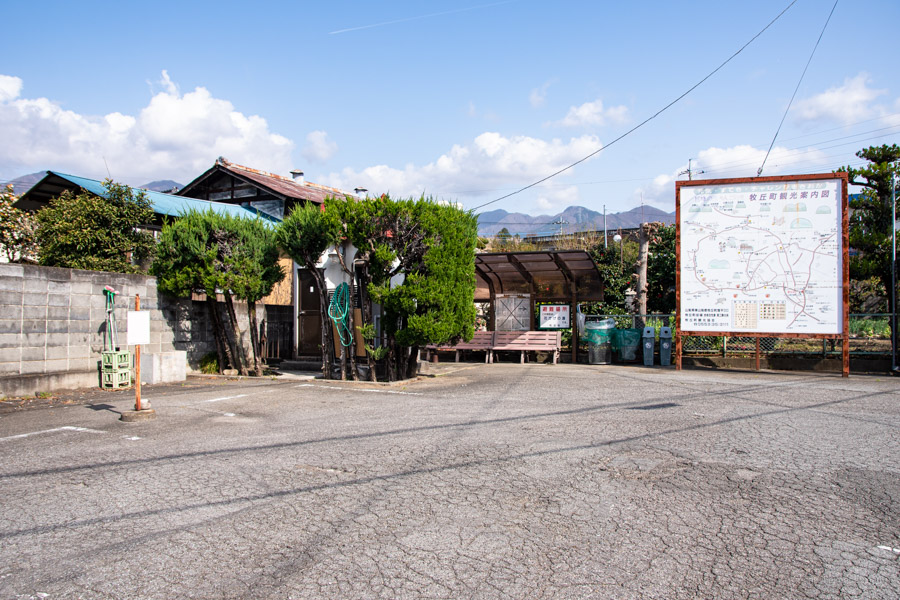
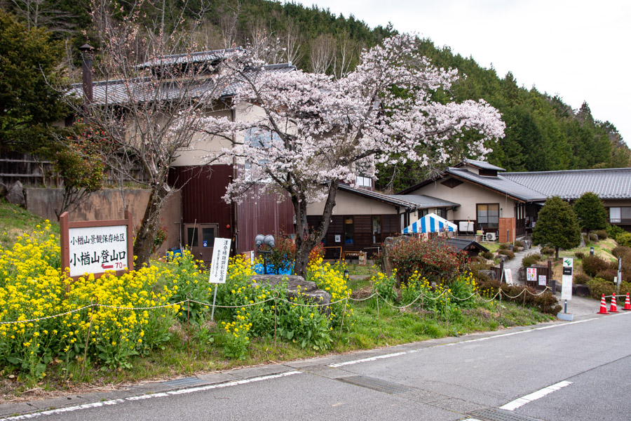
Like many Yamanashi based hikes on this site the kick off point is Enzan Station around two-hour train ride from Shinjuku Station. Turn right out the ticket gate, down the stairs, and make a beeline for Bus Stand 1. Take a short ride to Kubodaira 窪平 (15 mins, 200 yen). Buses are few and far between so aim for the first morning bus at 8:25 am. After Kubodaira it’s an hour of uphill walking to reach the Hoken Nouen Hotel Fufuyamanashi 保健農園ホテルフフ山梨 alongside a small carpark near a gated road. From here the trailhead proper is a bit over an hour further up the valley at the upper carpark. For directions from the bus stop to the trailhead refer to the attached GPX track file.
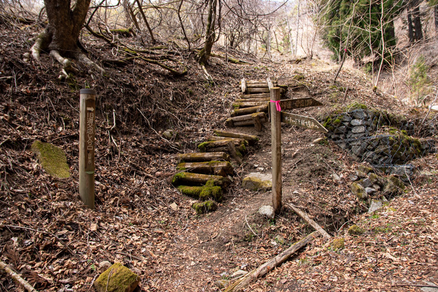
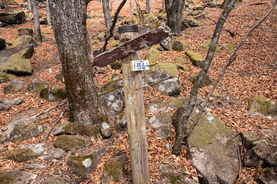
Just before reaching the top carpark finds the ‘Father Love Road’ 父恋し路 denoted as a dashed line on the Yama to Kogen map. This hike instead follows the gentler and well-trodden ‘Mother Love Road’ 母恋し路 around to the right. If you plan to complete this hike over two days, you’re going to have to carry water. Thankfully, there is a small river at the entrance of the Father Love Road to fill up, drinking water is also available from taps outside the restrooms at the lower carpark. The map indicates a water hole at Ippai-mizu 一杯水 but was dried out when I visited.
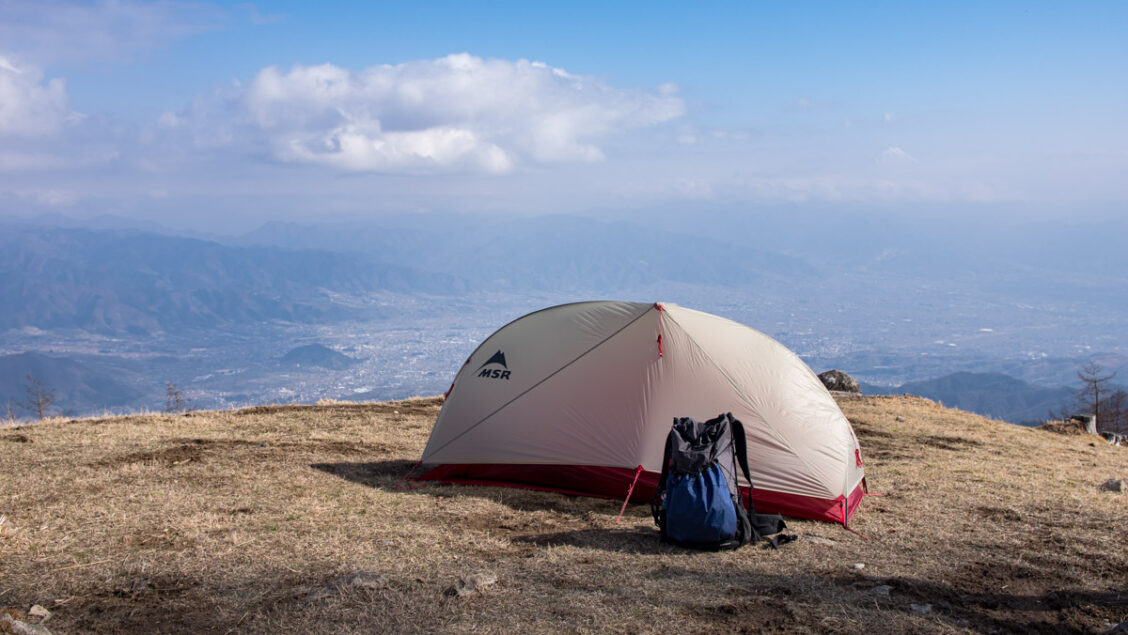
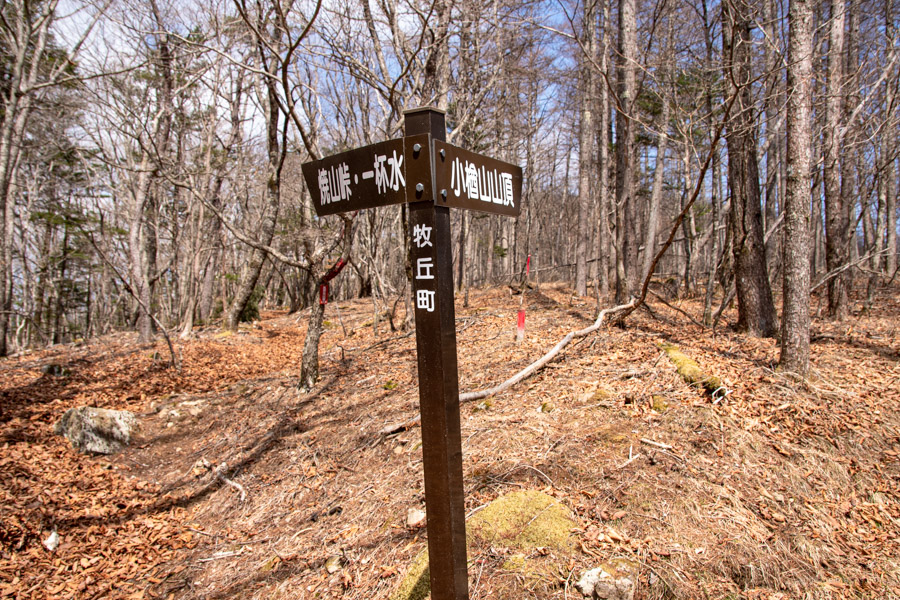
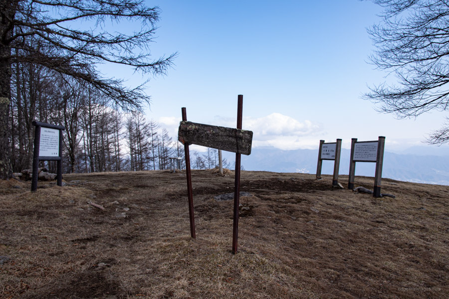
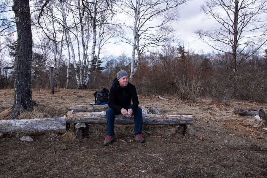
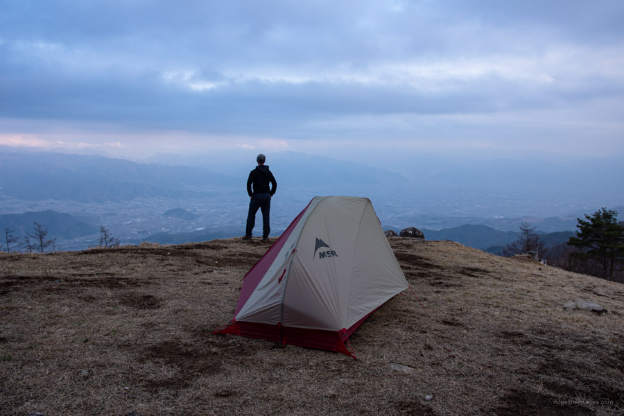
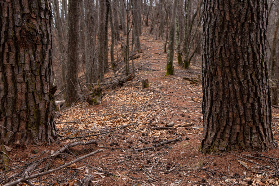
On the first day a good place to take lunch is along the Mother Love Road with a few flat spots among the twists and turns to the ridgeline. At the ridgeline you can either head directly to Mt. Konara 小楢山 (1,713 m) or mosey around past Ippai-mizu. As the summit isn’t a designated campsite try to be discreet only setting up after the last hikers have left for the day and hotfooting it early the following morning. As a point of reference, I didn’t see any hikers over the two days – rare even in these days of COVID.
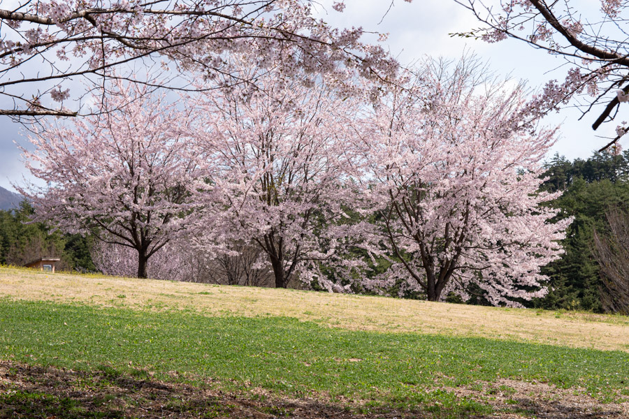
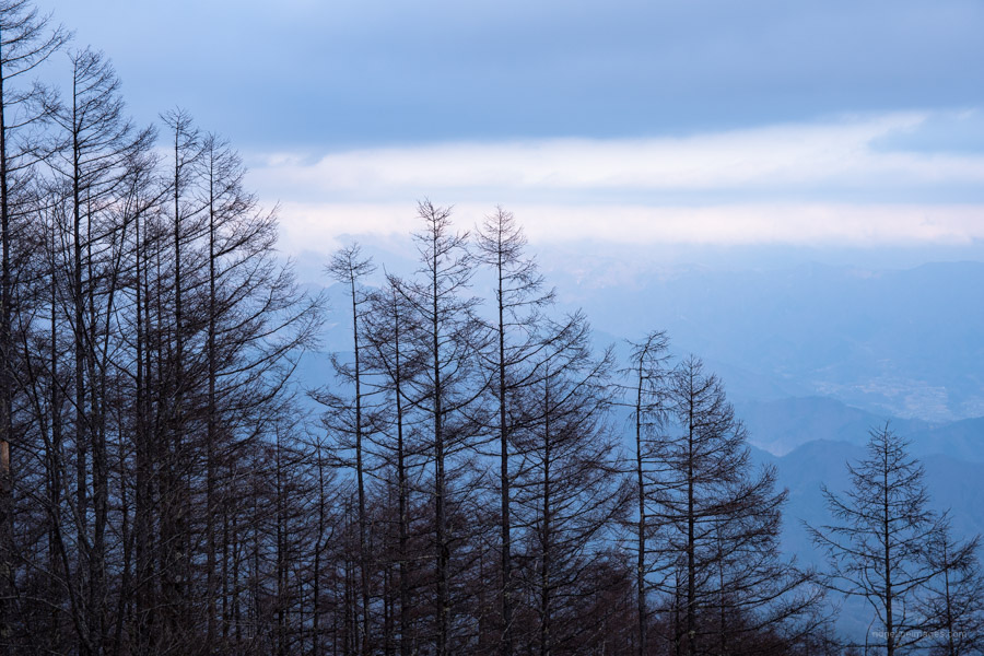
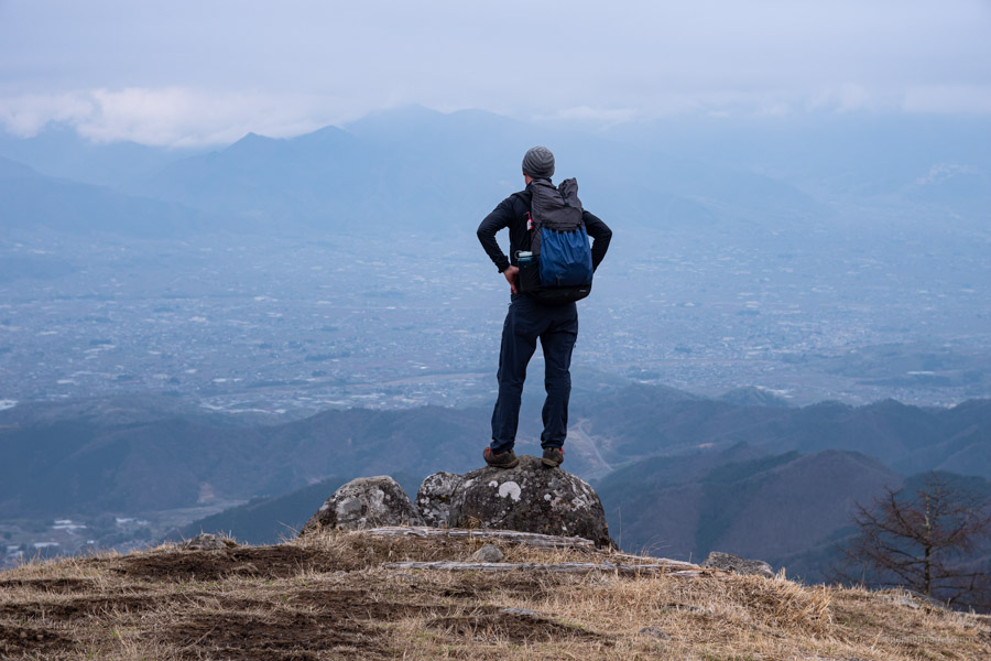
In fine weather savour a 180-degree view including Fujisan, Southern Alps, Mitsutoge, and Daibosatsurei. Given the cloudy conditions I had to content myself with an outlook of the Kofu basin and abutting mountains. The night view of the city lights is a sight to behold.
Day 2: Rough, Steep, Faint, and with Chains (5.8 km)
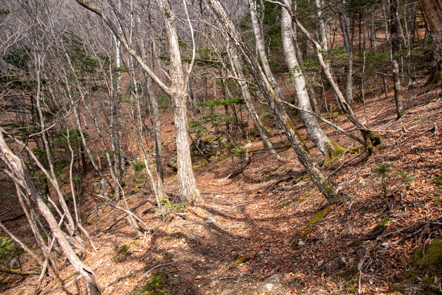
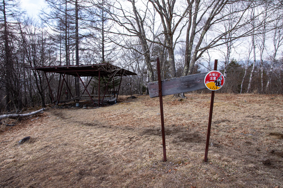
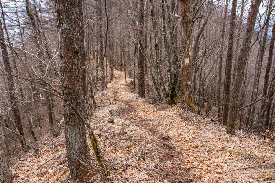
The overnight temperature for this time of year was a relatively mild 4 degrees with barely a breath of wind. Sitting up in my sleeping bag eating breakfast, I suddenly heard some snivelling outside, taking a peek brought some relief learning it was a Japanese badger or anaguma rather than something larger and more menacing. After breaking camp, I was back on the trail before 7:00 am. Compared to the first day the route down to the Tsutsumigawa Onsen 鼓川温泉 is rougher, steeper, faint in areas – though marked with pink tape and is suited to more experienced hikers.
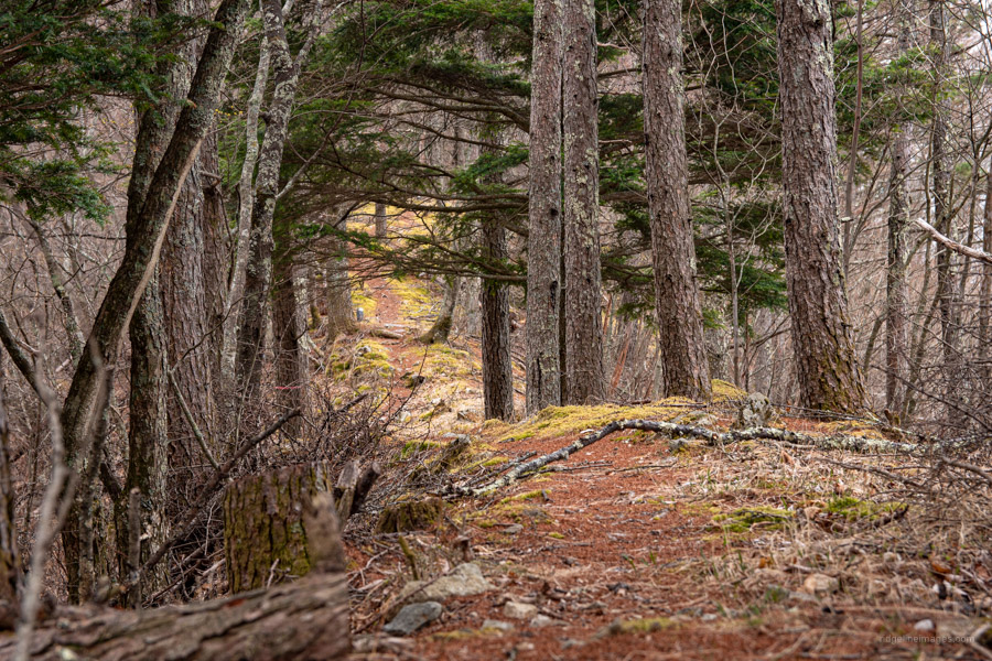
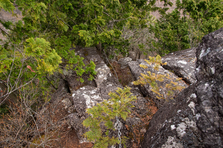
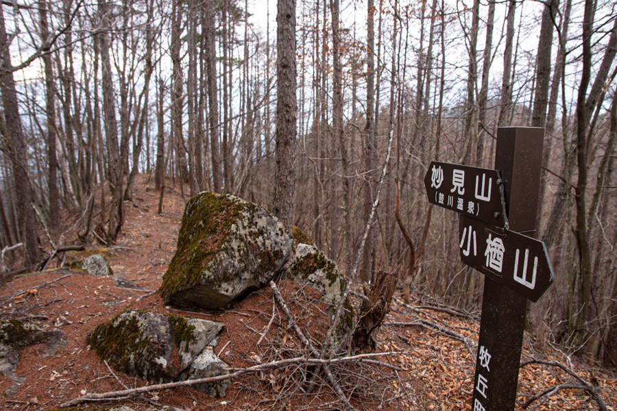
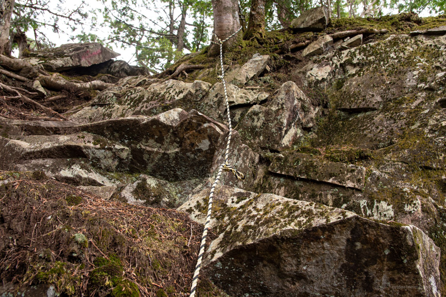
The second day starts off with a leisurely stroll through tracks of Mizunara oak that link the twin peaks of Mt. Konara and Osawa Noto 大沢ノ頭 (1,675 m). Look out for a huge rock face known Makuiwa 幕岩 that can be scaled using chains. From Osawa Noto where the Father Love Road intersects the trail zigzags through a logging coupe. The ridgeline eventually crosses a road at Ichiji no toge 一次の峠. Take a rest here as what lies ahead is a short steep climb followed by a procession of chains. The last chain up to Mt. Sashiyama 差山 (1,358 m) requires some finesse to haul yourself up triggering an instant adrenaline rush.
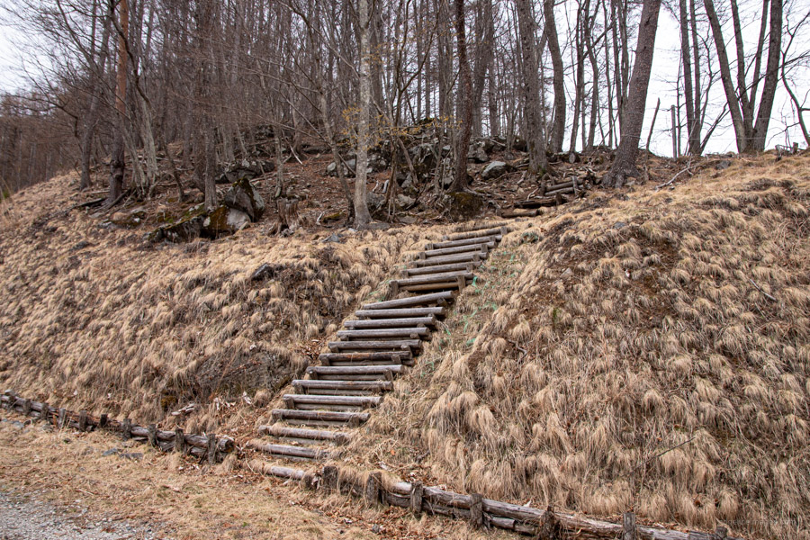
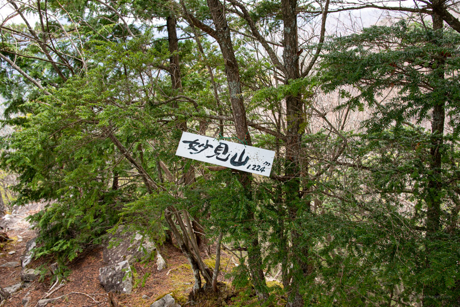
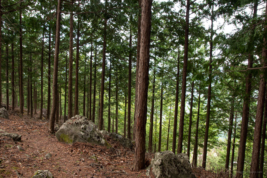
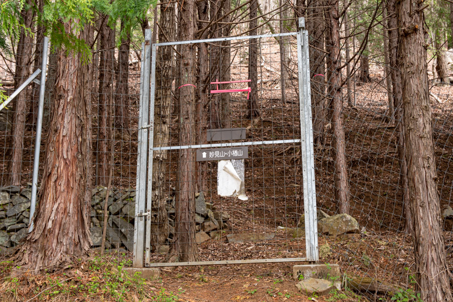
From here the trail continues to drop in elevation first passing Mt. Myoken 妙見山 (1,224 m) and plantation forest before reaching another latched deer gate near the Tsutsumigawa Onsen Bus Stop. By all accounts it’s a highly rated hot spring but decided to give it a miss as the following bus was too long a wait. The first bus returns you to Kubodaira (15 mins, 200 yen) followed by a further bus to either Enzan (15 mins, 350 yen) or Yamanashi-shi stations depending on the time of day. For day-trippers I recommend starting at the onsen and hiking the course in reverse.


Thanks for another great writeup David. Reading this brought back some very nice memories. Taking in that crazy night time view out to the city lights from the edge of the summit, was one of my all time favourite hiking moments.
Cheers and safe hiking.
Thanks for putting Mt. Konara my hiking radar Greg. You are right the view of the city lights from the mountaintop is really something wonderful, isn’t it? I think it’s going to be tough to beat.