.
Mt. Ariyama 蟻山 – Mt. Fuji viewpoint 富士山展望台 – Mt. Tenshin 天神山
Distance: 10.5 km
Elevation change: 246 metres
Highest point: 713 metres
Start: Tsurushi Station (Fujikyuko Line)
Finish: Higashi-Katsura Station (Fujikyuko Line)
Difficulty: ▅▅▅▅▅▅▅▅▅▅ ❷
Map: Tsuru Alps hiking map
GPX TrackKML TrackGSI MAPPDF Topo Map
The Surprisingly Delightful Tsuru Alps
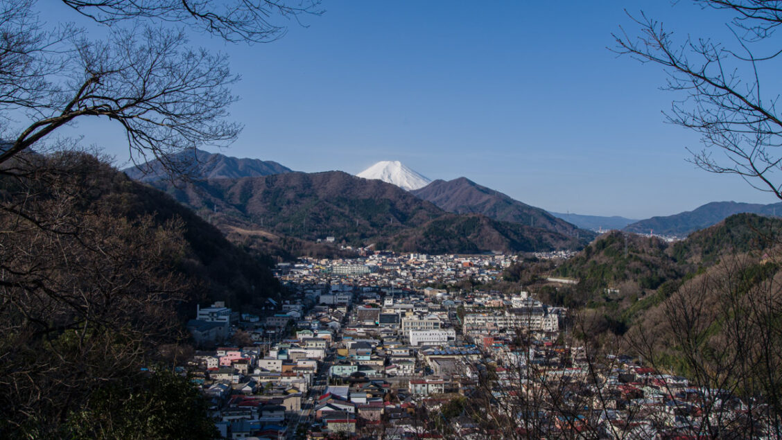
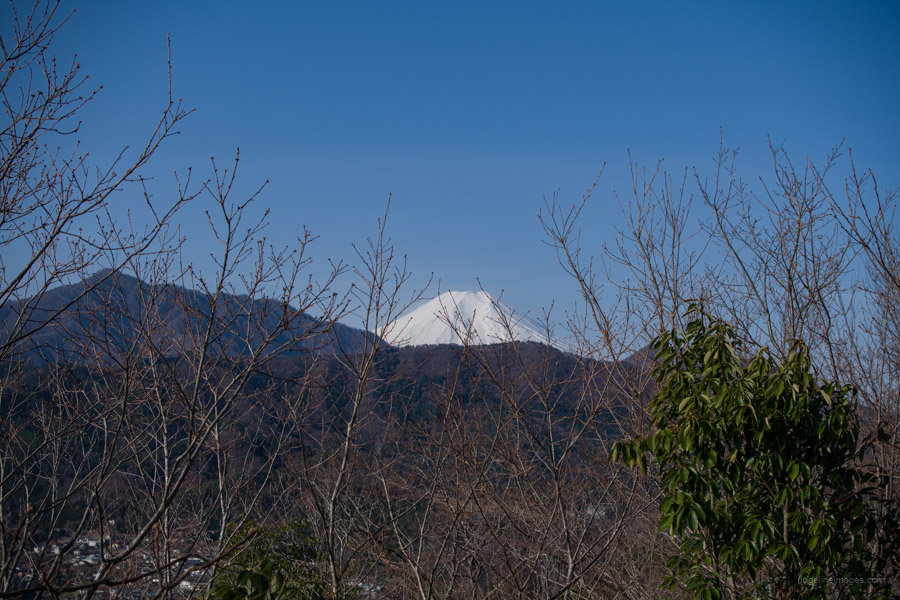
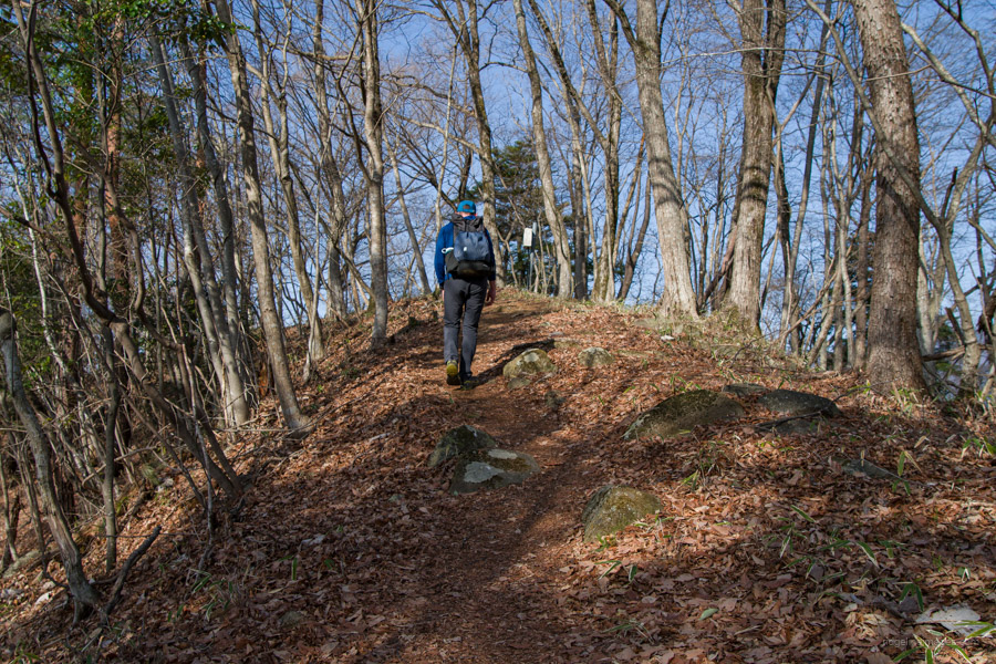
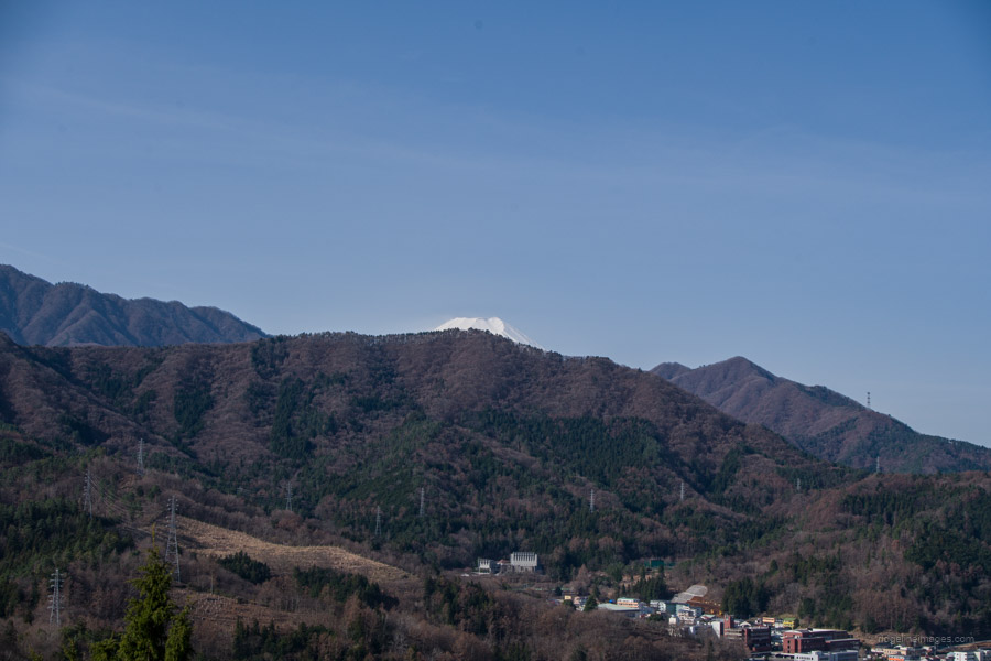
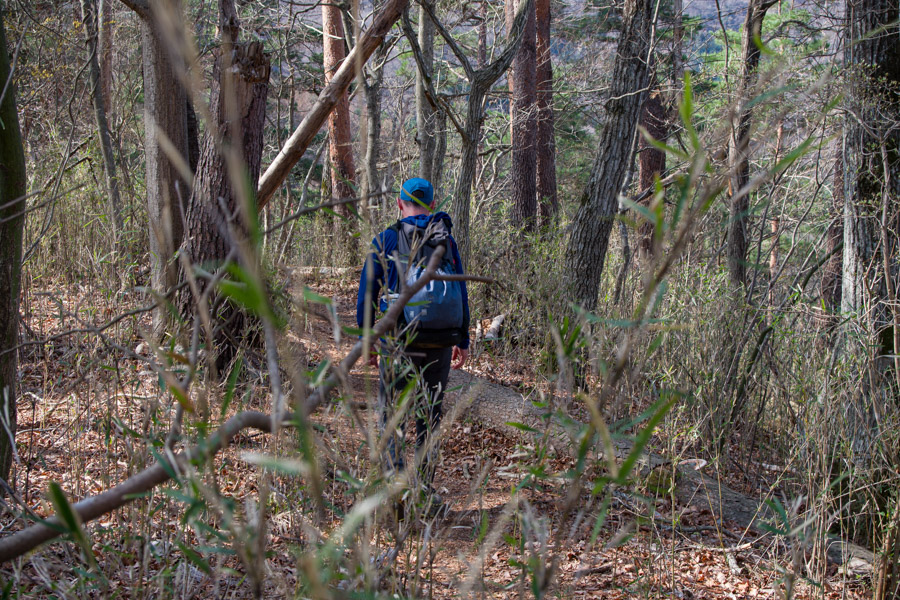
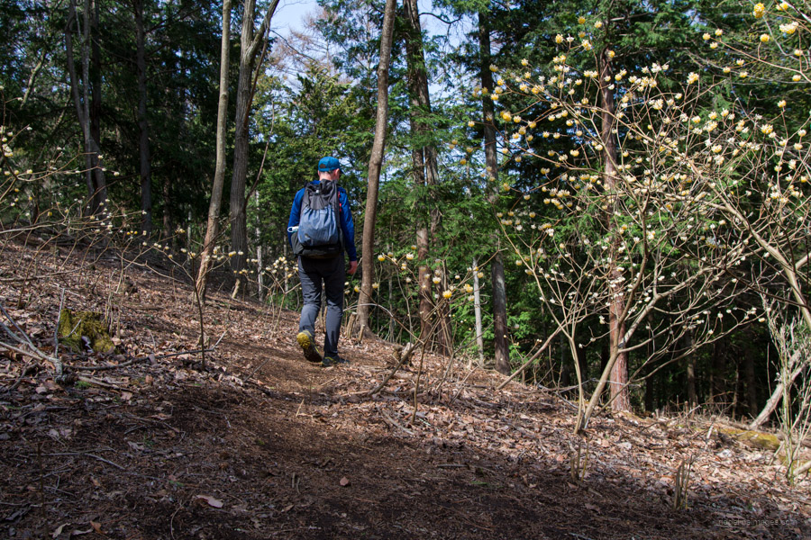
In Japan, the term ‘Alps’ is tossed around way too lightly, as it refers not only to towering 3,000-metre peaks but also to low-lying mountain ranges that hover around 400 metres on the outskirts of Tokyo. The Tsuru Alps Hiking Trail 都留アルプスハイキングコース in Tsuru City, Yamanashi Prefecture, fall into the latter category and are the handiwork of the Tsuru City Mountaineering Club, which helped develop them starting in 2016. It is a series of mountains with elevations ranging from approximately 550 to 700 metres, running alongside the Katsura River. The hiking course is approximately 8 kilometres in length, offering several panoramic viewpoints with views of Fujisan, and is also fairly undulating.
There are three courses to select from: Family Course ファミリーコース, Standard Course 一般コース, and Gattsuri Course がっつりコース, which takes you through the Tsuru Alps from one end to the other, as was done on this occasion. I didn’t have high expectations before visiting, but the hike turned out to be surprisingly enjoyable, largely due to the dedicated volunteer efforts put into maintaining it.
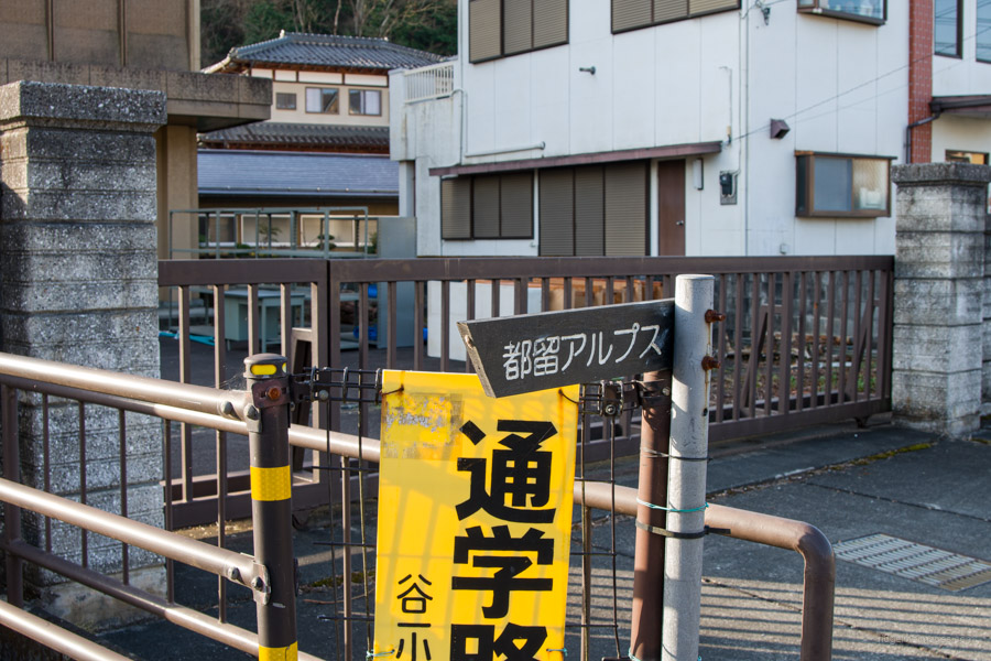
To reach Tsurushi Station 都留市駅, the starting point for the hike, transfer to the Fujikyuko Line at Otsuki Station (16 minutes, 470 yen). It’s recommended to start from Tsurushi Station for the best chance of seeing Fujisan. Upon leaving the station, keep an eye out for the Tsuru Alps 都留アルプス signpost. Signposts are available at branching points, so there’s no need to worry about getting lost. Unlike most hiking trails in Yamanashi Prefecture, which often lack adequate signage, the Tsuru Alps trail sets a positive example. Additionally, there is a conveniently located 7-Eleven near the station. It should be noted that it it doesn’t appear on the Yama to Kogen Chizu maps.
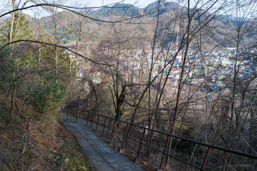
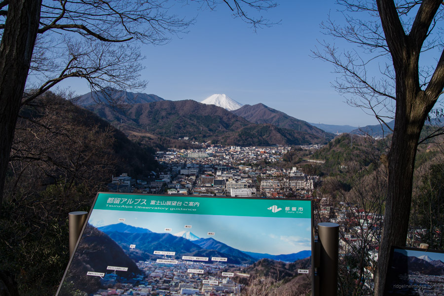
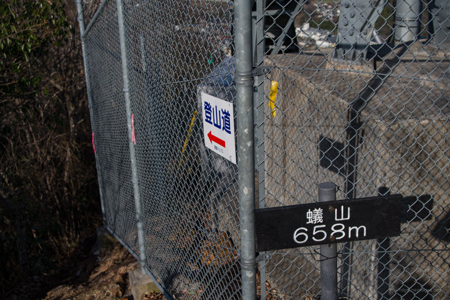
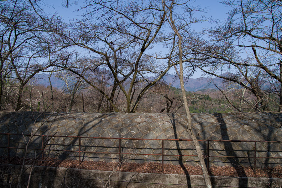
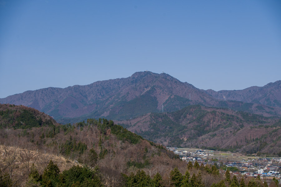
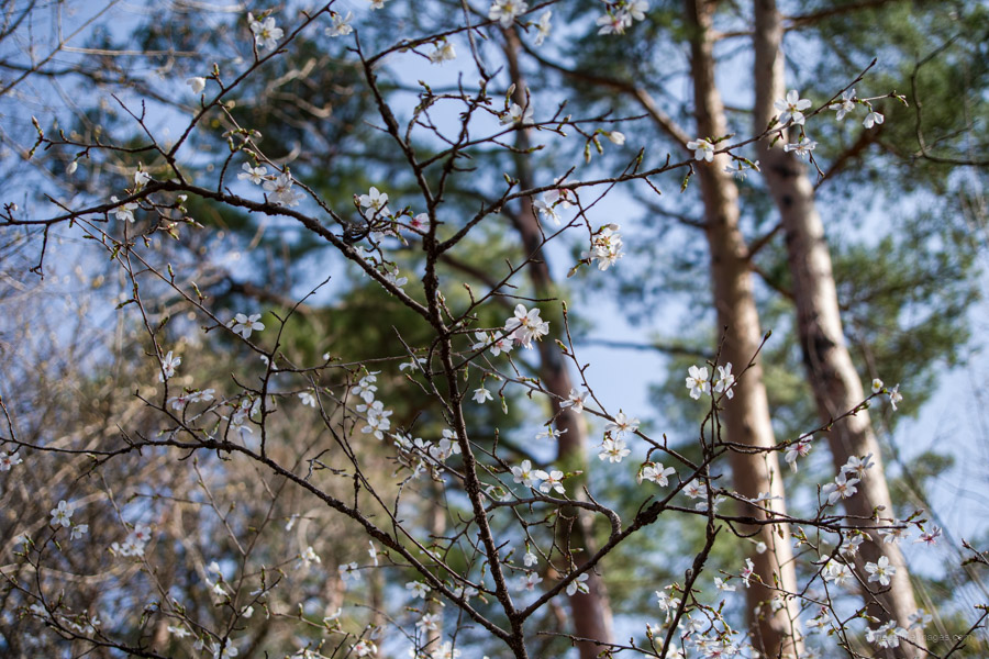
The starting point of the hike rests besides a Taisho-era hydroelectric power plant, which likely explains the large number of transmission towers along the way. Oddly enough, walking up the concrete pathway may actually be the steepest climb of the entire Tsuru Alps route! The view from the top includes the likes of Mt. Takagawa. A short detour brings you to the Mt. Fuji viewpoint 富士山展望台 which offers a nice sweeping view including Mt. Shakushi and Mt. Kurami. Return to the fork and continue to Mt. Ariyama 蟻山 (658 m), the first peak of the Tsuru Alps. It’s unfortunate that the antenna has obstructed what would typically be a prime viewing spot.
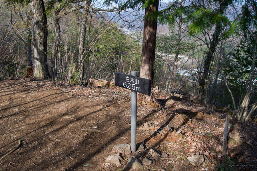
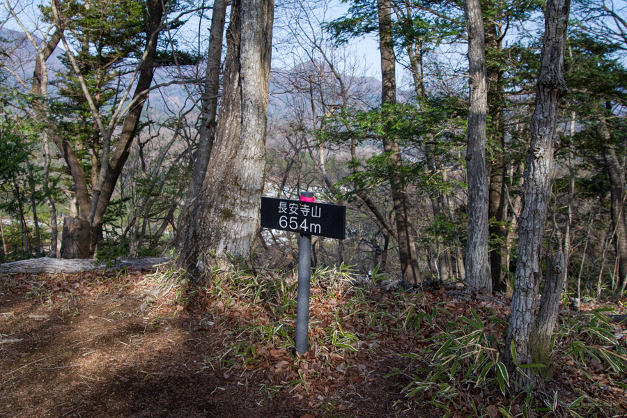
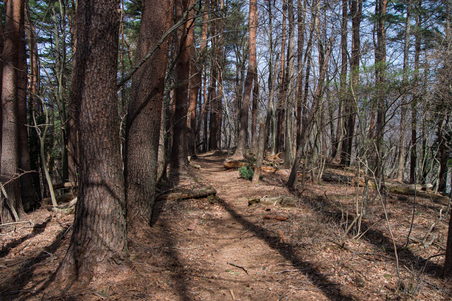
In the distance, you can see Mt. Mitsutoge, the highest mountain in the area. From Mt. Ariyama, there is a rather steep descent with fixed-rope to steady your footing. Once you reach the bottom, you will be moving along a flat section for a while past the first transmission tower. Next is Mt. Shiraki 白木山 (625 m), a nondescript peak on the ridgeline, followed by Mt. Choanji 長安寺山, (654 m). Just after here, a short detour will take you to Panaroma viewpoint パノラマ展望台 with the Tsuru City cityscape in front.
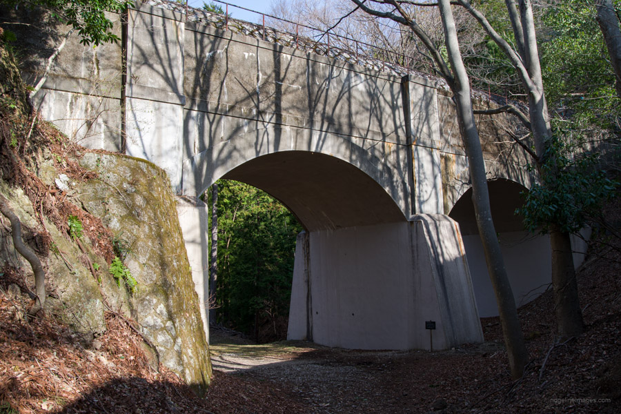
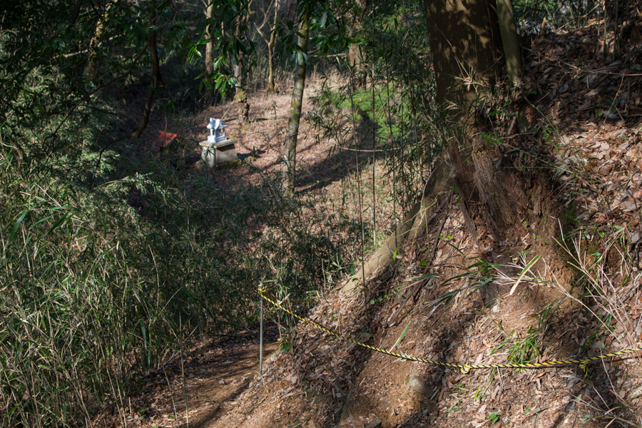
From the observation deck, you’ll descend to the Kajiya-Zaka aqueduct 鍛冶屋坂水路橋. This aqueduct channels water from the upper reaches of the Katsura River to the power plant you passed earlier. From the saddle, the trail ascends once more. For a stretch, the trail runs parallel to this waterway, which intermittently disappears and re-emerges from the ground. Continuing on, you’ll encounter Mt. Tenshin 天神山 (580 m) and as you descend, the aqueduct reappears alongside a small shrine, followed shortly by a sheltered rest area. Beyond this point, you’ll pass through a former logging area now undergoing reforestation. Looking back, you’ll be treated to a panoramic view of the entire Tsuru Alps range behind you. On the right-hand side, a series of mountains stretches from Mt. Honjagamaru to Mitsutoge along with Shirayanomaru.
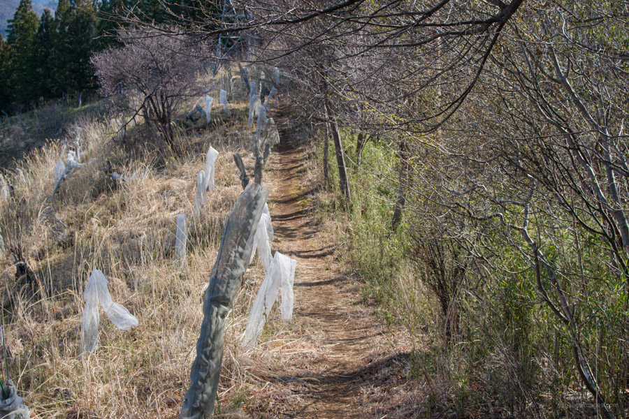
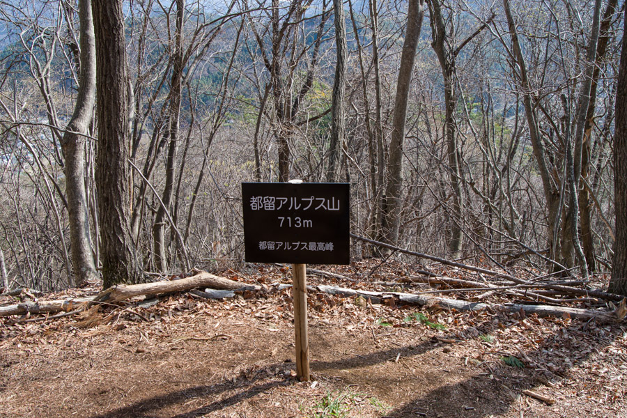
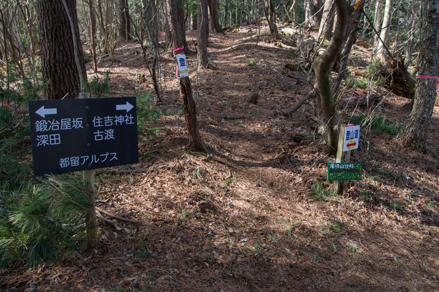
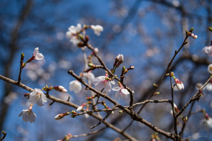
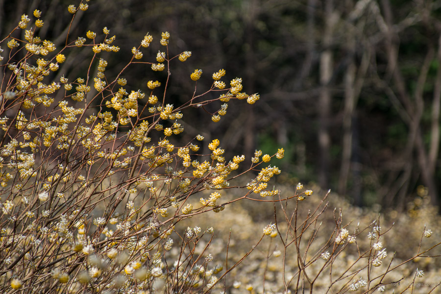
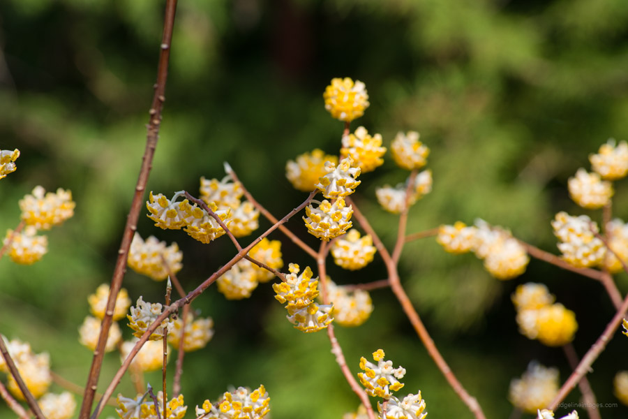
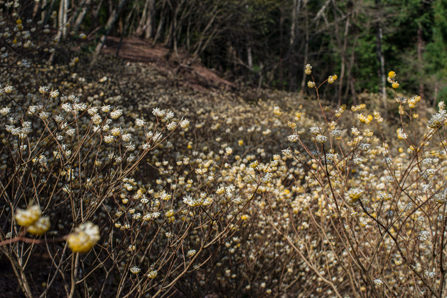
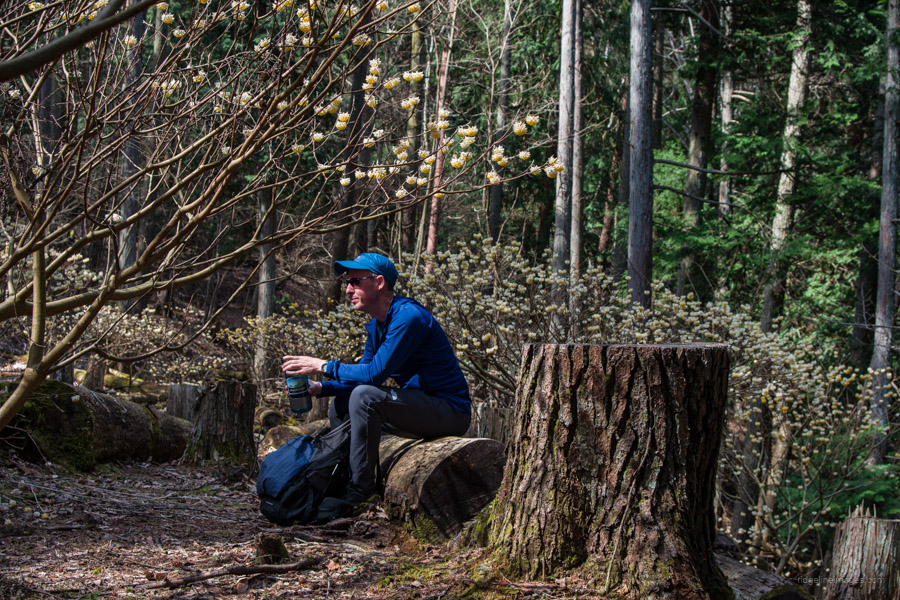
Next, after passing Mt. Tsuru Alps 都留アルプス山 (713 m) the highest point you’ll find a trail branching off on the left towards Mt. Ozaki 尾崎山, but just ignore it and continue to the right. Shortly after, you’ll come across a colony of Oriental Paper Bush (Mitsumata) ミツマタ, which blooms at the beginning of April. Being at its peak meant the scent emanating from the flowers was quite intense. At the next trail branch, the standard course concludes nearby some restrooms.
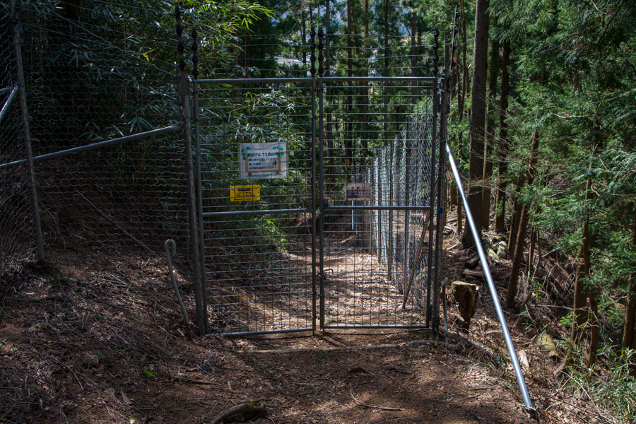
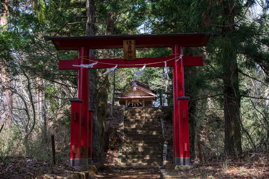
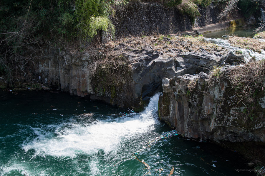
For those continuing onward, veer left, where the trail becomes slightly more challenging. After crossing a small stream, the trail ascends to another transmission tower. As you approach the foothills of the mountain, there is one final peak, Mt. Kojoyama 古城山 (583 m), and the Sumiyoshi-Jinja 住吉神社, marking the end of the traverse. Pass through the gate that keeps out unwanted wildlife. It takes approximately 20 minutes to walk back to Higashi-Katsura Station 東桂駅, with signposts along the way to guide you. The route also passes by the Onan Deep Pool おなん淵の滝, which is picturesque despite the unfortunate presence of floating plastic bottles at the bottom.


Hi David,
You are right about how the appellation “Alps” gets thrown around here. I was on some “Alps” in Gunma yesterday. The highest “peak” was 320 m.????
Thanks for the report.
Hi Pat,
It’s incredible, isn’t it? It feels like it’s become a bit of a marketing gimmick. However, I have to give credit to these trails. They’re probably the best-maintained and signposted in all of Yamanashi, outside of the Minami Alps!