.
Fudo-yu 不動湯 – Ozasu-toge 大榷首峠 – Mt. Takazasu 高座山
Distance: 14.4 km
Elevation change: 848 metres
Highest point: 1598 metres
Start: Shimoyoshida Station (Fujikyuko Line)
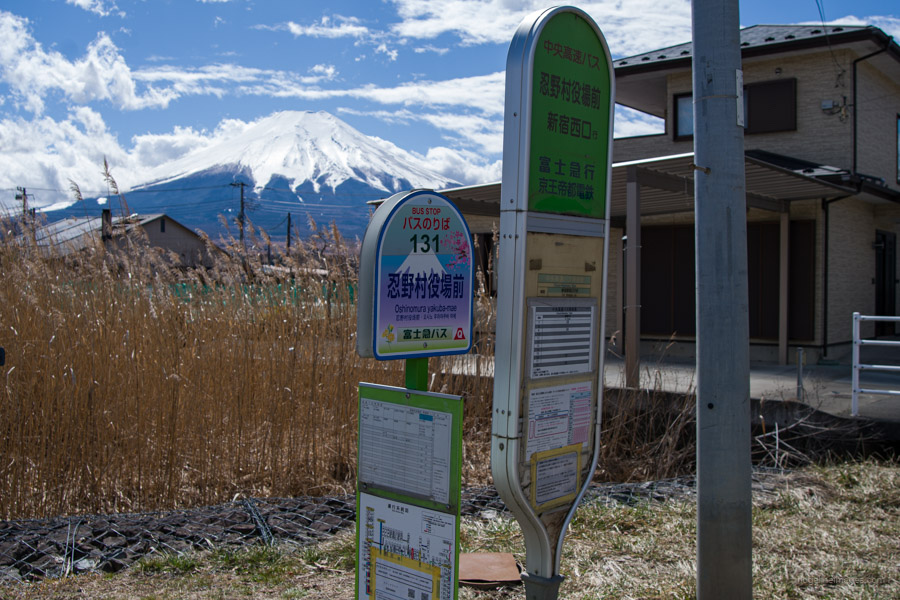
Finish: Oshinomura Yakuba-Mae bus stop
Difficulty: ▅▅▅▅▅▅▅▅▅▅ ❸
Map: Yama to Kogen Chizu 山と高原地図 [No.34 富士山 FUJI-SAN]
GPX TrackKML TrackGSI MAPPDF Topo Map
Hiking Mt. Shakushi: 360 Degrees of Beauty
Shakushiyama is one of Yamanashi’s top 100 mountains, situated north of Lake Yamanaka at the western end of the Doshi Mountains, nestled in the foothills of Mt. Fuji. From the summit, visitors can enjoy a 360-degree panoramic view of Mt. Fuji, as well as numerous other scenic spots along the trail. The mountain offers a variety of hiking courses, ranging from easy to moderately challenging, and it attracts hikers year-round. The Fudo-yu course, which is the shortest route to the summit, takes about 2 hours each way and is particularly recommended for beginners and family hikers. Due to limited public transportation access, the mountain receives fewer visitors, preserving its laid-back ambience. Japanwilds has also produced a topographic map for this hike.
The starting point is Shimoyoshida Station 下吉田駅 on the Fujikyuko Line. To get there, transfer to the Fujikyuko Line at Otsuki Station (27 minutes and 980 yen). If you wish to do the hike in reverse, take a bus (Fujiko F route) ふじっ湖号 bound for Yamanakako Hirano 山中湖平野方面行 from platform 3 at Mt. Fuji Station 富士山駅 and alight at Oshino Village Yakuba-mae 忍野村役場前. Unfortunately, the train and bus schedules at Mt. Fuji Station do not align well, so catching the first train means narrowly missing the first bus.
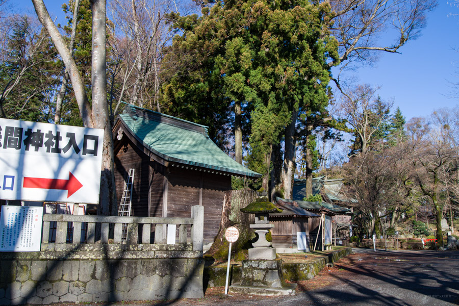
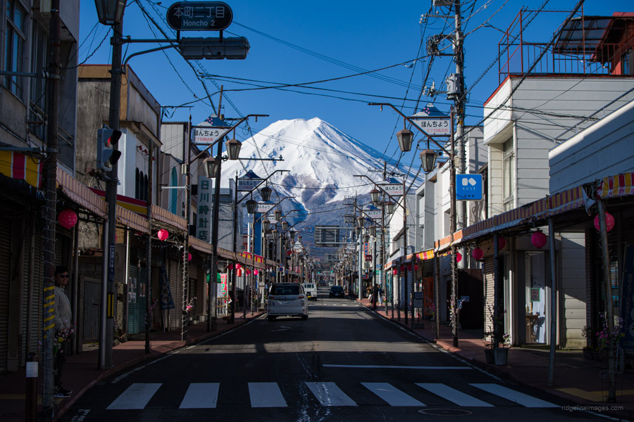
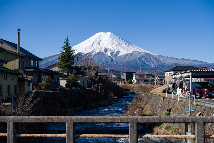
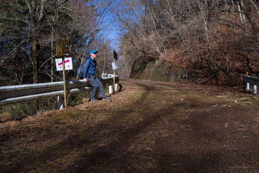
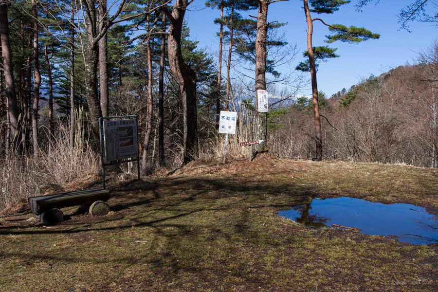
From Shimoyoshida Station, it’s a long but pleasant enough walk to Fudo-yu 不動湯. Head south first, passing by Omuro Sengen-jinja seated amid ancient cedar trees. This area is also popular with tourists who flock to Fujiyoshida Honcho Street, a nostalgic shopping district known for its stunning backdrop of Mt. Fuji dominating the horizon, as seen in many social media posts. A few minutes further down the road, near by a small river, there’s an even more breathtaking view of Fujisan. After this cross the Fujimi Bypass and Sagami River. Beyond this point, the road narrows, and after a brisk hour and a bit of walking, you’ll reach the Fudo-yu hot spring. If you’re doing the hike in reverse, you can enjoy a soak here for 1,000 yen.
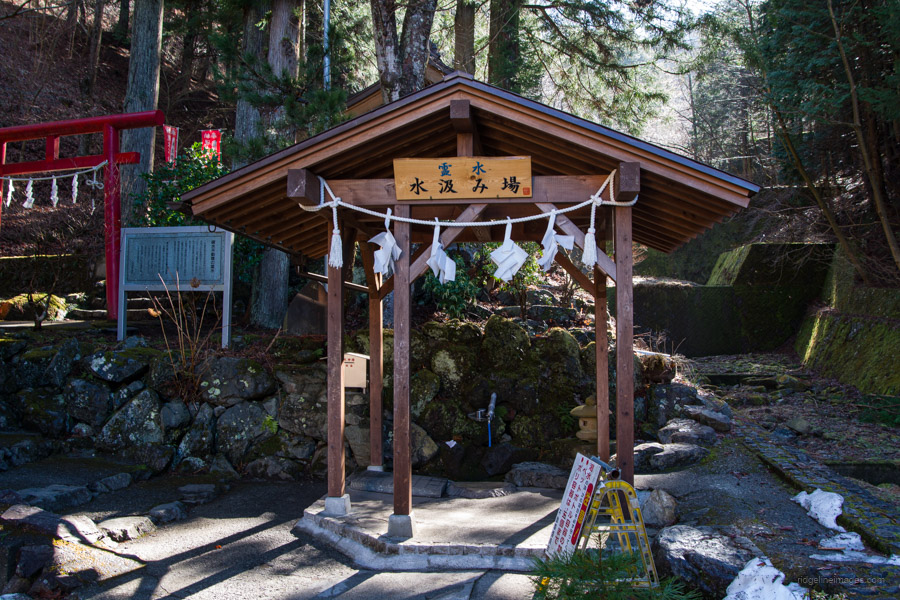
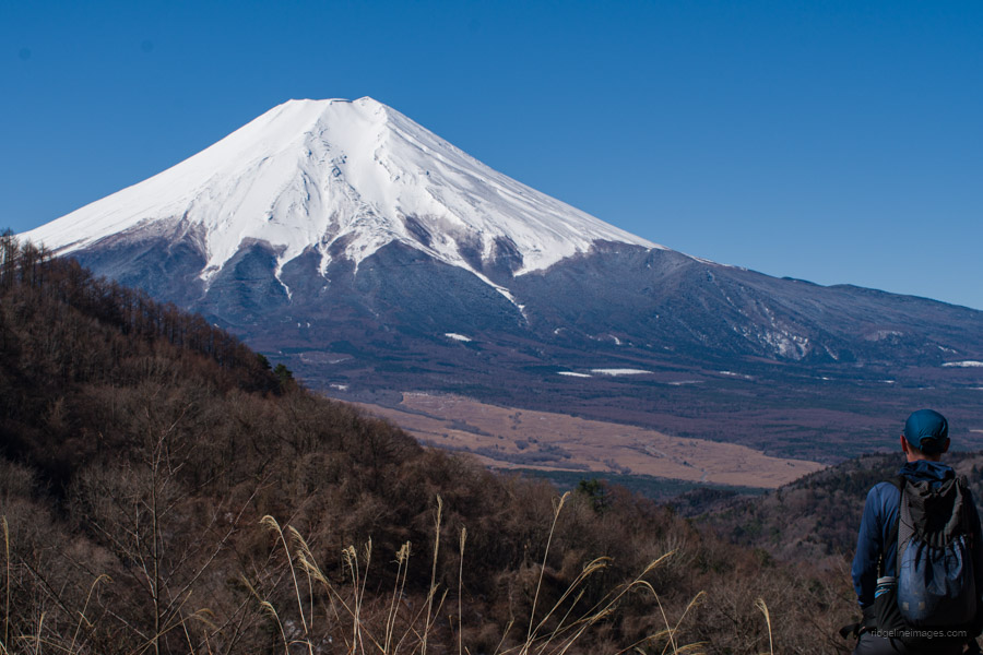
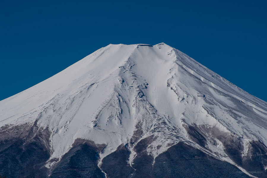
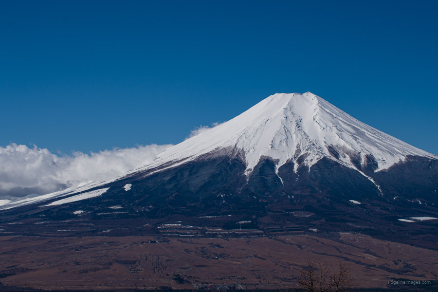
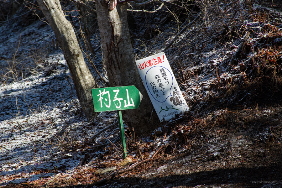
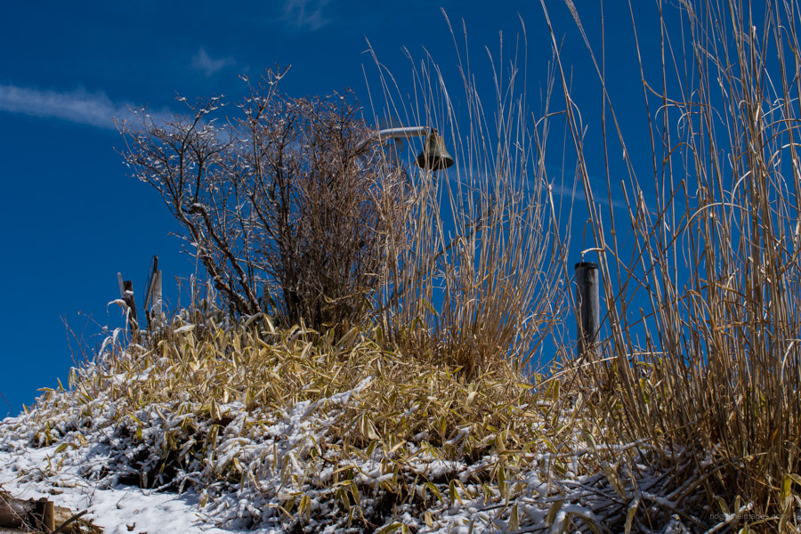
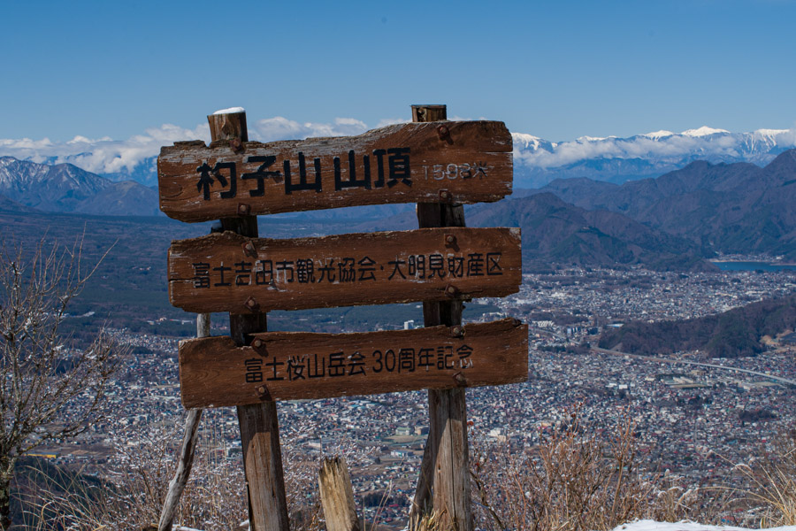
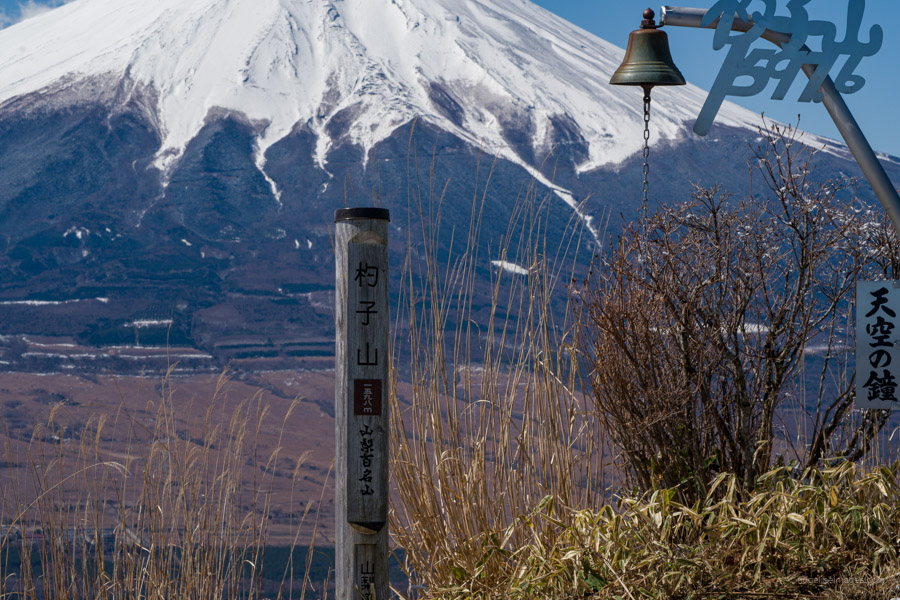
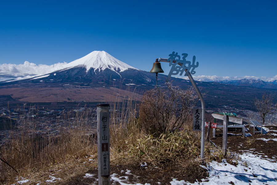
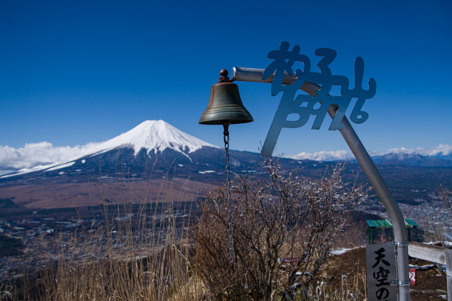
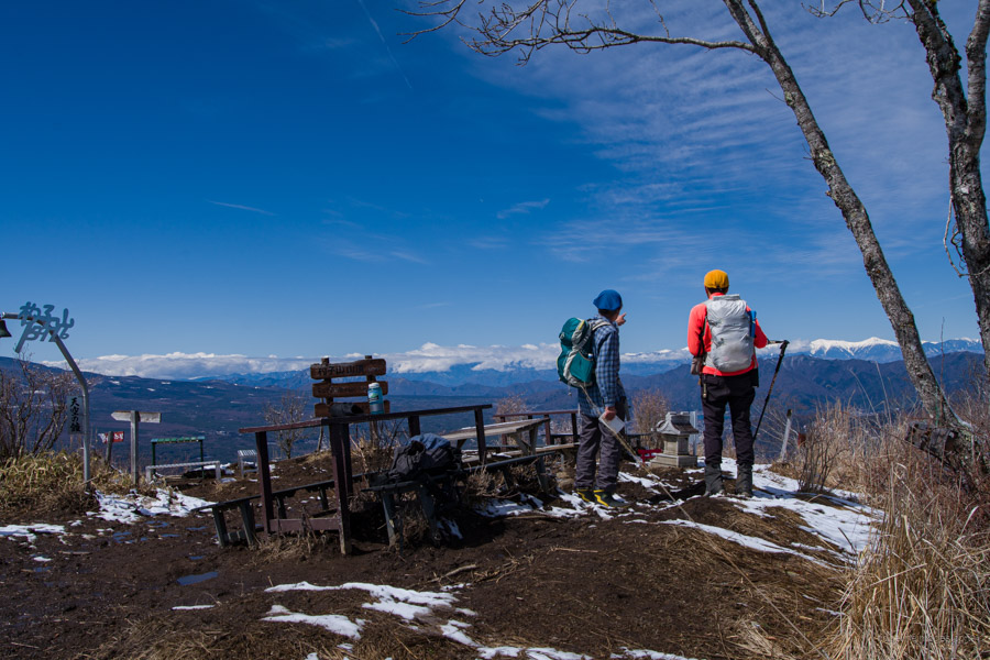
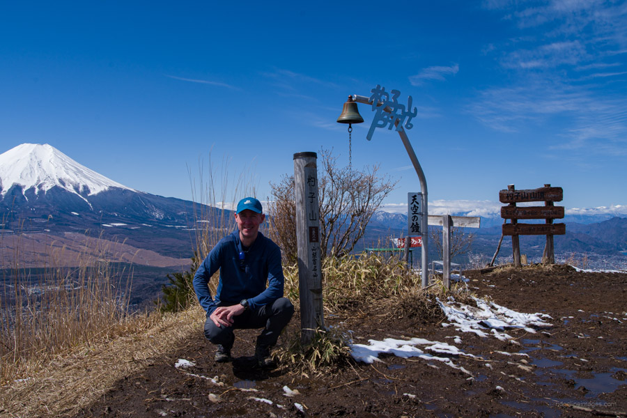
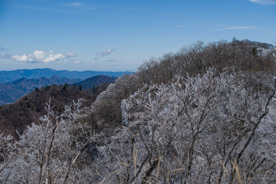
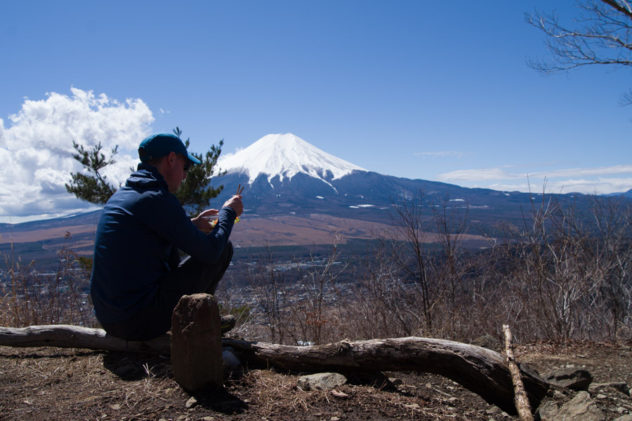
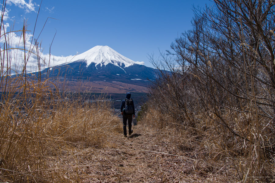
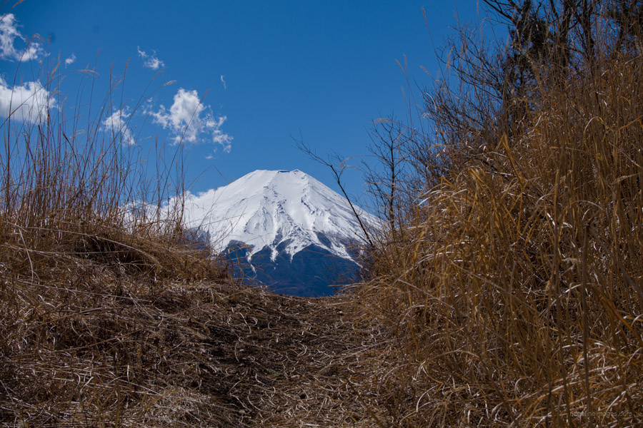
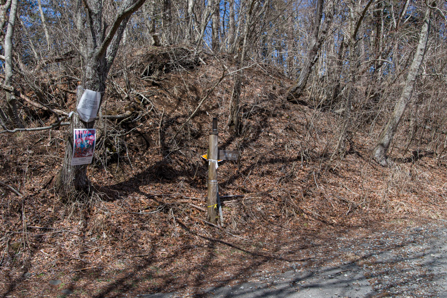
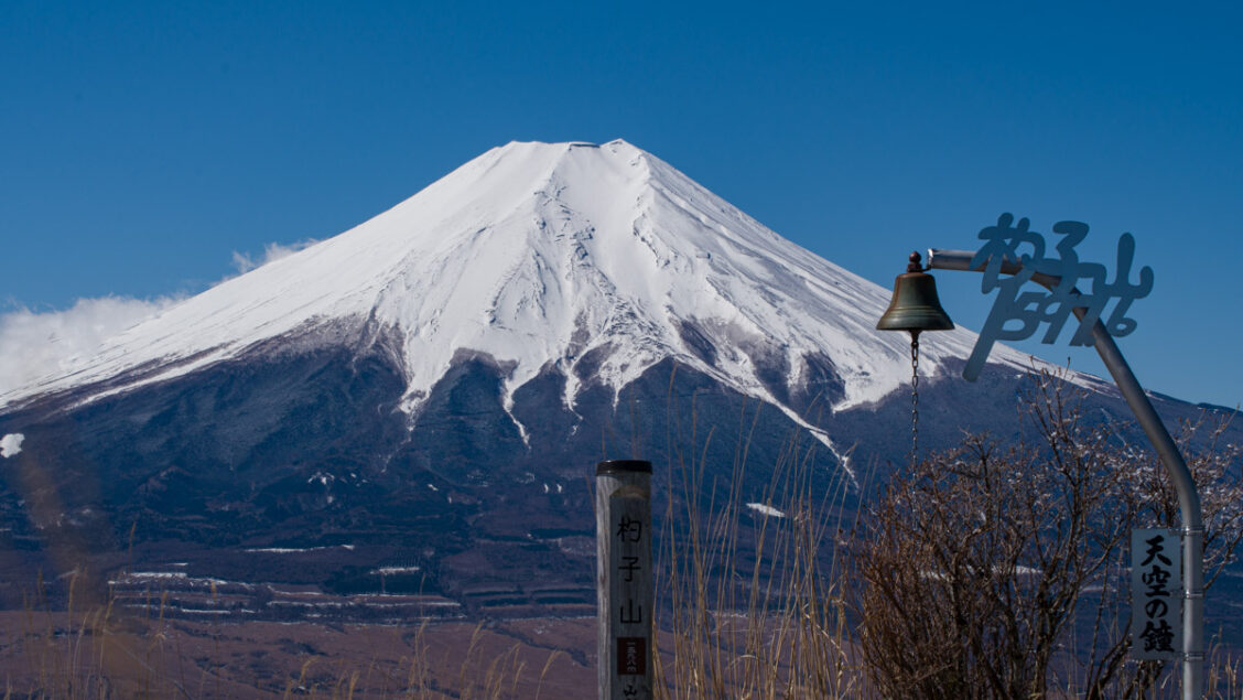
If the hot spring is open, you can take a shortcut through and refill your water bottle with delicious spring water. If it’s closed, follow the road behind the car park up to the trailhead proper. Continue following the gently graded road to Ozasu-toge 大榷首峠 (1,369 m). At various points, the view opens up with Fujisan looming in the background. From Ozasu-toge, the final steep push to the flat, sun-bathed summit takes about 30 minutes. I was fortunate to have Mt. Shakushi 杓子山 (1,598 m), along with its famous Heavenly Bell 天空の鐘, to myself for about 15 minutes before some other hikers arrived.
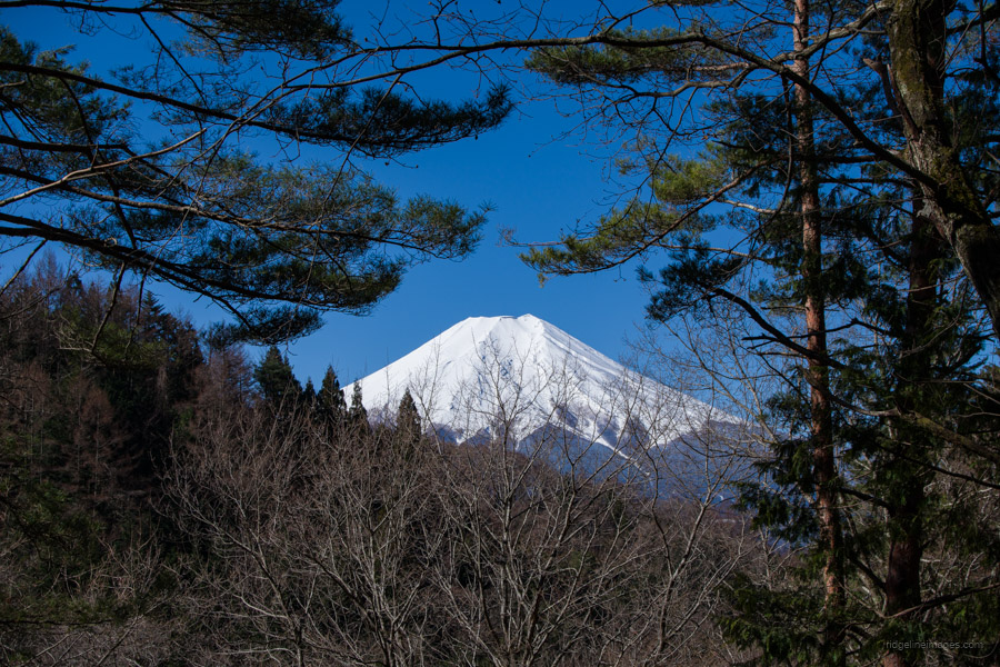
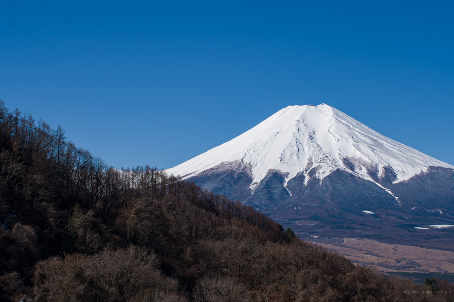
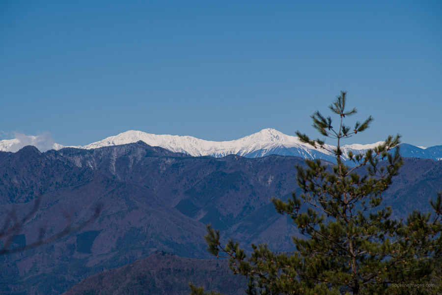
From the summit, you can enjoy a bird’s-eye view of Mt. Fuji, Mitsutoge, the Shirane Sanzan (Three White Summits), including Kita-dake, Aino-dake, and Notori-dake, as well as the Okuchichibu and Daibosatsu Mountains. In winter and early spring, when the air is clear, the contrast between the deep blue sky and the snow-capped Mt. Fuji is breathtaking. If the conditions are right, you can even see Sagami Bay beyond Lake Yamanaka below. After soaking in the spectacular view from the summit, make your way back down to return to Ozasu-toge.
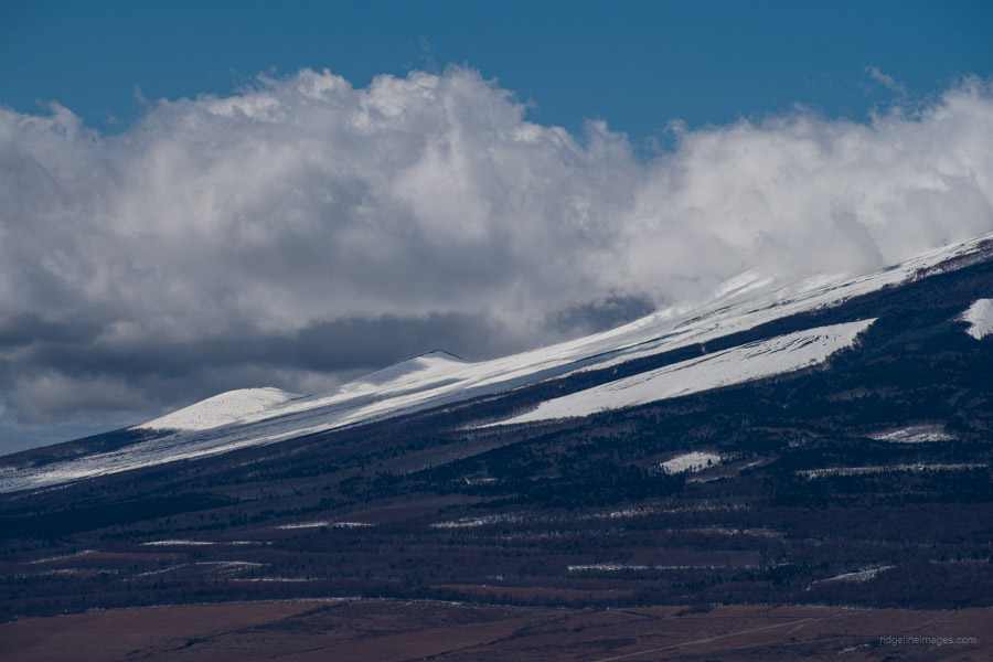
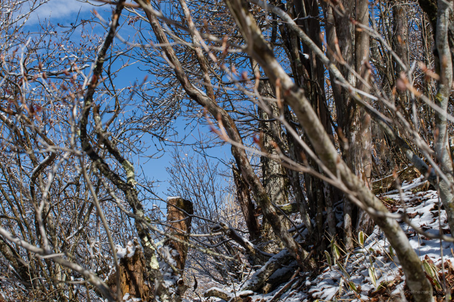
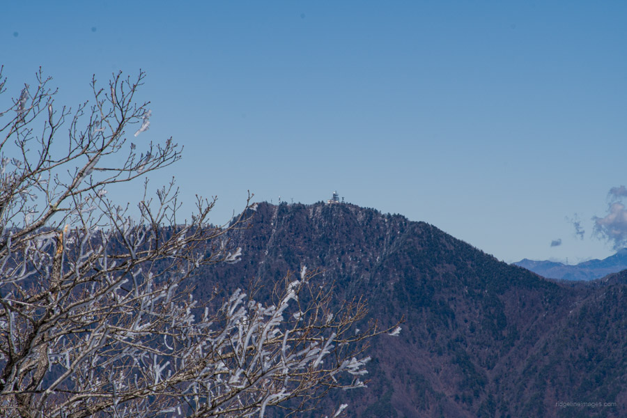
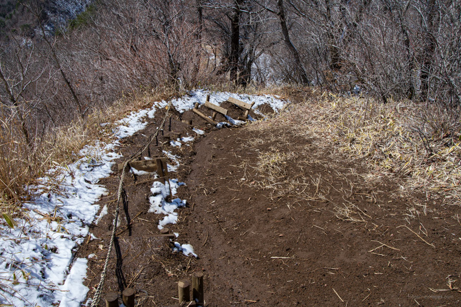
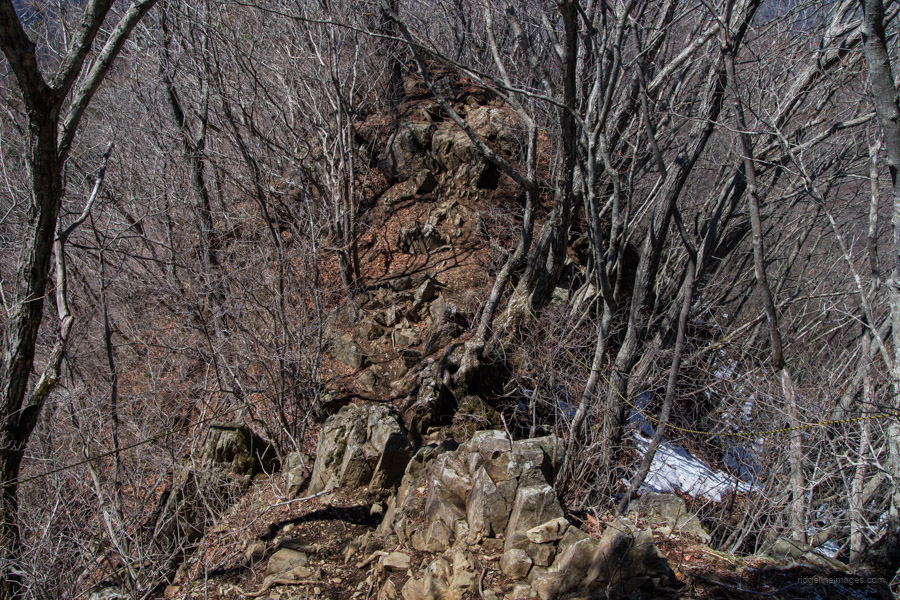
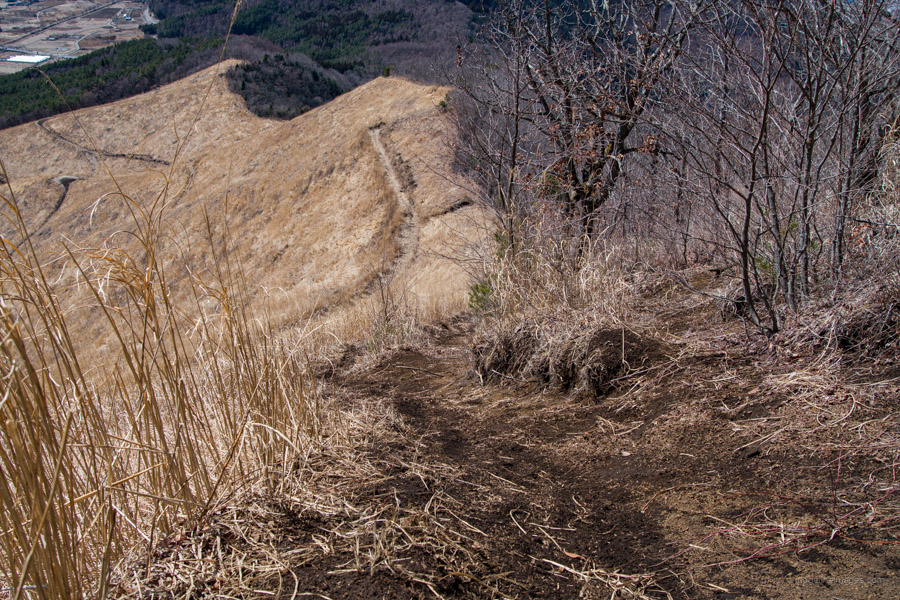
The trail to Mt. Takazasu 高座山 (1,304 m) traverses a rocky ridge that ascends and descends intermittently. Some sections require the use of ropes for balance. Before reaching the summit, which is a perfect spot for lunch, you pass beneath a transmission tower. Ahead lies an incredibly steep and slippery slope with loose dirt underfoot. In the past, fixed ropes were available; however, they have since disappeared, leaving hikers without extra support. At times, the steepness necessitated slinking down on all fours to avoid falling head over heels. In hindsight, tackling the hike in reverse and ascending the slope would have been a safer option.
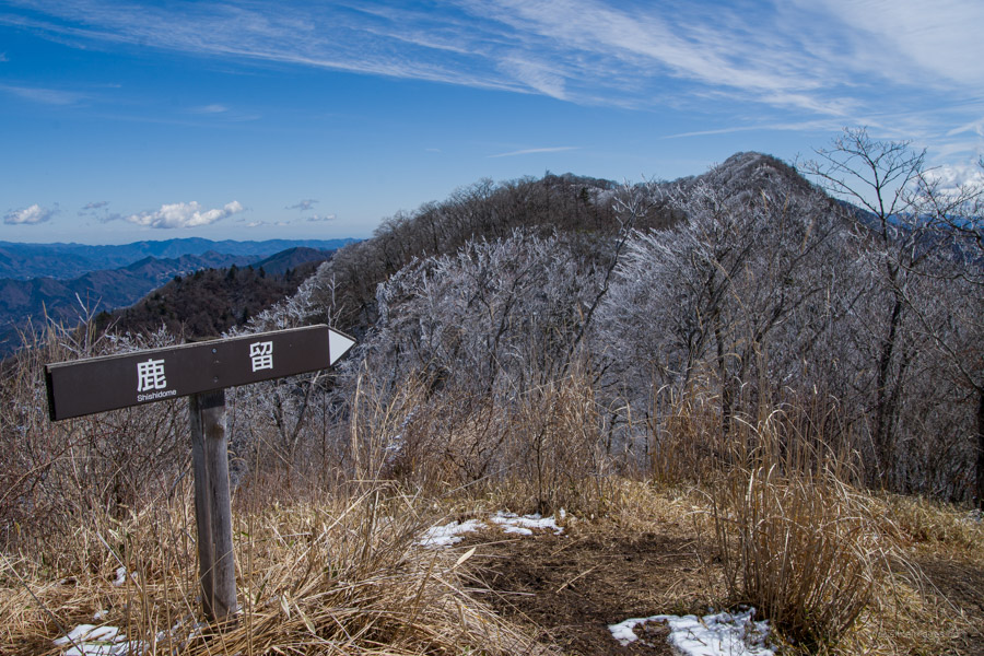
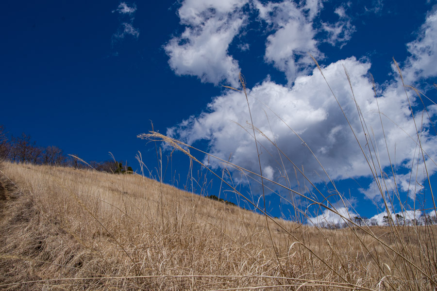
The grassy field area is known as Kayaba 茅場 or hayfield. The name Kayaba is often associated with areas that have been cleared to grow and harvest Japanese pampas grass, which is used as the raw material for thatched roofs. After reaching the forest belt, the trail arrives at Toriichi-toge 鳥居地峠, the trailhead on the opposite approach. From here, descend on the paved road, where it takes around 20 minutes to reach the Oshino Village Yakuba-mae bus stop. Hourly scheduled buses are available for the return trip to Mt. Fuji Station (30 minutes, 470 yen).