.
Mt. Tsunotogiyama 角研山 – Honjagamaru 本社ヶ丸 – Mt. Seihachiyama 清八山
Distance: 14.4 km
Elevation change: 1031 metres
Highest point: 1631 metres
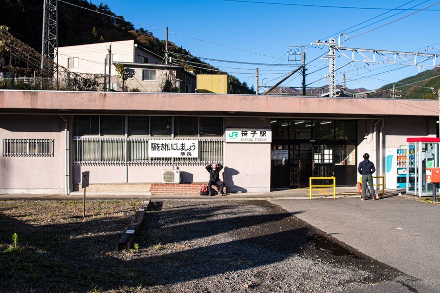
Start: Sasago Station (Chuo Main Line)
Finish: Sasago Station (Chuo Main Line)
Difficulty: ▅▅▅▅▅▅▅▅▅▅ ❹
Map: Yama to Kogen Chizu 山と高原地図 [No.29 高尾・陣馬 TAKAO·JINBA]
GPX TrackKML TrackGSI MAPPDF Topo Map
Top-notch Views from one of Yamanashi’s 100 Famous Mountains
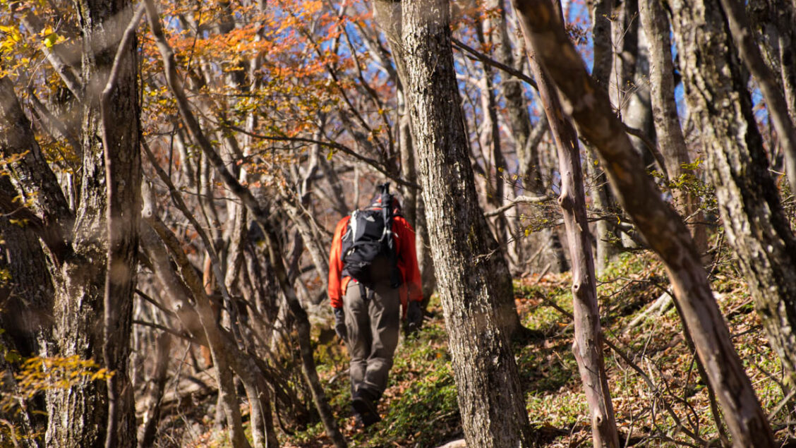
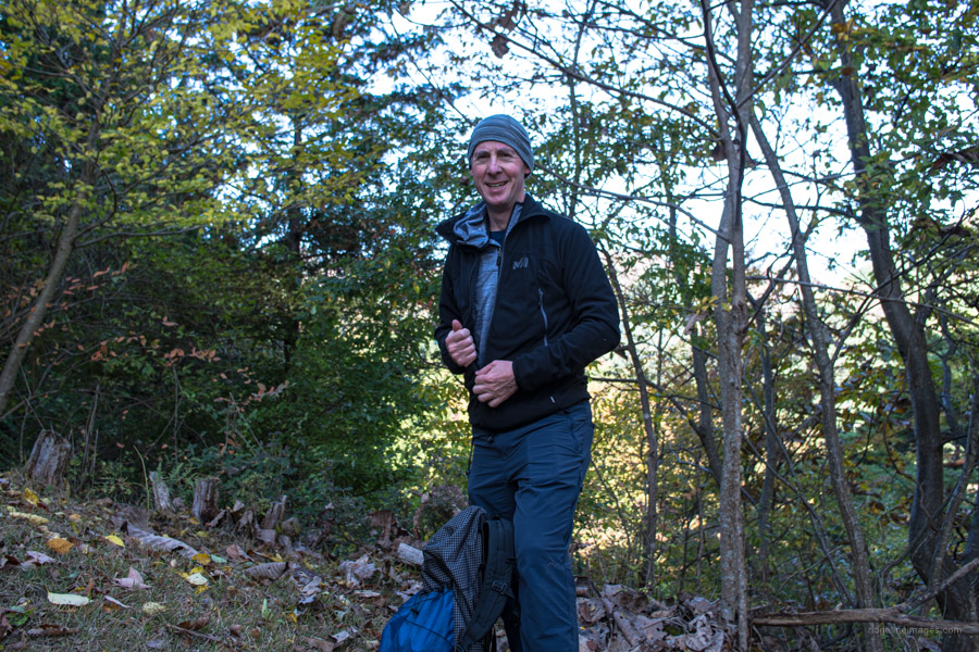
If you’re looking for one of the best spots to gaze upon Mt. Fuji near Tokyo then look no further than Honjagamaru the highest peak south of the Sasago River in Otsuki City, Yamanashi. Climbing up from the Chuo line the elevation change is over 1,000 metres however your efforts are rewarded with beautiful beech woodlands and fantabulous views from the upper mountain slopes. Props to Andy M one of this blog’s followers for suggesting this excellent albeit tough day hike.
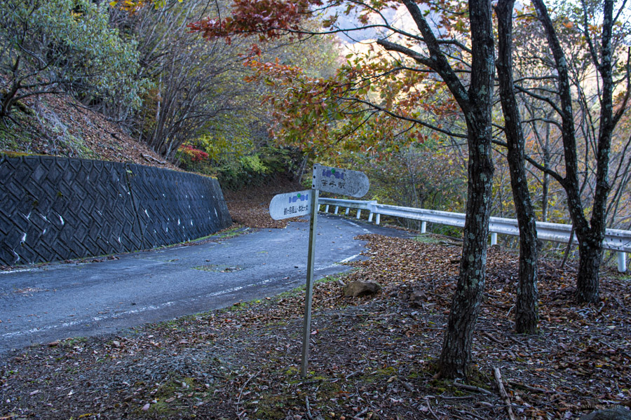
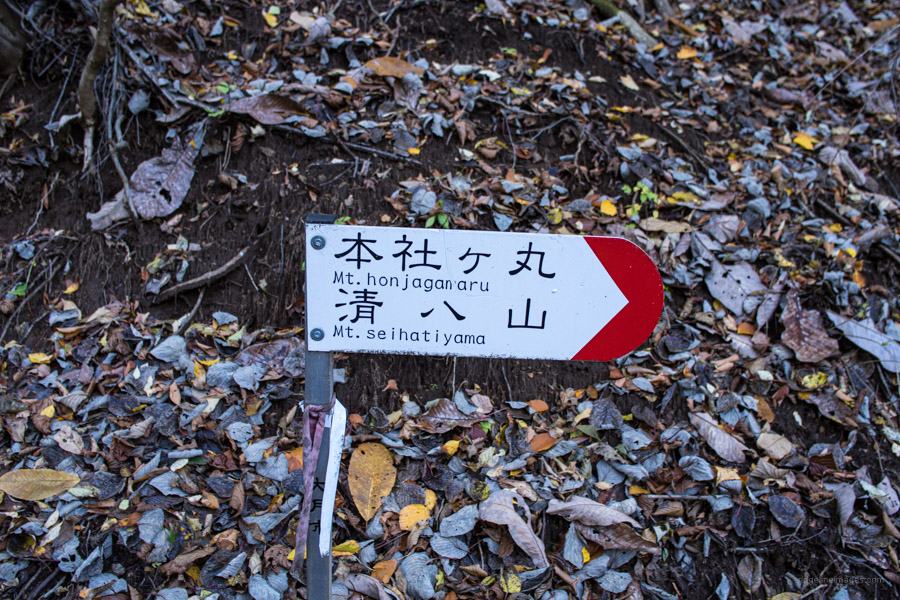
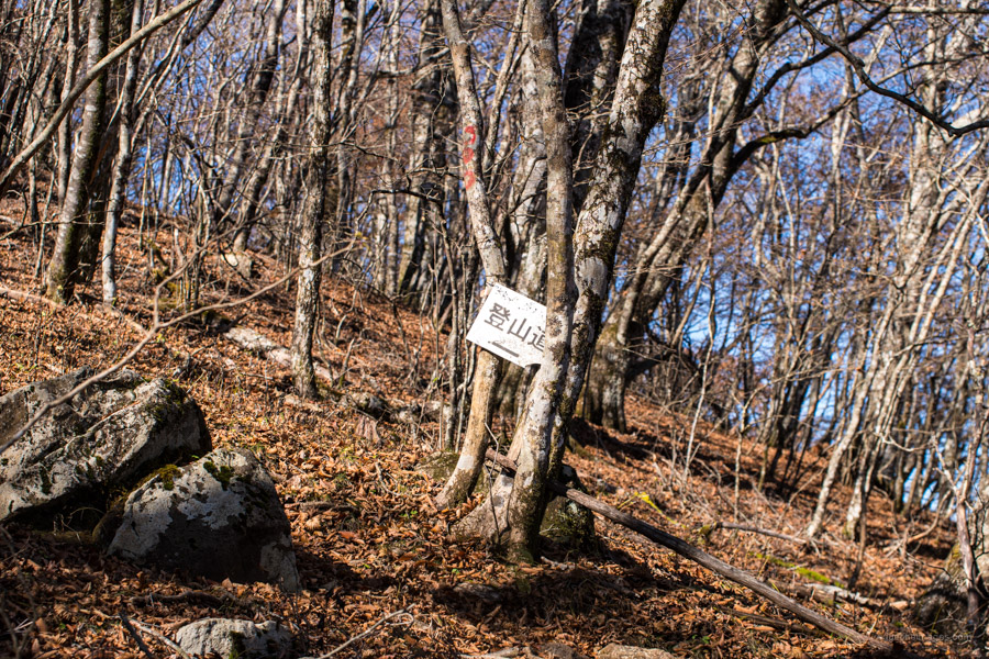
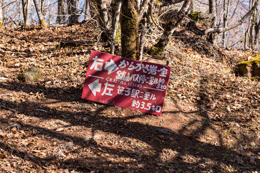
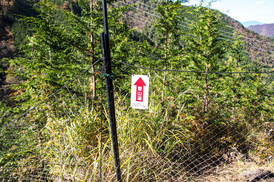
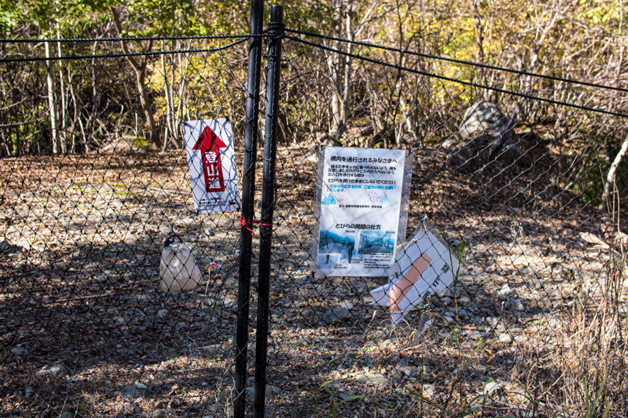
For Tokyo based hikers the trailhead has convenient access. From Shinjuku Station take a Chuo Line train bound for Takao transfer and get off at Sasago Station 笹子駅 (1 hr 40 mins, 1,980 yen). Leave the station by its only exit, turn right, and follow the small road which parallels the train line. After 10 minutes you should see a sign on your left for Honjagamaru 本社ヶ丸. The unmarked trailhead proper begins 50 metres further along this path on the right. Do not cross the small wooden footbridge as I did! To be perfectly frank it’s inexcusable the trailhead isn’t properly marked given it’s shown as a solid line on the Yama to Kogen map. And while I’m at it, the powers that be desperately need to upgrade Yamanashi Prefecture’s grimy and faded trail signage.
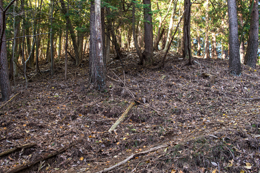
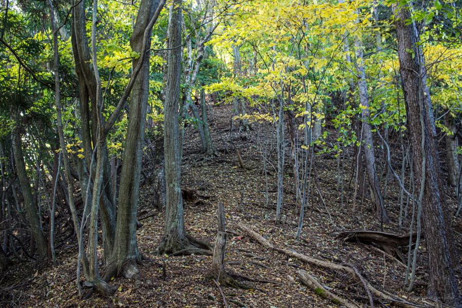
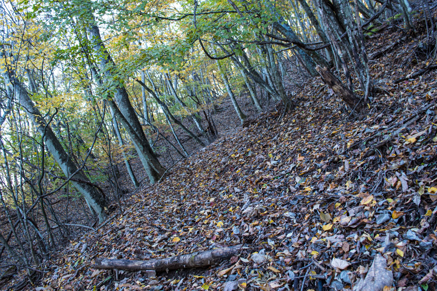
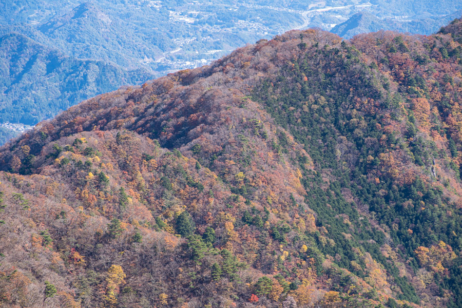
From the get-go the trail is steep and at times hard to get a grip though a series of switchbacks help deal with the gradient. As a word of warning, I would advise against doing the hike counterclockwise using this trail for the descent. The first landmark to look out for is a transmission tower a timely spot to remove a layer of clothing. At 1,000 metres finds Niwahorayama 庭洞山 indicated by a handwritten sign attached by wire to a tree. After a solid hour of climbing, you’ll pop out at a forestry road. The trail continues 30 metres to your left. The first section from the road is again quite severe. It should be noted that long swathes of trail are either faint or non-existent thanks to leaf litter and there isn’t much pink tape either. Just be mindful of sticking to the ridge and carry a GPS-capable smartphone or handheld Garmin device.
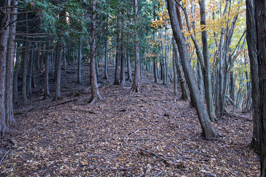
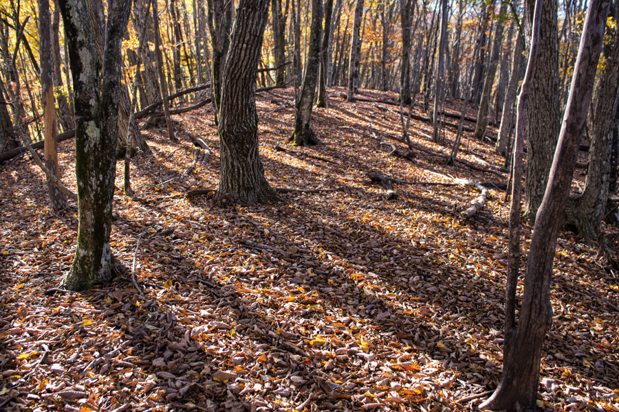
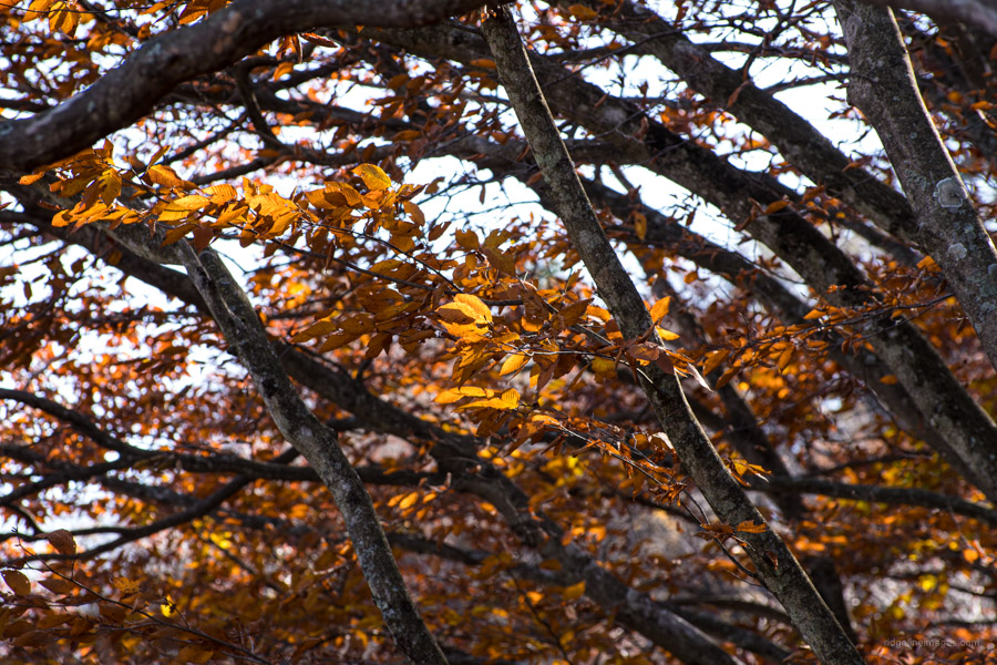
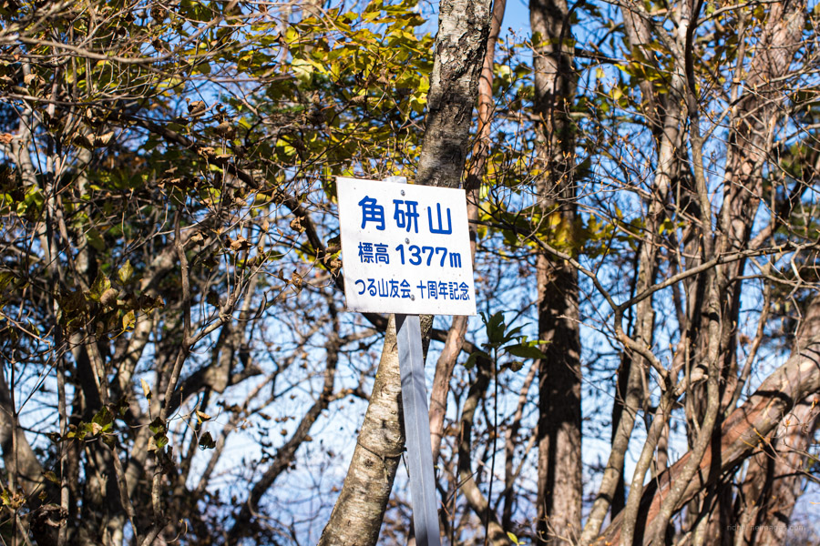
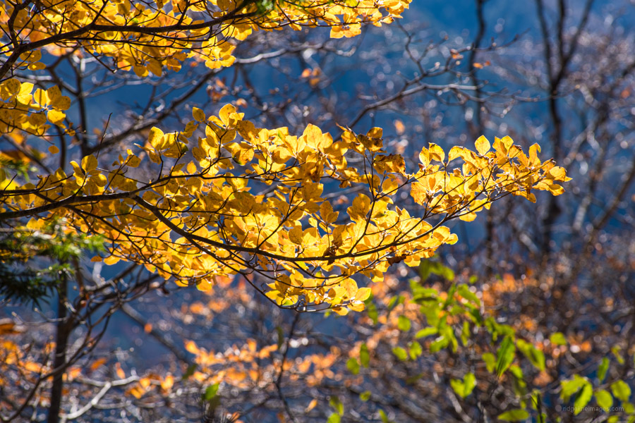
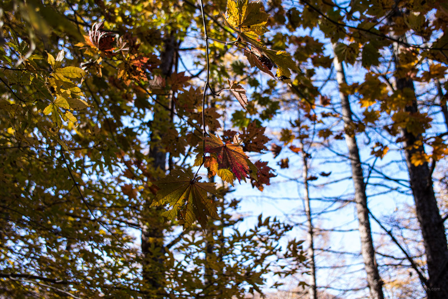
Just before arriving at Mt. Tsunotogiyama 角研山 (1,377 m) there are some rocks to climb over. Having just ascended 777 metres makes it an ideal spot to take a short rest. Continuing along the ridge finds the third transmission tower of the day along with a prodigious view of the snow-capped Southern Alps. The best autumn foliage was around the 1,000-metre mark and by early November trees above 1,500 metres were bare. A little further on there is a hand painted red and white sign indicating 3.5 km back to Sasago Station.
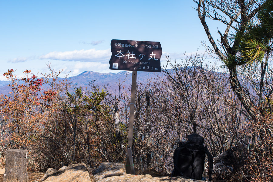
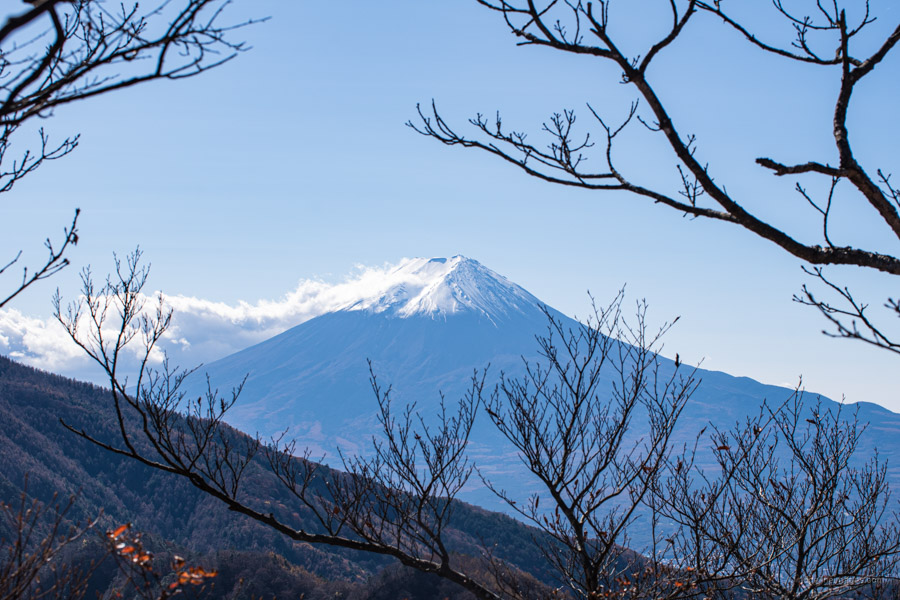
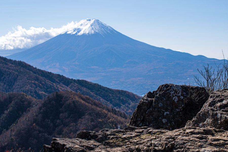
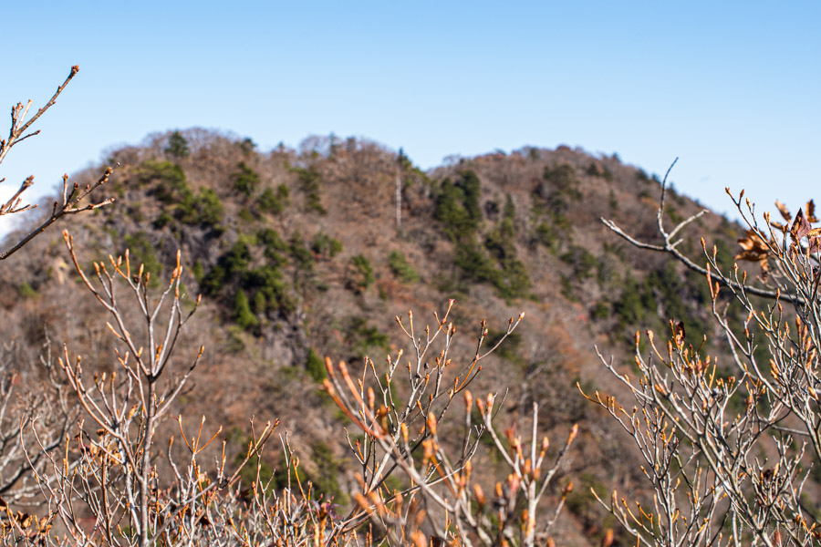
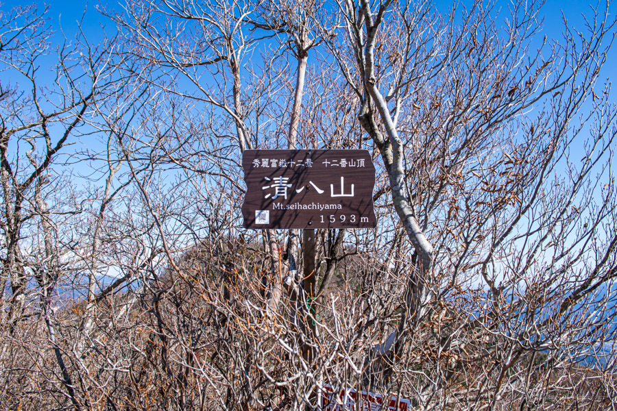
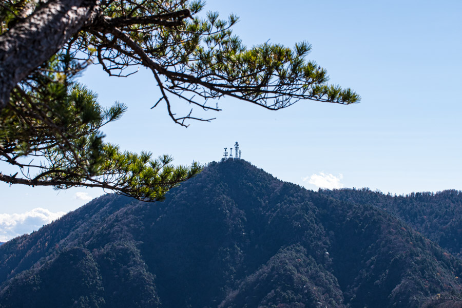
From Tsunotogiyama it takes around and hour to reach Honjagamaru 本社ヶ丸 (1,631 m) the highest point along the ridge. The panorama towards Mt. Fuji is downright impressive and without doubt makes the challenging climb up all the more worth it. The descent point begins on the opposite side of the pocket-sized summit. Just before reaching Mt. Seihachiyama 清八山 (1,593 m) there is some minor rock scrambling and take note of the trail branch which you will later return to before heading down. Again, revel in some fine views of the big fella along with antenna plastered Mt. Mitsutoge. The broader summit of Mt. Seihachiyama makes a better option for lunch.
After resting up return to the aforementioned trail branch and start heading downhill in the direction of Sasago 笹子方面へ. While the steepness is comparable to the way up the trail is in way better condition with little risk of losing your footing. After 20 minutes look out for some bench seats which marks the halfway point to the first deer gate. Between the two deer gates which you need to untie and retie the trail is a tad overgrown but easy enough to follow. Once you hit the paved road next to the Yamanashi transformer substation it’s a 5 km slog back to the station. Note one part of the trail is washed out necessitating a short rock hop across the river, also you’ll need to pass through the dimly lit Oiwake Tunnel.

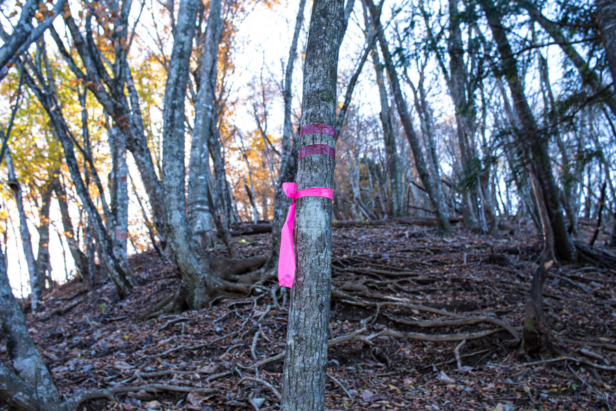


For other hikers interested : I did this anti-clockwise. From the station, I turned left and walked along the main road for about 1 km til I hit the route sign. From there, 1 hour’s road walk to the trailhead, where 8 hikers in 2 small groups sat by their cars — wise move. From the trailhead, the route is very well signposted, and impossible to get lost. Before the final push to Honjagamaru there is a short rock scramble with no rope or ladder; take extra care here. This spot is marked with a yellow hazard on the tourist map. Descending Honjagamaru, there is not one direction marker for the 7 km descent, only pink tape. There are several forks on the way down and you just don’t know which one is correct without GPS, as the tourist map is not detailed enough. But I would say this hike is worth it overall for the amazing ridge views, especially in late autumn. I would classify this hike as intermediate.
Forgot to mention : I’m curious about another day loop hike from Sasago Station to
Mt. SasagoGangaHarasuri (1357 m). Why? Except the great name ( means : Sasago, where the wild geese collide), its summit view of Mt.Fuji was chosen for the back of the old 500 yen banknote. Can’t find much useful English info, but enough in Japanese to fashion a route.Will let you know if any good (but should be at this time of year, foliage, winter light etc.) Also, no need to reference me for any tips — you’ve done it once that shows you’re decent. I’ve got a bunch of useful info from your site over the years.
Today, back from a walk on the Kasumi Kuryo Hills course from Shiofune Kannon (5 mins by bus from Kabe Station, Ome Line) to Bushi Station (Seibu Ikebukuro Line). Private mail me if you like on any of these easy ones.
Interesting and given I’ve previously photographed Sasagogangaharasuri-yama along with Mt. Mitsutoge (those antennas are a dead give-away) from Mt. Gangaharasuri where the engraving of the 500 yen note was taken, it seems only fitting to also hike it someday.
A quickie : there are 2 Mt. Gangaharasuri. Sasagogangaharasuri is the bankbote one , near the train tracks equidistant from Sasago and Kai Yamato stations. The other Mt Gangaharasuri is 15 km north west of Otsuki Station, and east of Enzan Station; really in the wilderness. Hope this helps with any internet research people may do.
David,
well written piece as always. I was hiking in the area recently as well and can also recommend it. Just one comment, I believe the reading for 角研山 should be Tsunotogiyama (つのとぎやま)(https://www.yamareco.com/modules/yamainfo/ptinfo.php?ptid=4443).
Also, in response to the other comment:
There are actually at least 3 mountains with Gangaharasuri-yama included in the name in that region:
– Gangaharasuri-yama (雁ヶ腹摺山), this is the one with the Fuji view that was printed on the 500yen note)
– Sasagogangaharasuri-yama (笹子雁ヶ腹摺山), near Sasago-eki
– Ushiokunogangaharasuri-yama (牛奥ノ雁ヶ腹摺山), which is further up north closer to the Daibosatsu-rei area
All three have a Fuji view.
Ben, I stand corrected and have updated accordingly so thanks for that and also for clarifying those befuddling mountain names!
Did this hike on Jan 21st 2023, and it seemed like the signage might have been improved! At the very least there was a post by the initial intersection by the trailhead (avoiding the footbridge confusion), fairly consistent pink ribbons, and the signage itself was mostly clean and fairly new-looking for some (though one by the second transmission tower had completely faded away).
At this time of year, the hike up from the valley was pretty cold, with a really chill wind blowing for the whole ascent, but once we hit Tsunotogiyama the wind died down and the sun warmed us right up! Also, a little bit of snow had settled on the initial shaded part of the path down from Seihachitouge, making for a beautiful but slower descent.
The Fuji views were truly stunning, thank you for pointing us towards this hike!
Thanks for the information about the improved trail signage. Hopefully this is a sign (pardon the pun) of good things to come. Seihachitouge certainly affords some striking views of Fujisan, and I am pleased to hear you were able to partake in the spectacle.
Thank you for the update regarding improved signs! Will do this hike in early November