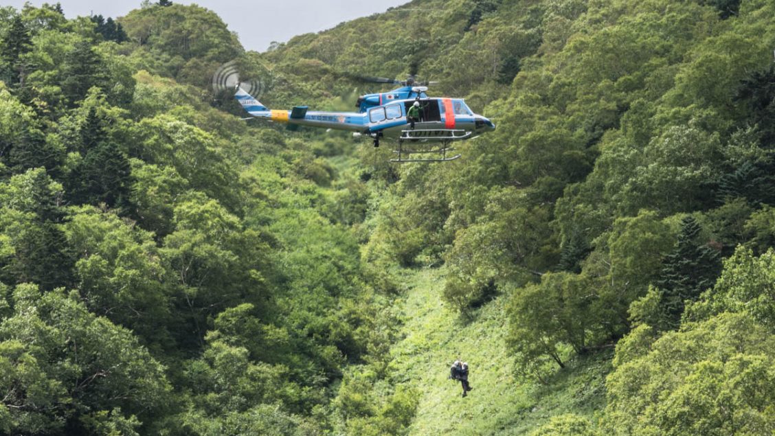
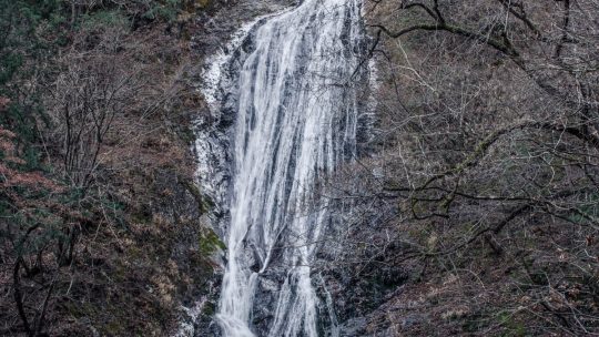
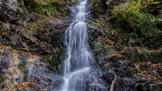
Shikinejima Coastal Hike

Hiked on Mar 16, 2018 . Tojinzushiro 唐人津城 – Kanbiki Lookout 神引展望台   Duration: 3 hours   Distance: 6.4 km   Elevation change: 96 metres   Highest point: 109 metres   Start: Kamanoshita Campground   Finish: Oura Beach   Difficulty:   ▅▅▅▅▅▅▅▅▅▅  ❶  ...

Superlative Tokyo: The Biggest and Best of them

Tokyo a City of Extremes With near on 14 million people living in the Tokyo Metropolis it goes without saying there isn’t much in the way of personal space. The corollary to this craziness is excellent food, shopping, nightlife and entertainment...

Hamura-Yamaguchi Abandoned Light Railway

Cycling from the Shin Ome-kaido to Sayama Lake Recently while cycling around the Tama and Sayama Lakes in western Tokyo, I came across a tunnel network which appeared to be from an abandoned railway. It struck me as a little odd that they would...

5 Sites in Tokyo to Explore WWII Ruins

Remnants from the Second World War in Tokyo Preserved ruins from the Second World War in Japan are few with the notable exceptions being the Hiroshima A-bomb Dome Genbaku Domu, the Nagasaki Urakami Cathedral wall remnant and the one-legged torii of...

Waterfall Wonders: Marugami Falls

Tracking Down Saitama’s Tallest Waterfall Saitama Prefecture like neighbouring Tokyo has only one waterfall chosen as one of the 100 Japanese waterfalls of Japan way back in 1990. Whilst it’s not the easiest location to reach by public transport...

Niegawajuku: Saitama’s Scarecrow Village

A Village where Scarecrows Outnumber People Following in the footsteps of Nagoro in Shikoku, the tiny village of Niegawajuku in Chichibu, Saitama is seeking to revitalize itself with lifelike scarecrows (or kakashi). Niegawajuku like much of rural...

Godan Waterfall: Okutama’s Hidden Gem

Exploring the Backwoods of Okutama One of the places I love frequenting in Okutama, Tokyo is the rather obscure Kurasawa Valley a lazy 20-minute bus ride from Okutama Station. Flanked on either side by precipitous cliff faces it was once home to the...

Tokyo’s Forgotten Tourist Caves

Caving in Tokyo: Then and Now There was a time not so long ago when visiting a tourist cave was a popular way to spend a lazy weekend. Rewind to the early 1980s and there were seven such caves operating in Tokyo now sadly more than half of them have...

In Search of Tokyo’s Highest Bridge

The Kurasawa Bridge (Kurasawabashi) One could be forgiven for thinking the Tokyo Gate Bridge is the highest bridge in Tokyo and while its truss sections rise some 88 metres, the bridge’s “clearance” when measured from the deck of the road comes in...

Lake Ozenuma in Late Autumn

Dodge the Crowds and Enjoy Superb Fall Scenery The Oze Marshlands are without a doubt one of the most beautiful tracts of unspoilt nature in the Kanto region. Last year I hiked across the Ozegahara Marsh to Oshimizu and this year I decided to start...

Mt. Karasawa 涸沢岳

Hiked on Oct 1, 2017    Sep 29, 2025 . Kamikochi 上高地 – Karasawa 涸沢 – Mt. Karasawa 涸沢岳   Duration: 4 days   Distance: 36.7 km   Elevation change: 1598 metres   Highest point: 3103 metres   Start: Kamikochi Bus Stop   Finish: Kamikochi Bus Stop  ...

Vintage Postcards of Kamikochi from the 1950s

Kamikochi Showa Era Photochromes By any measure Kamikochi in the Hida Mountains of Nagano Prefecture is one of the best natural spots in Japan. But surprisingly this wasn’t always the case. Up until the mid-19th Century Kamikochi underwent extensive...

Karasawa: A Tent City at 2,300 metres (7,500 ft.)

Beer, Boots and a Thousand Tents The Karasawa Cirque is surrounded by the towering peaks of Mt. Oku-Hotakadake and Mt. Kita-Hotaka in the Northern Japanese Alps. The glacial-eroded cirque has diameter of 2 kilometres, sits at an altitude of 2,300...

3-Day, 3-Season Backpacking Gear

My Backpacking Gear Deciding what gear to pack for a hike is a careful balancing act between saving weight and potentially putting your health and wellbeing in harm’s way. As someone who readily admits to bringing along too much stuff, I have in...

Kita-dake 北岳

Hiked on Aug 27, 2017    Aug 10, 2022 . Hirogawara 広河原 – Shirane-oike 白根御池 – Kita-dake 北岳   Duration: 3 days   Distance: 11.8 km   Elevation change: 1673 metres   Highest point: 3193 metres   Start: Hirogawara Bus Stop   Finish: Hirogawara Bus Stop...

Archives

Subscribe

Get the latest posts straight to your inbox. No spam, ever. Unsubscribe at any time.