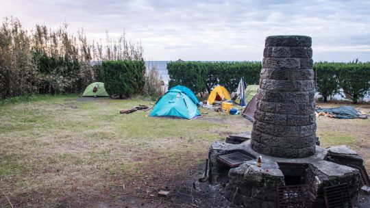
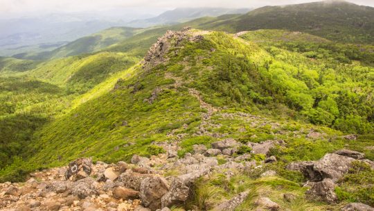
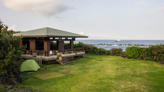
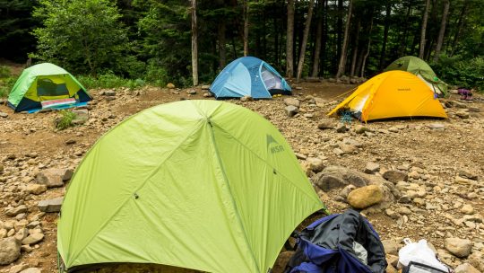
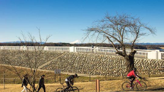
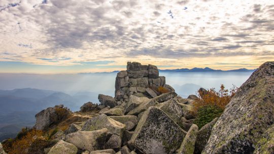
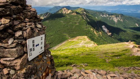
Tag: camping

Kita-dake 北岳

Hiked on Aug 27, 2017    Aug 10, 2022 . Hirogawara 広河原 – Shirane-oike 白根御池 – Kita-dake 北岳   Duration: 3 days   Distance: 11.8 km   Elevation change: 1673 metres   Highest point: 3193 metres   Start:...

Mt. Tateshina 蓼科山

Hiked on Aug 3, 2017    Jul 18, 2022 . Mt. Tateshina 蓼科山 – Ogawaratoge Pass 大河原峠 – Mugikusa Pass 麦草峠   Duration: 3 days   Distance: 16.2 km   Elevation change: 886 metres   Highest point: 2530 metres  ...

Kozushima: Tako Bay Campground

Discover one of Tokyo’s Hidden Gems Last year I had the good fortune of staying at the Sokodo campground on Hachijojima Island. For a free campground, the facilities were second to none and even provided hot water showers. This time I have travelled...

Hiking in Japan: Why Insurance Matters

Japan Rescue Organization Hiking Accident Statistics One of the hazards of outdoor recreation such as hiking, camping, mountain biking or skiing is that it entails an element of risk. For solo adventurers such as myself, the level of risk is even...

Hiking in Japan: Sourcing Water from the Trail

Would you Drink the Water from this Lake? I did and suffered no ill effects. Anyway, before we get into that let’s rewind a little. Recently, I received an email from someone asking whether it’s safe to drink water from the mountains around Tokyo...

Mt. Kitayokodake 北横岳

Hiked on Aug 23, 2016    Aug 1, 2019 . Futagoike 双子池 – Mt. Kitayokodake 北横岳   Duration: 3 days   Distance: 20.1 km   Elevation change: 242 metres   Highest point: 2472 metres   Start: Kitayatsugatake Ropeway...

Takamiiwa Rock 鷹見岩

Hiked on Jul 19, 2016 . Dainichi-goya 大日小屋 – Takamiiwa Rock 鷹見岩   Duration: 2 days   Distance: 7.3 km   Elevation change: 572 metres   Highest point: 2092 metres   Start: Mizugaki-sansou   Finish: Mizugaki-sansou...

How to Plan an Overnight Hike in Japan

Tips for Planning a Successful Backcountry Adventure Planning hiking trips back in Australia was generally a pretty straightforward affair; find some willing accomplices, get a hold of a topo map, pack your gear and start driving. All of this could...

Mt. Tengu 天狗岳

Hiked on Jul 6, 2016    Aug 24, 2023 . Honzawa Onsen 本澤温泉 – Mt. Tengu 天狗岳 – Shibunoyu 渋の湯   Duration: 3 days   Distance: 15.8 km   Elevation change: 1140 metres   Highest point: 2640 metres   Start:...

Hachijo-jima: the Hawaii of Japan

A Subtropical Oasis Within the Tokyo Metropolis Doraemon and his sidekick Betty Boop cut to the chase in this eloquent mural cherishing Hachijo-jima and I can only concur. The island’s subtropical climate, 287 kilometres (178 miles) south of Tokyo...

What to Expect when Camping in Japan

Why Campgrounds in Japan Get It Right Accommodation costs in Japan are for the most part fairly pricey, luckily there are some budget alternatives on hand such as camping if you’re prepared to bring your own gear. In fact, there are over 3,000...

20 Places to Pitch a Tent Around Tokyo

Some Great Places to Camp Around Tokyo Whilst holiday-makers in Japan largely gravitate towards traditional Japanese ryokan and large-scale hotels, gaining popularity in recent years has been car camping or in common Japanese parlance auto camp...

The Outdoor Guide to Tokyo

Exploring the Outdoors Around Tokyo The scale and diversity of Tokyo makes it hard to condense into a short travel write-up, especially the outdoor scene which caters for all and sundry. Having said that, what follows is a brief rundown of some...

25 Things I’ve Learned Hiking in Japan

Musings from 10 Years Hiking in Japan Whether setting out on your first hike or already an accomplished mountaineer there are definitely some quirks unique to hiking in the Japanese mountains. This was especially so coming from an Australian hiking...

The Yatsugatake Mountains

Splendid Backdrop Scaling Yatsugatake Mountains Last summer near perfect conditions provided an excellent opportunity to take a three day hike over the Yatsugatake Mountains. These volcanic mountains are situated on the border between Nagano and...

Mt. Hiryusan 飛竜山

Hiked on May 2, 2015    May 18, 2021 . Shougen Toge 将監峠 – Mt. Hiryusan 飛竜山 – Sanjounoyu 三条の湯   Duration: 3 days   Distance: 34.5 km   Elevation change: 1489 metres   Highest point: 2069 metres   Start: Ochiai Bus...

Archives

Subscribe

Get the latest posts straight to your inbox. No spam, ever. Unsubscribe at any time.