.
Wado Ruins 和銅遺跡 – Minoyama Park 美の山公園
Distance: 6.3 km
Elevation change: 412 metres
Highest point: 582 metres
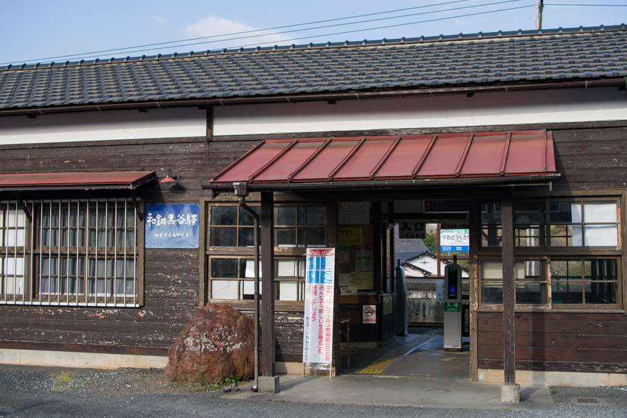
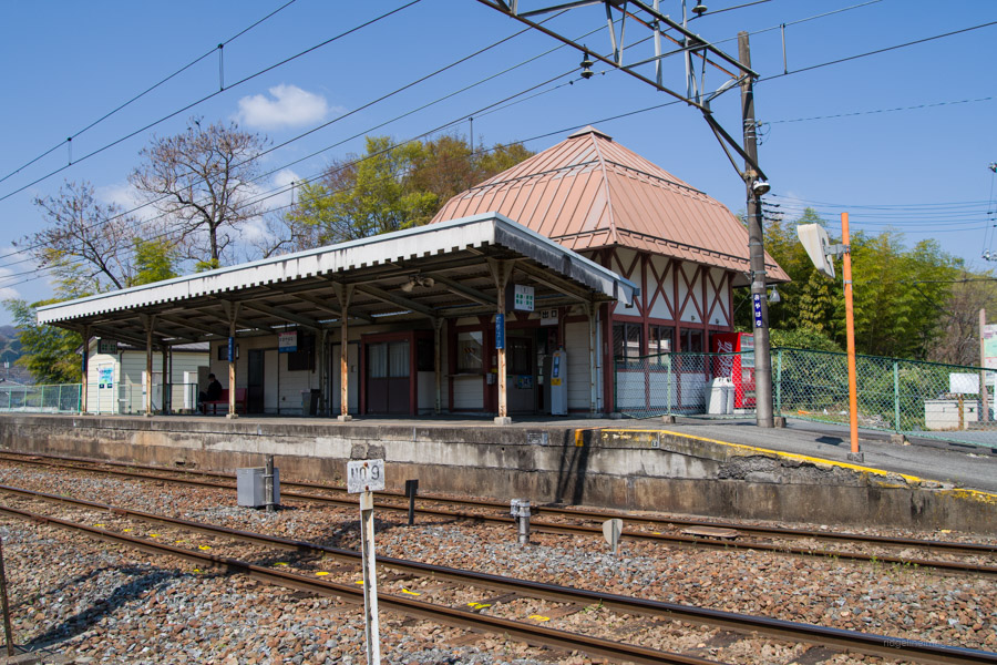
Start: Wado-Kuroya Station (Chichibu Main Line)
Finish: Oyahana Station (Chichibu Main Line)
Difficulty: ▅▅▅▅▅▅▅▅▅▅ ❶
Map: Yama to Kogen Chizu 山と高原地図 [No.23 奥武蔵・秩父 OKUMUSASHI·CHICHIBU]
GPX TrackKML TrackGSI MAPPDF Topo Map
Easy Hiking and Abundant Nature at Minoyama Park
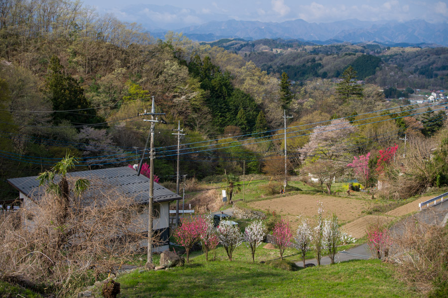
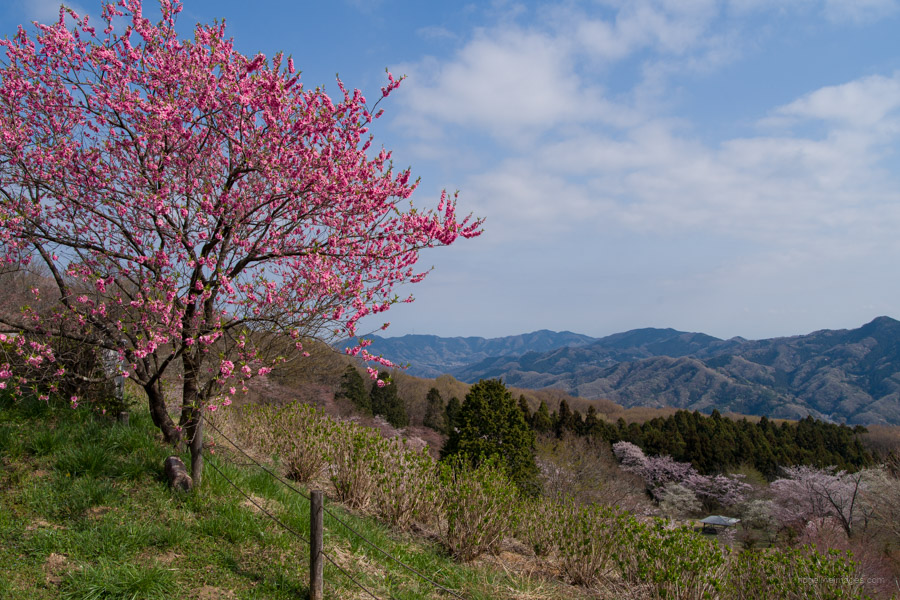
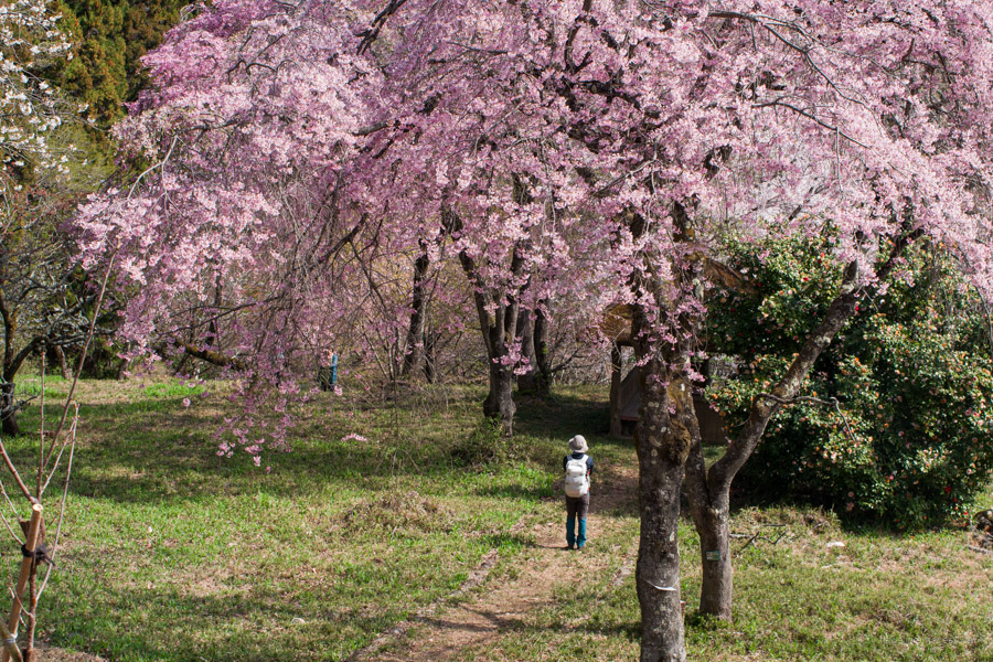
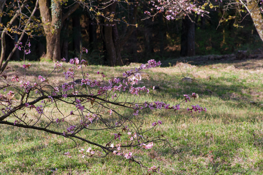
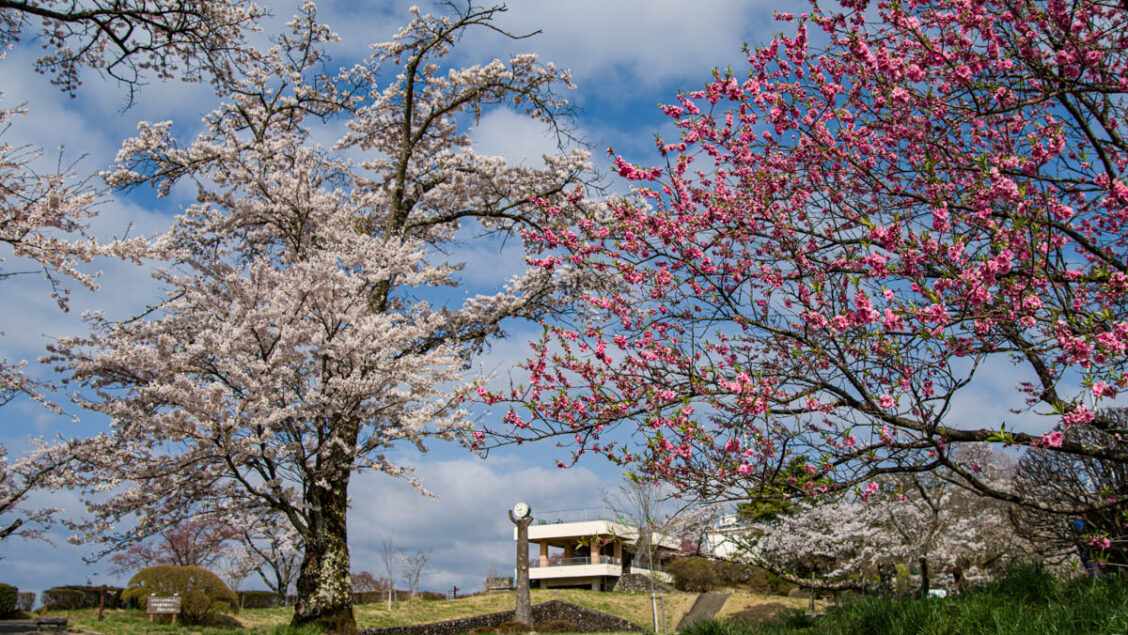
Mt. Minoyama is a gently sloping independent peak that straddles Chichibu City and Minano Town in Saitama Prefecture. The entire mountain is maintained as a Prefectural Natural Park under the name Minoyama Park. It’s a popular spot known for cherry blossoms, azaleas, and hydrangeas. The main purpose of this hike was to pay witness to the 8,000 odd Somei Yoshino cherry trees that bloom around the summit in early April. The night view is also stunning, and it is a notable unkai (sea of clouds) viewing spot. The mountain is beginner-friendly and can be climbed directly from the Chichibu Main Line. The standard course time is a leisurely three hours.
The quickest and easiest way to Seibu-Chichibu Station 西武秩父駅 is to take a Seibu Line Red Arrow Limited Express train from Ikebukuro Station (1 hr, 20 mins, and 1,506 yen). Cheaper fares can be had using local trains, though that would necessitate a change in Hanno. After exiting the station, transfer to Ohanabatake Station 御花畑 on the Chichibu Main Line (5-minute walk). Take a train in the direction of Hanyu and get off at Wado-Kuroya Station 和銅黒谷駅 (9 mins, 310 yen). It seems most folk start from Oyahana Station, but the hike can be done in either direction.
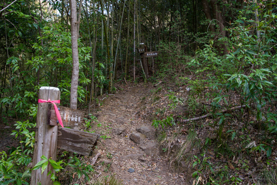
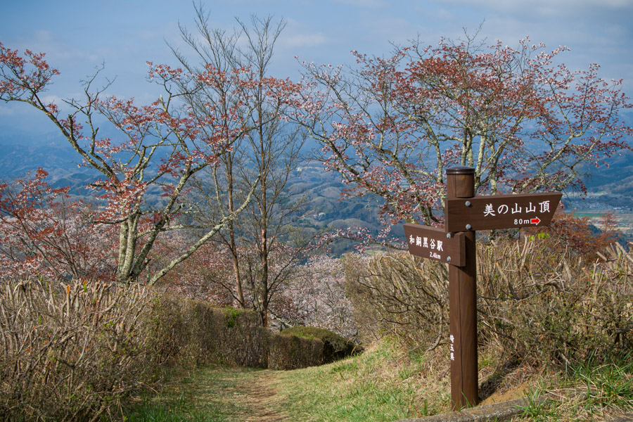
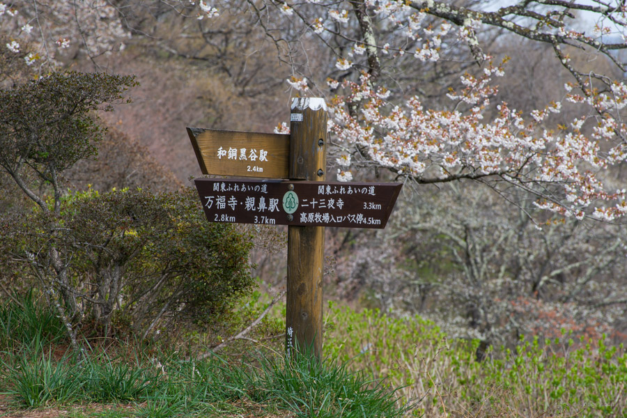
From the ticket gate, head straight, cross the busy National Route 140, and go past the 7-Eleven store. Turn right at the first minor road and wander through some quiet back streets. The hike overall is well marked and easy to follow. After 10 minutes, look for a signpost pointing to the Wado Ruins 和銅遺跡. A short 5-minute detour brings you to the Wado Kaichin coin, a giant replica of the oldest official Japanese coinage. The site was a onetime open-pit mine renowned for the high-quality copper ore used to mint the first coins starting in 708 CE. Return to the paved road and around to the trailhead proper on your right.
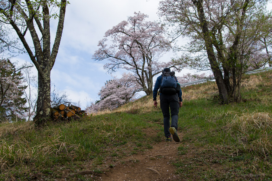
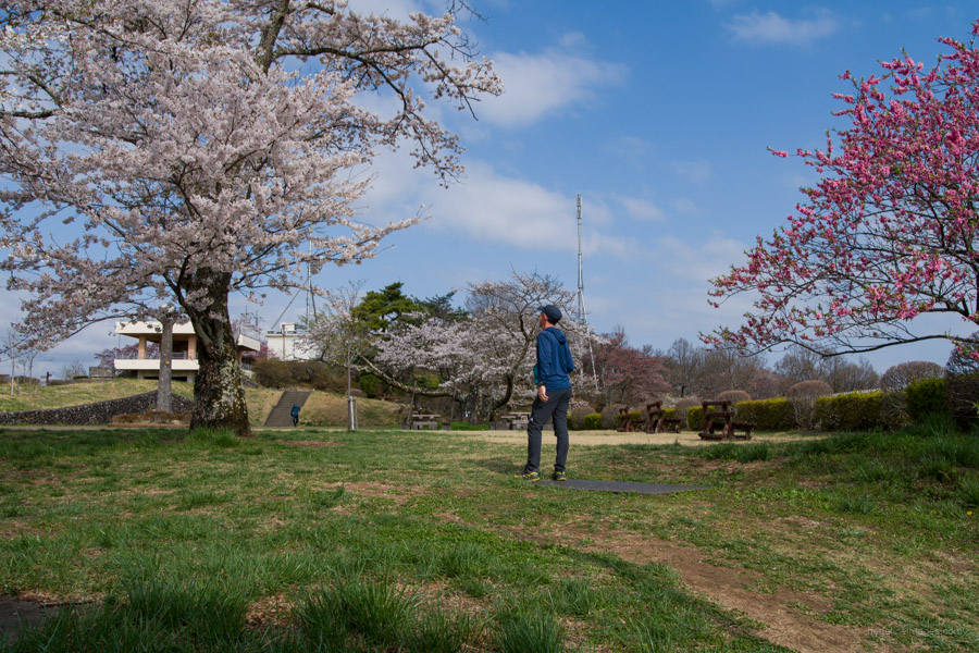
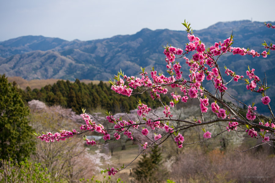
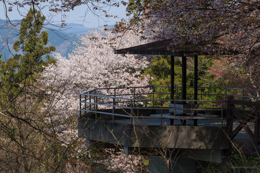
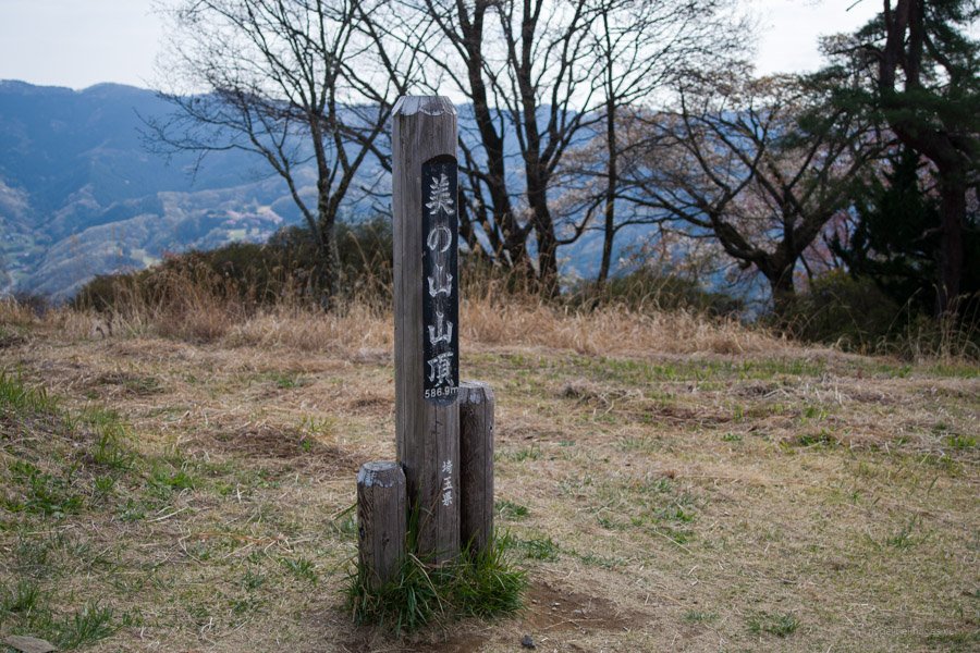
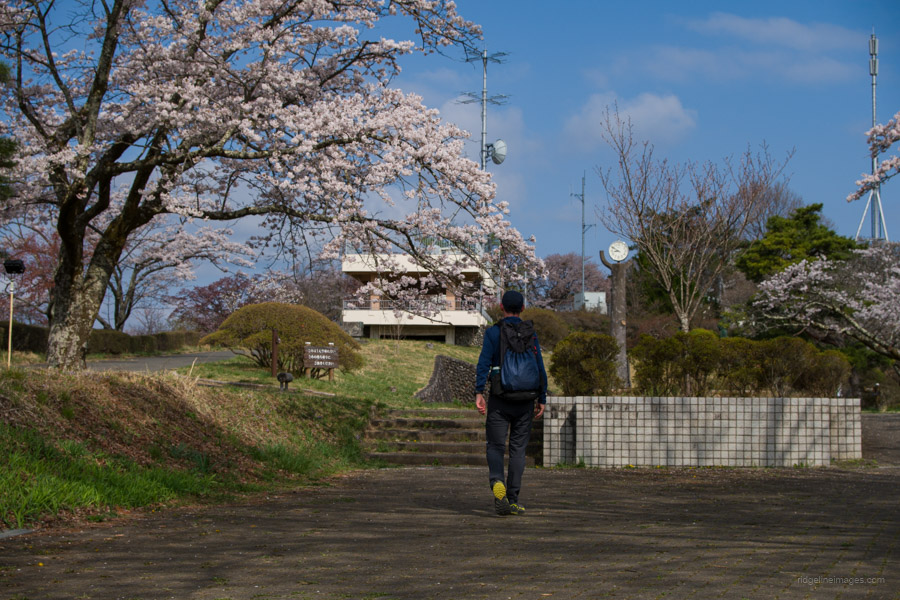
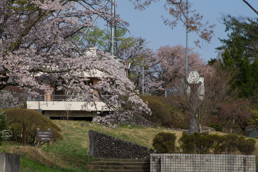
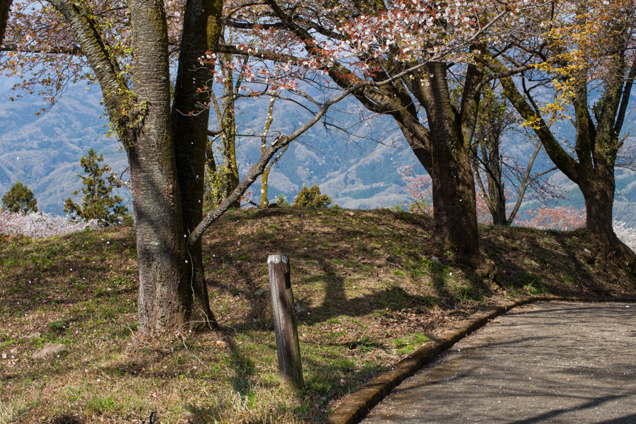
From the trailhead to the summit, the trail maintains a gentle gradient with no steep parts. The first cherry trees materialise as you draw nearer to the top of Minoyama Park 美の山公園. Including the brief detour, it should take a little over an hour (2.2 km) to reach Mt. Minoyama 蓑山 (美の山) 582 metres. Apart from the fine specimens of Somei Yoshino and Peach cherry trees, the Minoyama Park viewing decks offer a commanding panorama of Mt. Buko, Mt. Ryokami, and the township of Chichibu City below, while Mt. Akagi, Mt. Nantai, and Mt. Nyoho can be seen to the north. The downside is the tourist aspect with the teahouse-like buildings (shuttered), vending machines, and the fact that it can be reached by car.
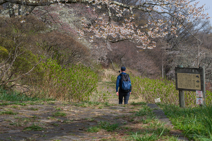
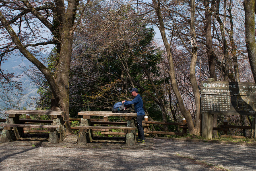
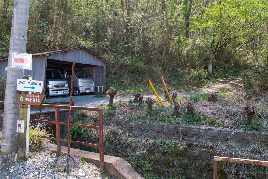
When you’re ready to head off, stick on the well-maintained footpath that passes a lookout pavillion and some rest benches. From there on, the path becomes a regular hiking track as it follows The Kanto Fureai Trail 関東ふれあいの道. On both approaches to the summit, the views are scant, so ensure to soak them up before heading down. The path briefly crosses an asphalt road before the short final descent to a residential area. After that, just walk down National Route 140 to Oyahana Station, where you can take the train back to Ohanabatake Station (16 mins, 450 yen).