.
Maruyama Lookout 丸山展望台 – Ono Pass 大野峠
Distance: 10.3 km
Elevation change: 650 metres
Highest point: 960 metres
Start: Ashigakubo Station (Seibu Chichibu Line)
Finish: Ashigakubo Station (Seibu Chichibu Line)
Difficulty: ▅▅▅▅▅▅▅▅▅▅ ❷
Map: Yama to Kogen Chizu 山と高原地図 [No.23 奥武蔵・秩父 OKUMUSASHI·CHICHIBU]
GPX TrackKML TrackGSI MAPPDF Topo Map
Enjoy One of Saitama’s Best Views
A quick glance of the Japan GSI Map database confirmed what I had imagined, that ‘Maruyama’ is a mighty popular mountain name with well over one hundred entries! Fortunately, this one in Yokoze Town Chichibu tops Google’s search results making it easy to pin down. What this unassuming mountain lacks in height (it rests below 1,000 metres) it makes up with a commanding 360-degree view from the summit’s observation tower. Mt. Maruyama’s relatively gentle slopes devoid of dangers, makes it suitable for hikers of all levels. A nice bonus is it can be hiked from the station and draws far fewer hikers than neighbouring Mt. Buko.
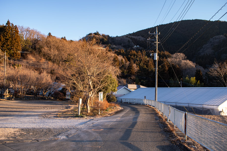
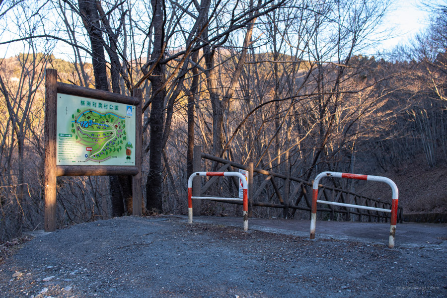
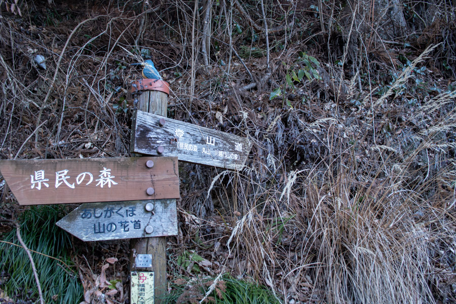
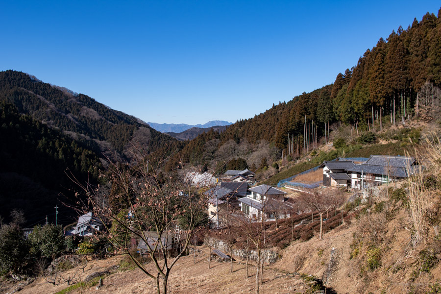
The hike sets off from Ashigakubo Station 芦ヶ久保駅 on the Seibu Chichibu Line. Travel time and cost from Ikebukuro Station (1 hr 40 mins, 720 yen). While it can be undertaken in either direction the trail notes assume a clockwise approach. From the station nosey down the stairs, cross a short bridge adjacent to the Kaju Koen Ashigakubo michi-no-eki and the National route 299. Begin roaming uphill through the quiet backroads past the Yokozecho Noson Park 横瀬町農村公園 a good spot to view Ajisai or Hydrangeas that bloom from late June to early July. Approaching the trailhead look out for this sign 登山道(県民の森、丸山、川越市山の家)tozan-do (Kenmin-no-mori, Maruyama, Kawagoe Yama-no-ie) at the final branch on the bitumen road.
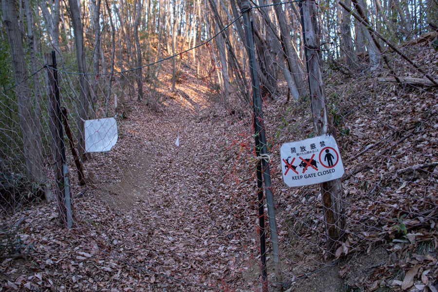
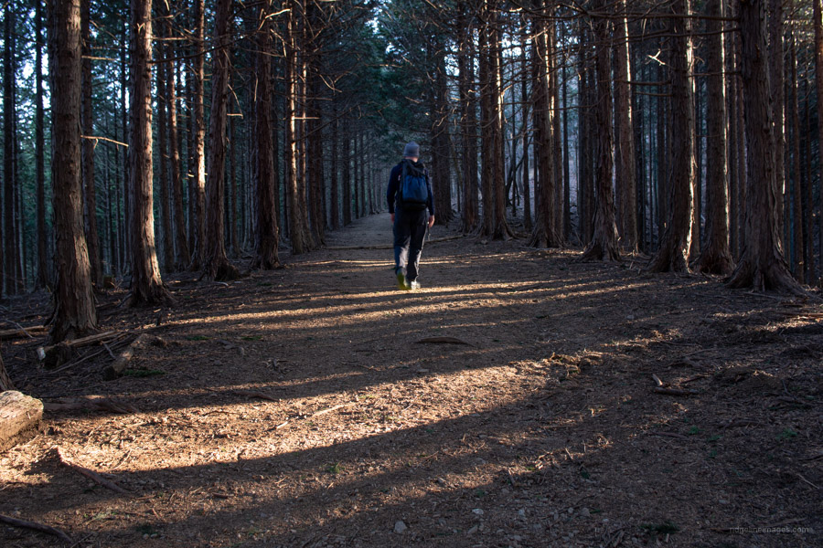
It takes approximately 25 minutes from the station to reach the barely readable signpost which marks the trailhead proper. After going through a deer gate which you need to untie and retie the trail passes through woodland, widening gradually as it enters a plantation forest. A little further up the trail steepens and cuts across a paved road before arriving at a gazebo and some toilets (closed in winter because of freezing temperatures). For good or bad, it’s possible ‘to cheat’ by driving your car to this point not far from the summit.
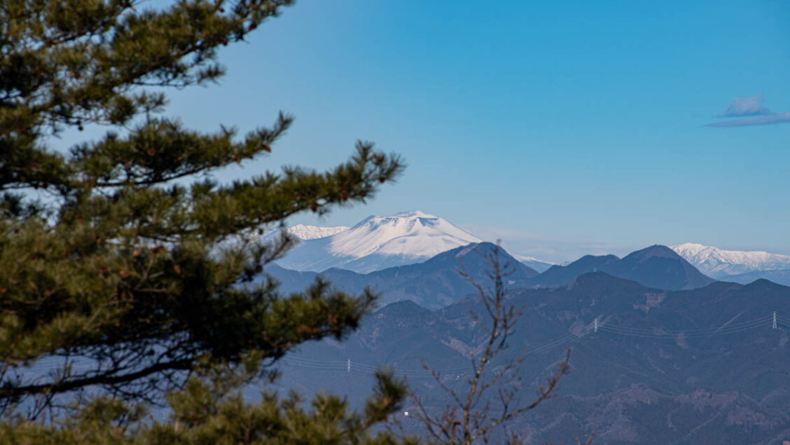
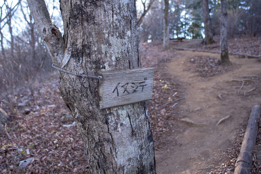
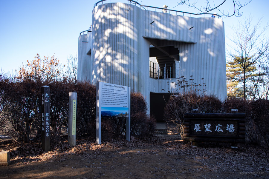
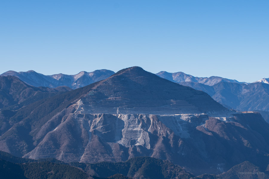
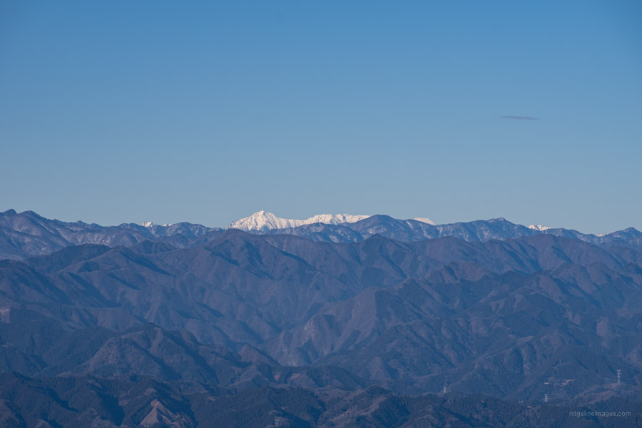
After the rest area it’s a further 0.5 km to the concrete fortress like Mt. Maruyama observation tower 丸山山頂展望台 (960 m). Just before the summit there are several trees adorned with their respective species names. Including natsutsubaki (Japanese stewartia) with it’s distinctive bark pattern, shirakaba (Japanese white birch), mizunara (Mongolian oak), konara (Jolcham oak), and yamazakura (Japanese mountain cherry). The literal and figurative highpoint of the hike are breathtaking views that extend to Mt. Nantai, Mt. Asama, Yatsugatake, Mt. Kobushi, and Mt. Sennokura. Nearer afield is the craggy bluff of Mt. Ryokami along with the distinctive chiselled veneer of Bukosan and to the north you can make out the dome ceiling of the former National Astronomical Observatory of Japan.
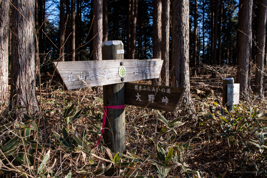
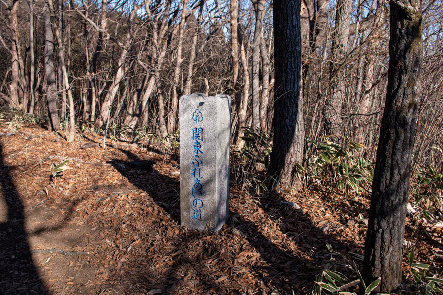
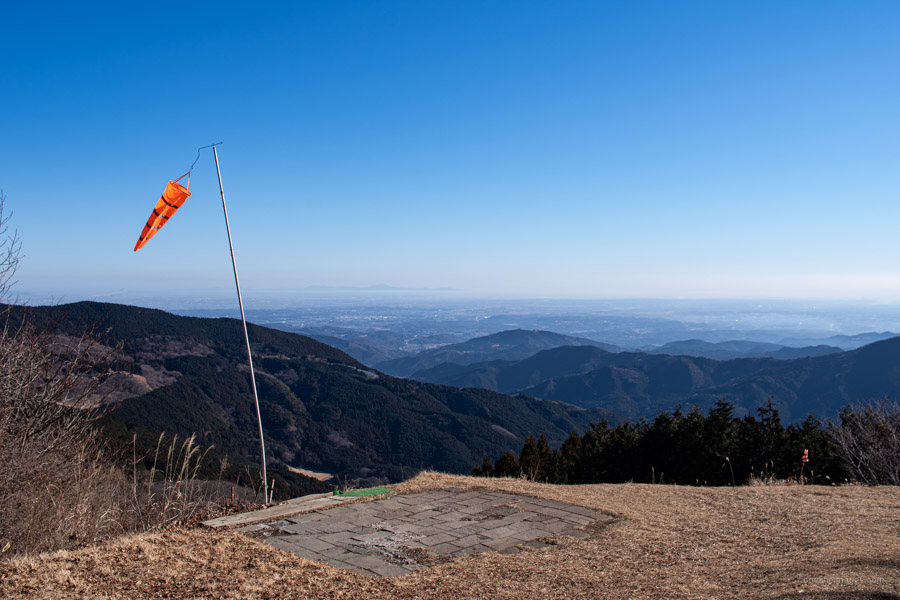
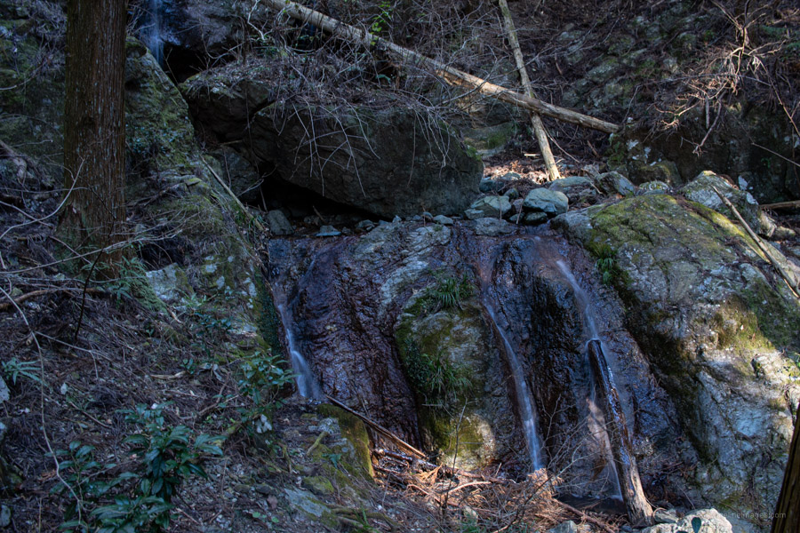
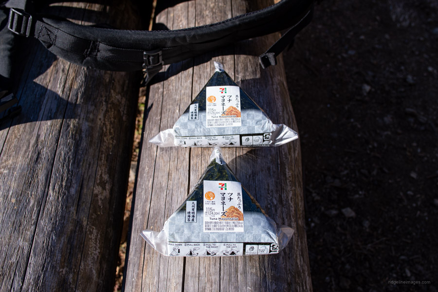
When you’re ready, begin heading in the direction of the radio tower and downhill through tracks of dwarf bamboo towards Ono Pass 大野峠. The pass falls along the Kanto Fureai no Michi and nearby is an open grass area complete with a windsock. At first, I assumed it was a helipad but later discovered it’s a favourite haunt for local paragliders. From here the trail descends through a valley with a couple of minor river crossings before popping out at National route 299. Just before the highway there is a nice spot to take lunch on some wooden benches. Final mission is to make the 30-minute joyless road hike alongside the highway back to Ashigakubo Station.


Great at the top, isn’t it. I’ve done this one 3 times in different seasons. There are several routes up. The best in my opinion is to follow your route up, but take the left fork on the bitumen road towards the buddhist temple. The temple has an impressive Buddha statue and nice views. Continue behind the temple, and you’ll spot a signpost for Mt. Shiro. Shiro has a small viewing platform. Continue past Shiro, and you’ll connect up to your route, heading right toward Maruyama. The service station has a few restaurants (curry, ramen etc), and a seasonal veg. shop. They have blueberries and strawberries in season too.
Yes, however I’m annoyed it took me so long to have gotten up there! Like yourself can see making repeat visits in different seasons – would love to see the view from the summit post-typhoon. On my way up I saw the viewing platform on Mt. Shiro so will check it out next time. Most impressive I thought was the encroaching snow line on Mt. Asama.
On Sundays, I sat and had a little picnic next to the paragliding spot, and watched them sail down to a little green patch among the forest.
Onto your radar: mountains for Fuji views in the area between Mt Mishotai & Fuji Station.
Last Sunday I did Oshino Hakkai village to Toriichitoge to Mt. Takazasu (1304 m), back to Toriichitoge, continuing to Kozamori Shrine, Fujiyoshida. Thru torii , onto a road, turn left back to Fuji Station. Best option : Highway bus on Sunday from Shinjuku 8.15 am, drops you at Oshino Hakkai at 10.22 am (earliest you can get there). 30 mins to trailhead (Toriichitoge). Spectacular unobstructed views of Fuji as you ascend the ridgeline. BUT last 200 metres are steep, were a bit muddy, no ropes, chains, stairs. Definitely bring microspikes. Buses back to Shinjuku on Sunday from Fuji Station are every 30 mins. Can be booked at the little office beside the station. Bus will pick up /drop off from Fuchu, Hino, Hachioji too. I will do Mt. Shakushi this weekend on a different route.
Nice to know about this lookout!
My wife and I happened to get off at the Ashigakubo Station just the other day to take a look at the icicle display next to the Michi No Eki. https://en.japantravel.com/saitama/ashigakubo-icicles/28826 (That experience might be worth doing if it’s coupled with a hike. Going all the way out there just to see the icicles was a bit much.)
I’ve ridden past the Michi no Eki a million times heading out toward Chichibu-shi but this was the first time I’d ever seen anyone there. It was nice to see it was doing a lot of business.
For sure, pencil this one in for a fine day. A few years back I visited the Misotsuchi no Tsurara Icicles up towards the Futase Dam. The day I went it was snowing which made them look quite serene.
Here’s a bit more info, inc. a pdf map from Seibu Railways, and a YouTube clip of a hiker doing the kids’ roller slide at Yokoze rural park, which you’ll pass if you stay on David’s route. If you take my route (Buddhist temple, Mt.Shiro), you bypass this park, but you’ll have less road walking and more trail. Your call
Sorry — forgot to attach the link
https://thetokyofiles.com/2012/05/30/tokyo-hiking-murayama-mountain-ashigakubo-station/
Follow-up : Mt Shakushi (1600m)
Fastest: (weekend) Shinjuku highway bus to Shimo Yoshida highway bus stop, 8.50am arrival. Long road walk (bus route stopped) to Fudoyu trailhead (Google Map listed as International Hot Water). Road walk nice; quiet. Fudoyu has mountain drinking water (no water further up right now), also hot bath 1000 yen. Fudoyu to Mt Shakushi summit = 1h 15 – 1h 40. AMAZING SUMMIT = 360 degree panorama inc. Fuji. Return same route. Easy track mostly, last 30 mins moderately steep. Other route up (Mitsutoge Station – Mt. Kuromi) tougher, less popular.
Shouldn’t it be just “Mt. Maru”?
You’re correct in pointing out that it should be Mt. Maru or simply Maruyama. For some mountains on the blog, I include the “yama” “san” “dake” prefix and other times omit it. It’s done mostly for SEO reasons. I also tend to follow what other websites have done or what I feel is more common usage. If the hike doesn’t appear in the top search results of Google, I’ll sometimes play around with it.
Just did this today but added Hinatasan to the start. Enjoyed it despite the weather, there are a lot of fallen trees on the trail on the return leg (if going clockwise).
Good to hear the weather didn’t thwart your plans. Provided the trail doesn’t become dangerous there is certainly something cathartic about hiking in the mist and rain.
I just did this “mountain” on Culture Day, from Ashigakubo Station through to Kinshoji in Chichibu.
Unfortunately, the unusually warm weather created haze, making it almost impossible to see any but the closest surrounding mountains. Nor did I see any wildlife larger than a small bird.
I can imagine the views would be magnificent in winter.
I was also hiking this past Friday, and it felt warm, more like mid-September. As for Maruyama, I’d be keen to return on a very clear day. Even the day when I hiked, it was a bit hazy.