.
Kanhasshu-miharashidai 関八州見晴台 – Koburi-toge 顔振峠
Distance: 12 km
Elevation change: 601 metres
Highest point: 771 metres
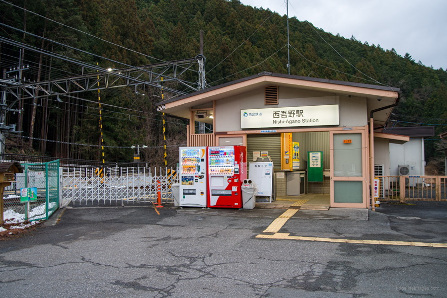
Start: Nishi-Agano Station (Seibu Chichibu Line)
Finish: Agano Station (Seibu Chichibu Line)
Difficulty: ▅▅▅▅▅▅▅▅▅▅ ❸
Map: Yama to Kogen Chizu 山と高原地図 [No.23 奥武蔵・秩父 OKUMUSASHI·CHICHIBU]
GPX TrackKML TrackGSI MAPPDF Topo Map
A Scenic Oku-Musashi Traverse
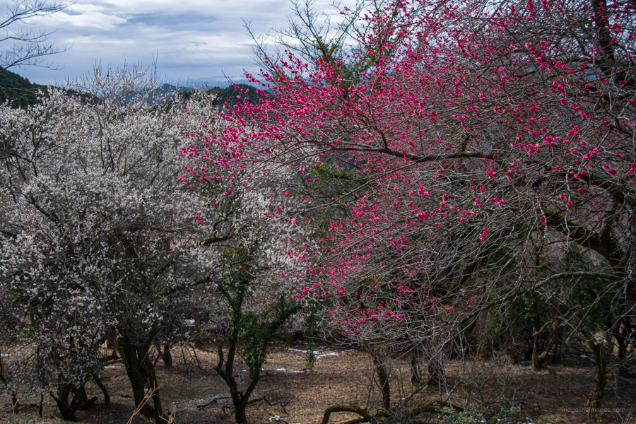
This hike lies on the northern side of the Seibu-Chichibu Line, in an area between Koburi Pass and Mt. Maruyama. It also passes near Koroyama-san-taki, which was visited on the Mt. Otakatori hike. Straddling the border of Hanno City and Ogose Town in Saitama Prefecture, the route is well signposted, easy to access, and can be done year-round, though an early start is advisable in the summer. A good time to visit is in April, when the azaleas are in bloom. Seibu Railway has a topographic map of the route (in Japanese).
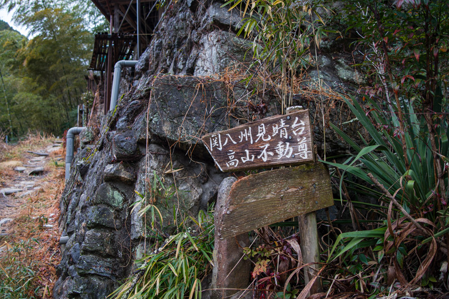
Although not visited on this occasion, a charming mountain temple, Takayama-Fudoson, is located near the summit. The summit itself, known as Kanhasshu-miharashidai 関八州見晴台, or “Eight Provinces of Kanto,” refers to the historical provinces of the Ritsuryo period (late 7th to early 10th century). The hike can be done in either direction; however, these trail notes follow a clockwise route starting at Nishi-Agano Station 西吾野駅 on the Seibu-Chichibu Line. A major advantage of using the Seibu Line is its affordability, with the round-trip fare costing less than 1,000 yen from Kodaira Station.
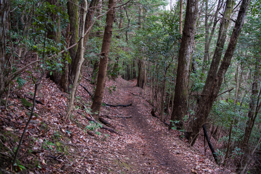
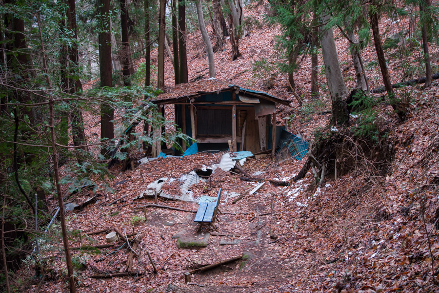
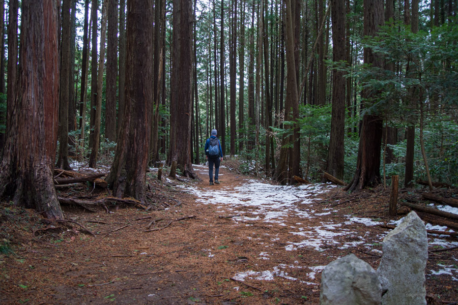
After exiting the station, turn right and follow the road that runs alongside the river. There are two trailheads to choose from, located less than five minutes apart – take your pick as they merge further up the trail. I chose the second one, which passed by a typical assortment of akiya – abandoned or vacant houses. The first trailhead apparently has better views. The combination of strong winds and early March timing meant the cedar pollen was overpowering, making me seriously question my sanity for hiking on such a day.
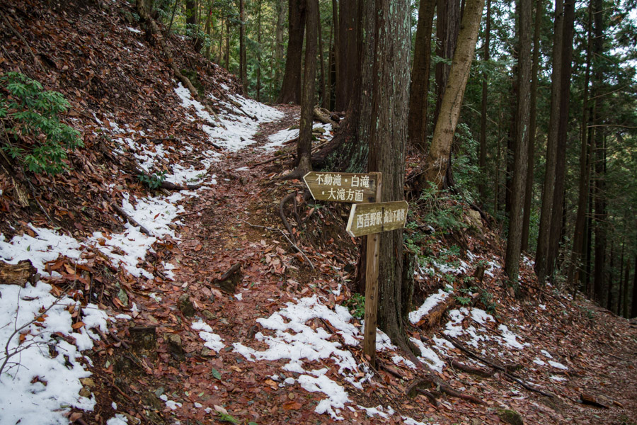
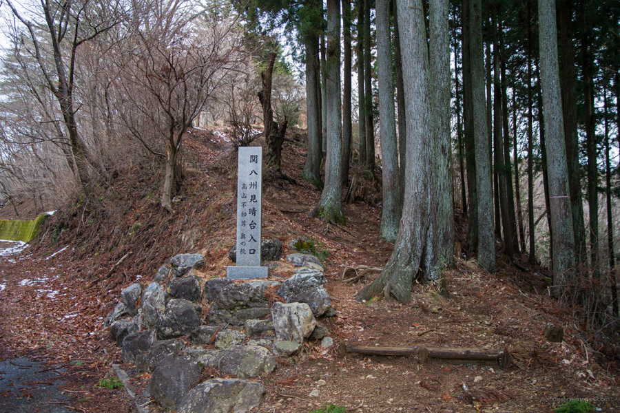
After passing the ruins of Haginodaira Teahouse 萩ノ平茶屋, the trails converge at a spot called Ishiji-zo 石地蔵. From here, a gentle and easy-to-walk path continues to a junction for Takayama Fudoson 高山不動尊. If you wish to take a detour, turn right and head downhill.
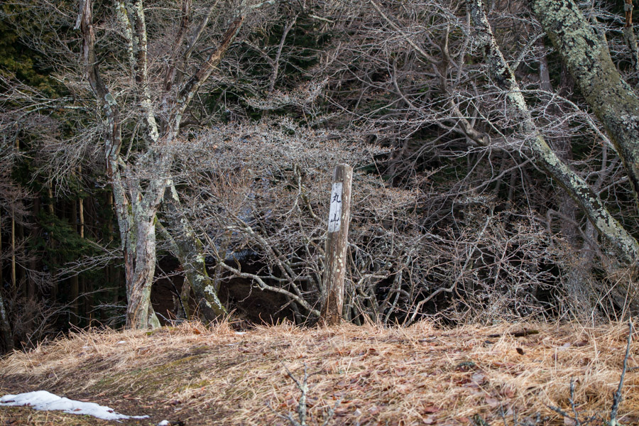
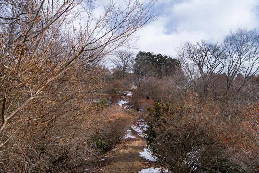
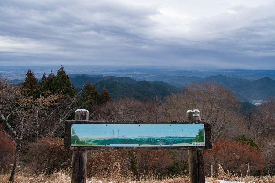
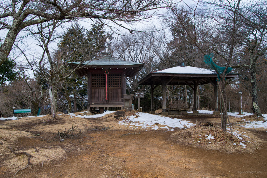
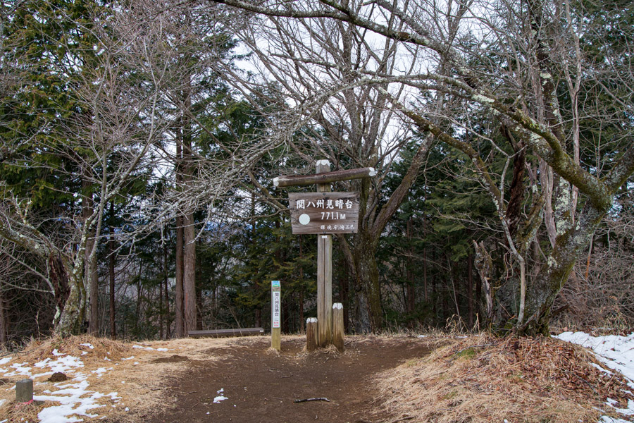
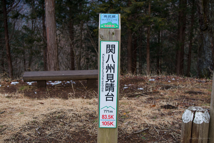
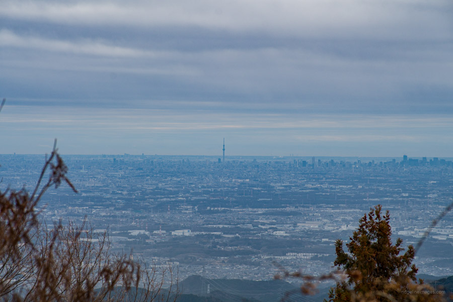
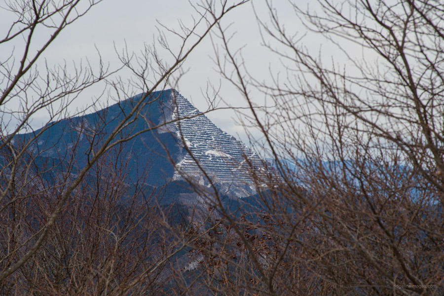
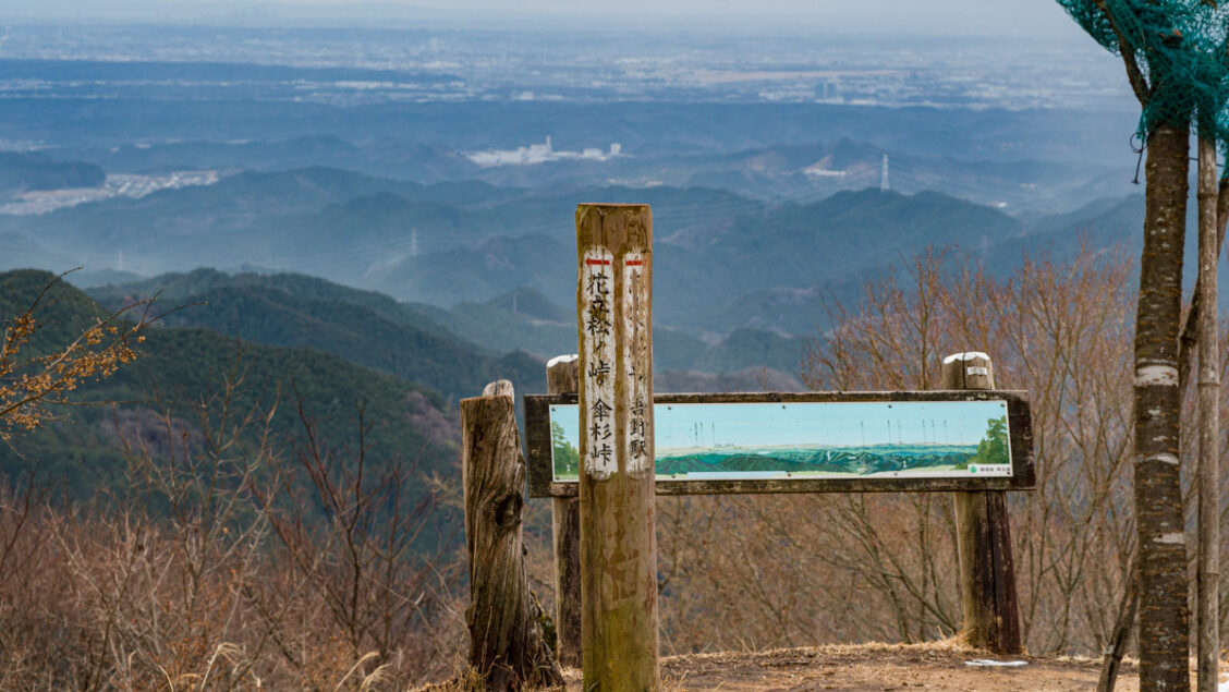
The trail then passes over a small peak called Mt. Maruyama 丸山 before reaching a paved road, followed by a short climb to the summit of Kanhasshu-miharashidai (771 m). The spacious summit even features a gazebo. The view towards central Tokyo includes the Seibu Dome and Tokyo Skytree. To the southwest, Mt. Oyama, and to the southeast, the chiselled veneer of Mt. Buko along with Mt. Ryokami.
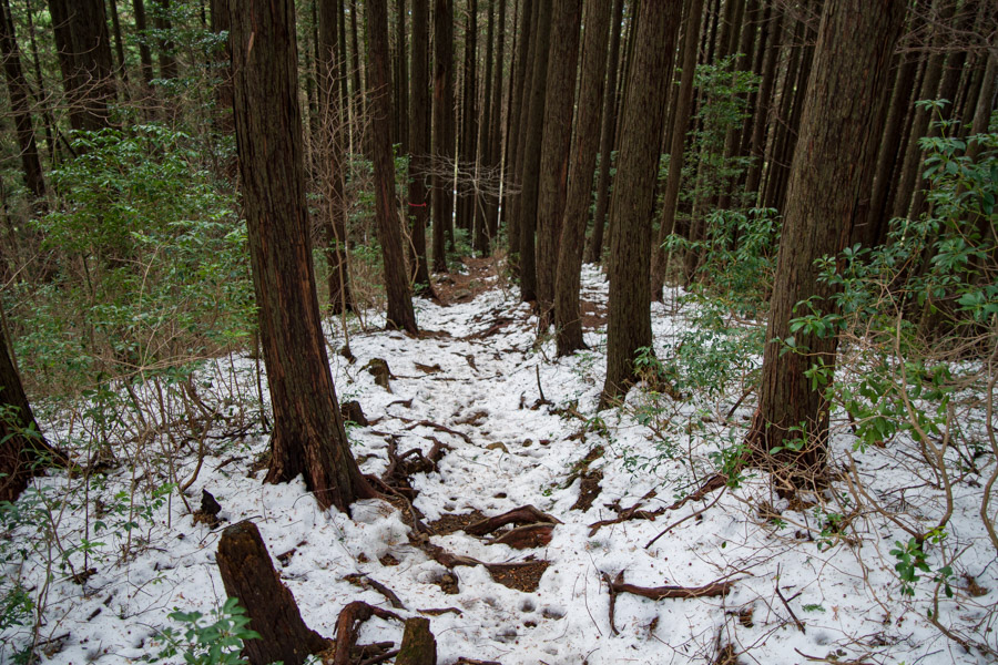
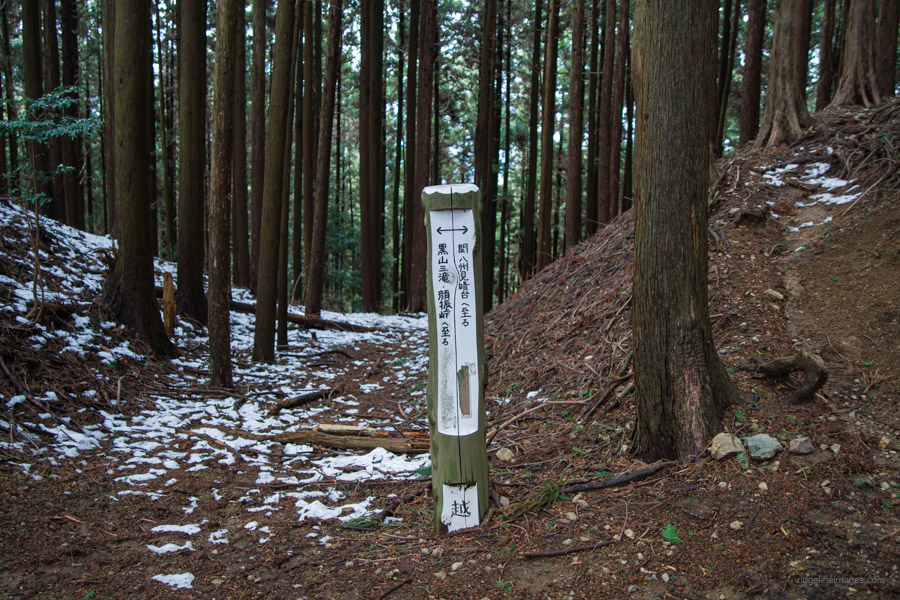
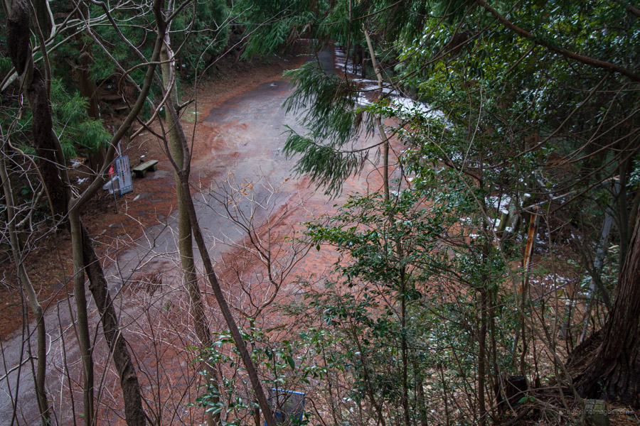
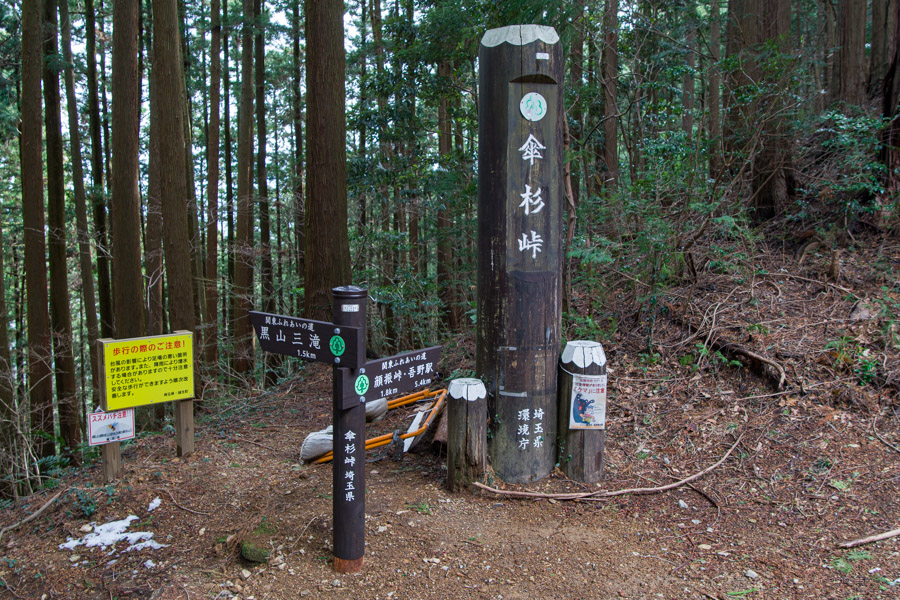
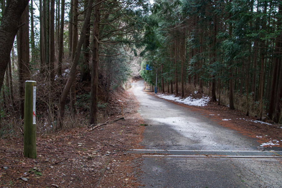
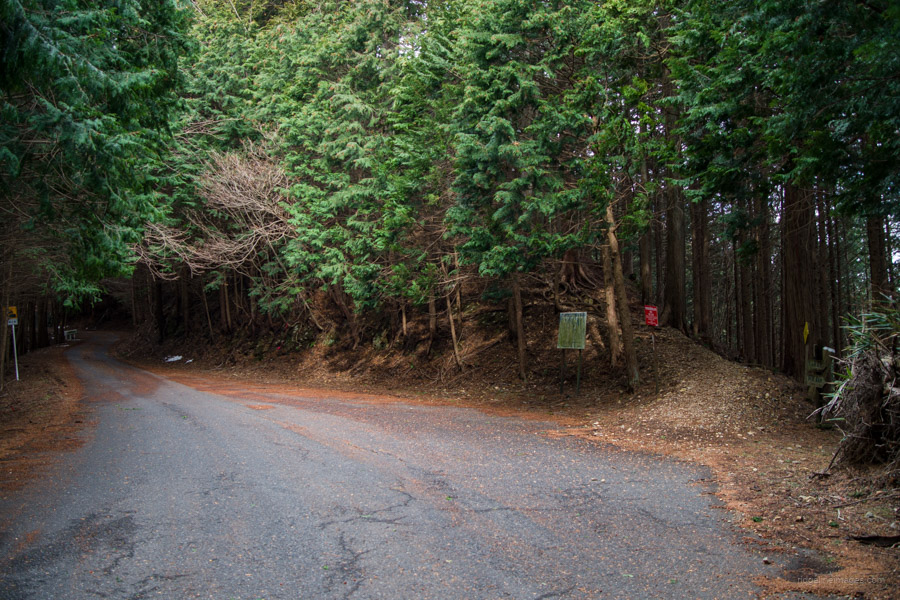
After enjoying the view, begin a careful descent from the summit along a ridge. In this section, you’ll alternate between hiking trails and forest roads, intersecting with the Oku-Musashi Green Line 奥武蔵グリーンライン several times. The road passes include Nanamagari-toge 七曲り峠, Hanatatematsu-no-toge 花立松ノ峠, and Kasasugi-toge 傘杉峠, along with a turnoff for Koroyama-san-taki 黒山三滝.
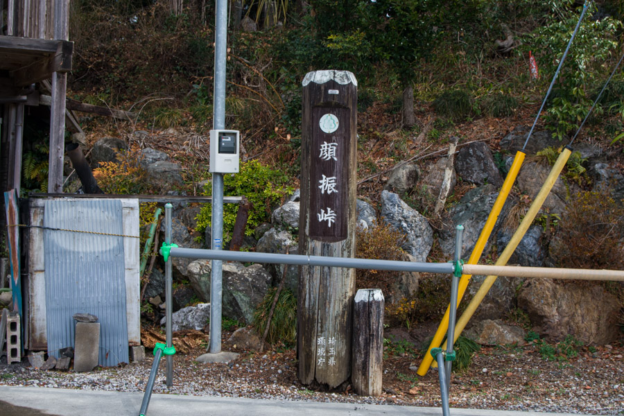
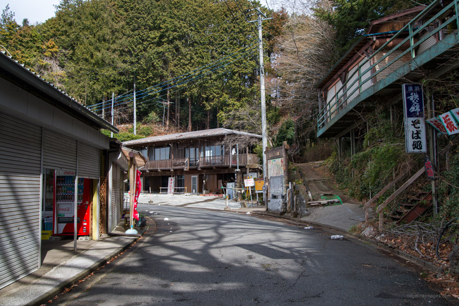
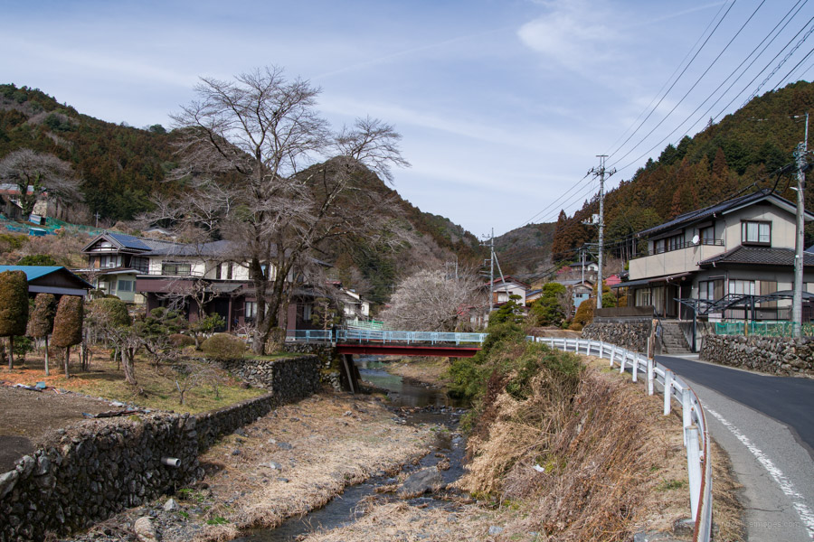
After about an hour and a half of walking from Kanhasshu-miharashidai 関八州見晴台, you’ll arrive at Koburi-toge 顔振峠, a pass known for its lycra-clad cyclists and three tea houses. For the final descent to Agano Station 吾野駅, veer off to the right, which leads down to a road. The elevation drops sharply at first but soon levels out into a relatively gentle path. In any case, allow about an hour to reach the station.