.
Mt. Nishiyamatakatori 西山高取 – Koroyama-santaki 黒山三滝 – Koburi Pass 顔振峠
Distance: 15.7 km
Elevation change: 520 metres
Highest point: 580 metres
Start: Ogose Station (Tobu Ogose Line)
Finish: Agano Station (Seibu Chichibu Line)
Difficulty: ▅▅▅▅▅▅▅▅▅▅ ❸
Map: Yama to Kogen Chizu 山と高原地図 [No.23 奥武蔵・秩父 OKUMUSASHI·CHICHIBU]
GPX TrackKML TrackGSI MAPPDF Topo Map
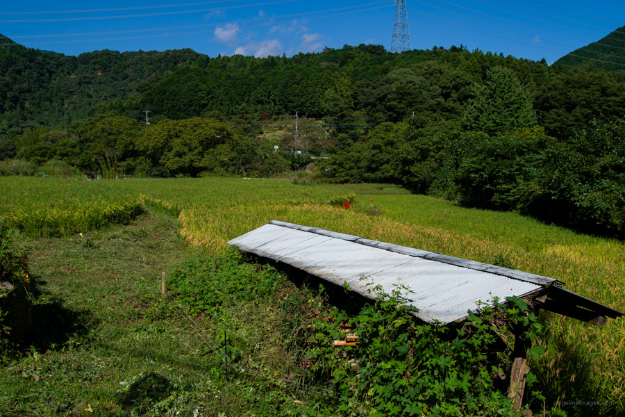
Escape to Nature in Rural Ogose Town
Ogose Town in central Saitama Prefecture has plenty going for it, starting with convenient access from the Tokyo metropolitan area. The area has a number of popular hiking courses that can be enjoyed year-round by novice and experienced hikers and trail runners alike. Hikers arrive on mass for the plum and azaleas in spring and autumn leaf season though at other times the trails are quiet and make a restful escape from the metropolis. This hike takes in several local mountains and the three waterfalls of Koroyama as it traipses to Agano Station.
Ogose Station 越生駅 (Tobu Ogose Line), the starting point of the hike is about an hour by train from Ikebukuro. If you are looking to scale back the hike, from Ogose Station there is an infrequent bus service that runs near to the waterfalls or could possibly be used on the return trip (30 mins, 360 yen). The first morning bus doesn’t however depart until 9:12 am.
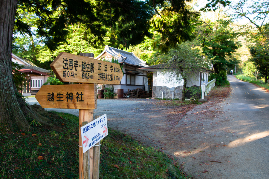
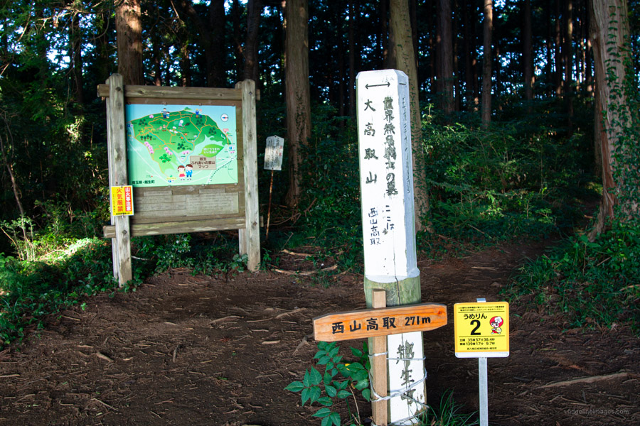
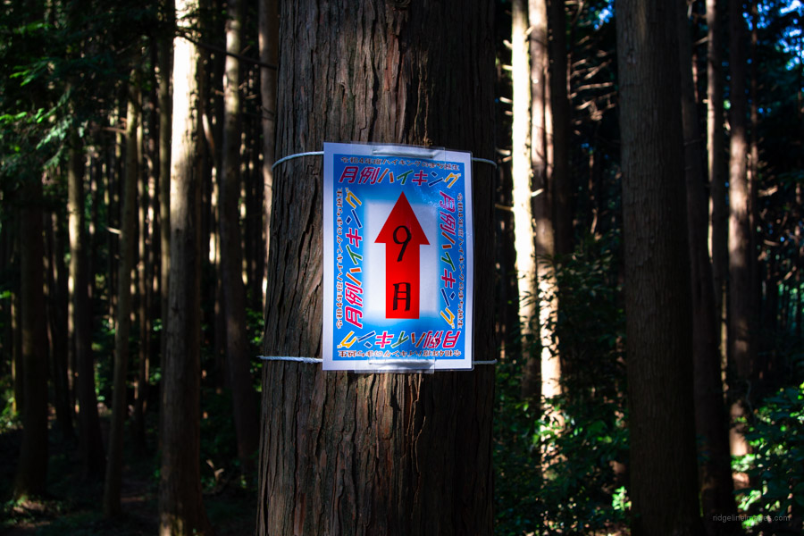
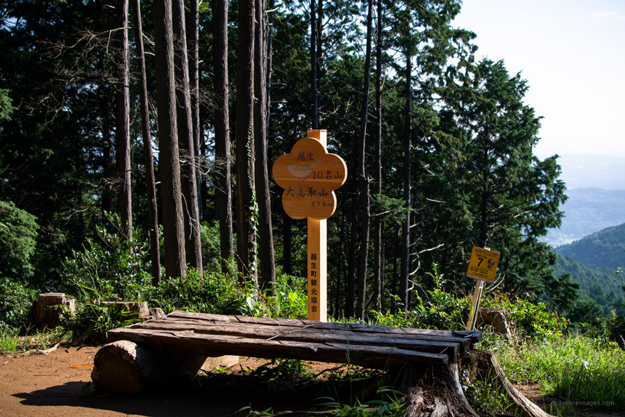
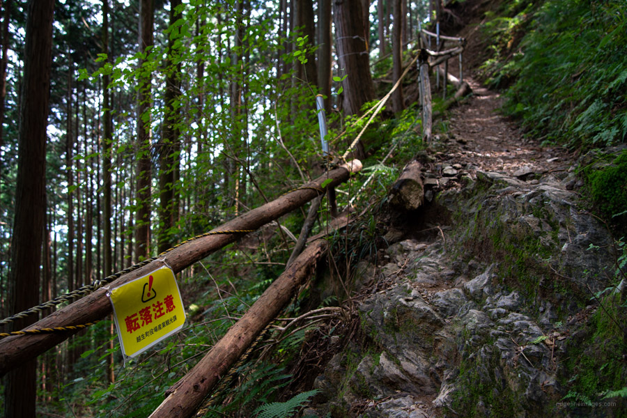
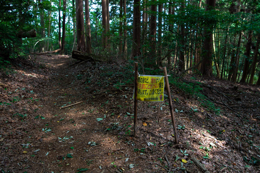
From the station leave by the west exit, walk along the road that passes the Hoonji Temple 法恩寺 to the glistening white Sekia Mumei Senshi No Haka (Tomb of the Unknown Soldiers) that marks the trailhead proper. The trail maintains a gentle gradient to Mt. Nishiyamatakatori 西山高取 (272 m) before dipping and climbing to Mt. Otakatori 大高取山 (376 m) a minor detour from the trail junction. With some trees removed it affords a good if perhaps restricted view. It should be mentioned that while the hike is well trodden there are trails veering off every which way so be sure to carry a map and GPS device.
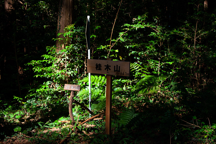
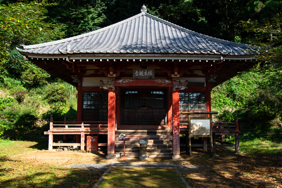
When you’re ready to set off return to the trail junction and begin heading towards the Katsuragi Kannon 桂木観音. Along the way you’ll pass the low-key Mt. Katsurahi 桂木山 (367 m) before passing the torii gate and Katsuragi Kannon observation deck at the bottom of a flight of stairs. A wonderful panorama can be had here with the Tokyo Skytree visible on a clear day. At the restroom turn right which passes a house and dips around to the right. As you approach the road the trail hits bedrock which was quite slippery and will be especially so after rain.
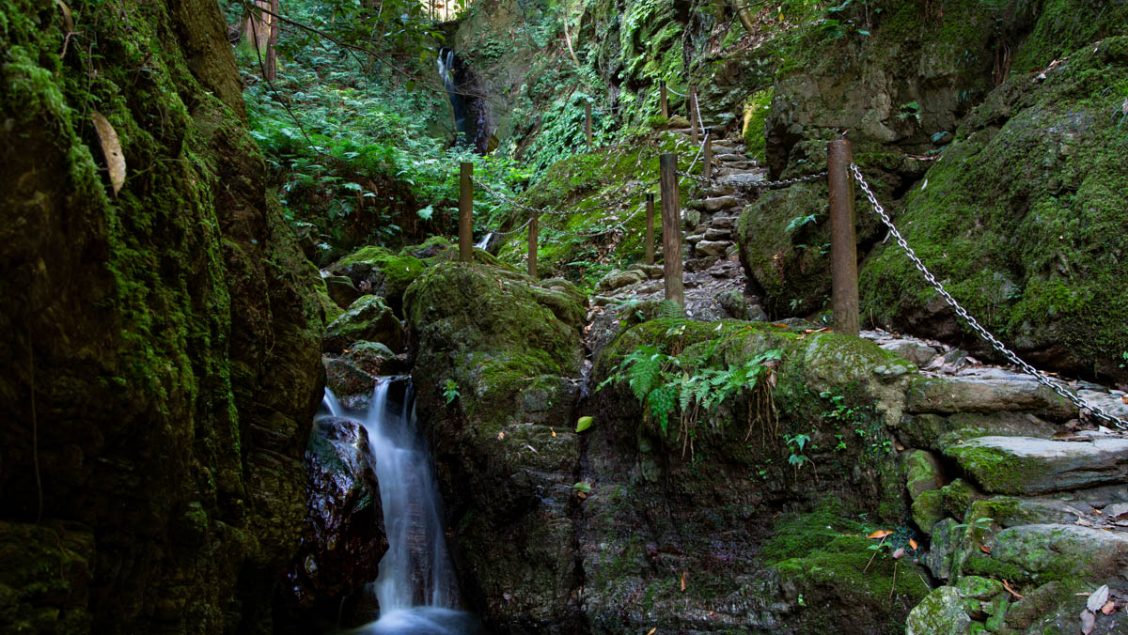
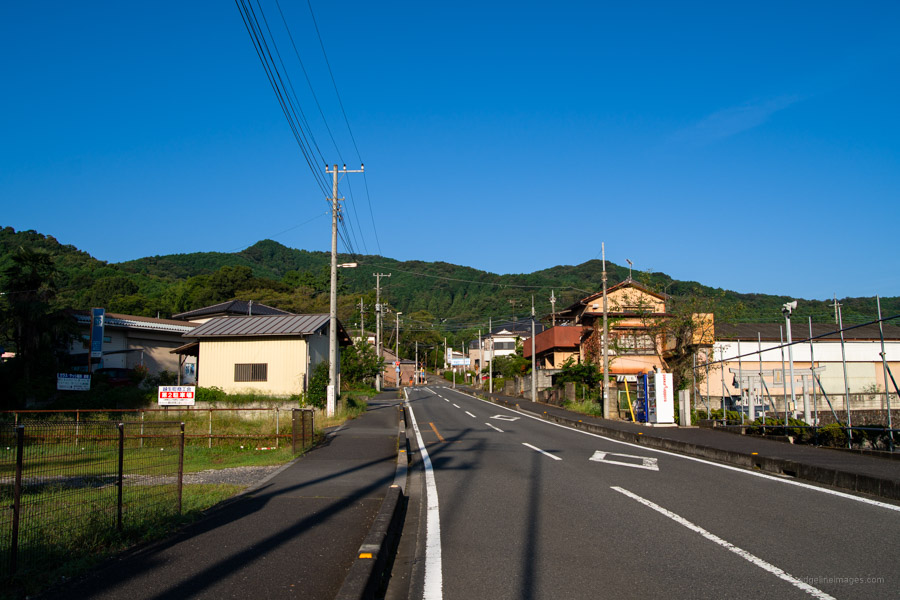
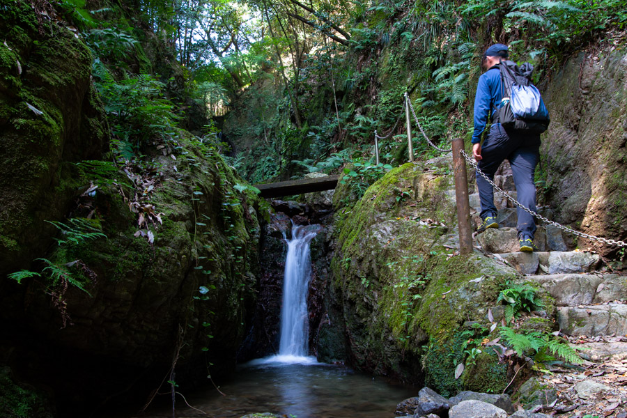
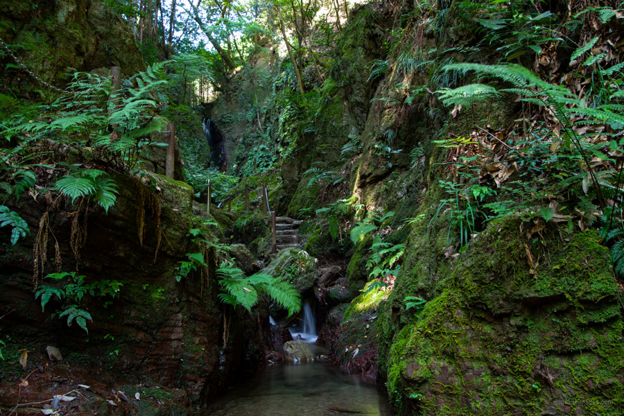
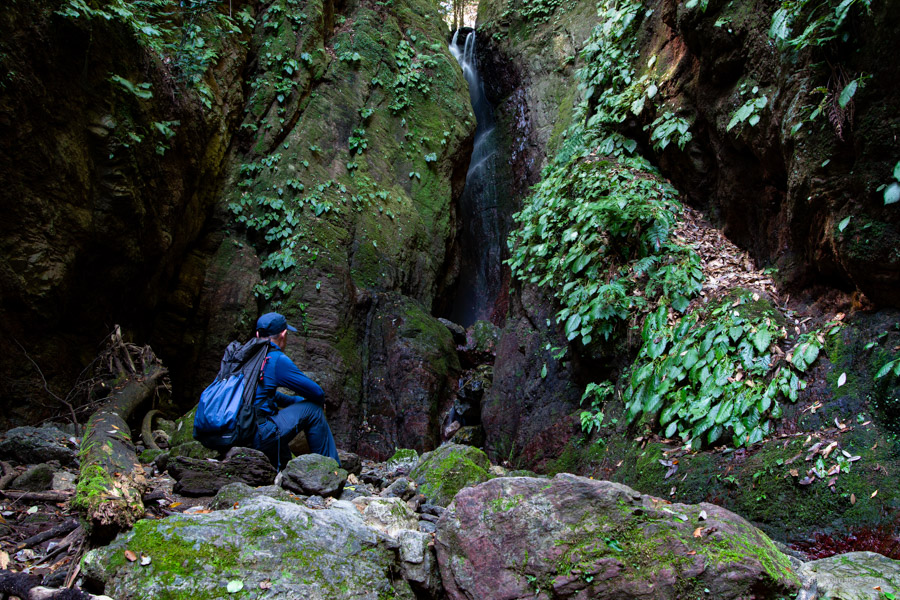
Next includes some road walking which brings you to the waterfall entrance gateway that looms over the road. From here the Koroyama-santaki 黒山三滝 the general term for three waterfalls is nigh. The first of the trio is the Tengu-taki 天狗滝 following that the Odaki-taki 男の滝 and Medaki-taki 女の滝. Be warned though, depending on the season it can get very busy on weekends. The Koroyama-santaki was established as a base for Shugendo mountain worship in the Muromachi period (1336 to 1573) and became a favoured tourist spot during the Meiji period.
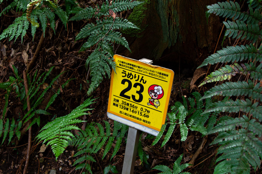
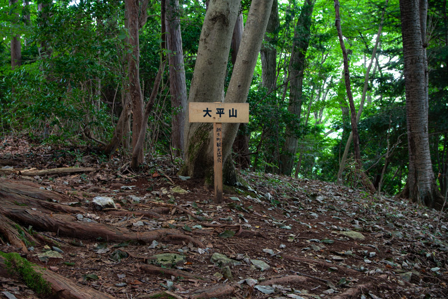
After savouring the falls, the hike ups the ante as it makes a steepish ascent to some stone statues that pave the way to Mt. Ohira 大平山. Note from the river the initial part of the trail is fairly indistinct. A terrific initiative from Ogose Town are signs brandishing their mascot Umerin chan accompanied by longitude and latitude coordinates to help pinpoint your location in a crisis. Crossing the spider web ridden summit in due course brings you to a road which heads down to Koburi Pass 顔振峠. From here the trail descends to the opposing trailhead after which you pick up another road which points you back to Agano Station 吾野駅 that was also used on the Koburi Pass hike.


Hey David, Thank you so much for this write-up! I always refer to ridgelineimages for hike trails and, any and all hiking related information. 🙂
By the way, did you experience any leeches in this area? And if I want to check this info on other mountains/hike trails, do you have any recommended sites?
Hi Gladys, thanks for following the blog. The good news is the area is largely leech free and especially so from the autumn onwards. Leeches are mainly an issue in the Tanzawa Mountains and adjoining areas from June thru September. In other parts of the Kanto Region they aren’t much of a problem.
That’s good to know! Thank you!
Hi David, thanks for the recommendation. Did this hike last weekend. It was great, and I made a YouTube video on it. I mentioned you in the description.
Hi Saleem, thanks for letting me know. Looks liked you timed it nicely with the weather.
Hello David.
Yesterday I did the Otakatori yama after reading your blog about it. I wanted to share some detail about it.
In the article, it says
“Next includes some road walking which brings you to the waterfall entrance gateway”, the part of road can be avoided if we come back to trail
I have sent the alternate route idea on facebook
Thanks for the suggestion Shiva. The hike has many shortcuts and alternative trails as you discovered!