.
Suwa Shrine 諏訪神社 – Mt. Ogamiyama 越上山 – Yugate ユガテ
Distance: 11.9 km
Elevation change: 396 metres
Highest point: 566 metres
Start: Agano Station (Seibu Chichibu Line)
Finish: Higashi-Agano Station (Seibu Chichibu Line)
Difficulty: ▅▅▅▅▅▅▅▅▅▅ ❷
Map: Yama to Kogen Chizu 山と高原地図 [No.23 奥武蔵・秩父 OKUMUSASHI·CHICHIBU]
GPX TrackKML TrackGSI MAPPDF Topo Map
Discover One of Saitama’s Best Kept Secrets
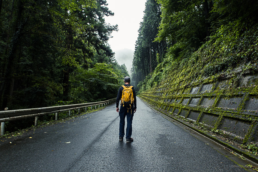
Koburi Pass has been on my ‘to hike’ list for ages, so with sunny skies forecast last weekend, I finally found my opportunity. Located in Hanno City on the outskirts of Tokyo, it is convenient to access and can be done year-round, though aim for an early start during the summer. I found the trail signposting to be somewhat lacking, so carry a map and/or handheld GPS. Seibu Railway has a good topographic map (in Japanese) worth printing out and bringing along.
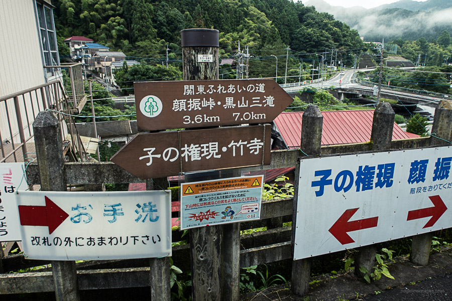
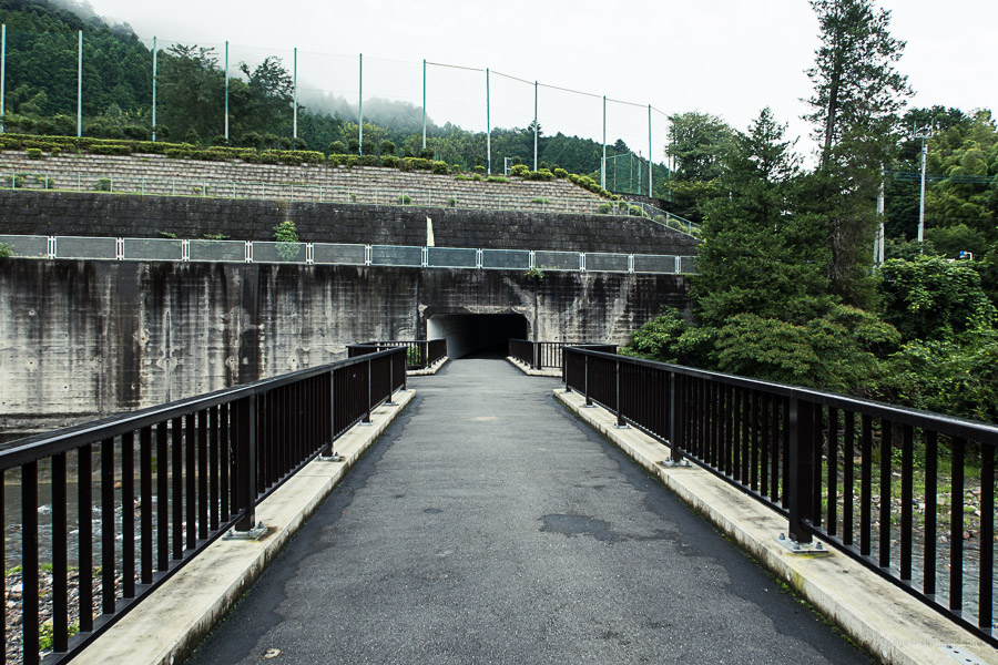
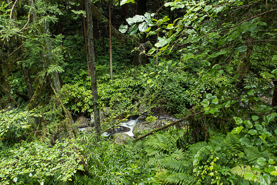
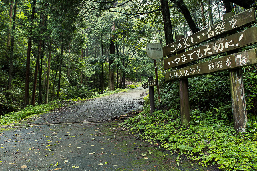
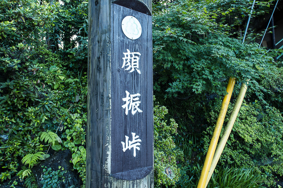
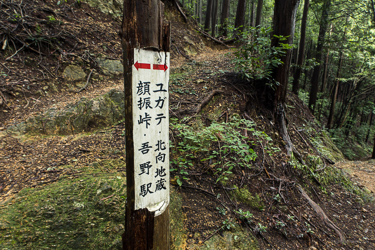
The hike can be done in either direction; however, the trail notes follow in a clockwise fashion, starting at Agano Station on the Seibu Chichibu Line. After exiting the station, look for a signpost pointing to Koburi Pass 顔振峠. Head down a flight of concrete stairs, turn right, and keep on the road until you reach a pedestrian crossing. Head across the Koma River and through the underpass. Continue up the road, skirting alongside a minor stream. Soon you’ll reach a sign directing you up a paved road to the trailhead proper. It takes approximately 30 minutes to reach this point from the station.
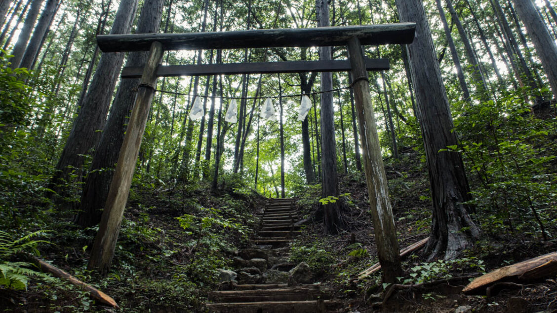
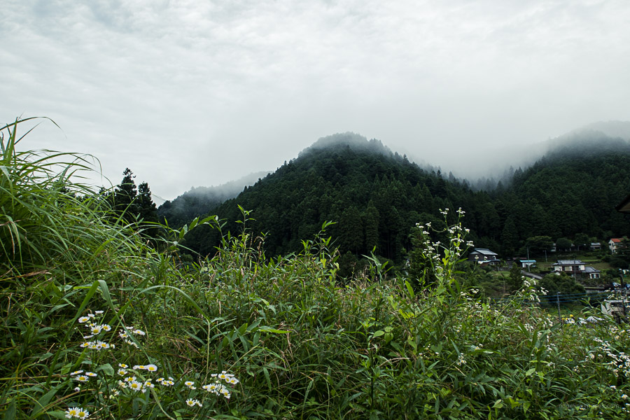
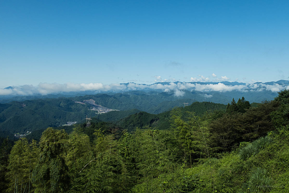
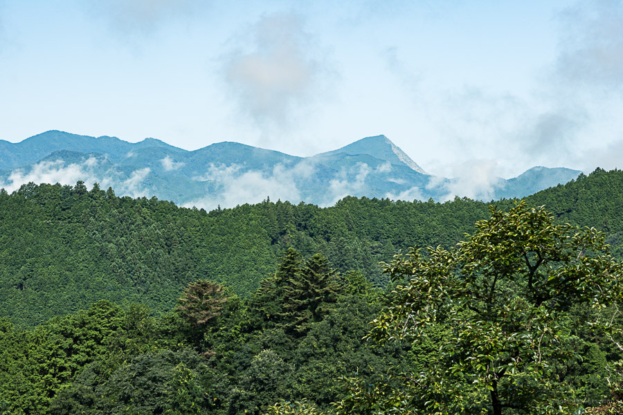
The trail makes a gradual climb through mixed species woodland before crossing a road just before you reach Koburi Pass at an altitude of 500 metres. The pass has three teahouses perched on the mountainside, offering a lengthwise panorama of the Okuchichibu Mountains including the chiselled facade of Mt. Buko, Mt. Tenmoku and even Fujisan in fine weather. Views towards Omiya and beyond can be had 10-minutes’ walk east of the pass at Amagoitsuka 雨乞い塚. When you’re ready to head off return to the pass (recommended) or follow a minor trail which pops out a little way up from the Suwa Shrine 諏訪神社 either way it takes around 20 minutes.
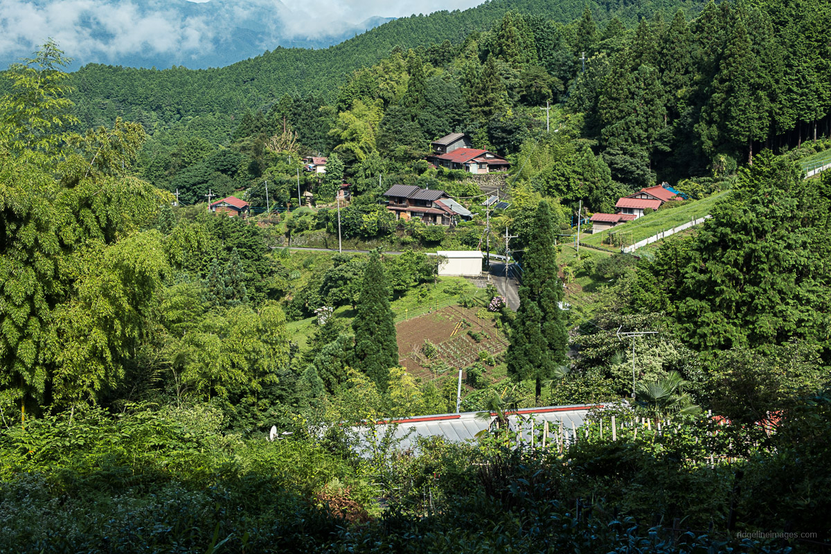
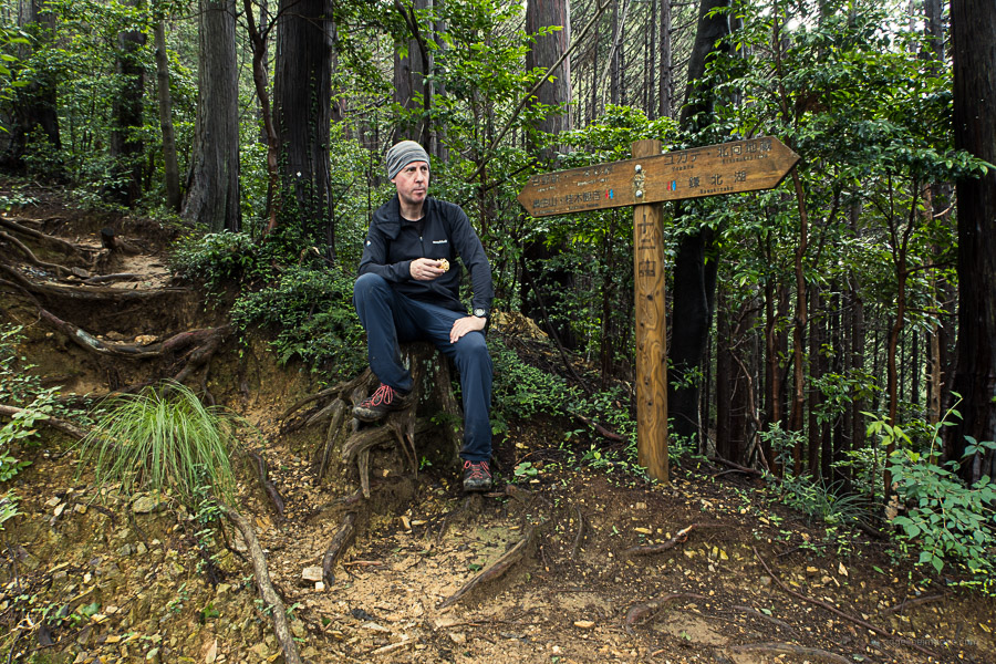
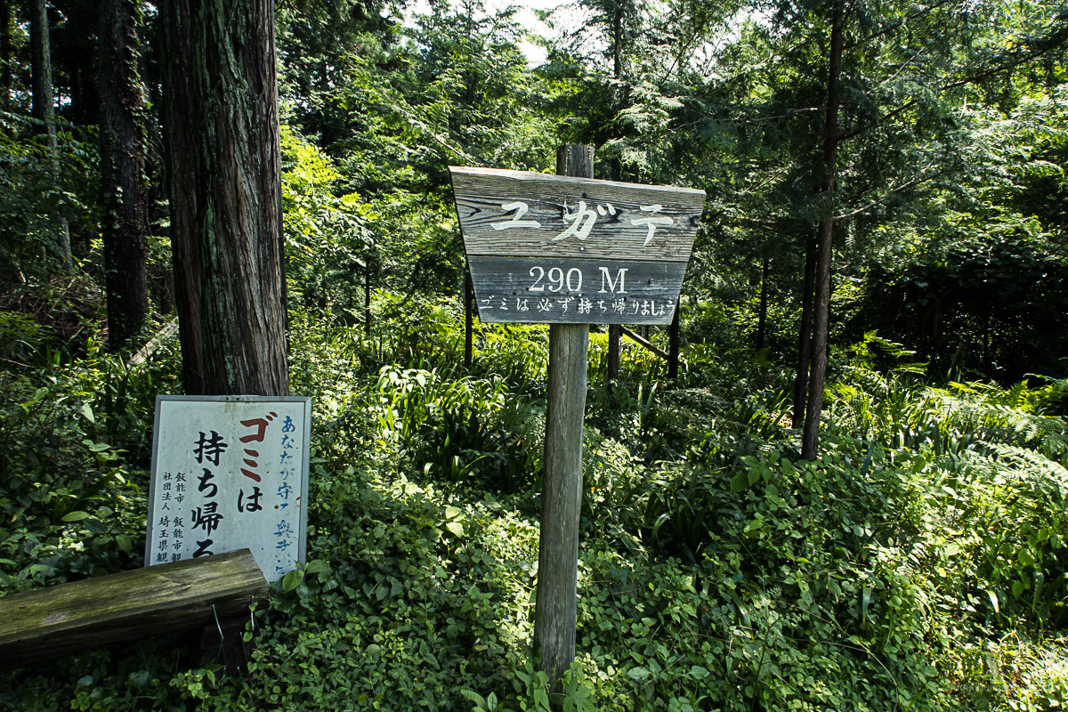
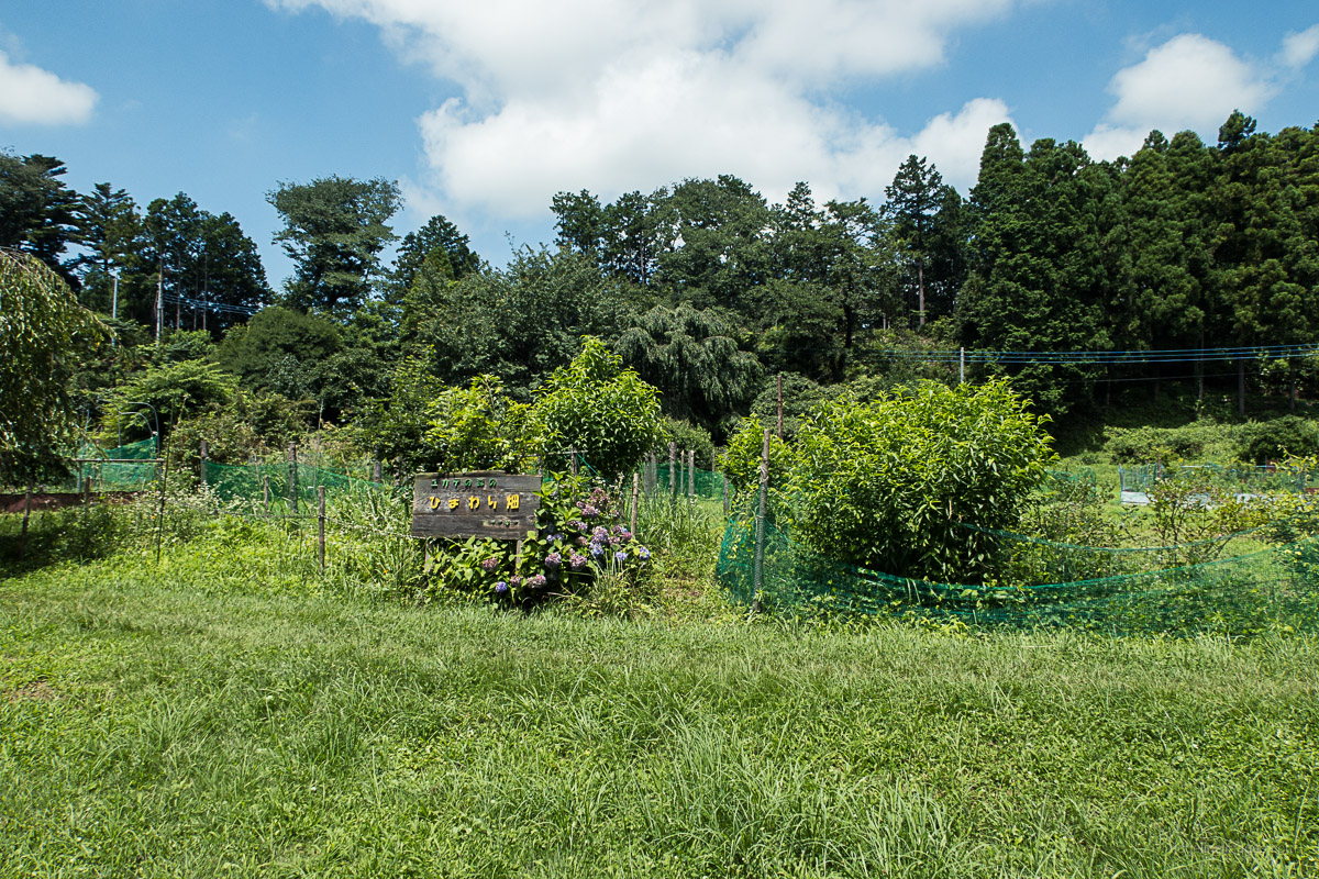
After wandering through the grounds, the trail resumes from the east side of the shrine. After 5 minutes there is a short side trip to the forested summit (no views) of Mt. Ogamiyama 越上山 (566 m). A little further along, the trail cuts across a road before arriving at a trail branch. Carry on in the direction of Yugate ユガテ a farmland meadow and popular sightseeing spot in the spring. The trail shadows and occasionally runs into the road below. The next trail junction to look out for is Ebiga saka エビガ坂. At Yugate, take a rest on the rough-hewn tables for a well-deserved lunch break.
For the final descent to Higashi-Agano Station, you can veer off to the right, which drops down to a road, or alternatively continue along the ridge in the direction of Agana Shrine 吾那神社 across the river from the station. At any rate, allow an hour or so to reach the station.


Hi David,
If you’re interested, another very good hike in this area is the Izugatake hike from Shomaru Station to Higashi Agano or Agano Station (no buses necessary). About 15 km. Some info (scroll to the bottom for course & key notes):
http://spice-cabinet.cocolog-nifty.com/blog/2009/08/a-ridge-walk-fr.html
Best,
Andy
Thanks for the tip Andy. I also noticed Gary D’A. Walters has a slightly shorter hike nearby that includes Mt. Tenkaku and Mt. Otaka from Higashi-Agano Station to Agano Station.
I haven’t done that one, so thanks for that, David. When I did the Koburi Pass hike a few years back, I found the open meadow area really nice, and quite unexpected. If I find any new hikes, I’ll pass them on from time to time.
Again, don’t know where to post :
If you haven’t been here, this is highly recommended — Jogashima seascape walking
https://excursionsjapan.com/2018/04/17/maguro-lovers-day-trip-to-misaki-port-jogashima/
This is basically a sightseeing walk, best taken slowly. You’ll need to research a bit to cover the many interesting spots (fresh tuna restaurants, lighthouses, Misaki port, rock formations like the back plates of a stegosaurus etc.) It’s a full day out, quite exhilarating in its way. I walked the shore route, then came back the cliffs route. Lots of web posts;
no photos on which do justice to how beautiful and varied the nature spots are.
I would be interested in checking out Jogashima someday. Based on the photos it looks like a sleepy fishing village with a rugged coastline coupled with some decent eats.
Thanks a lot David!
I managed to complete the loop with just following your clear instruction! 🙂
Thanks David. Good to hear it.
I took advantage of a Monday off and cooler weather to continue my series of hikes in Chichibu.
I caught a glimpse of Mt Fuji from Koburi Pass so that was nice.
Overall a fairly moderate trail, except for the side trip to Okamiyama that had some tricky rocks.
I took the route via Agana Shrine with very little time on roads for the return. Nice enjoyable start of fall hike on quiet weekday trails.