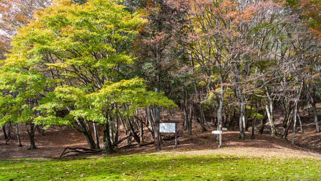
A Mossy Hollow Among the Beeches
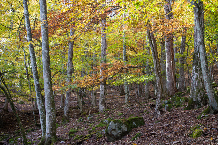
This loop hike visits Unotawa, a broad, open depression between Mt. Omochi 大持山 and Torikubi-toge, deep in Okumusashi. Surrounded by beech forest, it’s a particularly popular destination in November, when the autumn colours are at their best. Although usually approached as an out-and-back hike, Unotawa can also be visited on a loop. This less conventional route has a couple of important caveats: Yokokura Forest Road is officially closed to both vehicles and pedestrians, and the trail is faint and difficult to follow in places. It is best suited to experienced hikers.
Access
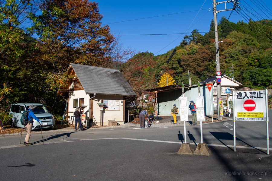
This is the same bus I used for my hikes to Mt. Warabi and Mt. Takegawa. If the weather is fine, expect it to be busy, particularly on weekends. I arrived around 20 minutes before departure, but there was already a sizeable queue for the first bus.
Route Description
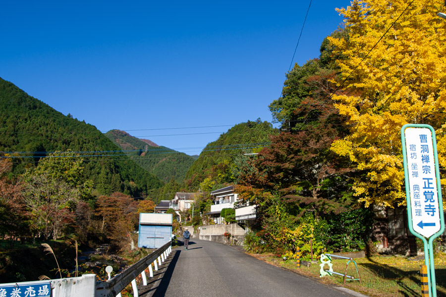
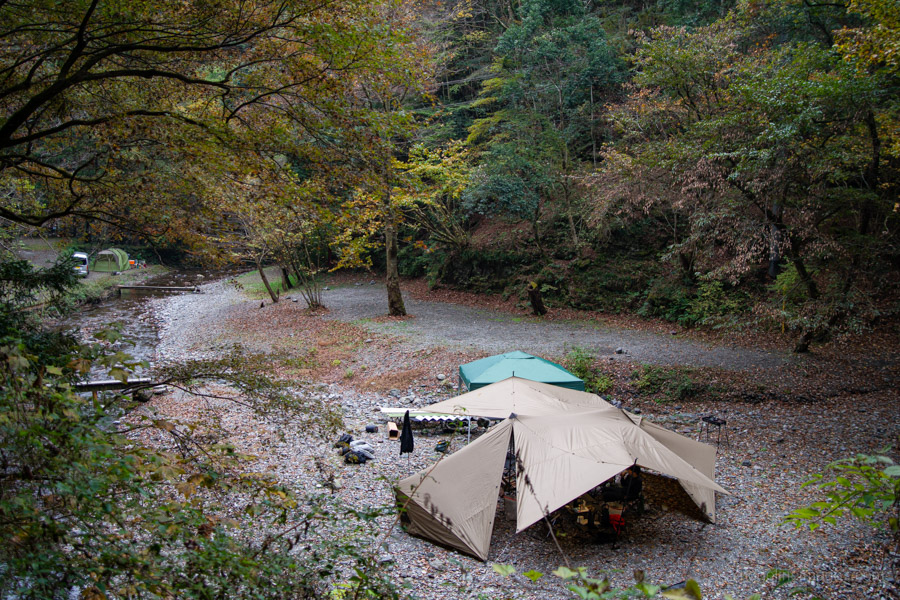
From the toilets at Nago bus stop, cross the bridge and walk past a row of vending machines. Follow the small stream, passing Obatoen Camping Ground 大鳩園キャンプ場, for about 1 km until the road forks. Take the right-hand road and continue for another 2 km to the junction with Yokokura Forest Road 横倉林道.
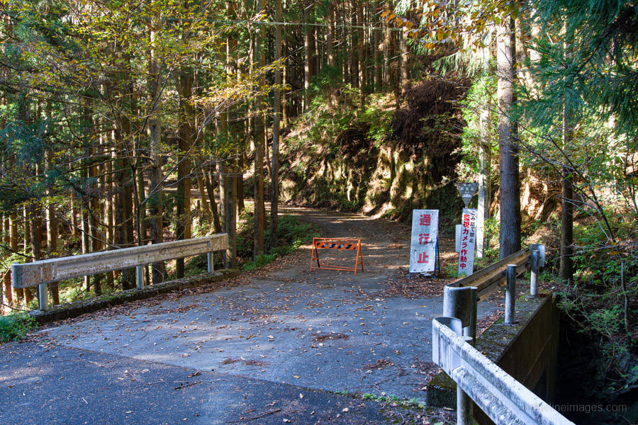
While researching the hike on Yamareco, I came across reports from other hikers saying that although the road was closed to vehicles because of rockfall, it was still passable on foot. However, Hanno City officially lists Yokokura Forest Road as closed due to road damage, with pedestrian access also prohibited.
I walked the road in mid-November 2026 and found it passable on foot, with no particularly hazardous sections. Conditions may change, so hikers should make their own assessment.
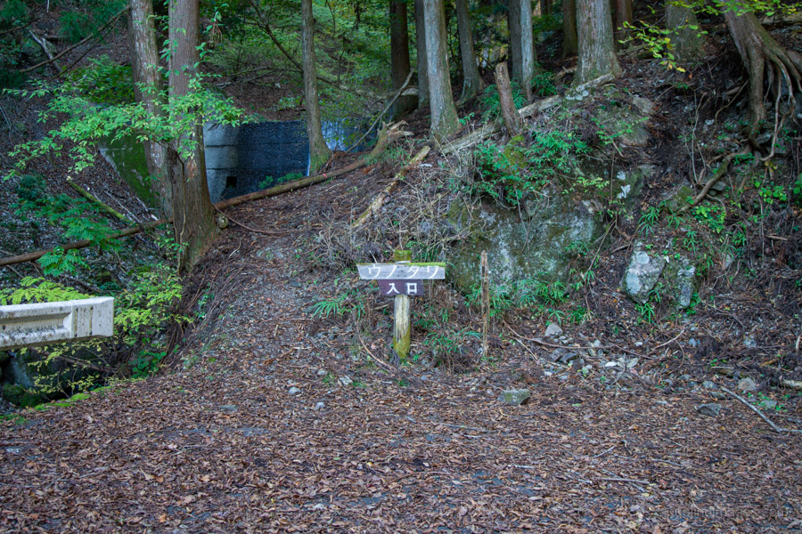
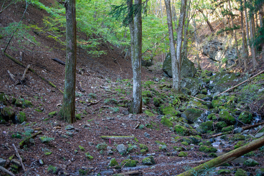
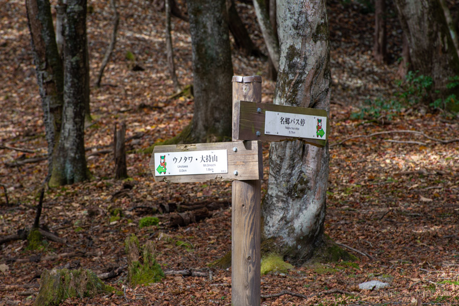
From the bus stop, it takes around an hour to reach the Unotawa trailhead ウノタワ入口. Beyond the forest road, the trail crosses the stream a few times before switchbacking steeply up towards the ridgeline. On this climb, the path becomes faint and difficult to follow, particularly when covered in fallen leaves. There’s occasional pink tape, but never when you really need it, and it’s easy to lose the track. You’ll need to keep a close eye on where you’re going, as the path and trail markers aren’t always easy to follow. I wouldn’t recommend this approach for inexperienced hikers.
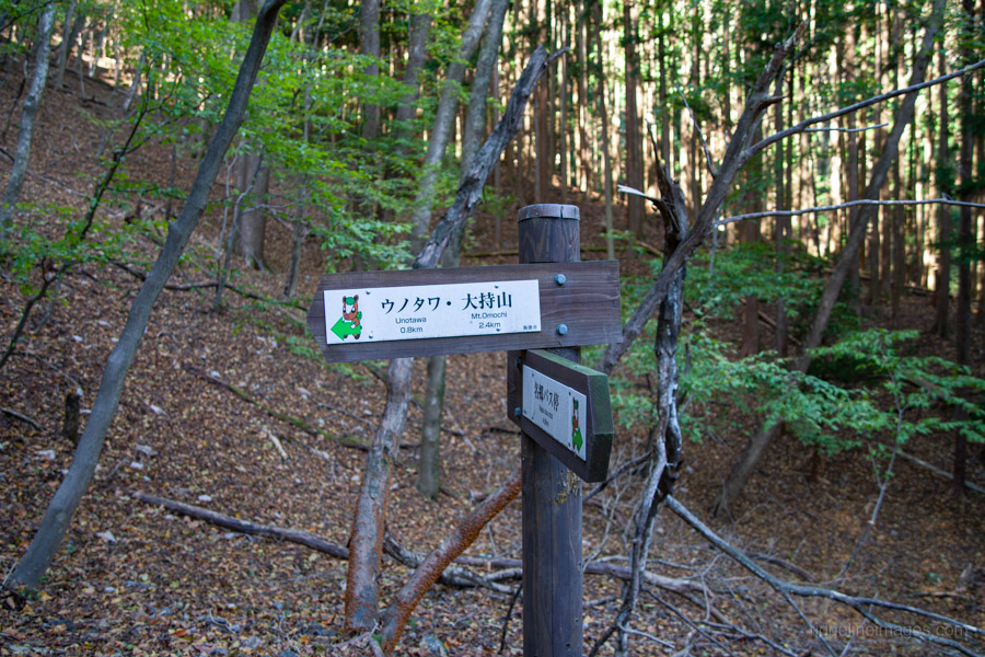
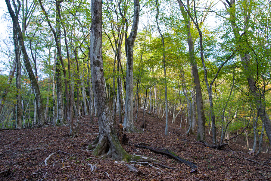
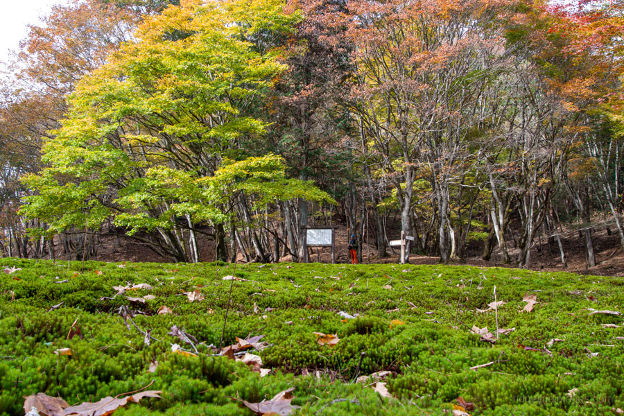
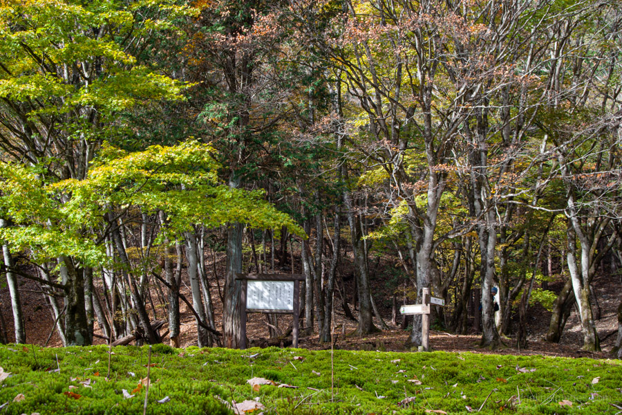
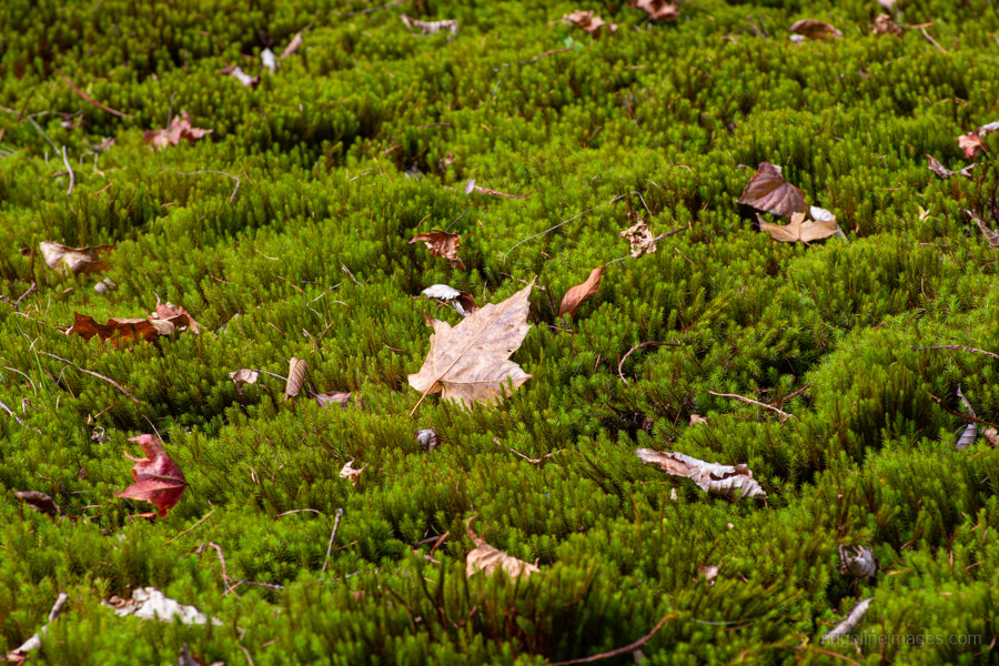
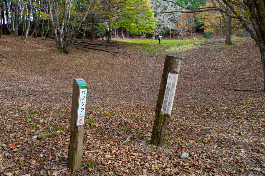
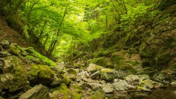
Once you reach the ridgeline, it’s a short walk to Unotawa ウノタワ (1,070 m). The former swamp is now a broad, moss-covered hollow nestled along the ridge, with clusters of beech trees that put on a colourful display in autumn. It’s a beautiful spot to stop and relax. Several other hikers were enjoying the setting when I visited, and it’s certainly somewhere I plan to return to. Unotawa is also part of the Okumusashi Long Trail 奥武蔵ロングトレイル.
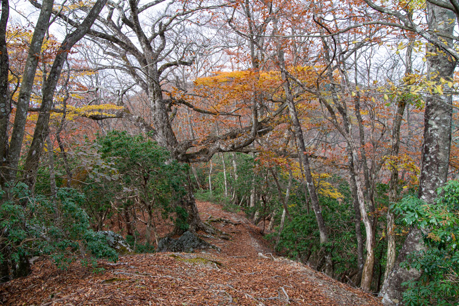
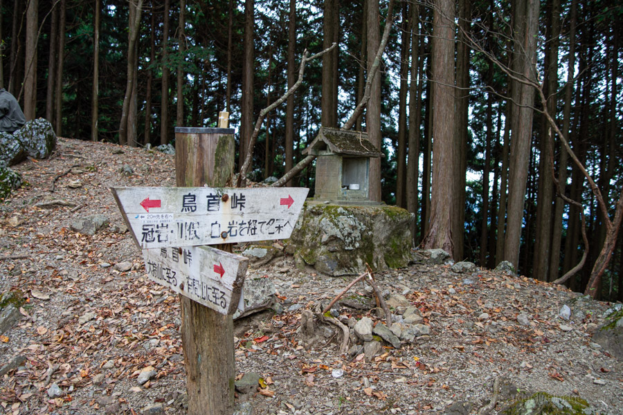
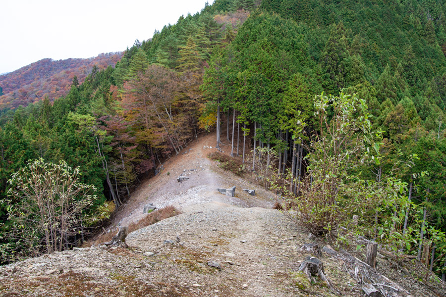
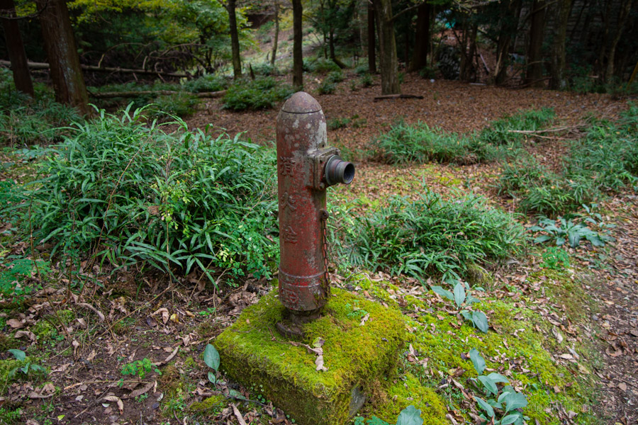
Leaving Unotawa, the route follows the ridge towards Mt. Tenjin 天神山, with some lovely autumn colours along the way, before descending to Torikubi-toge 鳥首峠, an open, treeless saddle. From the pass, the trail drops steeply through plantation forest and past the remains of an abandoned settlement, where a few dilapidated wooden houses from the area’s mining days are still standing.
After reaching the paved road, follow it alongside the river, passing another campground, back to the fork and on to the bus stop.