.
Tengu-iwa 天狗岩 – Mt. Tsutaiwa 蔦岩山 – Mt. Futago 二子山
Distance: 11.4 km
Elevation change: 722 metres
Highest point: 1052 metres
Start: Nago Bus Stop
Finish: Ashigakubo Station (Seibu Chichibu Line)
Difficulty: ▅▅▅▅▅▅▅▅▅▅ ❸
Map: Yama to Kogen Chizu 山と高原地図 [No.23 奥武蔵・秩父 OKUMUSASHI·CHICHIBU]
GPX TrackKML TrackGSI MAPPDF Topo Map
Mt. Takegawa to Mt. Futago: Ridge Hike in Okumusashi
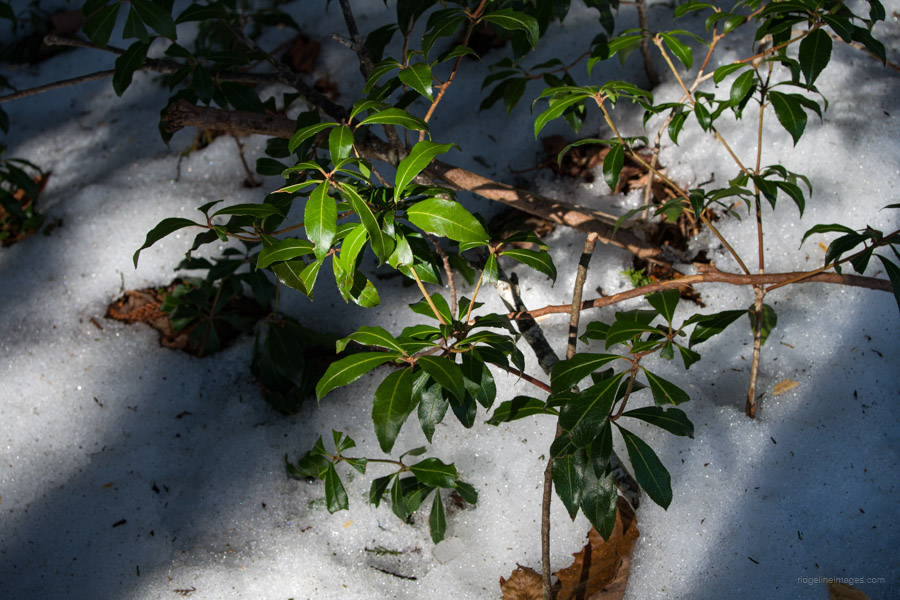
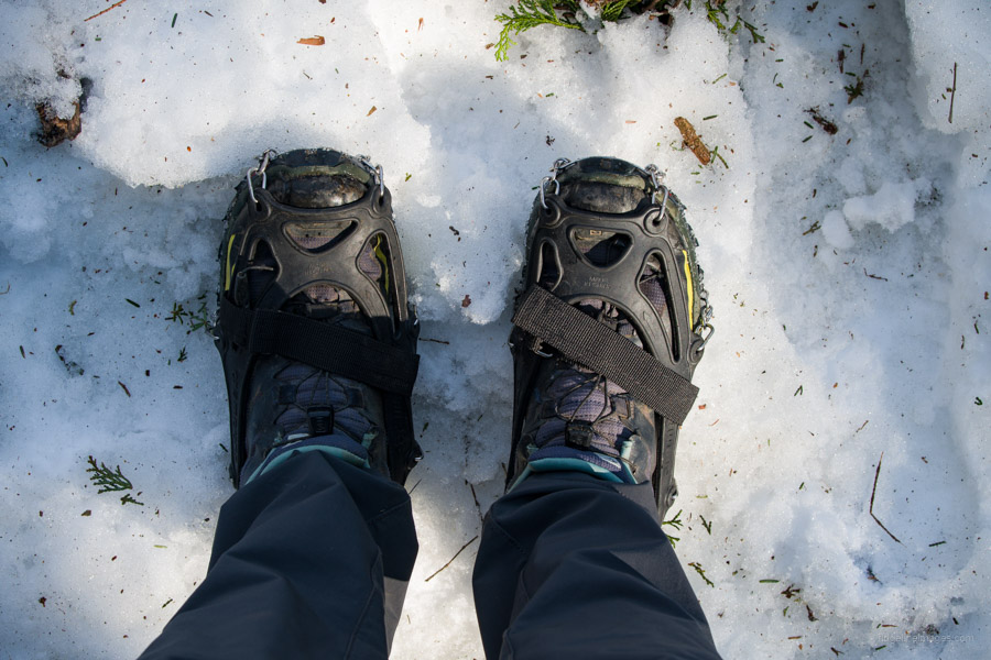
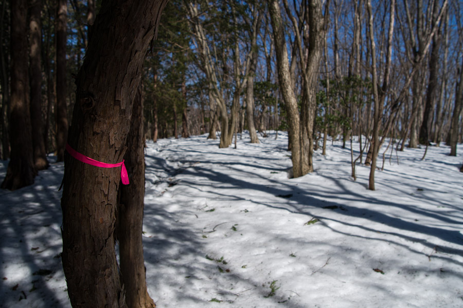
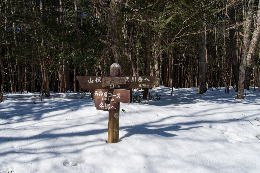
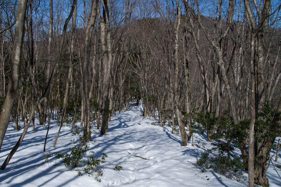
Mt. Takegawa straddles Hanno and Yokoze cities, Saitama Prefecture. It is located deep in the heart of an area known as Okumusashi. The area is dotted with quiet trails that overlook the symbol of Chichibu, Mt. Buko. This winding ridgeline trail is about 11 km long, covered in deep forest, though it still affords several good viewing spots. Due to the relatively low elevation, it is best avoided in the summer. In winter or early spring, it is recommended to bring microspikes due to several steep shaded slopes. The signage isn’t particularly good so make sure to carry a GPS device.
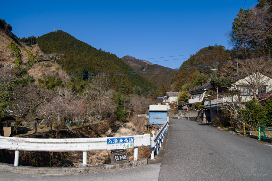
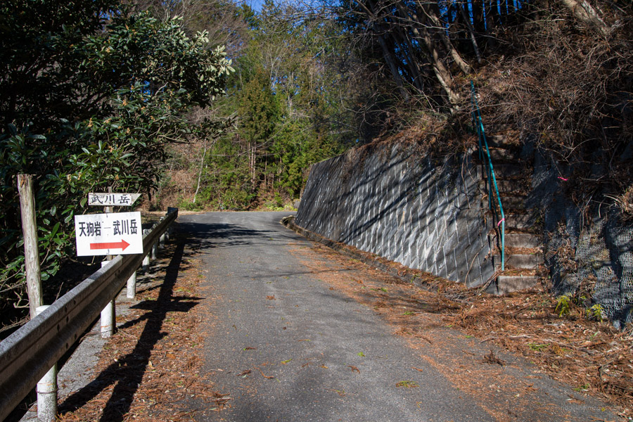
In a similar vein to the Mt. Warabi hike, take a bus to Nago 名郷 (55 minutes, 870 yen) from bus stand 3 north exit of Hanno Station 飯能駅. From the restrooms at the Nago Bus Stop, head over the bridge and past some vending machines. Continue along a small stream, turning right when you see a sign for ‘Minshuku Nishizanso’ 民宿西山荘 and look out for a signpost for Takegawadake 武川岳. After climbing the stairs, you come to another road where you turn right, which brings you around to the trailhead proper. The hike from the bus stop to this point takes about 25 minutes.
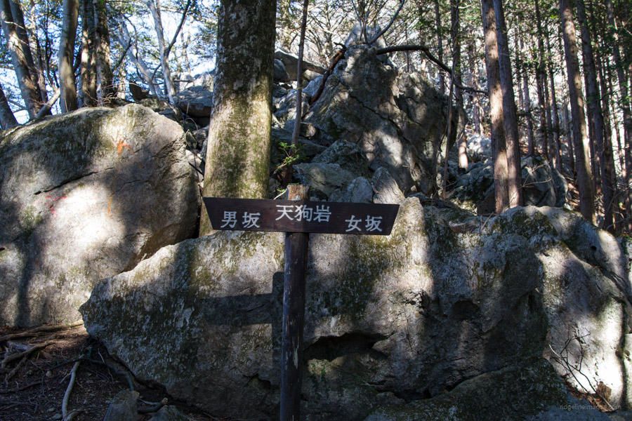
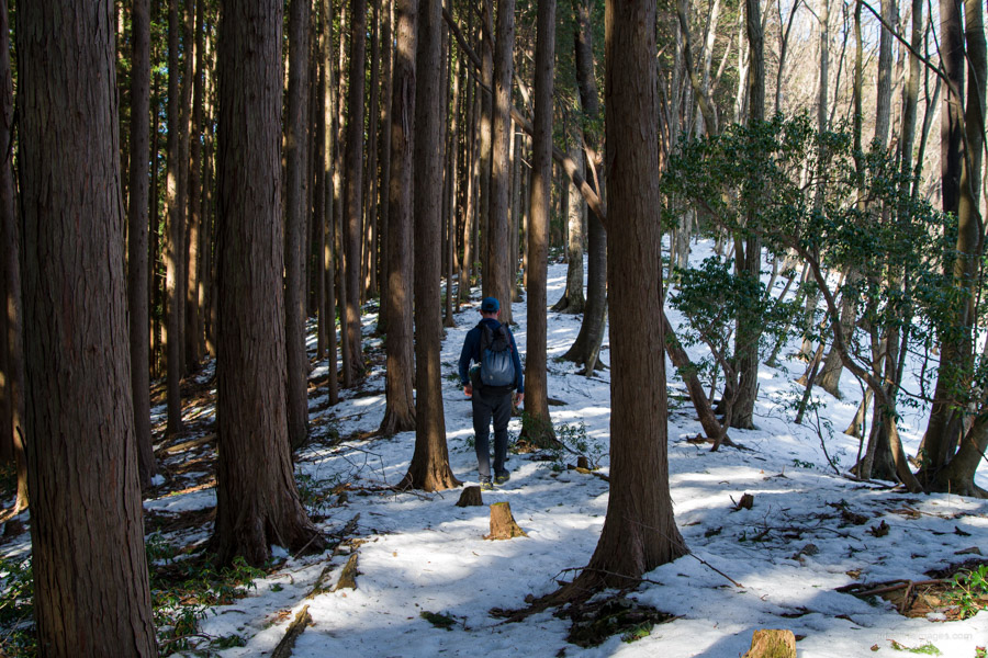
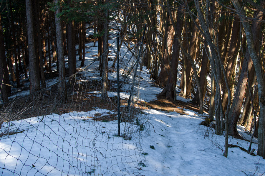
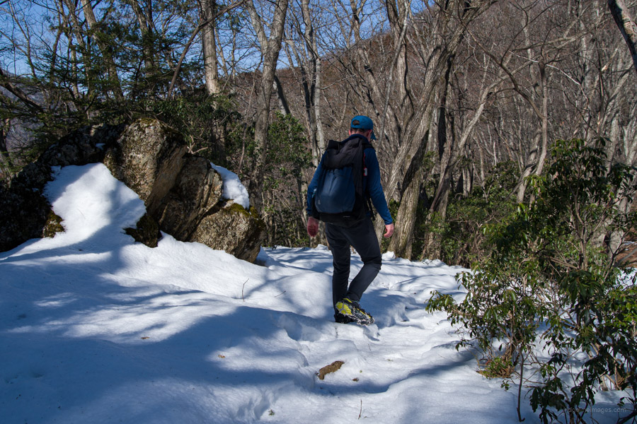
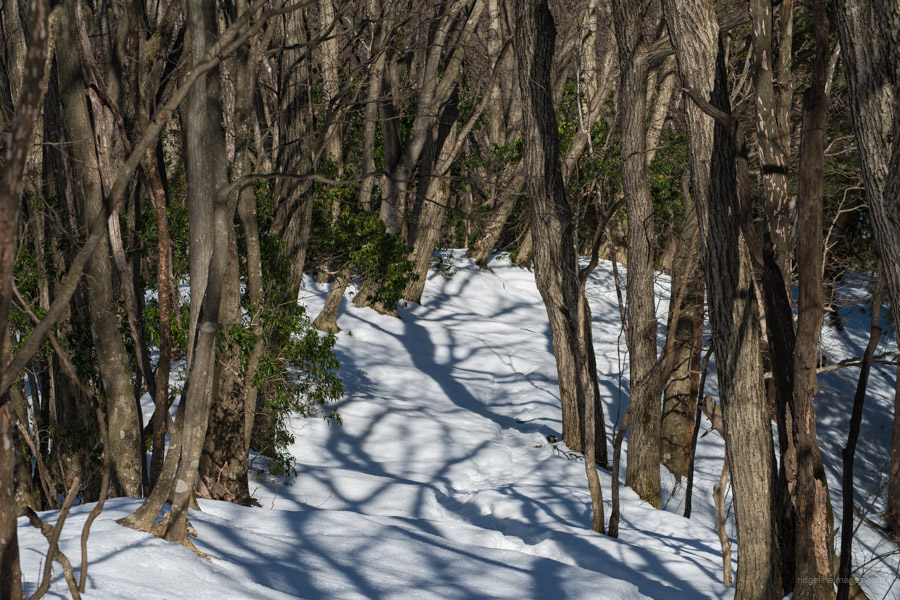
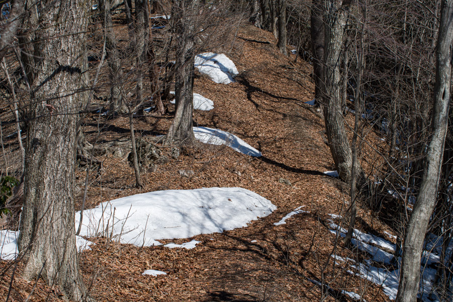
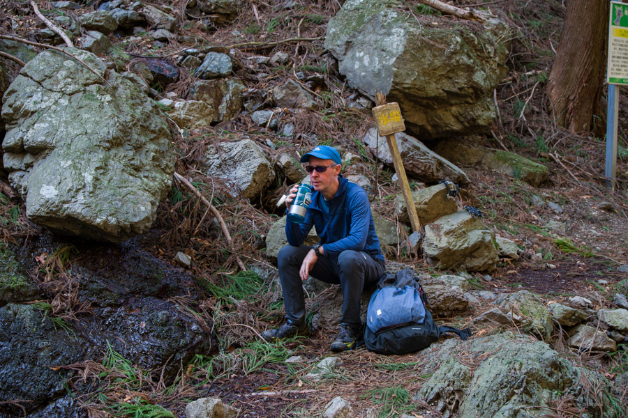
The mountain trail is surrounded by cedar trees, leads to another road that you cross momentarily. A short distance further, there is a fence section cordoning off a limestone quarry. After a slight incline, you will come to the junction of the Otoko-zaka (男坂 – male) and Onna-zaka (女坂 – female) trail branches. The Onna-zaka is the easier but longer of the two slopes. Take your pick, as they meet further up at Tengu Rock 天狗岩. Reaching the ridgeline again, I finally put on my microspikes, and after walking for about 50 minutes, you will arrive at Mt. Mae-Takegawa 前武川岳 (1,003 m). There are a couple of benches to take a rest on, along with the trail that comes up from Yamabushi Pass 山伏峠 to the east.
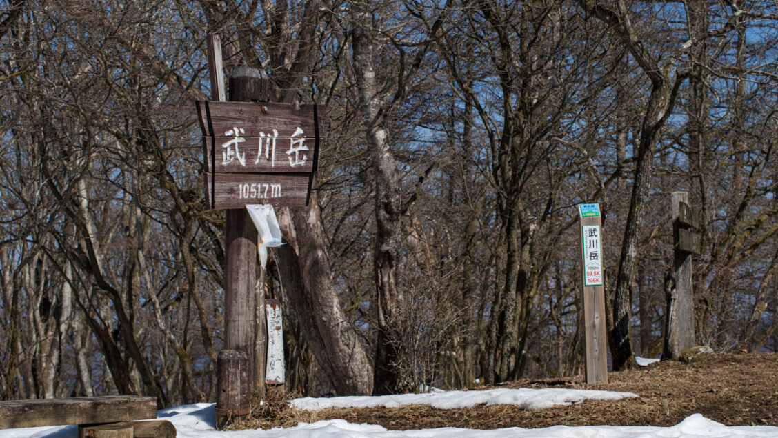
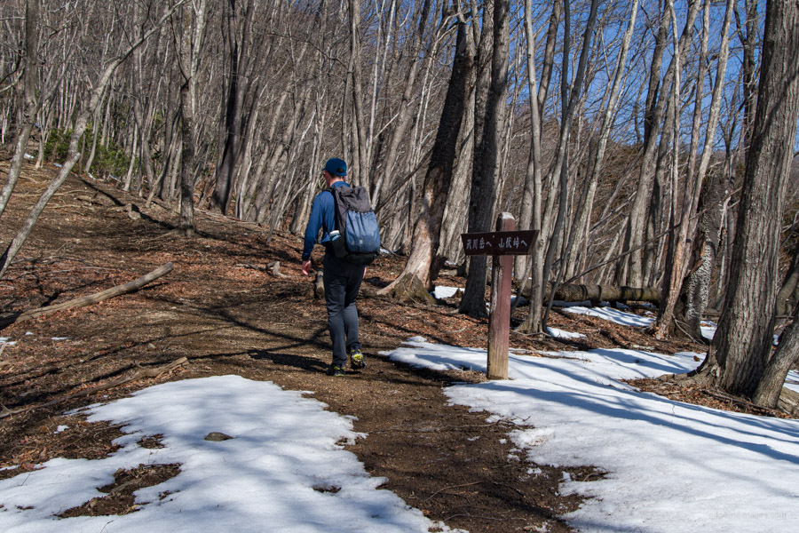
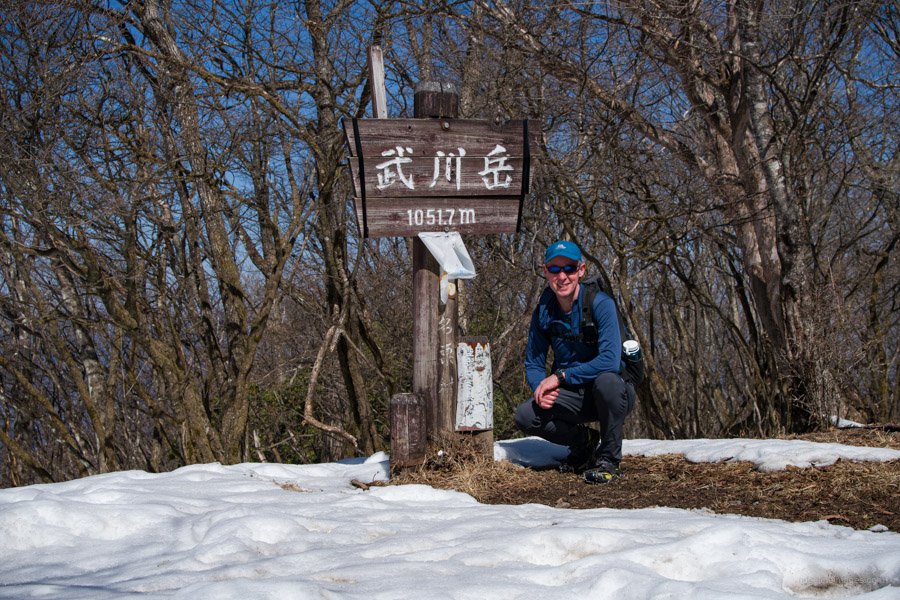
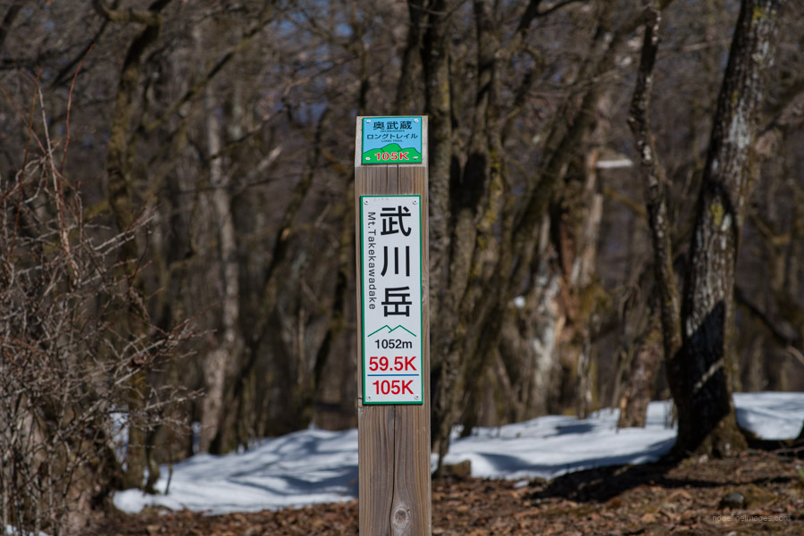
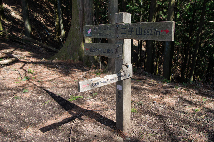
Next up a short distance away is Mt. Takegawa 武川岳 (1,052 m). This unassuming mountaintop has more benches to rest on, and there is also a signpost noting the Okumusashi Long Trail 奥武蔵ロングトレイル which passes along here. The mountains of Tanzawa and Okutama can be seen in the distance. For those looking to extend the hike, it is also possible to combine it with a neighbouring Mt. Buko. Otherwise, begin heading downhill in the direction of Mt. Futago.
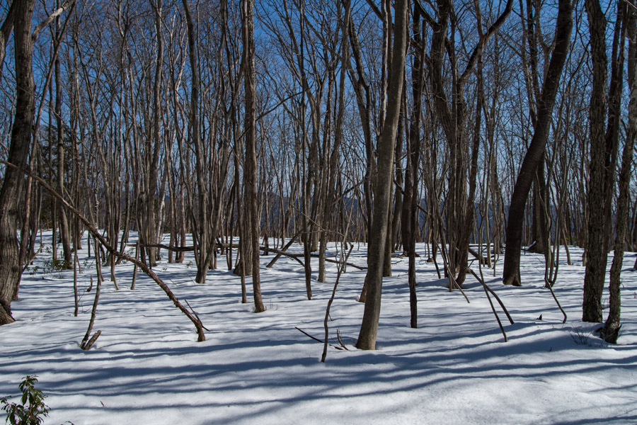
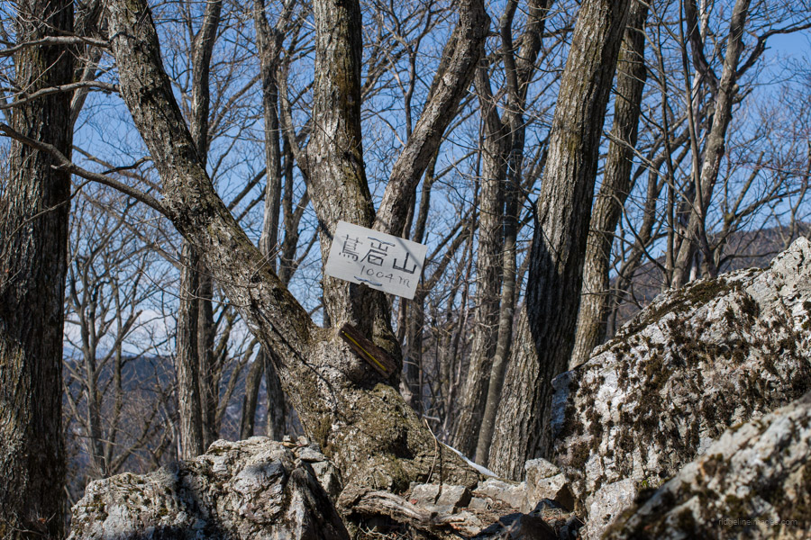
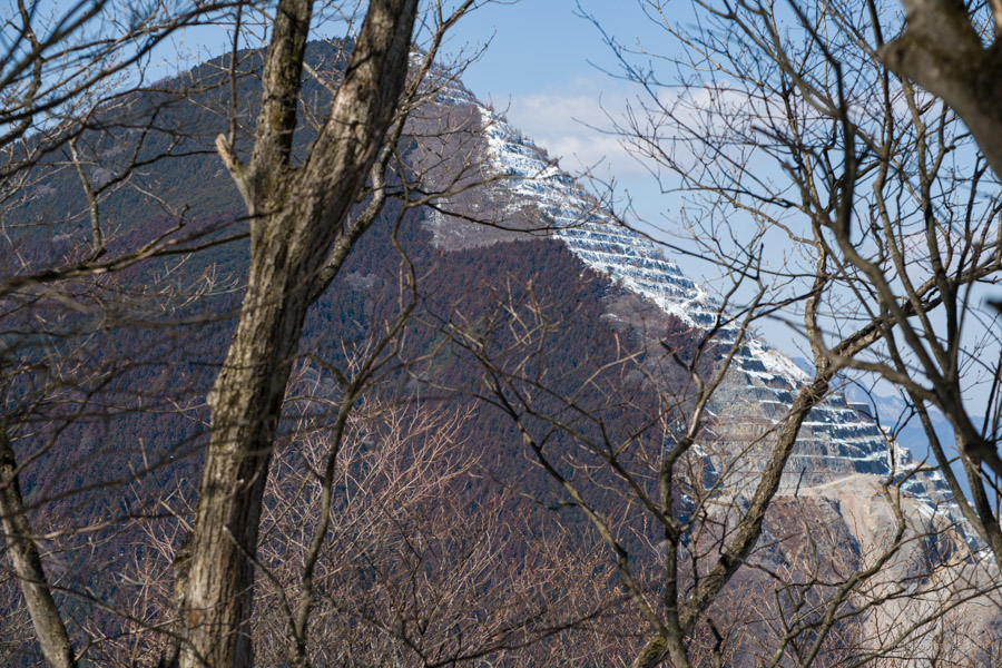
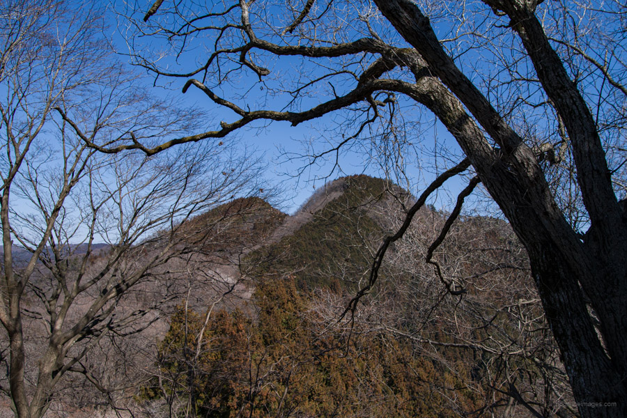
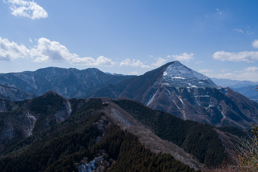
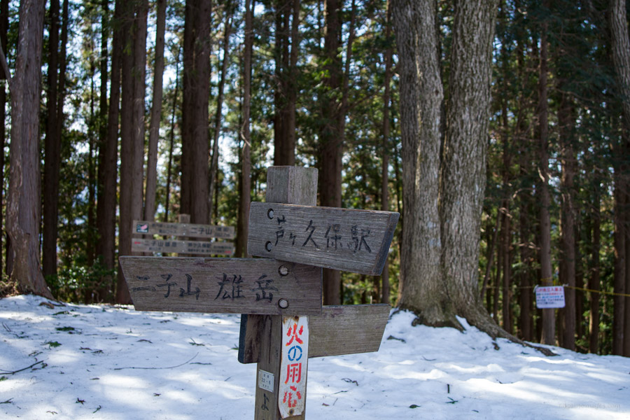
There are two Futagoyamas in Chichibu. The one you are heading towards is sometimes referred to as Mt. Yokoze-Futago 横瀬二子山, while the other is located in Ogano Town. From here, you follow a gently undulating trail where you pass Mt. Tsutaiwa 蔦岩山 (1,004 m), just a small peak jutting out on the ridgeline. To the right, the snow-covered Mt. Takegawa looks mighty impressive, and to the left, Bukosan can be made out through the vegetation.
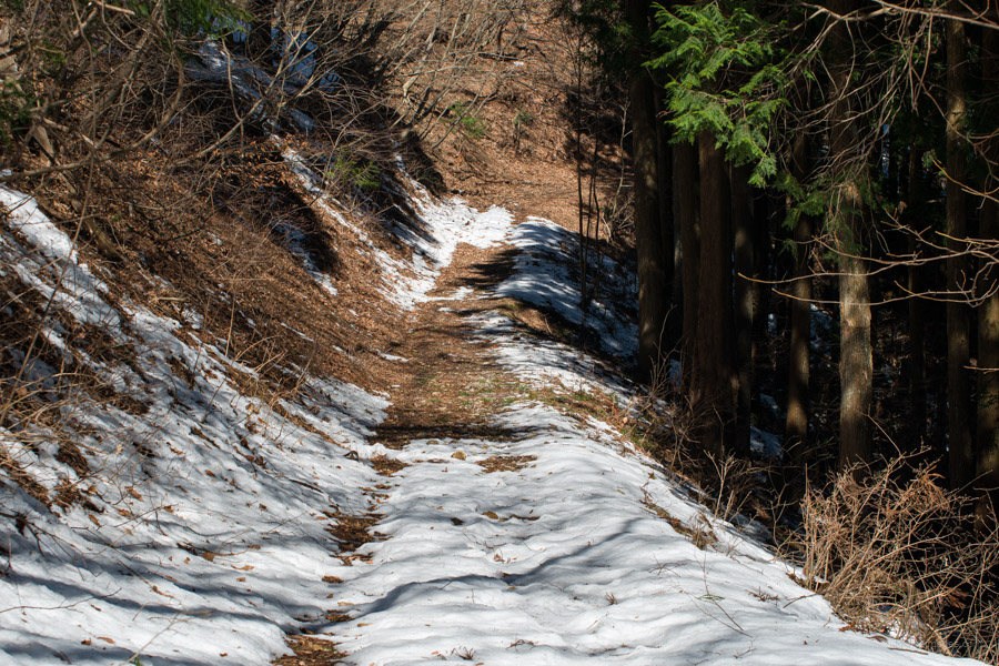
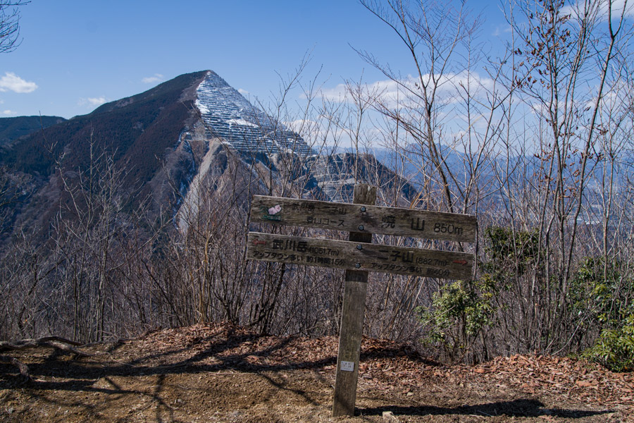
A little after here, part of the ridge has collapsed, requiring you to walk a short distance along a forestry road. Where the road juts around to the left is Yakiyama-toge 焼山峠, and the cityscape of the Chichibu Basin spreads out in front of you. Beware, a short distance down the road the mountain trail splits off from the forest road and begins to climb in altitude again up to Mt. Yake 焼山 (850 m) with a stunning view of Mt. Buko.
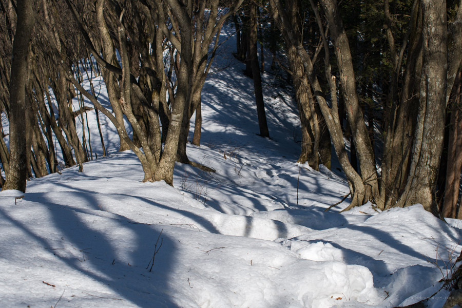
The slope directly below Mt. Yakeyama is quite steep, so tread carefully, particularly in the snow. The twin summits of Mt. Futago 二子山 (882 m) and Mt. Futagoyamame-dake 二子山雌岳 soon come into view. From here, it’s up and down, including several steep climbs. Mt. Futago is located to the left, but before that, there is a rock with a great view on the opposite right, so be sure to stop by there first. From the top of the rock, you can see a panoramic view of the ridgeline that you hiked up and even the Tokyo Skytree in clear conditions.
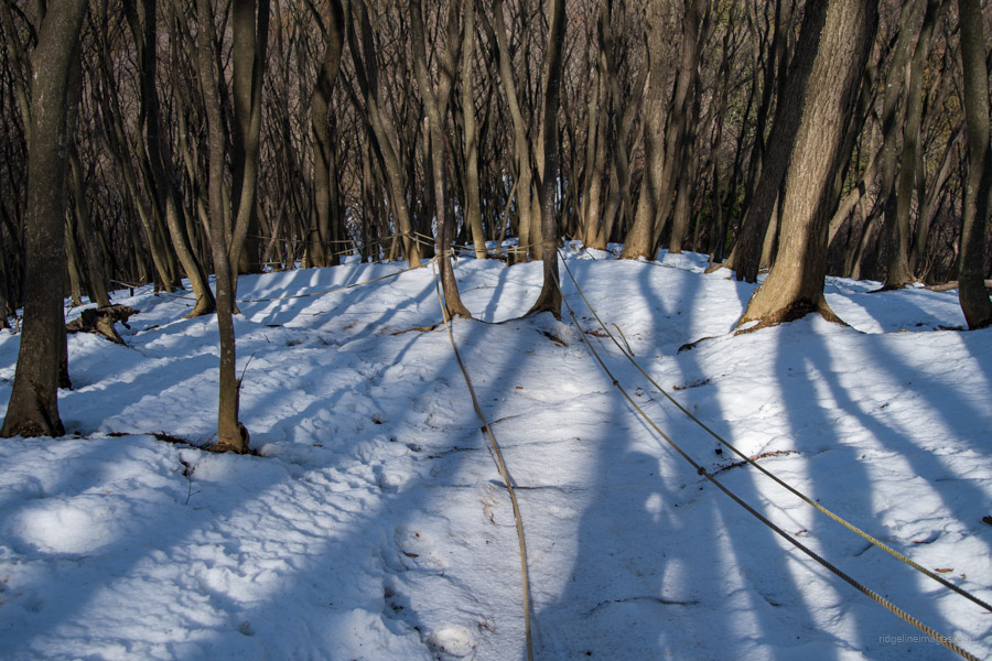
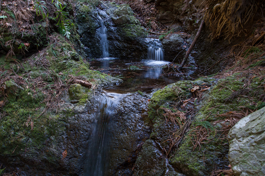
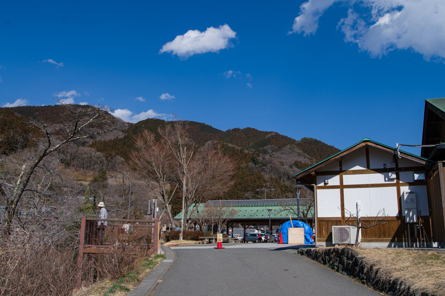
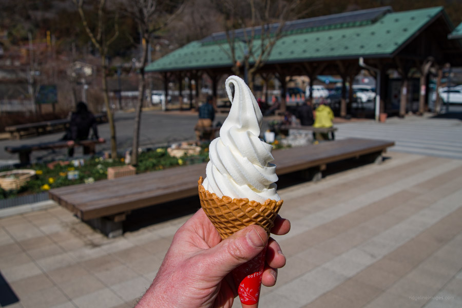
The final mountain along the ridgeline is Mt. Futagoyamame-dake, though without a view due to being surrounded by trees. There used to be two routes from this summit to Ashigakubo Station 芦ヶ久保駅; however, the ridge trail has been roped off. What lies ahead starts with a very steep descent, though helped with ropes. Even with the microspikes and fixed ropes, it was slow going and difficult to maintain traction. Along the way, you will leave the ridgeline and begin to heading towards the valley floor through Japanese larch or karamatsu plantation forest. When you hit the bottom of the valley, you will cross a stream and a waterhole. From here on, it’s a pleasant trail along a stream and through a tunnel to Ashigakubo Station, where you can indulge in a well-deserved ice cream!


That’s nice, David.
The twins are a couple of peaks that I put on my bucket list the first time I saw them. They are cool looking. I still haven’t done them, though. Buko is cool looking, too. I remember the first time I saw it. I was on my scooter on my way to another mountain and was really blown away and intrigued by it.
Stay safe
Thanks, Pat!
I completely agree. The first time I saw Bukosan, I was on my way to climb Kumotoriyama and was struck by a mountain that had definitely seen better days.
Would you be able to camp off the trail somewhere along this trail? I don’t quite understand whether this is enforced or they let it go if you’re not in the way.
In short, yes. While camping outside of designated areas is discouraged, it is not illegal. Just ensure you arrive late enough in the day that most hikers have moved on, and avoid lingering around in the morning.