.
Warabiyama Lookout 蕨山展望台 – Mt. Fujidana 藤棚山 – Konpira Shrine ruins 金比羅神社跡
Distance: 9.6 km
Elevation change: 664 metres
Highest point: 1044 metres
Start: Nago Bus Stop
Finish: Nolla Naguri Sawarabi Onsen Bus Stop
Difficulty: ▅▅▅▅▅▅▅▅▅▅ ❸
Map: Yama to Kogen Chizu 山と高原地図 [No.23 奥武蔵・秩父 OKUMUSASHI·CHICHIBU]
GPX TrackKML TrackGSI MAPPDF Topo Map
A Relaxing Ridge Hike in Oku-Musashi
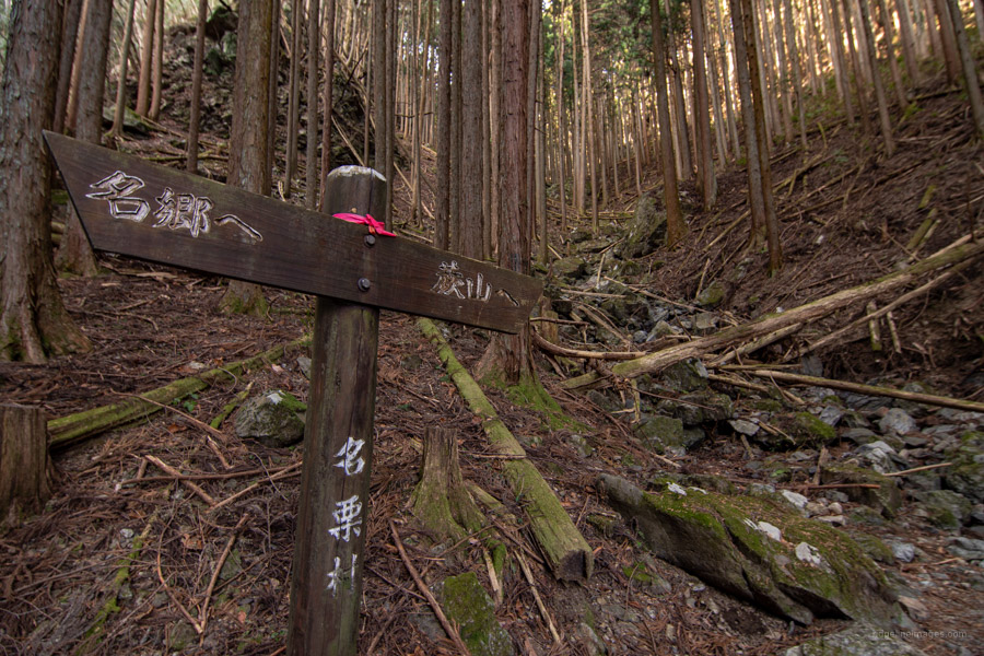
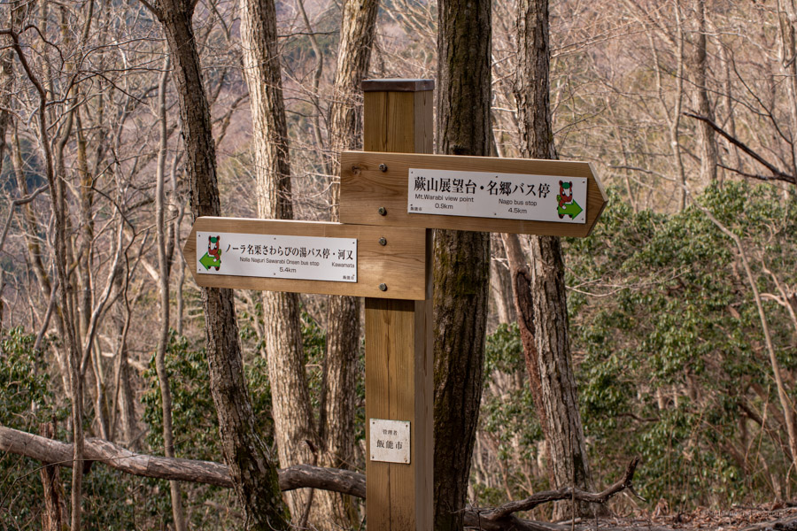
Mt. Warabi is a popular Okumusashi peak in southwestern Saitama that rises above Lake Naguri not far from Bonooreyama. There are numerous approaches to the summit including a long hike in from Mt. Kawanori to the south. The most well-worn path is an out-and-back hike or piston from the Sawarabi-no-yu hot spring but if you’re looking for something in between, start from Nago as on this hike and descend via the Konpira Ridge with a well-deserved soak at the end. A great time to enjoy the hike is in the spring with mountain cherry blossoms and mitsuba-tsutsuji (azaleas) in bloom. The trail is well sign posted especially along the Konpira Ridge.
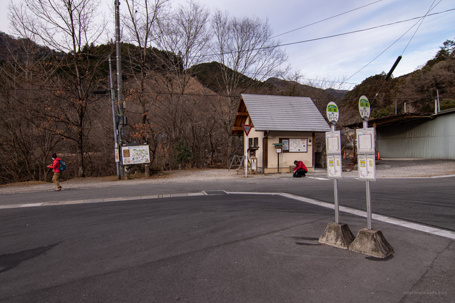
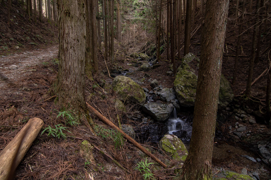
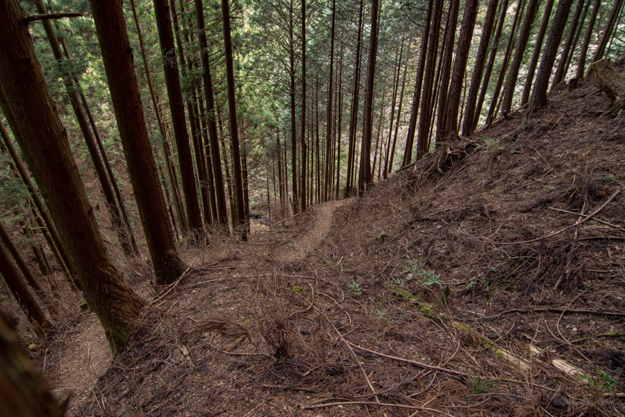
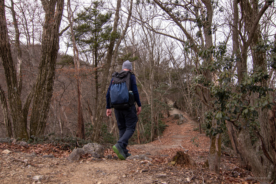
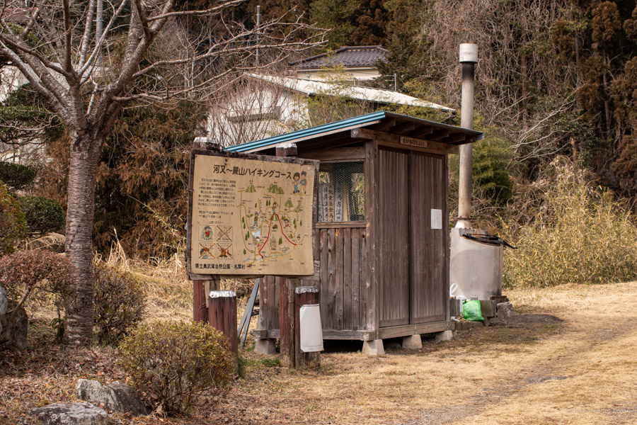
The nice thing about Warabiyama is only having to ride the train to Hanno on the outskirts of Tokyo the not-so-great are long connecting bus rides to and from the respective trailheads. From Hanno Station 飯能駅 take a bus to Nago 名郷 (55 mins, 870 yen) from bus stand 3 north exit. There was a fair crew lined up for the first bus that departed at 7:10 am which isn’t surprising since it also caters to hikers headed to Bonooreyama. From the restrooms at the Nago Bus Stop head left, cross the Warabi Bridge and walk 20 minutes along the forestry road to reach the trailhead proper. The trail passes over a stream with an initial steep climb, becoming more gradual as you draw nearer to the ridgeline.
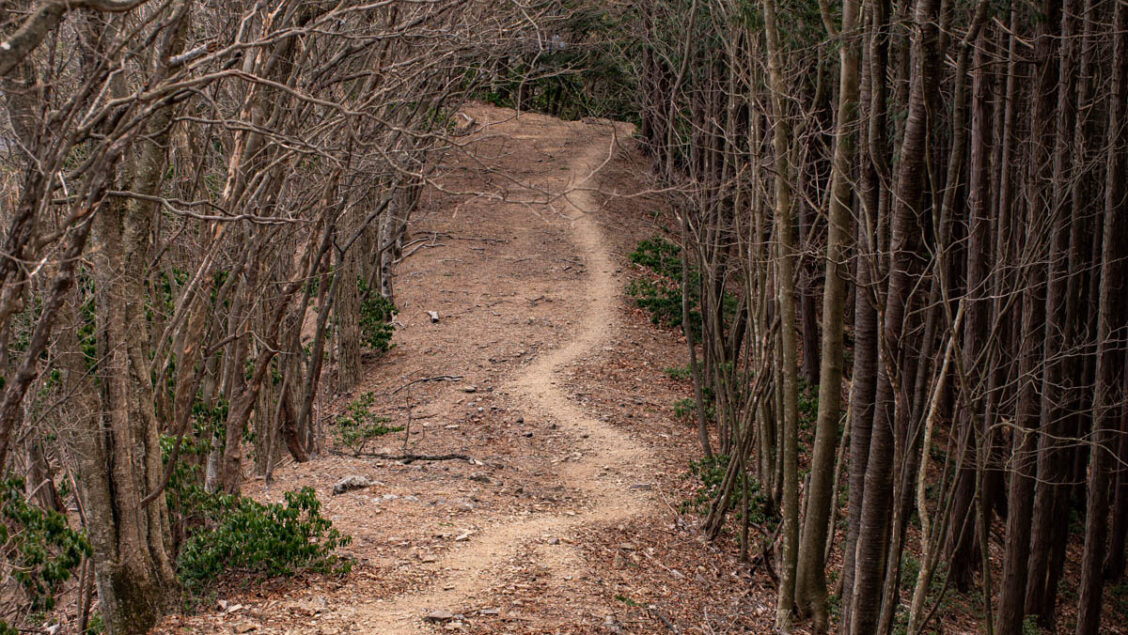
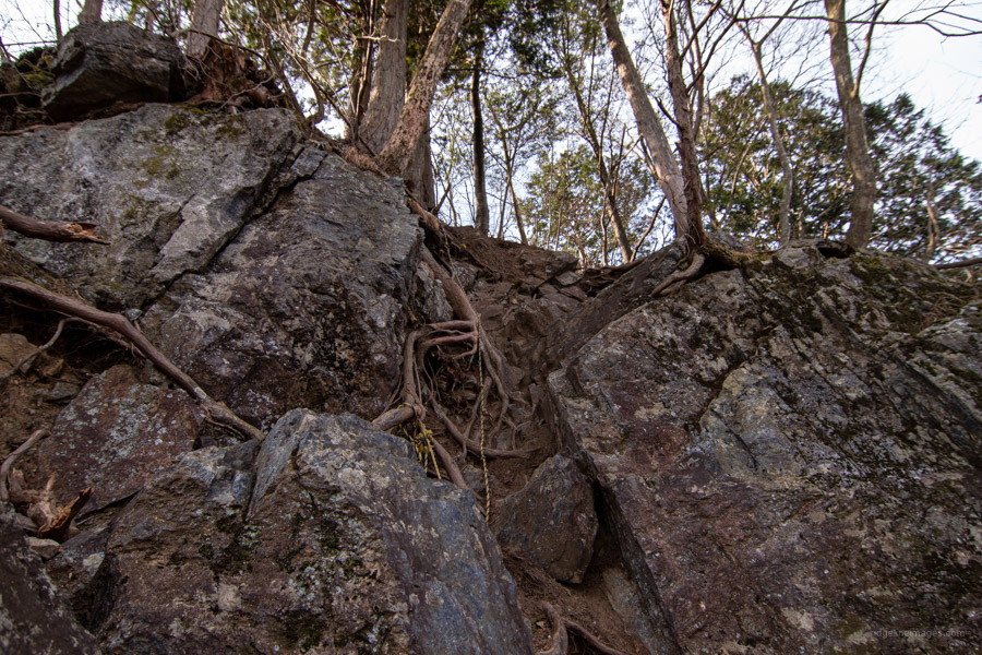
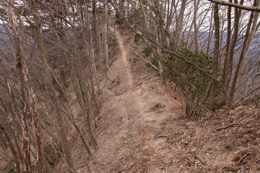
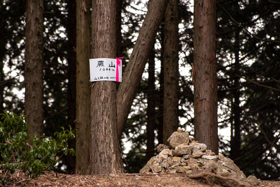
First up along the scenic ridge with a fine panorama to your right is a minor rock scramble. The exposure level is in a similar vein to the ishi-ba 岩馬 a little further along. While marked as a hazard on the map it’s nothing untoward provided you take your time. More of a concern is the loose gravelly trail surface. In case you need a rest there are a few benches dotted on the ridge. At the trail branch veer right 100 metres to reach the true summit of Mt. Warabi 蕨山 (1,044 m).
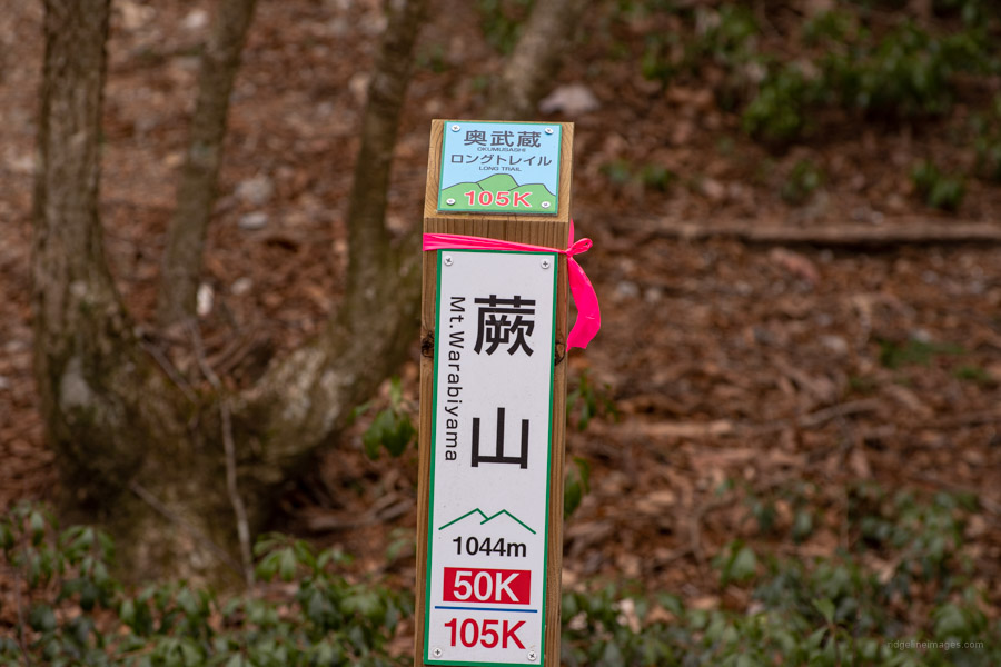
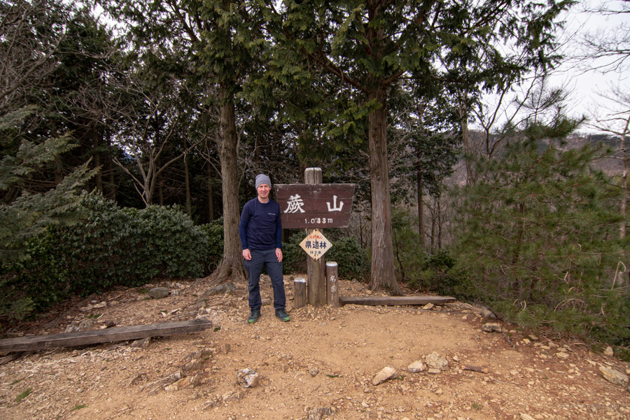
The highest point lacks a view and is denoted by way of a simple rock cairn and a handwritten sign. Many folks understandably bypass this minor knoll and head directly to the Warabiyama Lookout 蕨山展望台 (1,033 m) which is generally considered to be the summit. It appears the authorities botched the elevation on the signpost based on the wonky last two digits! At any rate enjoy a super view in the direction of Mt. Izugatake and Mt. Maruyama. Mt. Warabi rests along the ‘Okumusashi 105’ aka Okumusashi Long Trail which follows the Konpira Ridge 金比羅尾根 to the Arima Dam.
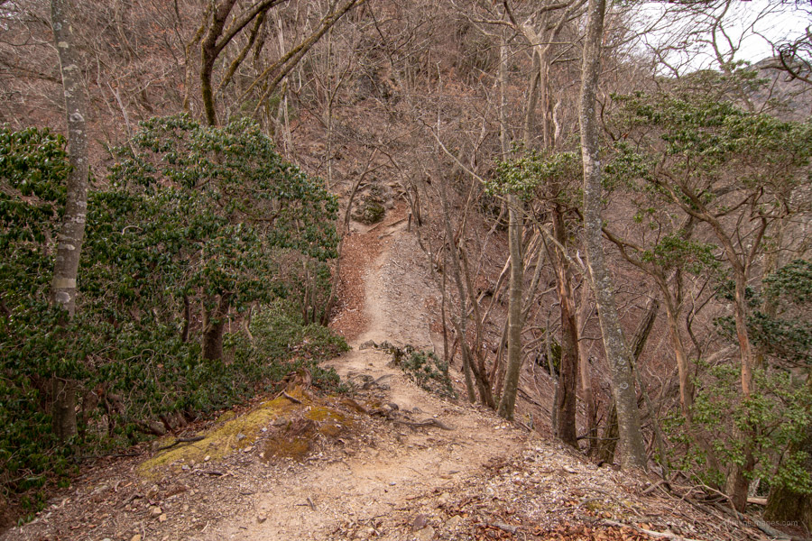
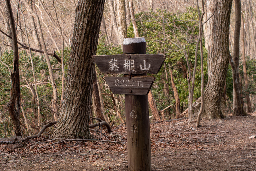
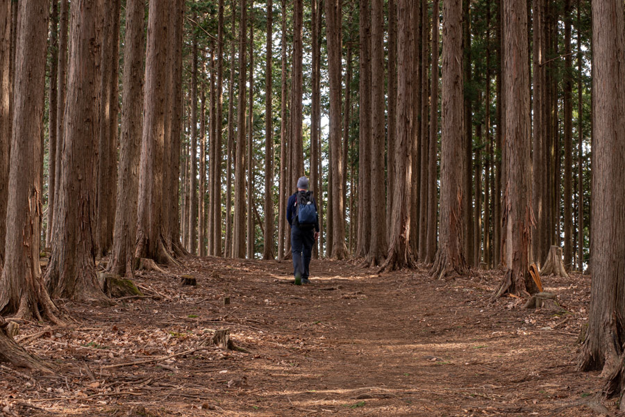
After resting up begin the 6 km descent which sets off from the east side of the summit. Aside from the initial sharp drop you can see why this route is the preferred way to Warabiyama. The gentle undulating ridgeline is reminiscent of the trail between Mt. Takao and Mt. Jinba making it popular with trail runners. First landmark to arrive at is Mt. Fujidana 藤棚山 (920 m) an unremarkable mountaintop easily overlooked if it wasn’t for a signpost. The plantation and broad-leaved forest belts occasionally open out to the surrounding mountains.
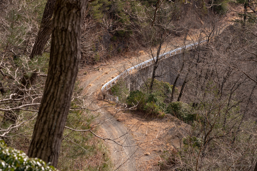
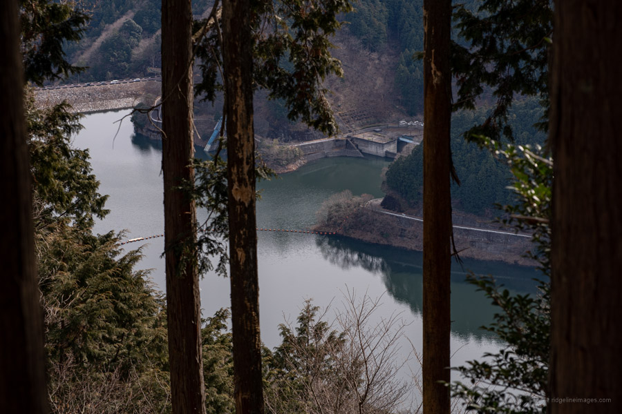
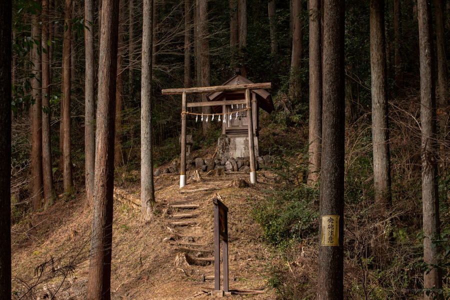
Just after Oyoke-no-atama 大ヨケノ頭 (771 m) the trail crosses a forestry road before reaching the Konpira Shrine ruins 金比羅神社跡. A newer iteration of its former self can be found at the trailhead. Mt. Konpira 金比羅 (660 m) can be bagged via a detour and Lake Naguri 名栗湖 is glimpsed through the vegetation. The trail exits to the side of a cemetery and the Sawarabi-no-yu hot spring さわらびの湯 (3 hrs, 800 yen) is right in front of you on the other side of the road. From the Nolla Naguri Sawarabi Onsen Bus Stop ノーラ名栗・さわらびの湯 you can return to Hanno Station (45 mins, 630 yen).


After a rain, the little waterfalls of Oyoke and Koyoke are worth checking out from Lake Arima, though admittedly not the best in the region either.
Thanks for the suggestion. I passed the Koyoke Falls along the Arima River many years ago before tackling the Sengaku Ridge up to Mt. Bonomine. And remember the Naguri canoe atelier too. Wonder if it is still kicking around.
Nice area. It’s a bummer it’s so hard to get to.
Isn’t it, particularly as you need to ride buses from both trailheads. Having said that the trail up from Nago doesn’t see much foot traffic – always a nice bonus.
Loved this. Did it today 4/21. Wisteria in full bloom all around. One note, the bus we took from Nago at 7:54 am was at bus stop 2/3 (not 1). This was the end of the line. Lots of people got off for the Tori Kannon. We’ll definitely be back. Thanks for the great hike!