.
Sogaku Ravine 惣岳渓谷 – Lake Okutama 奥多摩湖
Distance: 9.7 km
Elevation change: 190 metres
Highest point: 540 metres
Start: Okutama Station (Ome Line)
Finish: Okutamako bus stop
Difficulty: ▅▅▅▅▅▅▅▅▅▅ ❶
Map: Yama to Kogen Chizu 山と高原地図 [No.25 奥多摩 OKUTAMA]
GPX TrackKML TrackGSI MAPPDF Topo Map
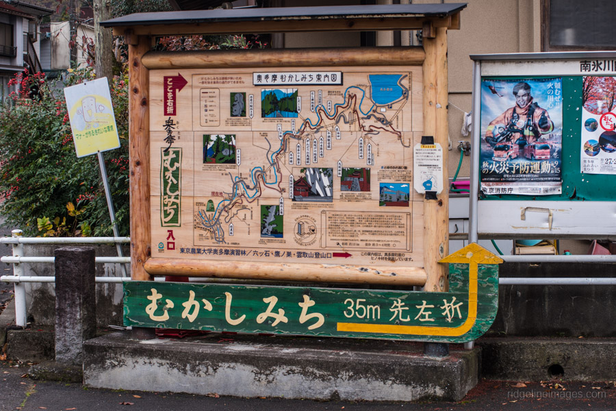
Explore Okutama’s Historic Past
From the late 18th century until the completion of the National Route 411 in 1945 the Okutama Old Road (Mukashi Michi むかしみち) was an integral part of Koshu Back Road (Koshu Ura Kaido) which ran from Tokyo to Kofu in Yamanashi Prefecture. In its heyday the bustling 10-kilometre thoroughfare was lined with tea houses and lodges catering to weary travellers and merchants travelling between Hikawa (Okutama) and Ogouchi. Relics from these bygone days can be rediscovered on this family friendly hike. For those looking to extend the hike the Ikoi-no-Michi continues around the banks of Lake Okutama.
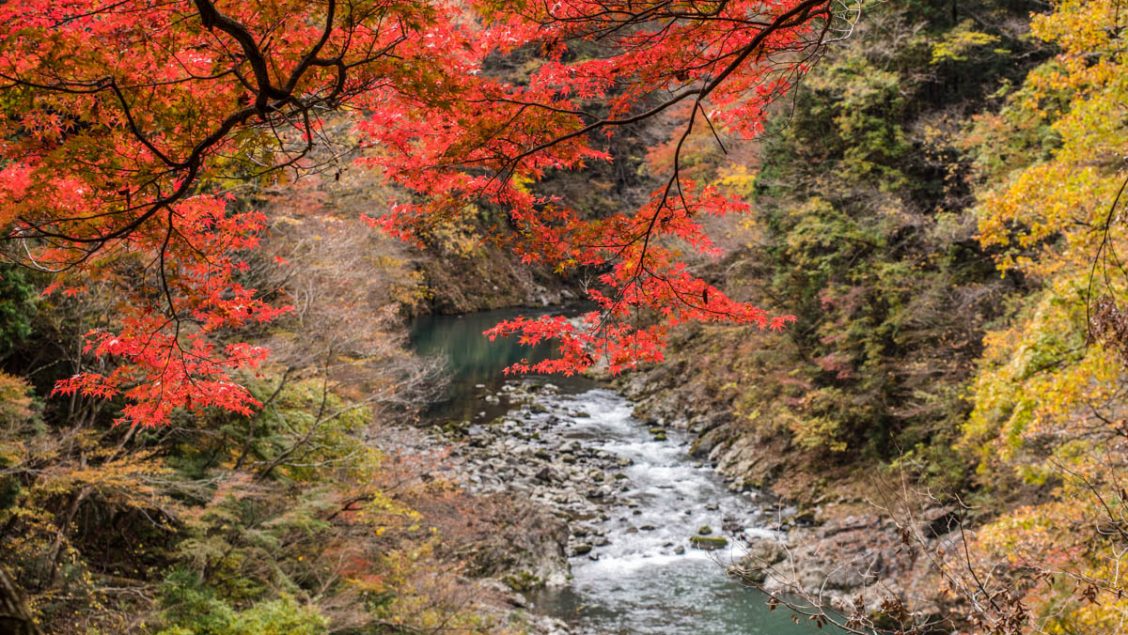
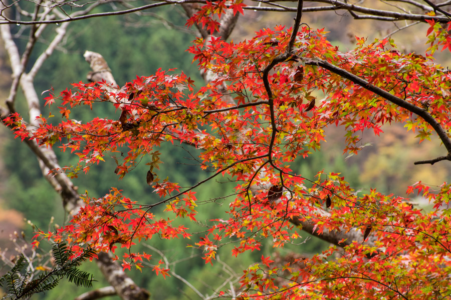
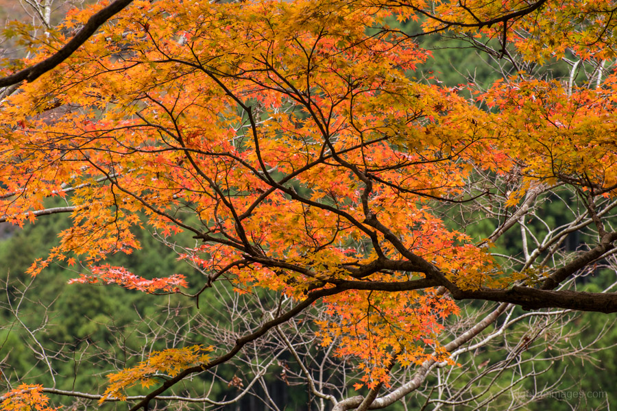
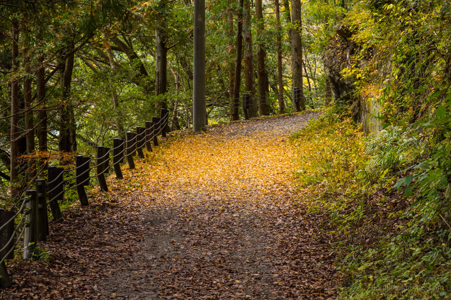
Okutama Station is around 1 hour 45 minutes and one train transfer from Shinjuku Station. The Mukashi Michi Historical Road for the most part follows a paved road intermixed with occasional trail most notably towards the end. It is well signposted and thus easy to follow although I recommend printing out the attached map as it includes some historic points of interest. The best time to visit is in the autumn when the colourful foliage augments the splendid backdrop.
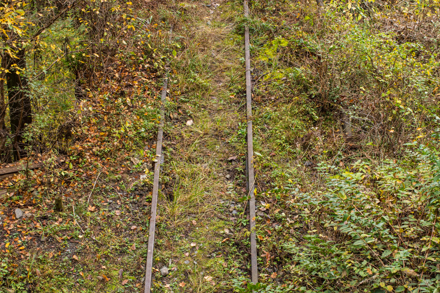
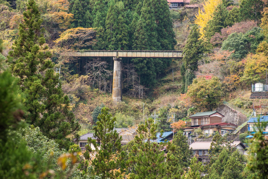
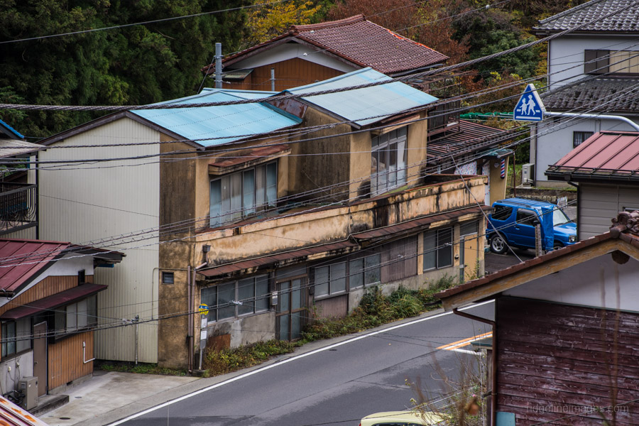
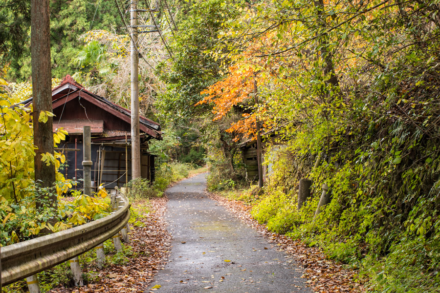
After exiting the station turn left and then right over the bridge which spans the Nippara River. There is a sign denoting the beginning of the Okutama Mukashi Michi across from the Daily convenience store. The path starts with a short climb up Hagurozaka Hill to the abandoned Tokyo Metropolitan Government Bureau of Waterworks Ogouchi freight line which was used to transport materials for the construction of the Ogouchi Dam 小河内ダム. The route has been well documented by haikyoists (urban explorers) many of whom have trekked the 6.7 kilometres to the dam through its long eerie tunnels and decaying trestle bridges. A little further along the trail ducks over one of the line’s 23 tunnels where the remarkably well-preserved railway tracks can be seen below.
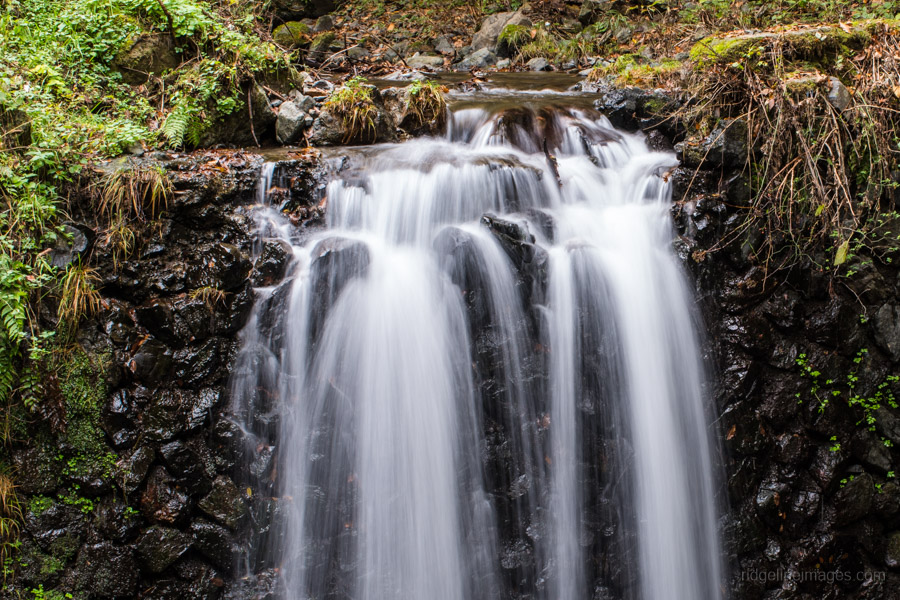
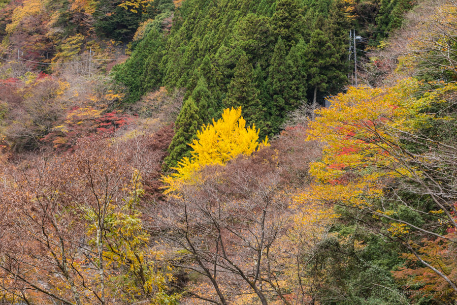
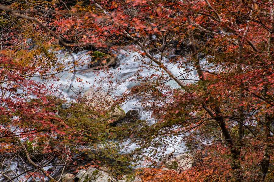
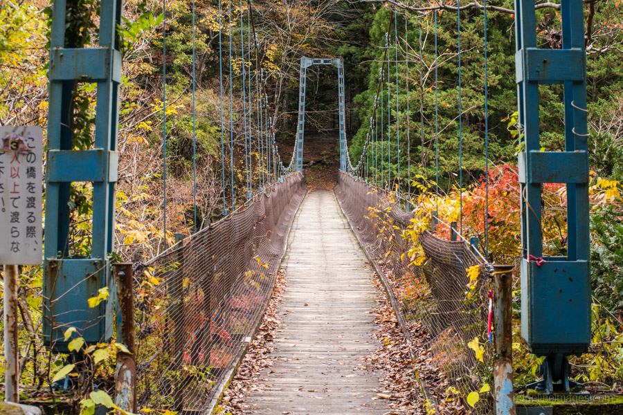
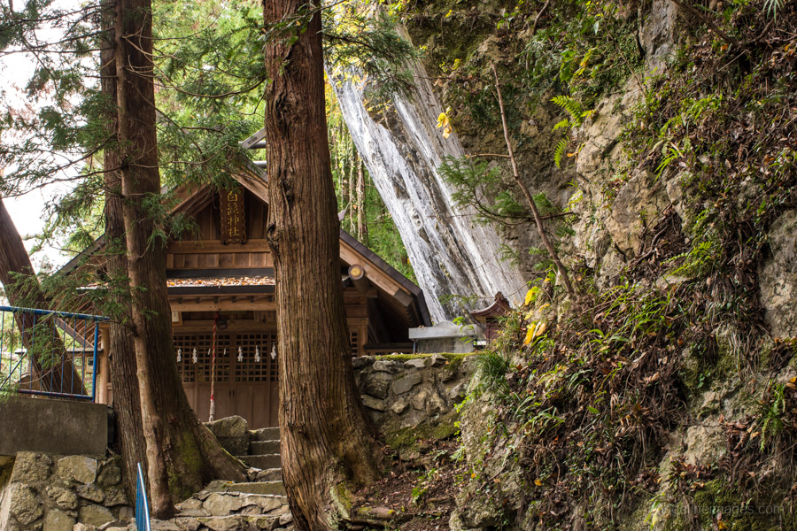
After around an hour and a bit of walking there is a short detour to the Shirahige Shrine nestled under an overhanging rock slab (Shirahige Oiwa). This substantial rock precipice measures some 20 metres in diameter and contains a rare geological fault line, important enough to garner designation as a natural monument by the Tokyo Metropolitan Government. Before reaching the Sogaku Ravine 惣岳渓谷 look out for the Iroha-Kaede a grand old maple tree which attracts local photographers in late November. The Sogaku Ravine sports a couple of quaint suspension bridges namely the Shidakura-bashi and Dodokoro-bashi affording fine views through the valley. Another remnant from the past to look out for is the uma no mizunomiba a timeworn watering trough originally used by horses and livestock.
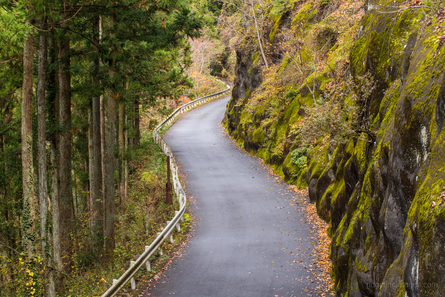
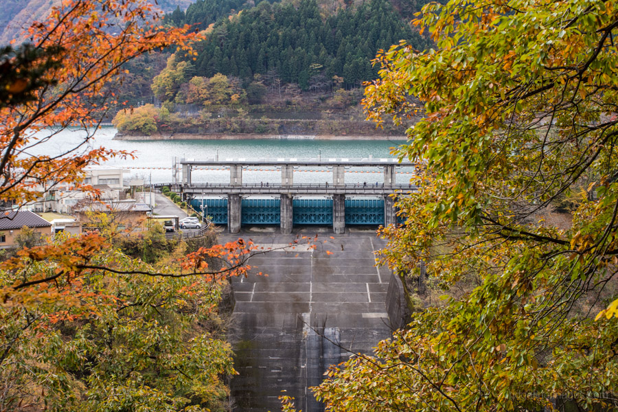
A little way after final suspension bridge the path becomes a hiking trail as it climbs up to a small village near the Sengen Shrine. Shortly after the shrine the ginormous Ogouchi Dam and Lake Okutama 奥多摩湖 behind it can be spotted through the undergrowth. If you wish to opt out early there is a trail which skirts down to the Takinorisawa bus stop on Highway 411 otherwise continue until you reach a paved road, turn left and follow it down to the Okutama Water and Greenery Museum (Mizu to Midori no Fureaikan) and Okutamako bus stop for the return trip to Okutama Station (15 mins, 350 yen).


David, great write up and narrative. Based on this, I did this route combined with the Ohtama trail frim Kori to Okutama last Sunday. Wow, the colors were outstanding! And the route was fairly crowded, with most going down, rather than your/my route going up. The Fall colors were the best I have ever seen including my recent trip to Kyoto, which was pretty good.
One of these days I plan to walk the rail line route instead of the road. That has to be on a dry day so the rails and ties are less slippery.
Thanks Tim! That’s a decent walk and I’m guessing it would have nudged the total distance close to 20 km. Given the extremely hot summer and onslaught on typhoons this year the autumn colours actually held up quite well. As for following the rail line, without doubt wait for a dry spell. Also watch out for inoshishi (wild boars) we saw one, making an almighty shrieking sound as it ran out one of the tunnels .