.
Higashisenba 東仙波 – Mt. Karamatsuo 唐松尾山 – Mt. Kasatori 笠取山
Distance: 32.3 km
Elevation change: 1503 metres
Highest point: 2036 metres
Start: Lake Chichibu Bus Stop
Finish: Shinchidaira Bus Stop
Difficulty: ▅▅▅▅▅▅▅▅▅▅ ❺
Map: Yama to Kogen Chizu 山と高原地図 [No.27 雲取山・両神山 KUMOTORI-YAMA·RYOKAMI-SAN]
GPX TrackKML TrackGSI MAPPDF Topo Map
The Secret Peak of Okuchichibu
Wanakurayama is the highest independent peak in Saitama Prefecture and a mountain that’s long been on my radar. Oddly for a Kanto Nihyakumeizan it is both secluded and unfamiliar. Once praised as the secret peak of Okuchichibu covered in giant momi fir, northern Japanese hemlock, and Veitch’s silver-fir until clear-cutting wreaked havoc as demand for timber soared during Japan’s postwar reconstruction. It should be emphasised that the Futase Ridge 二瀬尾根 from Lake Chichibu to the summit is a ‘dotted line’ meaning it’s not maintained as a general hiking route and takes upwards of five hours to reach the summit. Over the years there have been numerous mountain distress incidents.
According to my research there are no less than eight attack routes to the summit. Two of these are marked on the Yama to Kogen maps. Most popular being a solid line from Shogen Pass from the Yamanashi side as well as the Futase Ridge. The other six which aren’t range from difficult to maniac level; specifically the two sawa courses and the Hirumeshi Ridge ヒルメシ尾根 from Kawamata which has been all but abandoned.
Day 1: Battling Up the Futase Ridge (10.5 km)
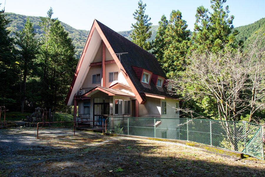
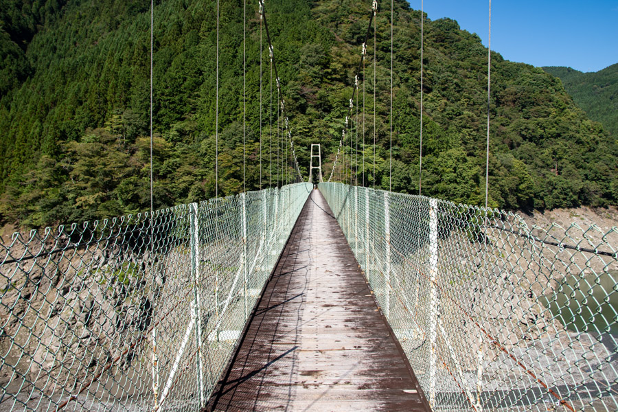
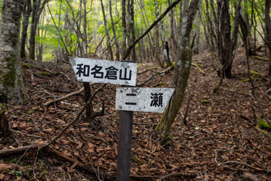
Public transportation is the same as for the Mt. Kumotori hike. At Seibu-Chichibu Station make a beeline for Bus Stand 5 where 6-7 daily buses depart for Mitsumine Shrine 三峰神社. It is also possible to pick up the same bus at Mitsumineguchi Station. Get off at Lake Chichibu Bus Stop (50 mins, 760 yen). From the bus stop mosey across the top of the Futase Dam wall and along the road until you come to the distinctive A-framed Saitama University Lodge. Look for a sign pointing to the Oboragawa Suspension Bridge 大洞川吊り橋 and trailhead proper. The suspension bridge is 171 metres in length and one of two that span Lake Chichibu. It was completed in 1958 and the wooden tread renewed in 1990. As stated in this blog post there was once a walking path that circled around to the second bridge along with a detour to the Sawano waterfall 沢の滝 to the left, but has since fallen into disuse.
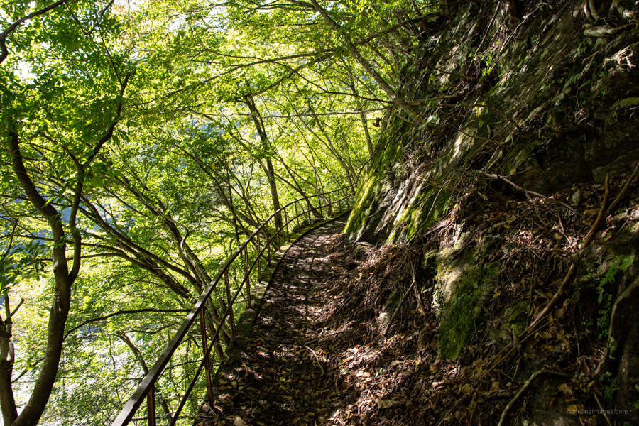
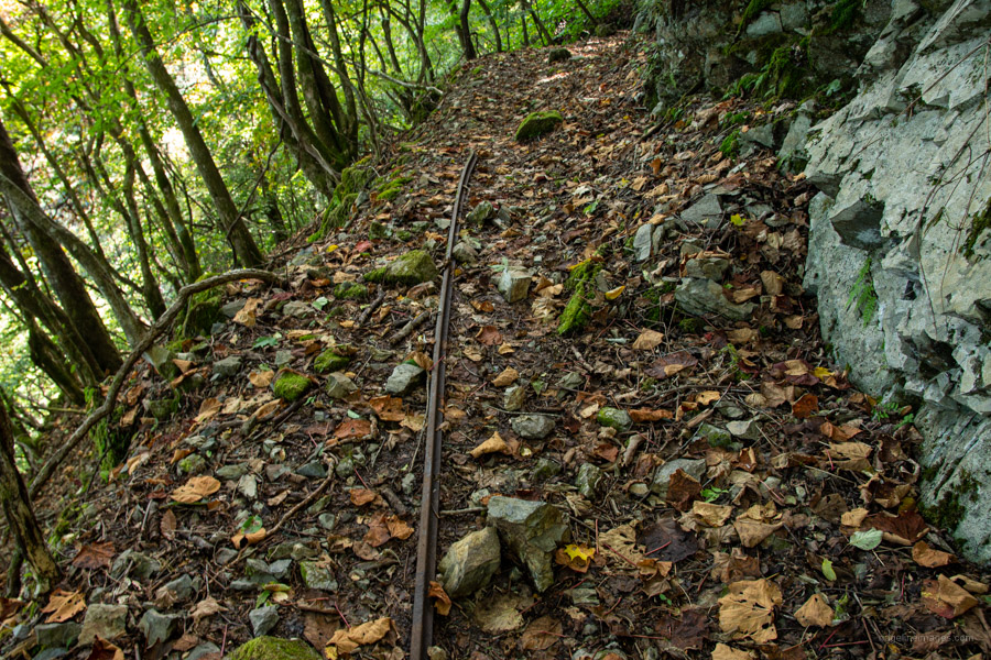
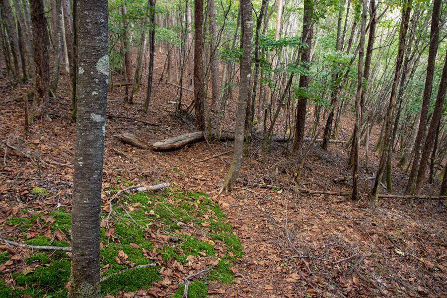
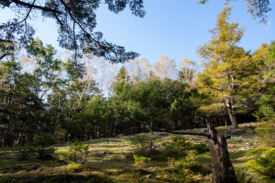
Take care with the first 50 metres of narrow trail as it grips the dam verges. Here starts a rapid climb through cedar plantations before entering broad-leaved forest comprised of Japanese beech and maple. From time to time you can glimpse the dam below through the vegetation. After a two hour slog from the bus stop, you’ll come to a level pathway (around 1,360 metres) making a good spot to take a breather. Relics from logging that took place in the 1950s and 1960s include abandoned steel rails, logging cable, and trolley wheels once used to haul the cut timber down the mountain. What is hard to truly comprehend about Mt. Wanakura is the volume of cable that remains – it’s literally besieged with the stuff.
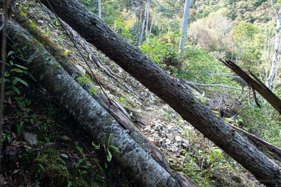
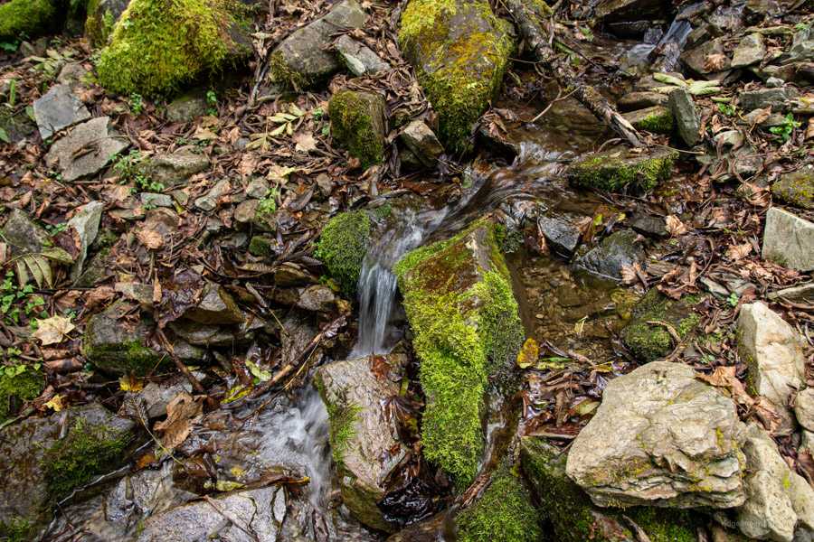
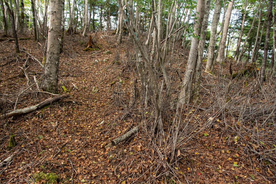
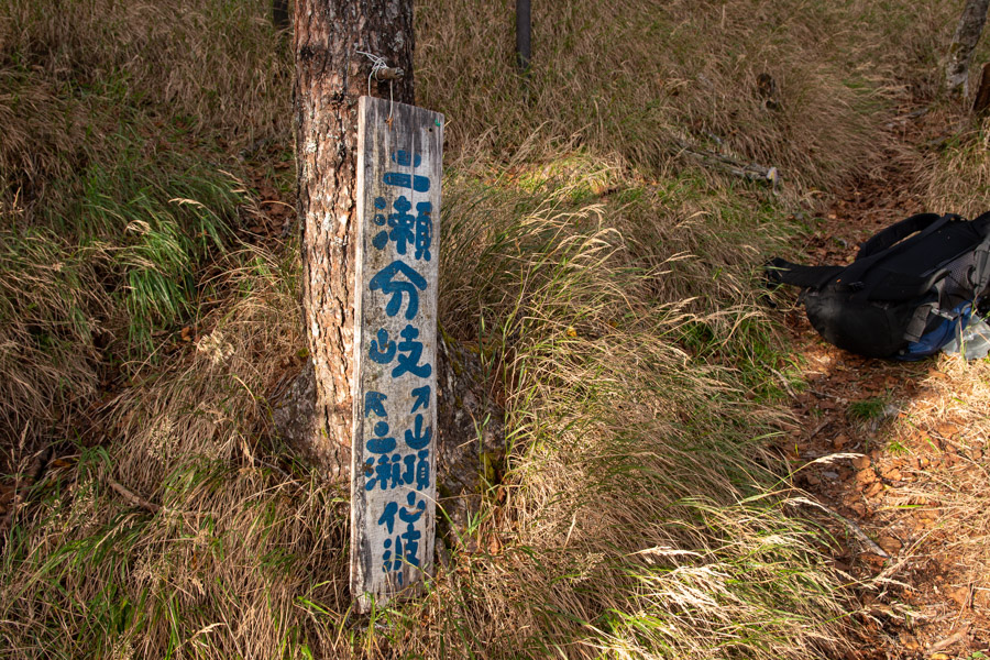
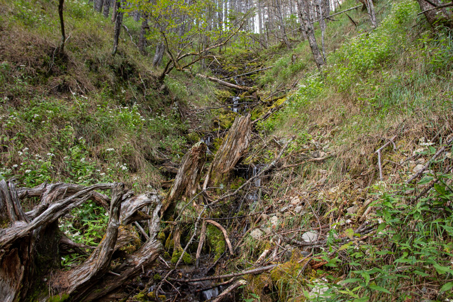
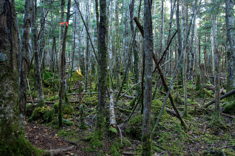
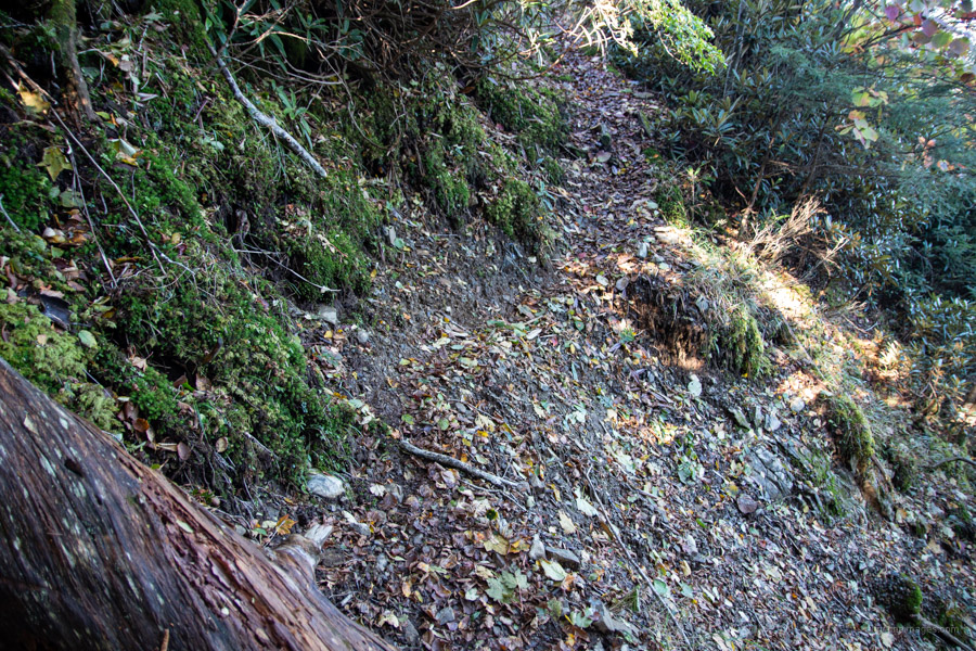
The smooth trail continues for around 2km passing tracts of moss ladened forest. It finally terminates at the ruins of a forestry hut and a reliable water source. No need to go crazy filling up your water bottles just bring enough to reach the summit. As I later discovered there is a dependable water source close to the Futase bunki 二瀬分岐. Rest up as you will be soon zigzagging your way out of the gully to a plateau. Up to this point the trail is fairly easy to follow however from the water source onwards pay close attention. Not only is the trail faint, but the use of pink tape is sporadic and can’t be relied on. There were times where I lost the trail and couldn’t see the next pink tape, without my GPS to check my position it would have been a challenge to say the least.
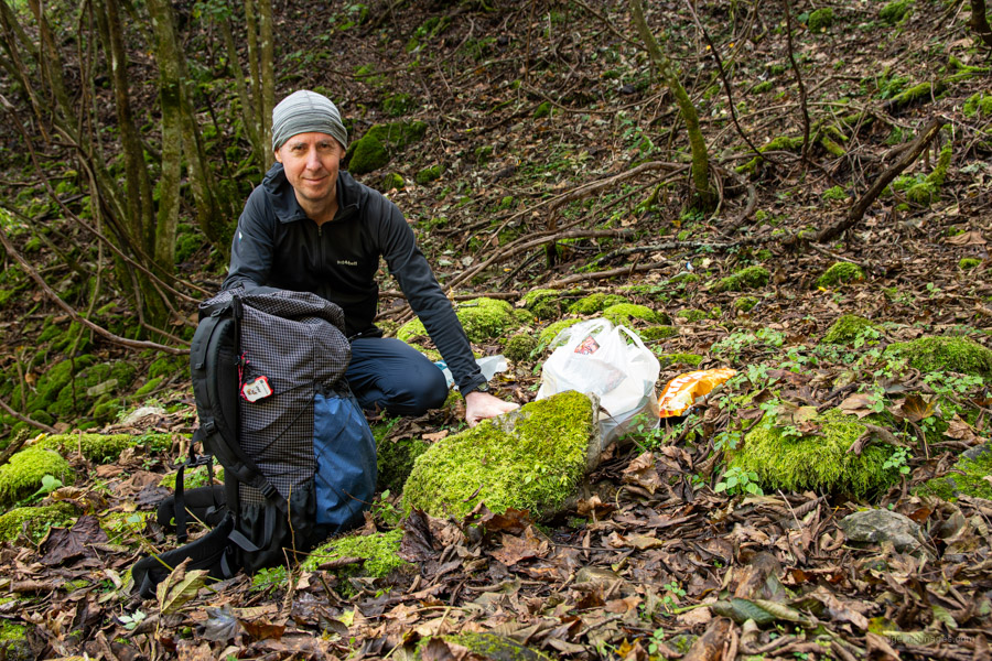
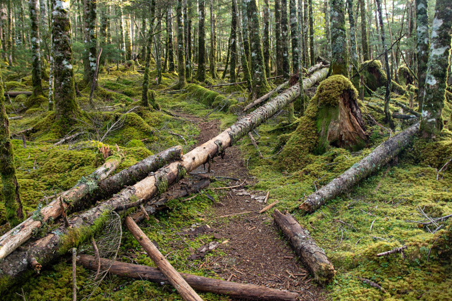
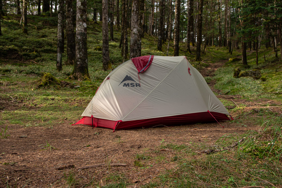
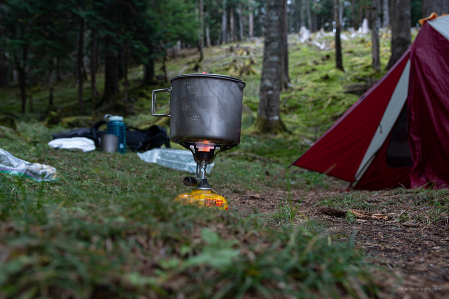
At a steady pace you should reach Kita-notaru 北ノタル about 2 hours from the water source after passing through desiccated suzu-take bamboo and tunnel-like thickets of vegetation. Your hard yards will soon be rewarded as you cross a magnificent primordial mossy forest floor encased in Veitch’s silver-fir before arriving at Futase bunki. Around this point I had the good fortune of running into another hiker who was heading to the river come water source so tagged along. Be aware you’ll need to pack some Bear Grylls tenacity as the path is little more than a goat trail. A nice spot to pitch your tent is a ‘daira’ near where the trail to the waterhole intersects with the Futase Ridge. Not long after polishing off dinner I was hit by a sudden thunderstorm. The MSR FreeLite 1 rainfly held up admirably with everything inside remaining completely dry.
Day 2: Panoramas Galore (13.3 km)
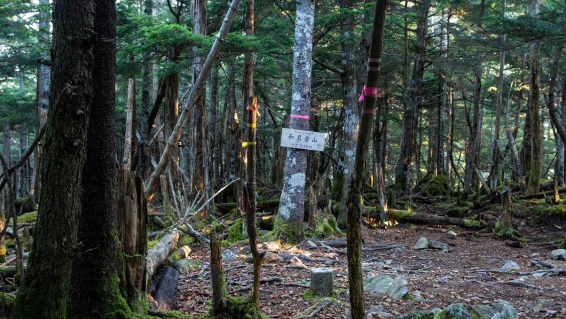
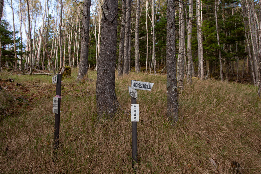
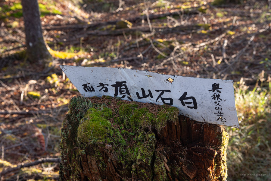
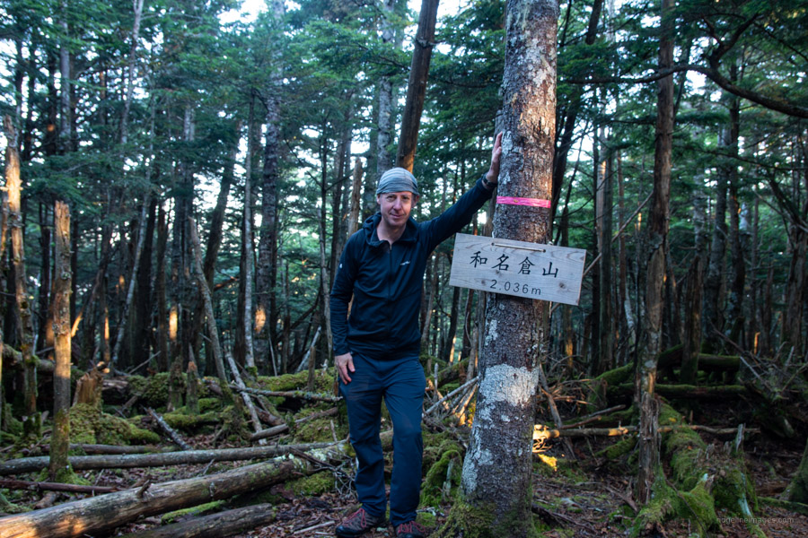
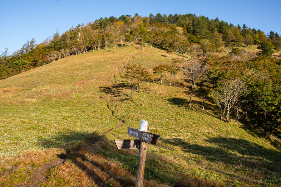
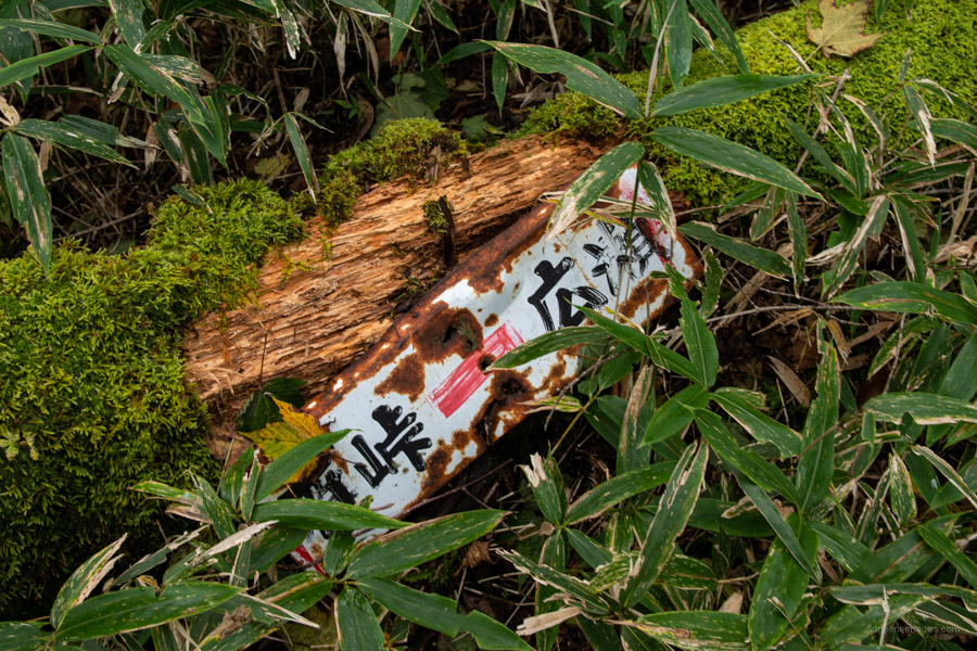
Out-and-out knackered – the excursion to the water source sapped my remaining power reserves meant I only made a brief stop at the summit vowing to return the following morning for a proper look. To reach the summit return to Futase bunki drop your pack and follow the pink ribbons. Sounds simple though be observant as the landscape looks much the same in every direction. Mt. Wanakurayama (2,036 m) 和名倉山 also known as Mt. Shiroishi 白石山 is a broad, flat mountaintop, hemmed in on all sides with no views (Mt. Shiroishi is the official name on the Geospatial Information Authority of Japan topo map with Mt. Wanakura the old name from the Chichibu side). Only a trig point and a flimsy wooden sign tied to a tree distinguish it from its unremarkable surroundings. Return to the trail branch and continue through larch forest towards Happyaku-daira 八百平.
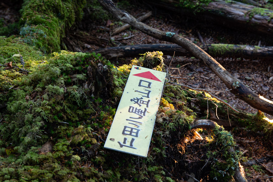
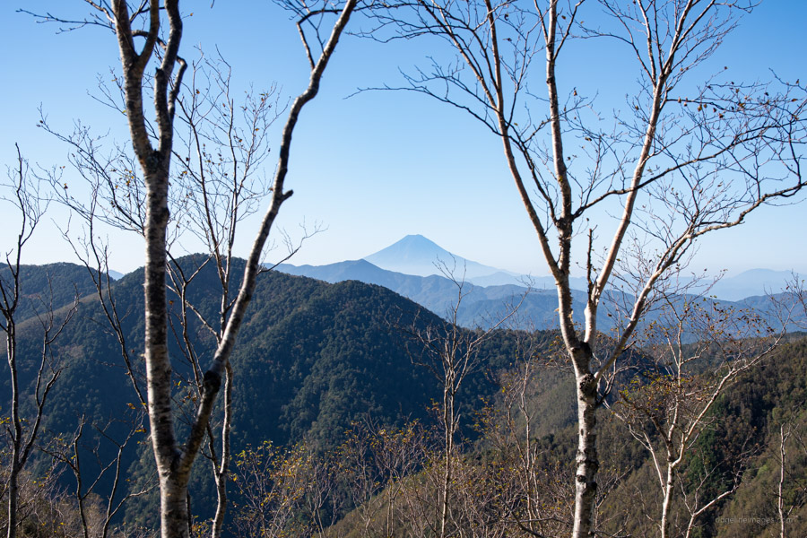
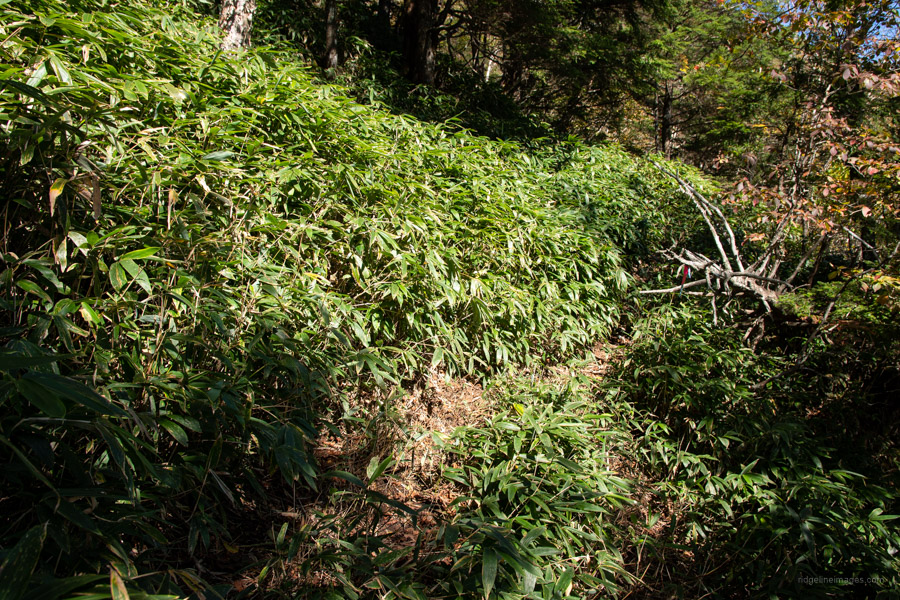
At times the view opens out with a nice panorama of Fuji-san. Next up along the undulating ridgeline is Higashisenba 東仙波 (2,003 m). To the west note a minor trail to kabaa-no-atama カバアノ頭 this seldom used path runs down to the Kumotori Rindo 雲取林道 that tails the Obora River. If you happen to be hiking in the in the spring, look out for a small colony of rhododendron that somehow managed to escaped the logging. Shortly hereafter is a dangerous part where the route has suffered landside damage. Take great care passing here and highly recommend detouring up and around rather than risk your life by trying to make your way directly across. The last obstacle to contend with before arriving at Yamanokando 山ノ神土 is around four hundred metres of head high suzu-take bamboo. Even with pink tape I found it difficult at various points to understand where I was going. Part way through there is a minor water source – really just a trickle – but might save you from making a round trip to Shogen Yamagoya 将監小屋 to collect water.
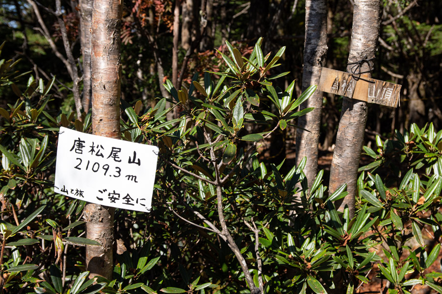
From the Yamanokando trail branch there are three exits off the mountain. Starting with the shortest; on weekends and public holidays you can catch a bus from Ochiai 落合 to Enzan Station and perhaps spend a second night at the quaint Ichinosekogen Campground 一之瀬高原キャンプ場. Second is making a long descent to Tabayama and finally traveling across to the Shinchidaira Bus Stop 新地平 nearby the Nishizawa Gorge as was done on this hike. From Yamanokando take the trail veering to the right which begins a steady climb to Mt. Karamatsuo 唐松尾山 (2,109 m) (no views). It’s worth mentioning the trails in the west portion of the Okuchichibu Mountains see far fewer hikers, aren’t as well signposted though are mostly easy to follow.
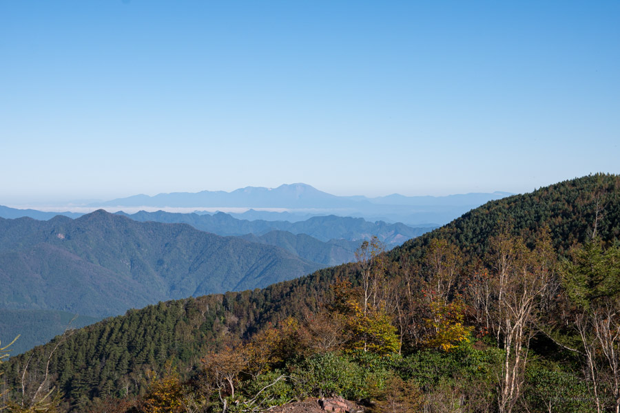
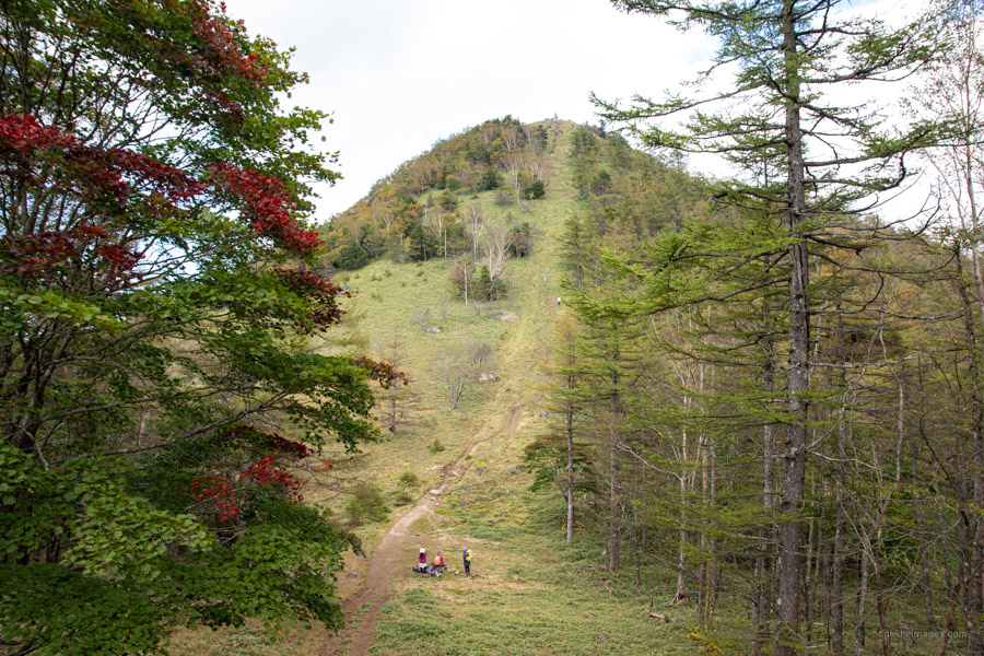
I took lunch beside a flat stretch before the path wound itself up to the summit of Mt. Kasatori 笠取山 (1,953 m). In fine weather the view is sublime although this time Fujisan’s graceful conical form was masked by a slight haze. From here head down the so-called ‘heartbreak slope’ to the sheltered Kasatori-goya 笠取小屋 (700 yen). Never one to re-join the Tokyo rat race a minute sooner than I need be, I couldn’t think of anything better than spending an extra night under a clear starry sky at one of my all-time favourite campsites in the Okuchichibu Mountains.
Day 3: Always Picturesque Hiro River (8.5 km)
During the early morning I could hear the wind howling about the nearby mountains though the campsite remained very calm. Map time down to the Shinchidaira Bus Stop indicates around 2.5 hours though usually give myself extra time to stop, photograph, and explore as I shadow the picturesque Hiro River. This would be my third time hiking down from Gan-toge 雁峠 with strips of pink tape becoming more plentiful on each descent. Similar to previous occasions, I arrived in time to catch the first morning bus back to Enzan Station (27 mins, 970 yen). In somewhat of a rarity, I was the only passenger for the entire journey a veritable taxi ride if you like.


I’m happy you were able to get out finally and that you were rewarded with some nice weather! I really like Kasatori.
Thanks Pat. A tough hike though took it pretty easy. Yes, being blessed with fine weather always helps. Reading about your recent hike there also helped motivate me to finally climb it.
Sounds like a great if tough hike!
> one of my all-time favourite campsites in the Okuchichibu Mountains.
Which campsite is this? One near Kasatori-goya?
Believe me it was, though enjoyed it all the same. That is correct Ian, the campsite next to the Kasatori-goya. Now is one of the best times of the year to visit. Saturday’s are busy but last Sunday evening there was only three of us camping there.
Thanks for the confirmation, David.