.
Gan-toge 雁峠 – Kasatori-goya 笠取小屋 – Tama River Headwaters 多摩川源流
Distance: 20 km
Elevation change: 893 metres
Highest point: 1953 metres
Start: Shinchidaira Bus Stop
Finish: Shinchidaira Bus Stop
Difficulty: ▅▅▅▅▅▅▅▅▅▅ ❸
Map: Yama to Kogen Chizu 山と高原地図 [No.27 雲取山・両神山 KUMOTORI-YAMA·RYOKAMI-SAN]
GPX TrackKML TrackGSI MAPPDF Topo Map
The Hidden Mountain of Okuchichibu
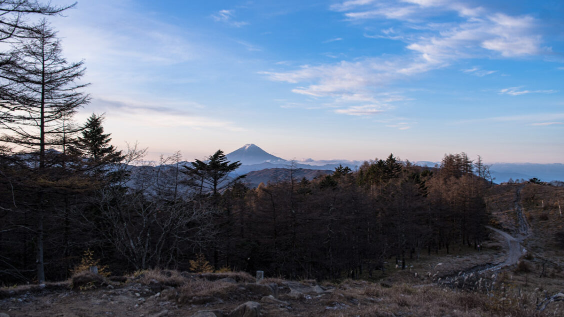
Mt. Kasatori lies along the Saitama – Yamanashi prefectural border about halfway between Mt. Kobushi and Mt. Kumotori. The south side of the summit boasts the headwaters of the Tama River while the summit itself offers terrific views of the Okuchichibu Mountains, Southern Alps, and Mt. Fuji. While doable as a day hike (round-trip 7 hours) it’ll be a race against the clock to make the last bus. A more relaxed course of action would be to sleep out at the quaint and sheltered Kasatori-goya campsite.
Day 1: Trek to Tama River’s Headwaters (11.8 km)
For those coming by car the most popular hiking route starts from Sakubadaira 作場平. If you’re relying on public transport you will need to take a bus from either Enzan Station or Yamanashishi Station if hiking out of season. At Enzan Station 塩山駅 head out the south exit and transfer to a bus bound for the Nishizawa Gorge (27 mins, 970 yen). Note this timetable is seasonal. From mid-April to the end of September it runs only on weekends and public holidays. Exceptions to this rule include Golden Week, 9 July to 15 August and 1 October to November 20 where it runs daily. If hiking on a weekday out of season you will need to alight two stations further along at Yamanashishi Station 山梨市駅 and take a bus from there. This hike commences from the Shinchidaira Bus Stop 新地平.
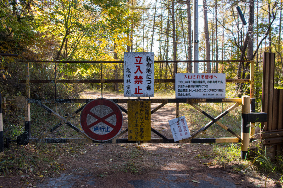
The trail up to Gan-toge is the same as the final day on my Karisaka-toge hike from a few years back. From the bus stop head across the road, turn right at the first street, and follow it up hill. After 10 minutes you’ll reach a gate with some signs stating that the road and surrounding forest is privately owned. A little further on you will reach a place where the road divides. The right fork is clearer and more travelled, but the left fork is also okay. Take your pick, as they meet later on.
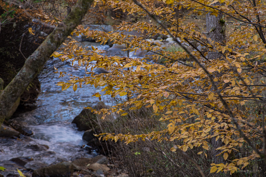
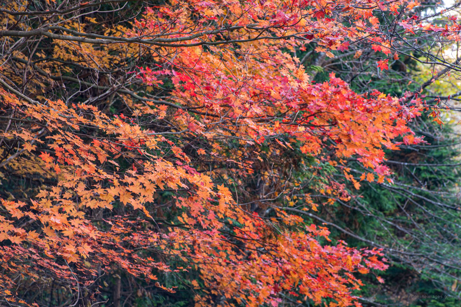
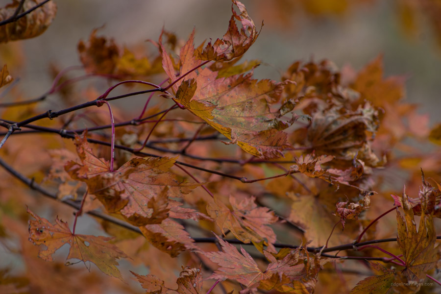
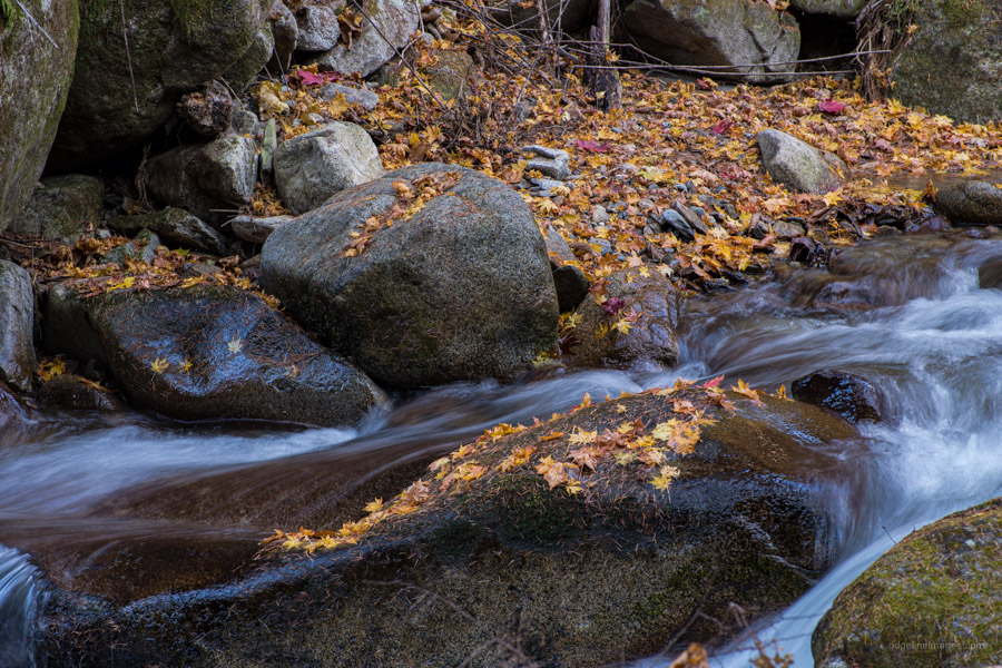
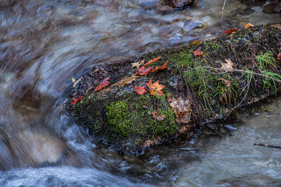
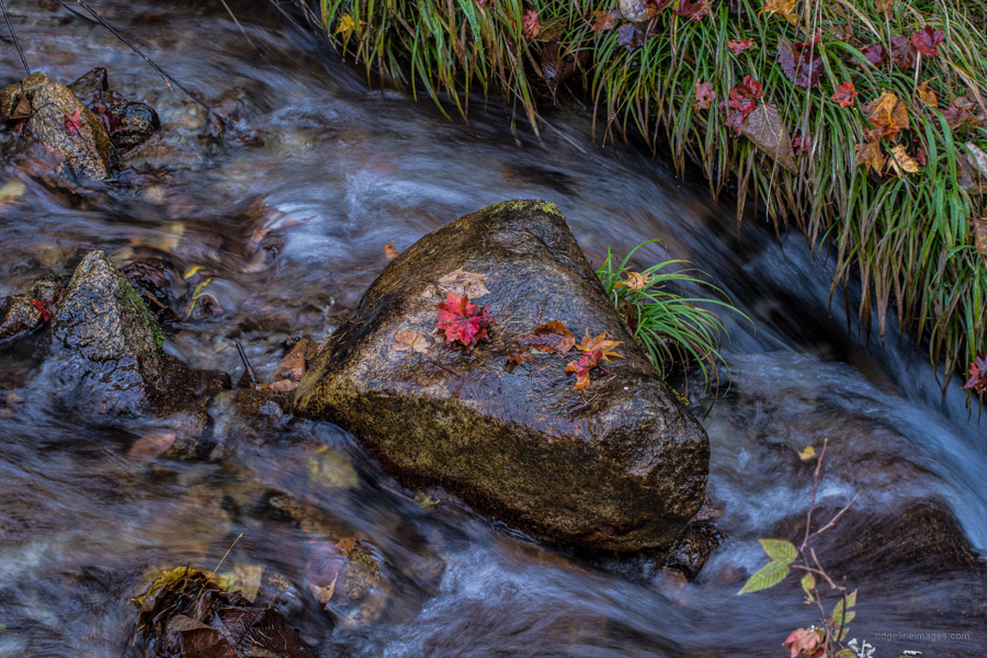
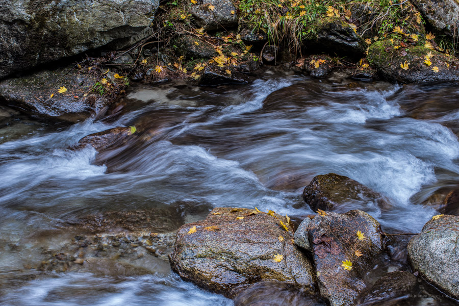
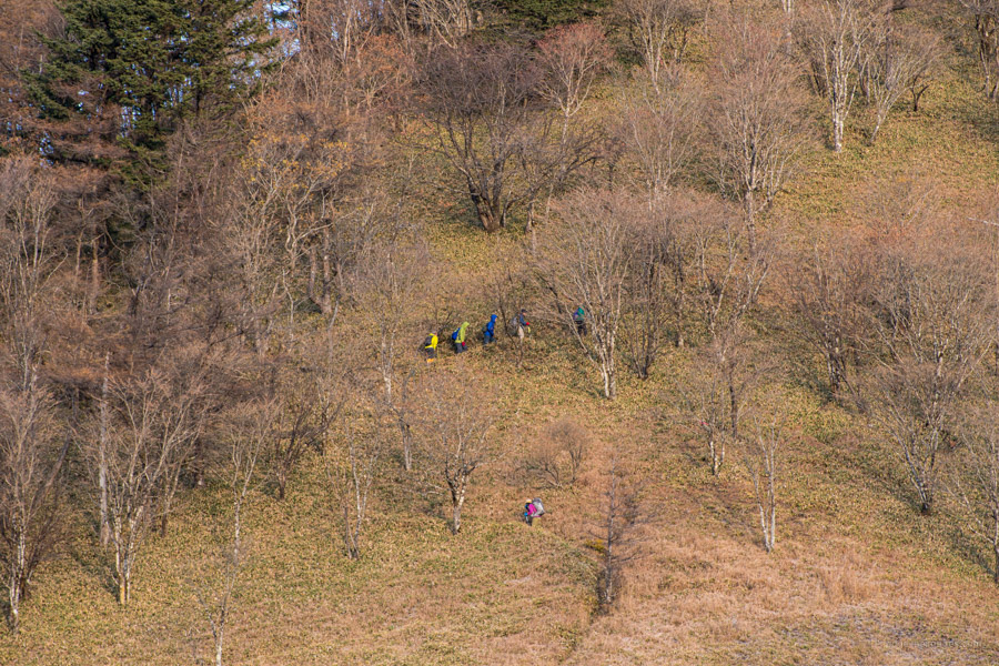
The forestry road for the most part grips the Hiro River 広川 and is rather picturesque in the autumn. It should take an hour to reach a work shed and 30 minutes after that you’ll face the first of around ten minor river crossings. Compared to last time the river was under higher flow and I would avoid this route after heavy rain. After seeing another hiker go head over heels, I decided it best to remove my shoes and socks to avoid similar ignominy. Thankfully, the other river traverses were easier to deal with.
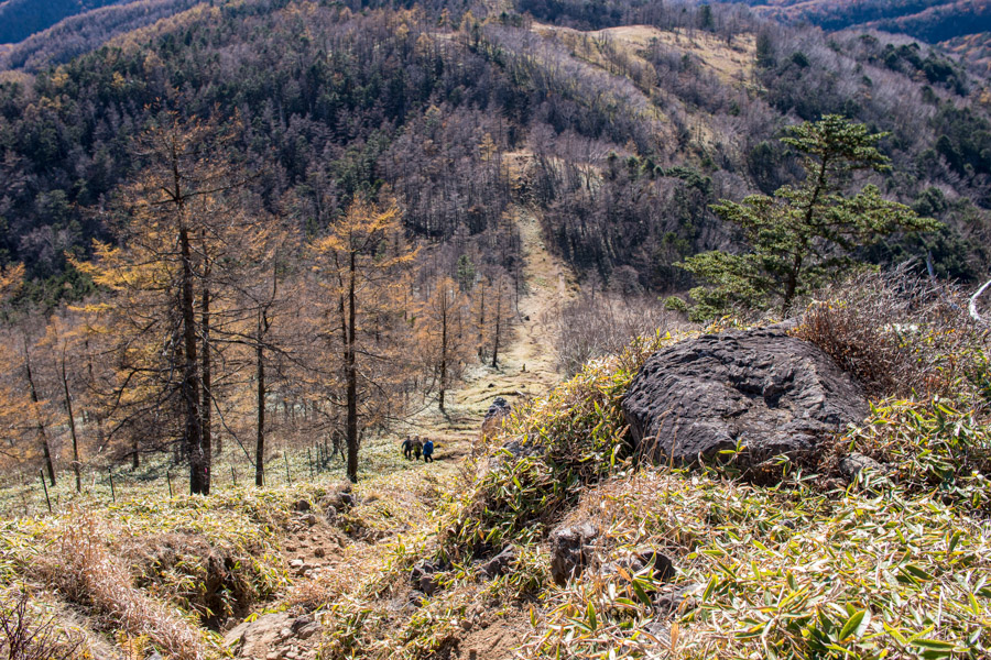
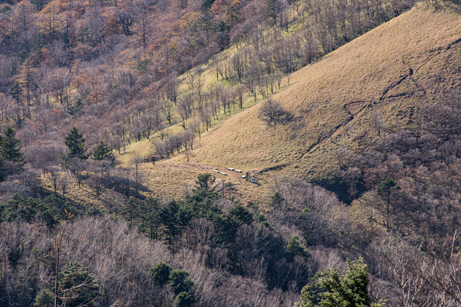
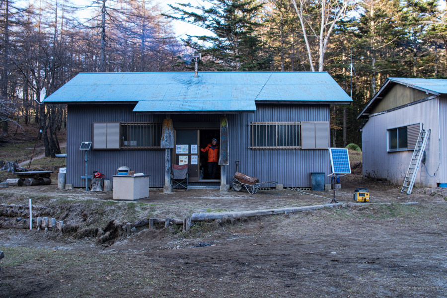
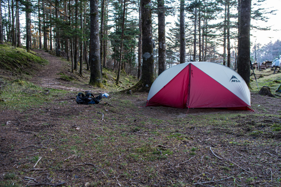
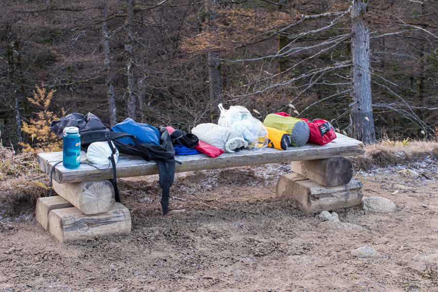
The trail after the first river crossing was at times faint but provided you stick to the main watercourse and are mindful of the pink tape it shouldn’t be a problem. As for collecting drinking water I would hold off until the grassland near Kan-toge. If you are doing this hike as an overnighter I would first head down to the Kasatori-goya 笠取小屋 (700 yen) and find a place to set up camp especially on weekends as the campsite fills up quickly. The hut caretaker is a jovial character even offering guests a free cup of coffee upon arrival.
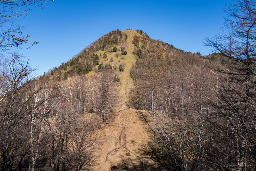
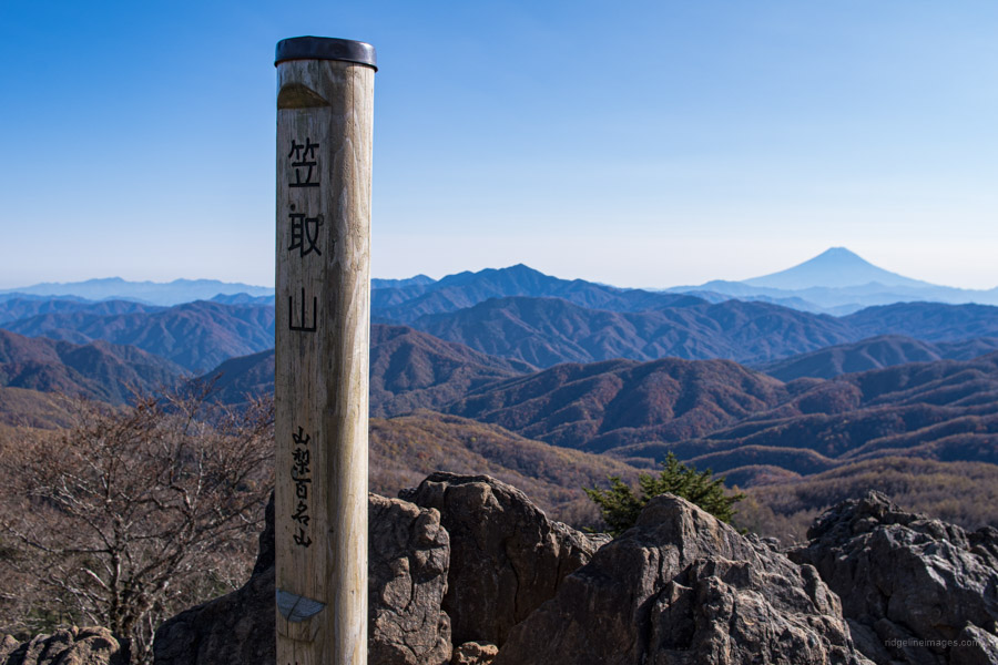
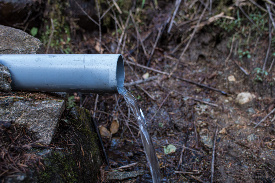
Having found a decent spot to pitch the tent and wolfing down a couple of sandwiches I headed towards Mt. Kasatori 笠取山 (1,953 m). The wall-like slope which rises in front of you is colloquially known as ‘heartbreak slope’ and is the best bit about climbing Mt. Kasatori. Your efforts are rewarded with spectacular views of the snowed capped Southern Japanese Alps along with Fujisan. If you’re interested in checking out the Tama River Headwaters 多摩川源流 you can either loop around the mountaintop or head back down and cut across. Here a little down from the summit is the source of the Tama River known as Mizukan 水干. As the signpost succinctly puts it 東京湾まで138 km (Tokyo Bay 138 km). Stick on this trail to find the actual mizu-ba or spring and lap up some of Kanto’s purest water.
Day 2: An Untimely Drippy Water Bottle (8.2 km)
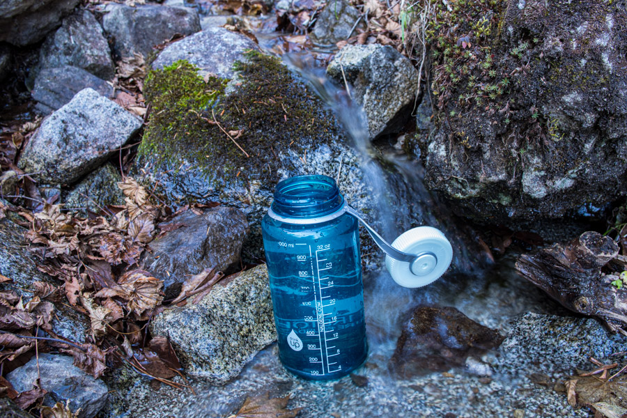
For the return trip I contemplated making a quick summit bid but shortly after leaving the campsite I felt some coldness around my lower back. The culprit was a leaky Nalgene wide mouth cantene which I have taken on just about every overnight hike over the past 7 years. After pouring out the said water at Gan-toge I started heading down to the bus stop. The early morning light combined with the autumn foliage made for some nice-looking photos and apart from crossing the freezing stream barefooted it was a perfect couple of hours. Like on the previous occasion I managed to make the first morning bus back to Enzan Station.


Wrote a large review of this trail, then accidentally refreshed the page aaaand it’s gone.
TLDR: went there last Wednesday, taking advantage of the toasty weather and calm winds and this was probably the most enjoyable hike I’ve done yet.
Easy trail, extremely scenic, plenty of water allowing maybe to even drop the pack weight and bring less than usual if you have a squeeze filter (which I recommend anyway).
After all the hikes around Kumotori where you find yourself climbing serious inclines for long periods of times, this one felt like a walk in the park, quite literally.
Note: 笠取小屋 is unmanned due to covid so IIUC you’re supposed to put the tent fee into an envelope, write your name on it and post it into the post box on the door to the hut. I didn’t have neither an envelope nor a pen but talking to the few people that were there at the time, we concluded that posting money to the box should be enough.
Trail is a bit nondescript during the second third so carrying a GPS is a good idea. Also I had practically zero cell reception so having an inReach device was finally justified given that I was out there solo on a weekday with basically no other hikers around.
All in all this is probably first time I’d love to come back. Thinking about picking a different start and going through 笠取小屋 again. I’ve seen a trail descending from the mountains on that intersection when you come out of the woods and it looks promising.
P.S. the amount of bear signs was a bit unnerving. Maybe it’s time to invest into a bear spray…
Gotta hate when that happens…anyway glad you enjoyed the hike, Alex. I’ve stayed at the Kasatori-goya campsite a couple of times as it’s a terrific spot. Like you say it’s a gradual climb up to Gan-toge which is lucky as the last push to the summit is fairly brutal. Next time camp at the Karisaka-goya – it’s indeed further along that trail heading up from the mountain pass. Perhaps even a bit nicer with a lovely night view of Chichibu City.
Thanks for the recommendation!
Looked up your Karisaka Toge article and it looks like an amazing trail too.
Haven’t done a 3-day solo hike yet but considering that second day ends at Kasatori-goya, this could actually be a good start to those longer hikes, since it’s a pretty short walk to civilization from Kasatori-goya should anything go south.
I think I’ll make it my next destination.