.
Daimyojin Observation Deck 大明神展望台 – Lake Sagami 相模湖
Distance: 9.3 km
Elevation change: 482 metres
Highest point: 702 metres
Start: Pleasure Forest-mae Bus Stop
Finish: Pleasure Forest-mae Bus Stop
Difficulty: ▅▅▅▅▅▅▅▅▅▅ ❸
Map: Yama to Kogen Chizu 山と高原地図 [No.29 高尾・陣馬 TAKAO·JINBA]
GPX TrackKML TrackGSI MAPPDF Topo Map
Beginner-Friendly Trail with Great Views
Mt. Sekirozan rises about 700 metres above the south shore of Lake Sagami in Sagamihara City, Kanagawa. It’s a popular mountain that can be easily climbed by beginners. Before Typhoon Hagibis inflicted its wrath on the mountain back in 2019 the conventional climbing course was via the Kenkyoji Temple. With that trail now impassable most hikers do an out and back piston from a new trailhead created off the Prefectural Route 517 that passes via the Daimyojin observation deck.
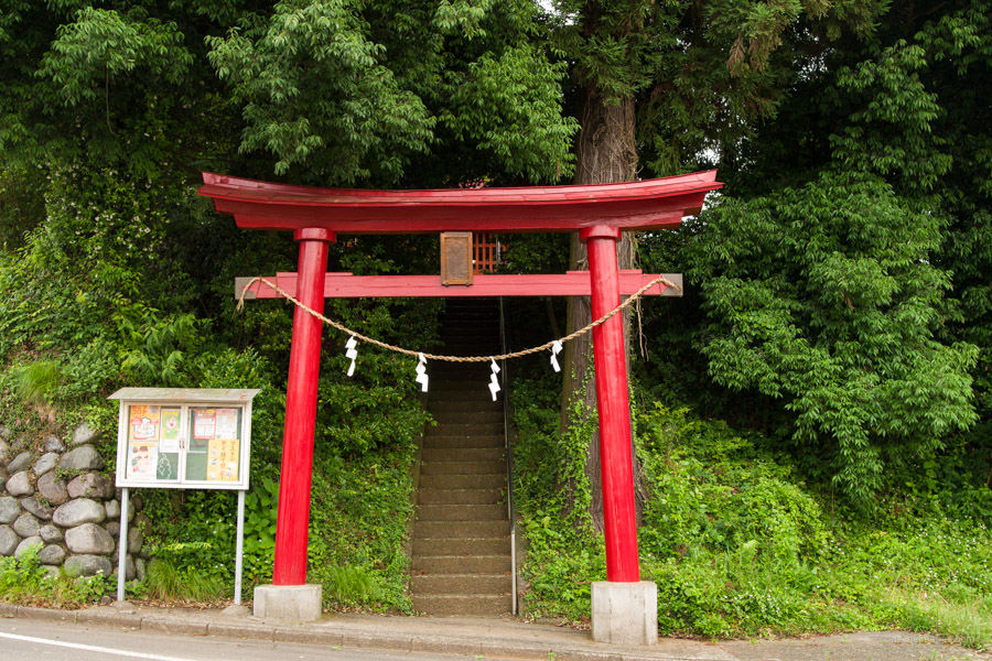
The trailhead can be approached on foot from Sagamiko Station 相模湖駅 or by short bus ride. If you’re an early bird like me than you’re in luck. Catching the first Otsuki bound train on the JR Chuo Line had me at Sagamiko Station at 5:52 am and after walking over to bus stand 1 had only a brief wait for the first morning bus for Mikage 三ヶ木 that departed at 6:00 am. Alight at the Pleasure Forest-mae Bus Stop プレジャーフォレスト前 (6 mins, 200 yen). From the bus stop cross the road and begin heading up the road that has the red torii gate to your right. As you look behind you can make out the Pleasure Forest’s giant Ferris wheel.
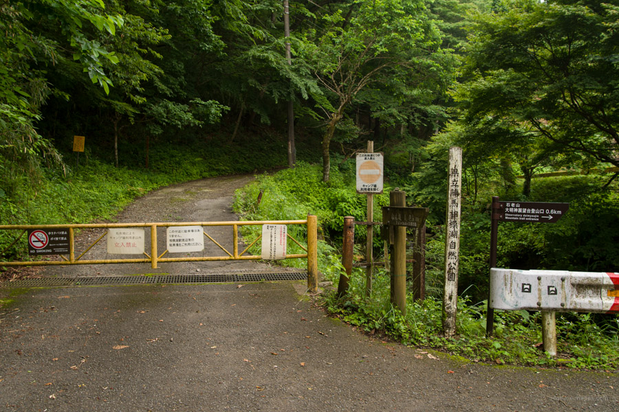
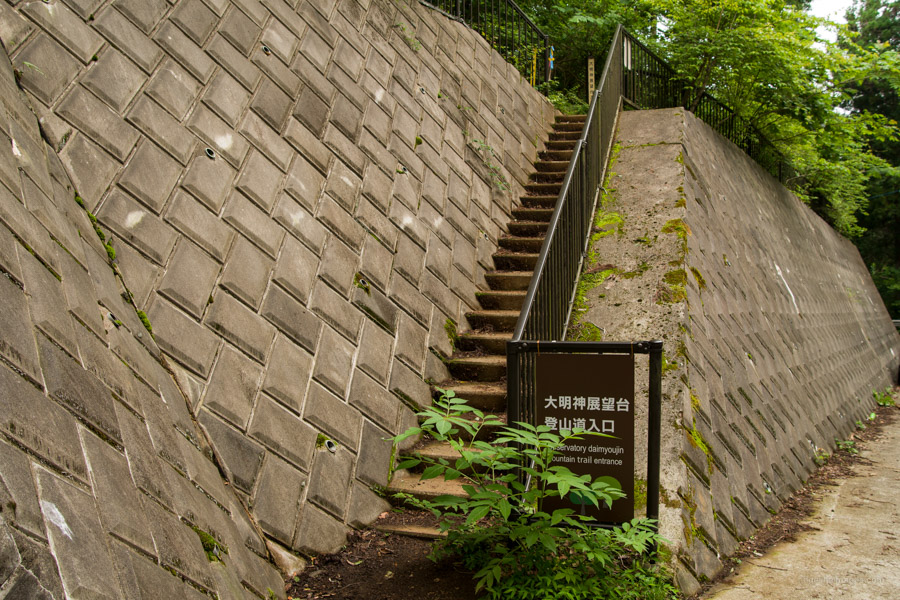
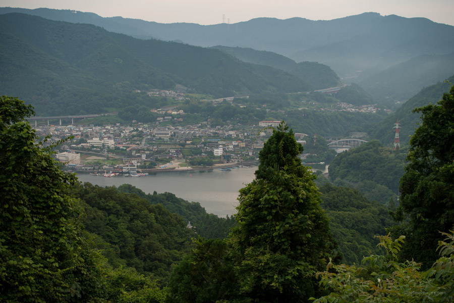
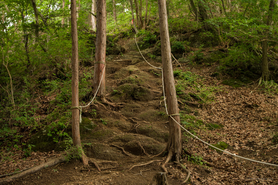
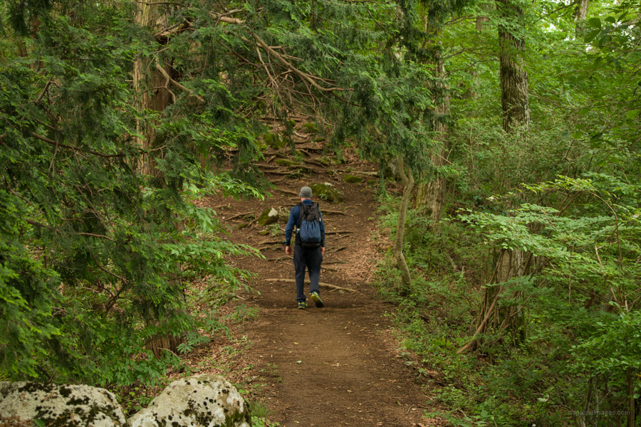
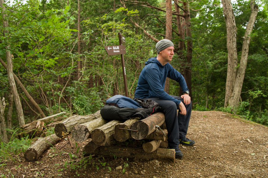
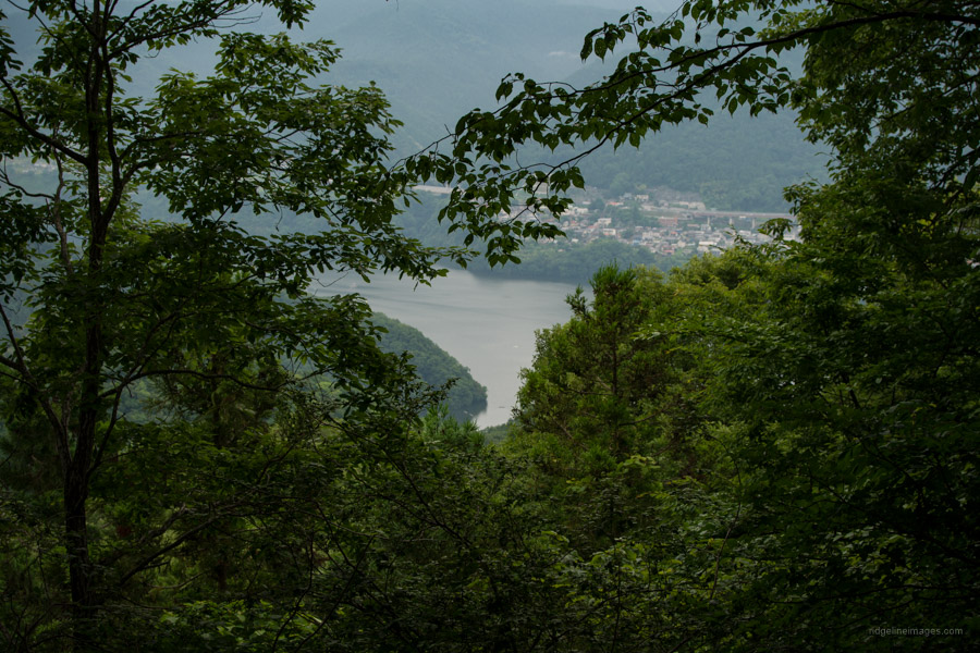
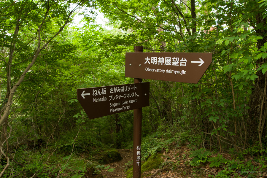
After 20 minutes you’ll come to a yellow gate and road that follows the Tokai Nature Trail 東海自然歩道. Though not technically closed it’s by all accounts very rough. The new Daimyojin Observatory trailhead is a further 10 minutes up the road to your left. Apparently, this route was created by diverting what was originally a patrol track for the power transmission towers. Soon you will pass under the said electricity pylons with views of Lake Sagami and the five-storey rowing finish tower on Maruyama Island. The route is very clear and easy to follow with stretched rope indicating the correct course. There are some steep spots and slight exposure but nothing dangerous. There are several judiciously laid benches to rest if needed. It’s worth mentioning the mountain is a haven for land leeches yama-hiru so pack some salt from June to September.
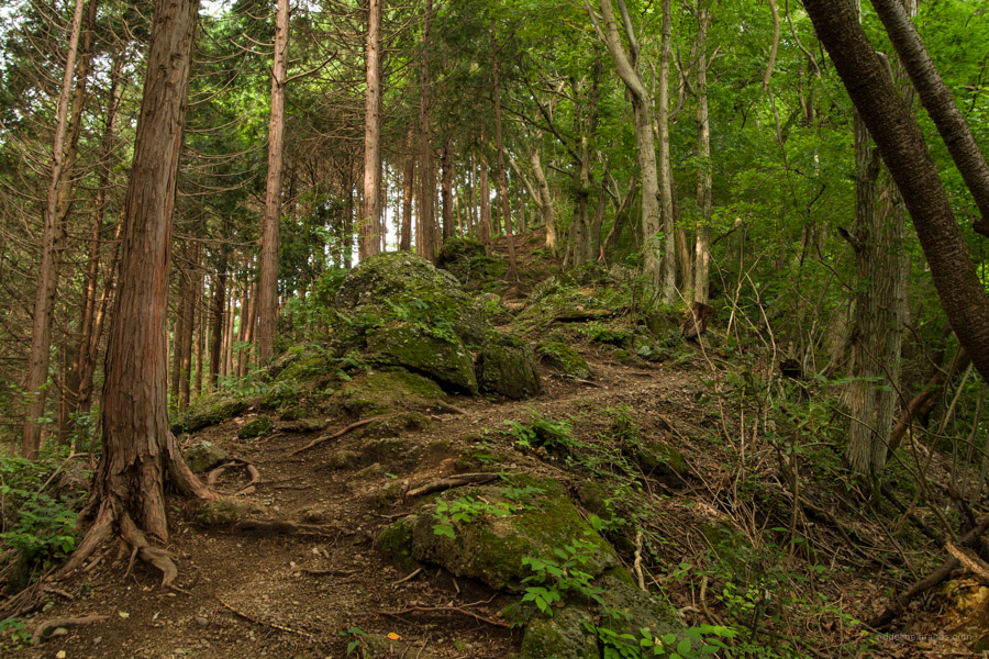
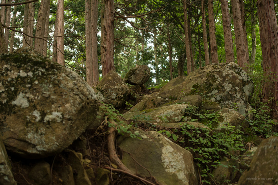
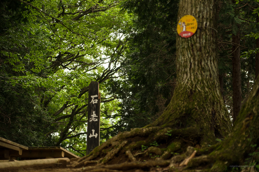
The mountain is composed of sedimentary rock known as conglomerate with rounded pebbles cemented together with sand indicating that it was once on the seabed. This geological feature is common in mountains along the Katsura River along with Mt. Jinba. From the trailhead it takes 45 minutes to reach the Daimyojin Observation Deck 大明神展望台 a good spot to take a breather. The mountain in front of you is Mt. Kobotoke-Shiroyama that stands out with its familiar antenna.
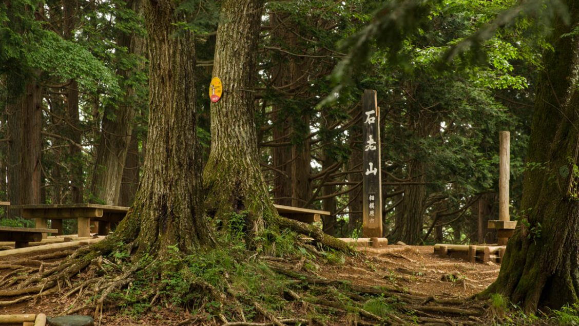
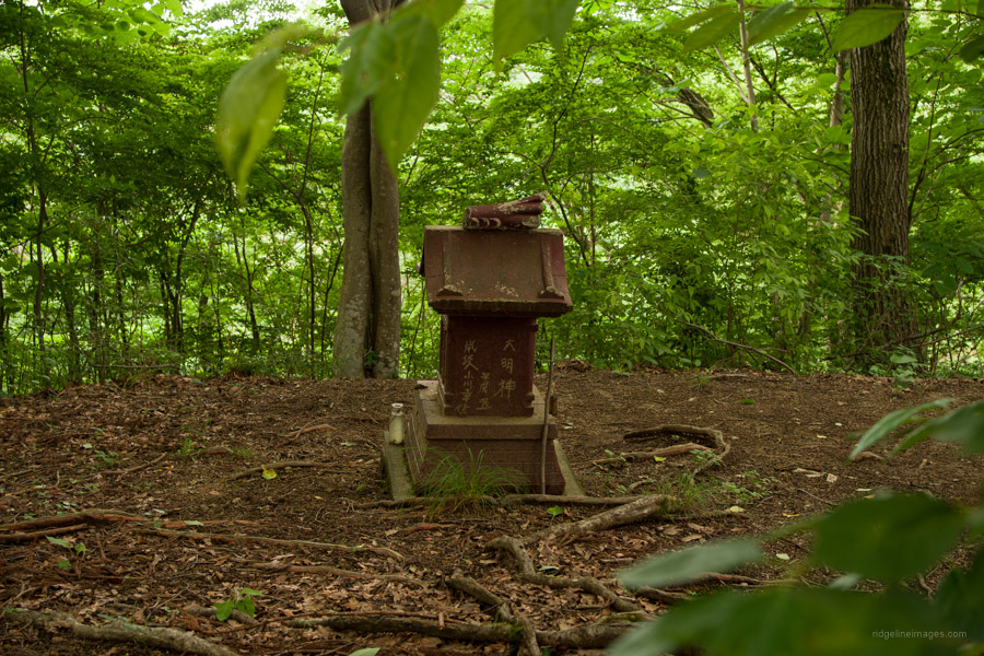
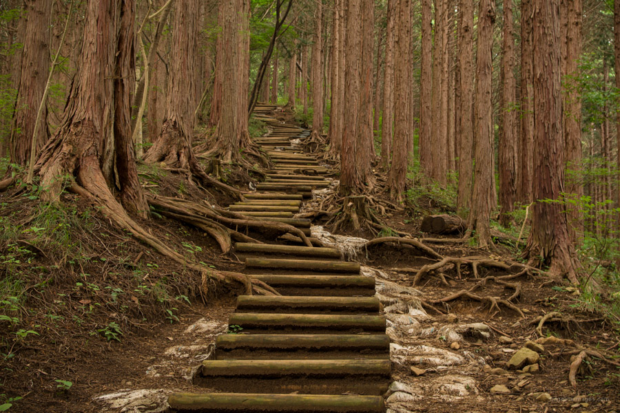
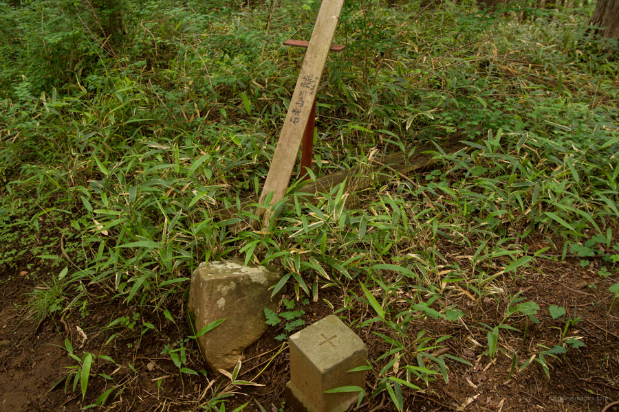
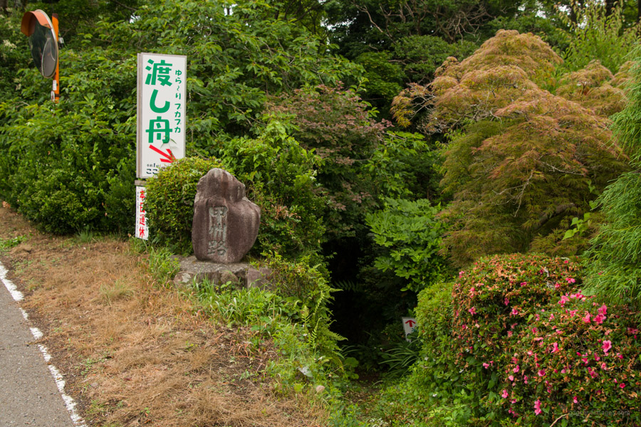
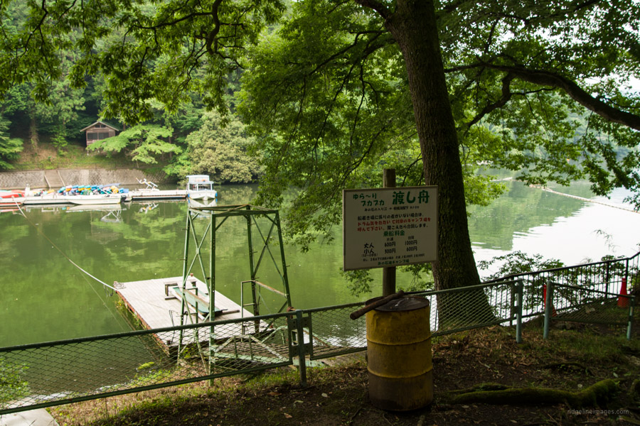
After leaving the observatory there is a short climb to a small maroon coloured shrine off to the left. Hereafter the undulating ridgeline has a rocky section and a long series of wooden stairs approaching the summit that intersects with the trail that runs up from Shinohara 篠原. The triangulation station is a little west of Mt. Sekiro’s 石老山 (694 m) summit. There are a number of benches at the side of the roped off Kenkyoji route. In fine weather views from the summit include Mt. Hiru and Fujisan. When you are rested up it’s simply a matter of retracing your steps all the way back to the bus stop. If you have time to kill before the bus arrives you can take a stroll down to Lake Sagami. For hot spring options, close at hand is the Lake Sagamiko Onsen Ururi Hot spring.


The conventional route from Kenkyoji Temple is open again. From what we are to ascertain, it opened again last year about a month after you hiked it. We parked at the Sagamiko Hospital that has a few hiker parking spaces. Nice views of Mt. Fuji from the summit picnic area.
It’s good to hear, and thanks for the update.