.
Kenkyoji Temple 顕鏡寺 – Daimyojin Observation Deck 大明神展望台
Distance: 8.5 km
Elevation change: 482 metres
Highest point: 702 metres
Start: Sekirozan Sanpaisha carpark
Finish: Sekirozan Sanpaisha carpark
Difficulty: ▅▅▅▅▅▅▅▅▅▅ ❸
Map: Yama to Kogen Chizu 山と高原地図 [No.29 高尾・陣馬 TAKAO·JINBA]
GPX TrackKML TrackGSI MAPPDF Topo Map
A Quiet Retreat Close to Tokyo
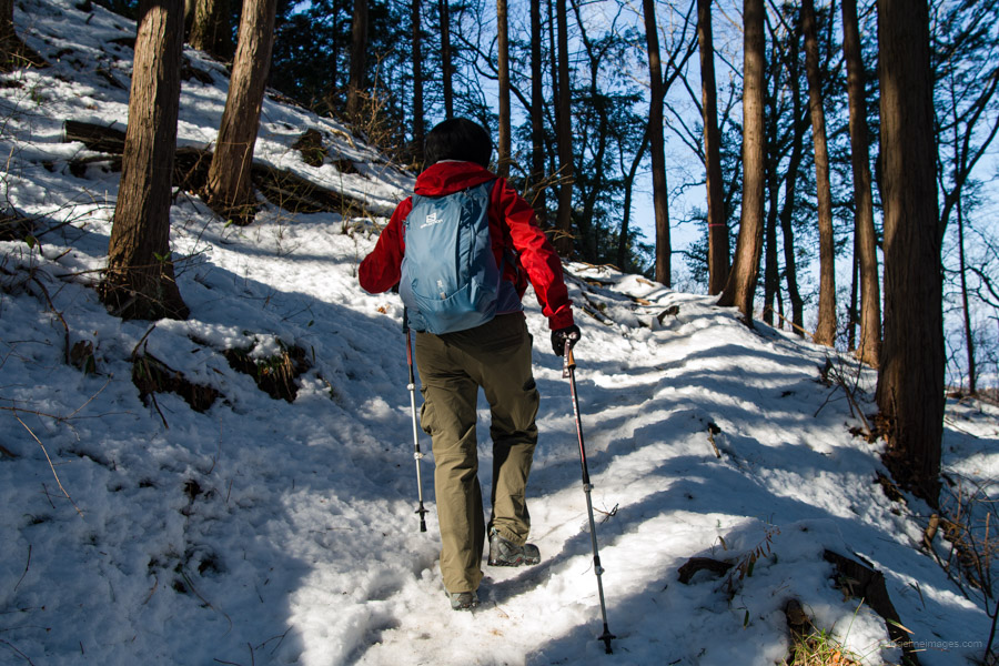
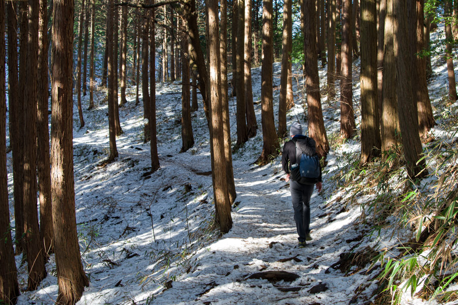
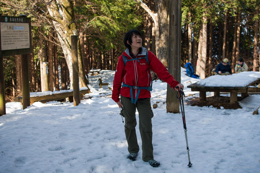
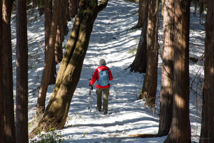
When I last visited Mt. Sekiro a couple of years ago in late spring, it was only accessible via an out-and-back hike from a trailhead created off Prefectural Route 517 that passed by the Daimyojin observation deck. Happily, that situation has been rectified, and it is now reachable again from Kenkyoji Temple, thanks to remediation work undertaken after Typhoon Hagibis. Following this week’s significant snowfall in the Kanto region, I was keen to give the loop course a try and was even successful in coaxing Akiko to join in on what was a terrific snow hike. Mt. Sekiro is one of the 100 Famous Kanto Mountains.
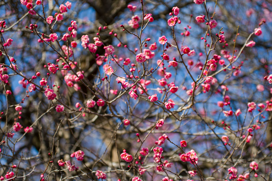
The mountain can be climbed year-round, but it is especially recommended in late autumn when the leaves change colour, in early winter when the shimobashira or ice flower blooms, and in spring when the mountain cherry blossoms bloom. However, it is also known for yamahiru leeches, so it is best avoided from July to September.
We drove to the Sekirozan Sanpaisha trailhead carpark 石老山参拝者駐車場, but it can just as easily be reached by a short bus ride from Sagamiko Station 相模湖駅. Head out to bus stand 1 and take a bus for Mikage 三ヶ木 and get off at the Sekrozan Iriguchi 石老山入口 bus stop (7 minutes, 240 yen). From the bus stop, it’s a 2-kilometre walk uphill to the trailhead next to Sagamiko Hospital.
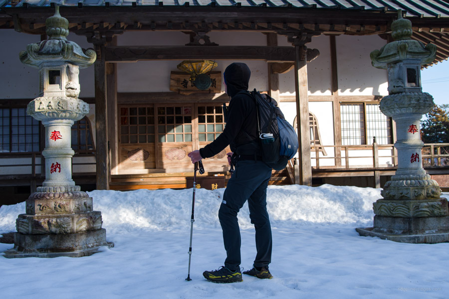
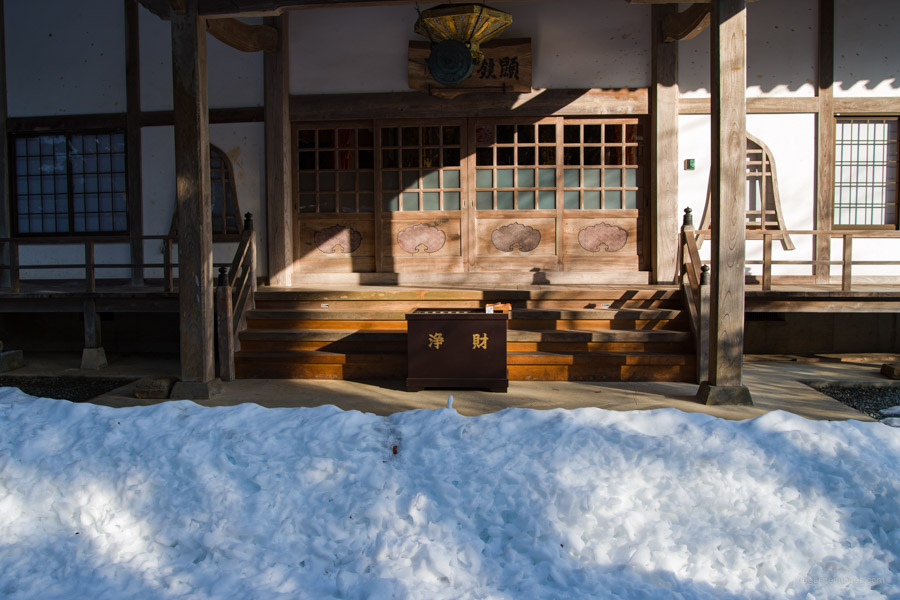
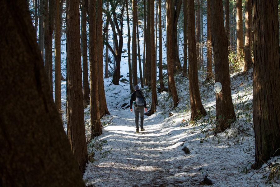
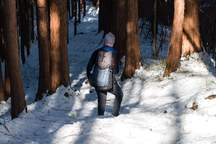
The trail commences at the far end of the parking lot. For the most part, the hike is well-marked and easy to follow, even in the snow. As you head up to Kenkyoji Temple 顕鏡寺, you’ll pass several large rock formations bearing signs that associate them with ancient legends. Before you reach the temple, there is an enormous 400-year-old Japanese cedar, the Jyabokusugi 蛇木杉. There are restrooms available at the rear of the Temple, .
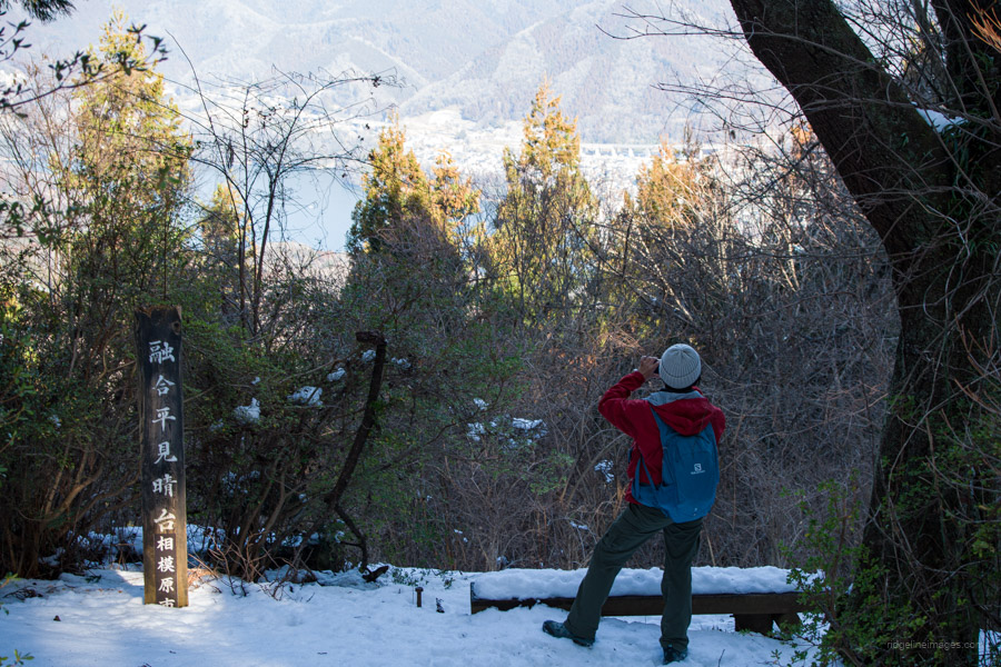
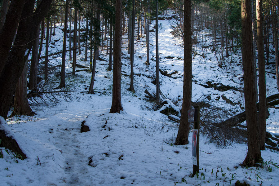
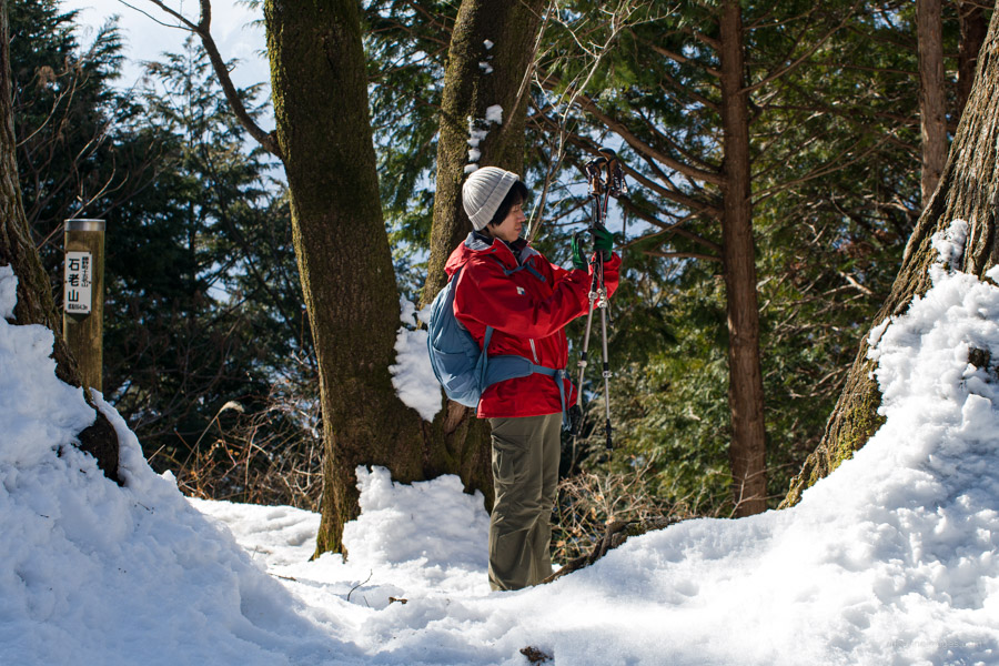
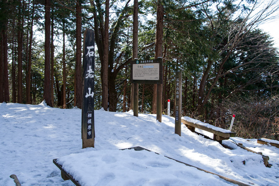
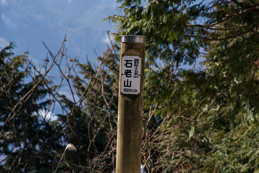
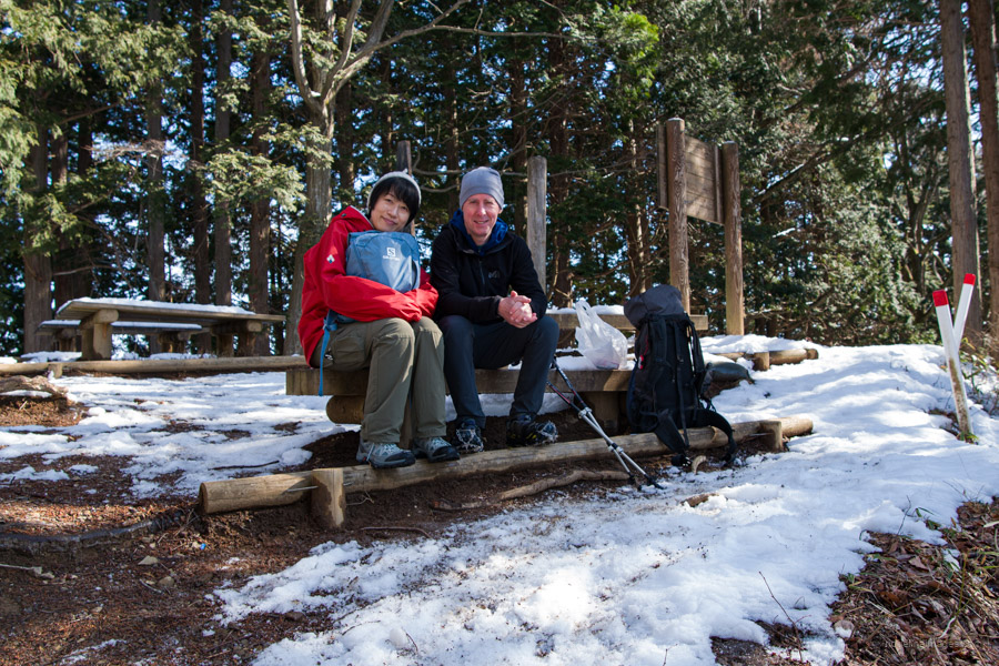
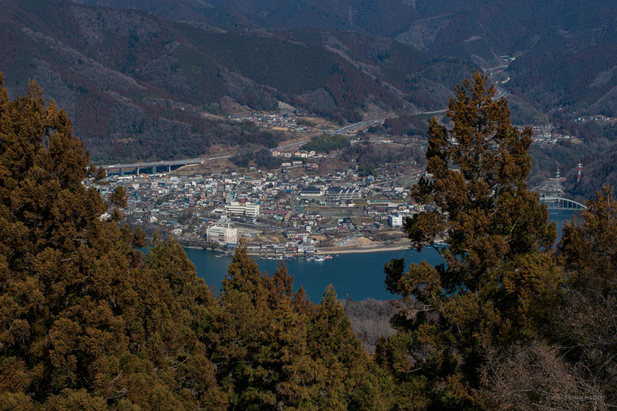
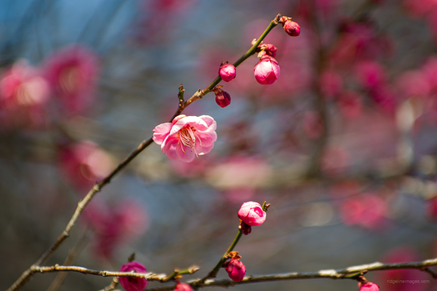
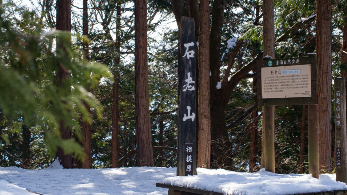
Just up from the temple, you can head straight or, alternatively, take the Sakuramachi route 桜道ルート, which passes by its namesake observatory. Mountain cherry blossoms bloom in spring along this route. After you return to the main trail, the summit is another 1.5 kilometres away. The next point of interest is the Yugohira Miharashidai Observatory 融合平見晴台, which looks over Lake Sagamiko and offers several benches for resting. After a final push, you’ll arrive at the summit of Mt. Sekirozan 石老山 (702 m). The triangulation station, which marks the true summit (694 m), is a little further to the west.
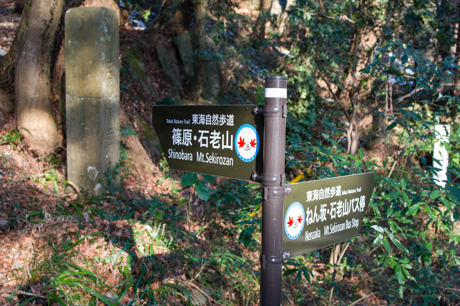
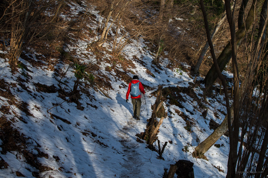
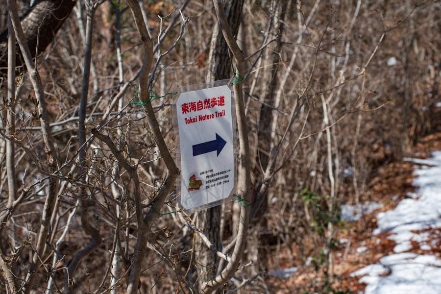
If the weather is favourable, views can be enjoyed of the Tanzawa Mountains and Mt. Fuji. If you still have a little fuel in the tank, the option exists to visit Mt. Takatsuka 高塚山, which takes around 30 minutes one way. Like Sekirozan, it falls along the Tokai Nature Trail; however, the summit is apparently heavily forested with limited views. After taking a break, head in the opposite direction to Mt. Takatsuka. At the trail branch, veer right towards the Daimyojin Observation Deck 大明神展望台 and Shinohara 篠原. Before reaching the observation deck, you’ll pass the maroon-colored Daimyojinyama shrine 大明神山.
After the observatory, follow the signs for Nenzaka ねん坂 and the Sagamiko Resort Pleasure Forest さがみ湖リゾートプレジャーフォレスト. The trail down to the paved road is rather steep as it weaves its way through moss-covered rocks. After you reach the road, there are restrooms on your left side, along with a campground. Once you reach National Route 413 and the Pleasure Forest bus stop, turn right and then right again at the Sekrozan Iriguchi bus stop, which will lead you back to the parking lot to complete the loop.