.
Umenokidaira 梅ノ木平 – Odarumi Pass 大垂水峠 – Mt. Takao 高尾山
Distance: 17.7 km
Elevation change: 480 metres
Highest point: 670 metres
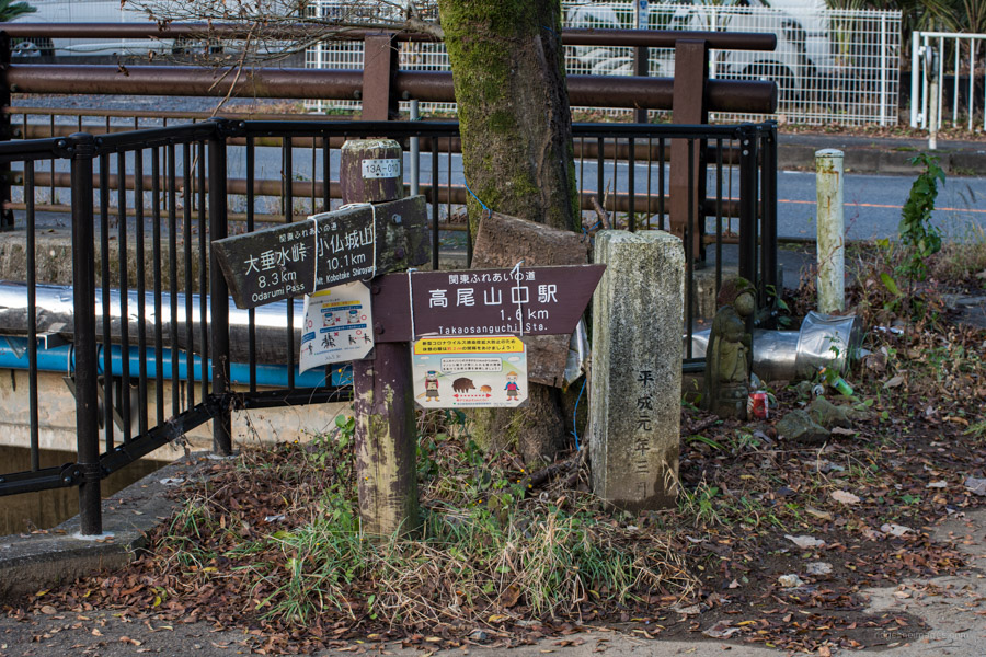
Start: Takaosanguchi Station (Keio Takao Line)
Finish: Takaosanguchi Station (Keio Takao Line)
Difficulty: ▅▅▅▅▅▅▅▅▅▅ ❸
Map: Yama to Kogen Chizu 山と高原地図 [No.29 高尾・陣馬 TAKAO·JINBA]
GPX TrackKML TrackGSI MAPPDF Topo Map
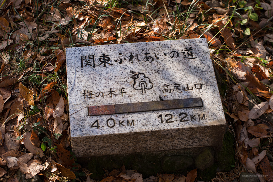
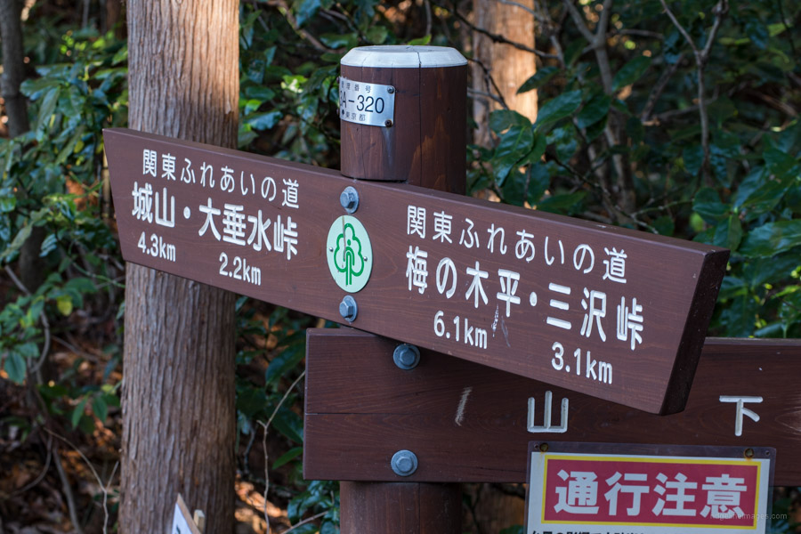
Kanto Fureai no Michi Lake Trail
About an hour hike northwest of Mt. Takao finds Mt. Kobotoke-Shiroyama which straddles Tokyo and Kanagawa. The first hike I ever posted on this blog crossed this mountain on the way down to Lake Sagami. This time I take a longer approach via the Kanto Fureai no Michi 関東ふれあいの道 (Greater Tokyo Area Nature Trail) following a ridgeline south of Takaosan. Unlike Mt. Takao’s eight hiking courses which heave with hikers especially on weekends comparatively few tackle this southern ridge course.
From Takaosanguchi Station turn right and head up the main road shadowing a stream on your right. After passing under the freeway flyover and crossing a pedestrian bridge shortly thereafter you’ll reach Umenokidaira 梅の木平 which marks the beginning of the Lake Trail (Mizuumi no michi) section of the Kanto Fureai no Michi. Kanachu runs an infrequent bus service from the station but as the first morning bus doesn’t depart until 10:14 you’re far better off just walking the 1.6 km.
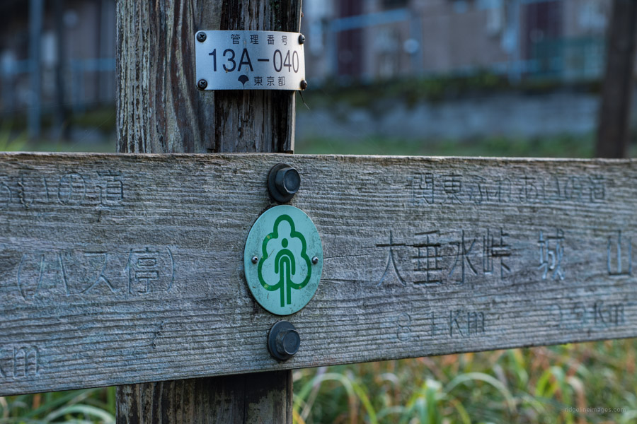
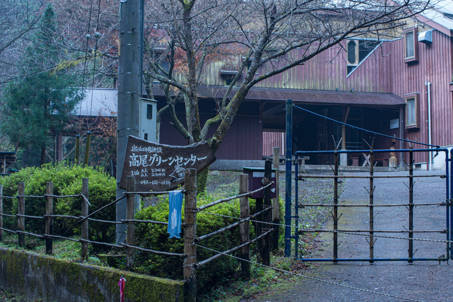
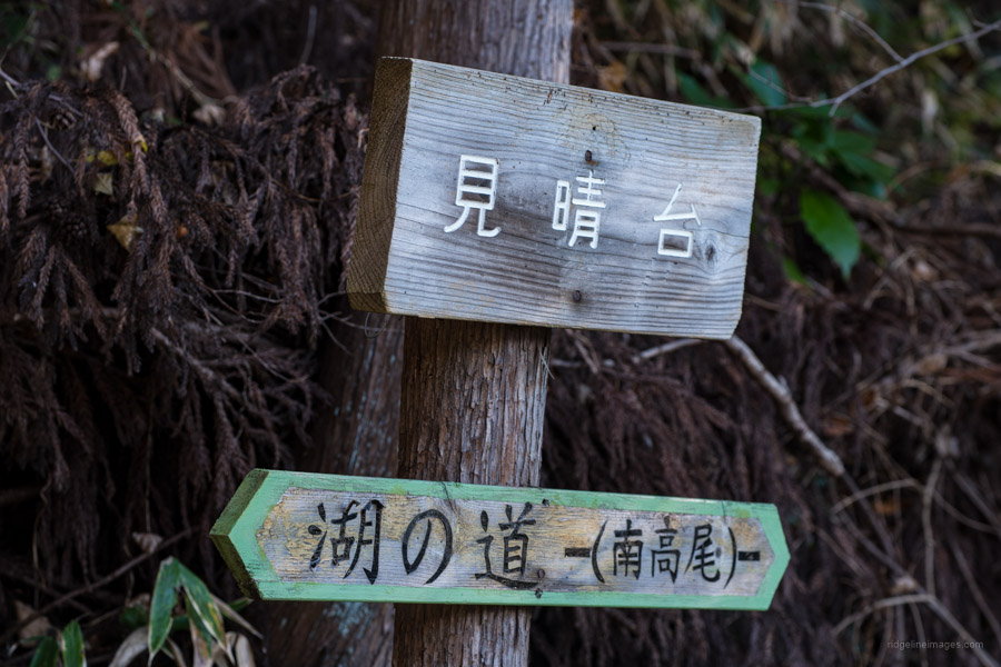
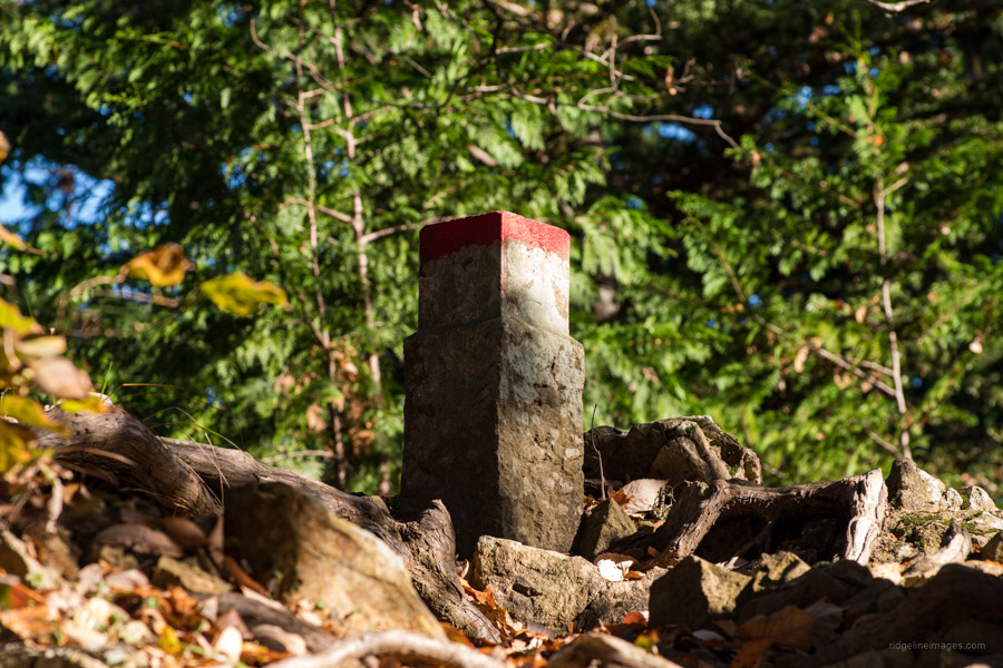
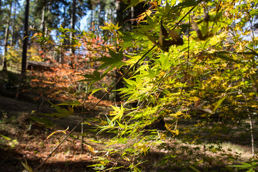
The trail is well marked albeit a number of the signs are faded or missing the ubiquitous round light green logo. As you wander the quiet backroads the first landmark to look for is the uber-delicious Ukai Chikutei restaurant nestled in manicured gardens. Stick to the gentle sloping forestry road and keep an eye on the odd sign pointing towards Takao Green Center 高尾グリーンセンター and thus the trailhead proper.
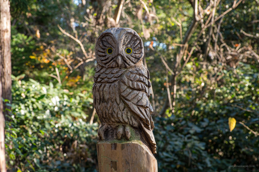
From the chained off road, the trail narrows as it winds its way up to Misawa Pass 三沢峠 which has some wooden tables. To the east a path heads up to Mt. Kusatoyama 草戸山 overlooking Shiroyama Lake and is an alternative route to Misawa Pass from Takaosanguchi Station. After taking a short break continue west along the Kanto Fureai no Michi. The undulating ridgeline first climbs Mt. Takamitsu-Terayama 泰光寺山 475 m and on the descent passes a cool looking owl carved from a tree stump.
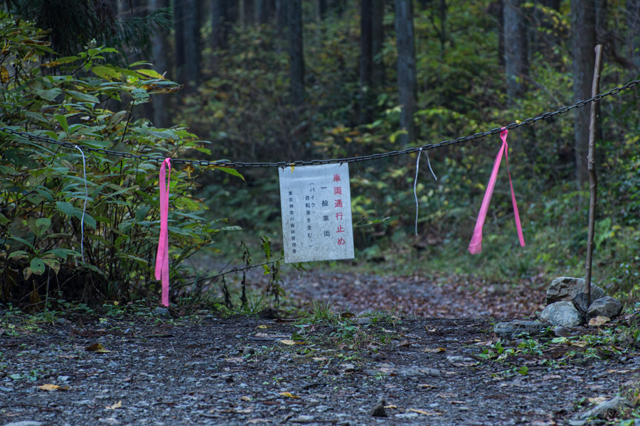
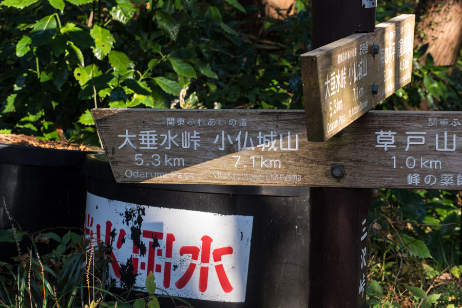
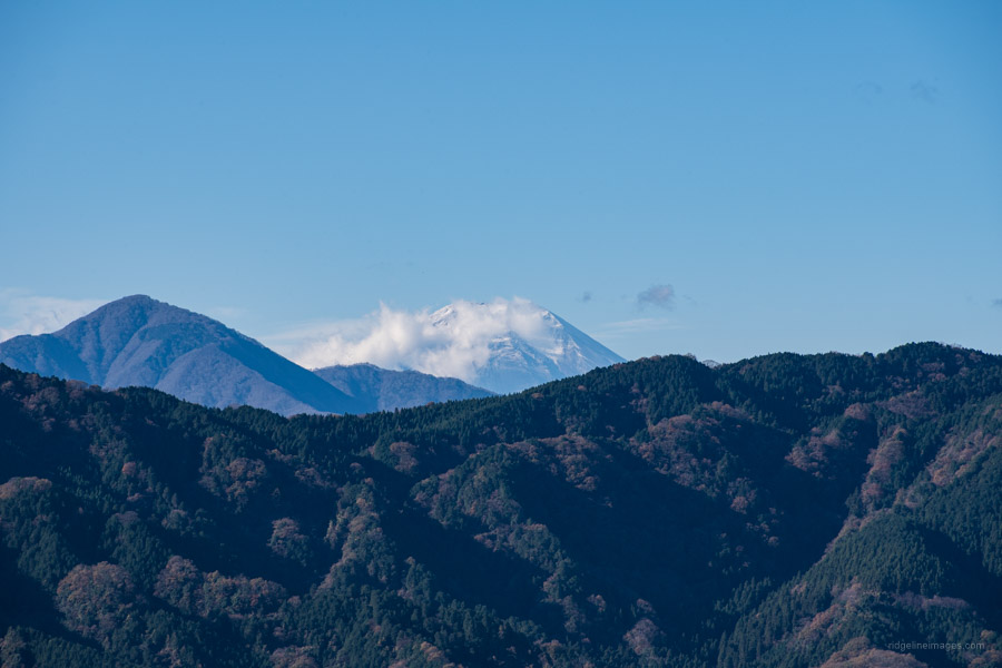
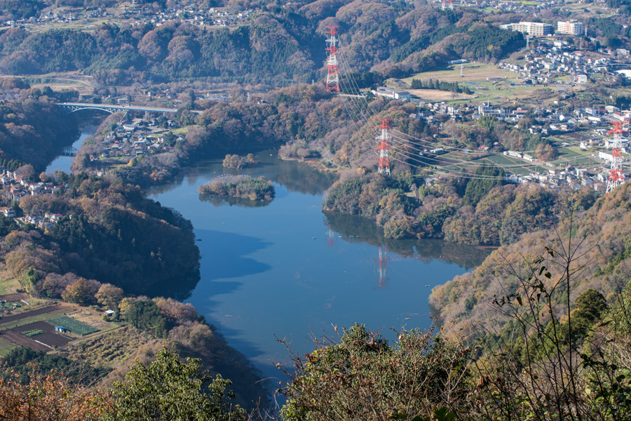
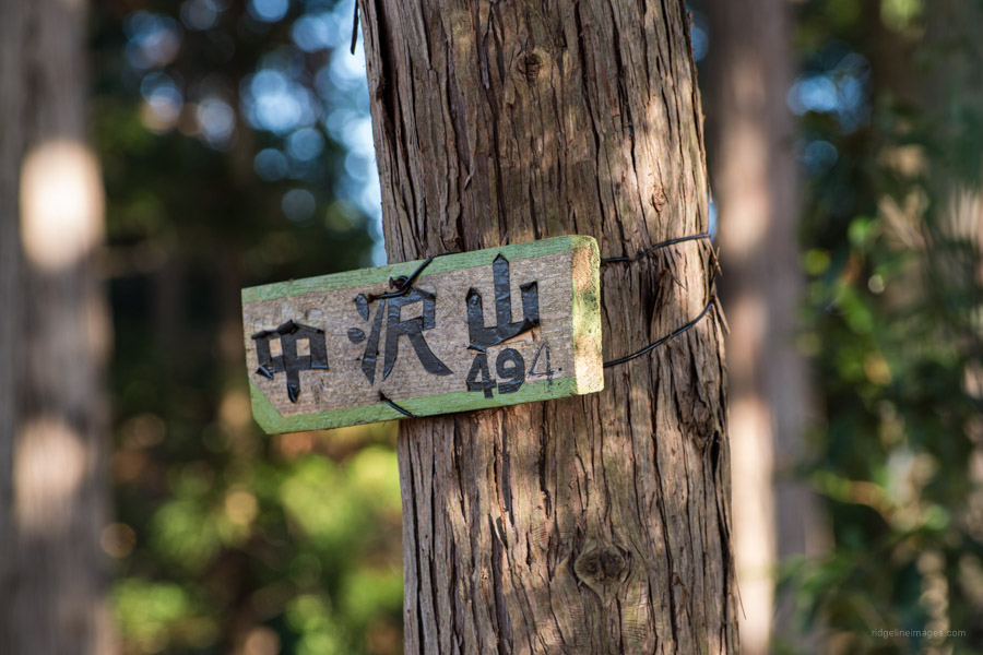
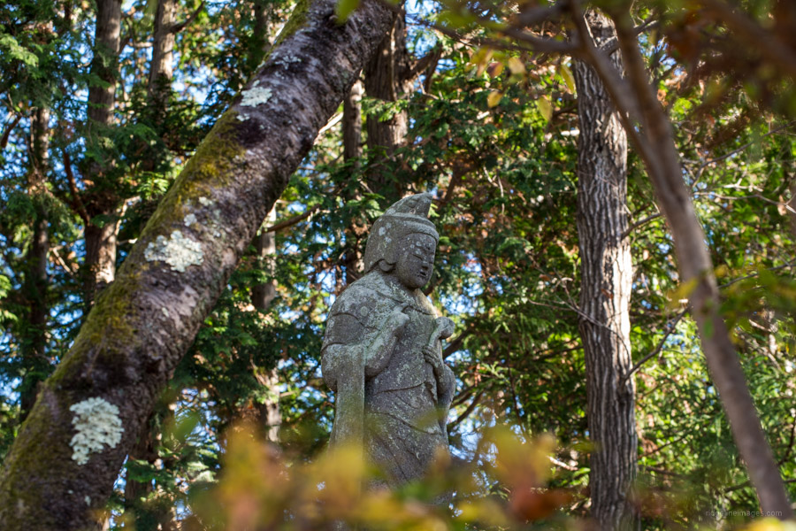
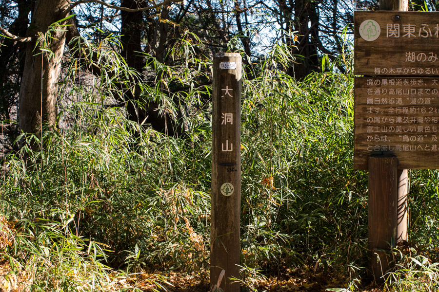
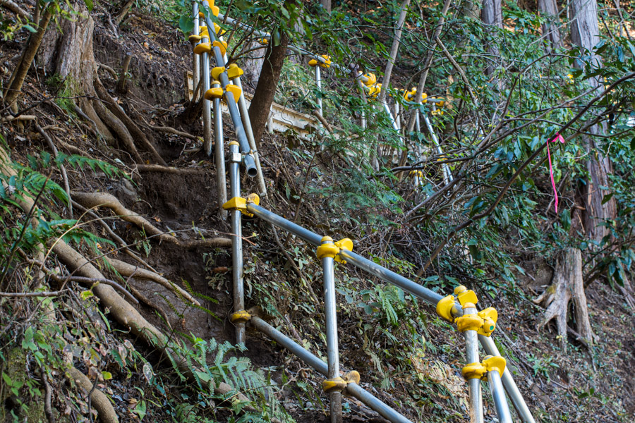
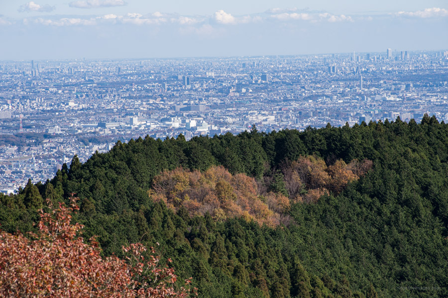
About 40 minutes from Misawa Pass the outlook finally opens up with views of the Tanzawa range, Fujisan, and Tsukui Lake 津久井湖 below. Next up is a short ascent to Mt. Nakazawa 中沢山 494 m adorned with a stone kannon and Nakazawa Pass 中沢峠 denoted by a simple triangulation point. There are plenty of maki-michi まき道 or winding paths around rather than over these peaks to save time and effort. The final two ‘mountains’ before arriving at Otarumi Pass 大垂水峠 are Mt. Konpirayama コンピラ山 515 m and Mt. Obora 大洞山 536 m. Otarumi Pass was another casualty of Typhoon Hagibis and has temporary scaffolding propping up the trail.
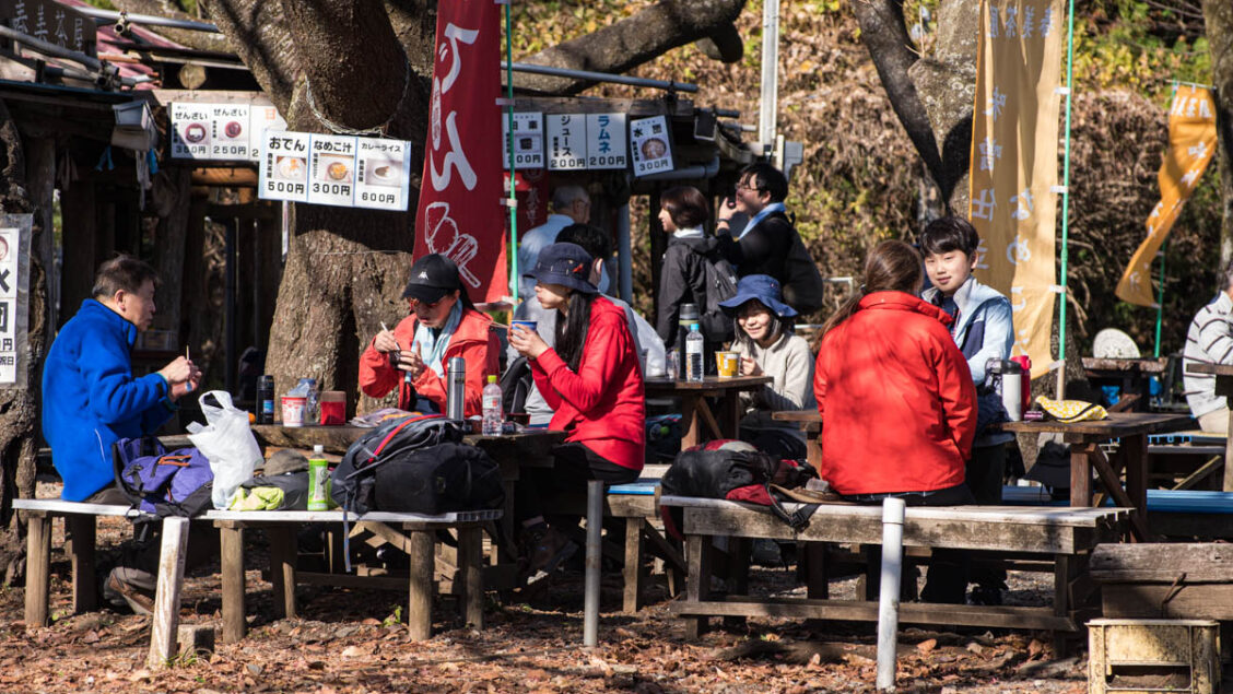
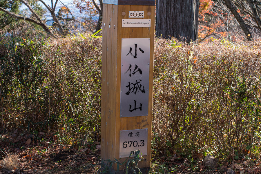
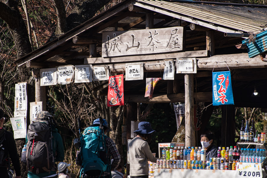
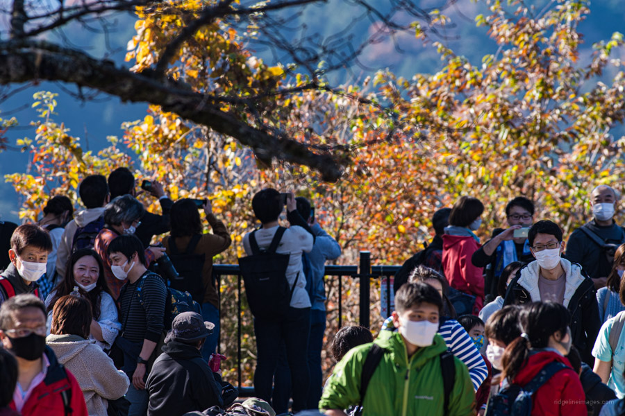
Immediately after crossing the footbridge over the National Route 20 (Koshu Kaido) turn left and look for some stairs that re-join the mountain trail. From here you need to regain lost elevation as you head up to Mt. Kobotoke-Shiroyama 小仏城山 670 m the highest point along the hike. It will take around an hour to reach a trail branch which puts you within 100 metres of the summit. The mountaintop is home to two teahouses, the Shiroyama Teahouse on the Kanagawa Prefectural side, and Harumi Teahouse on the Tokyo side which do a brisk trade on weekends.
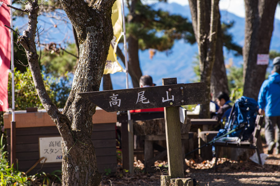
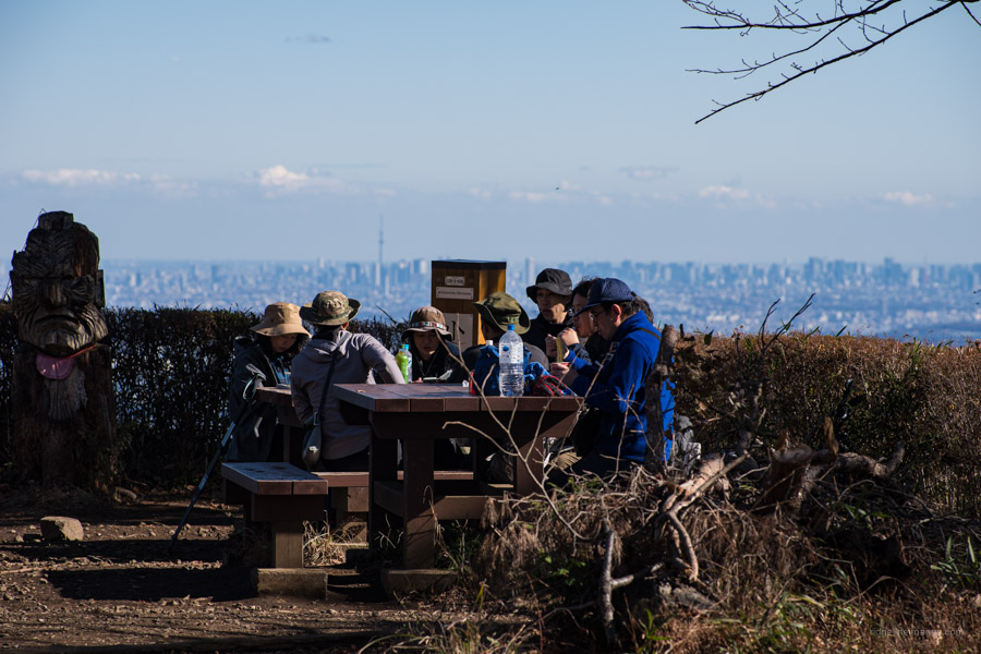
Up to this point I had passed perhaps a dozen hikers even though it was a sunny autumn morning however once I entered the main thoroughfare the teeming masses materialised. A good place to have lunch is on an open grassland about 20 minutes back towards Mt. Takao. From this lunch spot it’s an easy 30-minute hike to Mt. Takao 高尾山 599 m and a further hour after that via the Inariyama Trail back to Takaosanguchi Station.


I was thinking of trying a different route at Takao and thought this would be a good option. This note troubled me: “From Takaosanguchi Station turn right and head up the main road shadowing a stream on your right. After passing under the freeway flyover and crossing a pedestrian bridge shortly thereafter you’ll reach Umenokidaira 梅の木平 ….” Is this correct? Turn right from the Keio Line Takaosanguchi Station? It seems you should turn left as turning right leads to the cable car and normal trails. Just a bit confused before I even head out.
That is indeed correct, Tom. I probably should have also added “From Takaosanguchi Station…cross the small stream in front of you…turn right and head up the main road”. The main road being National Route 20 (Koshu-Kaido Ave). Please also check the map above which plots out the hiking route. Sorry for the confusion 🙂