.
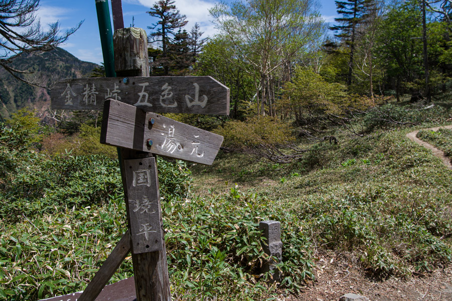
Mt. Mae-Shirane 前白根山 – Midaga Pond 弥陀ヶ池 – Mt. Goshiki 五色山
Distance: 13.3 km
Elevation change: 1098 metres
Highest point: 2578 metres
Start: Nikko Yumoto Campground
Finish: Nikko Yumoto Campground
Difficulty: ▅▅▅▅▅▅▅▅▅▅ ❹
Map: Yama to Kogen Chizu 山と高原地図 [No.13 日光 NIKKO]
GPX TrackKML TrackGSI MAPPDF Topo Map
Scaling Kanto’s Highest Peak the Hard Way
Mt. Nikko-Shirane, aka Mt. Oku-Shirane 奥白根山, is an active volcano that falls along the Gunma-Tochigi prefectural border. It is both one of the 100 famous mountains in Japan and the highest peak in the Kanto Region. It has five main attack routes to the summit. From the Tochigi side, there are two courses that commence from Yumoto Onsen, which is the only practicable option if you are coming via public transport, along with a trailhead further up the road at Konsei Pass (private car required). On the Gunma side, a more direct approach to the summit is possible using the ropeway from Marunuma Kogen along with the popular Suganuma trailhead, though for these you’ll similarly need your own wheels. The best time to climb is from June through August, when many alpine flowers are in bloom, and early October during the autumn foliage and before the first snowfall.
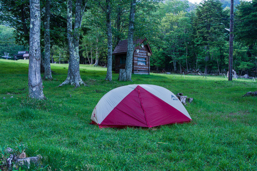
Getting to Yumoto Onsen 湯元温泉 is a bit of a mission, and a very early start is required if you’re planning to knock this off in one day. In the past, I have used the Tobu Line, which runs between Asakusa and Tobu-Nikko; however, this time, I used the JR Line to Nikko Station 日光駅, transferring at Omiya and Utsunomiya. The Nikko All Area Pass (4,780 yen, valid for two consecutive days) provides good value if you’re travelling via Asakusa and also includes the return bus ride to Nikko Station. Regular buses to Yumoto Onsen depart from bus stop 2A outside Tobu-Nikko Station (90 minutes, 1,950 yen). Given the long travel time, it’s a good idea to head up the previous evening and camp at the Nikko Yumoto Campground (1,000 yen). The campground fee is payable at the Nikko Yumoto Visitor Center (open daily from 9 am to 4 pm).
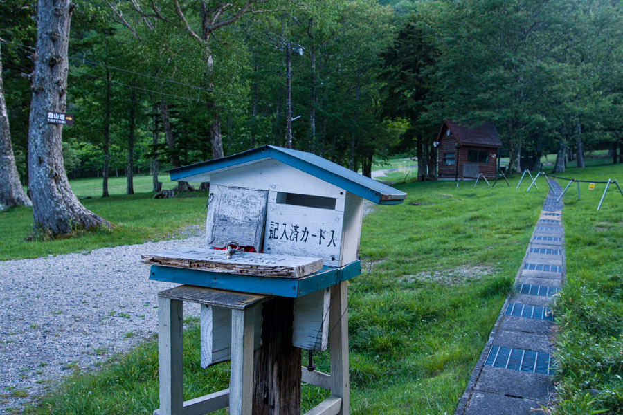
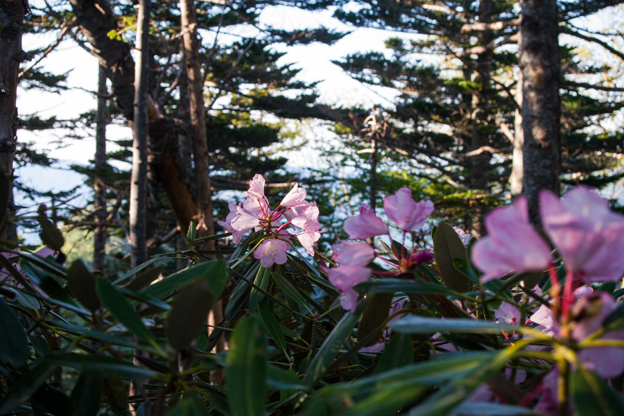
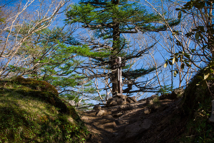
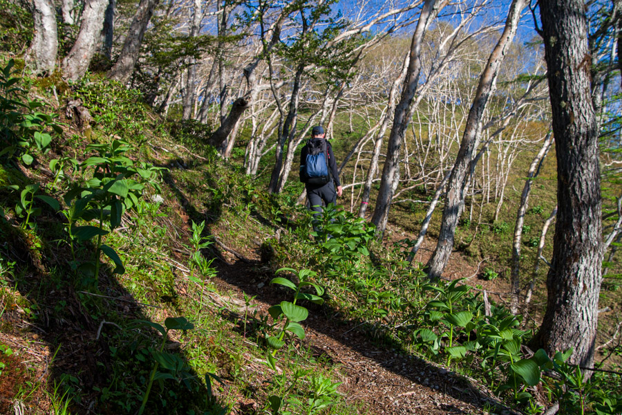
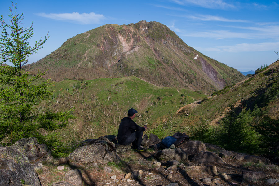
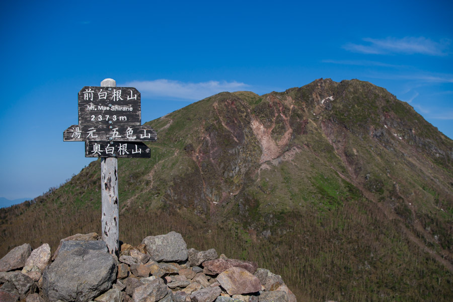
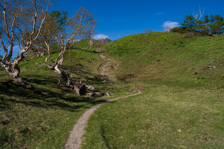
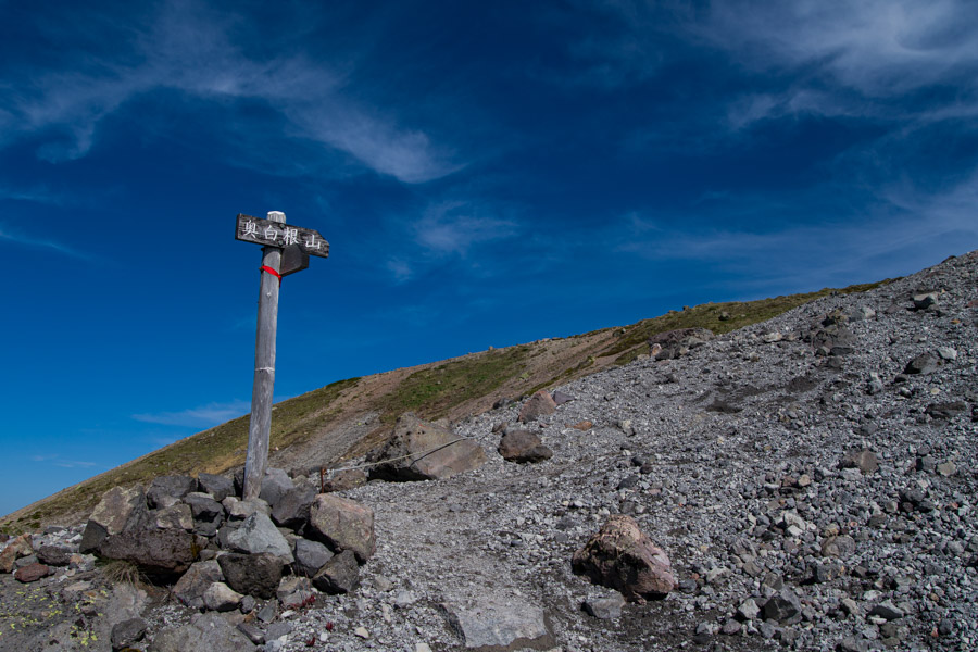
The hike can be undertaken in either direction, but following in a clockwise manner works best if starting from the campground and also bears the best views in the morning. I left at 4:30 am and collected my tent on the way back. The trail kicks off at the tozan posuto box at the back of the campground, where you can register your hiking plan. Walking up through the ski resort brings you to the trailhead proper, where full-fledged climbing begins. The first section of trail to the Toyama saddle 外山鞍部 is the steepest on the entire hike and often has you moving on all fours as you scramble over exposed tree routes. The map time suggests 90 minutes, but it took a little over half of that. From the Toyama saddle, it’s a gentle climb through Tengu-daira 天狗平 as you proceed towards Mt. Mae-Shirane 前白根山 (2373 m). In June, the Shakunage rhododendrons add a pink hue to the trail. Note that there is no trail to Mt. Toyama itself.
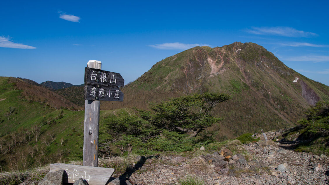
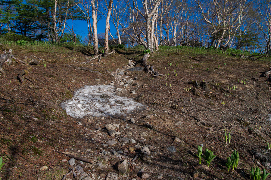
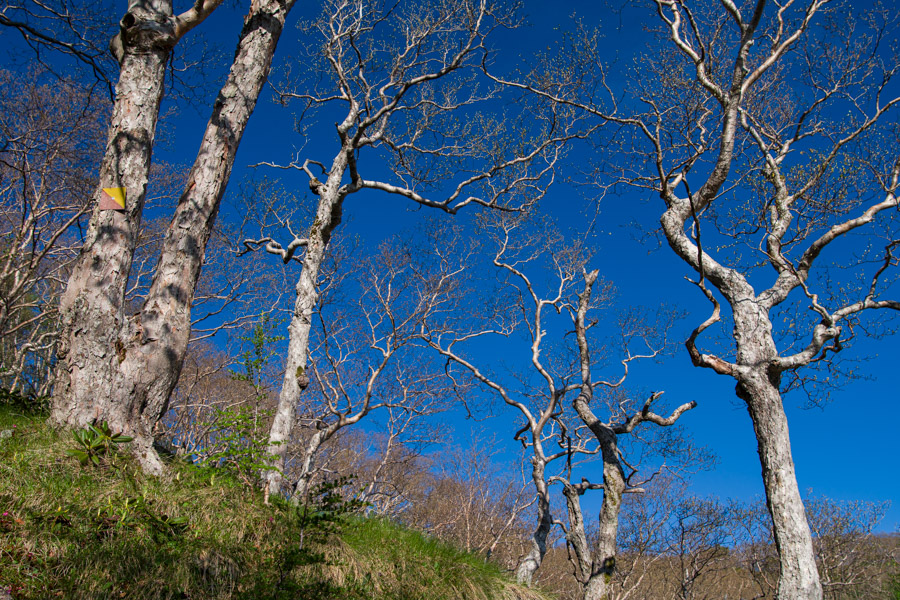
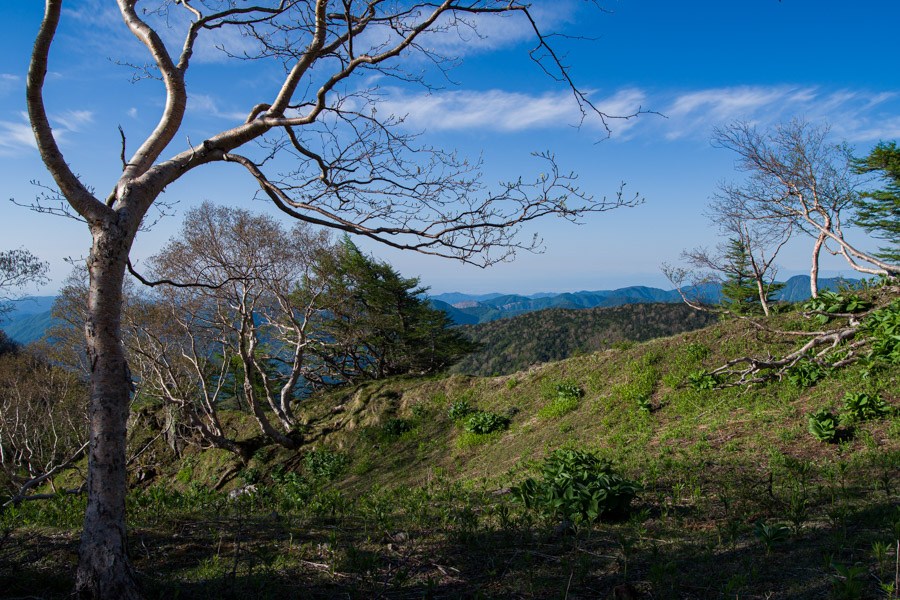
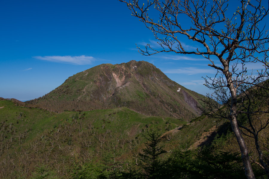
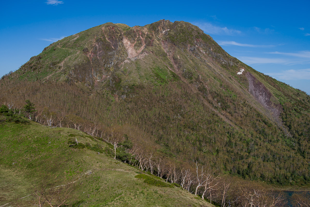
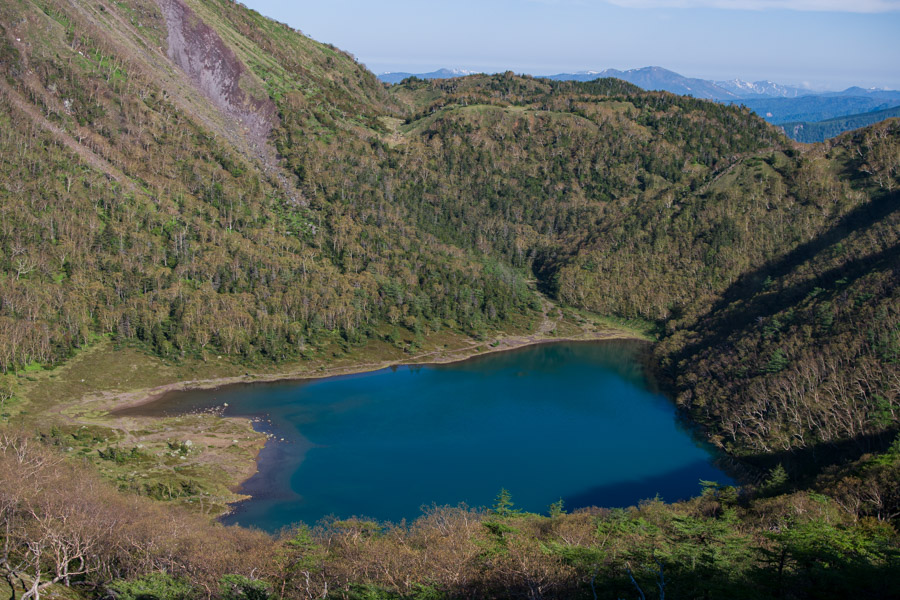
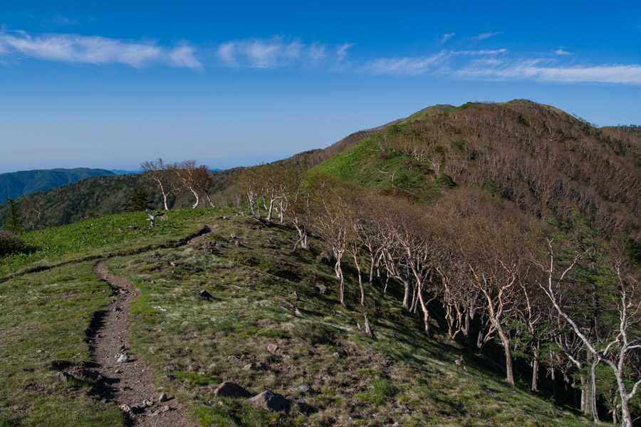
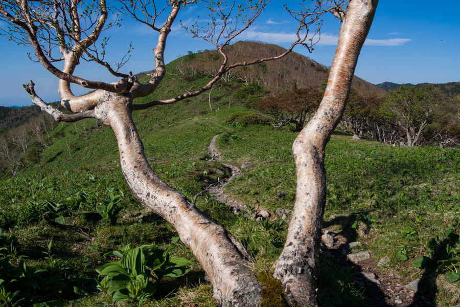
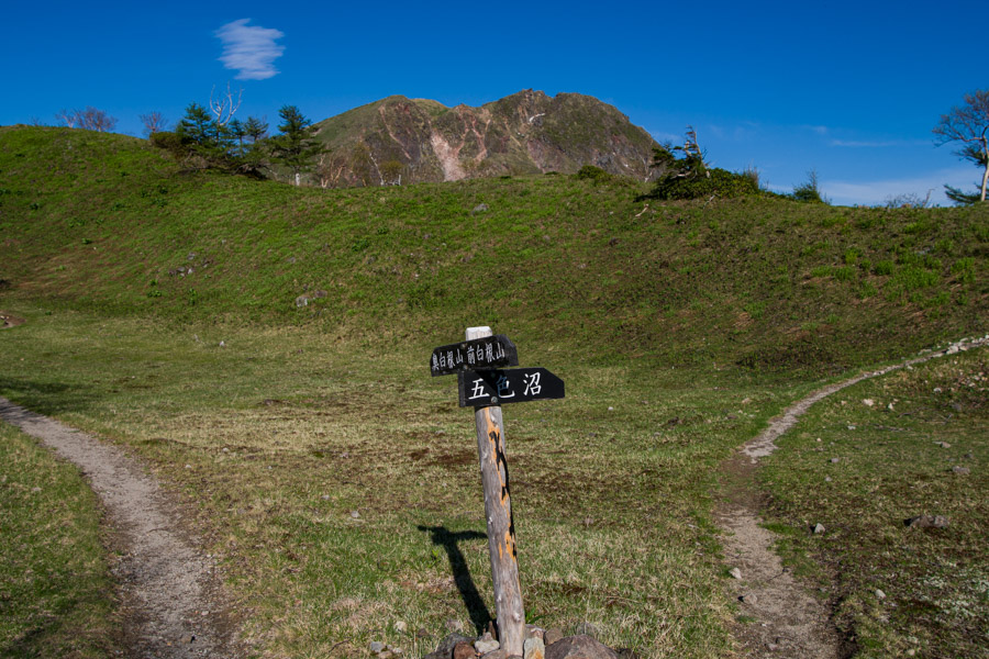
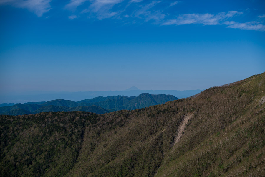
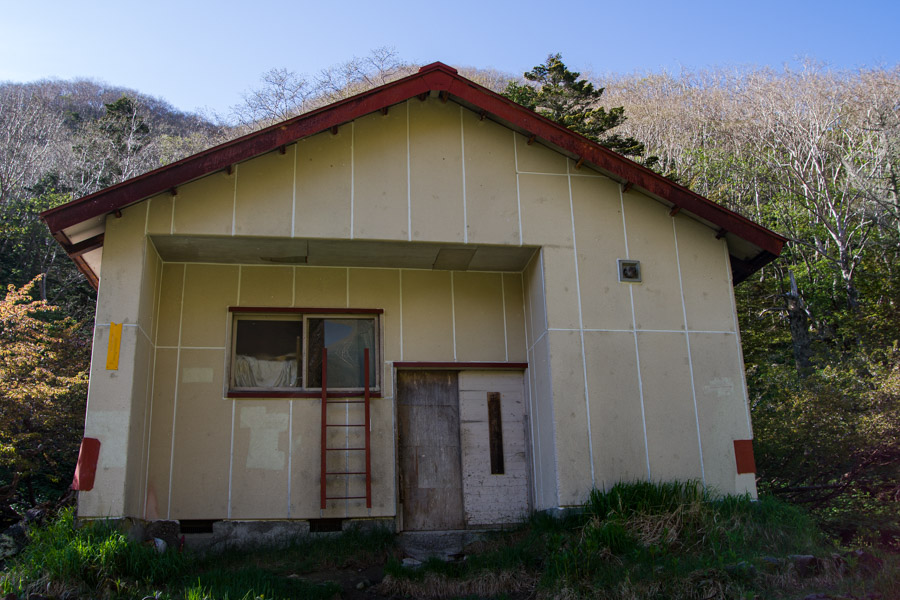
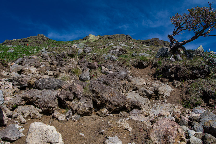
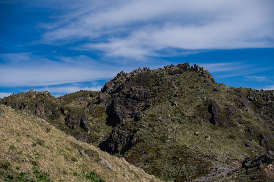
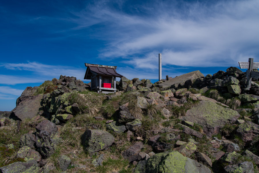
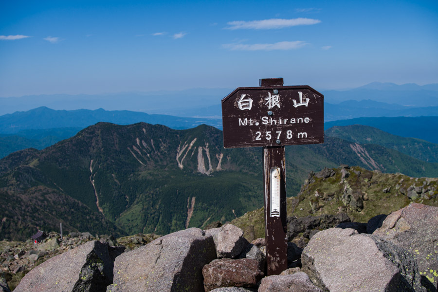
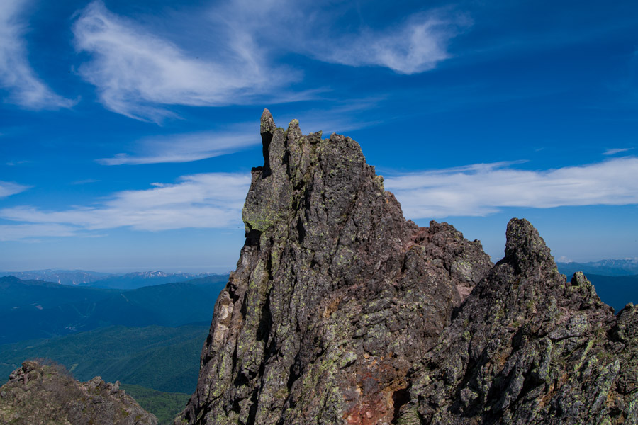
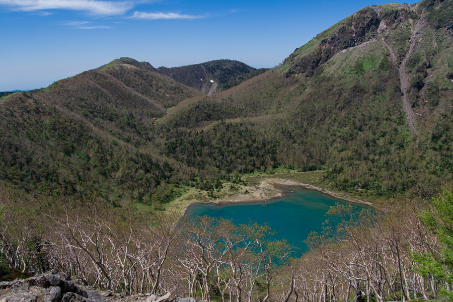
Even in mid-June, most trees were still sporting their shinryoku (new green leaves), and small pockets of residual snow remained. At Mt. Mae-Shirane, the trail intersects with the one from Konsei Pass 金精峠 and offers an impressive view of both Mt. Nikko-Shirane and Goshiki-Numa Lake 五色沼 below. From the summit, the trail twists and turns its way down to the ridge and soon thereafter descends to the Goshikinuma refuge hut 五色沼避難小屋. The hut is in rough shape, and you’d need to be in pretty dire straits before contemplating spending a night there. The final push to Mt. Nikko-Shirane (2578 m) is moderately steep. After passing the seismically active crater and a small shrine, the true summit is reached. The expansive panorama includes the snowcapped Northern Alps, Mt. Hiuchigatake, Mt. Aizu-Komagatake, and incredibly even ol’ Fuji-san.
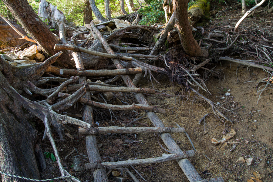
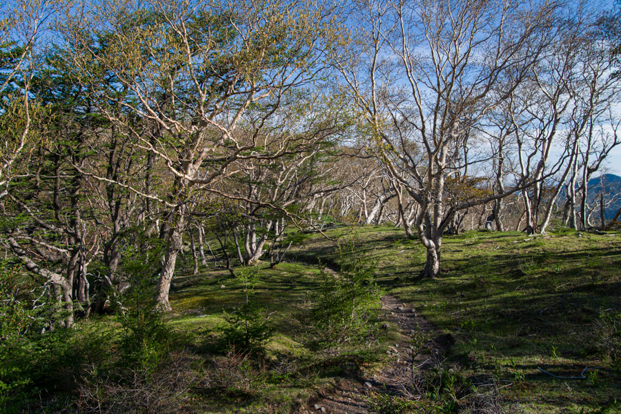
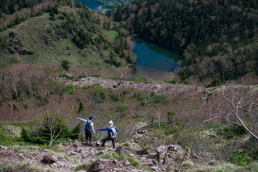
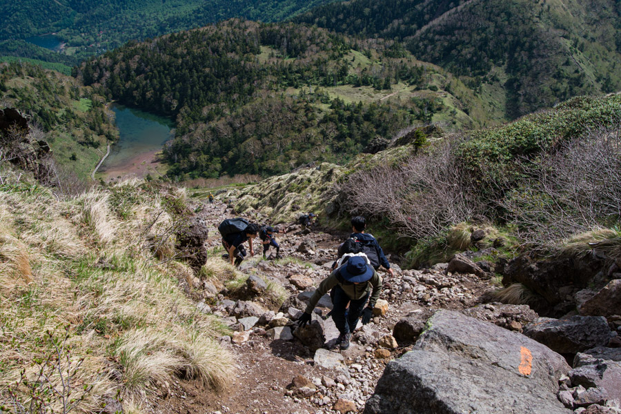
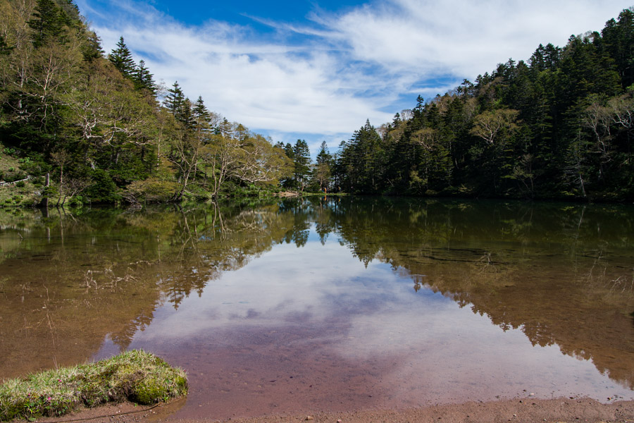
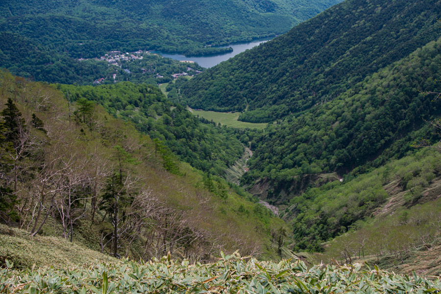
The drop down to Midaga Pond 弥陀ヶ池 is noticeably steeper than the trail up from the refuge hut. Watch out for falling rocks on the scree slope. Midaga Pond is a picturesque spot to take a well-earned rest. From the pond, continue up to Mt. Goshiki 五色山 (2379 m). The summit affords a nice view of Goshiki-Numa Lake, and the refuge hut can also be made out. After another 30 minutes of hiking, you’ll arrive at Kokkyo-daira 国境平. As you descend to Yumoto Onsen via the Nakasone Course 中曽根コース, Lake Yuno 湯ノ湖 can be seen in the distance. This final section, like the trail on the ascent, is not well maintained, with overgrown, head-high dwarf bamboo coupled with muddy areas.


Nice!
Believe me, it was 🙂