.
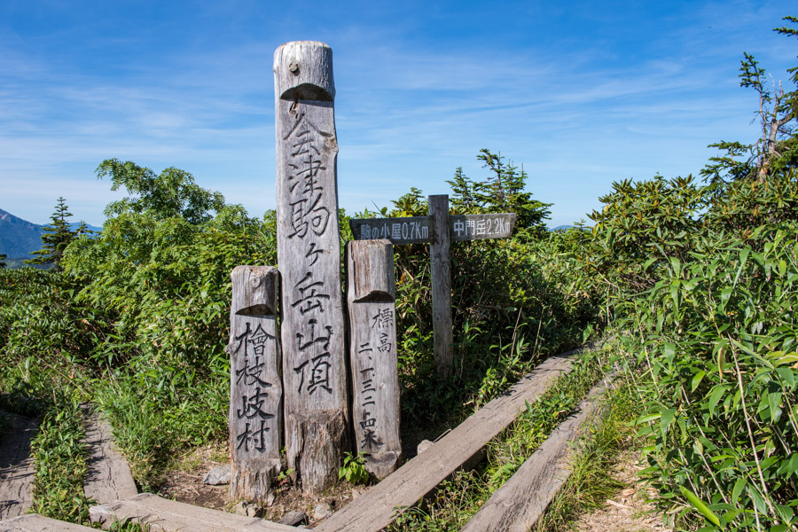
Komanogoya 駒ノ小屋 – Chumon-dake 中門岳
Distance: 17.6 km
Elevation change: 1233 metres
Highest point: 2133 metres
Start: Mitori Auto Campground
Finish: Mitori Auto Campground
Difficulty: ▅▅▅▅▅▅▅▅▅▅ ❹
Map: Yama to Kogen Chizu 山と高原地図 [No.14 尾瀬 OZE]
GPX TrackKML TrackGSI MAPPDF Topo Map
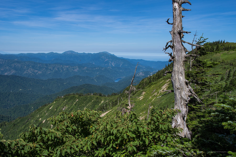
Primeval Beech Forest Gives Way to Alpine Marshland
Mt. Aizu-Komagatake or simply Aizu-Koma is a vast expanse of rolling marshlands, limpid ponds and flower fields in Minamiaizu, Fukushima Prefecture. The scenery is reminiscent of Ozegahara especially the ridgeline between Aizu-Komagatake and Chumon-dake with its pint-sized lakes and wildflowers which bloom in the summer. Day hikes are doable provided you make an early start or alternatively can be split over two days by spending a night at the Komanogoya hut.
The quickest access from Tokyo entails boarding one of four daily Limited Express Revaty Aizu trains which run between Tobu Asakusa and Aizu Tajima. Get off at Aizukogen-Ozeguchi Station 会津高原尾瀬口 (3hrs, 4,520 yen). After exiting the station, head down to the small shop and purchase an Aizu Bus ticket bound for Hinoemata 檜枝岐 (1 hr 10 mins, 1,790 yen). Get off at Komagatake tozanguchi 駒ヶ岳登山口 or アルザ前 Aruza mae one stop before if you’re camping or staying at a minshuku.
Interestingly there’s a ‘Midnight Masochist Express’ version of this train which departs Friday and Saturday evenings at 23:55 arriving at 03:18 with a connecting bus at 04:20 (they let you stay on the train until 03:50). Only recommended if you truly must knock off the hike in a day. Personally, if the option is to hike sleep deprived or not at all I’d choose the latter. Far better off travelling up the previous day and resting up. All told it took just on 6 hours to reach the campground from west Tokyo.
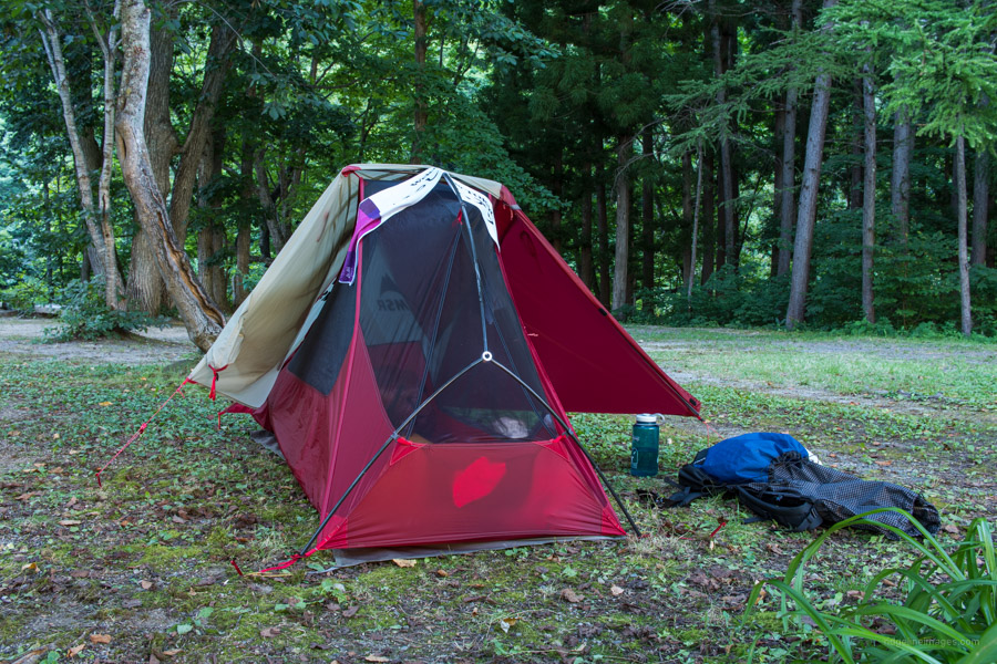
First night at the Mitori Auto campground (1,000 yen) there were four other campers, by the second night just moi courtesy of COVID. One downside of the campground is it sits beside the main road but otherwise it’s shaded and located not too far from the trailhead. If you stay two nights or longer, they sell discount tickets for the Aruza hot spring アルザ温泉 located in the Hinoemata michi-no-eki roadside rest area for 400 yen.
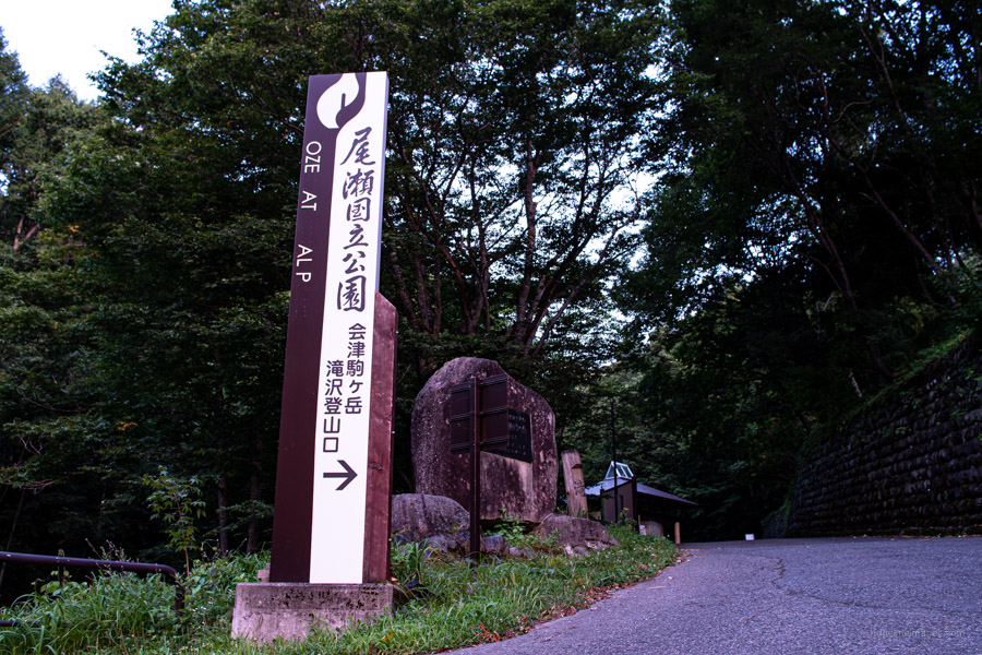
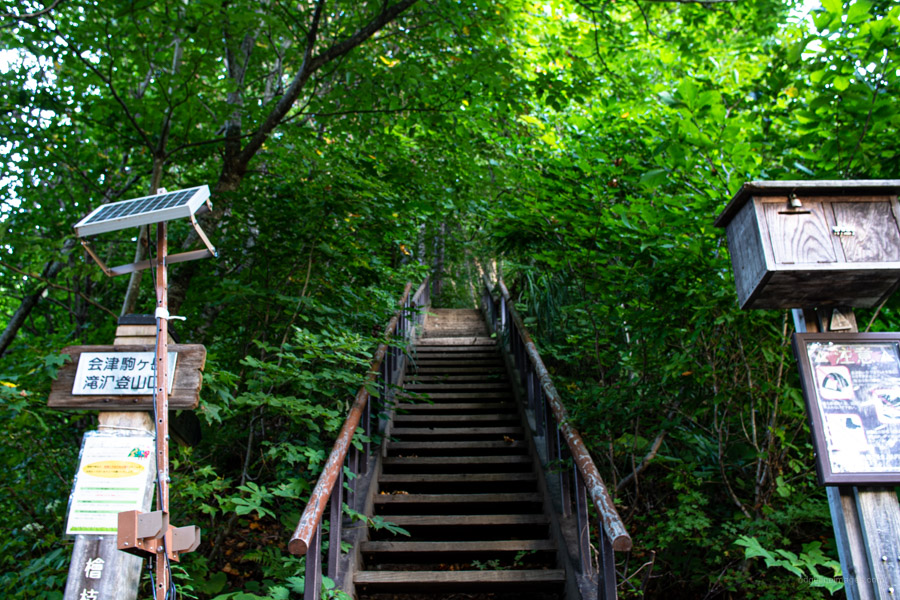
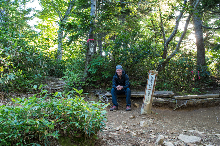
Tip number one, if you plan on climbing Aizu-Koma during the summer get an early start as by mid-morning the sun will be beating down on you. For the record I left the campground at 04:30. From the Komagatake tozanguchi bus stop it takes 30 minutes to reach the Takisawa trailhead. Head up the road past some toilets after 10 minutes the first marker you should look for is on the left-hand side (this isn’t the trailhead, but a shortcut bypassing a section of road you’re walking). The start of the trail begins just after the carpark at a staircase leading into the forest. Note the trail to the two-tiered Ryumon Waterfall lookout 竜ノ門の滝展望台 is currently closed due to damage inflicted by last year’s Typhoon Hagibis.
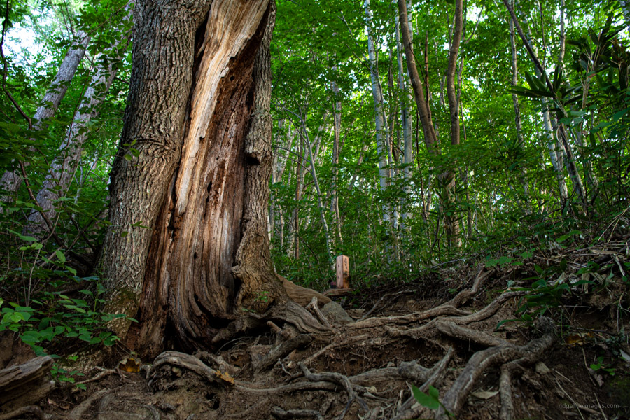
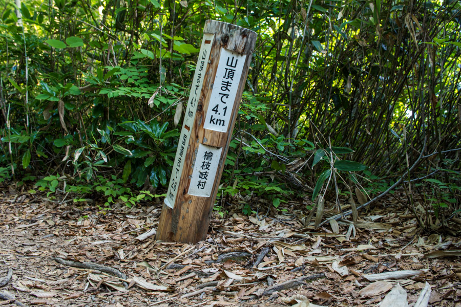
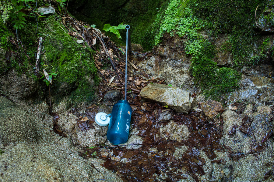
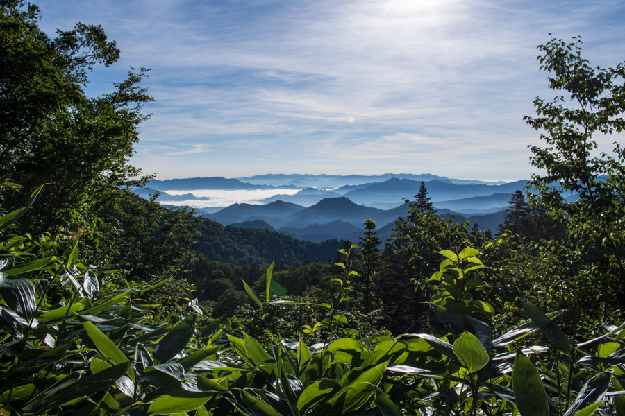
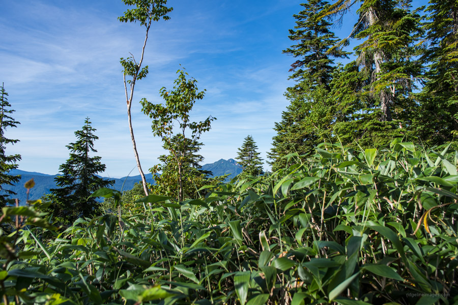
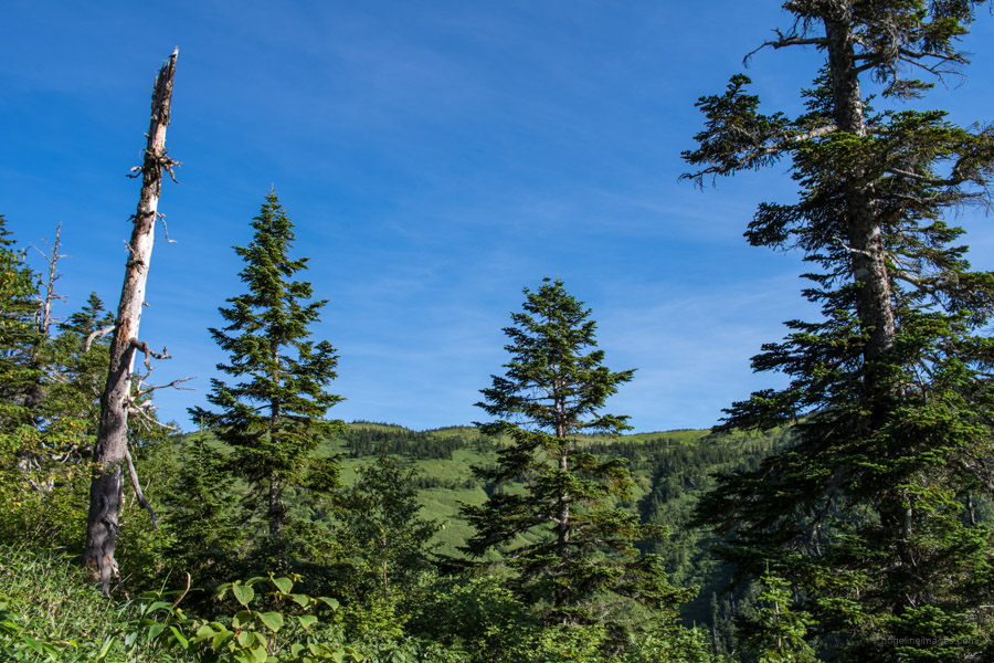
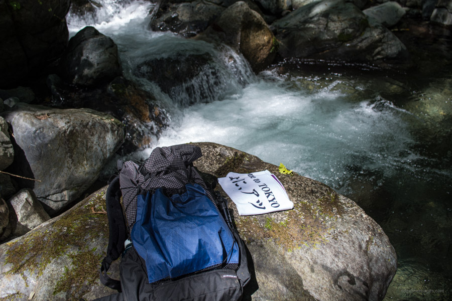
From the get-go the trail is quite steep as it climbs through old-growth beech (buna) forest. The hike is well marked with pink ribbons and signposts indicating both the distance to the summit and back to the National highway. In a little under 90 minutes you should reach the first and only waterhole a short 2-minute detour down to the left. Refreshing crisp and cold, well worth the effort to collect. Edging away from the forest canopy you can catch sight of the grassland meadows below the summit along with the twin peaks of Hiuchigatake.
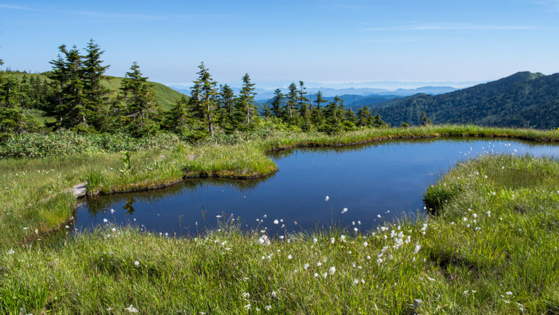
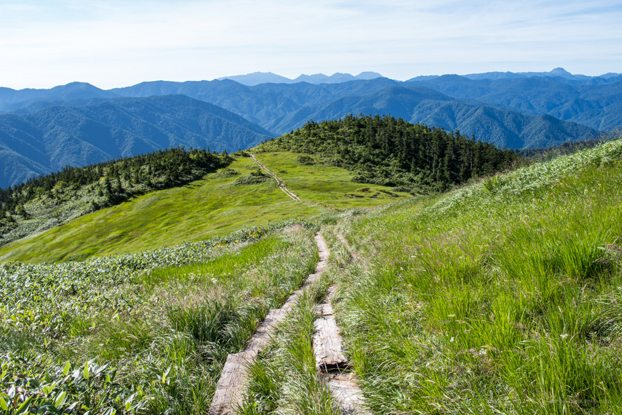
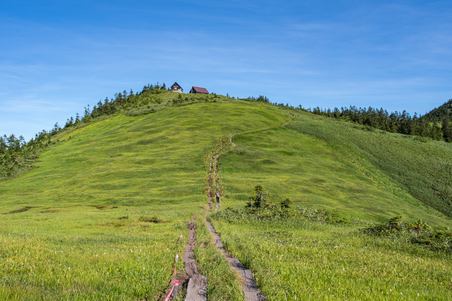
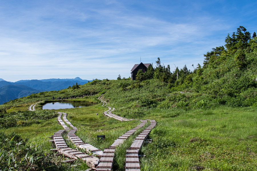
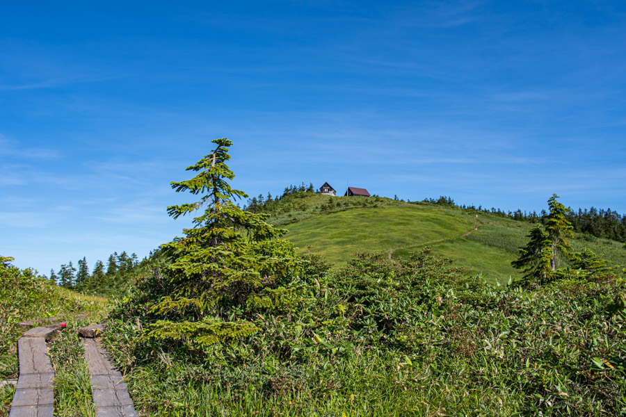
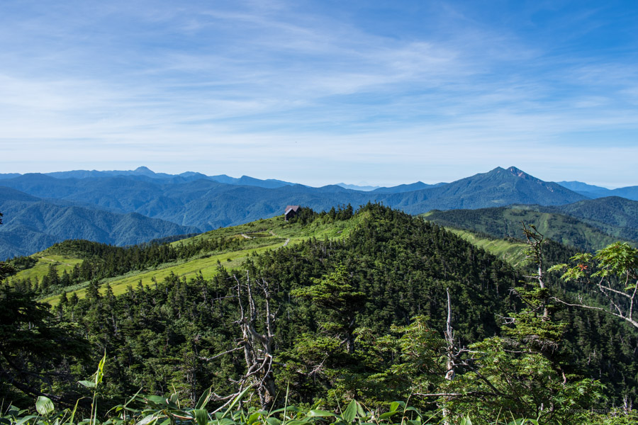
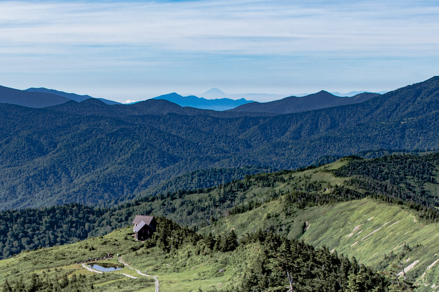
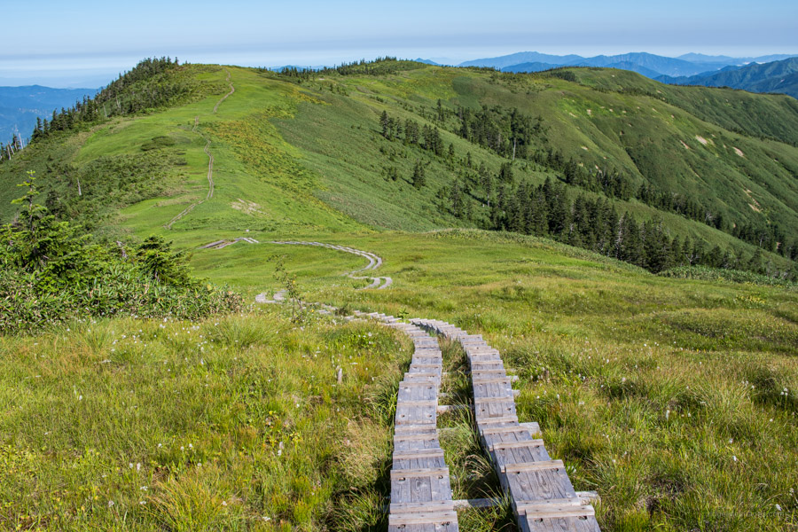
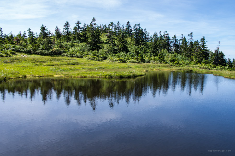
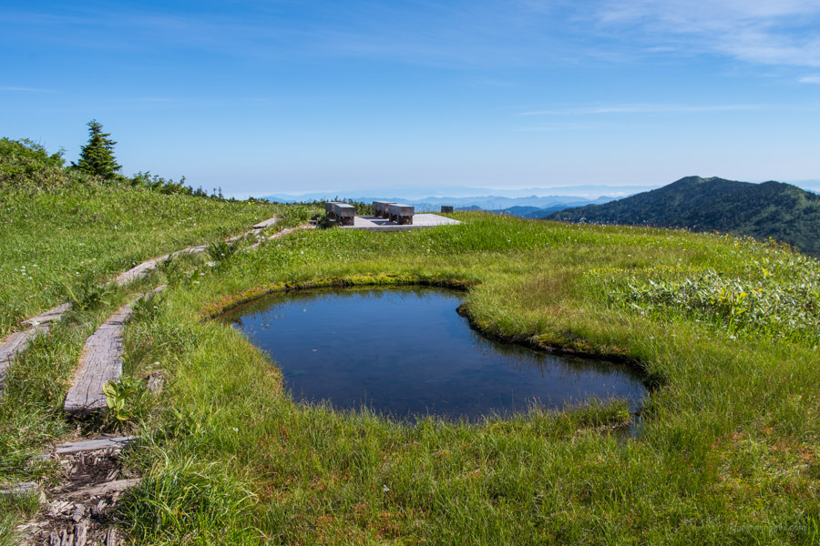
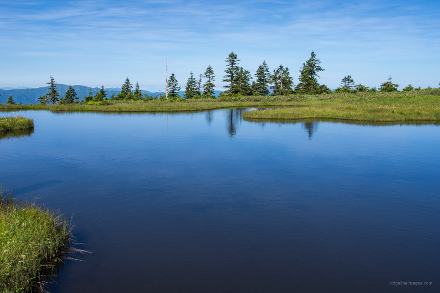
Once the makeshift wooden stairs appear the outlook improves dramatically. For starters, the early morning mist infused mountain landscape is a sight to behold. On your right you should be able to pick out the Aizu-Koma mountaintop along with the quaint Komanogoya 駒ノ小屋. Looking to the rear, the mountains of Nikko are also prominent. With the hard part out of the way enjoy wandering along the timber walkways. The environment is remarkably like Ozegahara Marsh except there are far fewer visitors. One nights lodging at the Komanogoya is very reasonable at 3,000 yen. It’s sudomari only (stay without meals) so bring food, plenty of water and a sleeping bag. Komano Oike 駒ノ大池 stretches out in front of the hut with Aizu-Komagatake lurking in the backdrop.
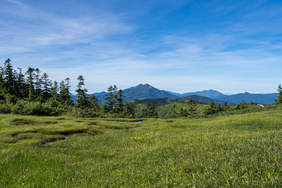
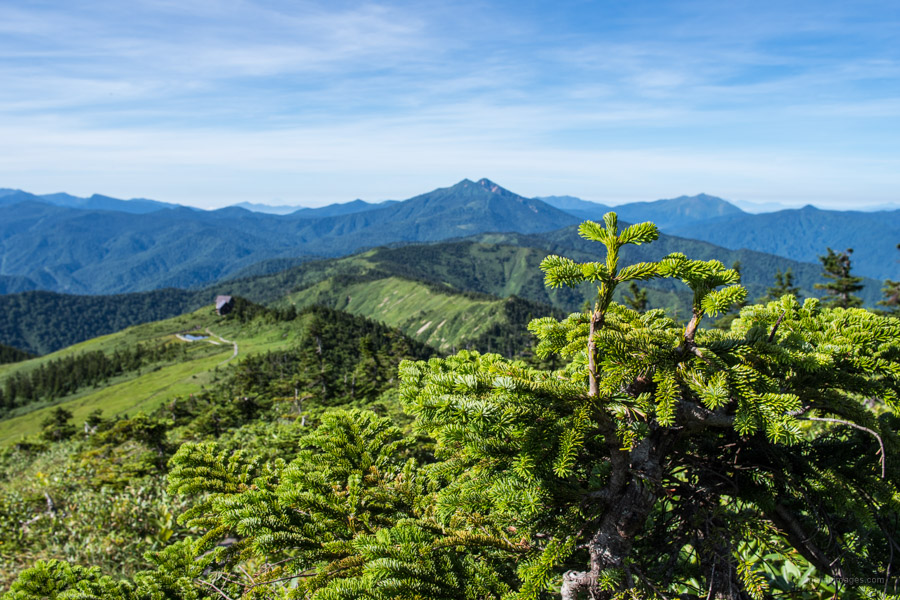
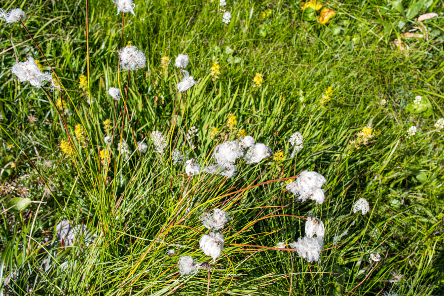
Tip number two avoid hiking in the wet as the slick wooden path will exact revenge. Summer is an excellent time for alpine flower viewing. I was most taken with the hare’s-tail cottongrass (Eriophorum vaginatum) with the cottonlike florets contrasting the green meadows. To reach the summit of Mt. Aizu-Komagatake 会津駒ヶ岳 (2,133 m) it took 3 hours even stopping to take plenty of photos. On super clear days it’s even possible to make out Fujisan 200 km away! To the left of the hut is Mt. Nikko-Shirane and the trapezoid shaped Mt. Nantai.
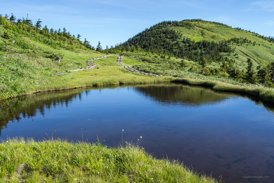
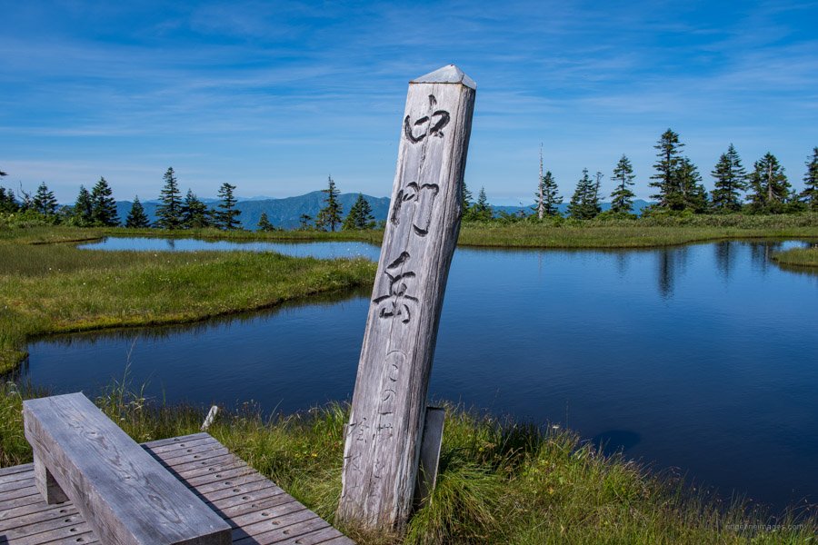
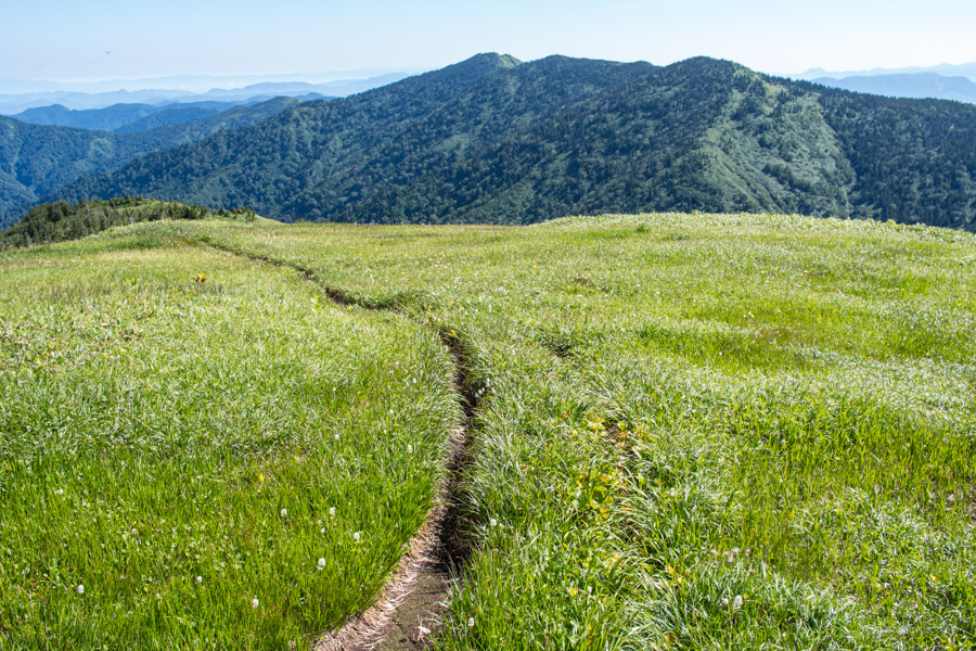
I wholly recommend continuing along the upper ridgeline to Chumon-dake 中門岳 2.2 km away. There are almost no ups and downs with stunning scenery and innumerable ponds to savior. Chumon-Oike 中門大池 is a beautiful mirror-like pond that reflects the summer clouds and surrounding trees. When you’re ready to head off retrace your steps back to the carpark. Final tip, take a refreshing dip in the river before heading back to the campground, a good spot is along the final stretch of road before hitting the main highway.


Love the write ups and pictures, David. Very natsukashii and urayamashii as I await down in NZ for the world to reopen.
Thanks Stefan! I’m glad you enjoyed it.