.
Reclining Buddha statue 寝釈迦像 – Sai-no-kawara 賽の河原 – Mt. Komaruyama 小丸山
Distance: 26.4 km
Elevation change: 1408 metres
Highest point: 1878 metres
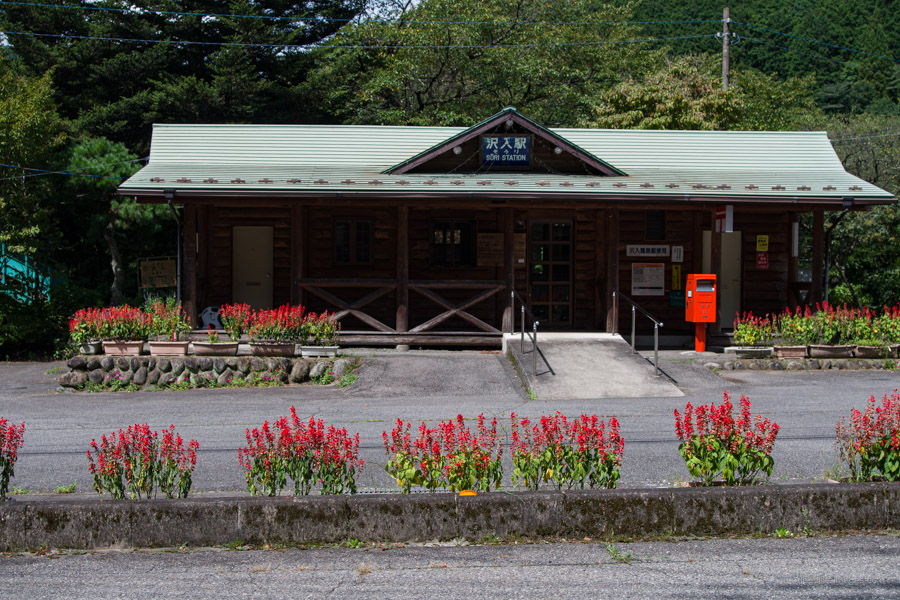
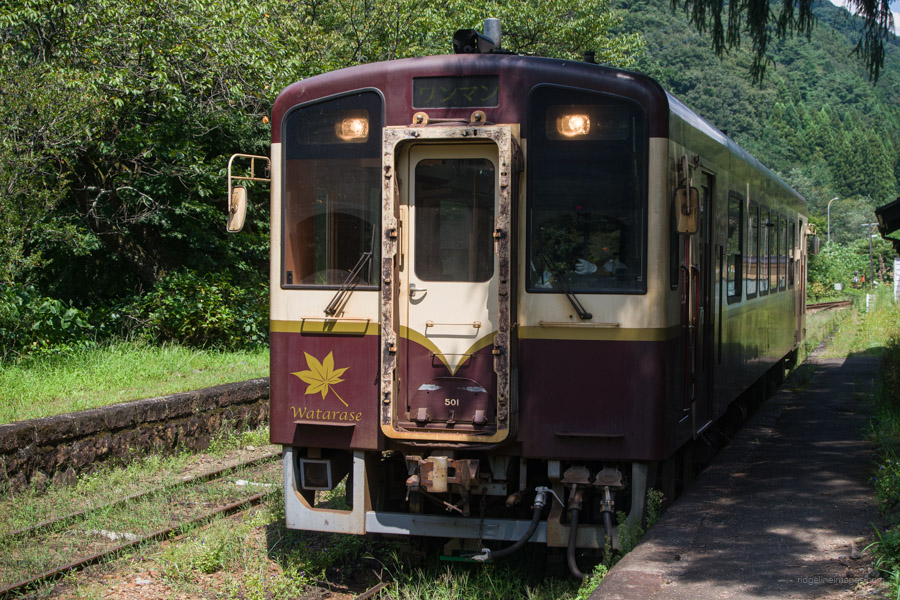
Start: Sori Station (Watarase Keikoku Line)
Finish: Sori Station (Watarase Keikoku Line)
Difficulty: ▅▅▅▅▅▅▅▅▅▅ ❹
Map: Yama to Kogen Chizu 山と高原地図 [No.20 赤城・皇海・筑波 AKAGI·SUKAI·TSUKUBA]
GPX TrackKML TrackGSI MAPPDF Topo Map
Lesser Visited Sawa Course Pays Dividends
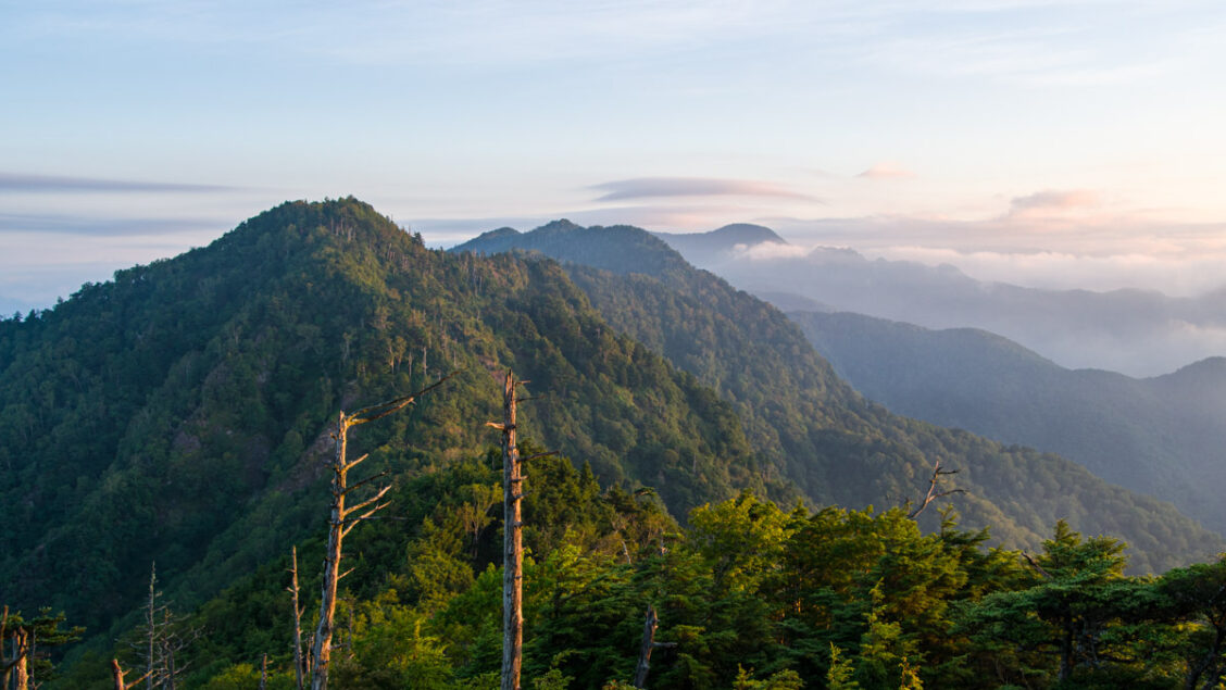
Mt. Kesamaru, or the Kesamaru-renpo 袈裟丸連峰, is a collective term for several peaks straddling the Tochigi and Gunma prefectural border south of Mt. Sukai. The mountains include Naka-Kesamaru, Oku-Kesamaru, Ato-Kesamaru, which reaches an elevation of 1,961 meters, and Mt. Mae-Kesamaru, the goal for this hike. It is one of Japan’s 300 Famous Mountains and is renowned for a distinctive stone Buddha statue. It’s worth mentioning that the trail connecting Mt. Mae-Kesamaru and Mt. Kesamaru, known as Hachitanbari 八反張, has experienced significant erosion and is currently closed off. Consequently, Mt. Mae-Kesamaru is somewhat isolated due to the closure of this trail section. The prime time to visit is in May, when the Shakunage (Rhododendrons) are in full bloom. However, late summer and autumn, particularly for hiking along the Sawa course, offer another excellent opportunity.
Day 1: Visiting One of Gunma’s Cultural Gems (10.1 km)
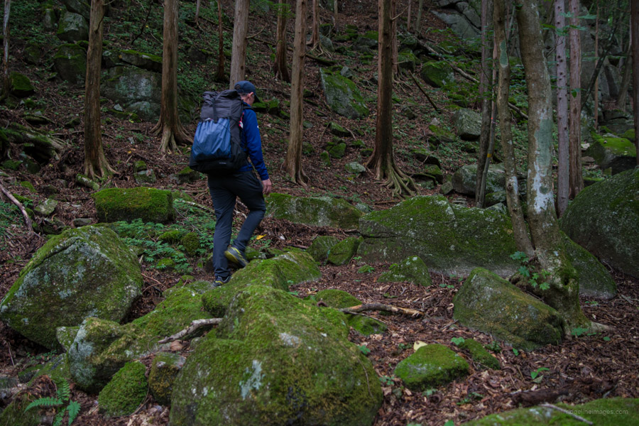
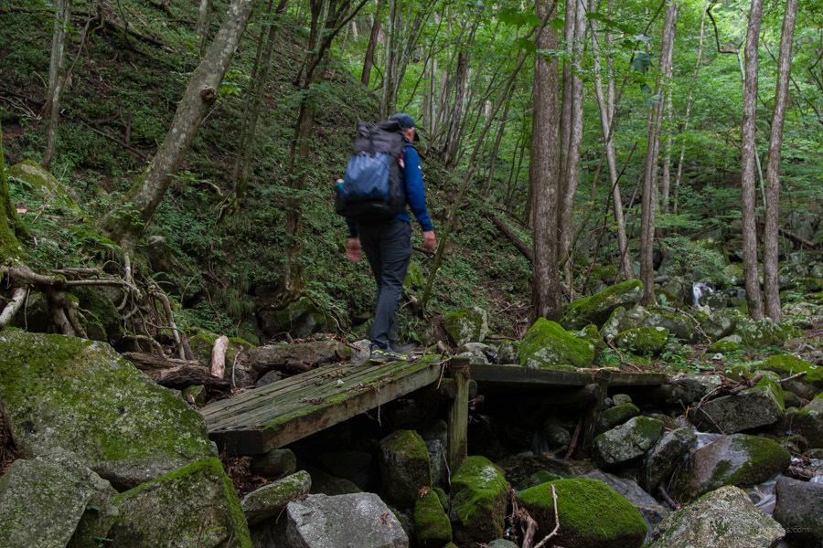
The shortest route is an out-and-back hike starting from the Oriba trailhead 折場登山口. However, a car is necessary unless you are willing to add an additional 20.8 km of road hiking to and from the nearest train station. If you are travelling from Tokyo via public transport, take the Tobu Limited Express Revaty from Kuki Station to Aioi. At Aioi, transfer to the Watarase-Keikoku Railway for Mato and disembark at Sori 沢入駅. This journey takes approximately 61 minutes and costs 880 yen. Tickets can be purchased on the train. My experience on the Watarase-Keikoku Railway was delightful; it’s a charming local line with a nostalgic ambience. Due to the late arrival at Sori Station (10:06 am), it’s advisable to split this hike over two days, with an overnight camp near the Komaruyama refuge hut. While there are a couple of refuge huts along the route, none of them are staffed.
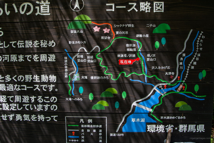
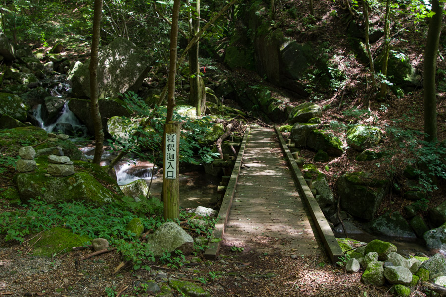
After departing from Sori Station, head left, cross the bridge over the Watarase River on the north side of the station, and proceed south along National Route 122. There, you’ll find a signpost for the Tounosawa trailhead 塔ノ沢登山口. Continue along this minor road, veering right when it branches off towards the Tounosawa trailhead. The journey from the station should take about 1 hour and 10 minutes.
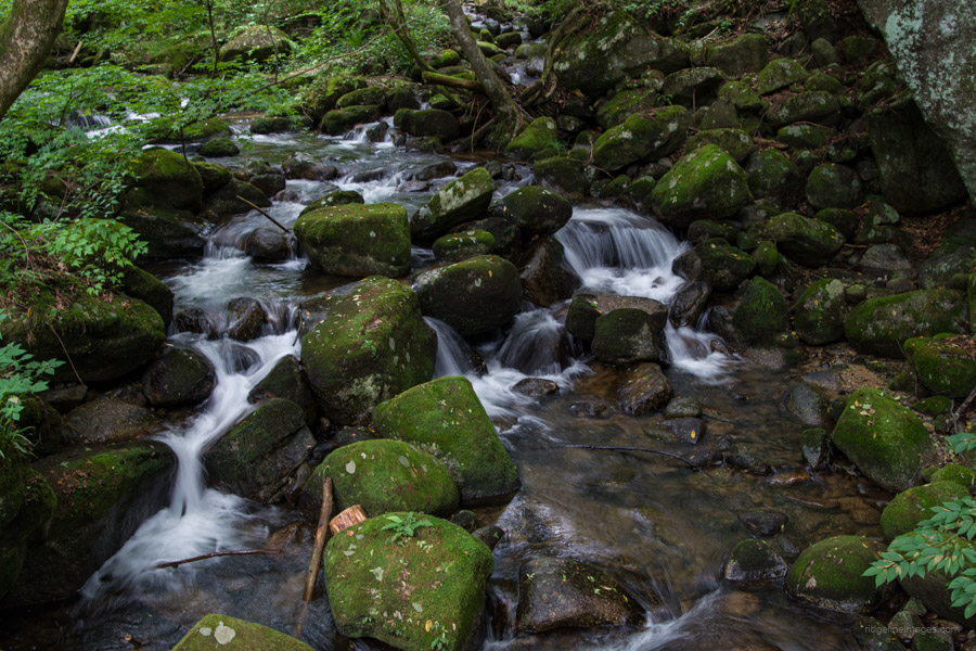
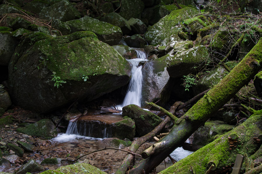
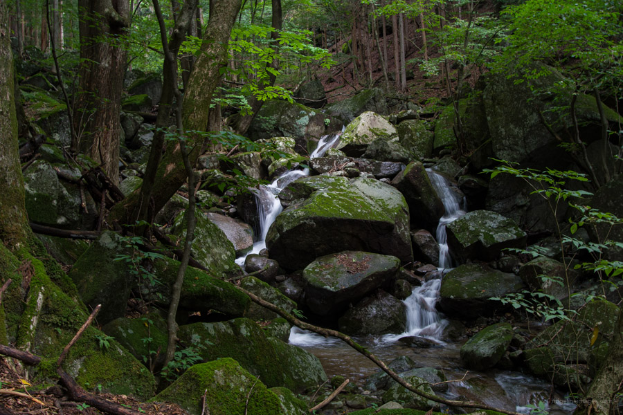
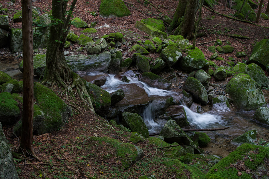
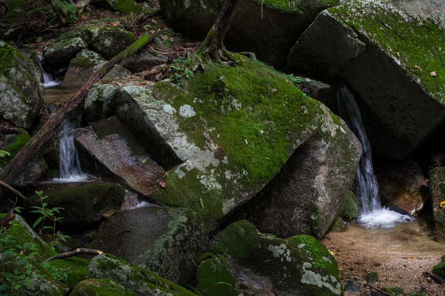
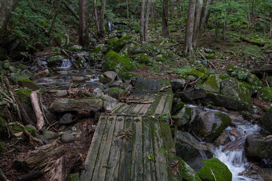
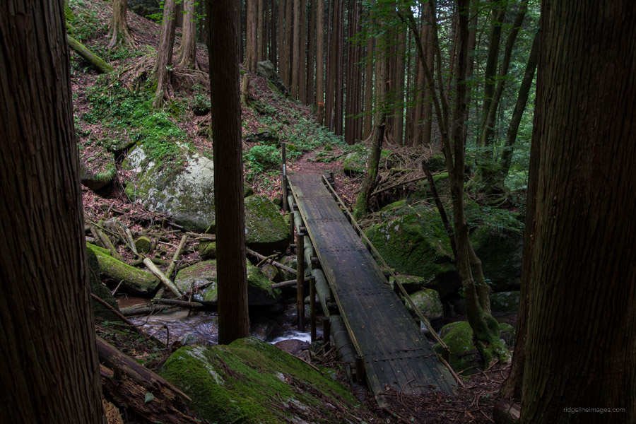
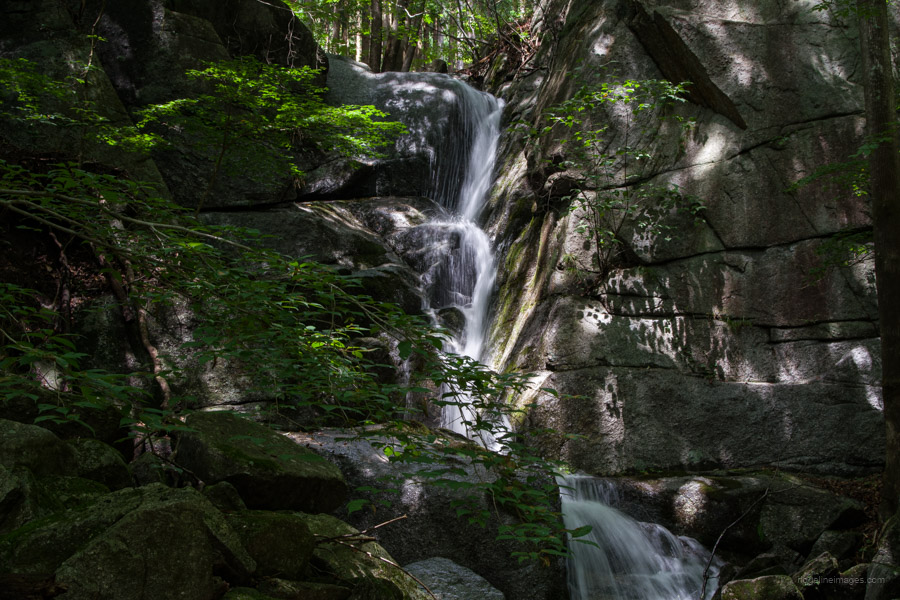
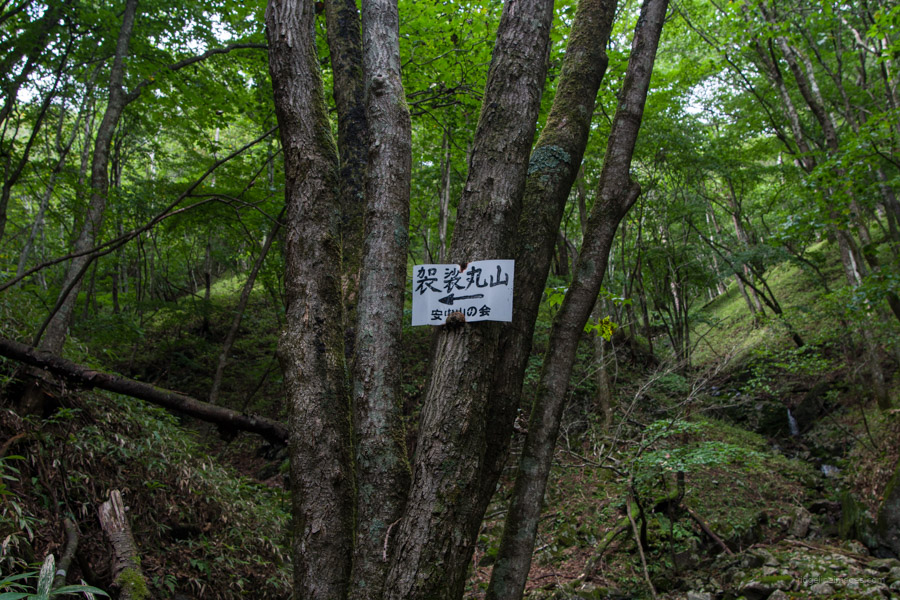
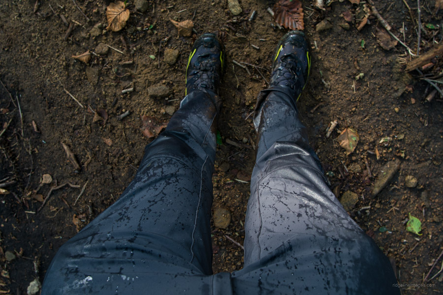
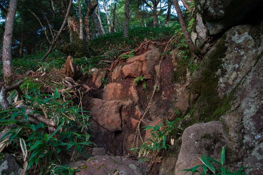
From the Tonozawa trailhead to the Tounosawa Stone Buddha, the path follows a picturesque stream. Although there aren’t any particularly steep sections, you will need to cross the stream at several points. Pink tape markers are placed along the trail at intervals, reducing the risk of getting lost on the way to the stone Buddha. In terms of drinking water, it’s best to refill your supply in the upper reaches of the stream to be on the safe side.
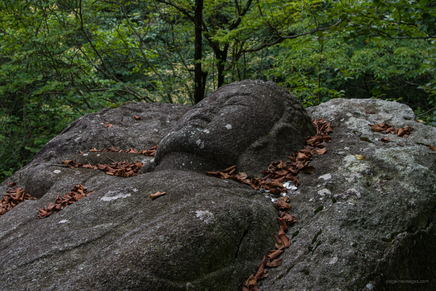
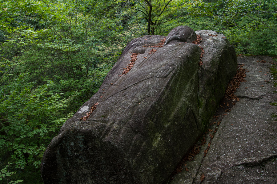
The reclining Buddha figure is carved from a large rock. Its formal name is the Tonouzawa Ishi Shakane Hanzo 塔ノ沢の石造釈迦涅槃像, but it’s locally known as the “sleeping Buddha”. It measures 368 centimetres in length and 130 centimetres in width. While not much is known about its origin or the exact date of creation, it is mentioned in a travelogue in 1789. One theory suggests that it was created in memory of those who lost their lives while working at the nearby Ashio copper mine. There is a bench nearby where you can take a break.
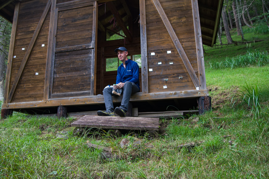
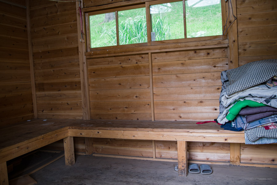
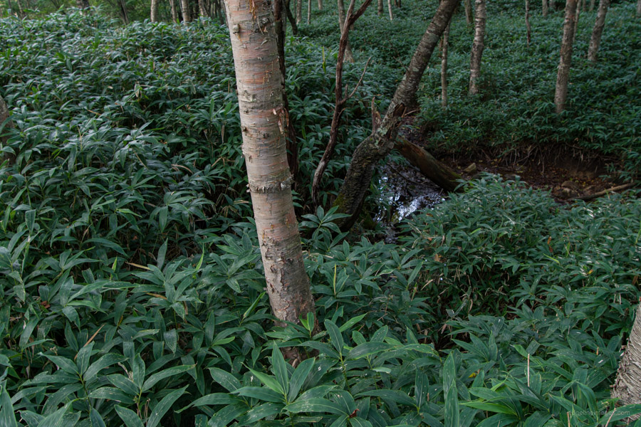
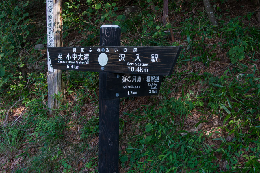
The next destination is Sai-no-kawara 賽の河原. The trail from the stone Buddha to Sai-no-kawara can be unclear in certain spots. I found myself momentarily off the path a few times and had to carefully search for the next pink ribbon while frequently checking my GPS. Along the way, you’ll also encounter rocky terrain that requires some climbing. Once you reach the Sasa bamboo path, the terrain becomes easier to traverse. Just before reaching the first refuge hut, you’ll come across a final stream crossing, so make sure to refill your water here. The refuge hut is constructed from cedar, can accommodate approximately six people, and is significantly more comfortable than the one at the campsite. From here, Sai-no-kawara is just 200 meters away.
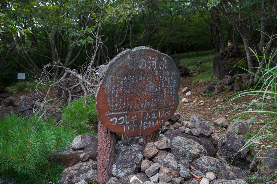
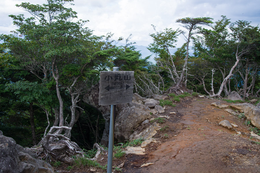
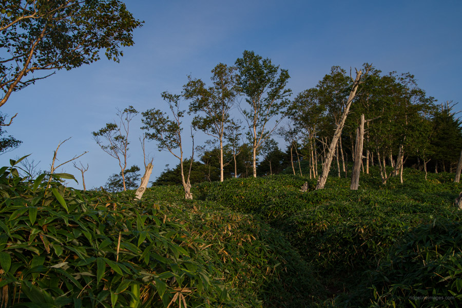
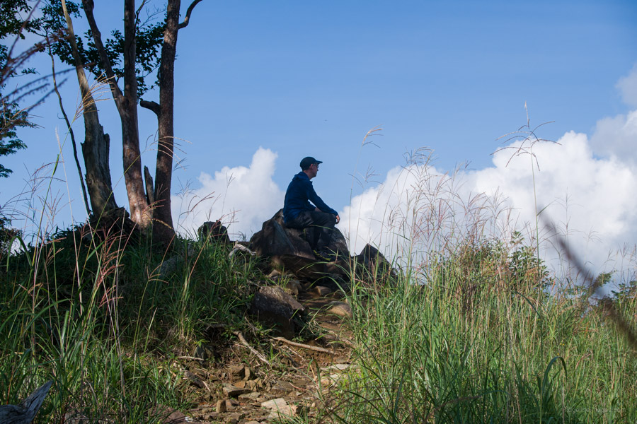
Sai-no-kawara offers no panoramic views, but the area is characterized by several stone piles that give it a unique atmosphere. It’s also where the Tounosawa course 塔ノ沢コース intersects with the Yumi-no-te course 弓の手コース, which ascends from the Oriba trailhead. Continue toward Mt. Komaruyama 小丸山 (1,676 m). Fortunately, there are several flat sections that provide respite for your legs. Along the way, you’ll pass a rain gauge station and more open areas adorned with stone pilings. From Mt. Komaruyama, you should be able to spot Mt. Oku-Shirane along with Mt. Sukai.
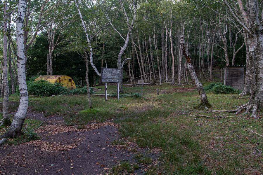
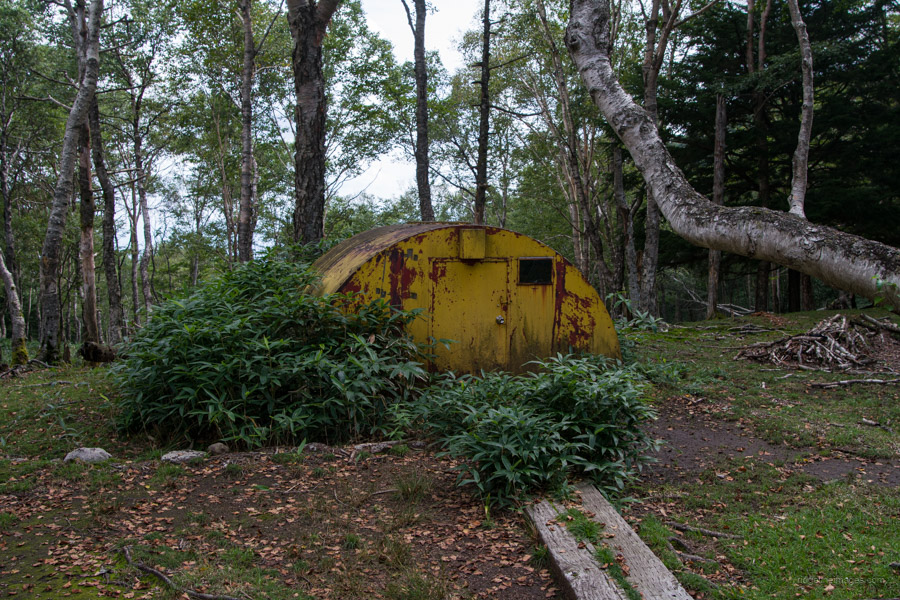
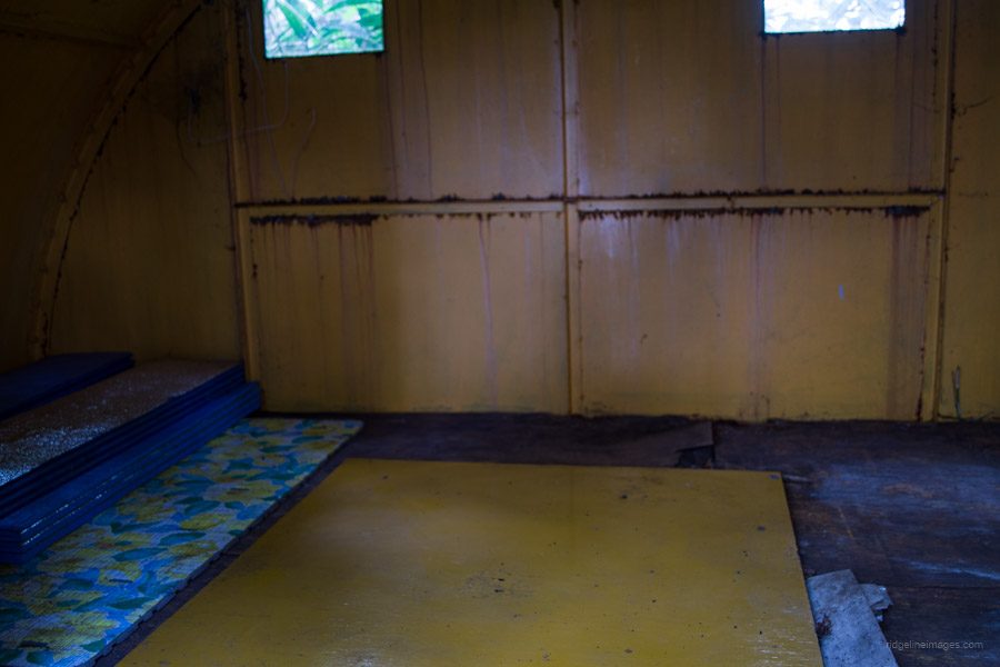
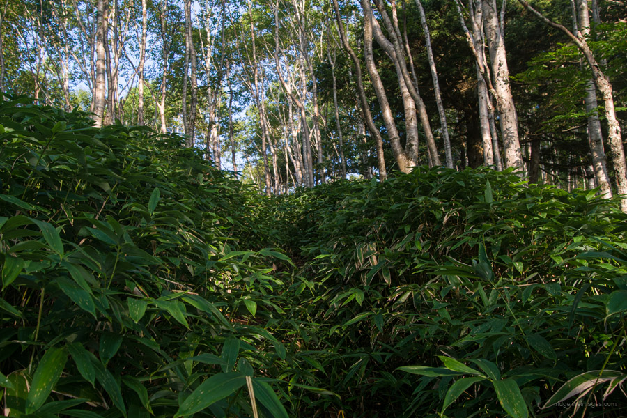
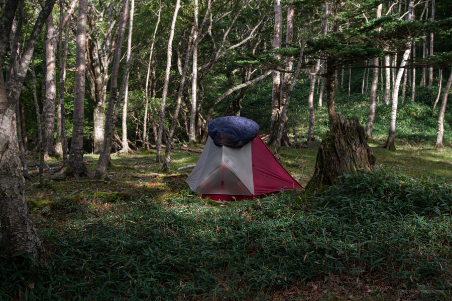
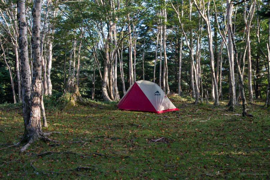
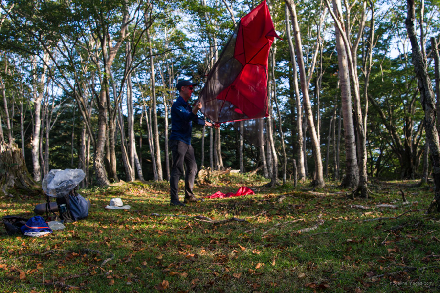
The final destination for the day is the unofficial campsite nestled on the saddle between Mt. Komaruyama and Mt. Kesamaru. This saddle, surrounded by magnificent dakekanba (Erman’s birch) trees, is home to the Komaruyama Refuge Hut 小丸避難小屋. It’s worth noting that the steel-fabricated hut is in rough condition and should only be considered in dire circumstances, if at all. There is also a toilet and a water source nearby. Speaking of the water source, I had limited information about it before leaving home, except that it was located a short distance south of the hut. However, it’s quite challenging to access, as the path is poorly marked and overgrown with head-high bamboo bushes. During my visit, I was the only camper there, which wasn’t surprising given that I didn’t encounter any other hikers during the entire two-day hike.
Day 2: Early Morning Serenity at the Summit (16.3 km)
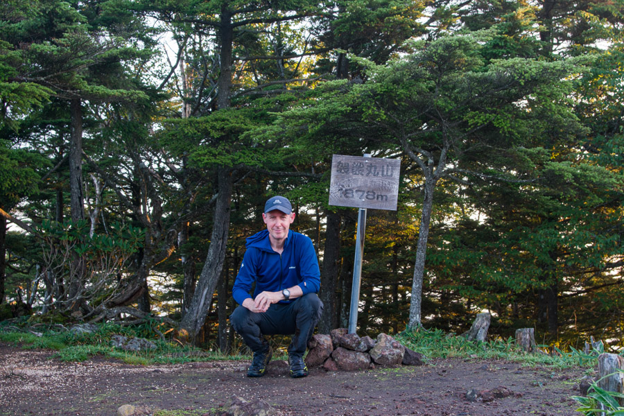
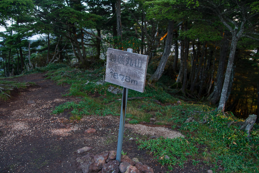
Originally, I had planned to ascend Mt. Mae-Kesamaru 前袈裟丸山 (1,878 m) the previous afternoon. However, due to the heat, my progress was slower than expected, and I anticipated a better view from the summit in the early morning. The initial section of the trail from the refuge hut entails navigating through head-high sasa bamboo, so tread carefully. At times, it can be somewhat challenging to follow. The final stretch to the summit is particularly steep. Despite the surrounding trees and shrubs, you can still enjoy a fine view of Mt. Kesamaru from the north side of the summit. When you’re ready to depart, return to the campsite and pack up the rest of your gear.
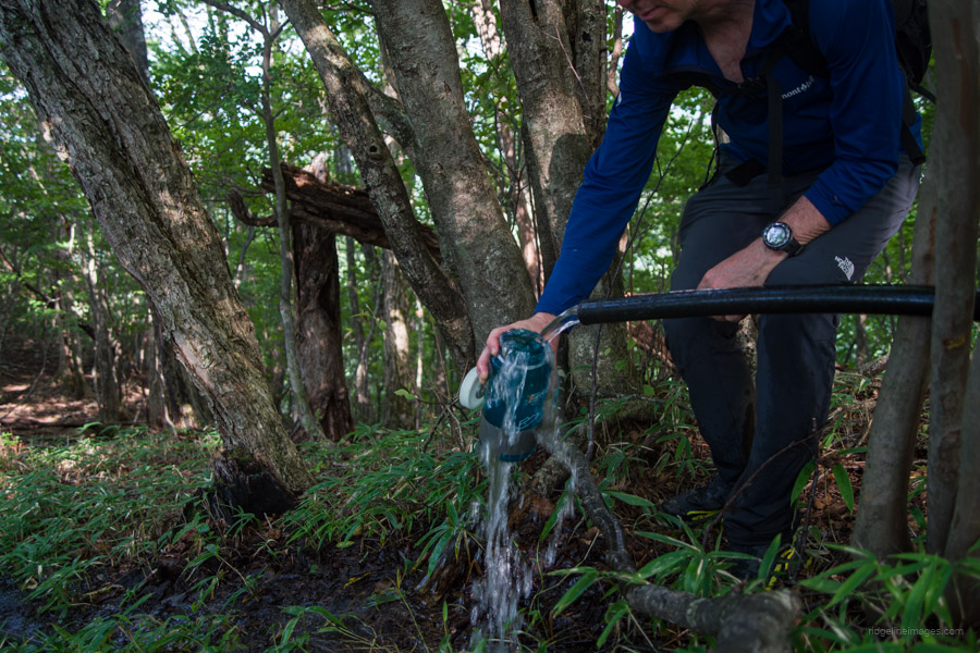
From the refuge hut, it’s essentially a matter of retracing your steps back to Sai-no-kawara. Allocate at least 4 hours to return to Sori Station. Just beyond Sai-no-kawara, you’ll come across a lookout tower, although the trees have grown since, obscuring the view. The Yumi-no-te course here follows the Kano Furei no Michi. Approximately 10 minutes before reaching the Oriba trailhead 折場登山口, keep an eye out for a water source by the side of the trail gushing from a black PVC pipe. From the trailhead, follow the road back to Sori Station, covering a distance of 10.4 km, which should take approximately 2 hours and 20 minutes. The road walk is shaded and mostly downhill.


Nice!
This area’s on my mind. I’m hoping to go to that general tomorrow.
I suggest parking at the Tounosawa trailhead and doing an out-and-back piston, or if you’re up for it, finishing at the Oriba Trailhead and walking back down the road to pick up the bike, which takes around 90 minutes.
Thanks for the suggestion. I won’t be that close, though. I’m shooting for Shirane.
I am currently in Tokyo and looking for places or trails to hike. Now, Mt. Kesamaru is on my list.
The end of that valley at Ashio has some amazing scenery and wilderness. The Matsuki valley is an easy walk through towering gorge. Wild camp and good swim pools. Alternative route to Mount Sukai as well. Also another nice place at Koushin sanso 庚申山荘 (free/donation) with a rock garden loop and trail to the ridge.