.
Kurumayama-kata 車山肩 – Mt. Kurumayama 車山 – Yashimagahara 八島ヶ原湿原
Distance: 16.5 km
Elevation change: 325 metres
Highest point: 1925 metres
Start: Kowashimizu bus stop
Finish: Kowashimizu bus stop
Difficulty: ▅▅▅▅▅▅▅▅▅▅ ❸
Map: Yama to Kogen Chizu 山と高原地図 [No.35 八ヶ岳 YATSUGA-TAKE]
GPX TrackKML TrackGSI MAPPDF Topo Map
Kirigamine Highlands Loop via Mt. Kurumayama and Yashimagahara
Kirigamine is something of an anomaly on Fukada Kyuya’s list of Japan’s 100 Famous Mountains and that’s no bad thing. Straddling the cities of Chino and Suwa in Nagano Prefecture, it’s a landscape of gently rolling highlands, where even the highest point, Mt. Kurumayama, looks more like a hill than a mountain from a distance. The Venus Line road runs almost to the summit, and a chairlift will carry you the rest of the way, should you feel so inclined. That arguably makes Kirigamine the easiest of the 100 Famous Mountains to climb, but a better way to appreciate it is with a full lap around its wetlands. That’s the approach I took on this hike, starting lower down at the commodious Kirigamine Campground. Good times to visit include late June, when the azaleas are in bloom, and mid-July, when Nikko day lilies brighten the landscape.
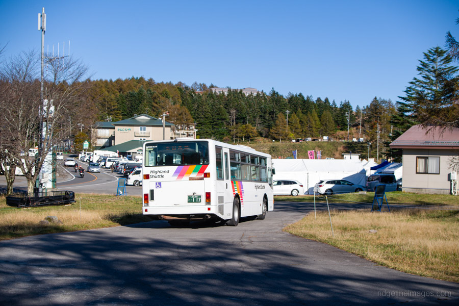
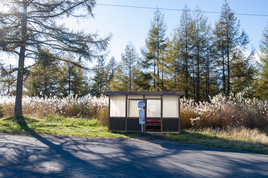
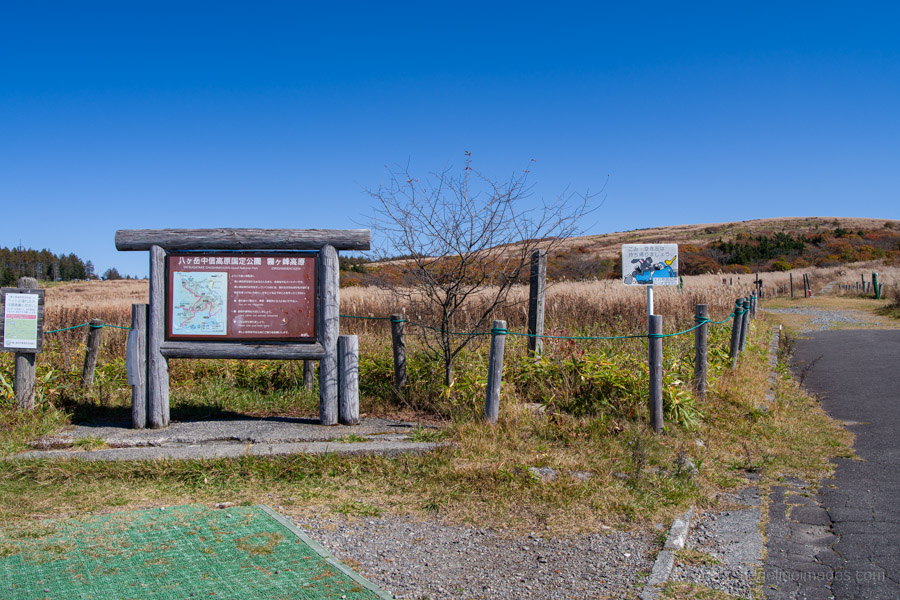
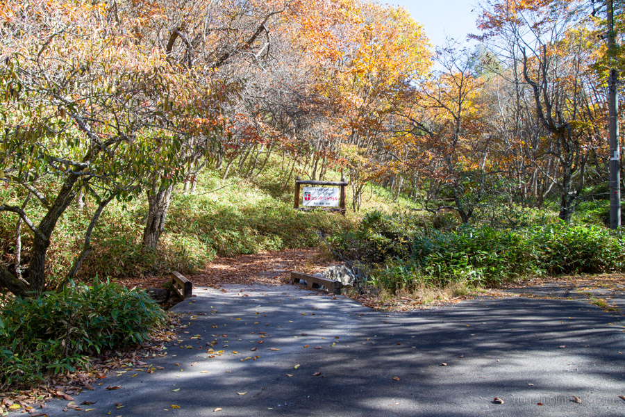
To reach the trailhead, take the Limited Express Azusa or a local train to Kami-Suwa Station 上諏訪駅. Chino Station 茅野駅 is another option for exploring the Kirigamine area, but buses from there don’t pass by Kirigamine Campground. From Kami-Suwa, buses depart at 9:35 am, 10:35 am and 2:30 pm on weekends and public holidays from early May to late October, with daily services in August. I caught the 2:30 pm bus (34 minutes, 1,700 yen, cash only) and got off at the Kowashimizu 強清水 bus stop, a five-minute walk from the campground.
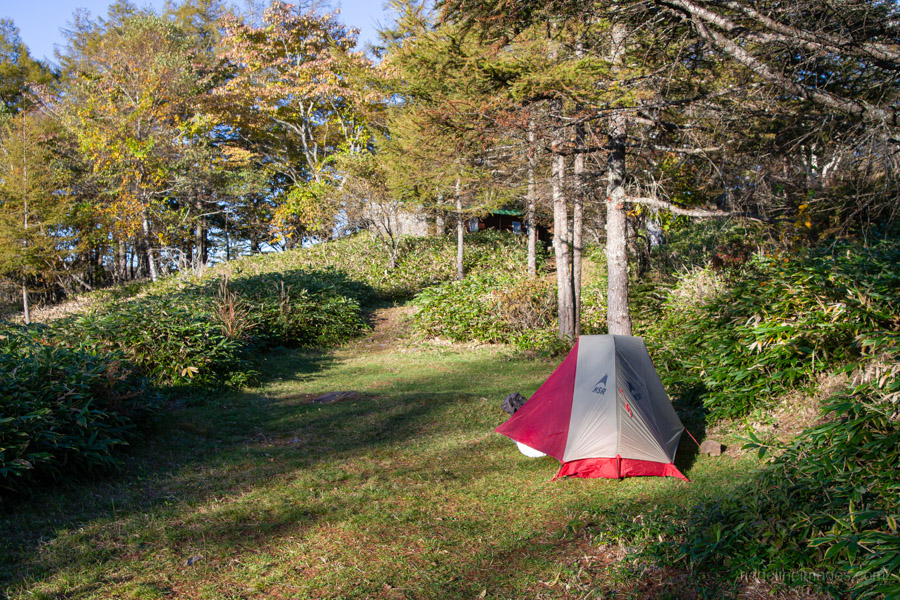
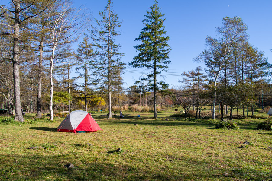
The secret sauce of this hike is undoubtedly Kirigamine Campground. Whether or not you’re arriving by car, I’d recommend camping here the night before, for a few reasons. First, it’s a beautiful site with plenty of flat, grassy spots, though don’t expect much in the way of views. Second, staying overnight lets you get an early start and beat the merciless summer heat. Finally, it’s a bargain at just 1,000 yen a night. Enough said.
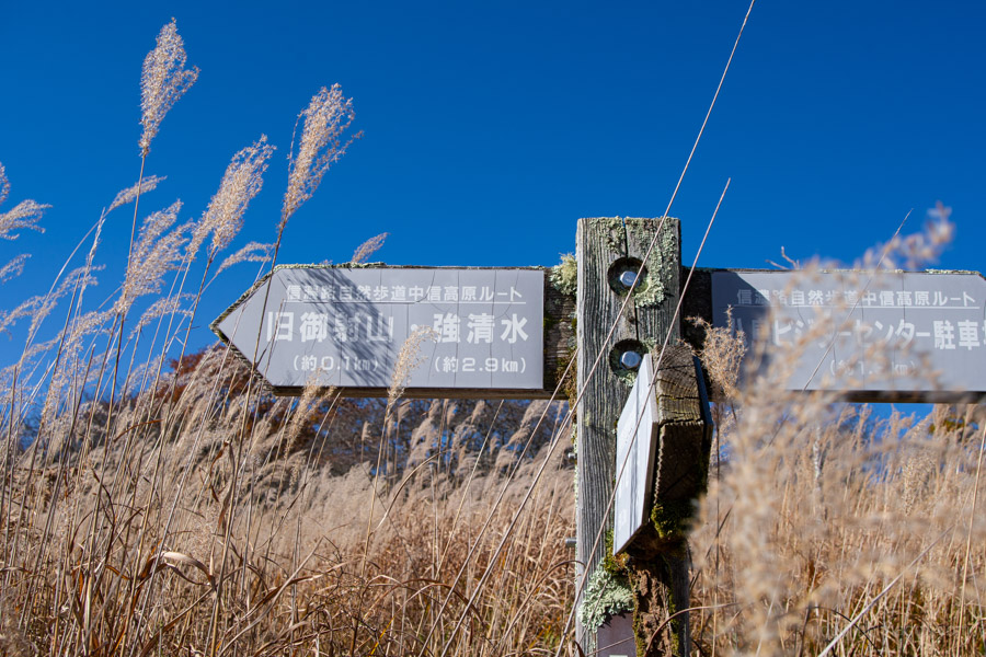
In mid-October, it was still pitch black when I prepared to leave at 5:15 am. From the campground, head back up the road towards the Kowashimizu bus stop, where you alighted the previous day, then continue along the road to the Kirigamine Interchange bus stop 霧ヶ峰インターチェンジ – about a 15-minute walk. The trail itself starts on the opposite side of the road.
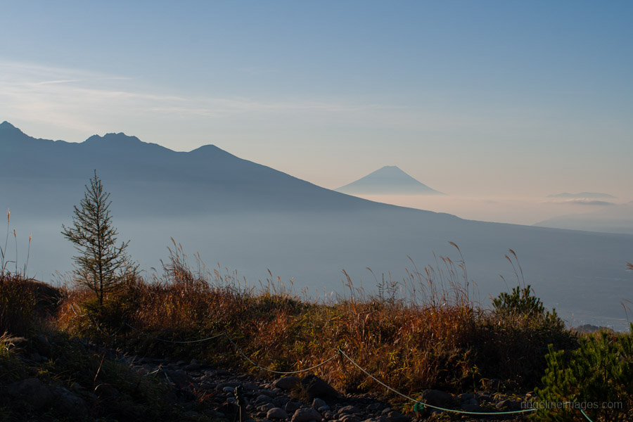
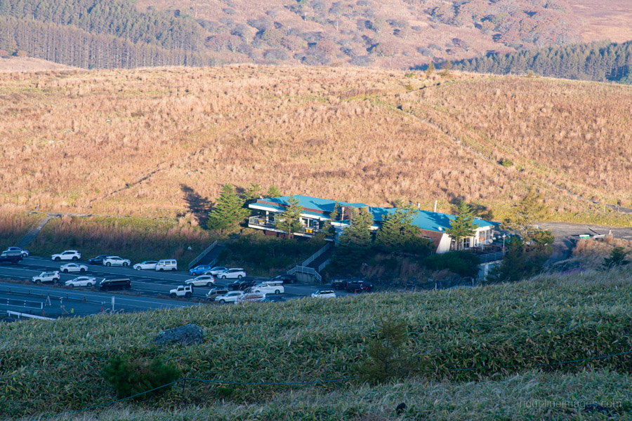
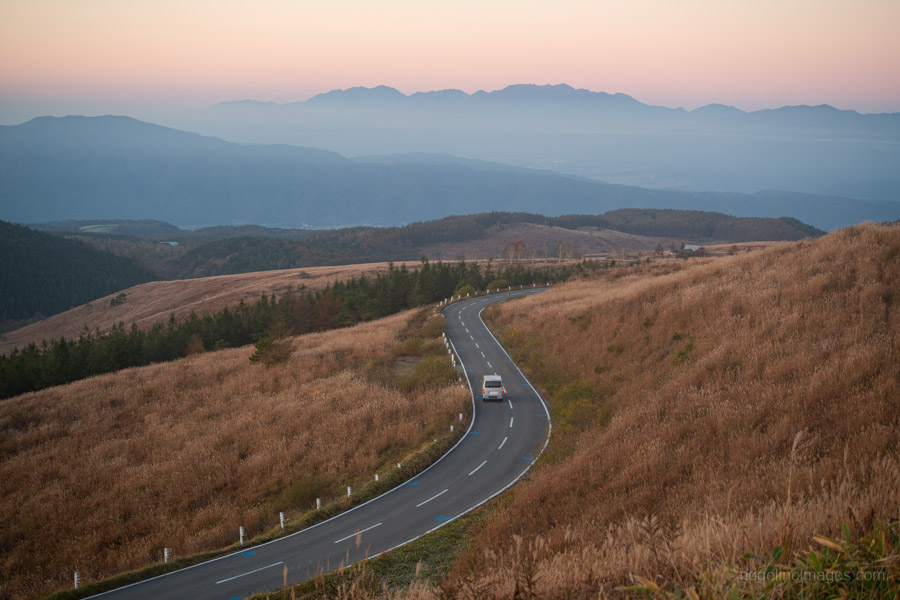
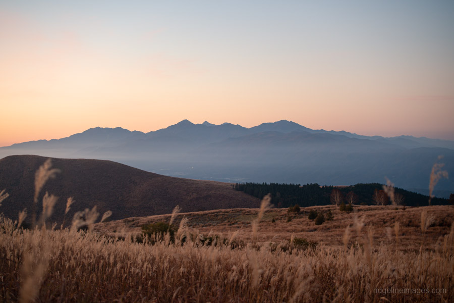
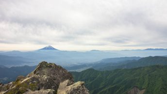
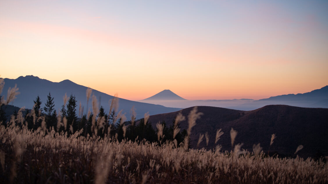
At the first trail fork, head right onto a path that runs above and roughly parallel to the Venus Line. The trail is wide and easy to follow. One reason to start from Kowashimizu rather than take the bus all the way to Kurumayama-kata 車山肩 is that this first section offers incredible views of Mt. Fuji and the Yatsugatake range, especially in the early morning. Kurumayama-kata has a restaurant and toilets. I didn’t meet another soul until well into the climb to Mt. Kurumayama. Given the fairly chilly conditions, I was surprised to see more than a few people dressed rather casually for a mountain hike.
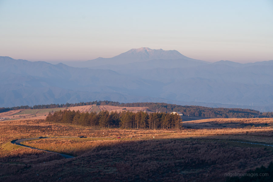
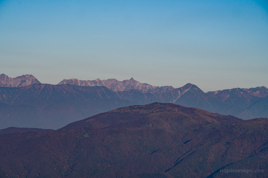
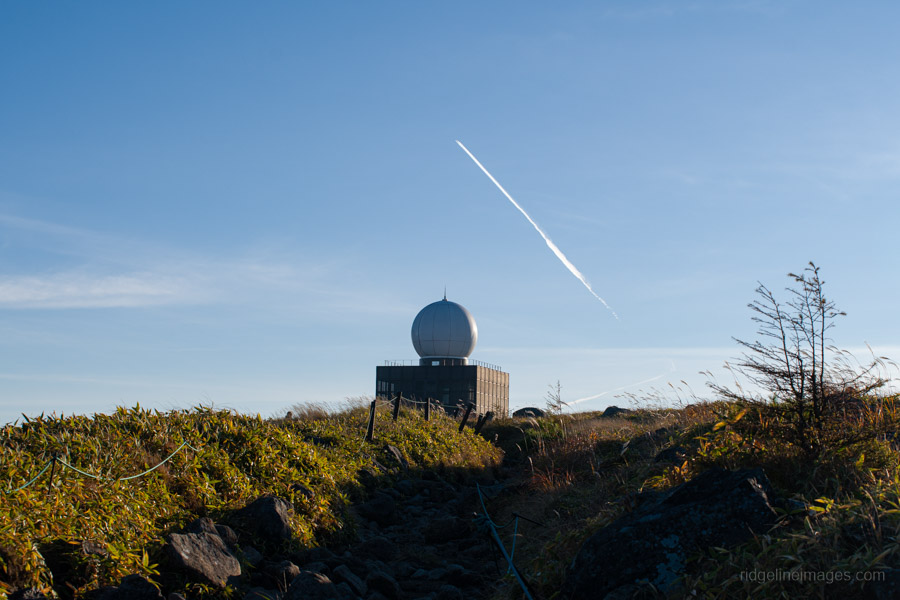
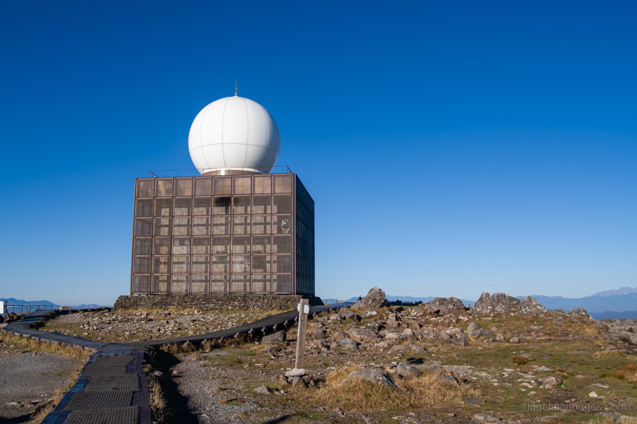
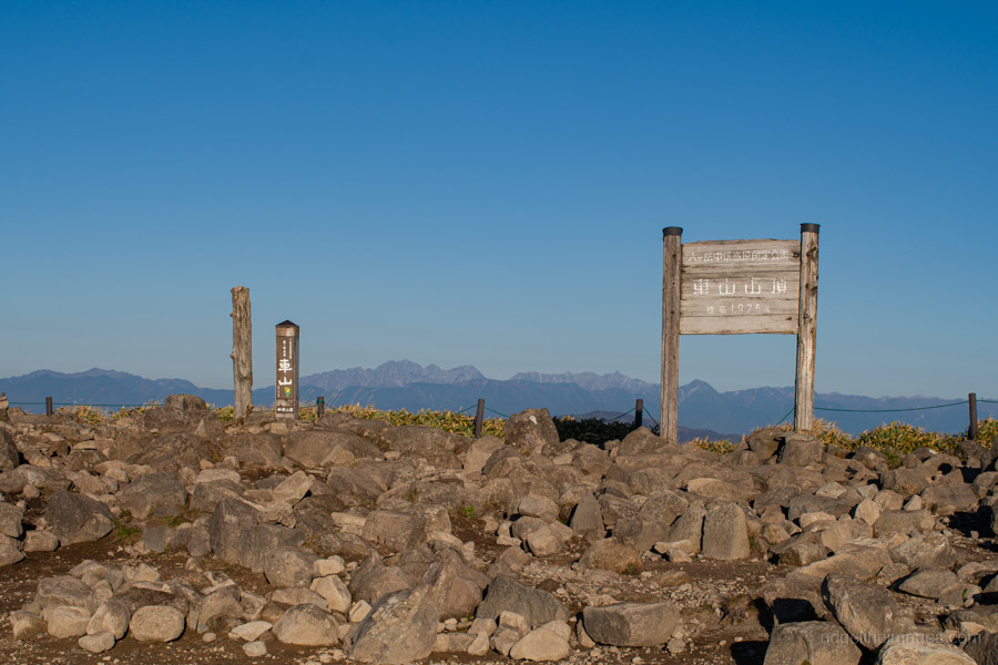
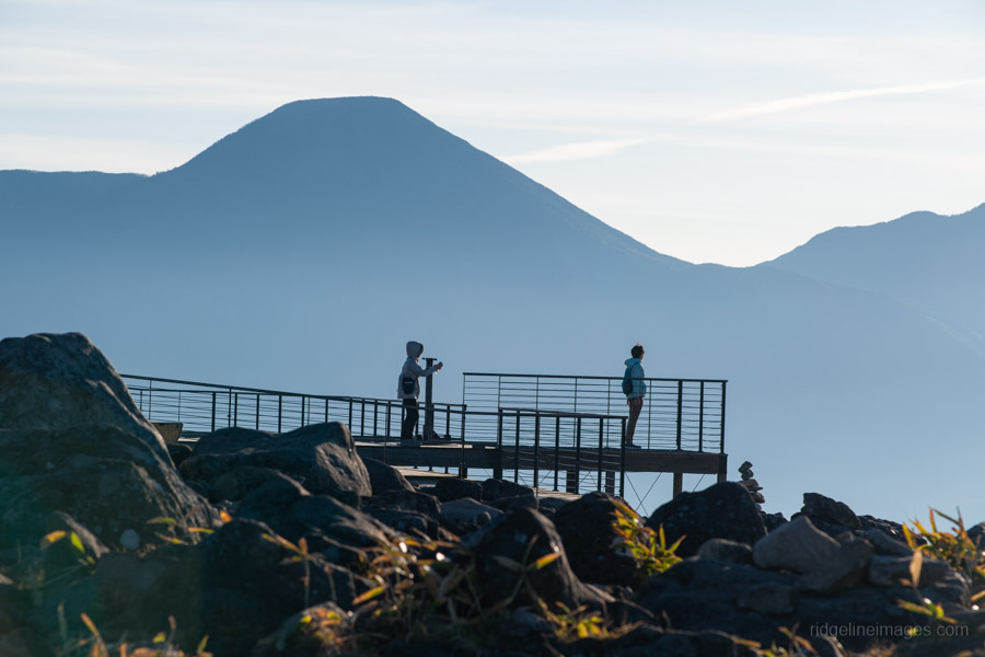
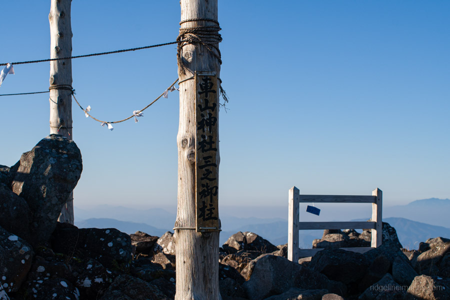
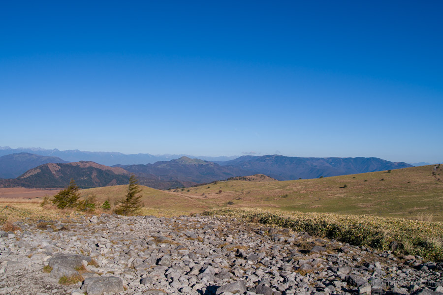
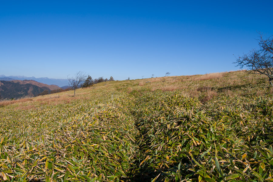
Mt. Kurumayama 車山 (1,925 m), otherwise known as Mt. Kirigamine, is a wide-open space with scattered rocks. A rather massive weather radar station occupies the centre of the summit. From here, you can enjoy a panoramic view across the gently rolling Kirigamine plateau to Lake Shirakaba below Mt. Tateshina, and on this occasion, thanks to the crisp autumn air, all the way to Yarigatake in the Northern Alps. Incidentally, you can also reach the summit by chairlift from Kurumayama Kogen Ski Resort.
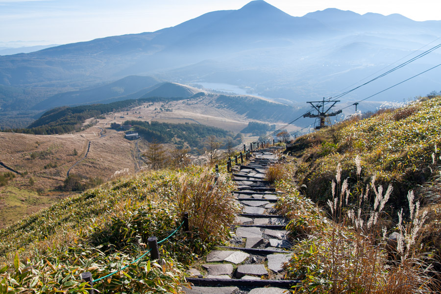
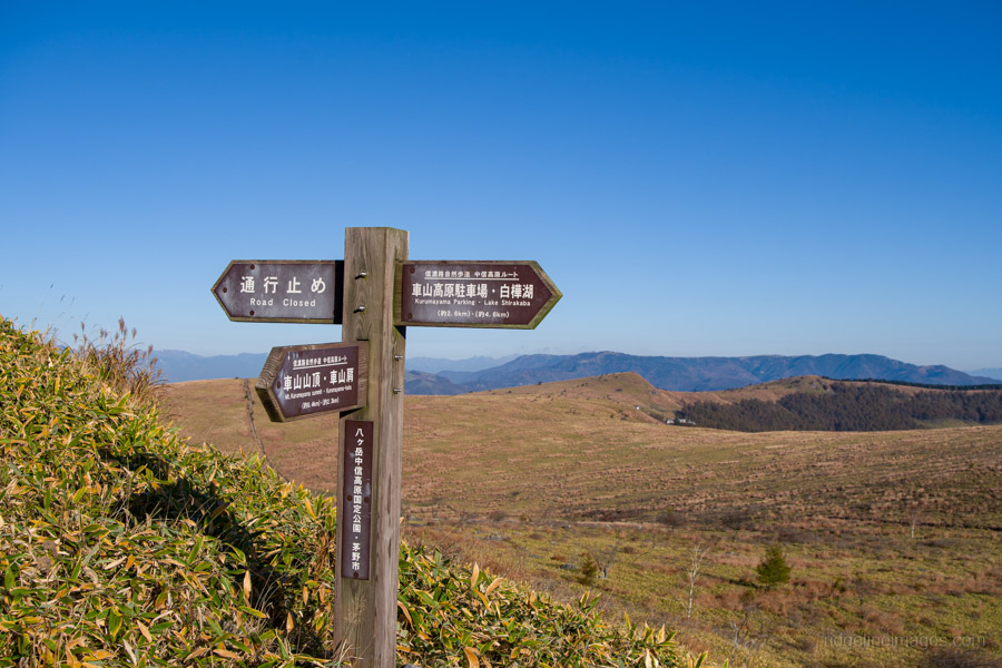
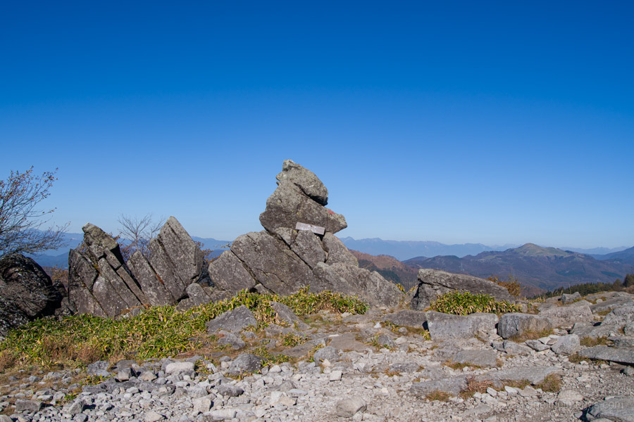
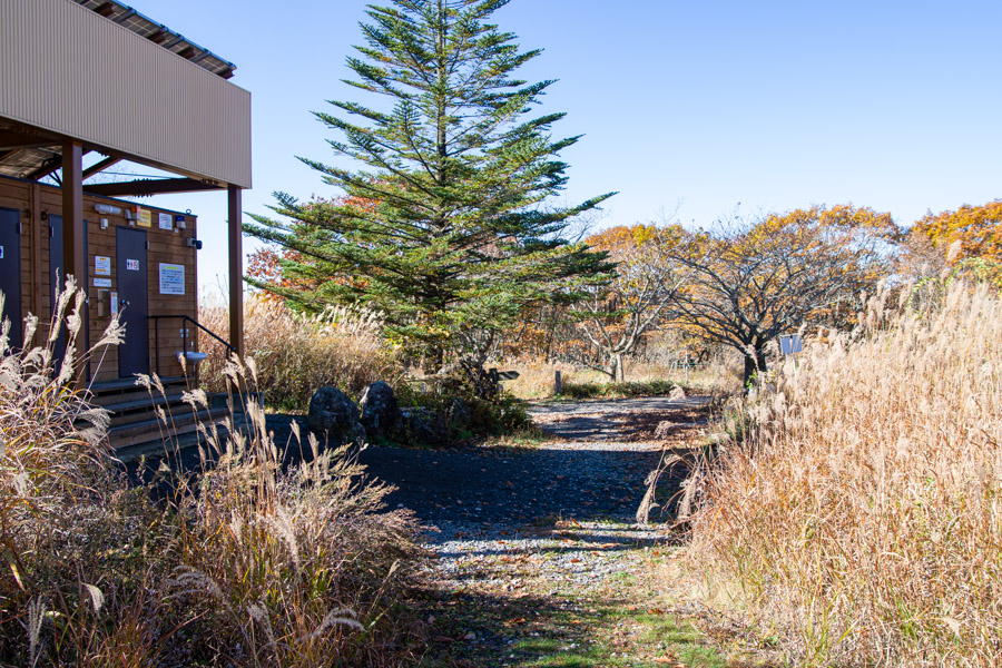
When you’re ready to set off, descend the eroded steps to Kurumayama Pass 車山乗越, where trails branch off in four directions. For the quickest route to Yashimagahara Wetland 八島ヶ原湿原, go straight ahead over Mt. Chochomiyama 蝶々深山. Next comes Monomi-iwa 物見岩, which, like Chochomiyama, is reached with surprising ease. The trail then descends to the former Kamagaike 鎌ヶ池 campsite, where you’ll find toilets and an entrance to the wetland.
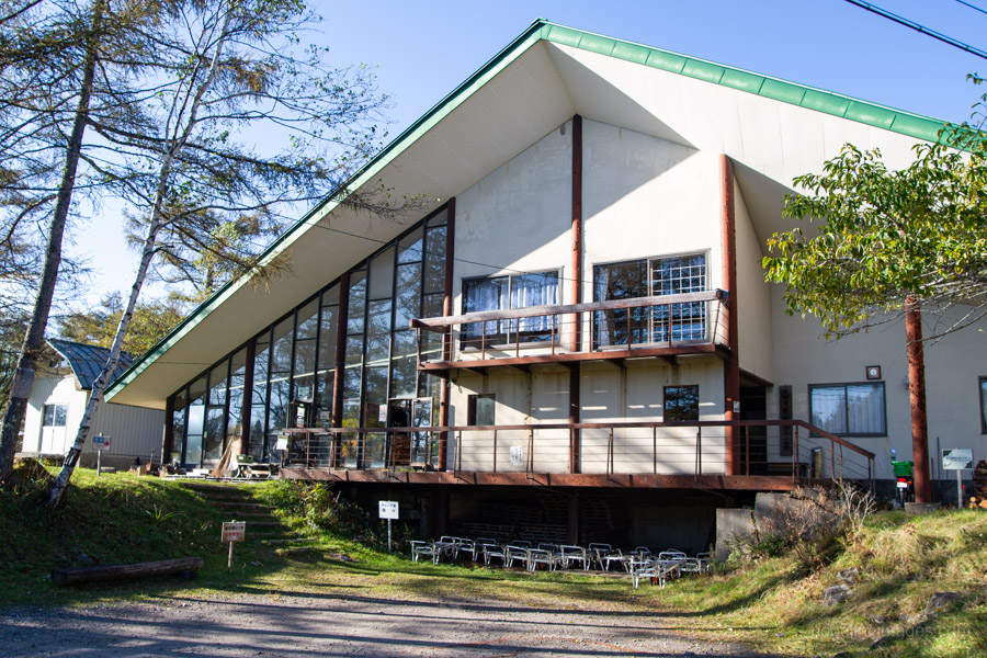
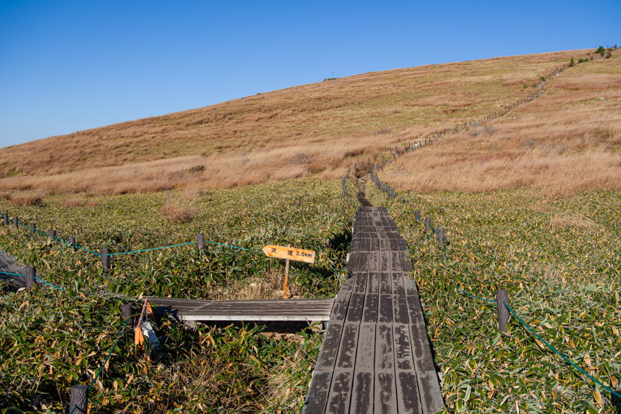
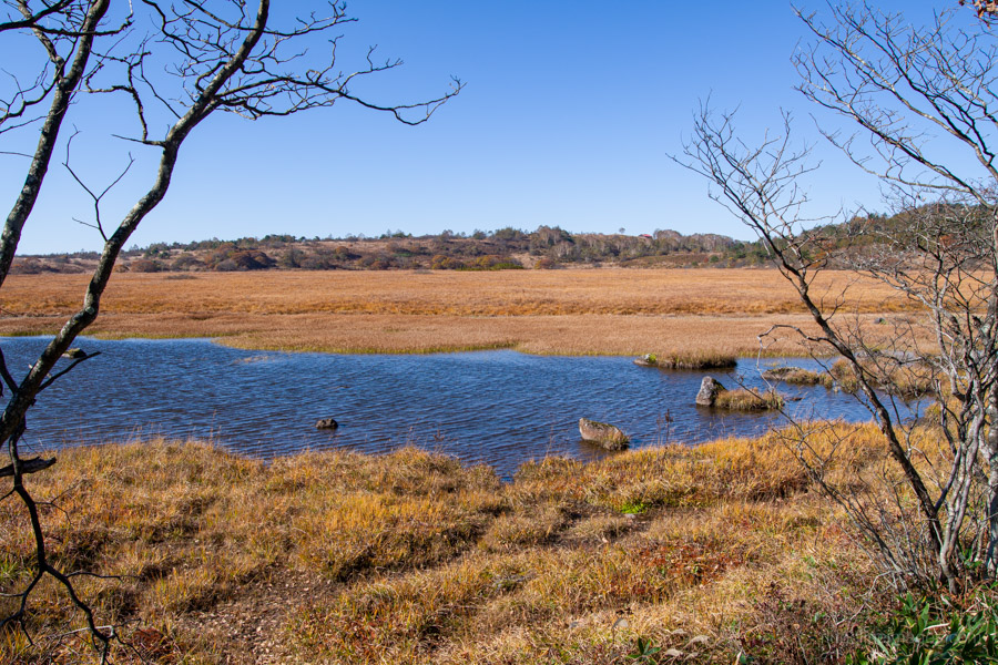
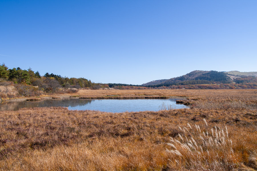
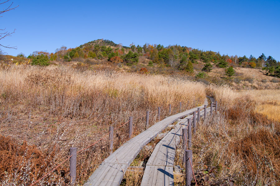
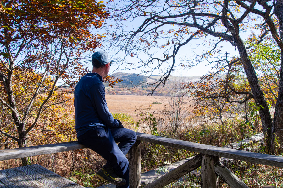
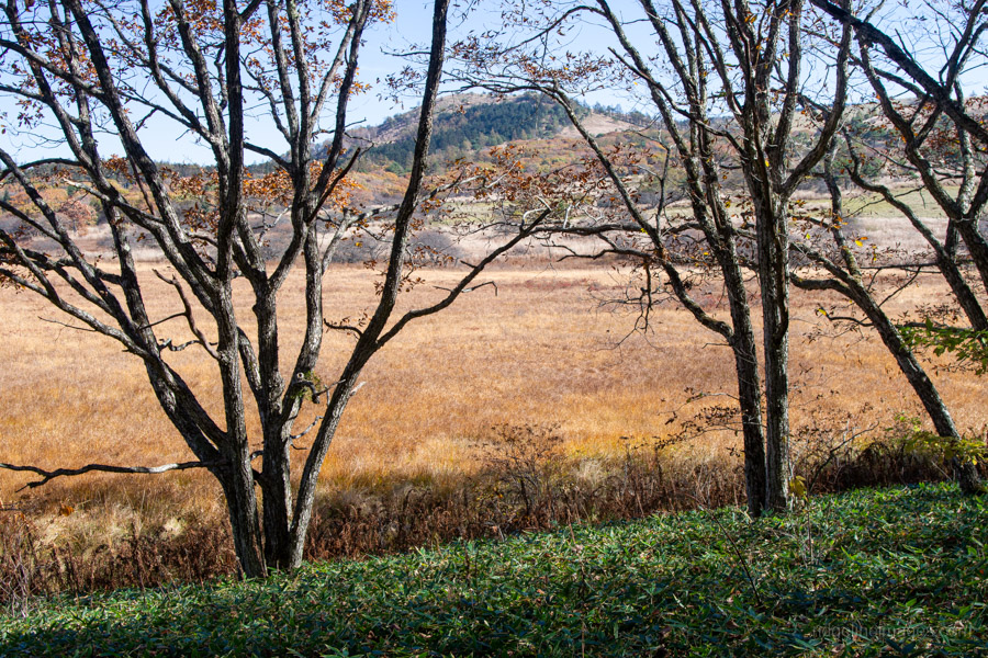
Much like at Oze, boardwalks circle the wetland to protect its fragile environment. The area is reasonably large, and a full circuit takes around an hour. Once again, I was struck by the number of casually dressed visitors and wondered how they’d made it this far. The answer was simple: they hadn’t hiked here at all. Many had driven or caught the bus to Yashima Visitor Center Azamikan 八島ビジターセンターあざみ館, just a stone’s throw from the wetland!
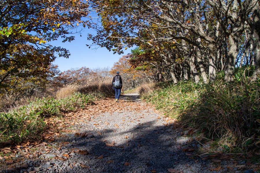
The autumn colours were near their best and looked vibrant against the blue skies. Leaving the boardwalks, the trail passes Hutte Misayama ヒュッテみさやま, a mountain hut tucked away at the south-western end of Yashimagahara, before cutting up to a wide gravel path. To avoid backtracking all the way to Kurumayama-kata, take the minor trail near Hutte Javel ヒュッテジャヴェル that cuts the corner. Once it rejoins the main trail, follow it back to the start and on to Kirigamine Campground. Thankfully, checkout at the campground isn’t until midday, leaving time to brew a cuppa and break camp before wandering back to the bus stop for the 12:24 pm bus to Kami-Suwa Station.