
.
Nakabusa Onsen 中房温泉 to Kamikochi 上高地
34.2 km
1460 metres
Highest point: 2922 metres
Start: Nakabusa Onsen bus stop
Finish: Kamikochi Bus Terminal
Difficulty: ▅▅▅▅▅▅▅▅▅▅ ❺
Map: Yama to Kogen Chizu 山と高原地図[No.40 槍ヶ岳・穂高岳 YARIGA-TAKE·HOTAKA-DAKE]
GPX TrackKML TrackGSI MAPPDF Topo Map
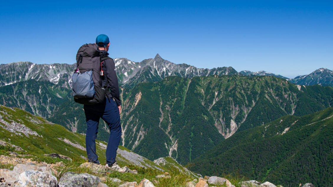
From 21–24 July 2026, I completed a three-day traverse of the Panorama Ginza in Nagano Prefecture. Having battled my way across the main Northern Alps a couple of years earlier, this time I turned my attention to the Jonen Mountain Range, running parallel across the Azusa River. Part of the Hida Mountains (better known as the Northern Alps), the Jonen Range is home to two of Japan’s most celebrated alpine traverses: the Omote Ginza and the Panorama Ginza. Above the treeline, an endless ridge of creeping pine stretches to the horizon, with panoramic views of Yarigatake, the Hotaka Range and the surrounding peaks unfolding along the way. Starting at the tranquil Nakabusa Onsen and finishing in the bustling resort of Kamikochi, the traverse passes over one Hyakumeizan and one Nihyakumeizan, with an optional side trip to Mt. Tsubakuro.
Although often mentioned together, the Omote Ginza and Panorama Ginza are two distinct traverses. Both begin at Nakabusa Onsen and share the same route to the Enzan-so near Mt. Tsubakuro. The two routes split at Otenshodake itself, the highest point of the Jonen Range and the branching peak between them. Omote Ginza, the older and more heavily trafficked of the pair, continues west from here to summit Yarigatake before dropping down to Kamikochi, a route that earned its ‘Ginza’ nickname from how busy it became once climbing Yari turned into a rite of passage for Japanese hikers. Panorama Ginza instead turns south, following the Jonen ridge over Jonen-dake and Choga-take before descending to Kamikochi. Both routes offer outstanding alpine scenery, but the Panorama Ginza is especially renowned for its continuous views across the Azusa River to Yarigatake, the Hotaka Range and the main spine of the Northern Alps.
Northern Alps Panorama Ginza Traverse July 21st to July 24th, 2026
Nakabusa Onsen to Kamikochi (3 days approx. 34.2 km)
Day 0: Tokyo ➩ Nakabusa Onsen 中房温泉 (bathing available until 5 PM) ➩ Nakabusa Onsen Campsite 中房温泉 (no reservations) (tent 2,500 yen includes onsen fee) (water available)
Day 1: Nakabusa Onsen 中房温泉 ➩ Kassen-goya 合戦小屋 ➩ Enzan-so 燕山荘 (water 1 litre 200 yen) ➩ Daitenso campsite 大天荘 (no reservations) (tent 2,000 yen) (water 1 litre 200 yen) 7hrs 30mins / 10.6km
Day 2: Daitenso campsite 大天荘 ➩ Jonen-goya 常念小屋 (water 1 litre 200 yen) ➩ Chogatake hutte campsite 蝶ヶ岳ヒュッテ (no reservations) (tent 2,000 yen) (water 1 litre 200 yen) 8hrs 30mins / 11.6km
Day 3: Chogatake campsite 蝶ヶ岳ヒュッテ ➩ Tokusawa Lodge 徳沢ロッヂ (water available) ➩ Kamikochi 上高地 5hrs / 12km
When to Go
The best time to hike the Panorama Ginza is from mid-July, or as soon as the rainy season ends, through to mid-October, though most mountain huts remain open until 3 November for those willing to accept increased weather risk in the shoulder season. From late October onwards, snow is likely along much of the main ridge, and winter conditions can arrive quickly. If hiking before early July, expect lingering snow patches and pack light crampons or check the latest trail conditions in advance.
Can it be Done in Fewer Days?
In my opinion, three days is the ideal duration for the Panorama Ginza, allowing enough time to enjoy the scenery without excessively long hiking days. However, if you typically walk faster than the estimated times on the maps and are comfortable with long days, it can be completed in two. To do so, aim to reach Jonen-goya on the first day (approximately 10 hours 30 minutes from Nakabusa Onsen). This leaves around 10 hours 30 minutes of hiking to reach Kamikochi on the second day. One advantage of hiking from the Nakabusa Onsen trailhead is that Kamikochi offers far more frequent bus services for the return journey.
Access
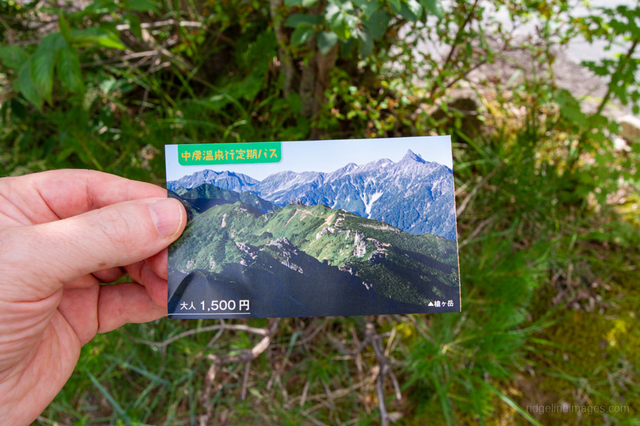
Both trailheads are easily accessible by public transport. From Tokyo, take a JR Chuo Line train towards Takao. If travelling on local services, you’ll normally need to change at Takao and Kofu before arriving at Matsumoto Station. Alternatively, the Limited Express Azusa provides a faster, direct service to Matsumoto. From Matsumoto, change to the JR Oito Line bound for Shinano-Omachi and get off at Hotaka Station after approximately 30 minutes. For the 2026 hiking season, minibuses operate between Hotaka Station and Nakabusa Onsen from 24 April to 30 November, with five to seven departures daily. The journey takes around 55 minutes, and the fare is 1,500 yen (cash only).
From Kamikochi Bus Terminal 上高地バスターミナル board a bus bound for Shinshimashima Station 新島々駅 and transfer to the Kamikochi Line for Matsumoto Station. A one-way combined train and bus ticket from Matsumoto to Kamikochi costs 3,810 yen and takes around 1 hour and 40 minutes. It’s recommended to book online through j-bus in advance.
Huts, Campsites and Costs
Camping helps keep costs to a minimum. However, since COVID, campsite fees at many mountain huts have increased significantly, with some doubling in price. Staying in mountain huts is considerably more expensive, with accommodation now averaging around 16,000 yen per person per night, including dinner and breakfast.
My total cost for the three-day hike was 24,750 yen, broken down as follows:
• Local trains to Hotaka Station: 4,180 yen
• Minibus to Nakabusa Onsen: 1,500 yen
• Return bus and train from Kamikochi to Matsumoto: 3,810 yen
• Limited Express Azusa from Matsumoto to Tachikawa: 5,760 yen
• Campsite fees: 6,500 yen
• Miscellaneous expenses (water, toilets, drinks and snacks): approximately 3,000 yen
Total (camping): 24,750 yen
By comparison, staying in accommodation rather than camping for all three nights would increase the total cost to approximately 66,250 yen.
Cut and Run
If, for any reason, you need to abandon the hike, your escape options are surprisingly limited. Aside from backtracking to Nakabusa Onsen on the first day, the only practical exit is to descend from Jonen-dake to Mitsumata 三股. From there, a reservation-only bus (three services a day, 2,000 yen per person, booked and prepaid online) runs to JR Hotaka Station between 17 July and 13 October.
This service is far less reliable than it first appears. It only runs in both directions on Saturdays, Sundays and public holidays. The day immediately before a weekend or holiday, only up-bound services towards the trailhead run – of no use if you’re trying to get out. The day immediately after, only down-bound services run. On an ordinary weekday falling outside those windows, there is no service in either direction at all. A booking must also be made in advance through the operator’s website; there is no walk-up option.
In practice, this means a weekday descent to Mitsumata cannot be relied upon as a genuine bail-out option – you may reach the road and find no bus coming at all. If you’re hiking on weekdays, treat this exit as unavailable unless you’ve confirmed the day’s service calendar in advance and hold a booking. Beyond Jonen-dake, there are no realistic escape routes until reaching Kamikochi.
Food and Gear
As with any multi-day hike, it’s essential to balance bringing the necessary gear and comfort items that, while increasing weight, enhance safety and the overall experience. If hiking during the shoulder seasons, pack sufficient warm clothing, as temperatures can drop to freezing overnight. My gear and food were similar to what I carried on the Yatsugatake Grand Traverse. Mountain huts along the traverse only serve meals to paying guests, though most sell basic snacks like instant noodles. Lunchtime meals like ramen, udon, or curry rice are often available for around 1,200 yen. My pack, including food, weighed just over 10 kg. Adding water made it moderately heavy, especially initially.
Northern Alps Panorama Ginza Traverse
Day 0: Tokyo to Nakabusa Onsen
Day 1: Nakabusa Onsen to Daitenso
Day 2: Daitenso to Chogatake Hutte
Day 3: Chogatake Hutte to Kamikochi
Day 0: Tokyo to Nakabusa Onsen 中房温泉
Jul 21, 2026
Route:
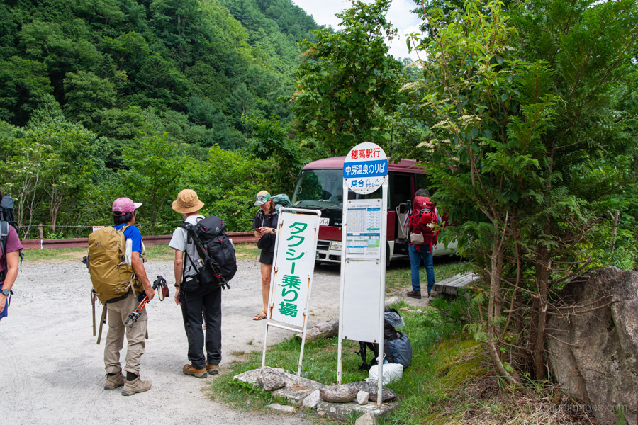
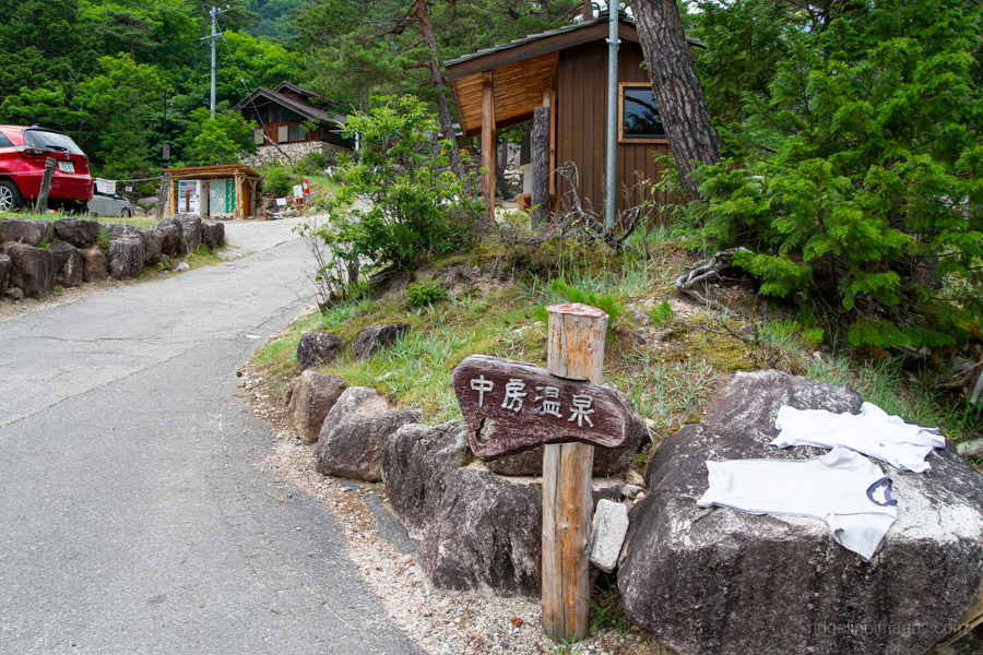
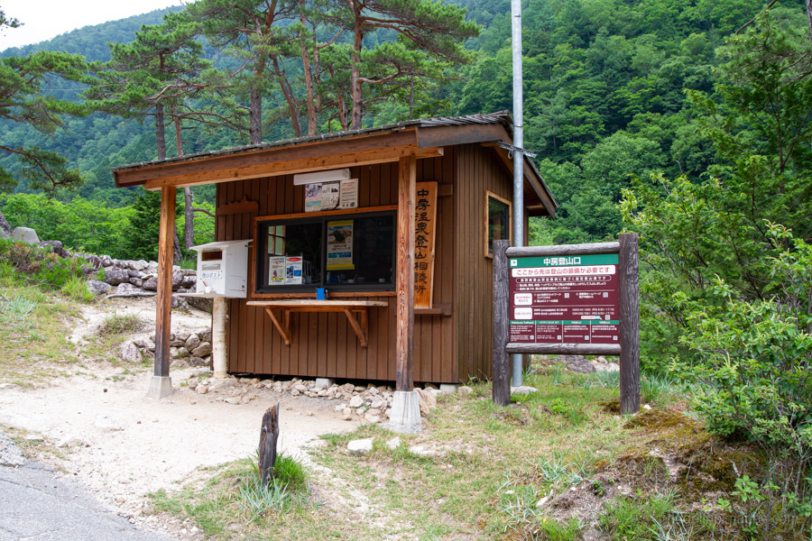
There isn’t really a route to describe for Day 0 – it’s simply about travelling from Tokyo to Nakabusa Onsen, which takes until early afternoon by local train, as outlined in the Access section above. Once you arrive, the campground and reception hut are just a short walk from the bus stop, leaving plenty of time to pitch your tent, relax in the outdoor onsen and prepare for an early start the following morning.
Diary:
Having completed a long traverse across the Northern Alps back in the summer of 2024, this time I was looking for something a little shorter but with equally impressive vistas – enter the Panorama Ginza.
Another aspect that really appealed to me was the lack of reservations required, apart from the return bus and train from Kamikochi. That suits me perfectly, as I usually wait until the last possible moment before pulling the trigger on a hike. Being on summer holidays also means I can hold out for the best weather. This flexibility, however, is becoming increasingly rare, as many campsites throughout the Japanese Alps have introduced reservation systems for tent sites to help manage overcrowding, often with additional charges for those who turn up without a booking.
As I had plenty of time to reach Nakabusa Onsen, I took local trains all the way to Hotaka Station. I quite enjoy travelling this way – I can eat, drink, doze along the journey, and it keeps costs down. The return trip is a different story, as by then I’m usually keen to get home as quickly as possible.
Stepping off the train at Hotaka Station was like walking into a wall of heat. With the rainy season officially declared over in the Kanto–Koshin region, temperatures had climbed rapidly, with Nagano reaching 38°C. I was more than happy that the queue for the minibus lasted less than ten minutes. Even better, the bus itself was only about half full, no doubt because it was the middle of the day.
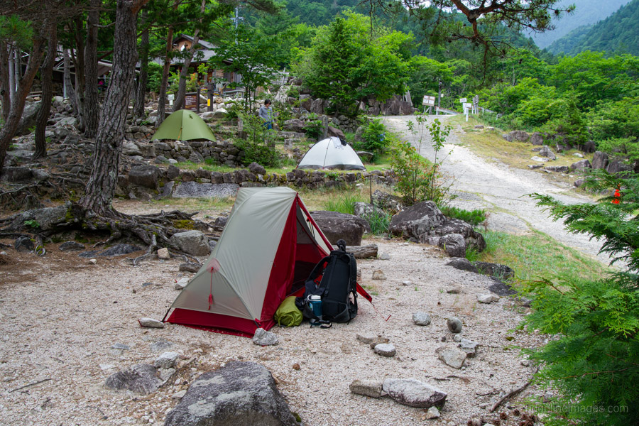
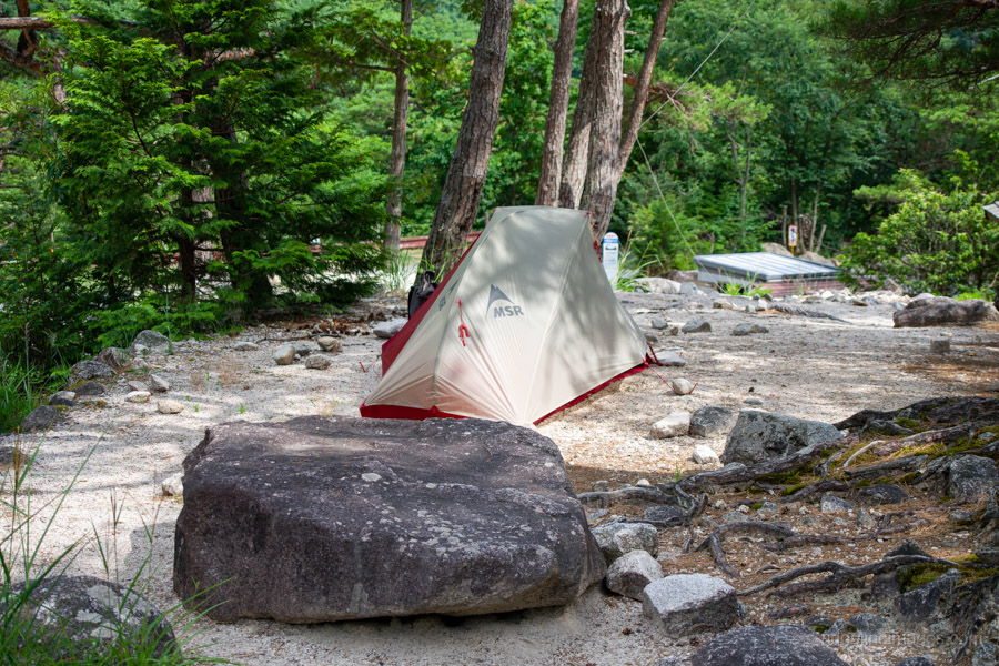
Being whisked up to almost 1,500 metres at Nakabusa Onsen makes a remarkable difference, something you notice the moment you step off the bus. Arriving at around 2 pm, I was surprised to find the campground still completely empty, allowing the handful of us arriving that afternoon to choose the best shady spots.
One unusual feature of the campsite is that warmth from the natural hot springs gently permeates the ground. You don’t really notice it by placing your hand on the soil, but once you’re lying on your sleeping pad the heat becomes surprisingly obvious. It’s perhaps not ideal in midsummer, but I imagine it would be a welcome bonus during the cooler shoulder seasons.
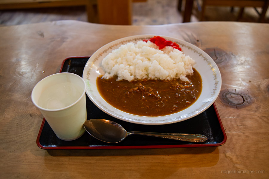
With the tent pitched, it was time to visit the area’s namesake attraction – the rotenburo, or outdoor hot spring. While the campsite fee is a little higher than average, it includes complimentary access to the baths. Afterwards, I treated myself to a plate of curry rice in the dining area, which hit the spot perfectly.
I was really enjoying myself. It’s such a comfortable place to stay that, for a moment, I found myself wondering why I’d come here to hike at all when simply relaxing at Nakabusa Onsen was so tempting.
.
Day 1: Nakabusa Onsen 中房温泉 to Daitenso 大天荘
7hr 30 min 10.6 km 1530 m 190 m Jul 22, 2026
Route:
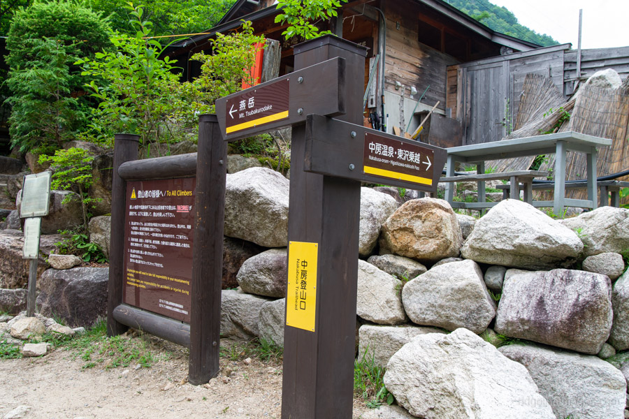
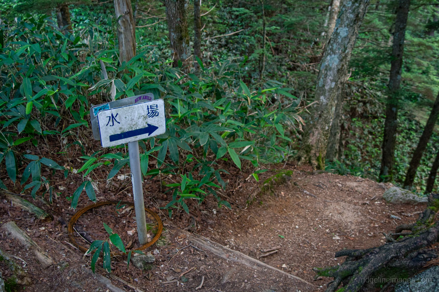
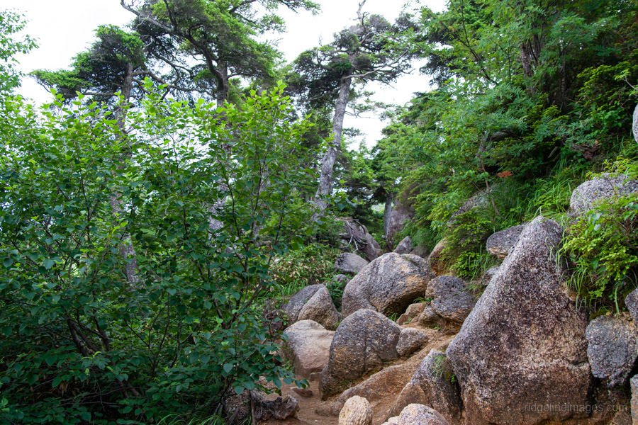
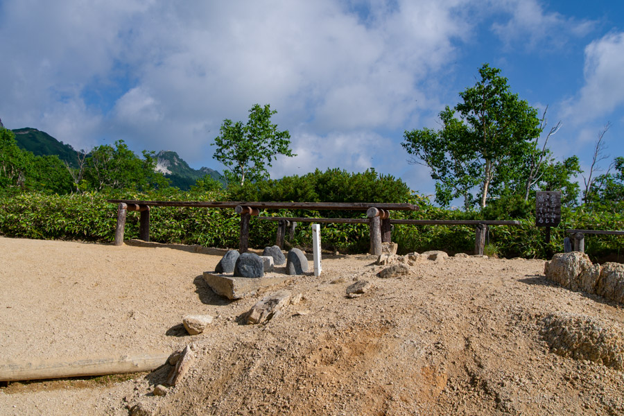
The trail begins beside the administration building and campground water source, climbing immediately onto the Kassen Ridge 合戦尾根, regarded as one of the three steepest approaches in the Northern Alps. The ascent is relentless from the outset. After about 30 minutes, a short side trail leads to the first and only natural water source on the entire traverse. From here onward, all water must either be carried or purchased at mountain huts.
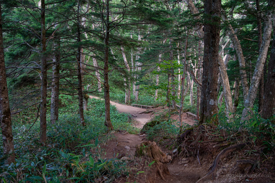
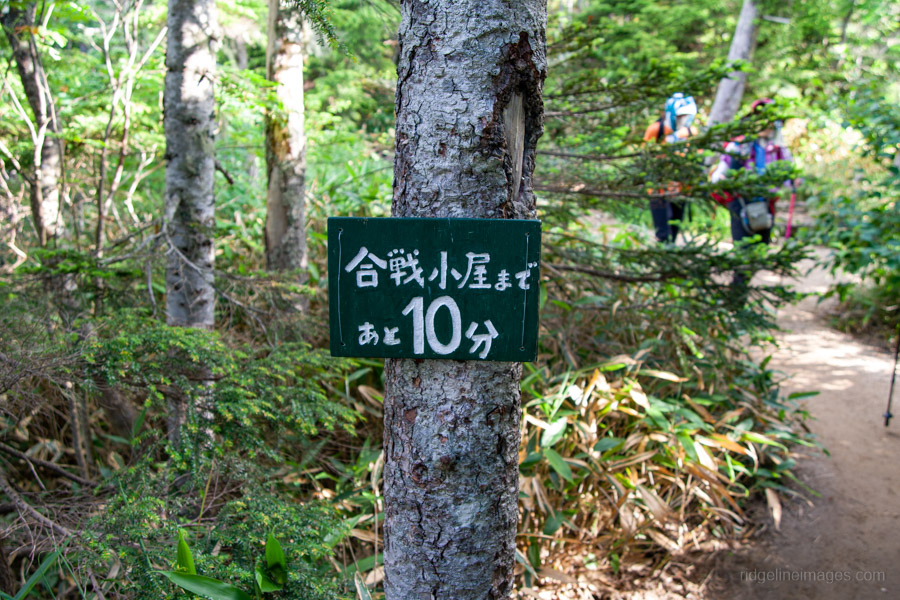
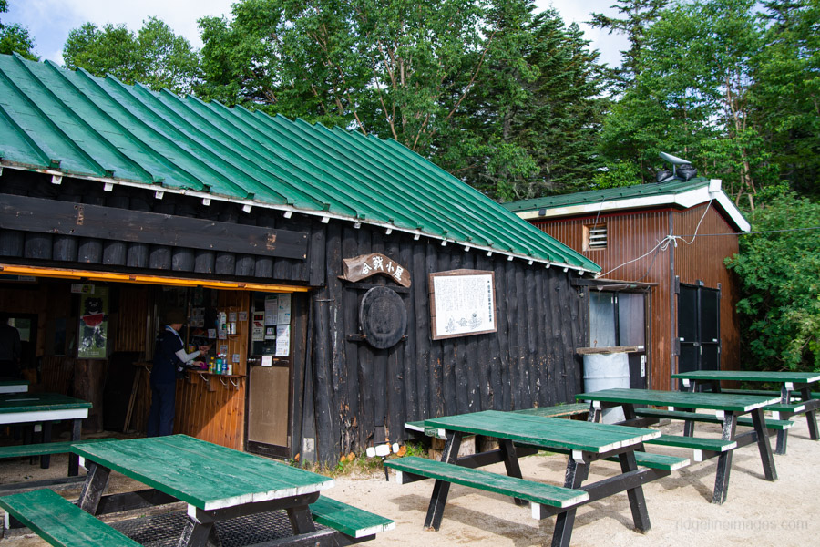
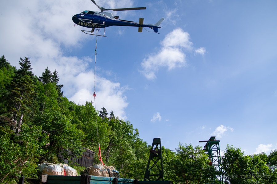
The trail is, as expected given that amount of foot traffic, well maintained. Four rest areas with benches provide welcome opportunities to catch your breath before reaching Kassen Hut 合戦小屋. There are no views during the lower stages of the climb, as the route remains within the forest. A cableway used to transport supplies to the hut crosses the trail once and in summer is famously used to haul watermelons to the hut.
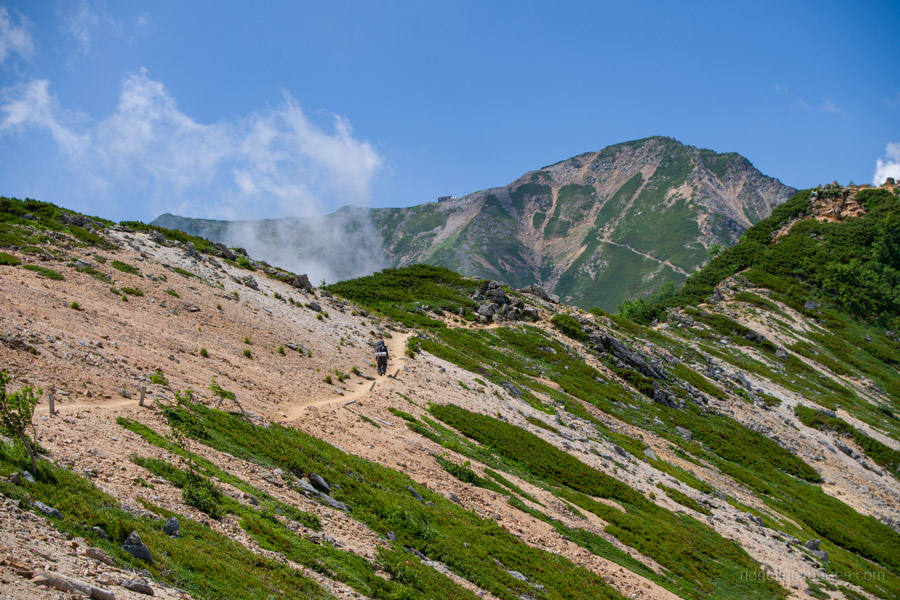
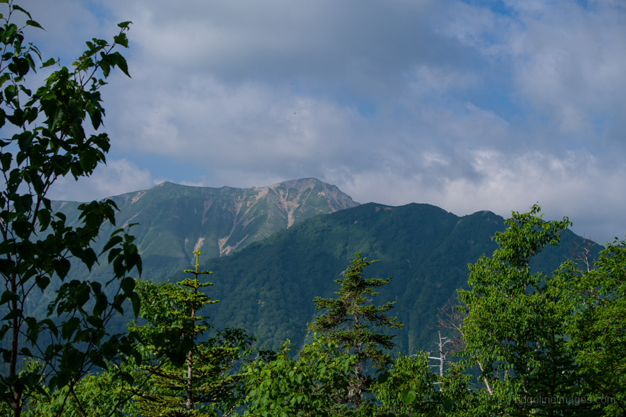
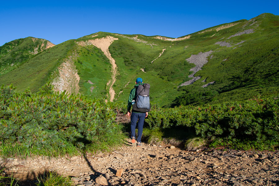
Beyond Kassen Hut, the character of the trail begins to change. The gradient eases noticeably, and the forest gradually gives way to granite outcrops characteristic of the mountains north of Mt. Jonen. Before long, the distinctive spear-shaped summit of Mt. Yarigatake appears above the ridgeline for the first time.
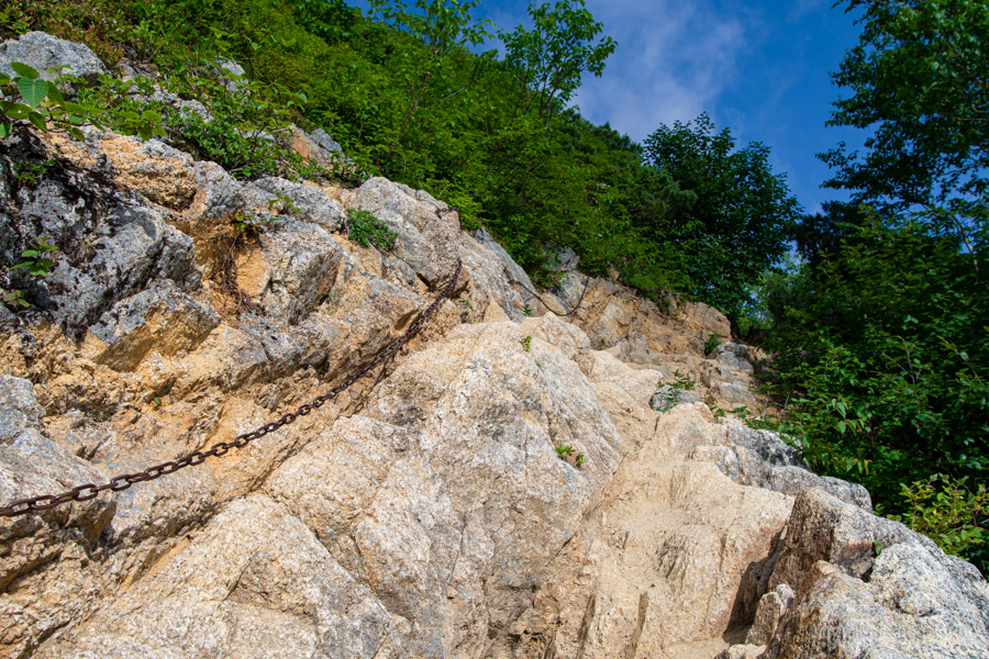
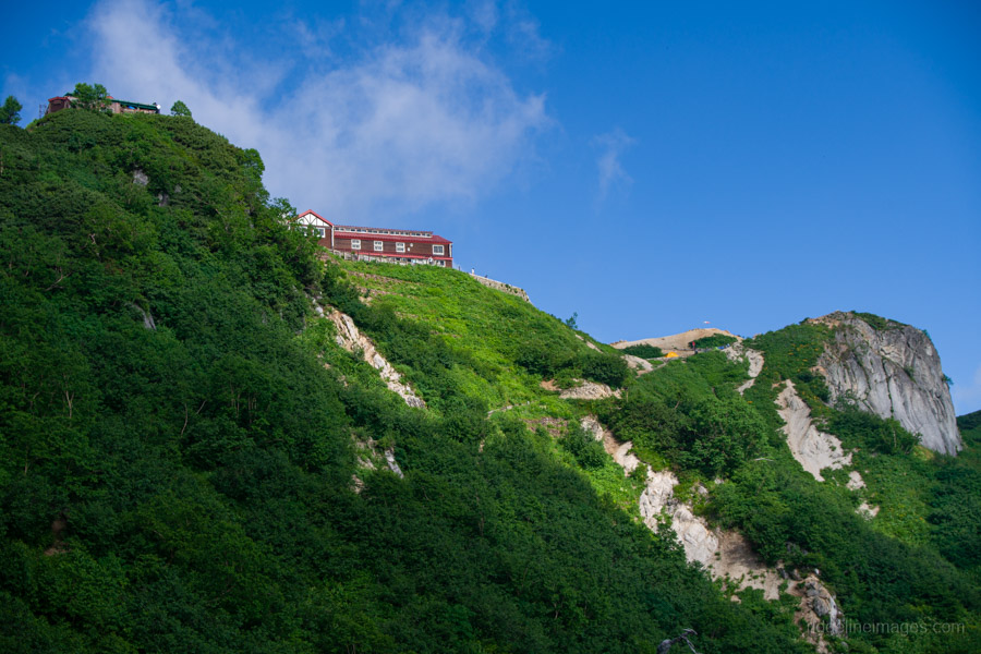
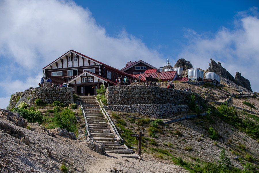
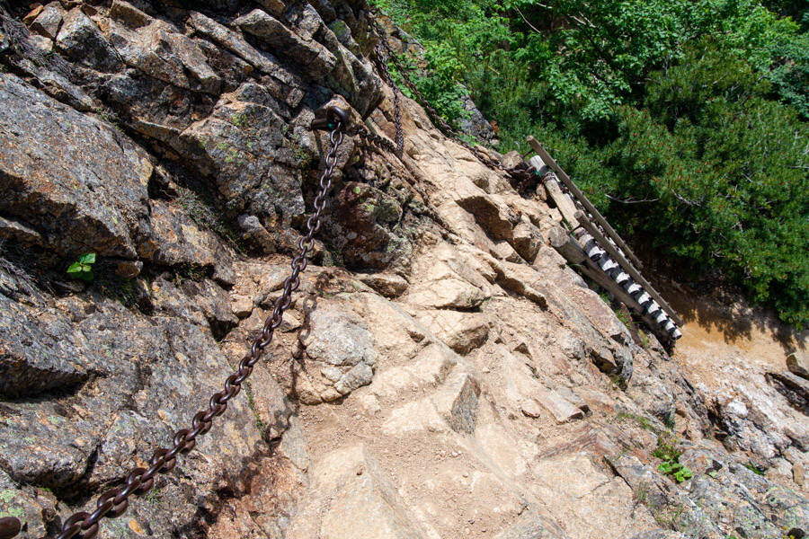
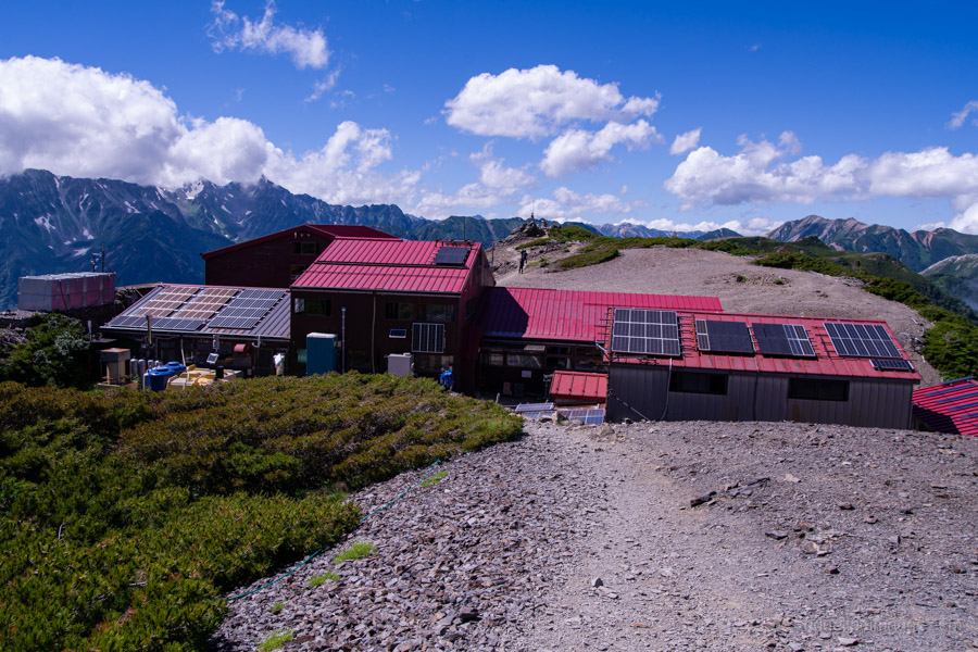
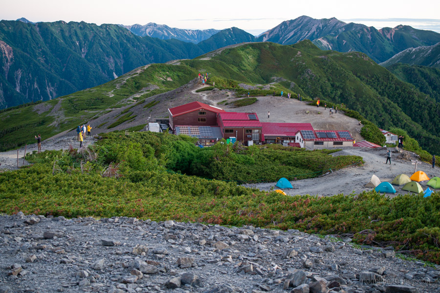
Passing the triangulation point marking Mt. Kassen (2,488 m), Enzan-so 燕山荘 finally comes into view. A short section fitted with chains immediately below the hut presents no real difficulty. Reaching Enzan-so took me almost exactly four hours. The reward is immediate. An outstanding panorama opens across the Northern Alps, making the long climb instantly worthwhile. If you intend to visit Mt. Tsubakuro, this is the ideal place to leave your pack and make the one-hour return trip to the summit.
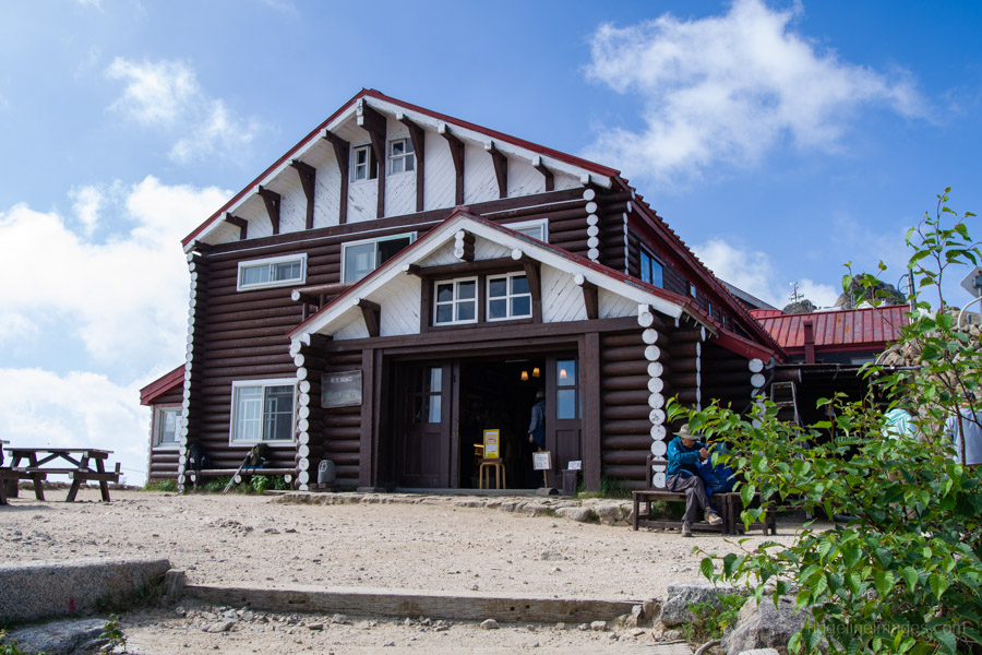
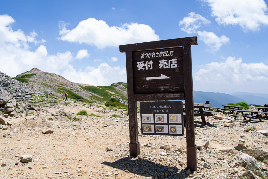
Enzan-so is one of the busiest and biggest mountain huts in the Northern Alps, accommodating up to 650 people, with tent sites and lodge accommodation often fully booked on weekends during the peak season. After topping up my water supply (200 yen per litre), it was finally time to begin the Panorama Ginza proper.
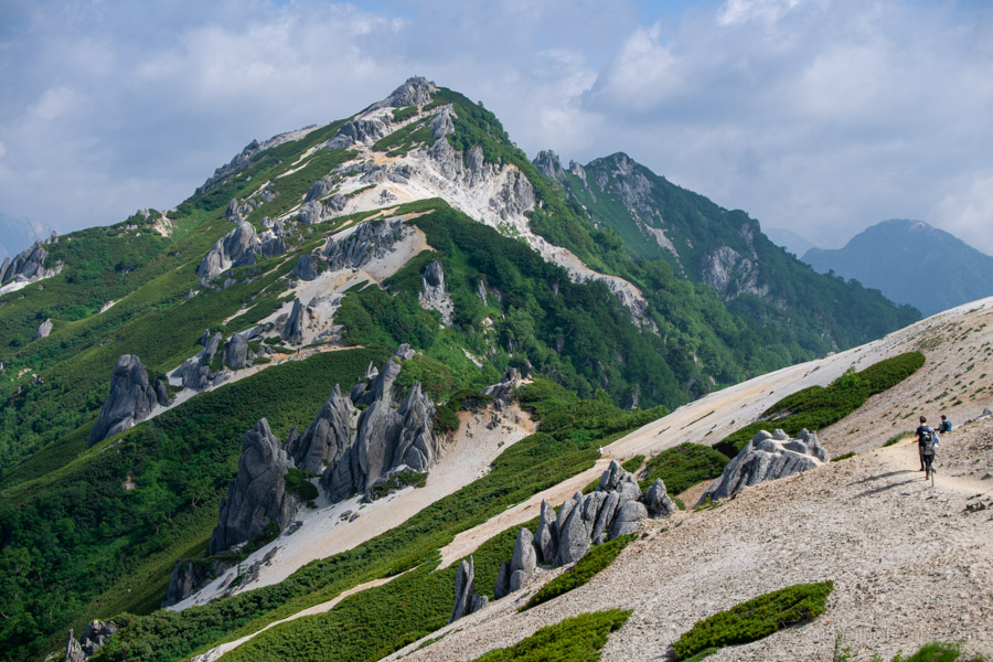
Rather than walking towards occasional viewpoints, the views accompany you almost continuously. Mt. Yarigatake dominates the skyline ahead, while this section also forms part of the famous Omote Ginza route.
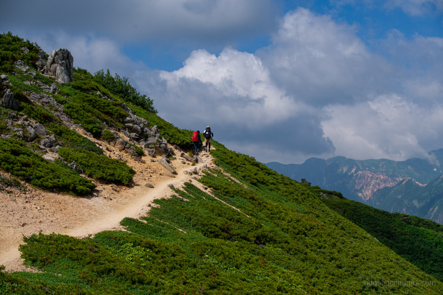
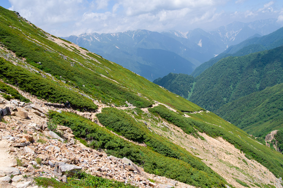
The ridgeline itself is gentle and easy to follow, although in summer there is very little shade. Loose granite gravel underfoot can also make footing slippery in places. The trail undulates across the ridge without any particularly exposed sections, making for relaxed but highly scenic walking.
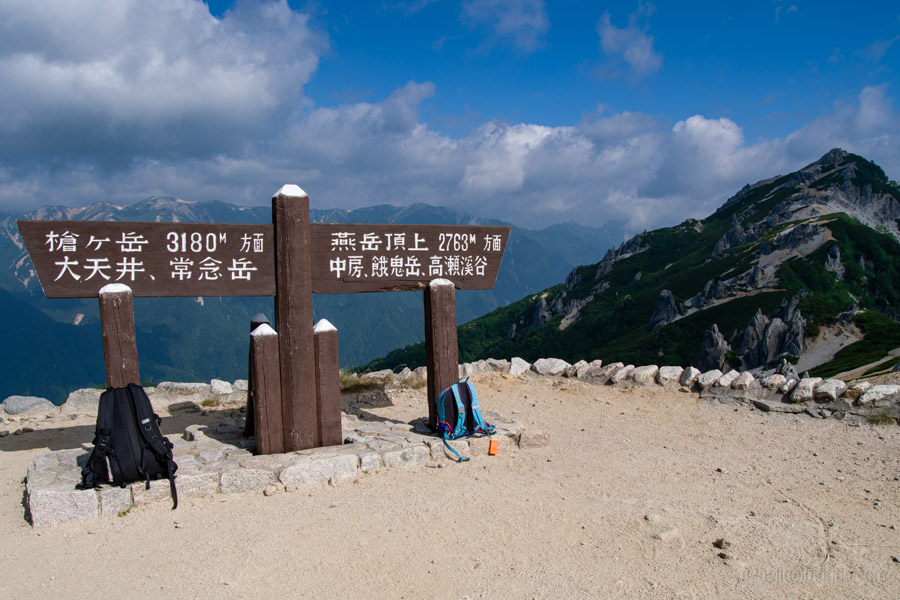
Before the final climb to Mt. Otensho, the trail crosses the small rocky notch of Kiridoshi-iwa 切通岩, where a short chain-assisted descent is straightforward. Nearby stands a relief of Kisaku Kobayashi, the mountain guide who helped establish this route during the Taisho era.
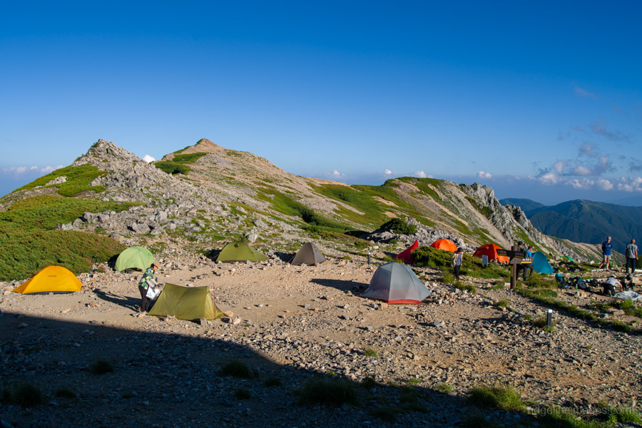
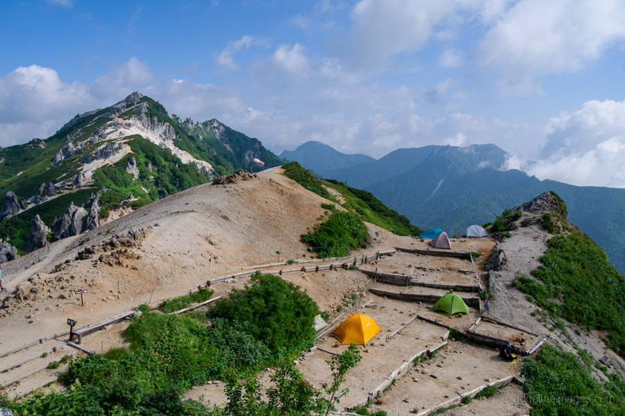
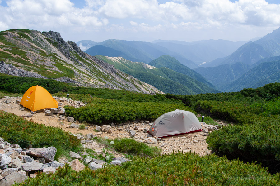
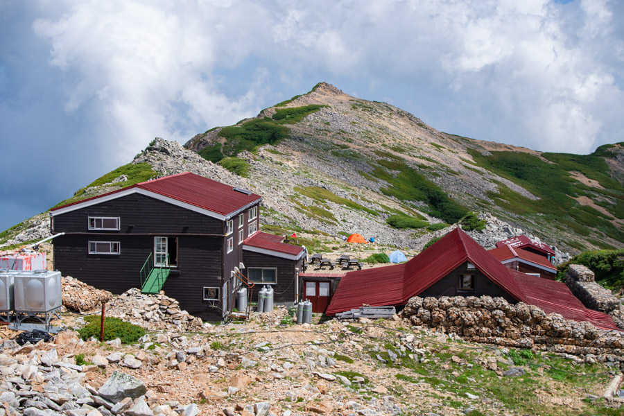
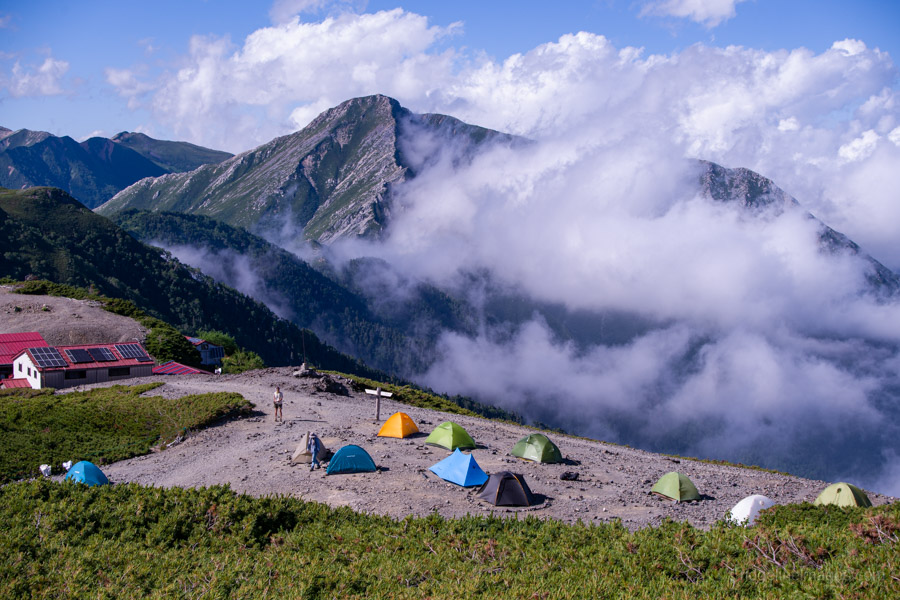
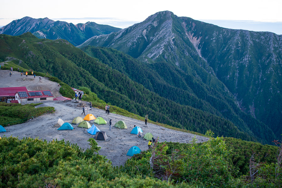
At the junction for Mt. Jonen and Mt. Yarigatake, turn left for the summit of Mt. Otensho. One final climb leads to Daitenso 大天荘, where campsites cost 2,000 yen. The campground enjoys magnificent views across to Mt. Yarigatake and the Hotaka Range. Some slightly more sheltered tent pitches can be found below the hut, but wherever you camp, ensure your tent is securely anchored, as strong winds are common.
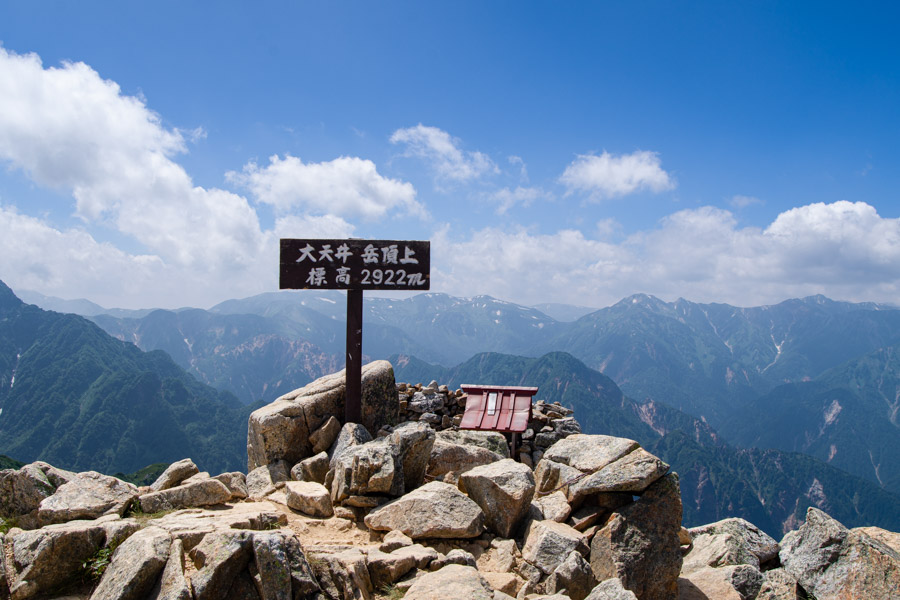
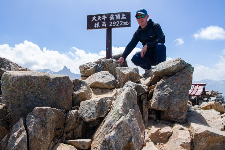
Once your tent is pitched, the summit of Mt. Otensho (2,922 m), the highest peak in the Jonen Mountain Range, is just a 10-minute walk behind the hut. From the summit, tomorrow’s objective, Mt. Jonen, is clearly visible along the ridge.
Diary:
While I’d had some warning that the thermal heat radiating through the ground might not be much fun in summer, I think that understated things a little. Even though the overnight temperature dropped into the mid-teens, it was still warm enough to sleep comfortably with my sleeping bag completely unzipped and spread out. In hindsight, I needn’t have taken it out of its stuff sack at all – the sleeping bag liner would have been more than enough.
I still slept reasonably well and, true to form, was awake at my usual summer time of 3:15 am. Soon enough I had the stove going, brewing my customary morning Milo generously lined with Morinaga Creap, which also found its way into my breakfast muesli.
With breakfast eaten and camp packed away, I hit the trail at 4:20 am, a time in mid-July when you can safely leave the headlamp in your pack. I’d read that the Kassen Ridge was one of the steepest climbs in the Northern Alps, and it certainly lived up to its status. Thankfully, it’s also exceptionally well maintained, making the long haul with a backpack just that little bit easier.
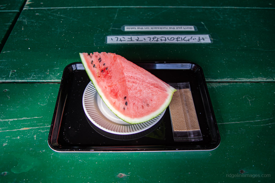
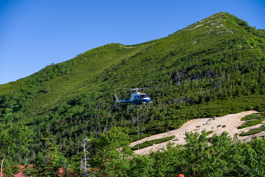
More than anything, though, I was looking forward to reaching Kassen Hut, where a slice of watermelon awaited – an unlikely but thoroughly welcome treat at 2,350 metres. Thanks to the cableway supplying the hut, such luxuries are possible. The only thing I hadn’t factored in was the morning helicopter making repeated supply runs, doing its absolute best to separate me from my 600 yen slice of watermelon. The paper plate disappeared across the mountainside; thankfully, the watermelon remained firmly in hand.
Refuelled, I pushed on towards Enzan-so. I still can’t quite get my head around this seemingly modest hut complex managing to feed and accommodate around 650 hikers. Quite how they pull it off is beyond me. While I was tempted to leave my pack and make the return trip to Mt. Tsubakuro, I felt I wouldn’t have enough time to properly appreciate a mountain that, by most measures, could easily deserve a place among the Hyakumeizan. I decided to save it for another visit.
One downside of the Panorama Ginza is the lack of water. Apart from the spring about 30 minutes into the climb, there are no natural water sources until Kamikochi. At Enzan-so I asked about buying water and was simply pointed towards a tap on the side of the hut, where a staff member relieved me of 200 yen, handed me the tap handle, and let me fill my own bottles. Every hut seemed to have its own variation of the same system. Some simply had a wooden box to drop your coins into, while another even allowed you to insert banknotes and help yourself to the correct change. It was one of those wonderfully Japanese occurrences where everyone simply trusts everyone else.
The Panorama Ginza certainly lived up to its reputation. Once beyond Enzan-so, magnificent views accompanied almost every step. Although there were a few hikers about, I had long stretches of the ridgeline entirely to myself. The walking itself is never especially difficult, with only the occasional narrow, gravelly section requiring a little extra care. The real challenge in midsummer is the heat. On the Azusa River side, a breeze often helped take the edge off. On the opposite side, however, there was little shelter from the sun, and the granite underfoot seemed to radiate heat back at you, steadily draining what energy remained.
Reaching Daitenso just after midday came as something of a relief. After registering for the campsite, I found a slightly more sheltered pitch, set up the tent, and retreated beneath a cover of creeping pine to eat lunch and escape the worst of the sun. More than anything, the lack of water to simply splash over my face and campsites that resemble sun-baked gravel car parks rather than alpine tree cover made the day feel tougher than it probably should have. A nagging headache didn’t help either, and dinner unfortunately didn’t stay down for long. By evening the wind had picked up considerably, but exhaustion eventually won out, and despite everything I managed a decent night’s sleep.
.
.
Day 2: Daitenso 大天荘 to Chogatake Hutte 蝶ヶ岳
8hr 30 min 11.6 km 800 m 950 m Jul 23, 2026
Route:
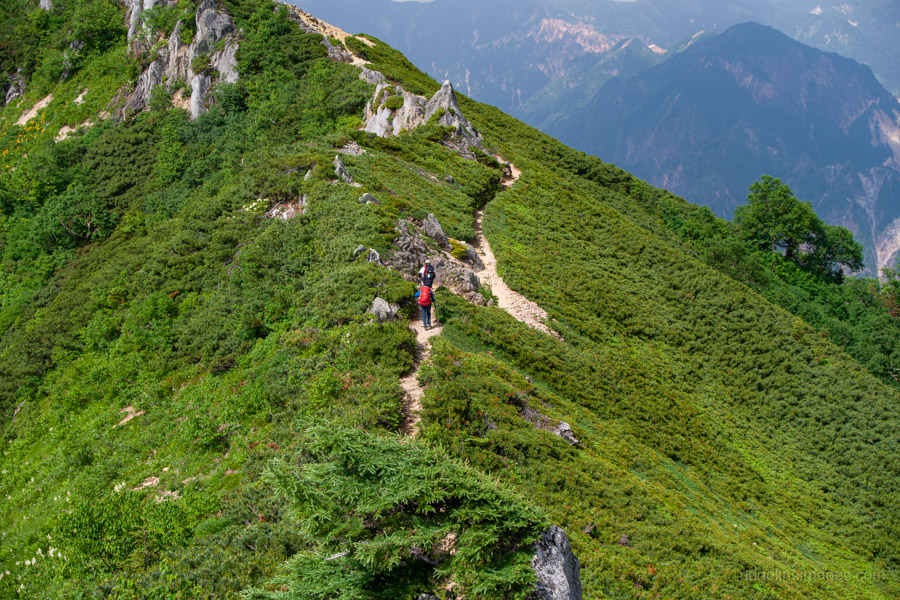
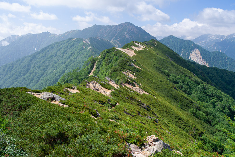
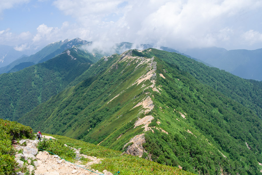
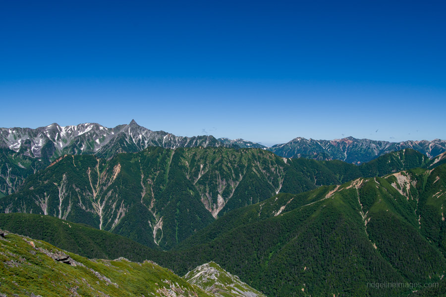
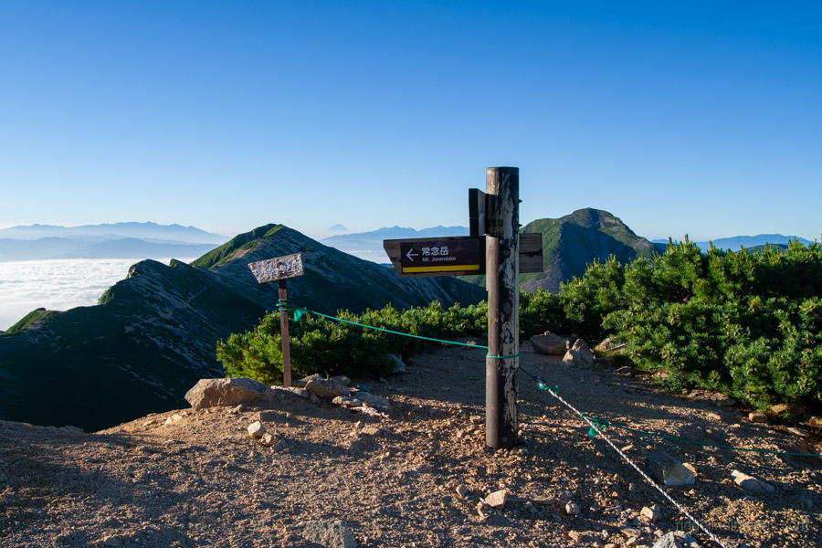
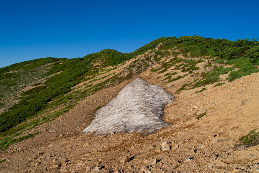
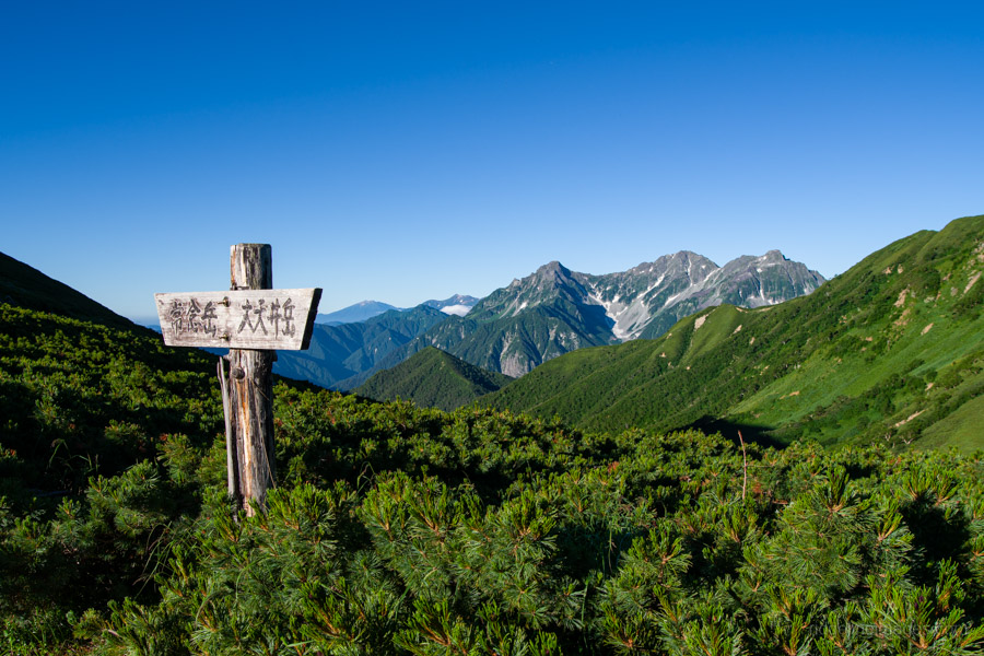
Day 2 is both longer and more demanding than the previous day, although the effort is more than offset by the magnificent scenery that accompanies you for almost the entire hike. While many hikers leave the Panorama Ginza at this point and descend east towards the Omote Ginza route, the Panorama Ginza instead continues south towards Mt. Jonen, which remains in view for much of the morning.
The day begins with a gentle descent towards the saddle below Mt. Higashitensho-dake 東天井岳. The ridgeline is lined with dwarf pines and, in fine weather, offers uninterrupted panoramic views much like those enjoyed the previous day. The gradients remain relatively easy at first, making for pleasant ridge walking. The trail itself bypasses the summit of Mt. Higashitensho-dake on its western side, although a short side path reportedly leads to the top.
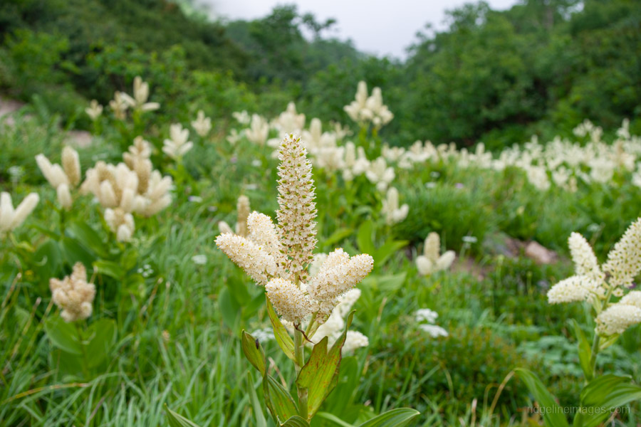
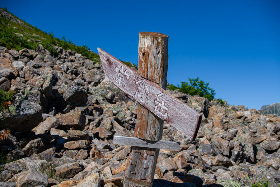
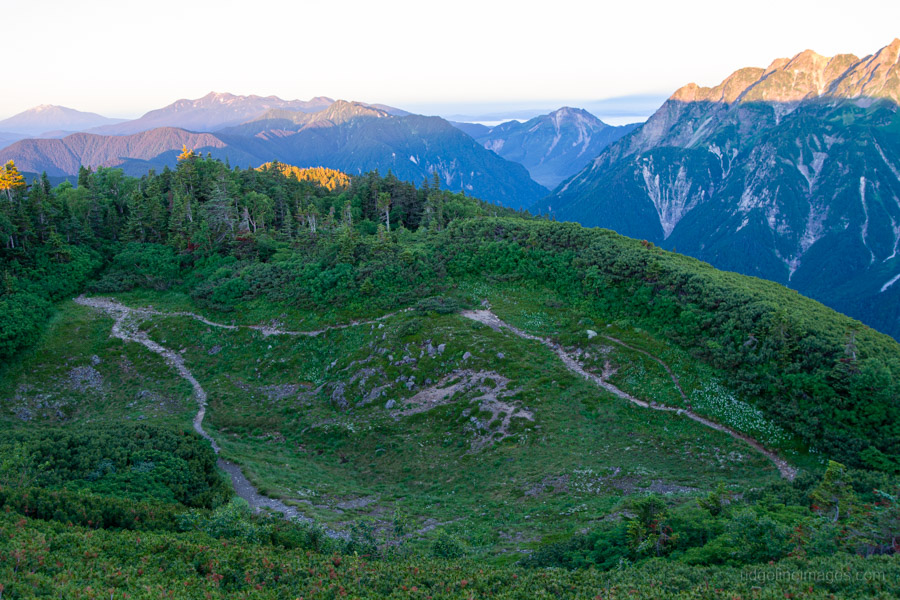
Beyond here the route gradually swings left, descending through alpine meadows that, in summer, are dotted with wildflowers, including chinguruma. Before long, the elegant pyramidal profile of Mt. Jonen comes into full view, steadily growing larger as you approach the Jonen Saddle 常念乗越.
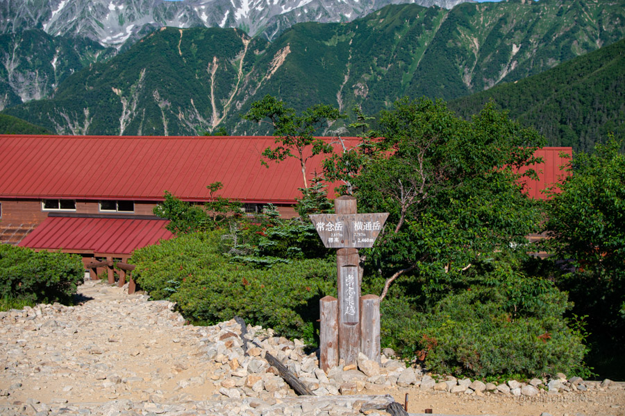
A short climb over the shoulder of Mt. Yokotoshi-dake 横通岳 follows. The summit itself is bypassed, although there is a small rest area nearby before the trail descends to Jonen-goya 常念小屋. As you near the saddle, the route briefly re-enters the forest before emerging at the hut.
Jonen-goya is another mountain hut where campsite reservations are not required, as well as being a convenient place to rest and replenish your water supplies. Alongside the usual mountain hut staples such as curry rice, the menu also includes pizza, cheesecake, and apple pie.
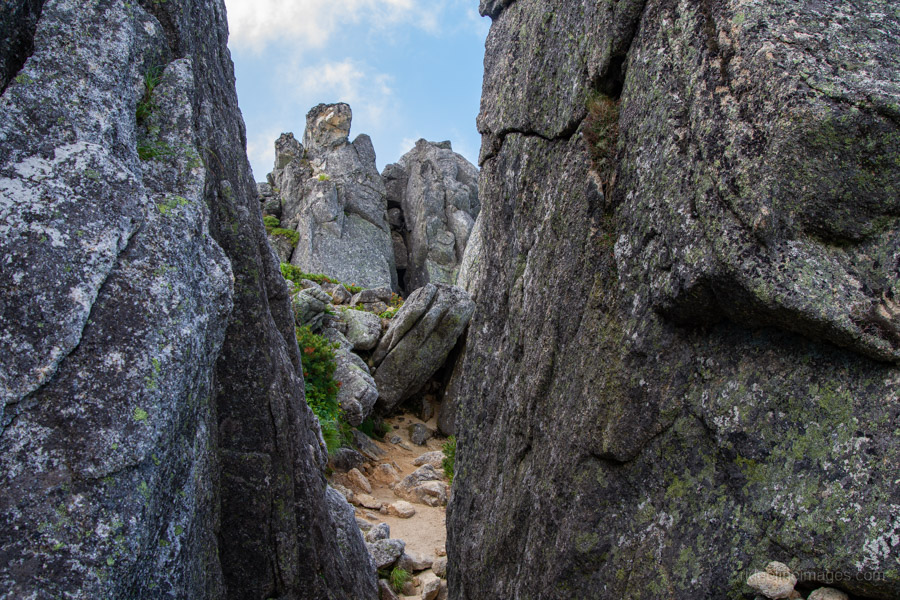
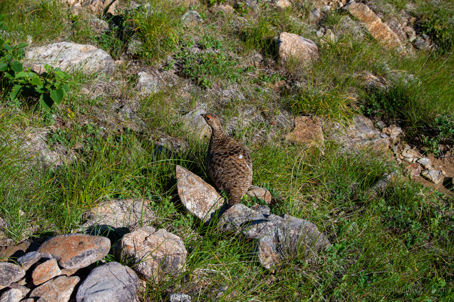
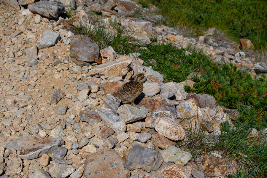
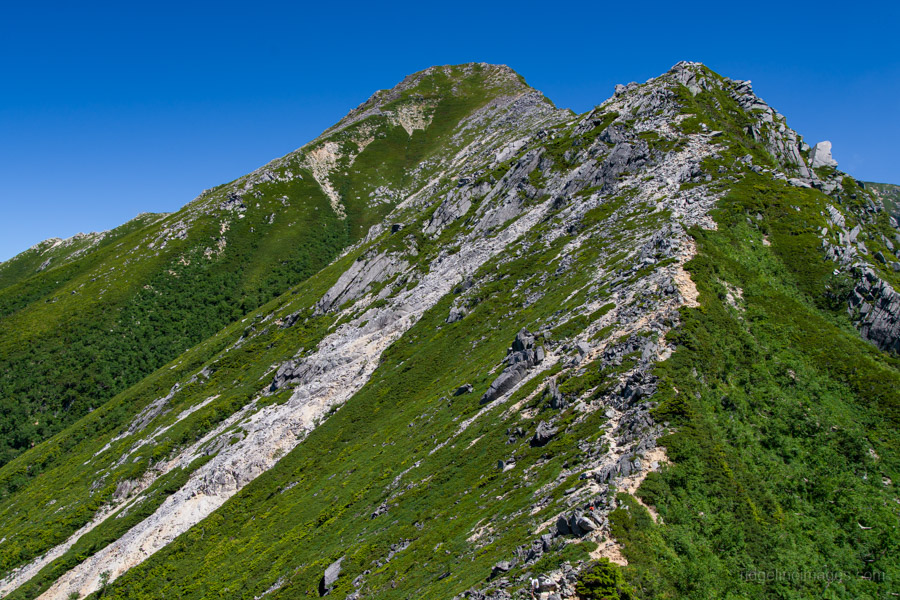
Although the elevation gain from Jonen-goya to the summit of Mt. Jonen is only around 400 metres, the climb is considerably tougher than it first appears. The route follows typical Northern Alps terrain, with loose rocks. What initially appears to be the summit is in fact a false peak, with the true summit lying a little further beyond. This area is also one of the better places along the traverse to spot the elusive rock ptarmigan (raicho), which, when encountered, are often surprisingly unfazed by passing hikers.
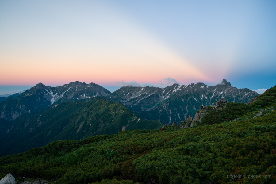
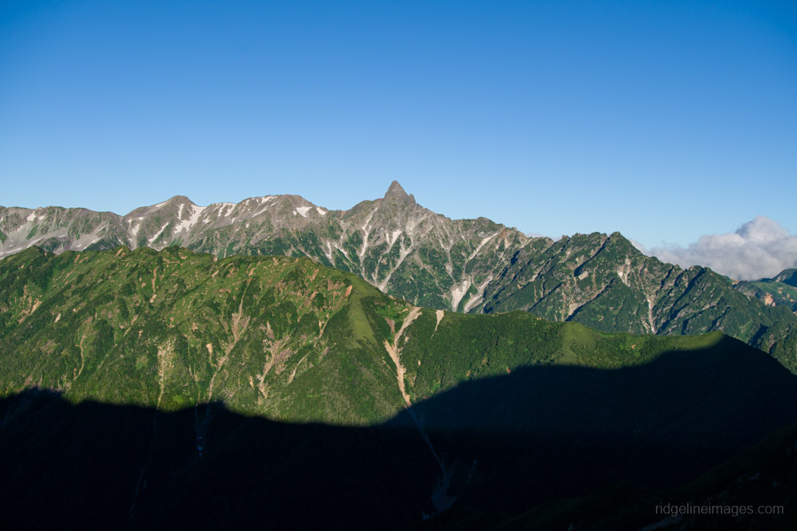
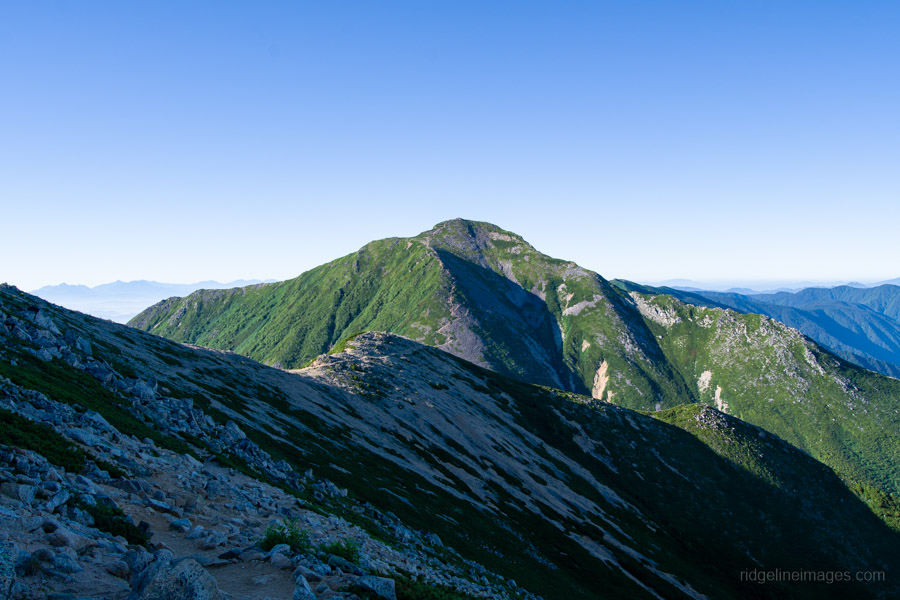
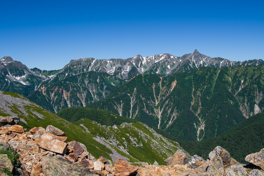
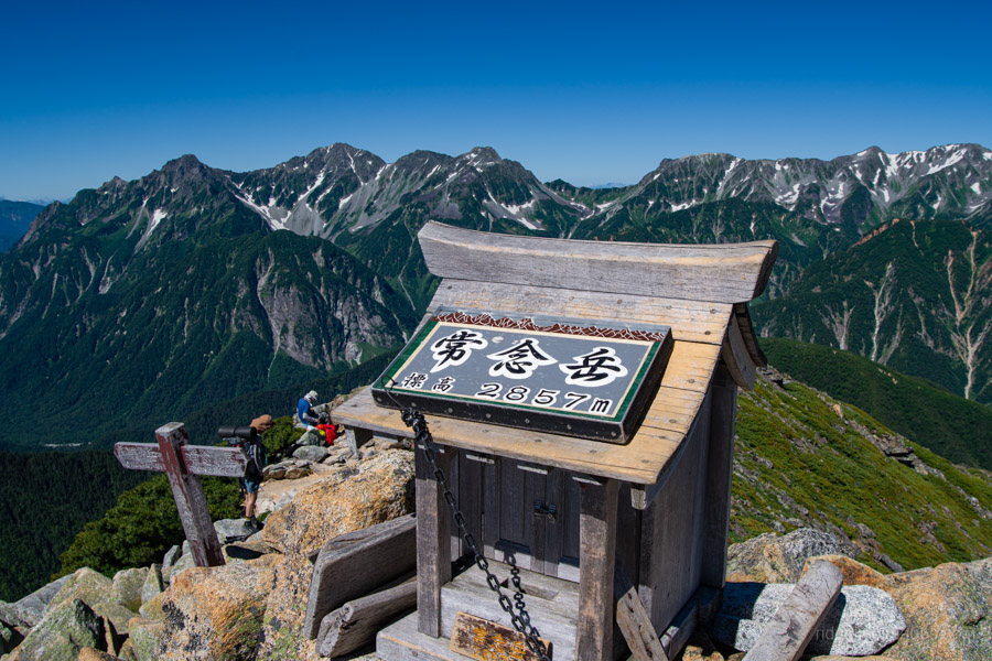
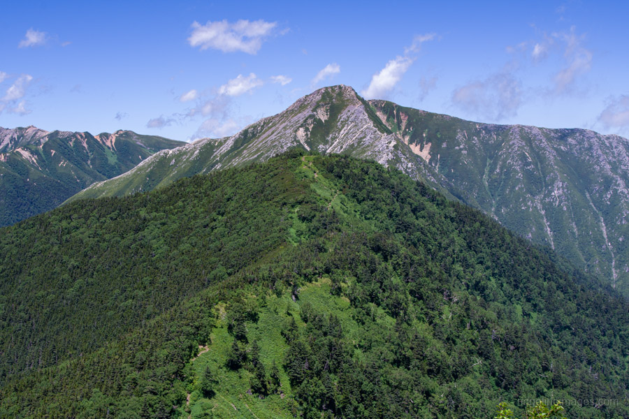
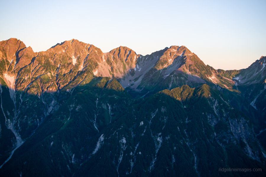
Despite its imposing appearance from afar, the summit of Mt. Jonen (2,857 m) is surprisingly compact, consisting of a narrow rocky crest. The reward is one of the finest panoramas of the entire traverse. Looking north, you can trace the entire ridgeline from Mt. Otensho, with Mt. Yarigatake and the Hotaka Range dominating the skyline. To the south lies Mt. Chogatake, your destination for the night.
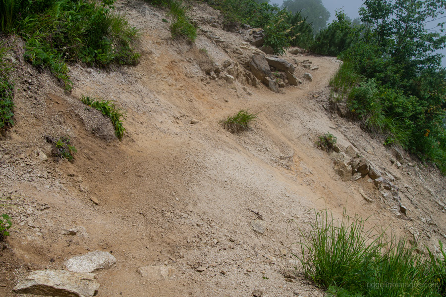
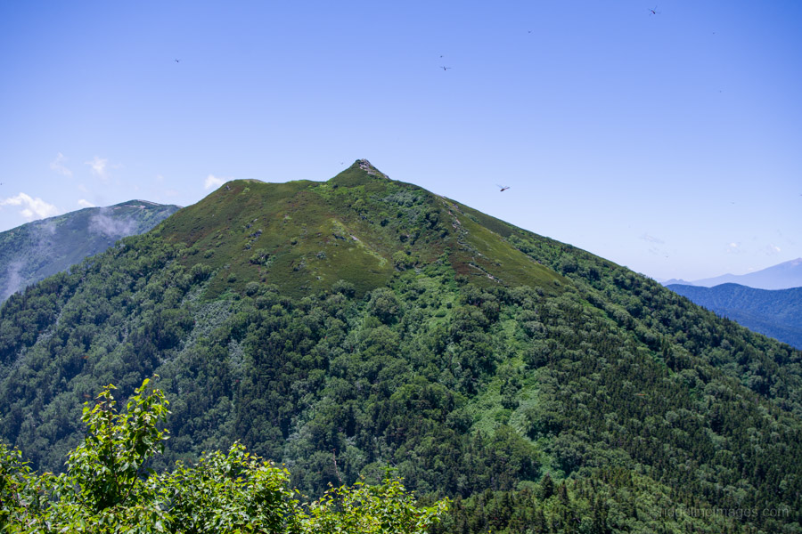
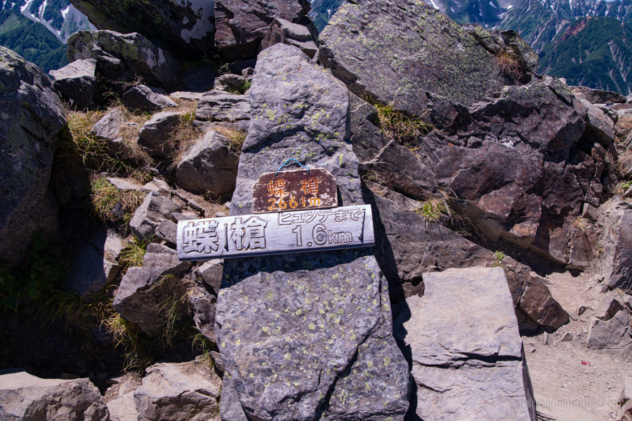
From Mt. Jonen, the trail loses considerable elevation. While there are no particularly dangerous sections, the loose gravel requires careful footing throughout. In the distance, the pointed summit of Choyari 蝶槍 (2,661 m) signals the day’s final climb. Before reaching it, however, the trail meanders through alternating rocky ridges and pockets of forest.
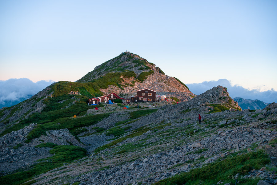
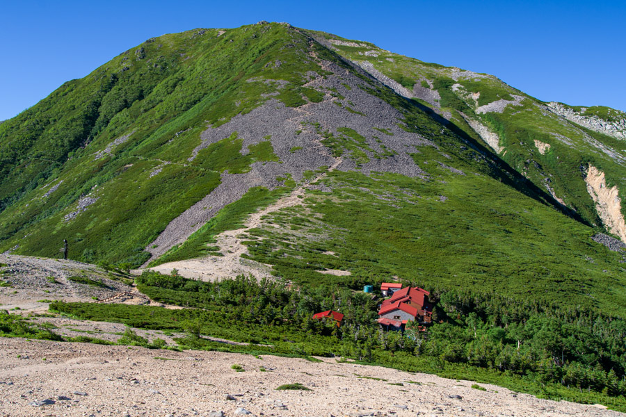
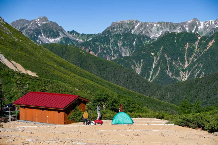
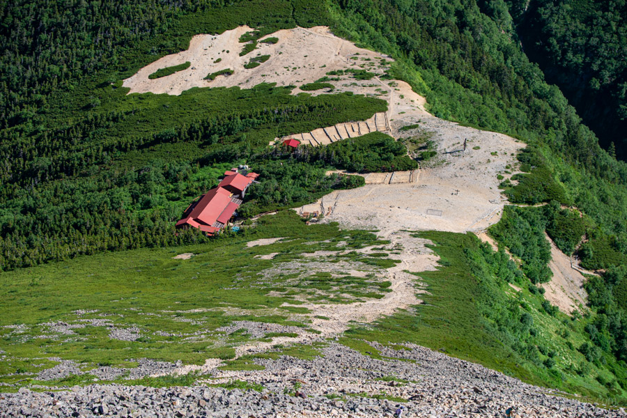
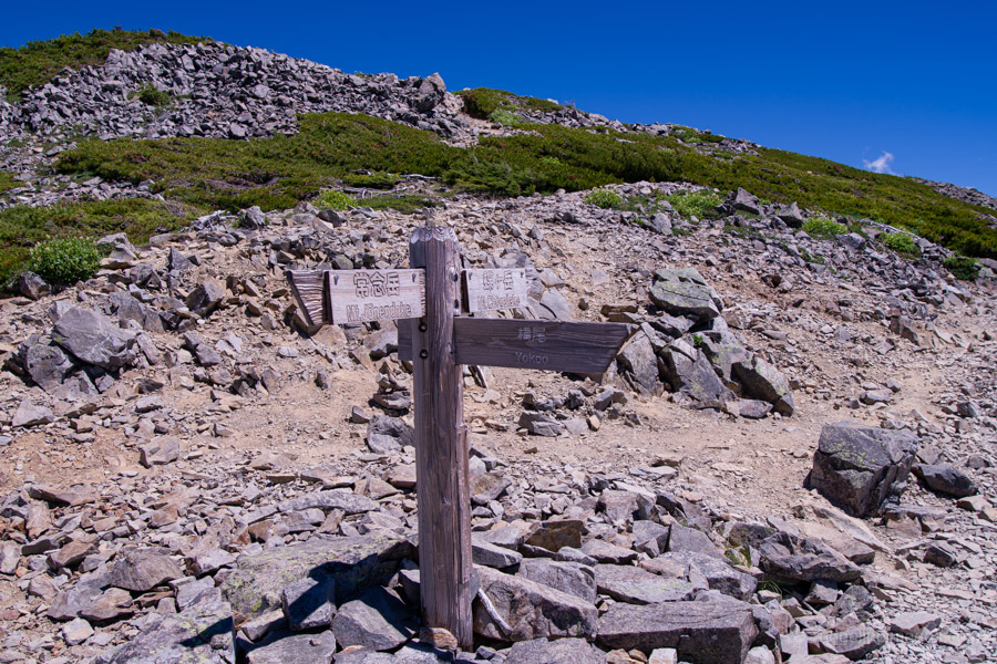
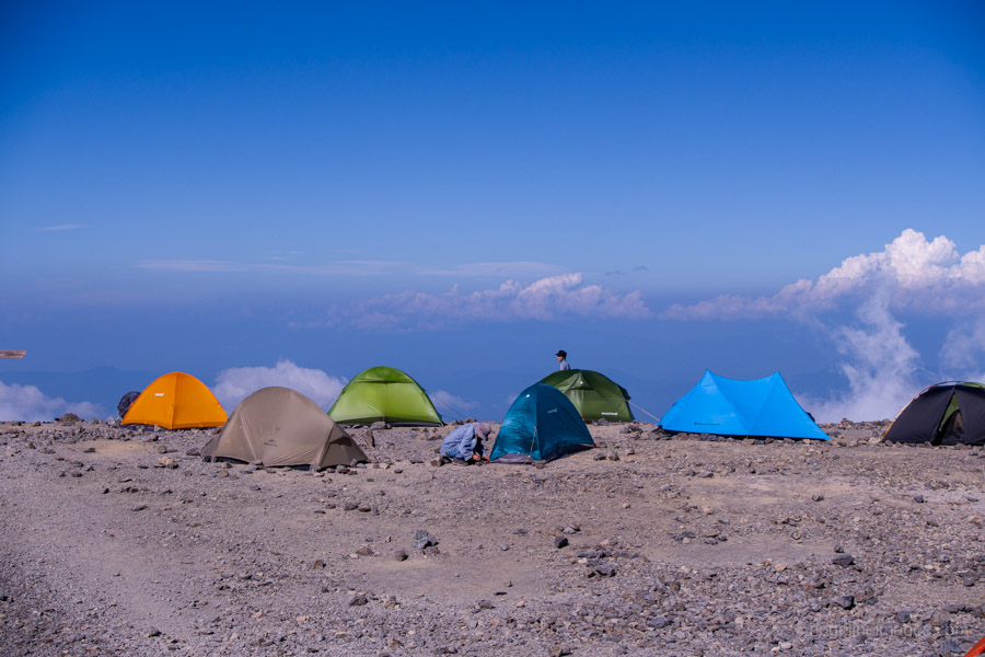
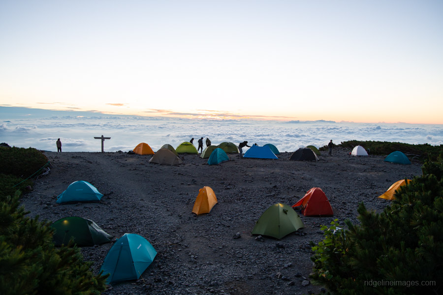
After passing a triangulation point and the junction leading down to Yokoo Sanso, the final stretch climbs gently towards Chogatake Hutte 蝶ヶ岳ヒュッテ. Owing to its relatively easy access from both Mitsumata and Kamikochi, this is one of the more popular campsites in the Northern Alps. Like Daitenso, the campsite is largely open and exposed, so tents should be pitched securely whenever strong winds are forecast.
Diary:
After what was certainly one of the windiest nights I’ve spent tucked away in a tent, conditions had thankfully eased somewhat by dawn. Even so, I dismantled the tent with one eye on the gusts, making sure nothing disappeared into the depths of the Azusa Valley never to be seen again.
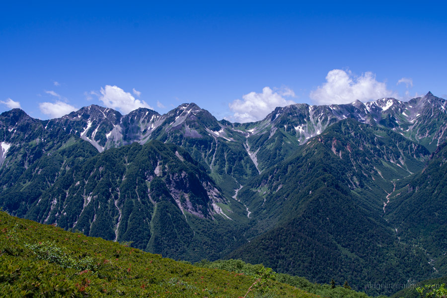
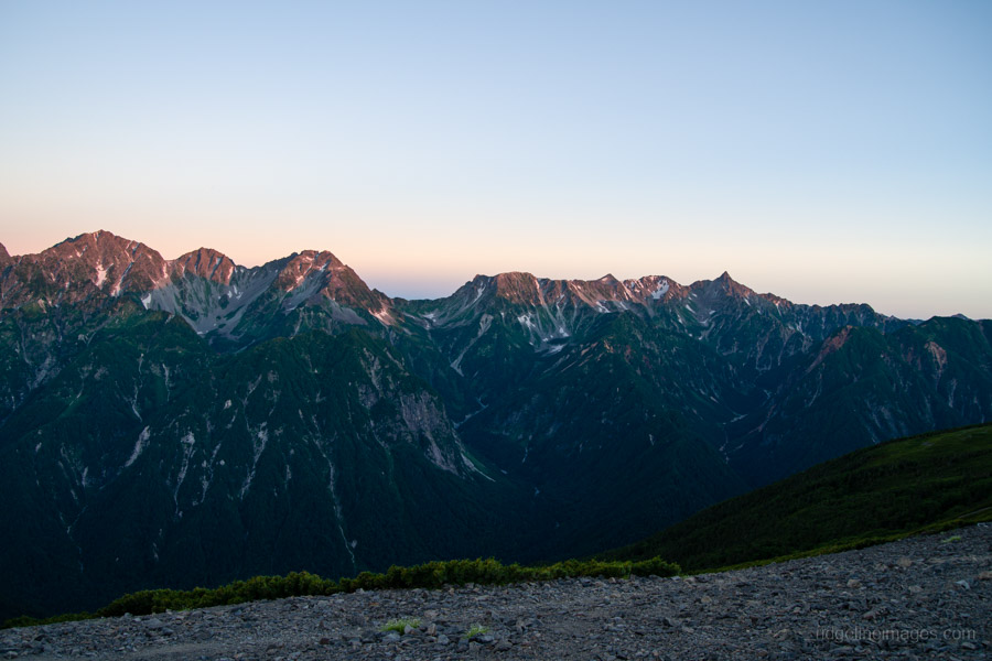
Leaving the campsite just after 4:30 am, the first morning light gently illuminated Mt. Yarigatake and the Hotaka Range, a good indication of what lay ahead – another warm day blessed with magnificent views.
As I packed up, I noticed plenty of hikers setting off along the Omote Ginza route and assumed there would also be a steady stream of people heading towards Mt. Jonen. Surprisingly, there was almost nobody. In fact, I didn’t see another hiker until nearly three hours later at Jonen-goya. My conclusion is that Japanese hikers tend to have very specific objectives. Those heading to Mt. Otensho are often continuing towards Mt. Yarigatake, while Mt. Jonen is more commonly climbed from the Mitsumata or Ichinosawa trailheads. That leaves only a relatively small number tackling the Panorama Ginza Traverse in this direction.
This also seems a good point to mention that, for me at least, Mt. Jonen and the other major summits are almost a sideshow on this hike. The real attraction is traversing the Jonen Mountain Range while gazing across the Azusa Valley to the magnificent skyline of the Hotaka Range. I sometimes think hikers become a little too caught up in ticking off the Hyakumeizan, treating Kyuya Fukada’s list almost as gospel, even though it overlooks some outstanding mountains, with Mt. Tsubakuro being a prime example. Some of the finest hiking in Japan is often found not on the famous summits but along the ridgelines that connect them.
Jonen-goya made an excellent place to rest, refill my water bottles, and prepare for the climb ahead. Not far above the hut I came across a family of raicho. I first heard the adult calling, which alerted me to their presence, before several chicks scurried across the trail right in front of me. Encounters like that are always a highlight of hiking in the Northern Alps.
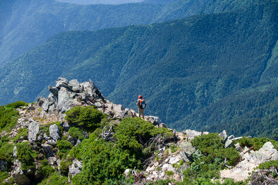
From a distance, the summit of Mt. Jonen looked surprisingly broad, but in reality it’s a compact rocky perch, every bit as rugged as Mt. Yarigatake. The descent on the opposite side proved considerably more demanding, with loose gravel making footing tricky and causing a couple of minor slips for both myself and a few other hikers descending at the same time.
Like the previous day, the heat became the real challenge. The first few hours, spent in the mountain’s shadow, were pleasant enough, but once beyond Jonen-goya the sun beat down relentlessly. Perhaps in another season, or even a few degrees cooler, the walk would have felt much easier. The dirty little secret of hiking in the Japanese Alps these days is just how brutally hot it can become, even above 2,500 metres.
After more than eight hours on the trail, I finally reached Chogatake Hutte. It was an excellent place to end the day, although I was once again confronted with the same dilemma as the previous campsite – plenty of spectacular views, but precious little shelter from either the sun or the wind.
.
.
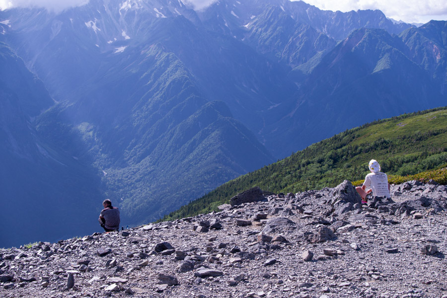
Day 3: Chogatake 蝶ヶ岳 to Kamikochi 上高地
5hr 12 km 58 m 1149 m Jul 24, 2026
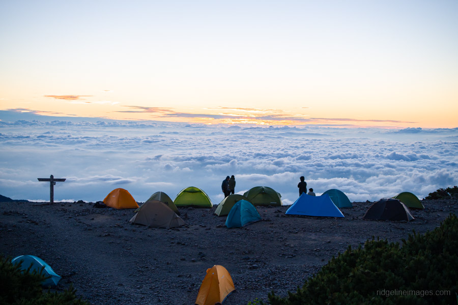
Route:
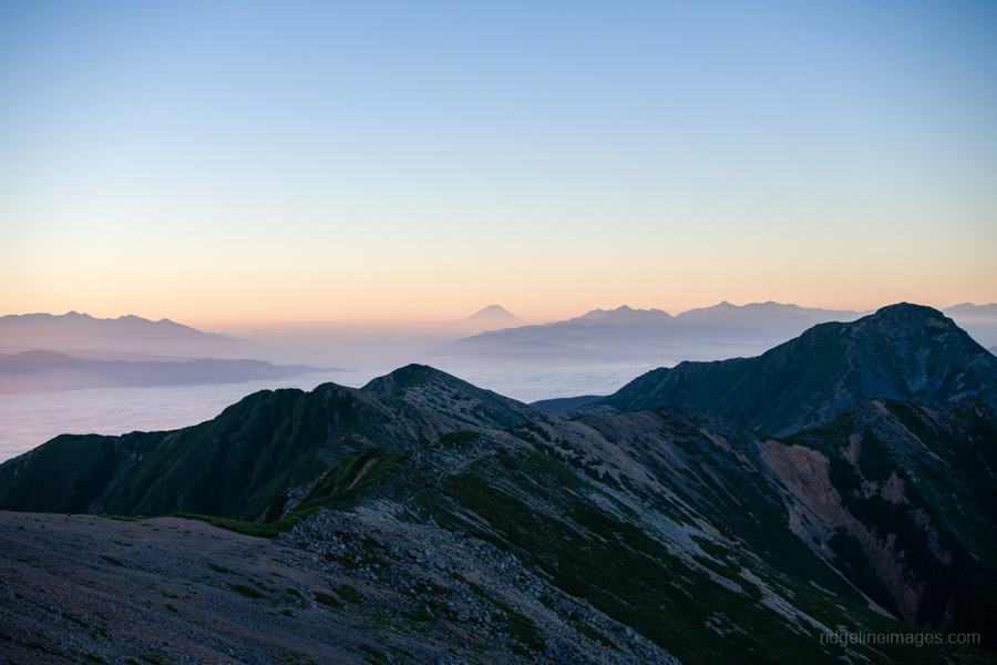
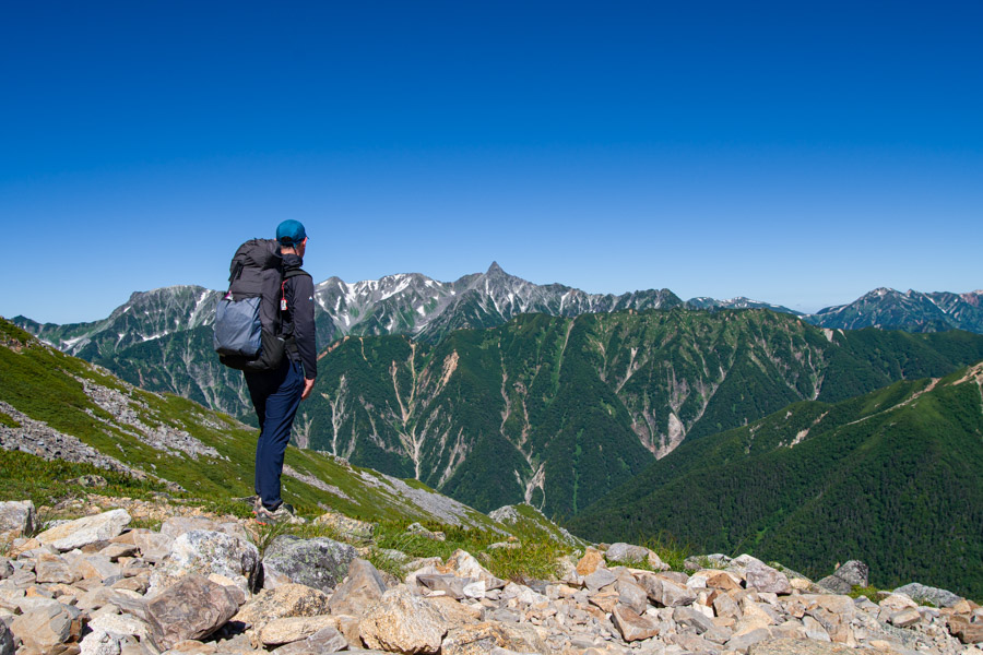
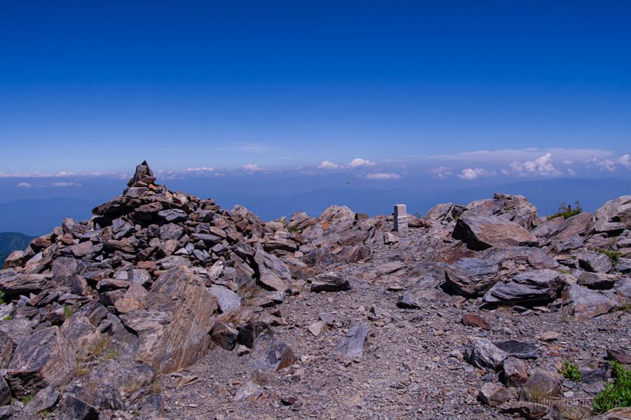
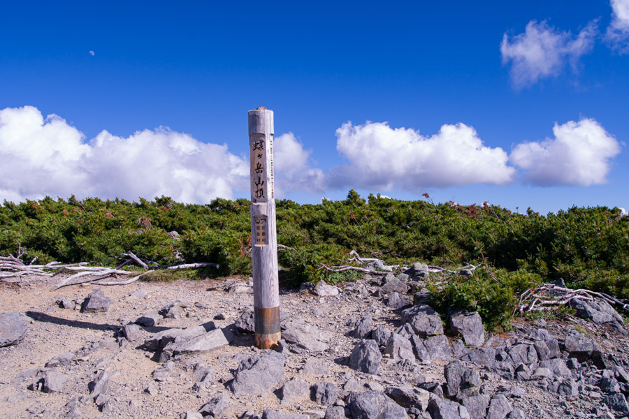
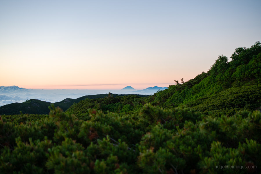
The final day is all about the descent to Kamikochi. If you didn’t make the short walk up to Mt. Chogatake 蝶ヶ岳 (2,677 m) the previous afternoon, it’s well worth visiting the broad summit before setting off. It’s only about a five-minute walk from the campsite and, in fine weather, offers a fine panorama, stretching from the Hotaka Range to Mt. Fuji. While Chogatake isn’t one of the Hyakumeizan, it boasts one of the best viewpoints relatively close to Kamikochi.
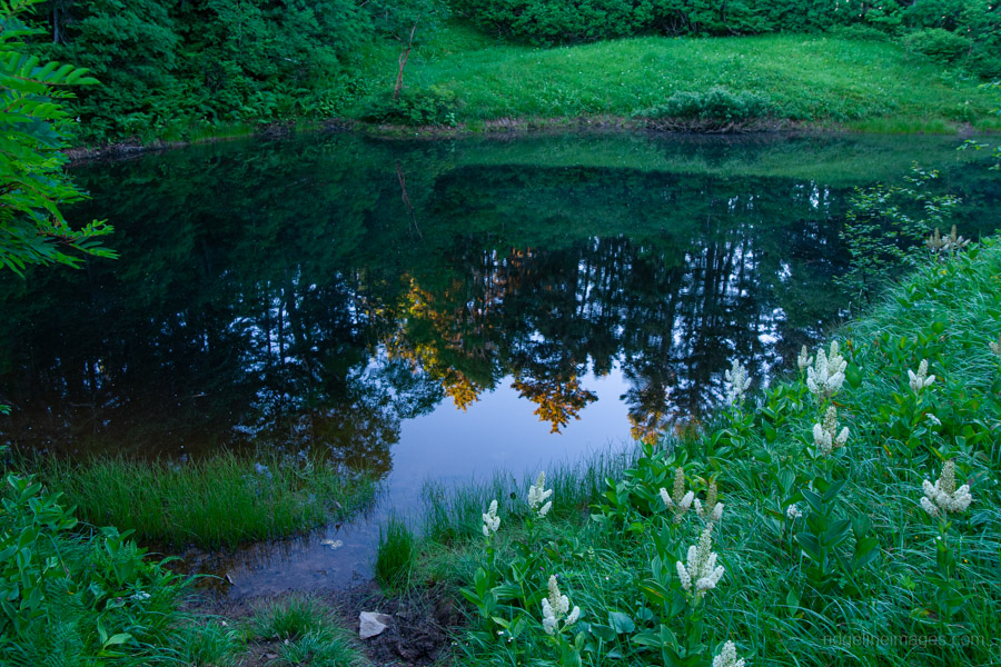
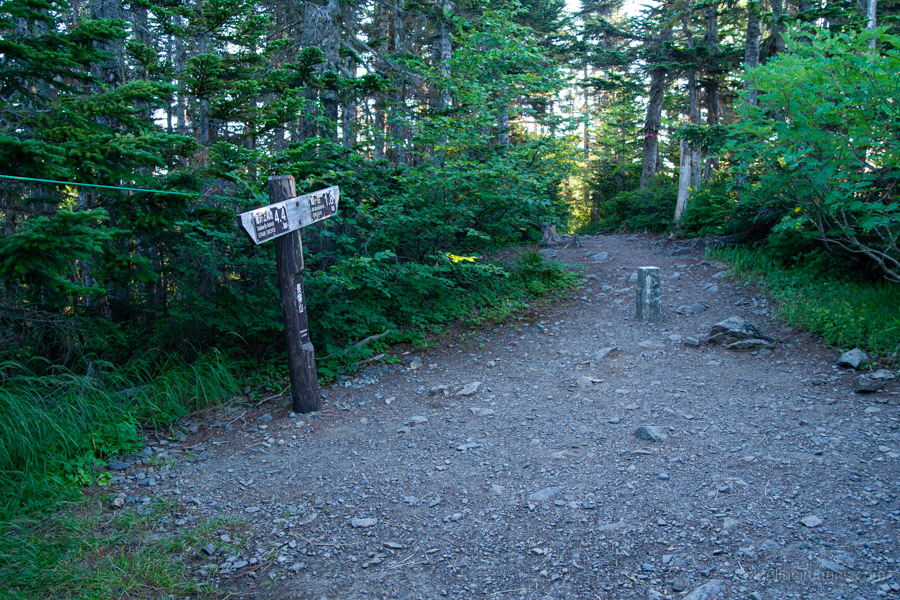
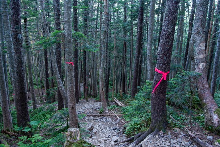
From the summit, the trail follows the Nagakabe Ridge 長塀尾根, which is covered almost entirely in forest. Shortly after beginning the descent, you’ll pass Yosei-no-ike 妖精の池 (Fairy Pond), a picturesque pond encircled with colourful alpine flowers. Beyond here, the trail enters dense coniferous forest, with no further views for the remainder of the descent.
Although the route is almost entirely downhill, there is one short climb before reaching the triangulation point at Mt. Nagakabeyama 長塀山, which feels more like a point along the ridgeline than a mountain in its own right. The Nagakabe Ridge is generally gentle and easy to walk, although that also means covering a considerable distance. If hiking the route in the opposite direction, the steepest climbing comes at the beginning through a forest of kuma-sasa bamboo, before the gradient gradually eases higher up.
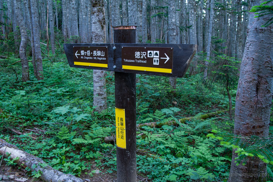
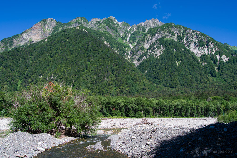
Allow around three hours to reach Tokusawa Lodge 徳沢ロッヂ, famous for its expansive, lush green campground. From there, it’s a leisurely 7 km walk along the valley floor back to the Kamikochi Bus Terminal 上高地バスターミナル via Myojinkan 明神館 and Konashidaira Campsite 小梨平キャンプ場, with beautiful views accompanying you most of the way.
It’s recommended to book your return bus and train tickets in advance, particularly on weekends. If you’re looking to finish the traverse with a relaxing soak, Kamikochi Onsen Hotel offers day-use bathing. Day visitors are admitted during two sessions: 7:00 am to 9:30 am and 12:00 pm to 3:30 pm (1,000 yen).
Diary:
Compared to the previous evening, Chogatake Hutte’s campsite was remarkably calm, making packing up far less of an ordeal. With everything stowed away by 4:40 am, I wandered up to the summit of Mt. Chogatake, where a small group of hikers waited patiently for sunrise. Personally, I’ve always found the best light comes in the moments just before the sun breaks the horizon, and this morning was no exception. As a bonus, Mt. Fuji was clearly visible in the distance. Like the previous three days, the weather looked set to be sunny and crystal clear.
Slipping quietly away from the summit crowd, I began the long descent to Kamikochi. For the most part I had the trail to myself, only crossing paths with a handful of early risers making their way up from the valley. With this being the final day, I was happy to take things at a more relaxed pace, stopping frequently to photograph scenic spots along the way, particularly Yosei-no-ike. There were a couple of other ponds further down the ridge as well, although none quite matched its charm.
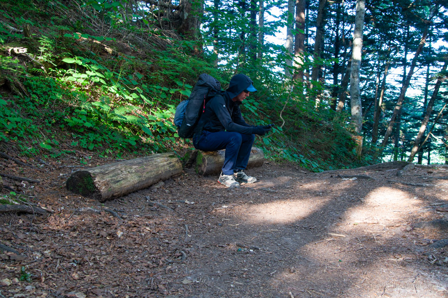
The descent is broken up by several small clearings that make ideal places to drop your pack and take a breather. At one such stop, an abu (horsefly) became absolutely determined to drive its proboscis through my Montbell hoodie. Despite my best efforts to wave it away, persistence eventually won. After three days on the trail without so much as a wash, I suppose I wasn’t exactly difficult to sniff out.
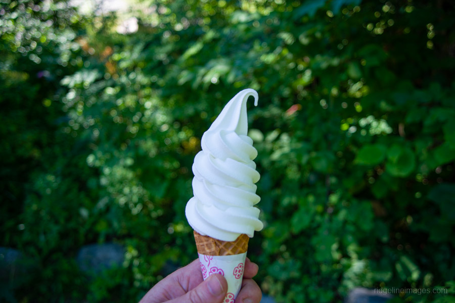
It’s always a satisfying feeling arriving back at the opposite trailhead in one piece. My first stop was Tokusawa Lodge, where I treated myself to one of their specialities – a soft-serve ice cream, or sofuto kurimu in the local vernacular. It was just the sugar hit I needed before hot-footing it back to the ever-busy Kamikochi Bus Terminal, bustling with casual sightseers, enthusiastic hikers setting out, and tired, bathed in sweat ones like me bringing another memorable traverse to a close.
Thanks for reading!
Thanks for this great write-up: one day I hope to follow in your footsteps. The route has considerable historical significance. Starting at Nakabusa, Kojima Usui traversed Otensho and Jonen in the first summer season of the new Japanese Alpine Club in 1906 – at that time, they weren’t even sure if Otensho really existed. And then in 1914, Mr and Mrs Weston followed the same route – though I’m not sure whether they descended to Kamikochi or down into the Fossa Magna valley….
Thanks for reading, PH; that’s really interesting to hear. I’d imagine before Kisaku Kobayashi helped establish what has now become the standard route over Otensho and Jonen, it must have been one hell of a trek. I often find myself thinking, kudos to those who paved the way, as the vegetation would have been almost impenetrable in places. As for the Panorama Ginza, I can’t recommend it highly enough. If you time it right with the weather, the views really are spellbinding.
Hey David, I might just go do this this weekend. Do you think ill be fine sleeping with just my m-b down blanket?
Hey John, it depends a lot on which model and its comfort rating, so it’s worth checking those against the numbers on the product page. As a general guide, though, the high camps at Daitenso and Chogatake are exposed and noticeably windier. A down blanket/quilt also isn’t fully enclosed like a sleeping bag, so a decent pad underneath and protection from drafts are important. I’d check the forecast closely and make sure you have a decent margin on the rating.