.
Nanahaneyama 七跳山 – Hinatadani-no-atama 日向谷ノ頭 – Toridaniyama Refuge Hut 酉谷山避難小屋
Distance: 30.4 km
Elevation change: 1098 metres
Highest point: 1718 metres
Start: Higashi Nippara Bus Stop
Finish: Higashi Nippara Bus Stop
Difficulty: ▅▅▅▅▅▅▅▅▅▅ ❹
Map: Yama to Kogen Chizu 山と高原地図 [No.25 奥多摩 OKUTAMA]
GPX TrackKML TrackGSI MAPPDF Topo Map
A Long Trek out to Tokyo’s Northernmost Mountain
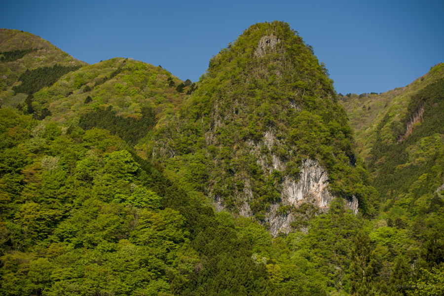
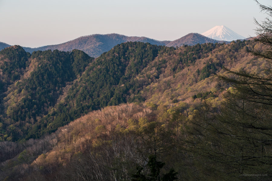
Mt. Toridani is one of several relatively high mountains including Mt. Tenmoku that fall along the Nagasawa Ridgeline 長沢背稜 that forms part of the boundary between Tokyo and Saitama prefectures. It’s Tokyo’s northernmost mountain, located at the far end of the Nippara watershed in the deepest recesses of Okutama. On the Saitama Prefecture side, it’s known as Kurodokke 黒ドッケ. The summit, nestled in a wooded area, is a quiet spot rarely visited and as such makes a perfect retreat during otherwise busy weekends. There are numerous approaches to the summit from both prefectures however they are all challenging and long (25 km plus) necessitating 9-11 hours. For very fit and fast hikers a day outing may be possible, though it’s recommended to break up the hike and spend a night at the quaint Toridaniyama Refuge Hut as was done on this out and back piston.
Day 1: A Rendezvous with Toridaniyama (16 km)
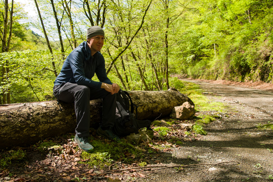
Access to the start of the hike calls for a bus from Okutama Station bound for Nippara Shonyudo 日原鍾乳洞 (weekdays only). On weekends and holidays the bus terminates at Higashi Nippara 東日原 (27 mins, 480 yen) adding an extra 30 minutes of road side walking. From the bus stop nearly everyone heads up the Yokosuzu Ridge ヨコスズ尾根 which passes by the Ippaimizu Refuge Hut 一杯水避難小屋. The summit can also be tackled via the Tensosan Ridge 天祖山尾根, Tawa Ridge タワ尾根, and as was done on the hike the Ogawadani Rindo 小川谷林道. I chose this route as by map time it’s marginally the shortest. Plus, I descended via the Yokosuzu Ridge on the Mt. Tenmoku hike and like trying out different trails.
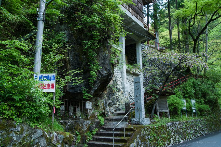
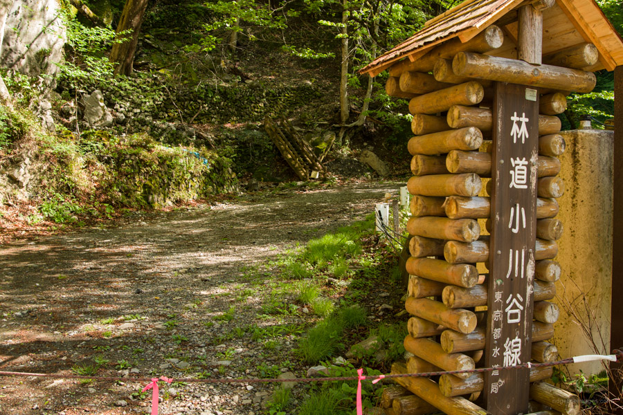
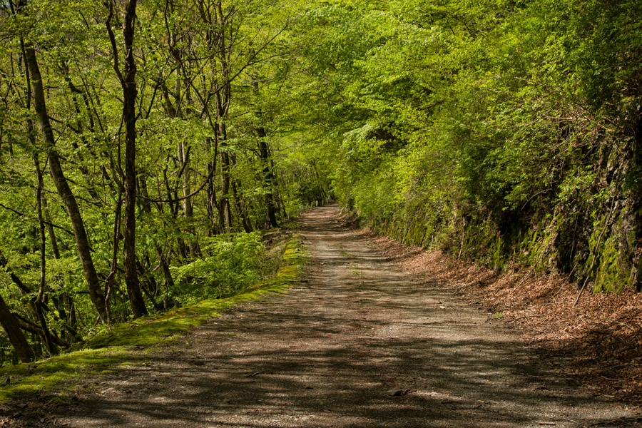
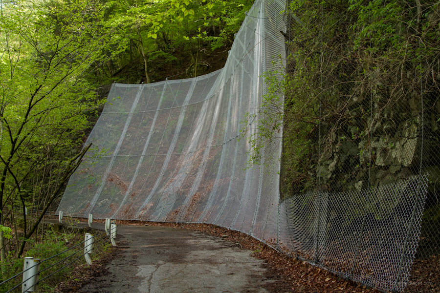
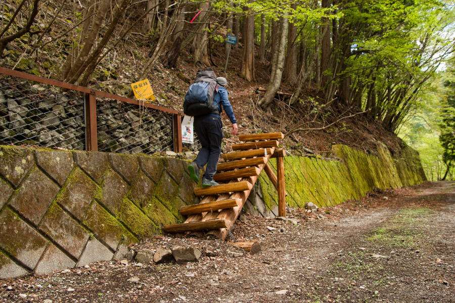
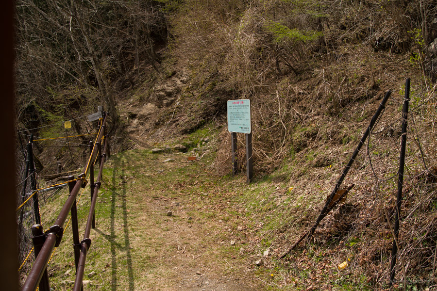
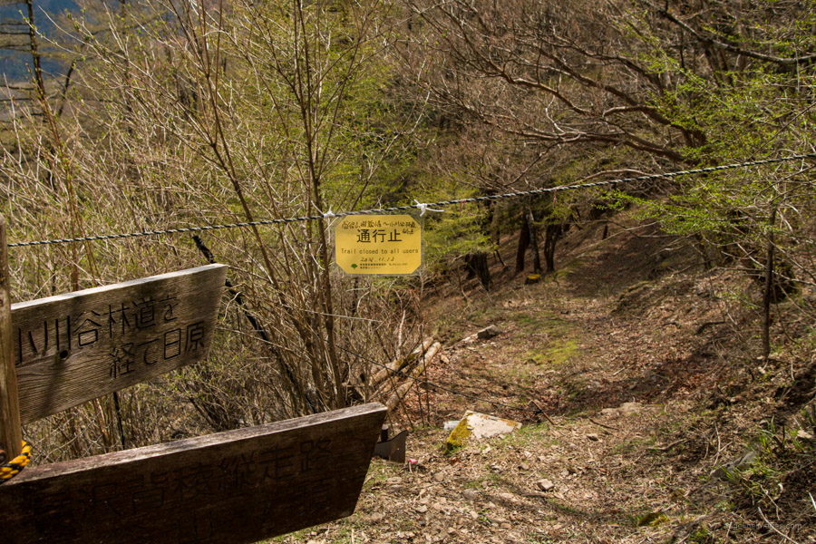
From the bus stop head straight, turn right at the T-intersection past the Nippara Limestone Cave and under the newly constructed road tunnel. Just after here finds the roped off entrance to the Ogawadani Rindo. The forestry road has been closed to traffic since December 2012 due to rockfall caused by the Great East Japan Earthquake. I can’t help but say, not having to contend with off-road vehicles is a blessing. As for whether pedestrians can pass, I didn’t read about any explicit directives and remains a grey area. A sign on the locked gate only mentions about motorised vehicles and mountain bikes though over the two days coming and going along the road I saw several hikers and people fly fishing along the banks of the Ogawadani River. A different sign mentions the route from the end of the Ogawadani Rindo to the Toridaniyama Refuge Hut is permanently closed.
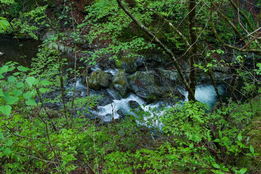
If you picture walking along a forestry road as somewhat monotonous this one is sure to sway your opinion. For the bulk of the near on 7 km to the trailhead the gravel tarmac grips the picturesque Ogawadani River 大川谷 amongst lush spring undergrowth. The area around Ogawadani is also one of the best spots for autumn leaves in the Okutama area. This forestry road like many around Okutama was constructed in the halcyon days of the 1960s due to insatiable demand for timber during Japan’s postwar reconstruction. A plaque on the Karou Bridge かろう橋 reveals Showa 36 (1961). During this time buna (beech wood) forests were clear-cut with impunity and replanted with fast-growing conifers like Japanese cedar and cypress.
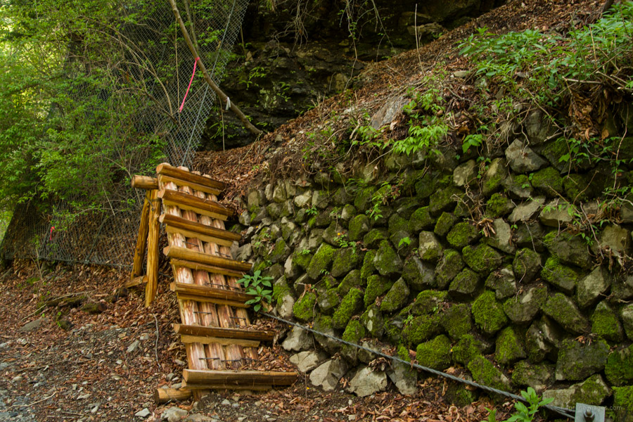
Along the road note some wooden stairs to your right that lead to the Oguri Ridge 大栗尾根. There are also major river restoration works in progress to suppress the movement of earth and sand down the valley. Various tributaries flow into the main river though there is only one spot where it’s possible to access the bank to collect water if needed. In any case from the bus stop to the terminus of the forestry road you gleefully gain 450 metres in elevation.
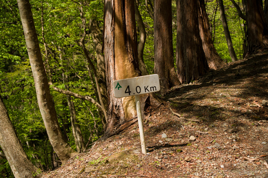
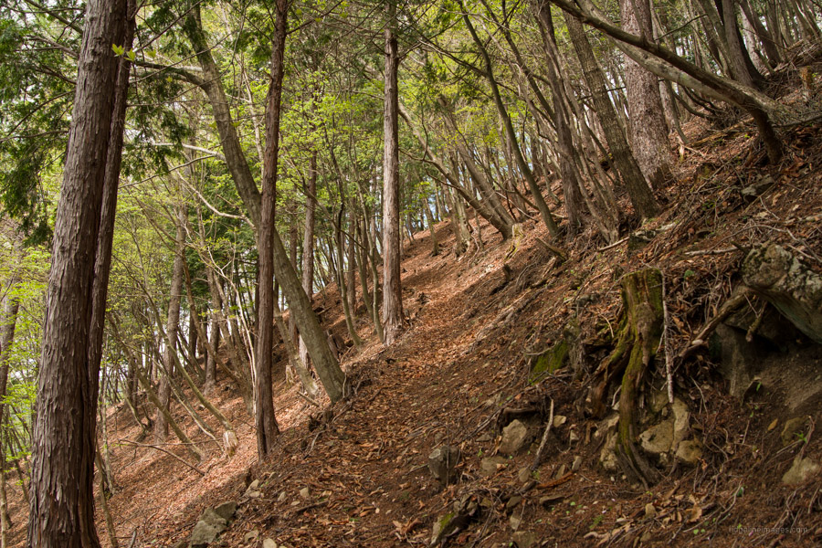
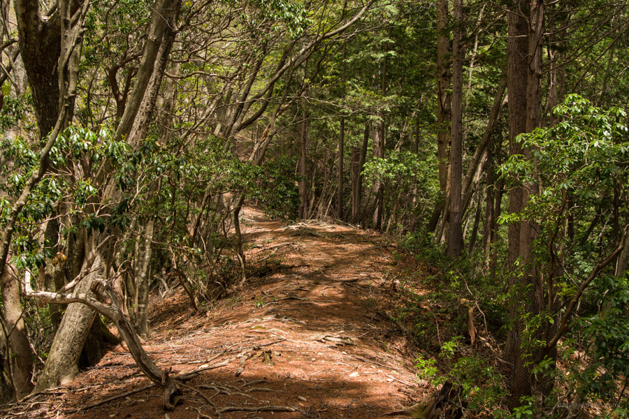
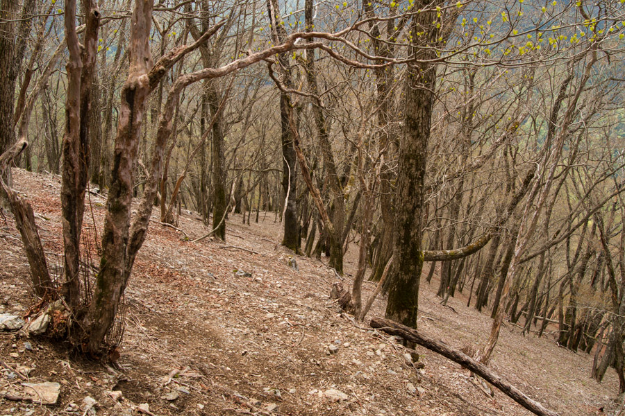
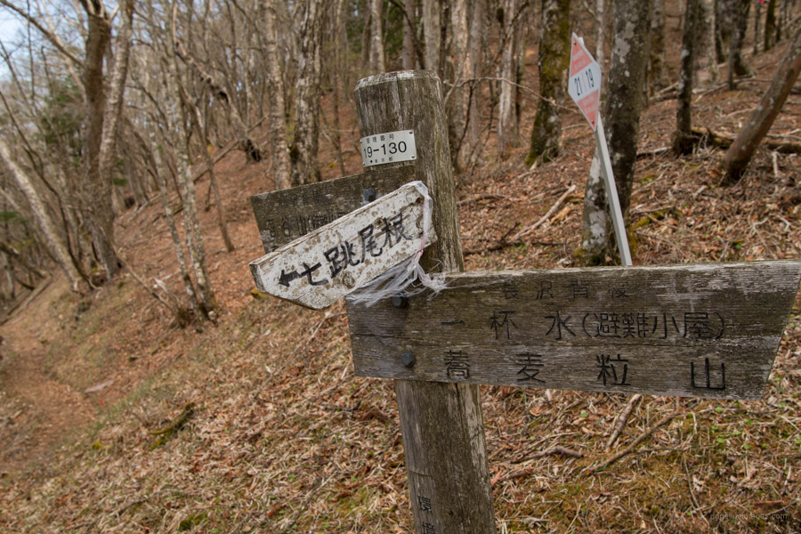
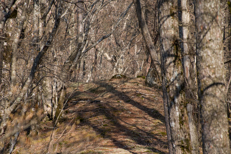
In days past from the terminus of the Ogawadani Rindo a mountain trail snaked its way up to the Toridaniyama Refuge Hut but has since fallen into ruin. This article provides an account from former times. The trailhead proper is a few minutes’ walk up the Inumugi Rindo 犬麦林道 another forestry road that continues from the one you have been walking. The wooden stairs here lead up to the Nanahane Ridge 七跳尾根. Note the trail isn’t signposted nor is at any point, hence a proper topo map and GPS are essential. The ridge is roughly divided into lower switchbacks that pass-through plantation forest followed by a narrow flat ridge through a corridor of Japanese andromeda and upper switchbacks with mixed forest.
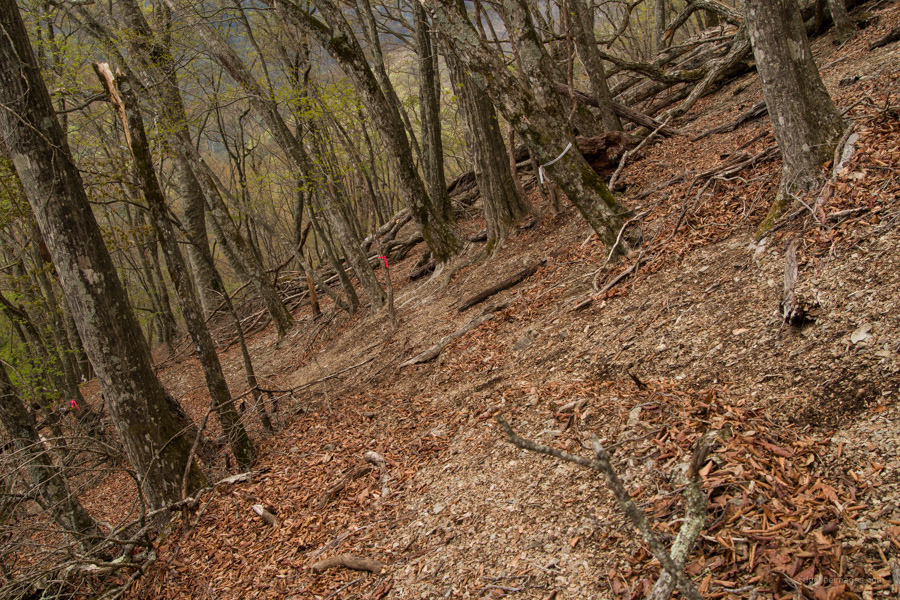
The lower switchbacks are well maintained and easy to follow which can’t be said for the doglegs in the upper portion which feel steeper, can be difficult to make out, and at times covered in dry fallen leaves making it slightly hazardous. Thankfully the route is decked out in pink tape courtesy of the forestry workers complete with notations such as shishoki 支障木 (tree hazard!). At the top of the Nanahane Ridge a rope is stretched across the trail presumably to shepherd away unsuspecting hikers. Going up and down the ridge I didn’t come across anyone. Less experienced hikers would be much better served by using the more popular Yokosuzu Ridge even though it has some exposure.
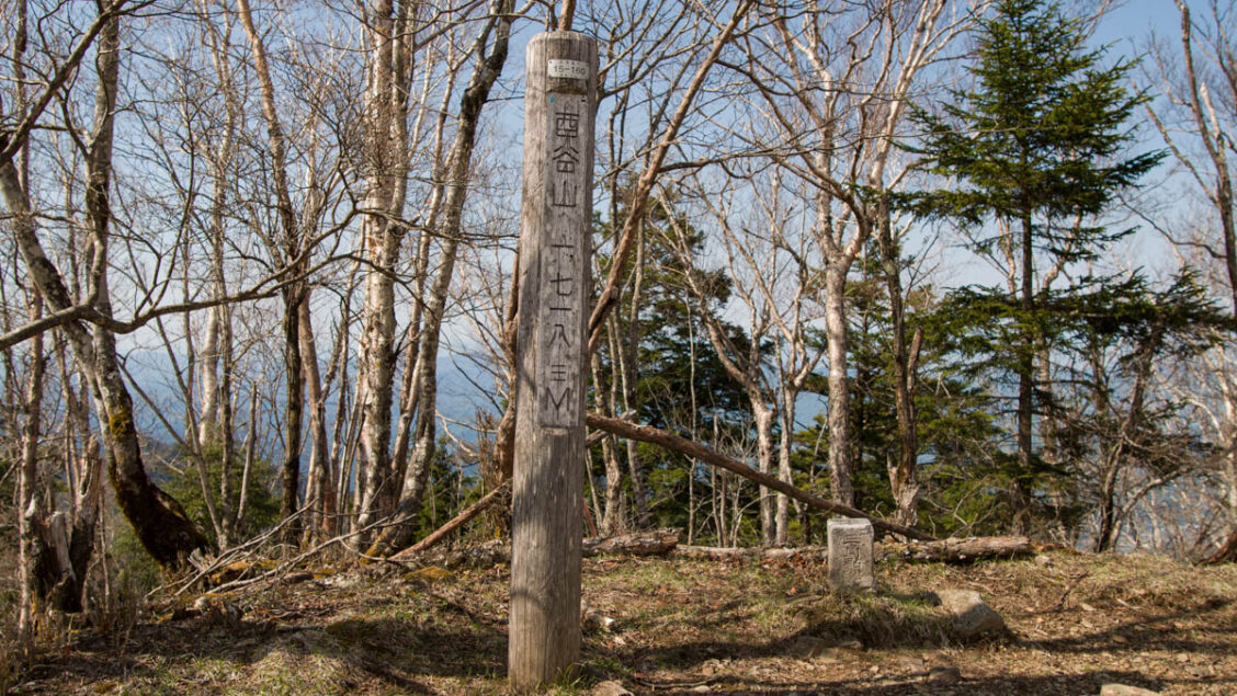
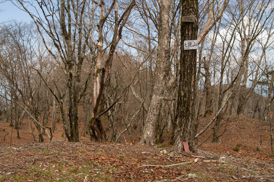
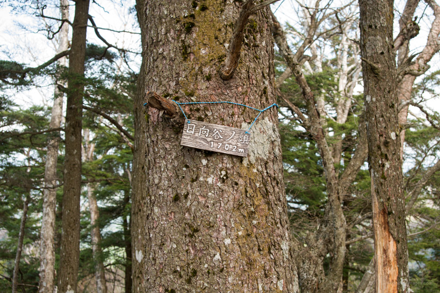
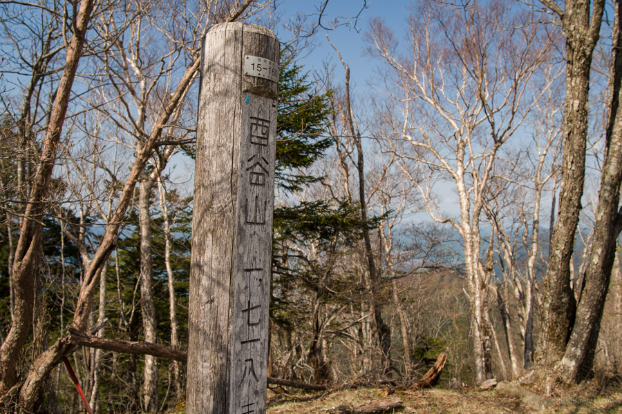
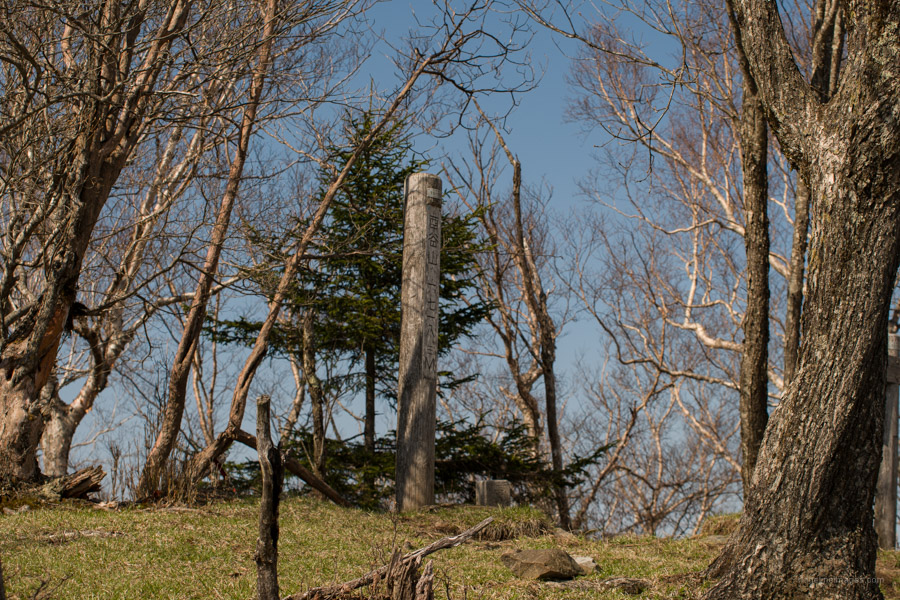
A 10-minute detour north from the Nanahaneyama trail branch 七跳分岐 brings you to Mt. Nanahaneyama 七跳山 (1,651 m). The summit makes a good spot to have a well-deserved break. When you’re ready to head off return to the trail branch and begin heading towards Toridani Pass 酉谷峠. The trail cuts in slightly below the Nagasawa Ridgeline. After 30 minutes you’ll arrive at a trail that I would describe as sketchy. I don’t mind some exposure but there is one area in particular that is verging on dangerous along with a half rotted wooden walkway. Avoid risking life and limb, stick on the ridgeline and travel via Hinatadani-no-atama 日向谷ノ頭 (1,702 m).
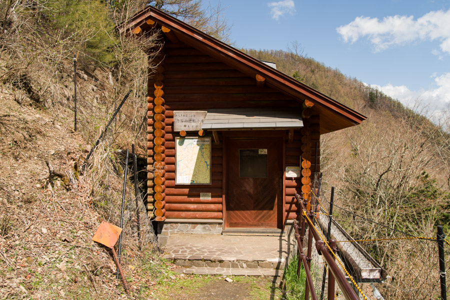
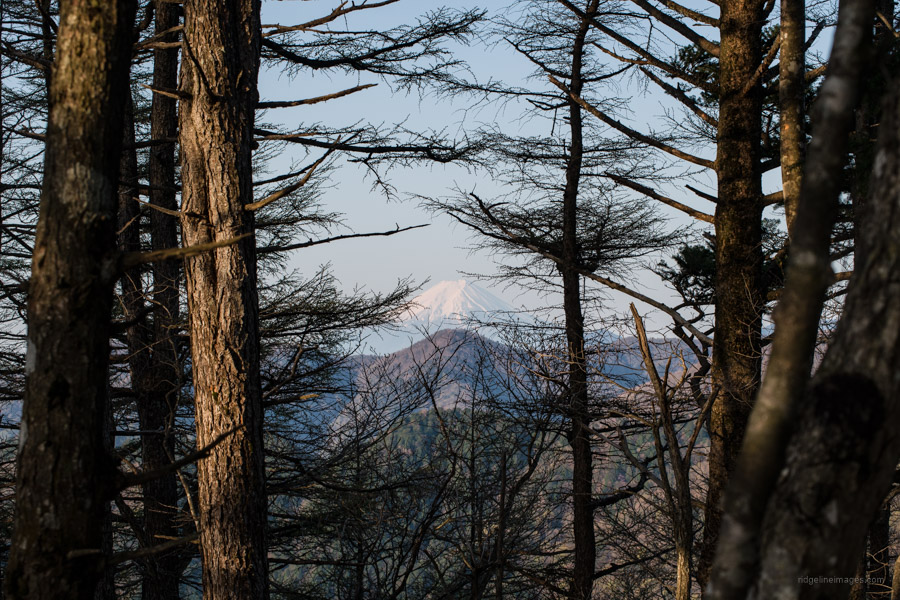
It had taken longer than expected to arrive at Toridani Pass near on 5 hours from the bus stop. I dropped down from the pass to check out the Toridaniyama Refuge Hut 酉谷山避難小屋. The modest yet well maintain hut can accommodate 7 people in a pinch though it’s recommended to bring a tent as its popular owing to its size and unique position. The hut is managed by a contractor in Okutama, under the auspices of Tokyo Metropolitan Government, to carry out maintenance and cleaning about once a month. When I arrived, there was already two guys inside and one tent parked in the small area out the front. Importantly there is a reliable water source and toilet on the opposing side of the hut. Before heading there refer to this bulletin board dedicated to the hut which provides regular updates on the water situation.
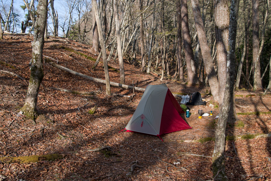
At the hut I left my pack and began the final mission of the day a rendezvous with Toridaniyama 酉谷山 (1,718 m). From the hut it’s a 25-minute round trip. The view to the south is unobstructed though mixed species on the mountaintop get in the way of the north facing direction. It’s truly a charming locale to kick back and enjoy stillness deep in the mountains. After returning to the refuge hut, I made haste and set up my tent in a sheltered area that would provide some protection from the wind if needed. Not long after another hiker followed suit nearby.
Day 2: Out and Back Piston in Glorious Spring Weather (14.4 km)
There was a touch of wind the previous evening but soon passed and managed a good night’s sleep. Amazingly I also experienced my first earthquake laying in a tent! After rousing at sunrise, devouring breakfast I preceded to the hut to refill my water bottles and catch sight of Fujisan. Another reason this hut is so good is it gets an awesome panorama of the big fella. To get back to the Higashi Nippara Bus Stop I gave myself five hours which was plenty. The map time allocates one hour for the descent down the Nanahane Ridge – it ended up being closer to 90 minutes pretty much the same as it took ascending. In hindsight it might have been better to returned to Ippaimizu and gone down the Yokosuzu Ridge. All in all, it was a very satisfying hike, exceeded my expectations and made all the better thanks to superb Golden Week weather.


We just missed each other! I stayed at that hut last night and am walking through Nippara now. Small world.
Indeed, it is. Just think about it, over the two days I knocked into less than ten people and you Pat could have been one of them! Look forward to hearing which approach you took and how you got on.
I hiked up that ridge in the winter and it was glorious. The hut was nice and no one was there but I opted to hang out in the snow. Went back to the hut the next day and ate breakfast at a leisurely pace. I took my morning constitution with the door open and was treated with a marvelous view of Fuji.
Well played 😊 Nice to know the hut is there if needed, but always more enjoyable sleeping out in the woods.