
.
Shiomi Suspension bridge 塩見橋 – Water Source Entrance 水場入口 – Mt. Sasayama south peak 笹山 南峰
Distance: 14.7 km
Elevation change: 1903 metres
Highest point: 2733 metres
Start: Narada Onsen Bus Stop
Finish: Narada Onsen Bus Stop
Difficulty: ▅▅▅▅▅▅▅▅▅▅ ❺
Map: Yama to Kogen Chizu 山と高原地図 [No.44 北岳・甲斐駒 KITA-DAKE·KAIKOMA]
GPX TrackKML TrackGSI MAPPDF Topo Map
Hiking the Direct Ridge to Mt. Sasayama
Located along the lesser-travelled Shirane Nanrei ridge, which extends all the way south to Mt. Kitadake in the Shirane Sanzan mountain range, are the twin peaks of Mt. Sasayama. And let’s not mince words: Sasayama, which also goes by Kurogouchidake 黒河内岳, is a beast. It is also difficult to access, requiring either a long traverse from Kitadake, up via Daimonzawa, or, as on this occasion, a direct ascent from Narada Lake involving a staggering 1,900 metres of relentless elevation gain. While still a remote mountain with few people around, in recent years increased foot traffic has left the direct ridge from Narada better trodden and flagged with tape, making it a more approachable route.
That said, it is known as one of the ‘Four Heavenly Kings’ 四天王 of the 100 Famous Yamanashi Mountains, a common name for the four most challenging mountains on the list: Zarugatake, Tosakayama, Sasayama, and Nokogiridake. There are no particularly technically difficult sections on the direct ridge, but it is a mountain where physical endurance is the name of the game. While a massive day hike is possible, the best way to appreciate this mountain is by spending a night on the summit, giving you the best chance to witness a spectacular sunrise.
Day 1: The Relentless Ascent to Sasayama (7.1 km)
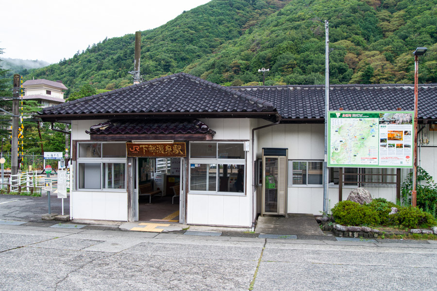
Getting to the trailhead entails taking either local trains or the Limited Express Azusa to Kofu Station, then transferring to the Minobu Line for Shimobe-Onsen Station 下部温泉駅. Since the Minobu Line does not accept IC cards, you’ll need to exit the ticket gates, buy a ticket, and then re-enter. Alternatively, you can pay on the train after taking a number ticket (seiriken).
For those relying on public transport to undertake this hike, there are some time constraints to be aware of. First, while there are 4 daily buses to Narada Onsen 奈良田温泉, you really need to catch the first morning departure at 7:26 am, either to beat the summer heat or to make the most of the shorter daylight hours at other times of the year. Since it’s impossible to make this bus even on the first local train out of Tokyo, one option is to stay the evening before. I stayed at the Shimobe Onsen, a 20-minute walk from the station, which cost a reasonable 7,500 yen without meals.
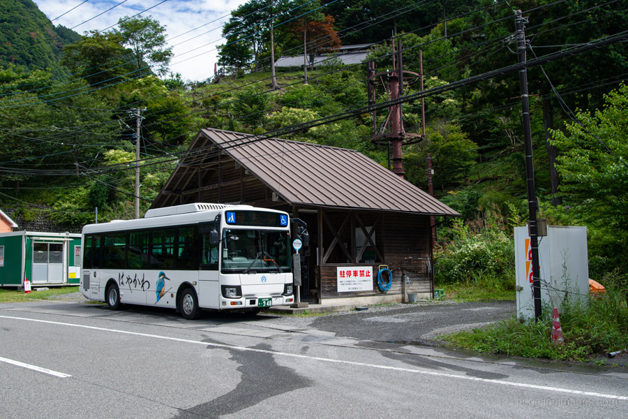
The bus from Shimobe-Onsen Station to Narada Onsen takes 1 hour and 10 minutes and costs 1,000 yen, including the 200 yen baggage surcharge. Cash only. A taxi from the same spot would set you back 14,500 yen!
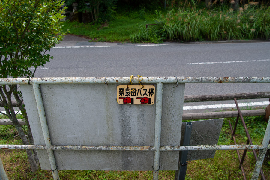
After making my way down to the station from the hotel, I found only two other people waiting for the bus. Compared to somewhere like Hirogawara, Narada sees far fewer hikers. For this hike, you need to carry all your water from the outset. While there is a vending machine at the bus stop, there isn’t a water source to fill up from at the trailhead. I carried 6 litres of water, plus an extra 500 ml bottle for added peace of mind.
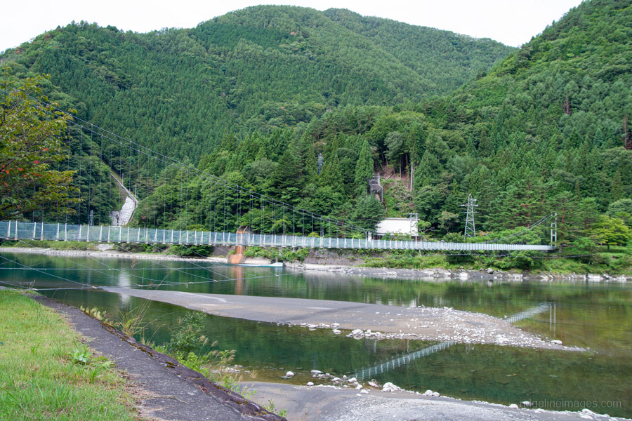
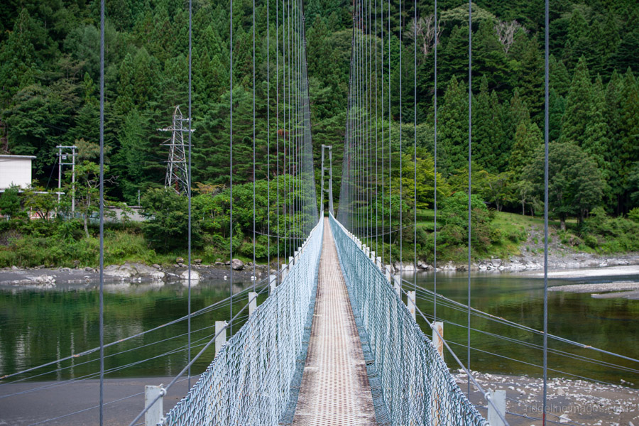
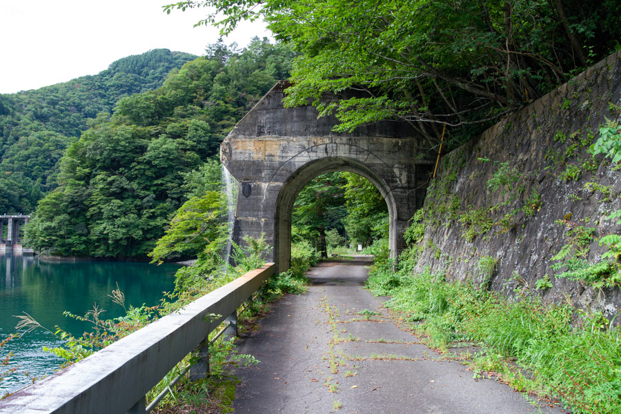
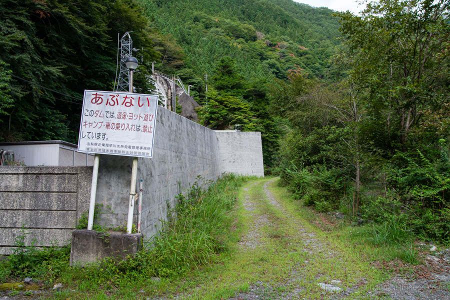
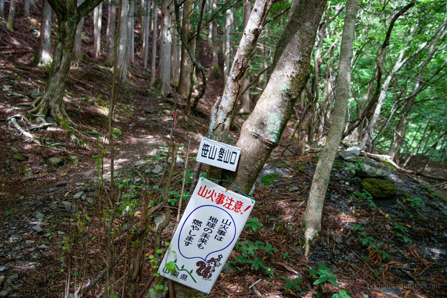
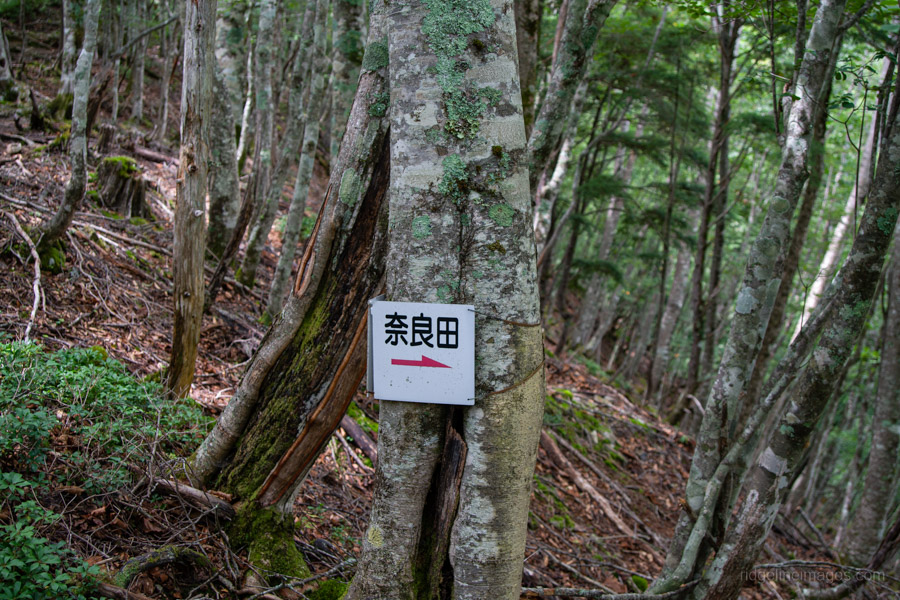
From the bus stop, head back in the direction the bus came from and cross the lengthy Shiomi Suspension Bridge 塩見橋. On the other side, turn left onto an access road running alongside Narada Lake that serves the Narada Power Station. The Sasayama Direct Ridge 笹山ダイレクト尾根 trailhead begins around to the right, just before a long tunnel. In a pinch, if you’re travelling up the previous evening, the area around here would also make a good spot for wild camping.
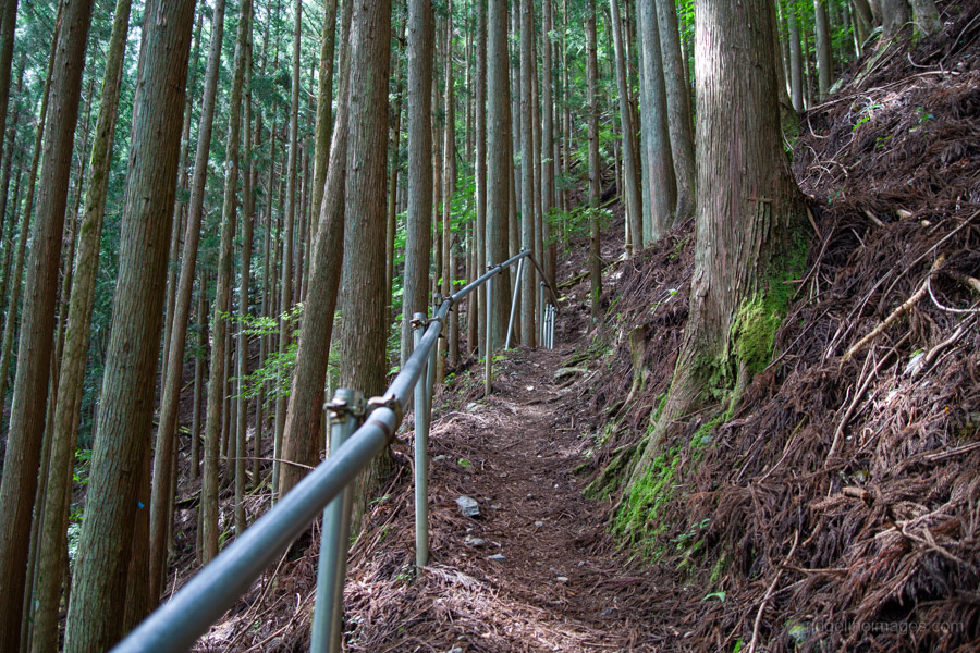
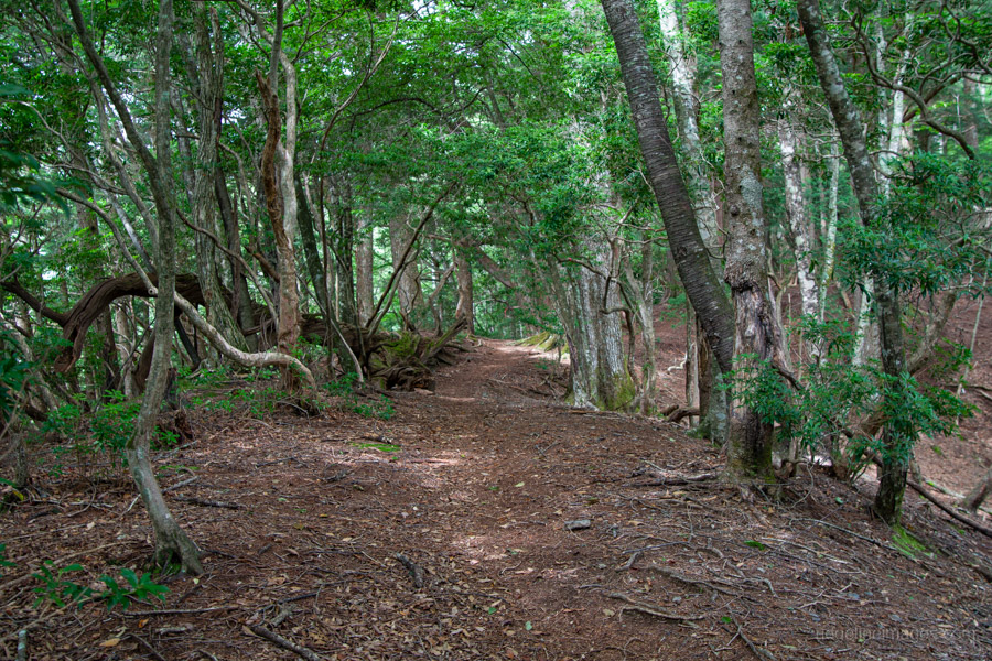
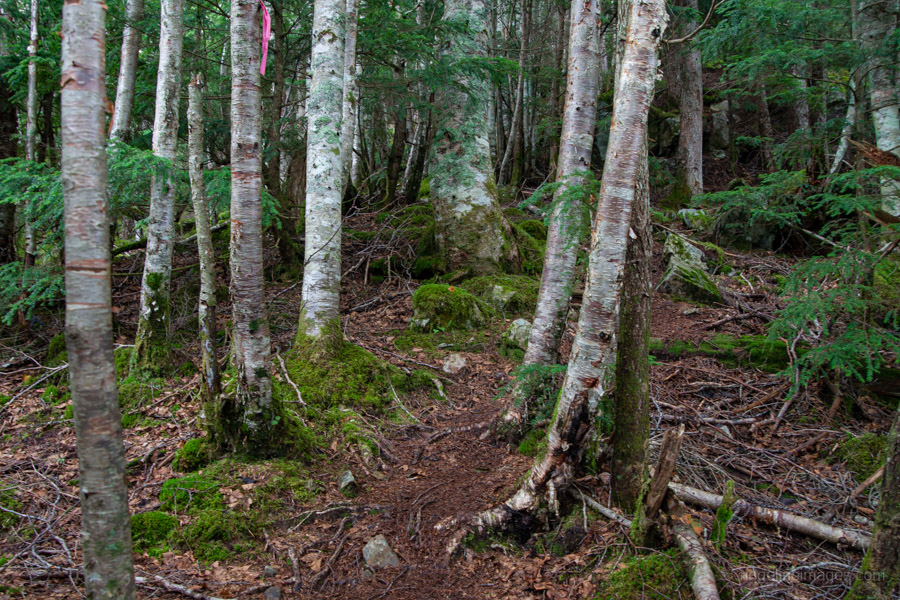
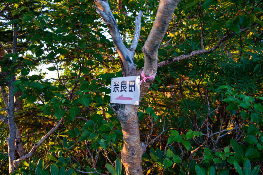
The climb starts off through a cedar forest, and it’s relentlessly steep right from the start. The hiking trail here has handrails, likely because it also serves as a maintenance route for facility workers. While the trail is denoted as a dotted line on the Yama to Kogen map, it is, in large part, relatively easy to follow thanks to being well marked with pink tape.
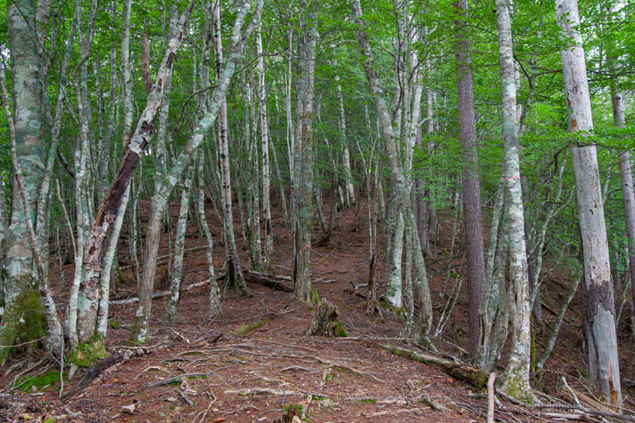
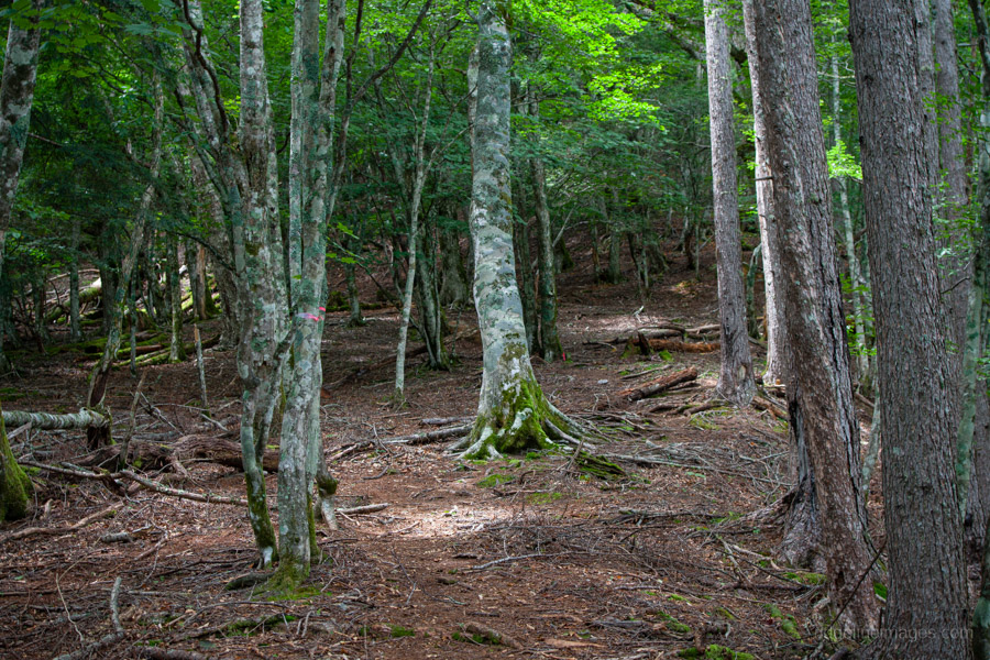
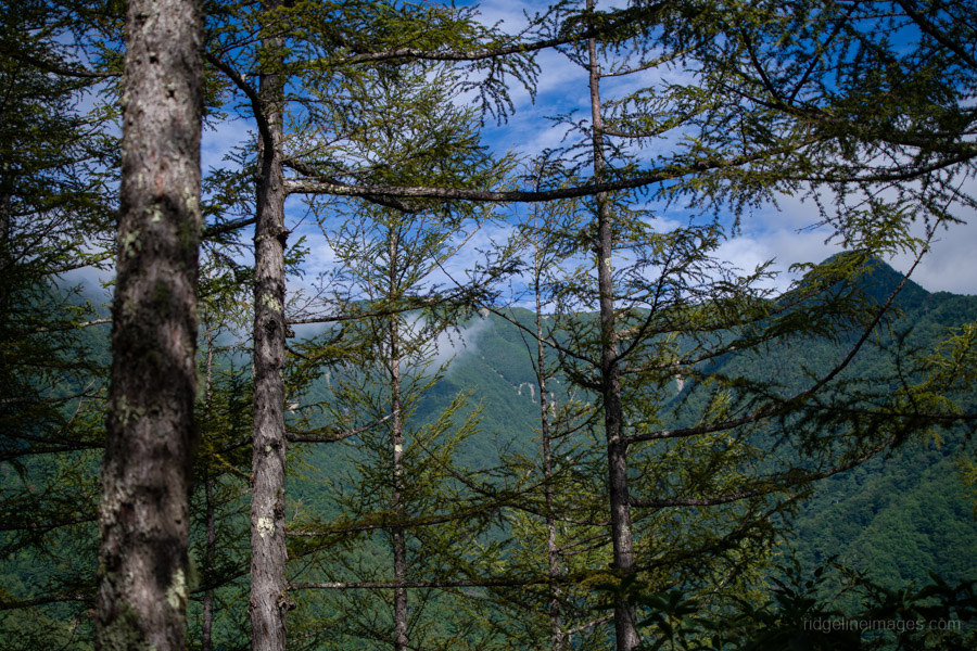
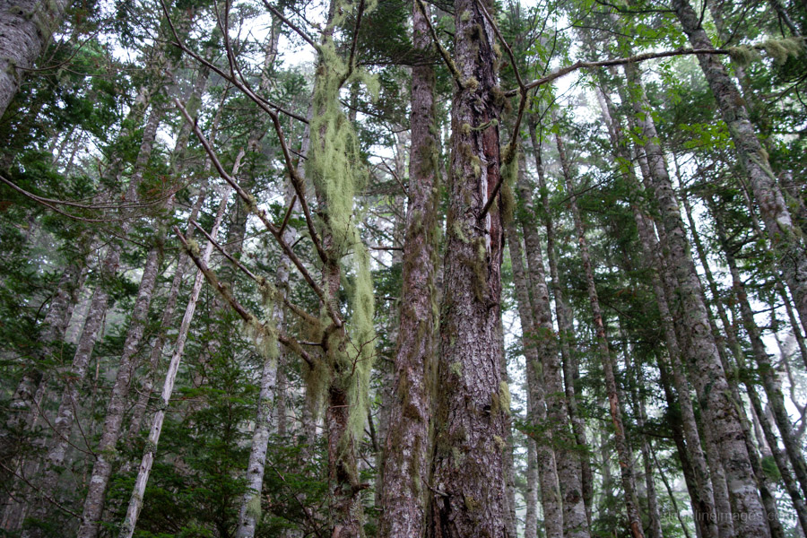
After some initial switchbacks, you come to a flat area near a broken shrine, offering a welcome respite. Occasionally, these merciful flat areas appear, although they only last for a moment. From here, a seemingly endless steep climb through a wooded area with no views follows, and that’s pretty much the story all the way to the summit. As you climb higher, the surrounding vegetation gradually begins to change from larch to beech forest.
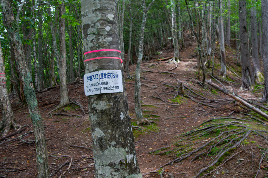
From the trailhead, it takes around two hours to reach the first main landmark, the Water Source Entrance 水場入口 at 1,603 metres. Note that it’s approximately a 25-minute round trip along a traversing trail, which is enough to make most hikers simply carry all their water from the start. It’s good to know the water source is available, though, especially if you’re doing this hike in summer, as I was.
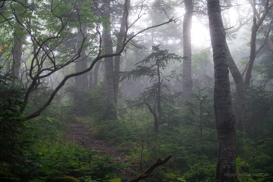
One thing I really enjoyed about this hike was the trail itself. It has an old-school feel: not trampled to death by heavy foot traffic, but not so faint that it constantly needs to be sniffed out either. That said, Sasayama has been the scene of several mountain distress incidents, including a couple who went missing here in 2017. The husband’s body was discovered several months later, but his wife has never been found.
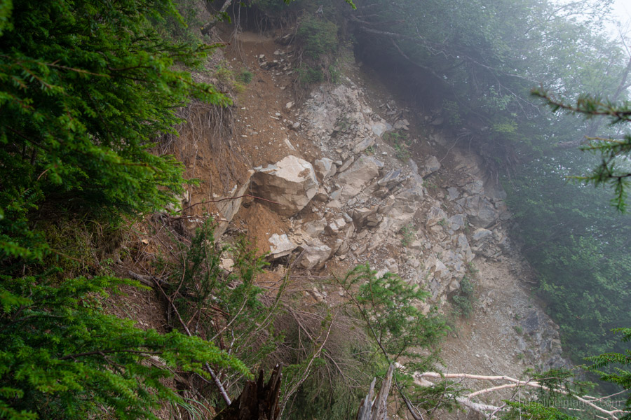
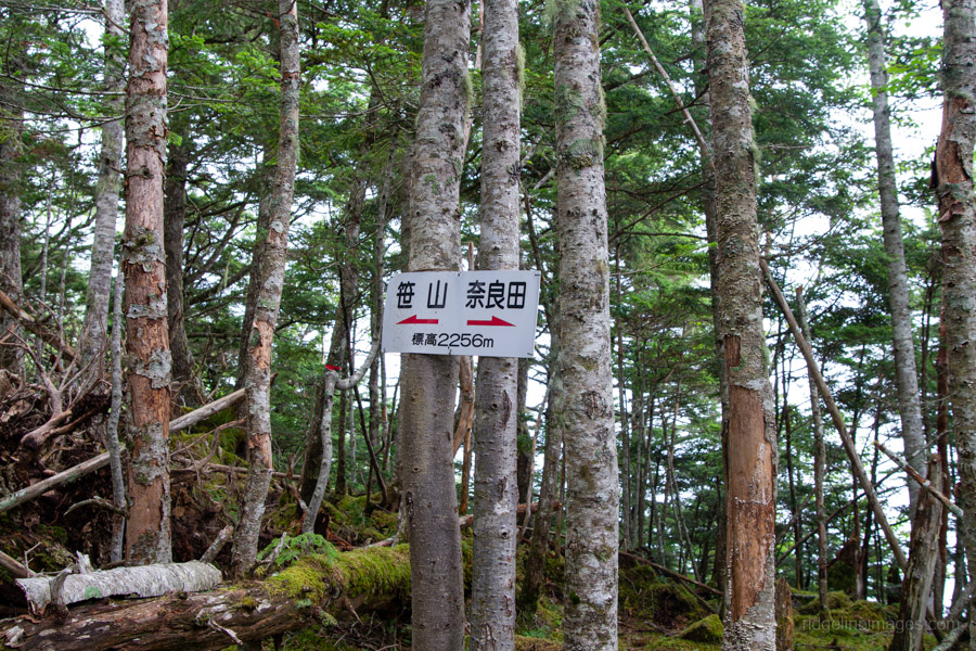
After the turn-off for the water source, the trail becomes very steep as it detours around a landslide area, at times requiring you to use your hands to pull yourself up. When you see the sign marking an altitude of 2,256 metres, the finish line is near – well, kind of. For those starting later in the day, about 10 minutes beyond here is a flat area suitable for pitching a tent if you’re unable to push on to the summit on the first day. Apparently, it gets quite well used.
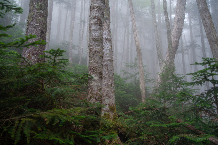
From here, the trail becomes a little faint but continues just to the right of the gully. By this stage of the afternoon, the mountain was completely cloaked in mist, and my pace had slowed down quite a bit. The final push to the summit seemed to take foreever.
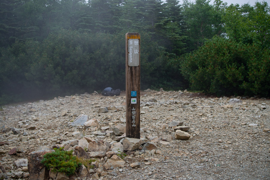
At 3:15 pm, I was relieved to finally reach Mt. Sasayama south peak 笹山 南峰 (2,718 m), having taken a solid 6.5 hours to get there from the bus stop. The mist was so thick that I could barely make out the summit marker, which didn’t matter too much as it was surrounded by shrubs, so there are no views. Tellingly, there wasn’t anyone else here either, and if you run into any trouble, the nearest huts, Daimonzawa-goya and Notori-goya, are both more than six hours away. Something to keep in mind if you are contemplating doing this hike.
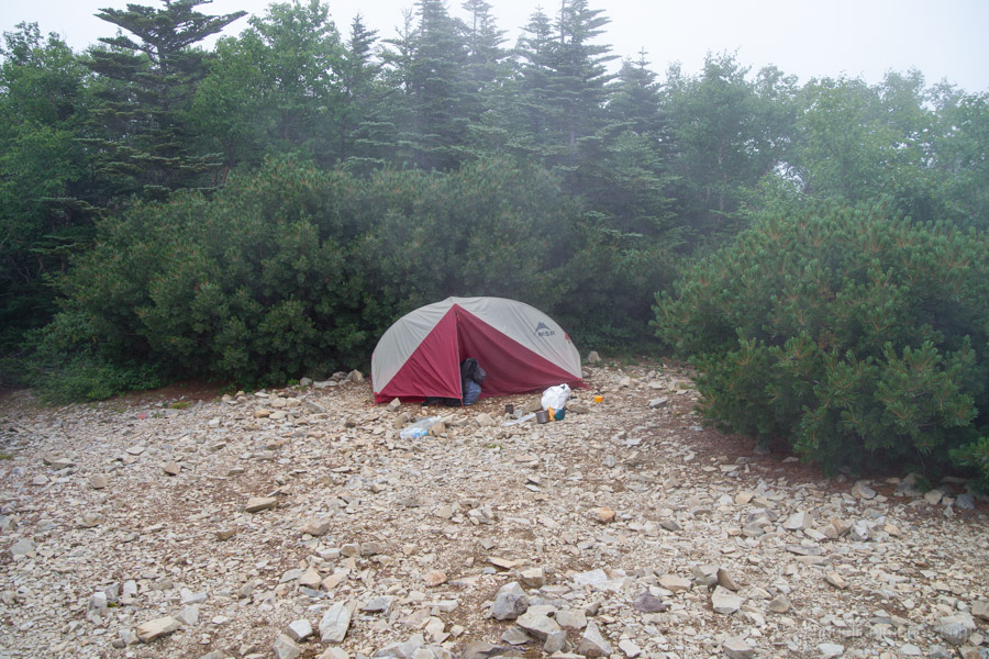
Over the entire two days, I only met four other people, three of whom were descending and one who was climbing up. Given the weather, I wasted little time scouting out a protected spot to pitch my tent on the summit. It looks like plenty of people camp here, as the tent spots are fairly obvious. Also, given the lack of views, there wasn’t much point heading over to the higher summit. Basically, I had dinner and went to sleep pretty quickly. I was completely spent.
Day 2: Sunrise, Summits and a 1,900-Metre Descent (7.6 km)
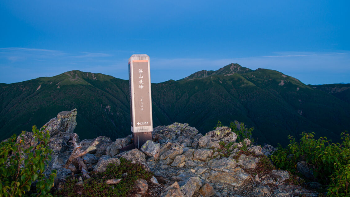
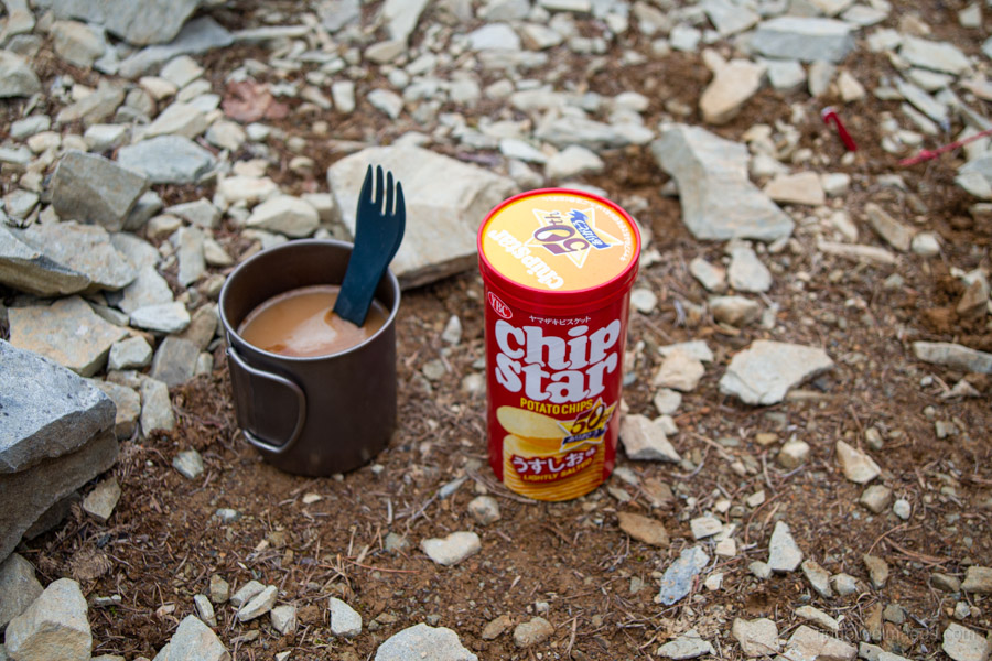
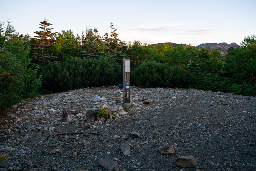
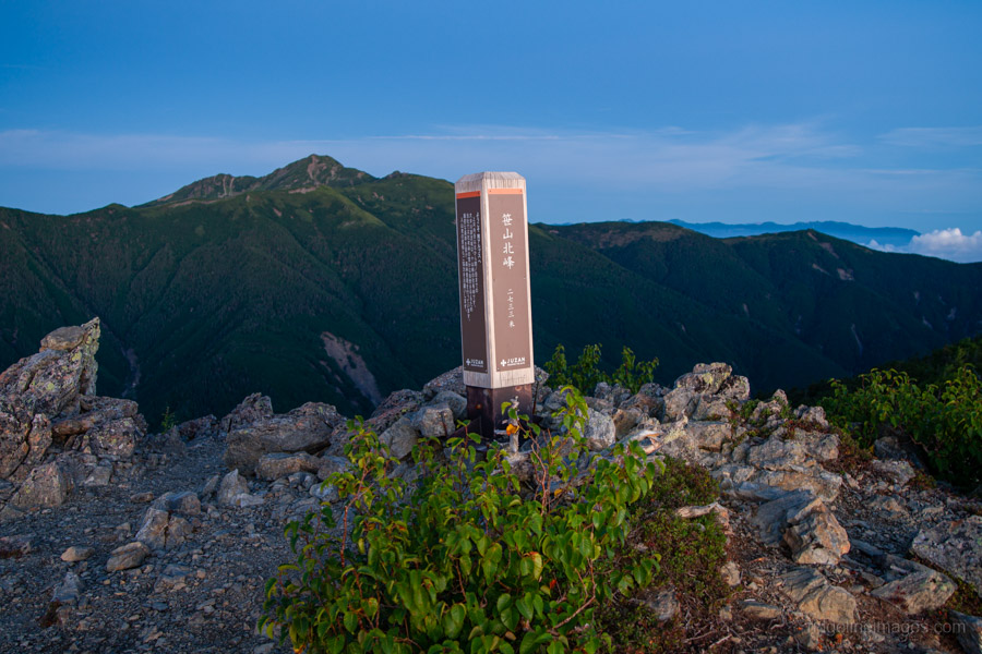
Not long after settling into my sleeping bag, it began to rain. However, after waking in the middle of the night, I found that the stars were out and the temperature had dropped – a good omen. Like clockwork, I woke at 3:15 am, prepared breakfast, broke camp at 4:30 am, left my pack and made my way over to Mt. Sasayama North Peak 笹山北峰, just 10 minutes away. At 2,733 metres, it is a mere 15 metres higher than the south peak.
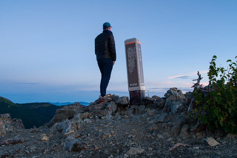
In case you’re wondering, the official 100 Famous Mountains of Yamanashi summit marker is on the lower summit rather than the higher north peak because the latter is privately owned by Tokai Pulp. The name “JUZAN” written on the marker refers to the company, which manages the forests.
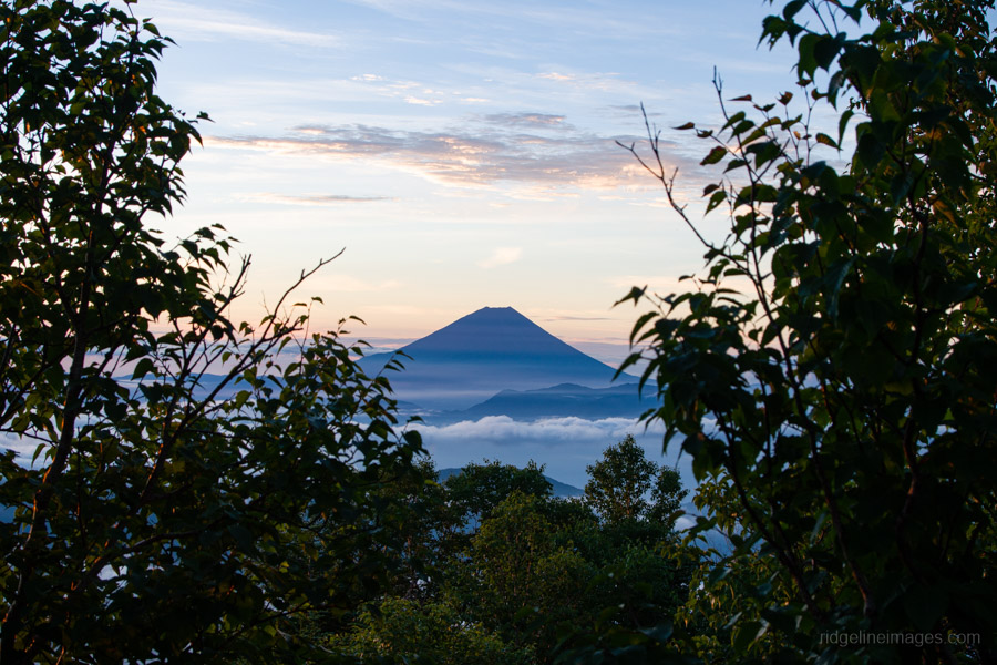
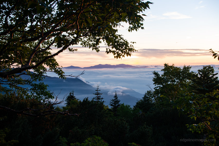
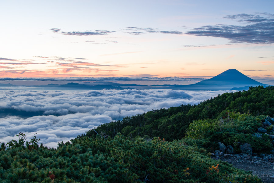
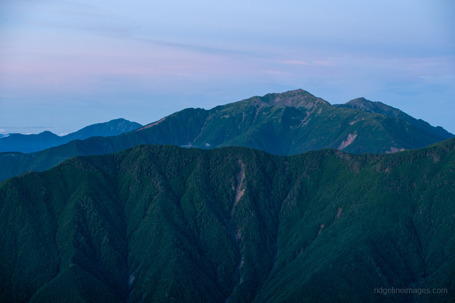
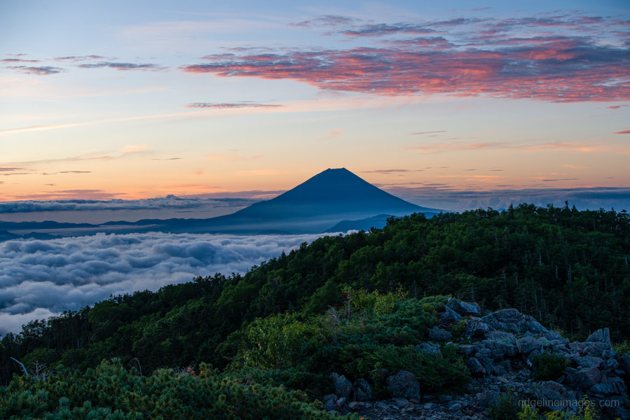
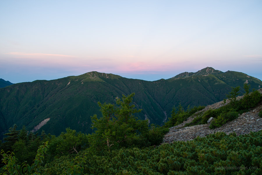
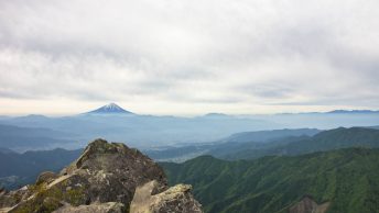
With that out of the way, let’s get on to the panoramic views – of which there are plenty. First up are Mt. Arakawa and Mt. Shiomi, both possessing an overwhelming sense of scale, along with a stunning view back across the south peak towards Mt. Fuji and the distinctive angled peak of Kitadake.
After gathering my pack, I was home and hosed – back down some 1,900 metres to the bus stop. I had given myself the task of catching the 9:50 am bus, which gave me a little under 4.5 hours to make it down.
Just below the summit, the terrain is quite steep, and I learnt pretty quickly to avoid the slick tree roots sticking out across the trail, which were an accident waiting to happen. I’m usually not the quickest at descending, but I made it back down in exactly four hours without incident, meeting just one solitary soul making their way up, just as I had done the previous day.
Footnote:
Before you reach for Zarugatake 笊ヶ岳 – I checked. The Oidaira approach comes close on elevation gain, but the ford at Hirogawara is used by hikers as their last water resupply before the summit push, so it doesn’t clear the ‘no on-route water’ bar.
David, that’s really does sound like a beast of a mountain. Well done, especially to get down it so quickly. Taking on your challenge I can’t think of any other route as long without huts or water. There is one route, but not quite as long, and also in the Minami
Alps. It’s the Hijiri Higashi One route from Hijiri Tozan guchi starting at 1,140m and reaching the summit of Hijiri Dake at 3,013m. It’s a dotted line track on the YamatoKogen map and a vertical climb of 1,873m, so just 30m shy of your 1,903m climb up Sasayama.
Of course there is Fujisan in the off season when the huts are closed, but I assume you didn’t want to include it. The Yoshida Tozando route from 1 gome at 1,110m to the summit at 3,776m in mid September to October after the official climbing season closes, with no snow and no water, is a big beast of a 2,600m climb!
Thanks for reading, Phil, and for taking a crack at the challenge. The Sasayama Direct Route just escaped by the skin of its teeth! A very nice find.
As for Fujisan, even setting aside the off-season issue, it isn’t really a valid candidate, as Sato-goya, near the Yoshida Trail 5th Station, is open year-round. So that would break the no-hut rule anyway.
Well David I had a look around and you may have bagged it! I’d suggest Daimugen-zan from Sumata Onsen via Asahi-dake as a candidate (taking into account the actual metres you need to climb). That one will have you easily ascending over 2200m with nothing but a scummy pond for sustenance just before the summit. And maybe not even that after summers like this! Ikeguchi-dake may come close. It looks to be some 2000m of up when relying on public transport and I don’t see any water source on trail according to the maps in my possession.
Thanks Willie, that was a seriously strong contender! The 2,200m-plus ascent certainly got my attention. Unfortunately, I found the 営林小屋 on the route, and while it’s admittedly not in the greatest condition, it could be used in a pinch. So, reluctantly, I’m calling Daimugen-zan out on the hut rule. Sasayama survives for another day!
That’d have to be a pretty good pinch to sleep in that hut having seen it in person, but fair enough. Let’s move that hut some three difficult hours out of reach of the top. Jump one ridge to your east and you’ve got another 2200m climb to Daimugen from the Mt. Kurishiro trailhead (栗氏山口). Looks like most hikers mad enough to do this route descend through here after bagging Asahi and Daimugen but some do climb it, as evidenced by Yamareco. As for water sources good old AI tells us: “There is one known emergency water source located at the headwaters of the Koppasawa コッパ沢源頭水場, slightly below the col near Sanbo-mine 三方嶺 or Sanbo-kubo 三方窪 after passing Kaze-irazu. Accessing it requires dropping down a steep, faint trail off the main ridge and a round-trip of roughly 30 to 45 minutes.”
Sounds like more trouble than it’s worth. Actually the whole thing sounds like more trouble than it’s worth.
Perseverance pays off! Nice one – I’ll chalk Daimugen-zan up as a winner. While it’s a variation route, enough madmen seem to have used it that it’s not too obscure. I’ll be in touch regarding your prize. 🙂