
.
Mt. Obinayama 帯那山 – Tara-toge 太良峠 – Mt. Tanayama 棚山
Distance: 18.5 km
Elevation change: 1091 metres
Highest point: 1422 metres
Start: Toichi bus stop (taxi)
Finish: Yamanashi-shi Station (JR Chuo Main Line)
Difficulty: ▅▅▅▅▅▅▅▅▅▅ ❹
Map: Yama to Kogen Chizu 山と高原地図[No.28 金峰山・甲武信 KINPU-SAN·KOBUSHI]
GPX TrackKML TrackGSI MAPPDF Topo Map
An Overlooked Yamanashi Peak and a Wild Camp Above the Kofu Basin
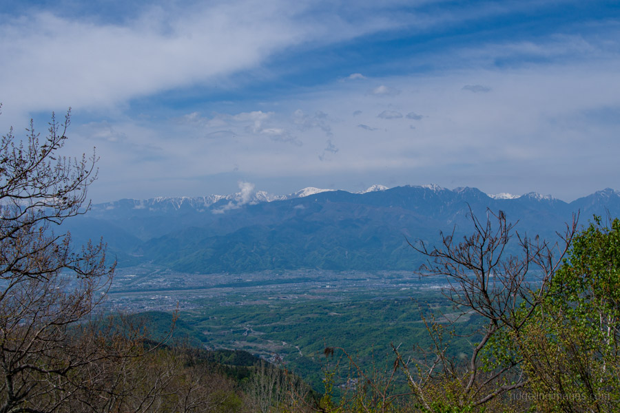
Mt. Obinayama is one of those peaks that quietly flies under the radar. Tucked away in a quiet corner of Yamanashi, where the foothills ease into the deeper Okuchichibu Mountains, it’s listed among the 100 Famous Yamanashi Mountains but draws little attention. Yet on a clear day, the broad, sunlit summit delivers expansive views that rival far better-known peaks.
Obinayama also makes for a flexible outing: you can drive much of the way up via a forestry road or, as on this occasion, turn it into a more rewarding overnighter with a discreet wild camp overlooking the Kofu Basin.
Day 1: Obinayama Ascent and Ridge Traverse (11.7 km)
As with many mountains in Yamanashi, access is more difficult than it ought to be due to limited public transport. A community bus does run from Yamanashi-shi Station 梨市駅 (JR Chuo Main Line) to the Toichi bus stop 戸市, just a short walk from the trailhead, but it makes only a single round trip per day and doesn’t depart until around 5:20 pm. In practice, it’s largely unusable for hikers. The only realistic option is a taxi, which costs around 5,000 yen. I had no trouble catching one outside the station at around 7:30 am.
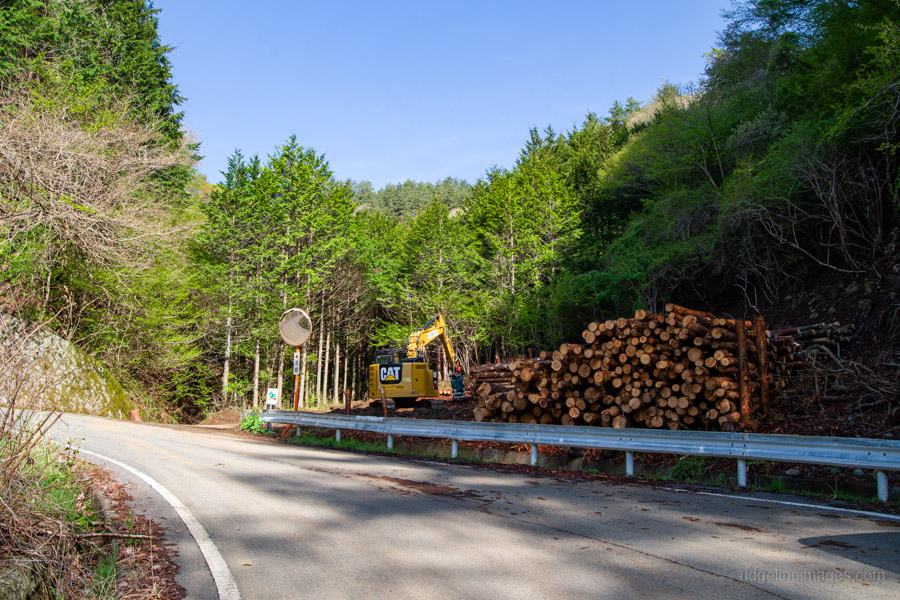
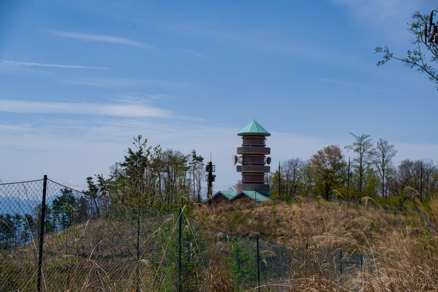
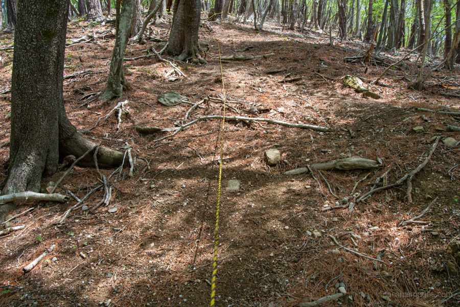
After hopping out of the taxi, you’ll catch a glimpse of the radio relay station, which you’ll pass later. The trailhead sits where the road makes a sharp bend towards the mountain pass. Although marked as a hiking trail, the route is essentially an unpaved road – likely a former forestry track. It’s noticeably overgrown in places, with fallen trees suggesting that few people or vehicles have passed through recently.
After briefly crossing a paved section of road, turn left to rejoin an unpaved forest track. A little further on, another forestry road branches off; take this right-hand turn, which gradually loops around towards the summit.
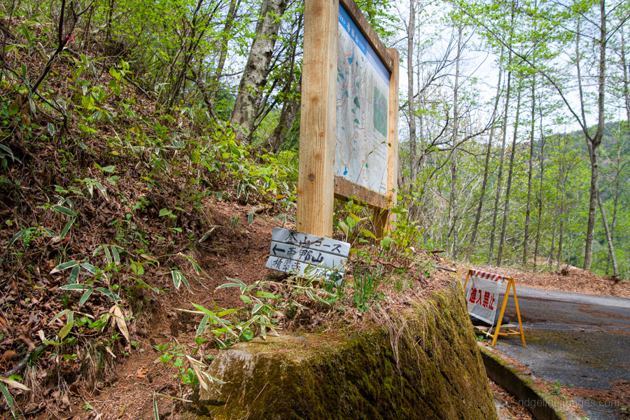
This area is crisscrossed by a complex network of forest roads, and their connections aren’t always clear on the Yama-to-Kogen maps. A GPS device or mapping app is therefore highly recommended.
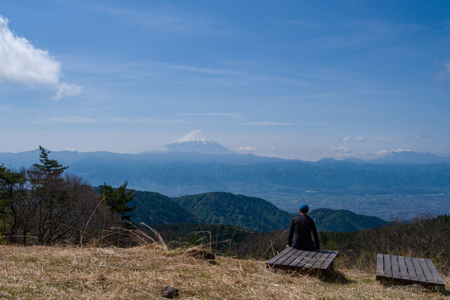
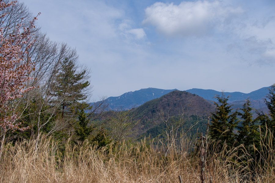
The summit, reached in just over an hour from the bus stop, is broad and open, with several benches dotted around. Despite the excellent weather, there wasn’t another soul in sight, a surprising contrast to the magnificent views on offer.
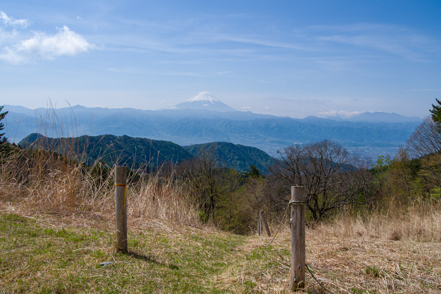
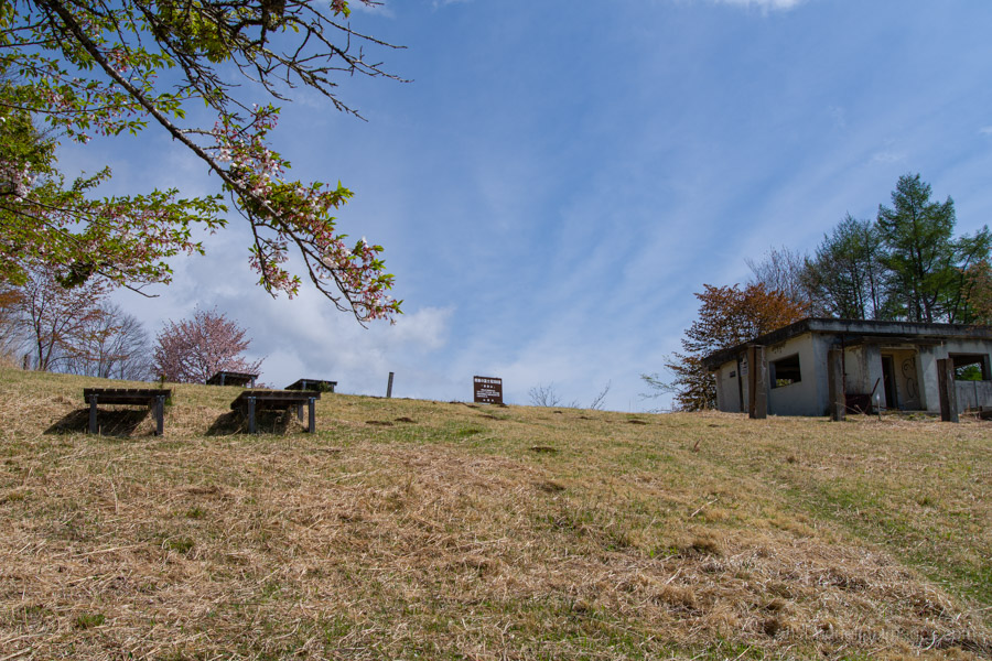
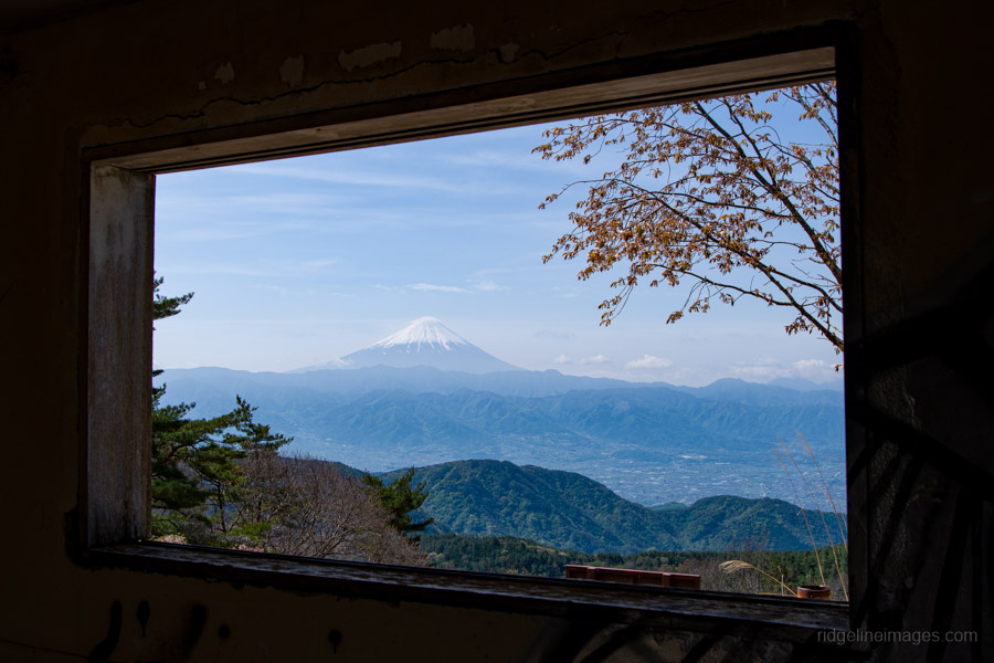
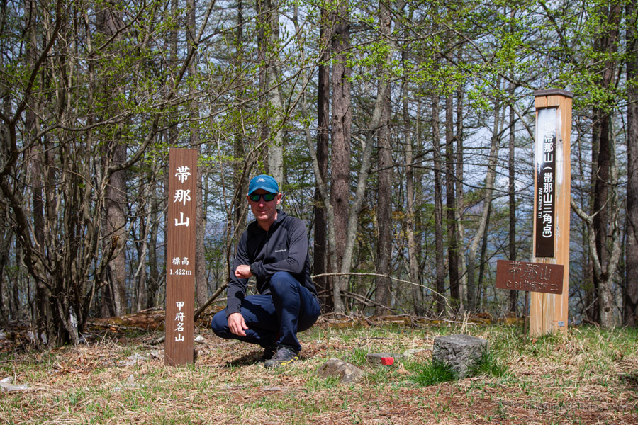
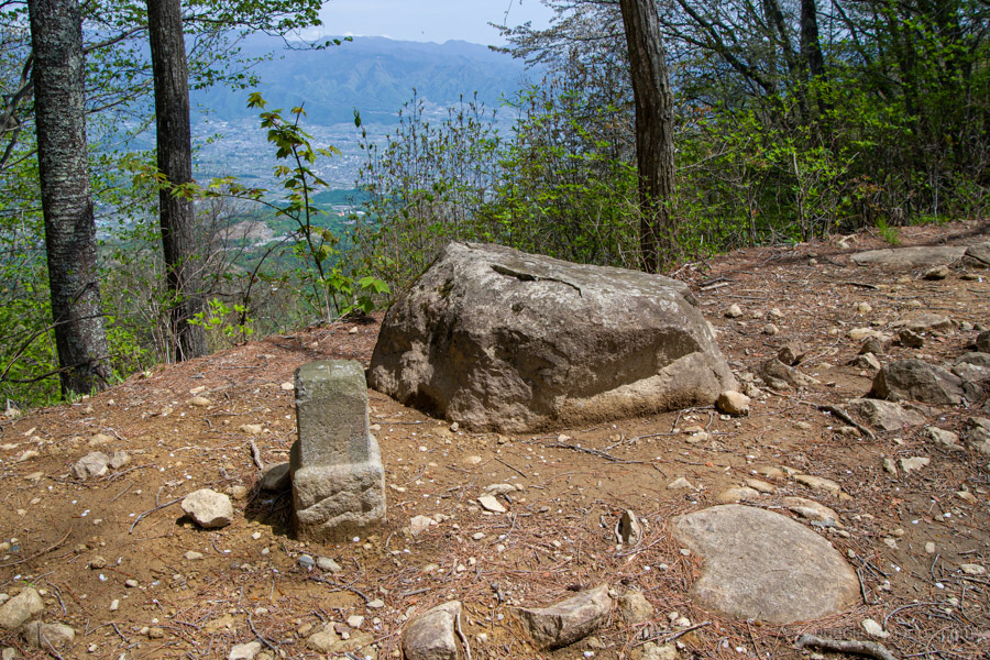
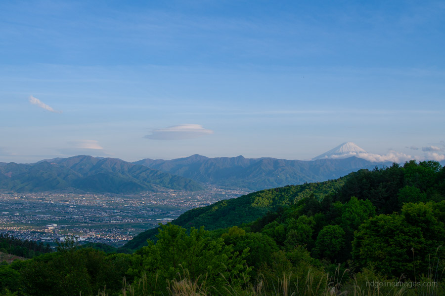
At the top of Mt. Obinayama 帯那山, the reinforced concrete remains of a former radio relay station still stand, adding an austere note to the otherwise peaceful setting. Looking out, you have clear views of Mt. Fuji, while in the opposite direction you can pick out Mt. Kinpu. The true high point of the mountain is Oku-Obinayama 奥帯那山 (1,422 m), a secluded spot about 10 minutes away.
From the summit, the next objective is the radio repeater tower. To reach it, descend to the road and follow the forestry track as it loops around the hillside. This area was once used as pasture, and scattered concrete remnants still hint at its former use.
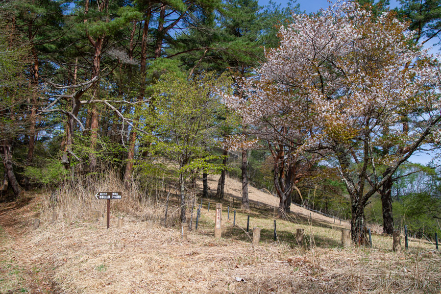
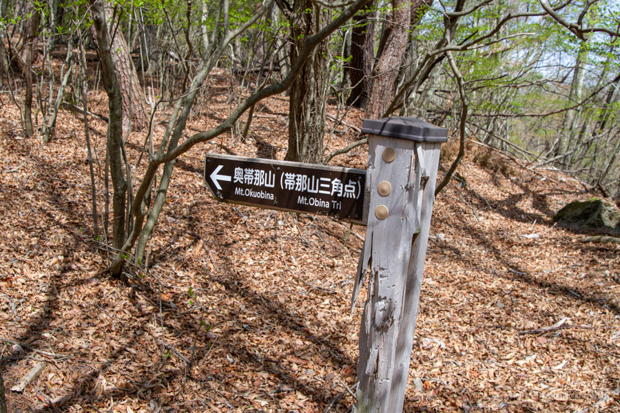
From the tower, head downhill briefly to rejoin the hiking trail. The path here is faint – though marked with pink tape, it can be tricky to follow in places. It eventually emerges onto another forestry road, where a signpost points to Kofu. This is the correct direction, but don’t simply follow the road all the way down, as it leads to Sekisuiji Onsen. Instead, change course towards Tara-toge 太良峠. Just before the logging coupe turn left, as this quickly leads down to the road. I missed this and ended up following the fence line instead, making unnecessarily hard work of a steep descent.
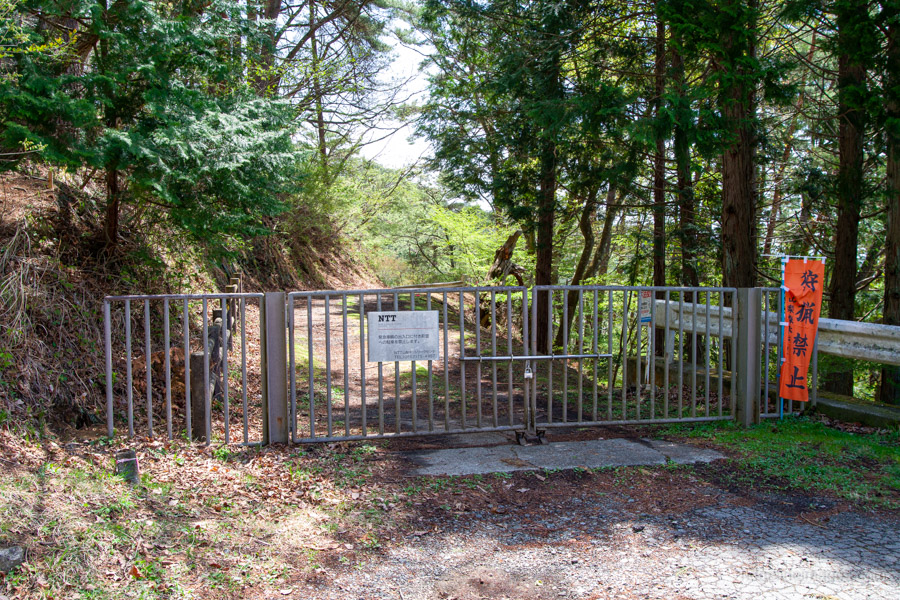
At Tara-toge, turn right and pass through a locked NTT gate, then continue along the road for around 15 minutes to Ichi-no-daira 一の平, a pleasant spot and a good place for an early lunch.
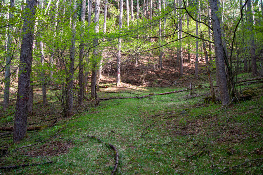
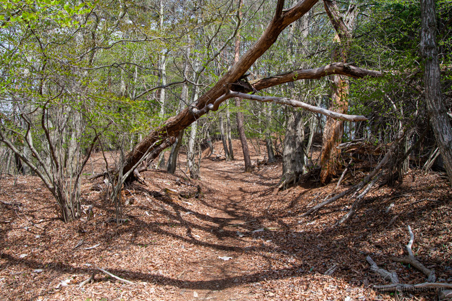
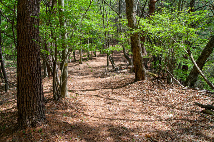
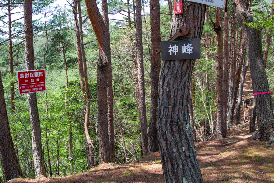
From here, the route finally returns to a proper mountain trail. In spring, the area is especially beautiful, with fresh shinryoku 新緑 – the vivid new-season green – filling the forest. The first landmark is Kanpo-mine 神峰, more of a minor bump than a true peak. After dropping into a saddle, the climb up to Mt. Tanayama 棚山 (1,171 m) is short but very steep, with occasional fixed ropes to assist.
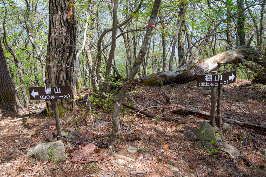
The summit offers partial views of Mt. Kaikoma, and through the trees you can also glimpse Hottarakashi Onsen. There are two options for the descent: the Yamanokami Course 山の神コース and the Kasaneishi Course 重ね石コース. The Yamanokami route is shorter but quite steep, while the Kasaneishi Course follows the ridge and is slightly longer with a more moderate gradient. Whichever you choose, the upper section below the summit is extremely steep.
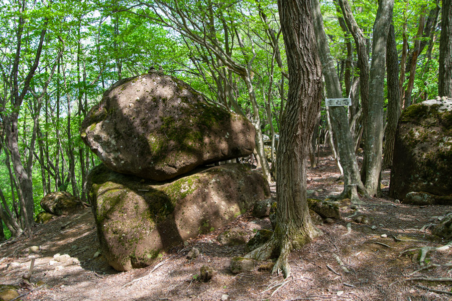
Further down, the trail eases into a gentler ridge scattered with large rocks. About halfway along, you’ll come across the stacked stones of Kasaneishi 重ね石, from which the route takes its name. Beyond this point, the trail steepens again, dropping quickly through leaf-covered slopes that can be slippery underfoot.
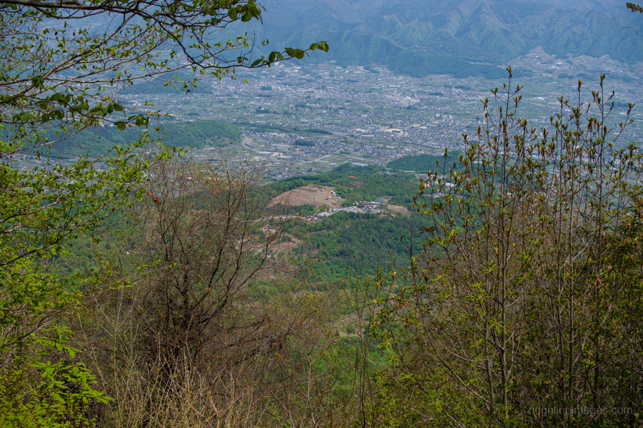
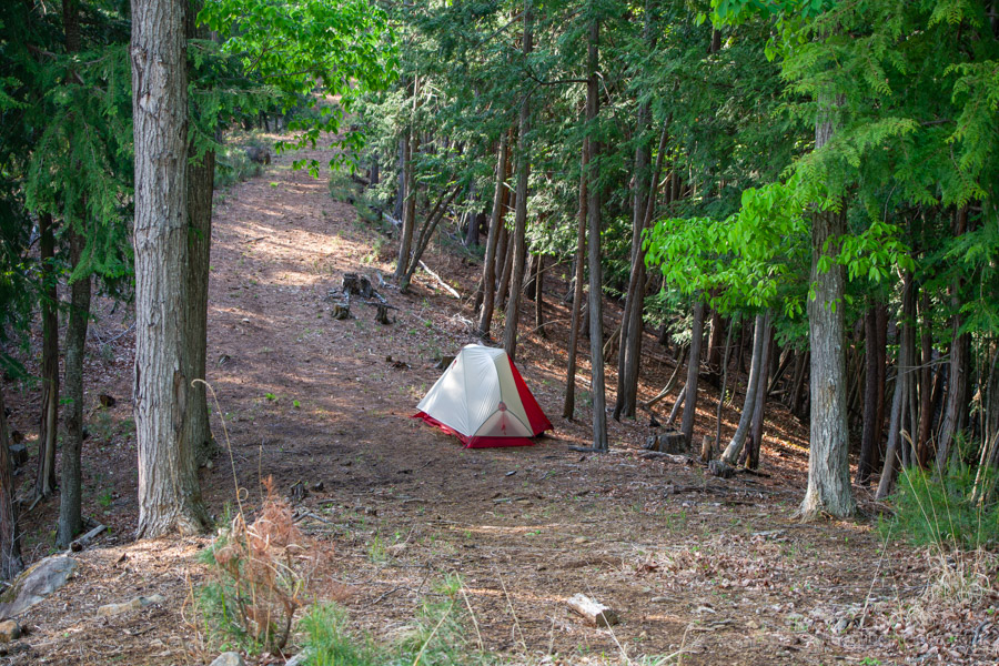
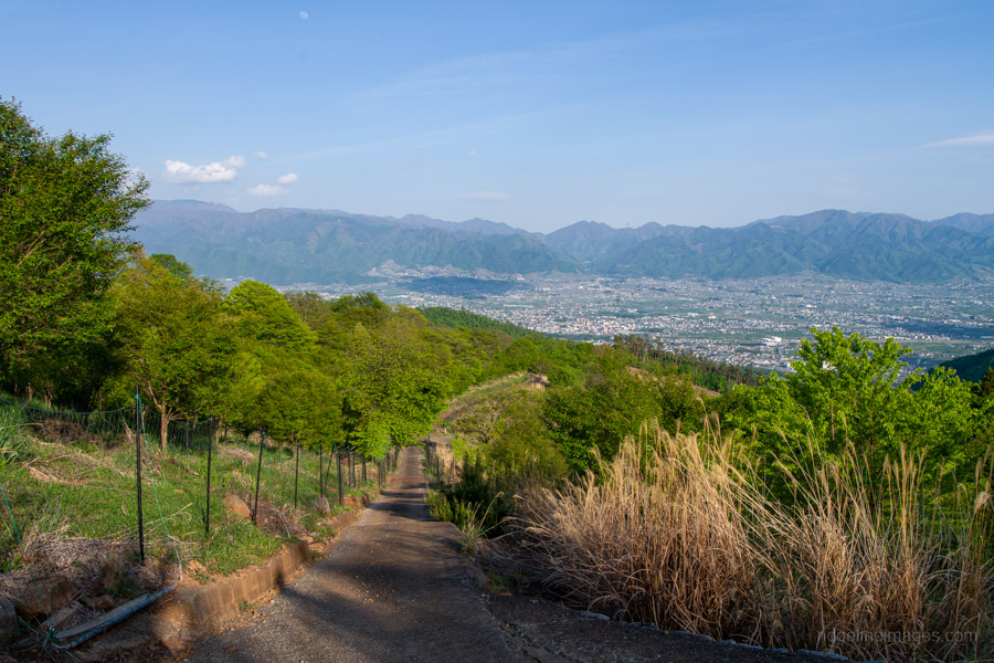
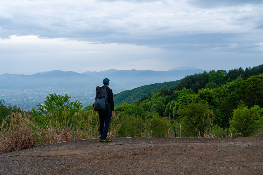
Eventually, the route emerges once more onto a forest road. I found a quiet, secluded spot nearby to camp. While I carried sufficient water, I did notice a couple of nearby sources – though their reliability is uncertain. Just around the corner from the campsite, the view opens up dramatically. Mt. Fuji is clearly visible, along with the Koganazawa range and the spread of the Kofu Basin below – an outstanding vantage point. I set up camp around 2 pm and made several short return trips to this viewpoint.
Day 2: Early Descent to Hottarakashi Onsen (6.8 km)
The previous evening had been calm and still, with barely a breath of wind – ideal conditions for a peaceful night out. I broke camp early and began the final descent towards the Chuo Line before 5:00 am.
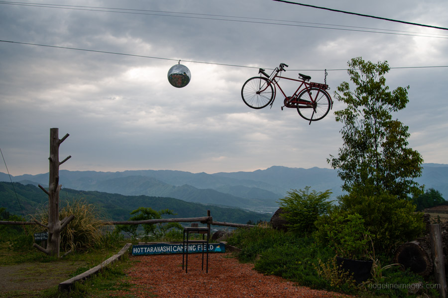
Just besides Hottarakashi Camping Field is its namesake, Hottarakashi Onsen (900 yen). Even at this hour it was already open and doing brisk business with campers rising for the day. Perched on a hillside at around 700 metres, the baths offer expansive views – well worth the early start.
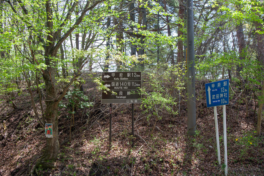
After a relaxing soak, it’s about another hour or so of roadside walking back to Yamanashi-shi Station.


I suspect you might be the first person in the world to introduce this climbing route in English.
I dare say you’re probably right, Ootsuki. Even on Yamareco I struggled to find anyone who’d done the same route; it wasn’t easy finding a GPX track for it.
Obinyama has fantastic views. Fortunately, it is hard to get to. I have been there a few times and enjoy the quiet nature of the summit.