.
Nasu Ropeway 那須ロープウェイ – Mt. Asahi 朝日岳 – Okamaguchi お釜口
Distance: 6.8 km
Elevation change: 525 metres
Highest point: 1915 metres
Start: Nasu Ropeway bus stop
Finish: Nasu Ropeway bus stop
Difficulty: ▅▅▅▅▅▅▅▅▅▅ ❸
Map: Yama to Kogen Chizu 山と高原地図 [No.12 那須・塩原・八溝山 NASU·SHIOBARA]
GPX TrackKML TrackGSI MAPPDF Topo Map
Mt. Asahi and Mt. Chausu in Early Autumn
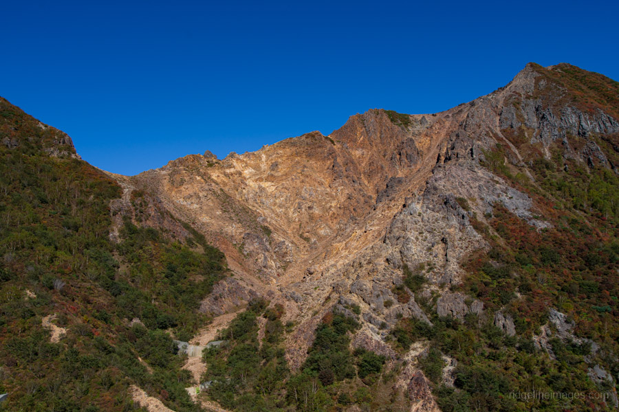
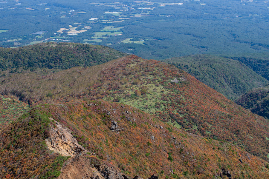
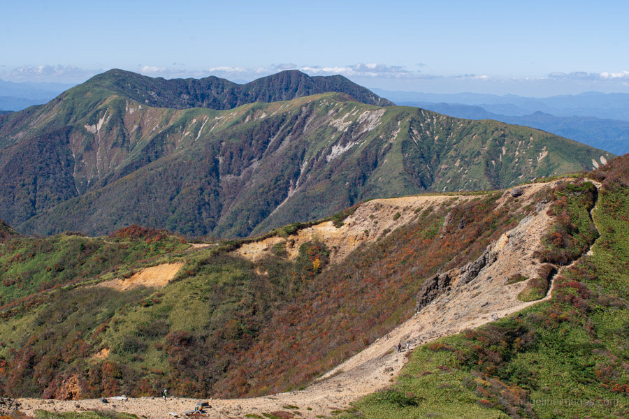
Mt. Nasu is the collective name for a group of stratovolcanoes, generally referring to three main peaks: Mt. Chausu, Mt. Asahi, and Mt. Sanbonyari. Of the three, Mt. Chausu is particularly popular, thanks to the ropeway that makes reaching the summit relatively easy. This hike took in the first two of these Hyakumeizan peaks amid the weekday crowds enjoying the early autumn foliage.
The quickest way to reach Mt. Nasu is by Shinkansen. We travelled from Omiya, but trains also run from Tokyo and Ueno (from Tokyo: 1 hour 10 minutes, 5,600 yen). We arrived at Nasushiobara Station 那須塩原駅 with 20 minutes to spare before catching the first bus of the morning to Nasu Ropeway Station 那須ロープウェイ駅, departing at 7:50 am from bus stand 3 outside the west exit (77 minutes, 1,640 yen). Local trains from Tokyo are another option, but the earliest arrival at Nasushiobara is around 8:00 am, which means you would have to take the second bus, departing at 8:35 am. The bus also stops at nearby Kuroiso Station.
When we arrived at the bus stand, a sizeable queue had already formed. Akiko and I were lucky to snag the last two seats. The long and relatively expensive journey was well worth it. We stepped off the bus at the ropeway station, 1,391 metres up, to brilliant blue skies and crisp mountain air. The route can be done in either direction, but we decided to save the ropeway for the descent and start with the climb.
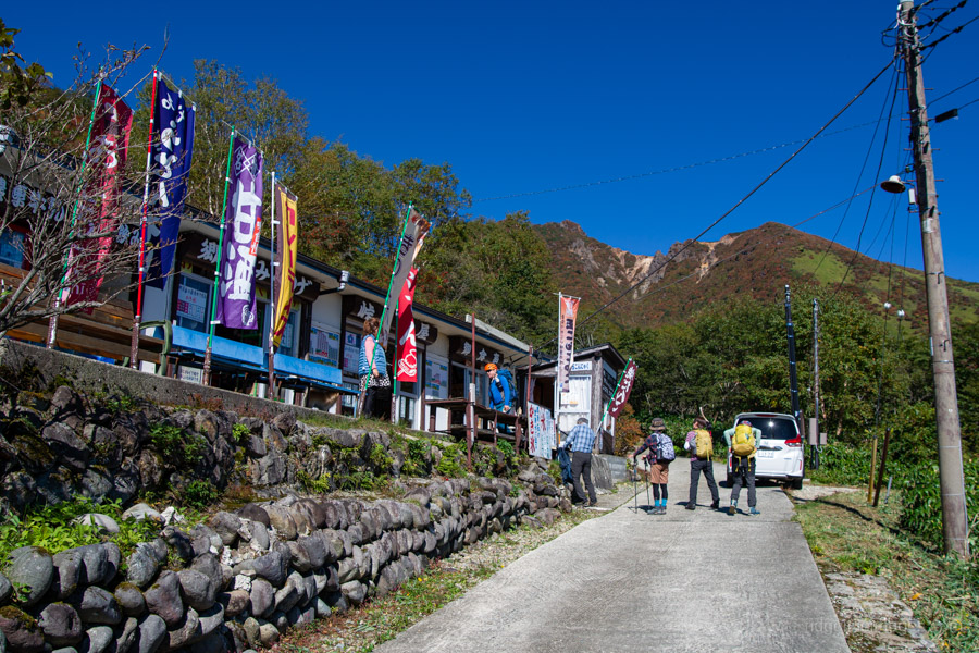
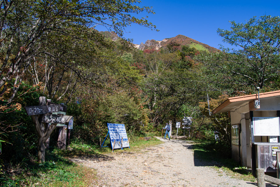
The initial climb passes through a developed tourist area along a cobblestone path. Beyond the last car park, a torii gate marks the start of the mountain trail. Nearby, a small bunch of flowers commemorated the third anniversary of the October 2023 accident on Mt. Asahi, when four hikers in their 60s and 70s died of hypothermia on the ridge.
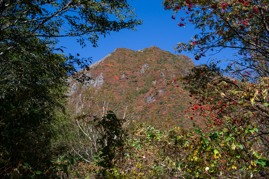
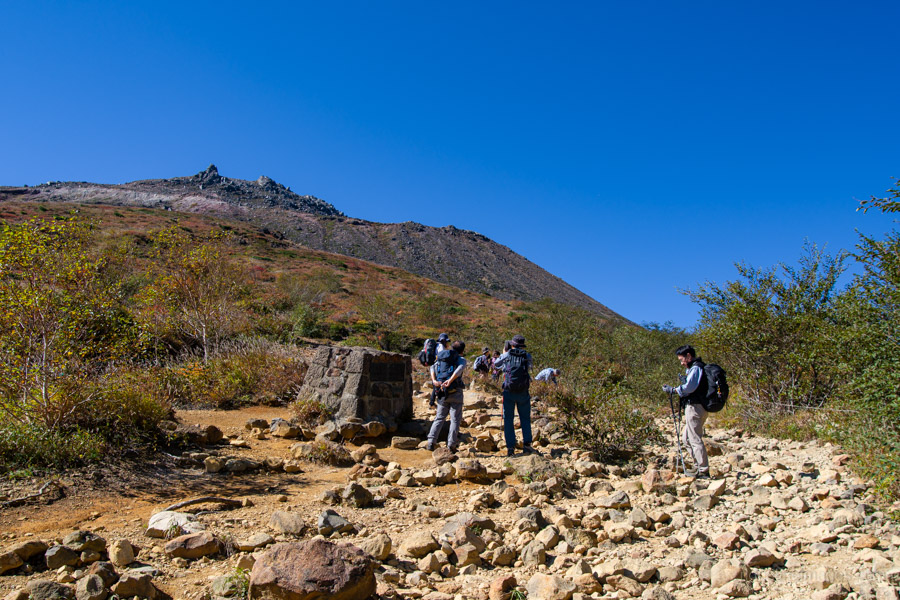
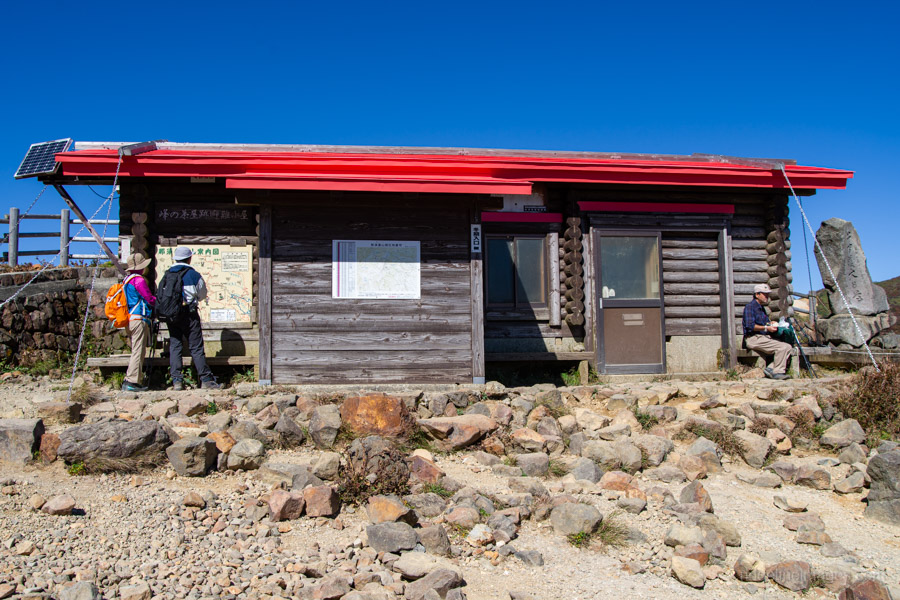
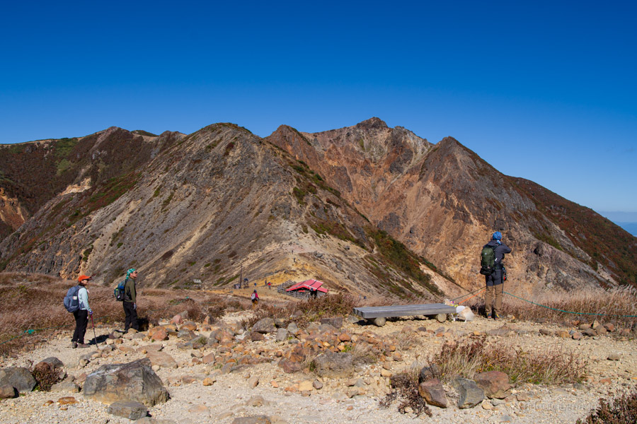
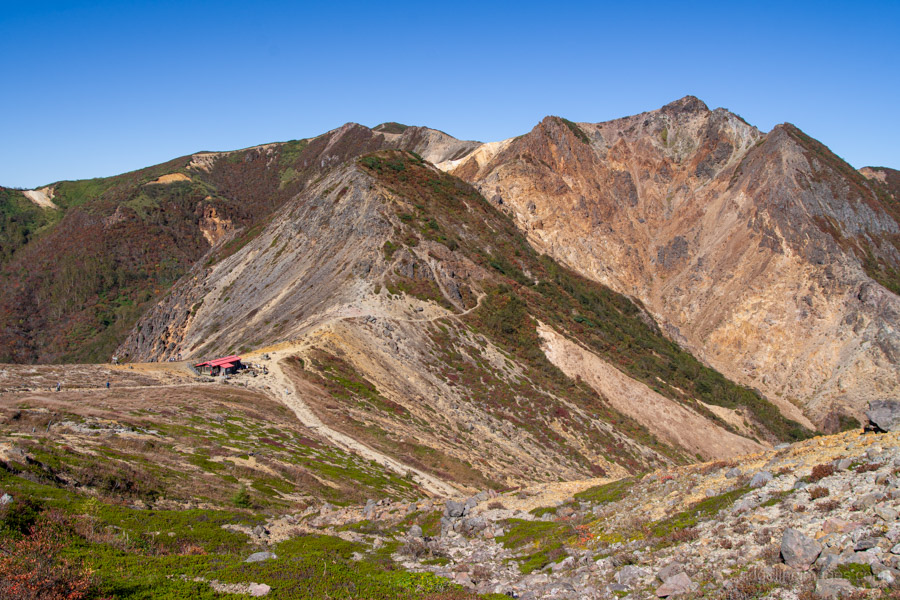
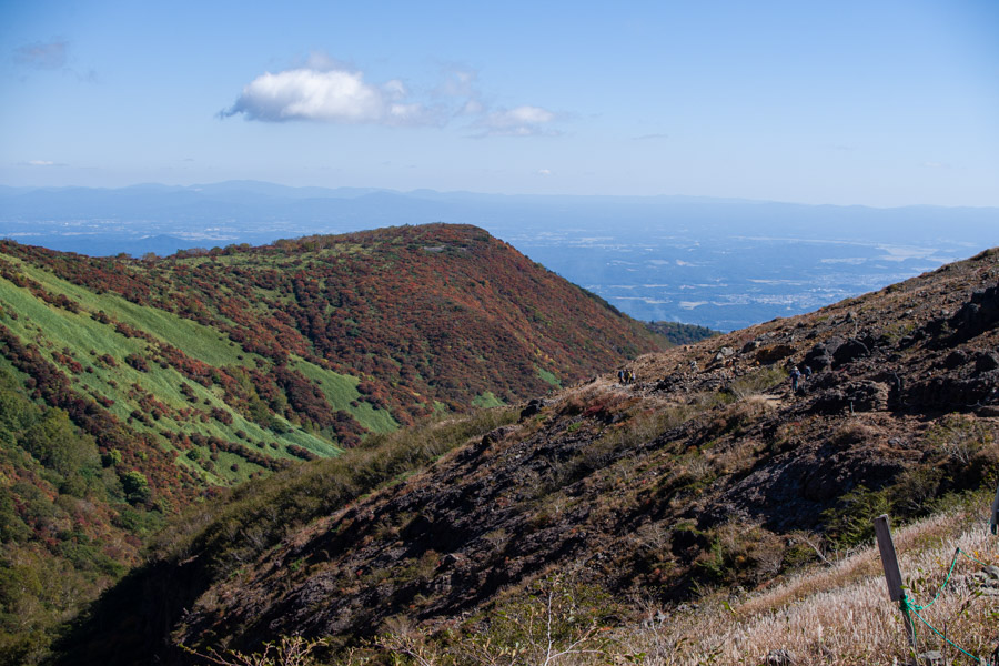
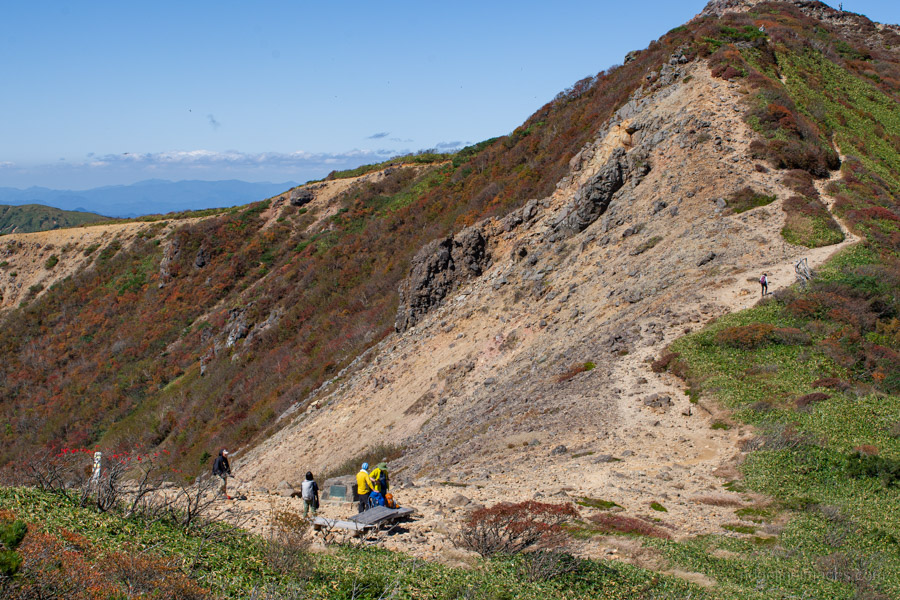
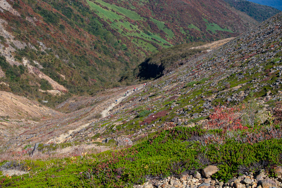
One of the great things about Mt. Nasu is how quickly you get above the treeline. You can skip the arduous slog through the forest and enjoy sweeping mountain views almost from the outset. Before long, you reach the site of the former teahouse at the mountain pass, with Mt. Chausu to your left and the striking peak of Mt. Asahi to your right. The red-roofed building ahead is Mine-no-Chaya Refuge Hut 峰の茶屋跡避難小屋. The walk from the top car park to this point is gentle and straightforward.
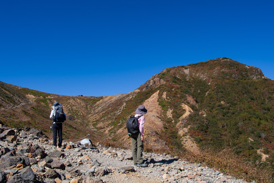
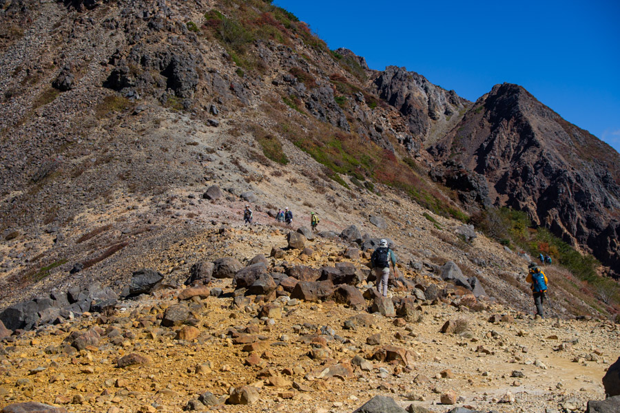
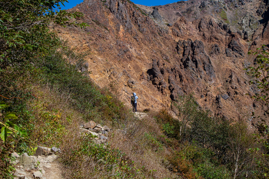
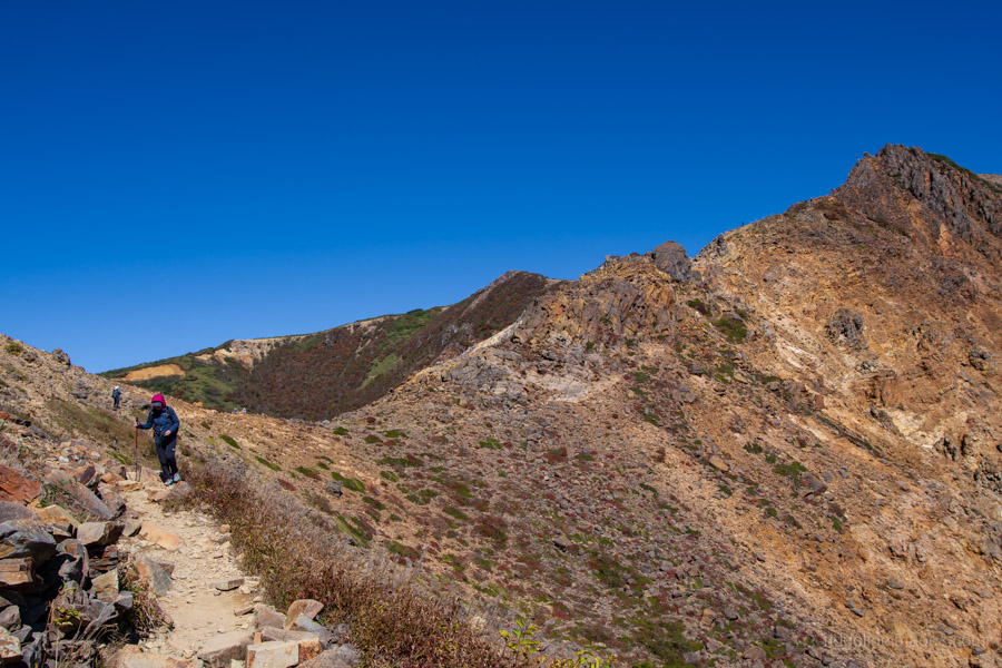
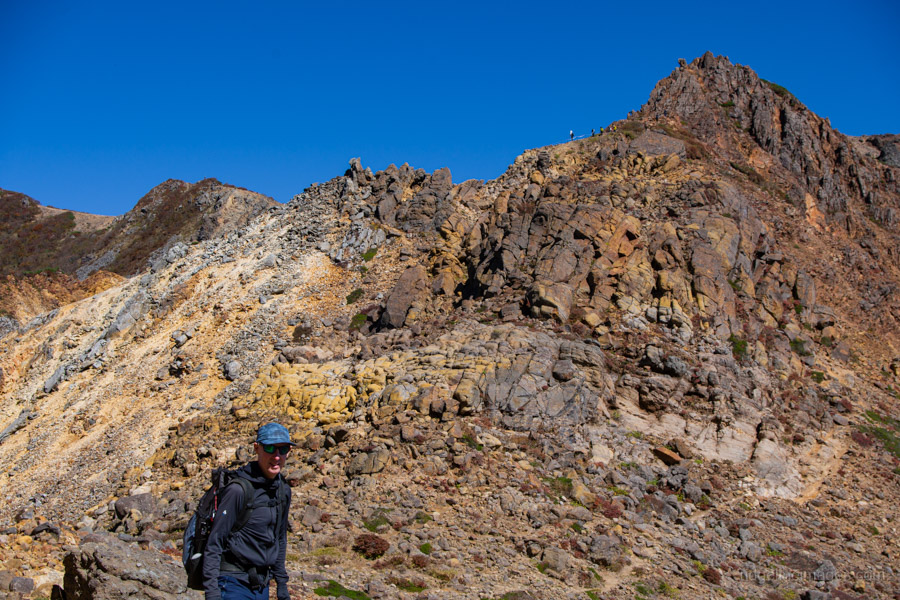
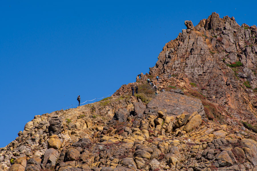
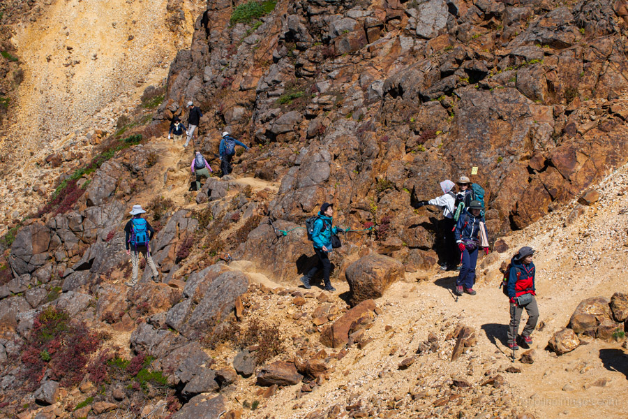
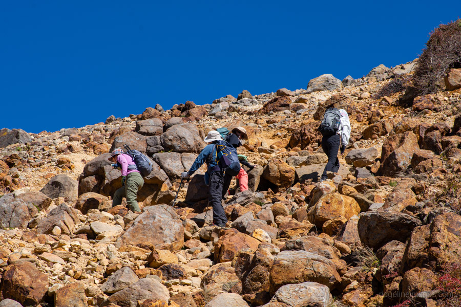
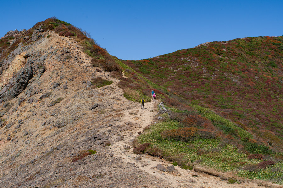
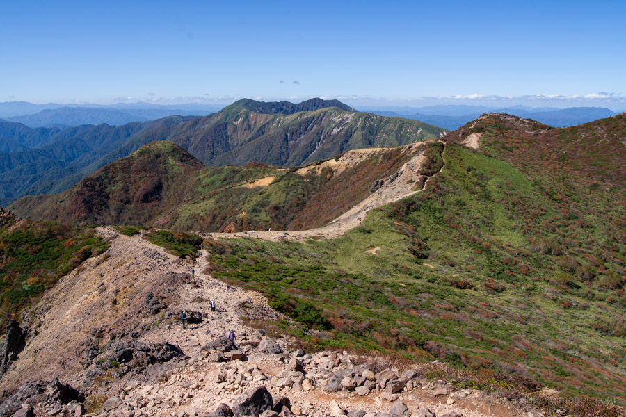
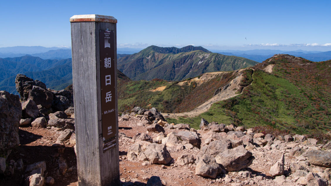
From the hut, turn right and climb towards Mt. Asahi. The terrain is covered in loose rock, so take extra care, particularly on the descent. The trail follows a rocky ridge for a while. Although the footing is generally solid and the route is not particularly difficult, there are a couple of narrow sections with fixed chains. After winding around the mountainside, the trail returns to the ridgeline and reaches a fork. Continue straight ahead towards Mt. Sanbonyari or turn right to reach the summit of Mt. Asahi 朝日岳 (1,896 m) about 10 minutes away.
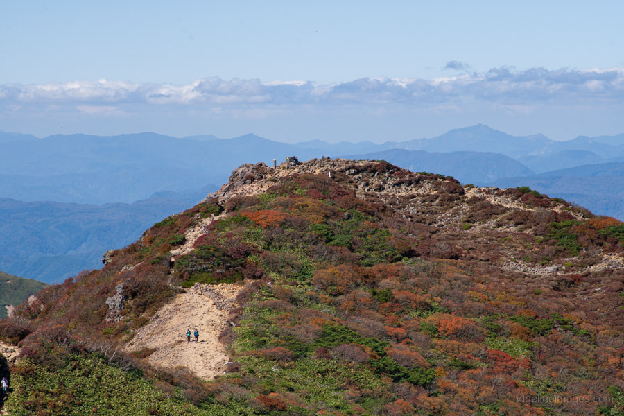
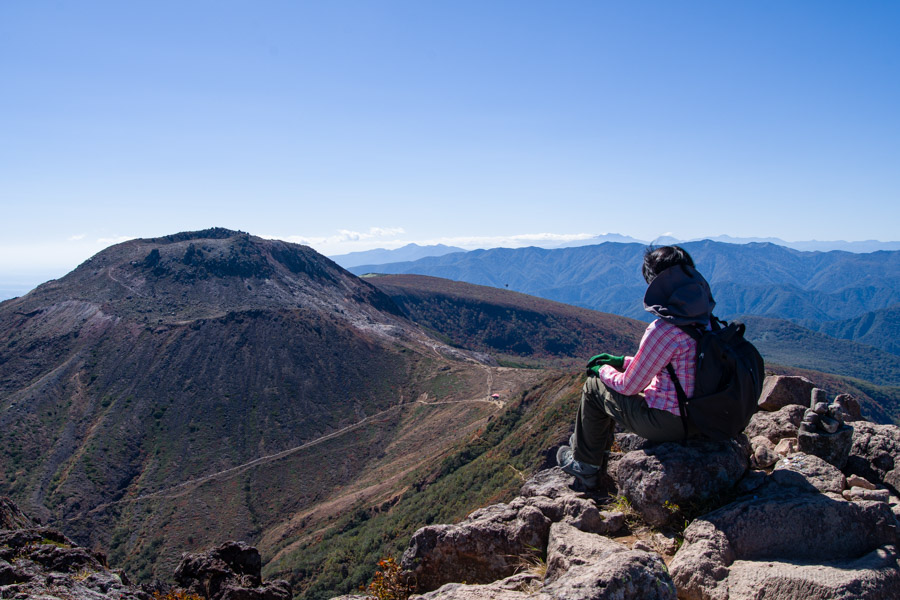
Mt. Chausu, seen from the summit of Mt. Asahi, looks remarkably like a lava dome. The view made this a good spot to stop for an early lunch and a rest. Rather than continuing towards Mt. Sanbonyari, we returned to the fork and headed back to the pass before climbing Mt. Chausu.
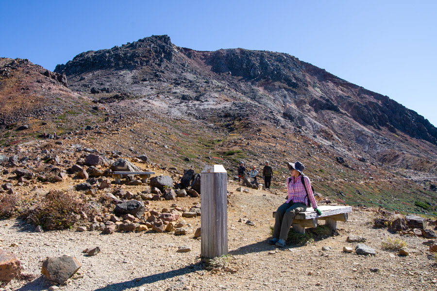
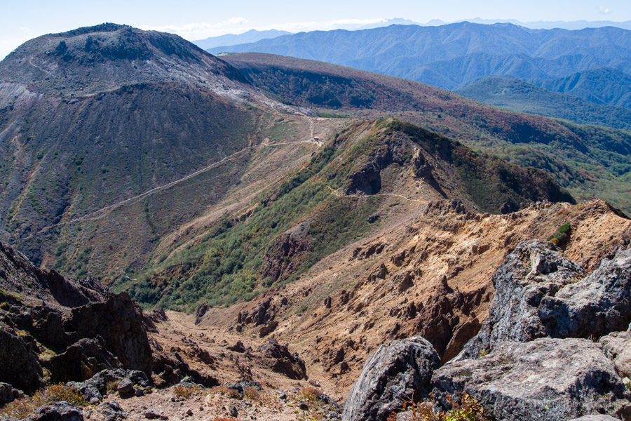
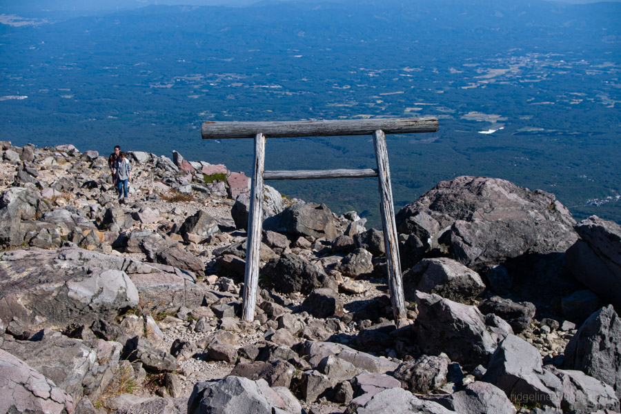
A short way uphill from the pass, a fork leads onto a trail that circles the base of the volcano. Ignore this and take the left-hand path towards Mt. Chausu 茶臼岳 (1,915 m). The trail gradually steepens as you approach the summit, with an increasingly rugged volcanic landscape unfolding around you.
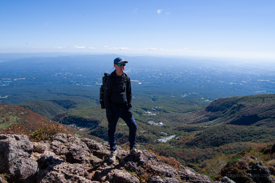
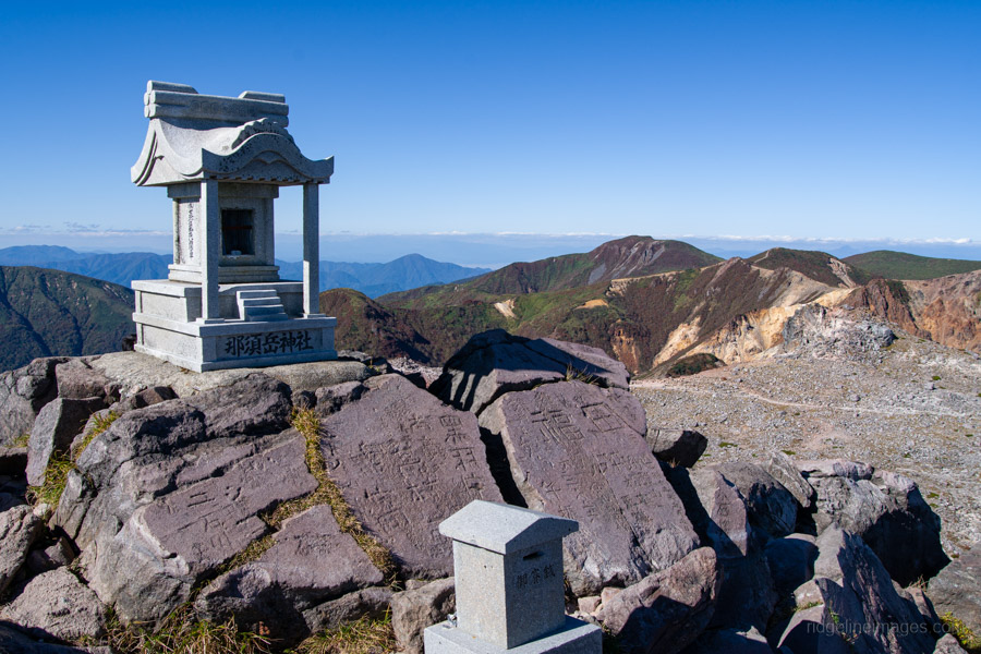
A trail circles the crater, allowing you to walk around the entire rim. With no trees to obstruct the view, the panorama from the summit is excellent. Perhaps thanks to the ropeway, Mt. Chausu feels more like a tourist attraction than a serious hiking destination, with plenty of casually dressed visitors on the mountain.
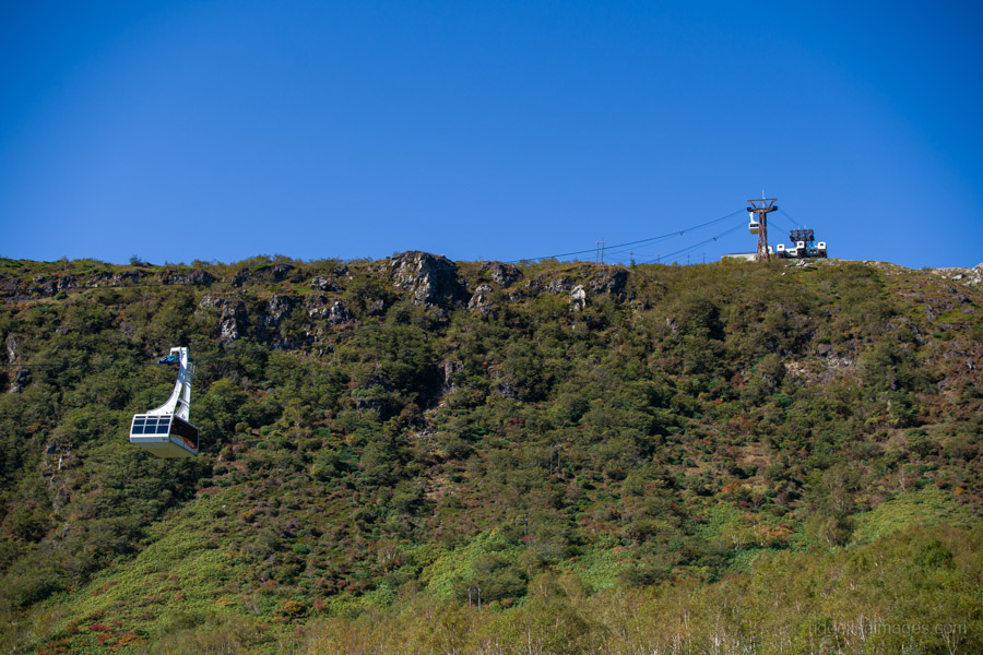
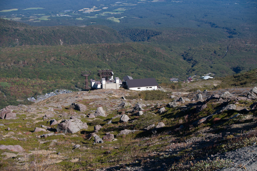
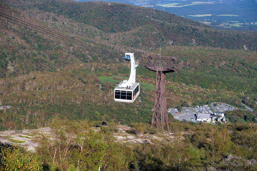
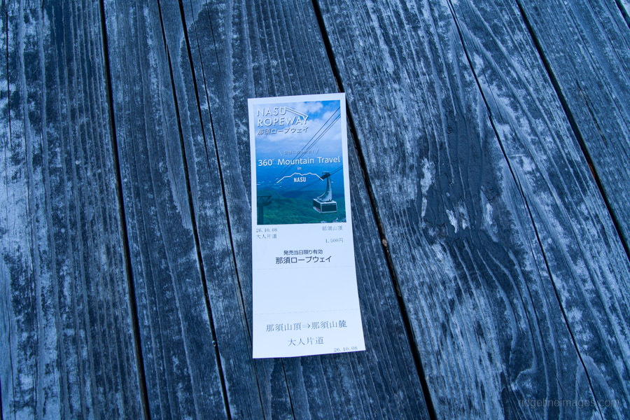
From the Chausu summit, it’s another 30 minutes downhill to the upper ropeway station. A one-way ticket costs 1,500 yen, compared with 2,000 yen for a return. Unfortunately, there’s no other trail down the mountain, so if you want to avoid the ropeway fare, your only option is to retrace your steps past the refuge hut and descend the way you came. Buses run hourly from Nasu Ropeway Station back to Nasushiobara Station, with the last departure at 4:30 pm.