.
Wada Hut 和田小屋 – Kaguragamine 神楽ヶ峰
Distance: 13.9 km
Elevation change: 925 metres
Highest point: 2145 metres
Start: Carpark below Wada Hut
Finish: Carpark below Wada Hut
Difficulty: ▅▅▅▅▅▅▅▅▅▅ ❹
Map: Yama to Kogen Chizu 山と高原地図 [No.16 谷川岳 TANIGAWA-DAKE]
GPX TrackKML TrackGSI MAPPDF Topo Map
Autumn Hike to a Tranquil Alpine Marshland
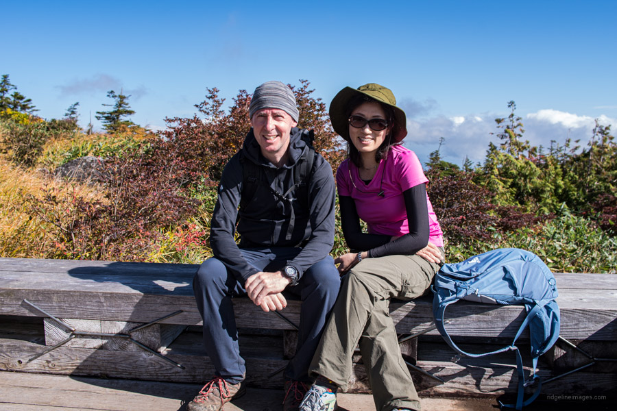
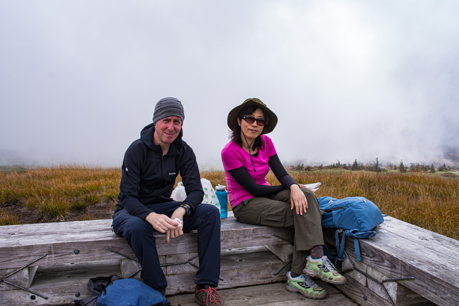
A couple of points set apart this hike from most on this blog. First is driving to the trailhead and second and importantly my wife Akiko joined me for the first time since our Mt. Kasamaruyama hike way back in 2013! And what a perfect way to break the hiatus with a brilliant trek up to the marshlands that inhabit Naebasan a Hyakumeizan straddling Nagano and Niigata Prefectures in the Joshin’etsukogen National Park.
According to the Yama to Kogen map there are no less than seven possible attack routes to the summit. All but one of these trails are accessible by public transport or cable car though expect a bit of a mission getting to their respective trailhead bus stops. The shortest approach to the summit is via the Dragondola ドラゴンドラ (3,000 yen) a 5.5 km long gondola lift line which wins the distinction as the world’s longest! Practically speaking the easiest bus stop to get to is Motohashi 元橋 a 30-minute ride from Echigo-Yuzawa Station 越後湯沢駅.
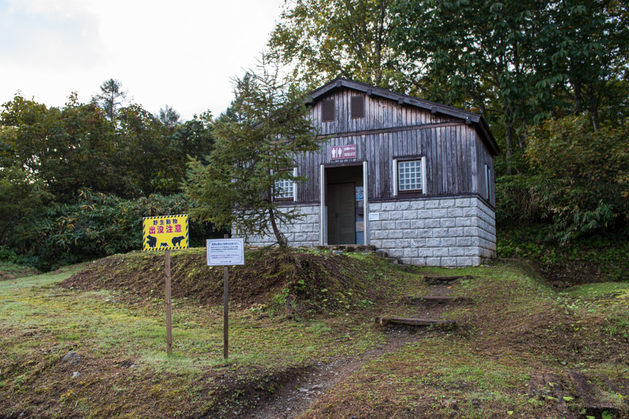
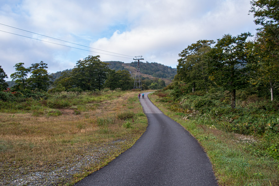
If you’re looking to knock off the mountain as a day outing the most popular route commences from the carpark 秡川登山口駐車場 below Wada Hut 和田小屋 though you’ll need a private vehicle (parking 500 yen) or take a taxi from Echigo-Yuzawa Station (6,750 yen). Ordinarily it’s possible to park beside the Wada Hut however due to COVID-19 prevention measures the hut remains closed (2020) and access up the road restricted adding an additional 45 minutes return walk time.
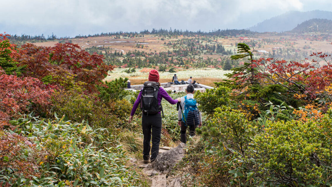
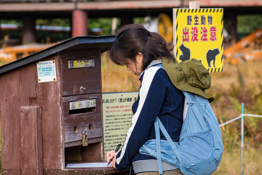
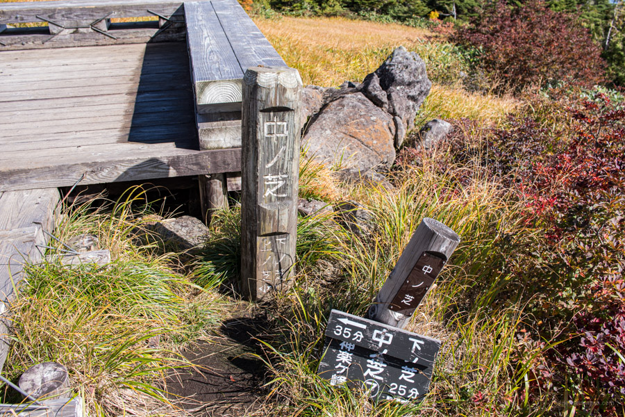
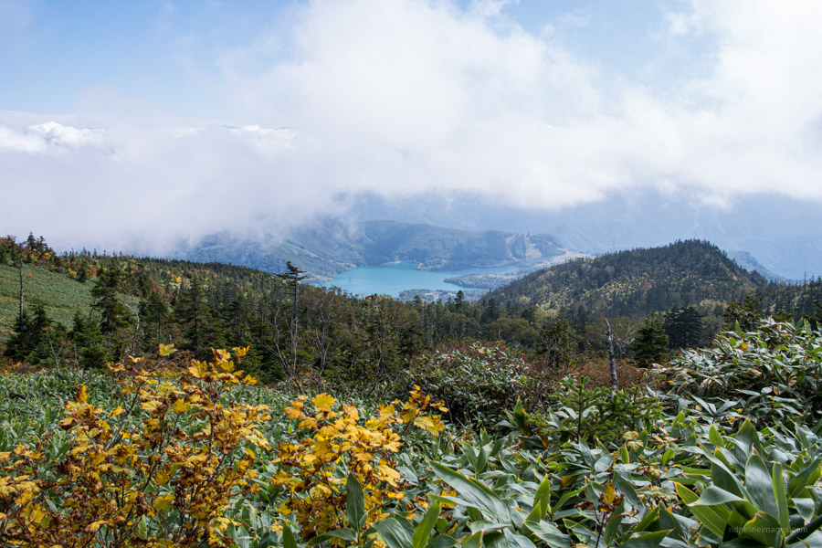
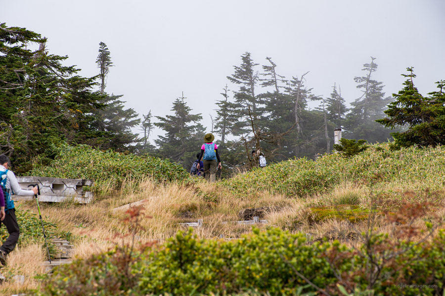
At the trailhead proper (Haraegawa course 祓川コース) you can fill out and post your hiking plan at the trailhead mailbox. After passing through a grassy field the trail begins a gradual climb through old growth oak (mizunara) and beech (buna) forest. The path for the first 90 minutes is scattered with rocks and interspersed with wooden walkways. Take care in the wet as the said rocks and walkways are more than a tad slippery. The ridge up to the first trail branch which descends to Komatsubara-kogen 小松原高原 is divided into three grass zones known as Shimonoshiba 下ノ芝, Nakanoshiba 中ノ芝, and Uenoshiba 上ノ芝. The highest zone finds some judiciously placed rough-hewn benches to sit back and admire the changing colours in autumn with Lake Kassa in the backdrop.
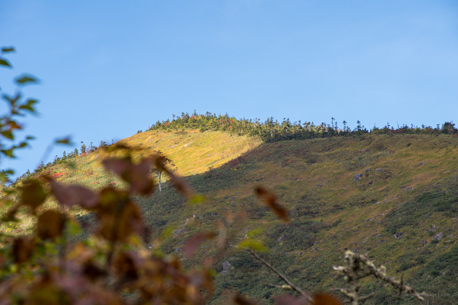
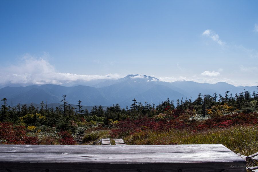
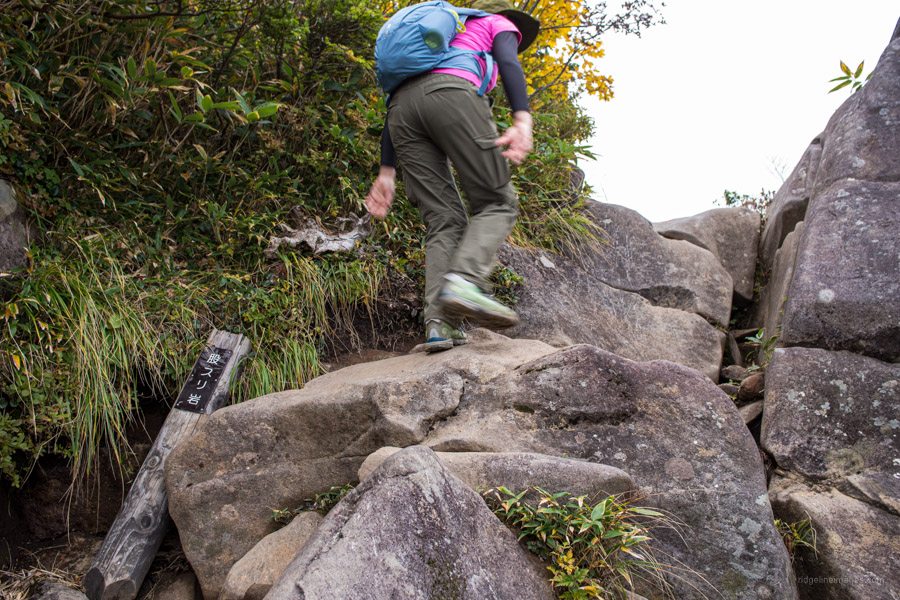
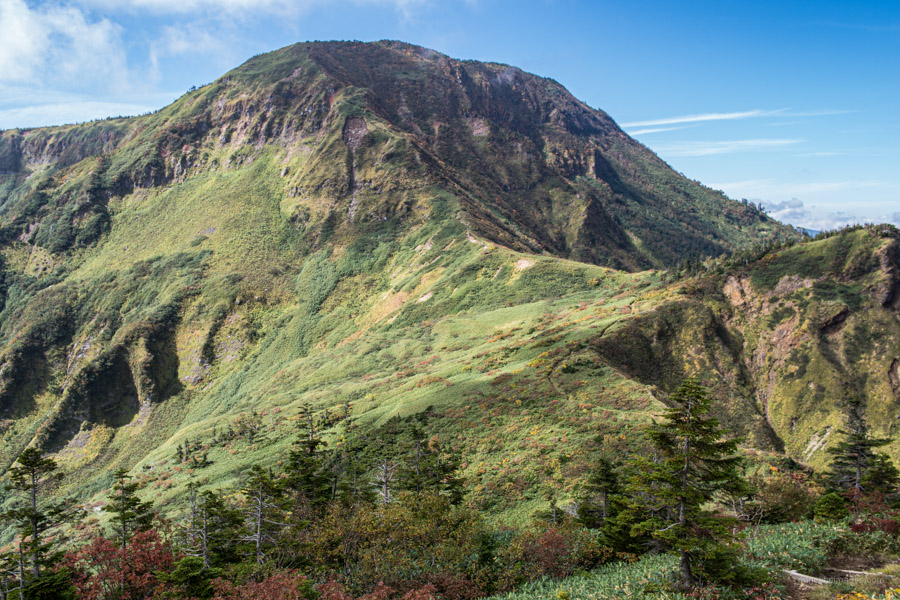
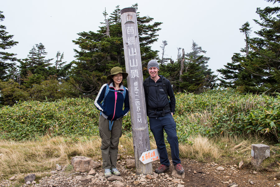
Both Kaguragamine 神楽ヶ峰 (2,029 m) and Matasuri-iwa 股スリ岩 offer a terrific first peek of the Naebasan mountaintop. From here the trail descends passing the Kaminari-shimizu water hole before dropping into a col. While Mt. Naeba 苗場山 (2,145 m) looks quite formidable in the distance there are no dangerous parts, and another hour of steady climbing should have you on the expansive summit plateau.
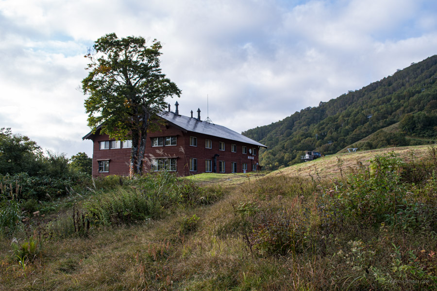
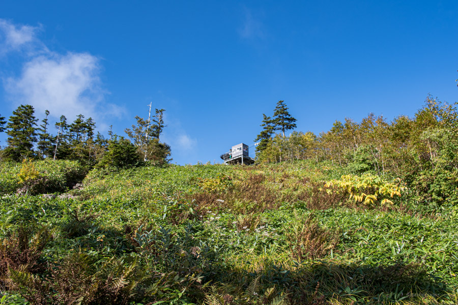
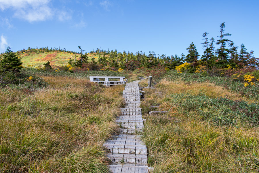
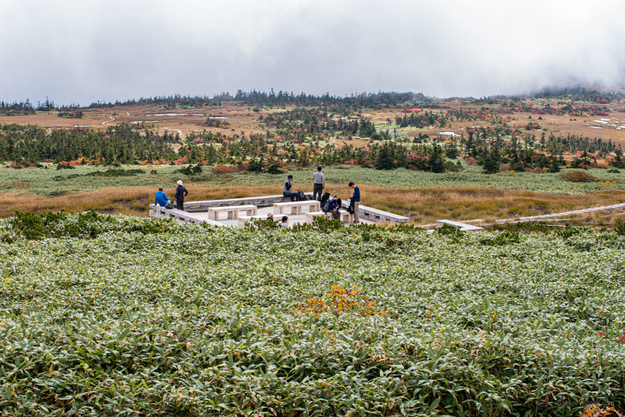
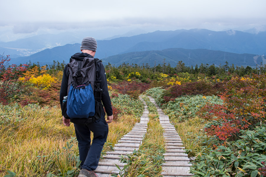
A huge plus for Naebasan is its relative remoteness which means you can likely savor the tranquil mashland with handfuls rather than boatloads that flock to easier picking such as Oze. For those looking to break up the hike over two days the option exists to spend a night at the Mt. Naeba Nature Experience Center a.ka. Naeba Sansou Hutte 苗場山山頂ヒュッテ (9,000 yen with two meals). Currently (2020) only guests staying at the hut can enter. There are plenty of wooden decks and benches to take lunch while enjoying the alpine meadows and ponds. When you are rested up it’s simply a matter of retracing your steps all the way back to the carpark.


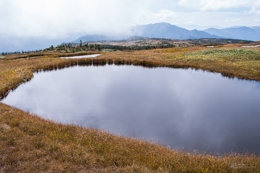
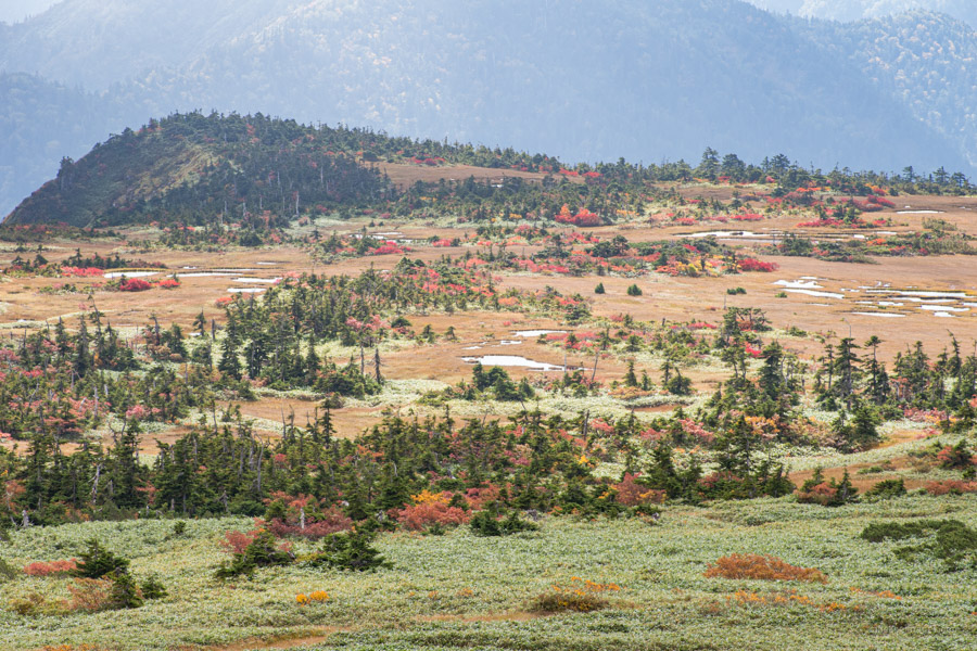


Many thanks for this write-up. Have never, alas, visited the mountain, but am always intrigued by the suggestion in Nihon Hyakumeizan that the name has something to do with rice fields. When Suzuki Bokushi climbed the mountain in 1811, he had this to say about the summit: “They say this summit is one league across. The densely vegetated expanse is flat, with nary a hummock or dimple. As the name of the mountain suggests, there are beds of seedlings here and there. Or rather it looks as if weeds resembling young rice plants are growing in fields that were made by men.” And, indeed, your photos show that it still looks much like that today …
Appreciate the footnote PH. According to the Wiki entry on Naebasan the grass-like Scirpus (a type of sedge) is what supposedly gives the mountaintop an appearance of rice fields. Thanks to the network of boardwalks and sensibilities of hikers’, fragile environments such as Mt. Naeba remain for the most part unspoiled.