.
Tsubame Onsen 燕温泉線 – Mt. Myoko 妙高山 – Mt. Hiuchi 火打山
Distance: 24.3 km
Elevation change: 1292 metres
Highest point: 2462 metres
Start: Tsubame Onsen Bus Stop
Finish: Sasagamine Bus Stop
Difficulty: ▅▅▅▅▅▅▅▅▅▅ ❹
Map: Yama to Kogen Chizu 山と高原地図 [No.18 妙高・戸隠・雨飾 MYOKO·TOGAKUSHI·AMAKAZARI]
GPX TrackKML TrackGSI MAPPDF Topo Map
From Rocky Ridges to Wetlands and Ponds
This overnight hike takes in two of Niigata’s finest mountains namely Myoko-san and Hiuchi-yama. While similar in height they are very different creatures; Mt. Myoko is horseshoe-shaped caldera whilst Mt. Hiuchi is dotted with tranquil marshlands. Both are located within the recently established (2015) Myoko-Togakushi renzan National Park spanning Nagano and Niigata prefectures. These Hyakumeizan are commonly tackled as an out and back piston or combined as was done on this hike into an extended two or three day visit. If you intend to complete the hike in two days, it’s better to start from Sasagamine and summit Mt. Hiuchi on the first day.
Day 1: Hot Springs in the Mountain Foothills (4.9 km)
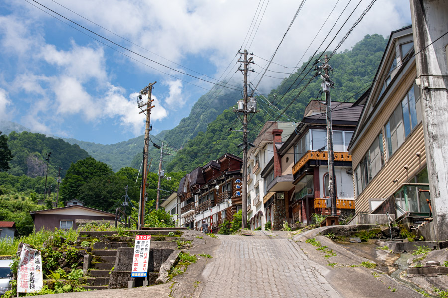
Getting to the Tsubame Onsen 燕温泉線 one of four approaches to Myoko-san requires taking a Shinkansen to Nagano Station transferring the Shinano Railway Kita-Shinano Line for Myoko-Kogen Station followed by the Myoko Haneuma Line one stop to Sekiyama Station. These third-sector railway lines were once part of JR Group but have since been divested. From Sekiyama Station there are four morning bus services to Tsubame Onsen (30 mins, 500 yen).
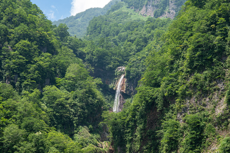
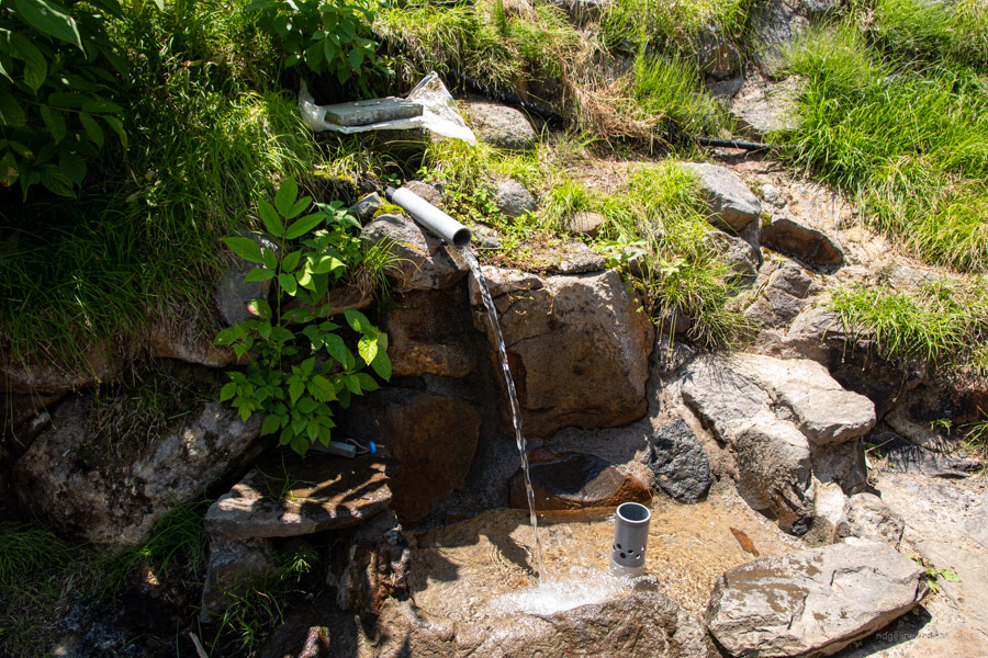
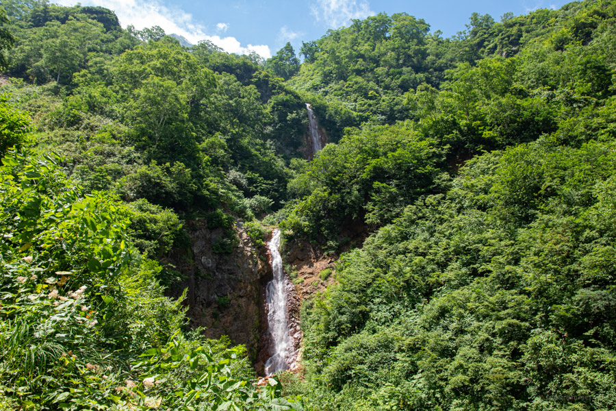
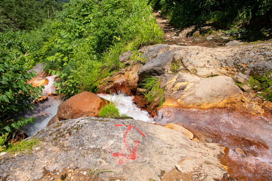
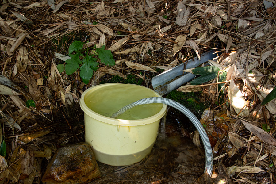
From the bus stop head up hill passing a free open-air bath with milky-white hot spring water an ideal final stop for those doing the hike in reverse. There is a good view of So Falls 惣滝 one of Japan’s top 100 waterfalls. About 45 minutes’ walk from the bus stop finds a water hole outside the Akakura Onsen Minamoto-yu 赤倉温泉源湯 the only spot to fill your water bottles until the Otani Hyutte. Also, look out for two prominent waterfalls the Komyono 光明滝 and Shomyo 称明滝 falls.
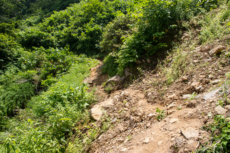
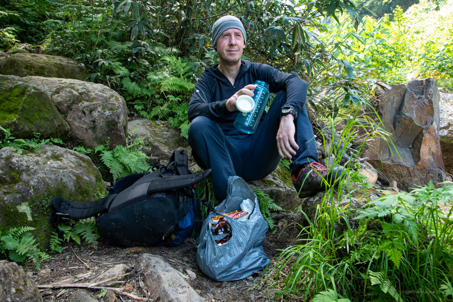
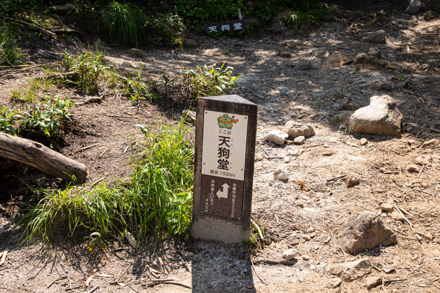
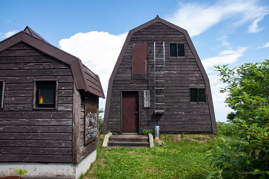
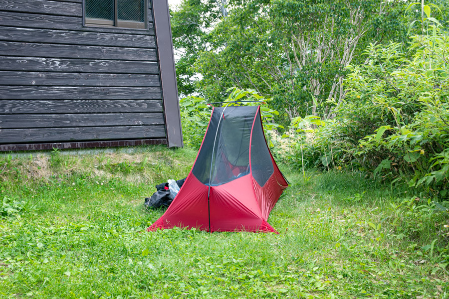
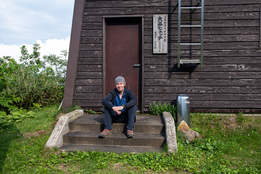
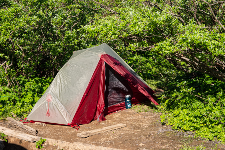
The trail steepens before arriving at a minor river crossing above the falls. Be careful crossing here after heavy rain. Trail erosion is noticeable in parts with the occasional rope to cling onto. The next landmark to look for is a trail branch at Tengudou 天狗堂. Turn left here for a short descent to the Otani Hyutte 大谷ヒュッテ futons and toilets available (free). The refuge hut is perched on a grassy knoll overlooking Myoko Kogen with a distinct sulphurous smell that emanates from the Minami Jigokudani 南地獄谷. There is a small area to set up your tent outside. A well-marked water hole is downhill from the gravel carpark. From August 7 to November 7 (2021) it’s possible to go down the mountain via the Myoko Kogen Sky Cable (1,400 yen one-way).
Day 2: Steep Ascent with Fixed Chains (7.5 km)
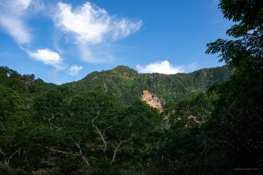
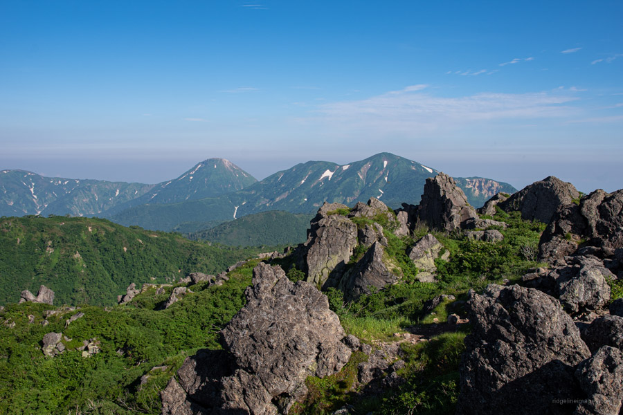
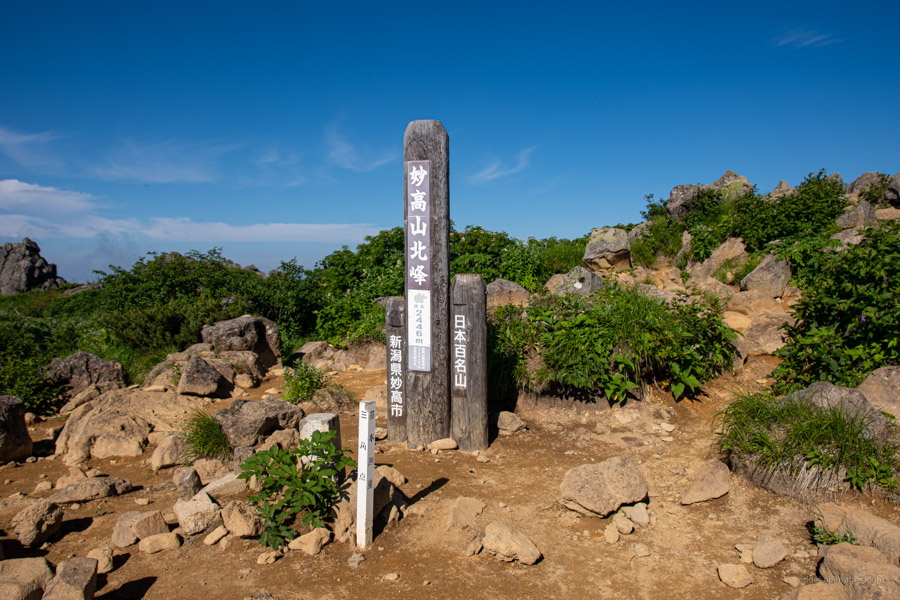
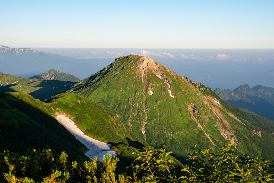
The previous evening, sleeping without the rainfly made for some wonderful star gazing. When you’re ready to head off retrace your steps back to Tengudou and this time continue straight ahead towards Myoko-san. After a steady hour of climbing above the volcanic fumaroles there is an exposed section though well protected by chains. Mt. Myoko’s 妙高山 south peak (2,454 m) is the official summit and affords a great view of Mt. Hiuchi 5.3 km to the northwest. A short saunter across the rocky summit finds the north peak (2,446 m).
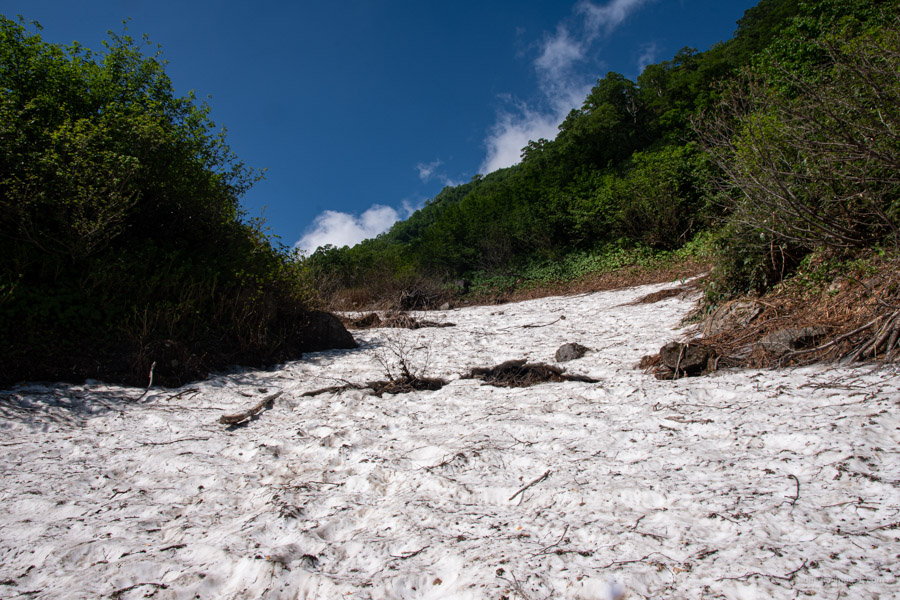
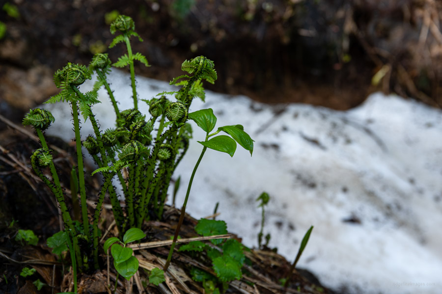
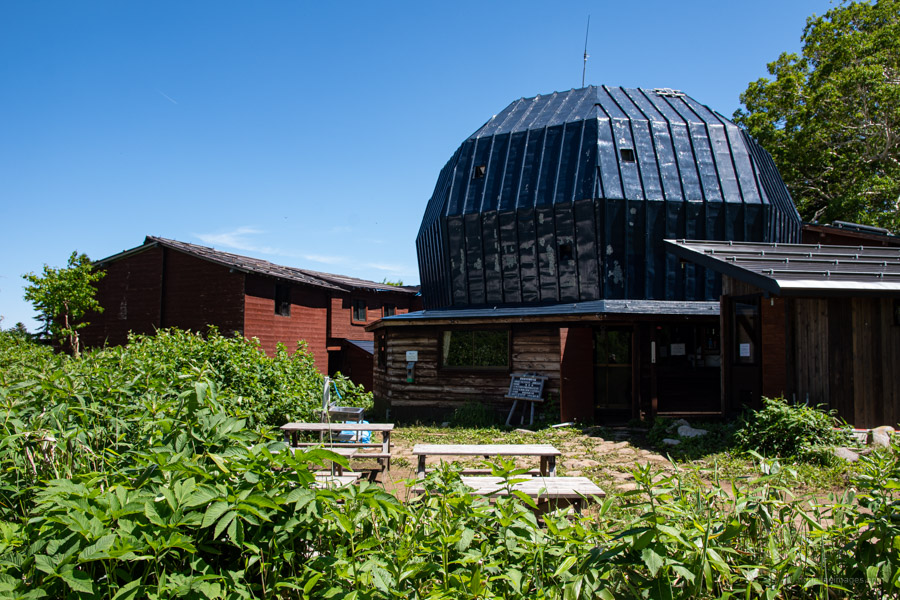
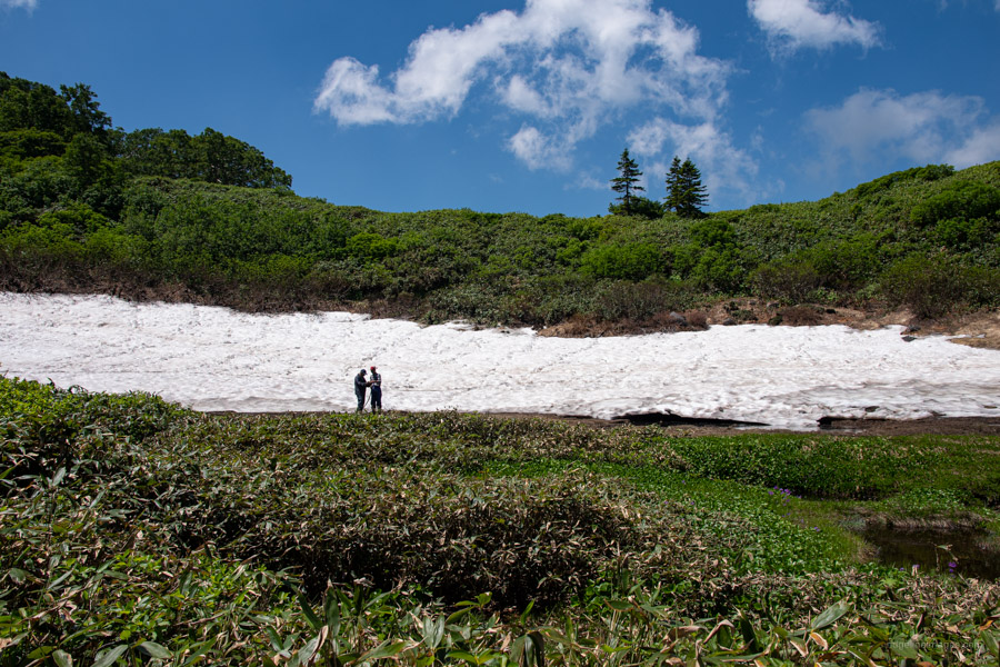
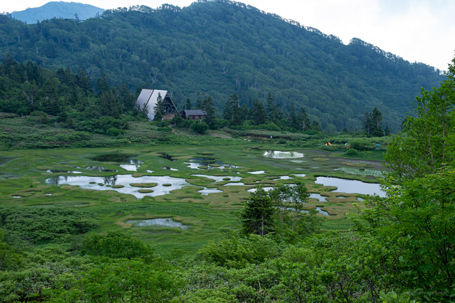
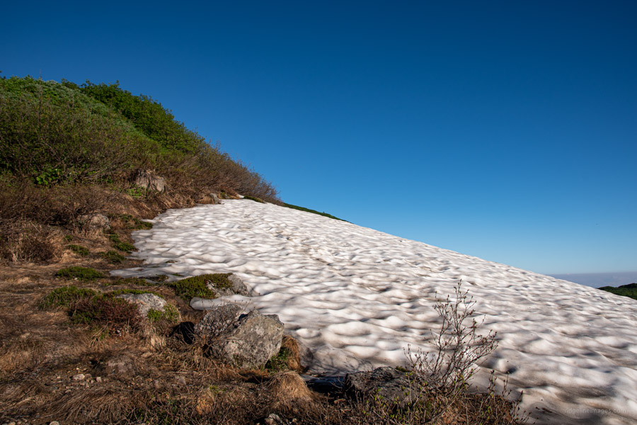
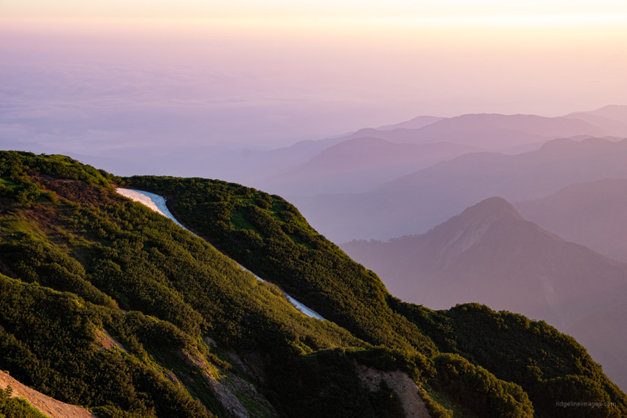
From the summit the trail descends quite steeply through dense forest and boulders to Okura nokkoshi. Even in mid-July snow remains in the shaded valleys though regular hiking shoes will suffice. Returning to mid-morning heat the path progresses through deep undergrowth to a ridgeline before dropping down to the blue dome-shaped Kurosawa Hyutte 黒沢池ヒュッテ. Caution is needed as sections of trail are narrow and unstable. I would advise collecting water here and carrying it to the Koyaike Hyutte which is currently dry. The water at both mountain huts requires treatment such as boiling. The final climb up to Mt. Chausu 茶臼山 (2,171 m) across to the Koyaike Hyutte 高谷池ヒュッテ is gradual with some superb views of the surrounding marshlands. Nearer to the hut there are tracks of Abies mariesii (Maries’ fir or Oshirabiso) on the cool wet mountainsides.
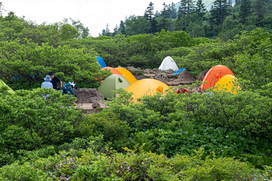
The campsite (1,000 yen) sits adjacent to the charming Koya-ike. It’s a very popular place to camp so try to arrive early to secure a good position. As mentioned above one major issue with this campsite is the unreliable water supply. How and why, they haven’t devised a means of rainwater collection is baffling especially given how well the hut is patronised and that a new building was completed in 2020.
Day 3: Gentle Mountain Slopes Await (11.9 km)
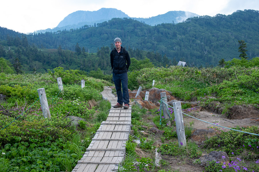
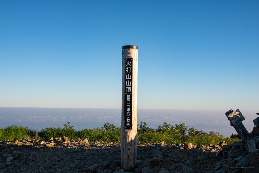
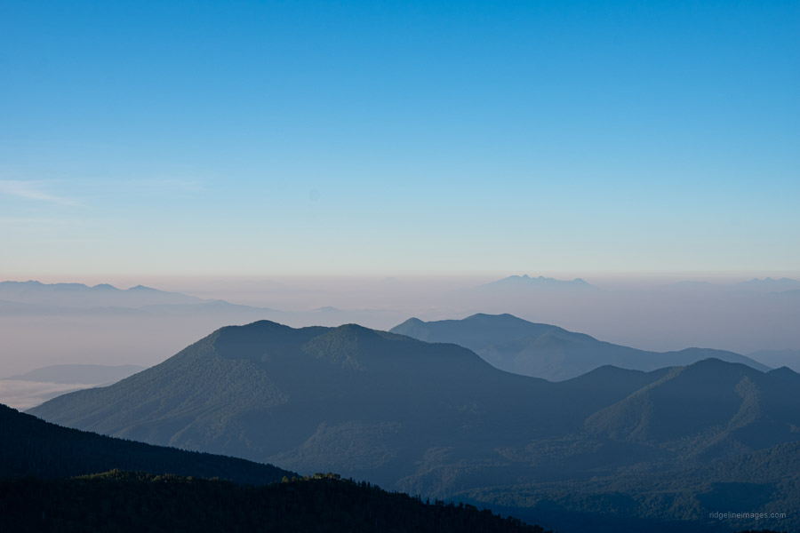
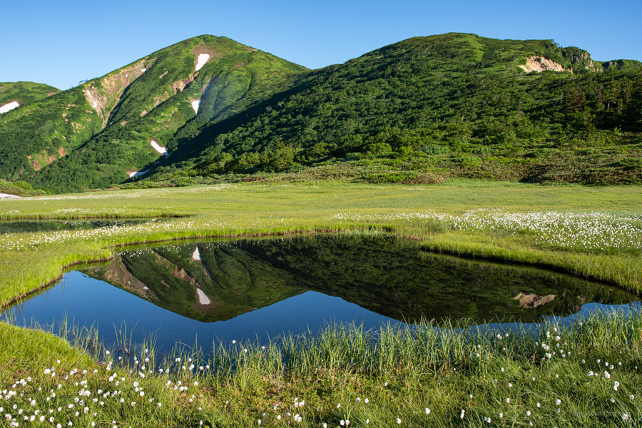
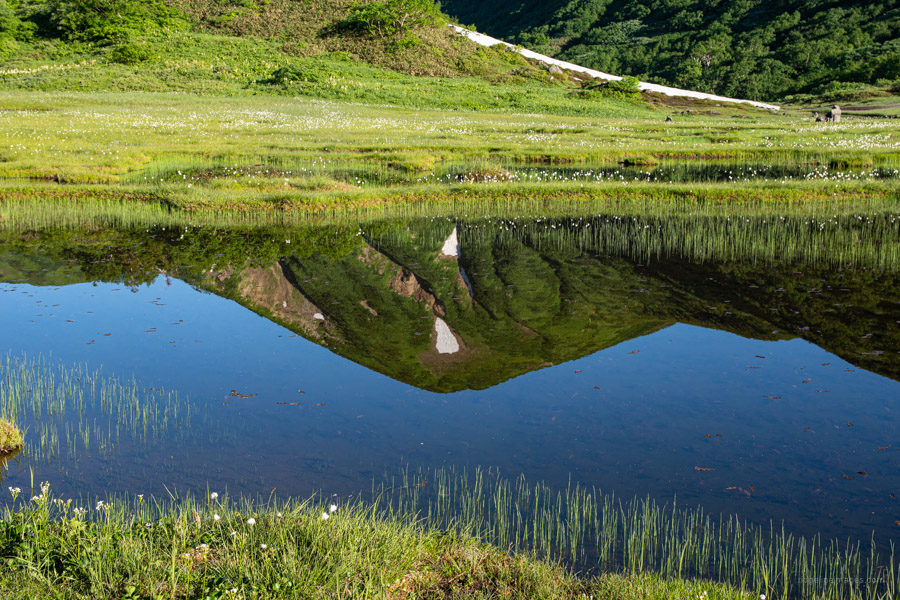
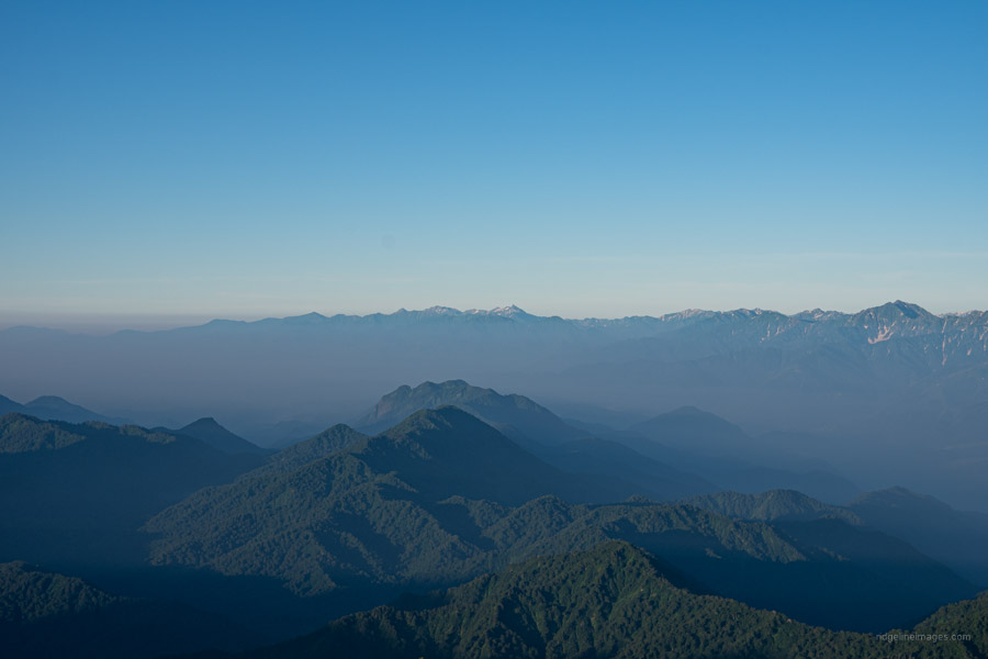
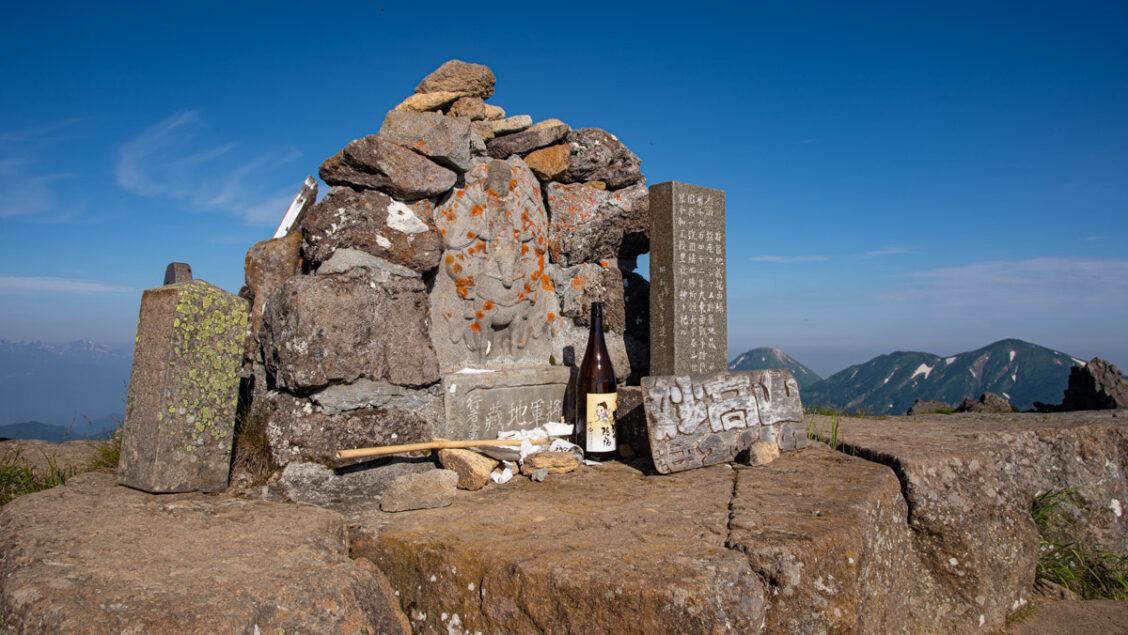
Overnight condensation is usually a fair sign of clear conditions. Wasting little time I grabbed my headlamp, camera, water, and snacks and exited the tent at 4 am. The trail down to the Tenguno-niwa 天狗の庭 is shored up with wooden board walks to protect the fragile environment. In clear weather the marshlands deliver a shimmering reflection of the treeless Hiuchi-yama. From Tenguno-niwa to the summit isn’t particularly taxing and you should find yourself atop Mt. Hiuchi 火打山 (2,462 m) in about an hour. About half way up is Raichodaira ライチョウ平 apparently a good spot for viewing Rock ptarmigan. The view is a veritable a who’s who of Hyaku-meizan classic’s including the likes of Mt. Yari, Yatsugatake, Mt. Kinpu and even Fuji-san 180 km away. Closer by is the cone shaped Niigata Yakeyama 新潟焼山 an active volcano.
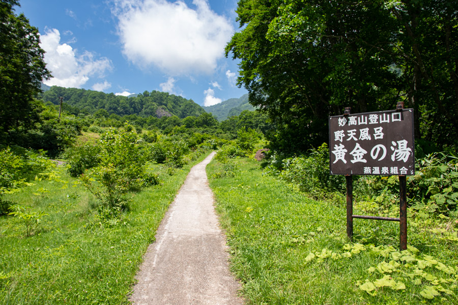
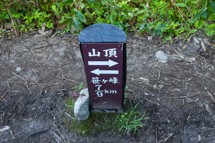
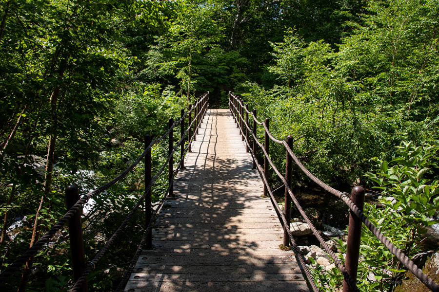
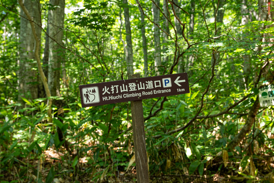
Return to Koya-ike, break camp, and look for a sign for Sasagamine 笹ケ峰. The descent to Fujimidaira 富士見平 is relatively benign but steepens shortly thereafter culminating in the Jyuni-magari 十二曲り or twelve turns. A nice spot to rehydrate and take a quick breather is a fast-flowing river at the Kurosawa Bridge. With the hard work out the way it’s a matter of following the trail through beech forest to a vehicular road where there is sign pointing to the Mt. Hiuchi Climbing Road Entrance. An infrequent bus for Myoko-Kogen Station (50 mins, 1,000 yen) departs from the far side of the carpark.