.
Konpira-kyu 金比羅宮 – Mt. Daidosan 大同山 – Mt. Momokurayama 百蔵山
Distance: 10.2 km
Elevation change: 683 metres
Highest point: 1003 metres
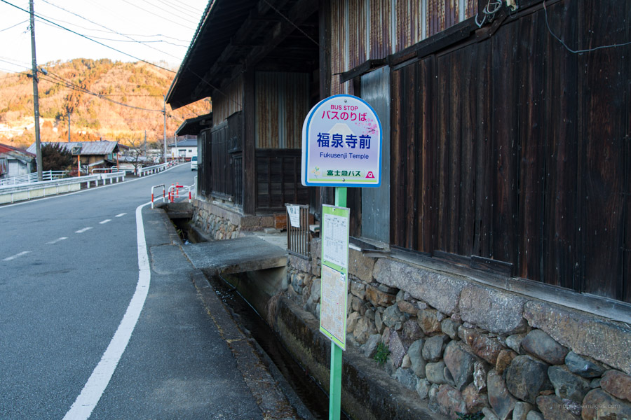
Start: Fukusenji-mae bus stop
Finish: Saruhashi Station (Chuo Main Line)
Difficulty: ▅▅▅▅▅▅▅▅▅▅ ❸
Map: Yama to Kogen Chizu 山と高原地図 [No.29 高尾・陣馬 TAKAO·JINBA]
GPX TrackKML TrackGSI MAPPDF Topo Map
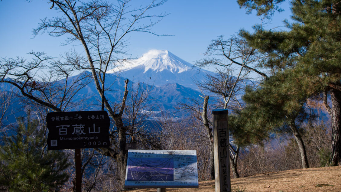
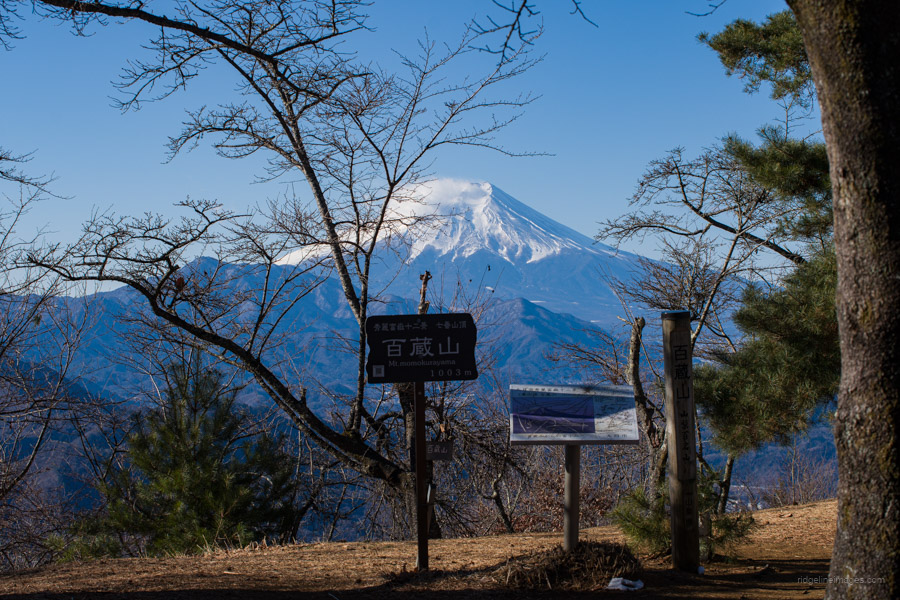
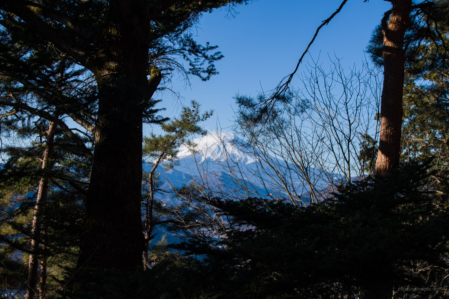
Fuji Views from Momokurayama
Mt. Momokurayama is a beginner-friendly mountain located in Otsuki City. It rises to just over 1,000 metres and is one of the 100 Famous Mountains of Yamanashi. Due to its accessibility from the JR Chuo Main Line and its stunning view of Fujisan, it is a popular spot for hikers year-round. Momokurayama is often climbed together with Mt. Ougiyama to the east. Along with Mt. Gongen to the north-east, this trio of mountains is collectively known as the Kitatsuru Sanzan 北都留三山. Cherry trees are planted on the summit, allowing hikers to enjoy cherry blossom viewing in mid-April. This hike marked my fourth visit to Momokurayama.
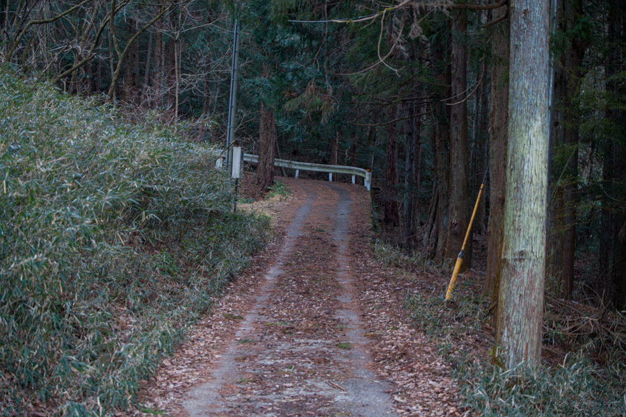
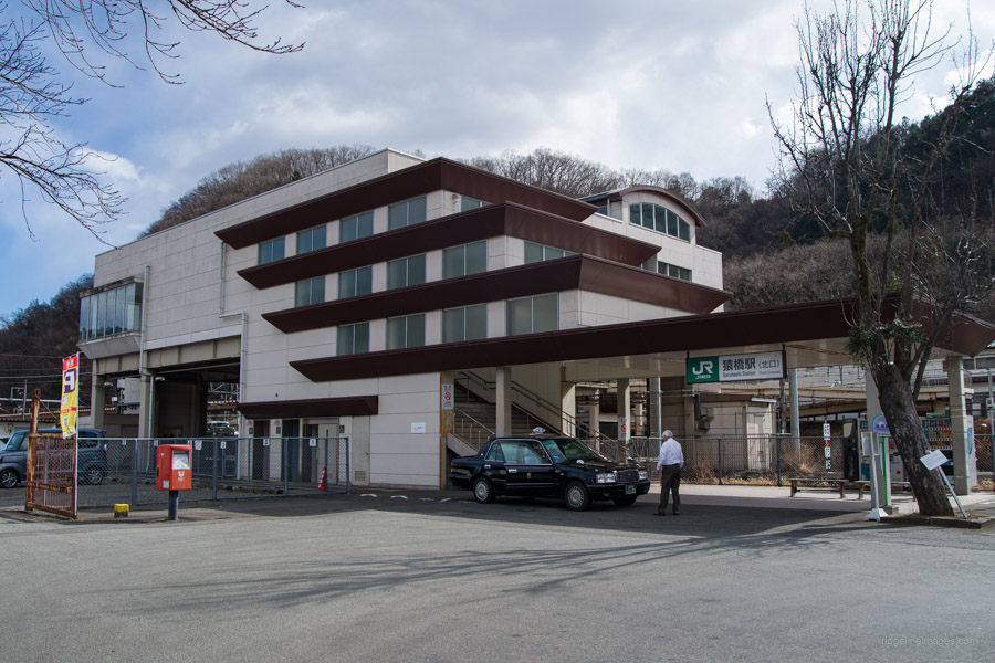
The hike begins at Saruhashi Station 猿橋駅, about 90 minutes from Shinjuku. From the station, head out the north exit and down the stairs to the bus waiting area. If you’re an early bird like me, then you’re in luck – the first morning bus departs at 6:53 AM on weekdays, though it runs later on weekends. While the hike can be started directly from the station as part of a loop course, a better option is to take a short bus ride to the Fukusenji-mae 福泉寺前 bus stop (13 minutes, 270 yen). The official trailhead bus stop is Tonami-iriguchi 戸並入口, but the former is more convenient as it’s near some drink vending machines.
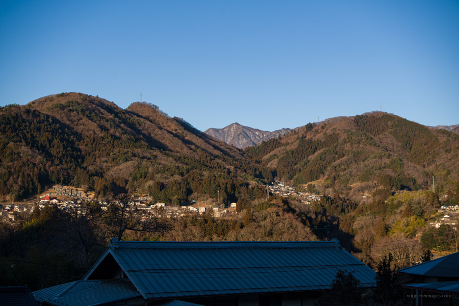
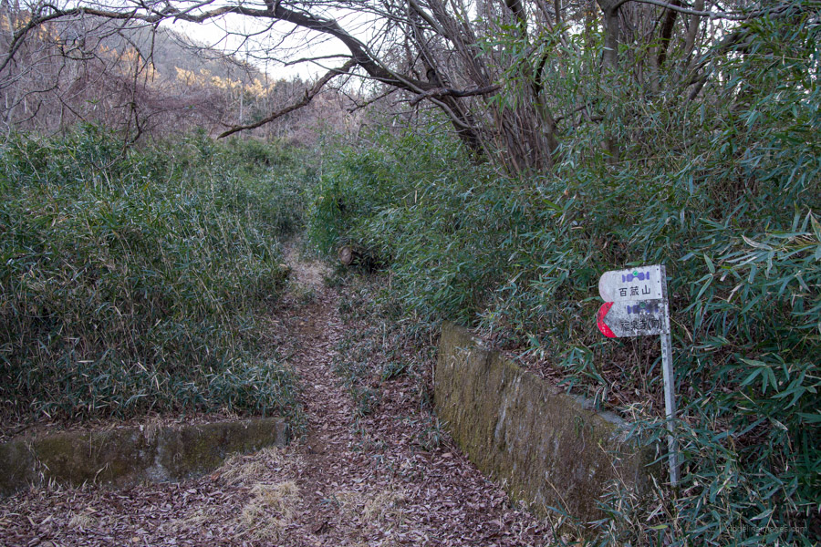
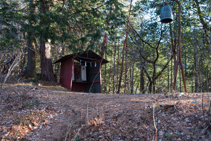
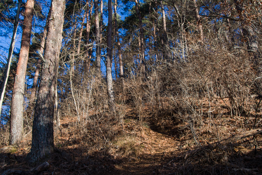
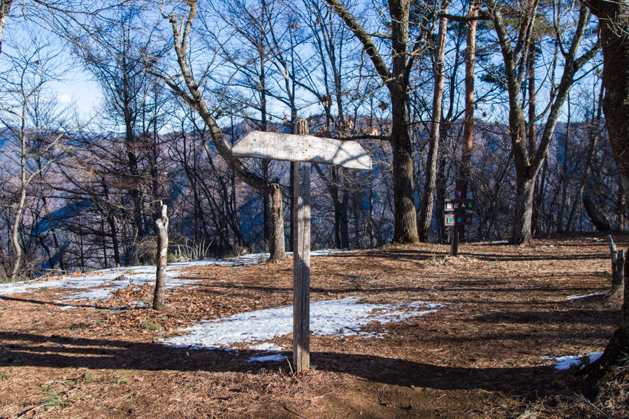
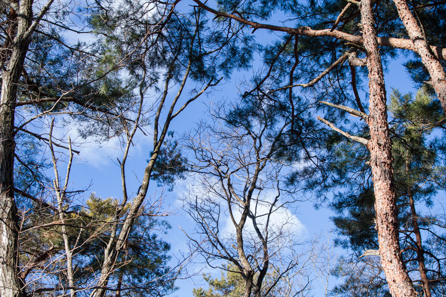
From the bus stop, begin winding through quiet backstreets, passing through the township. It takes about 20 minutes to reach the trailhead proper. The trail starts off gently before steepening as you approach Konpira-kyu 金比羅宮, a small mountain shrine. The steep climb continues past another, smaller shrine as you progress towards the ridgeline. Unfortunately, there are no clear vantage points of Mt. Fuji, as it is obscured by vegetation.
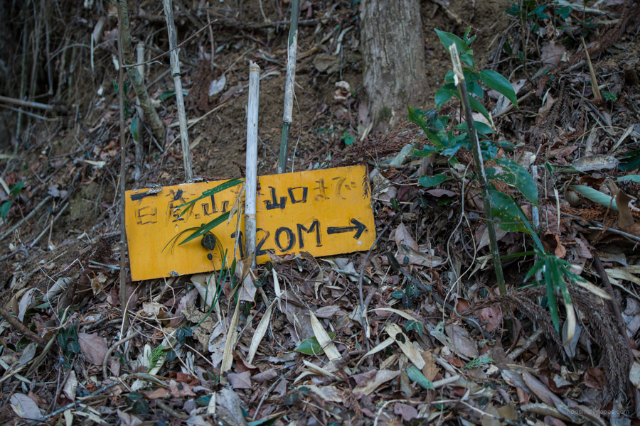
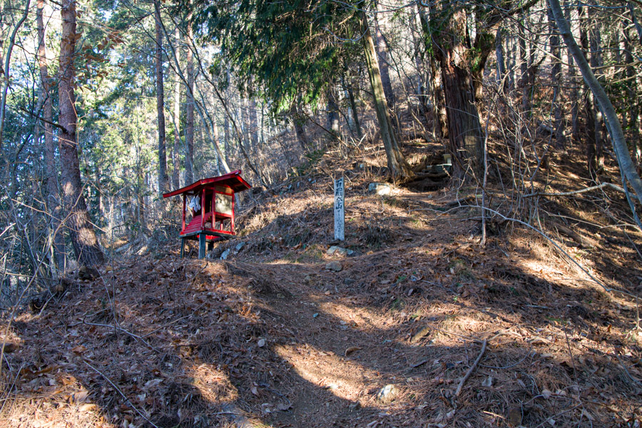
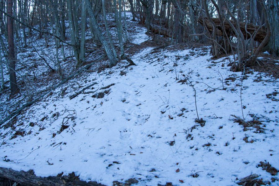
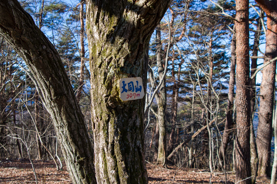
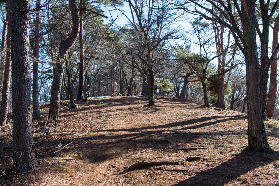
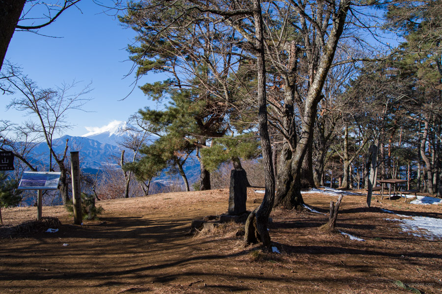
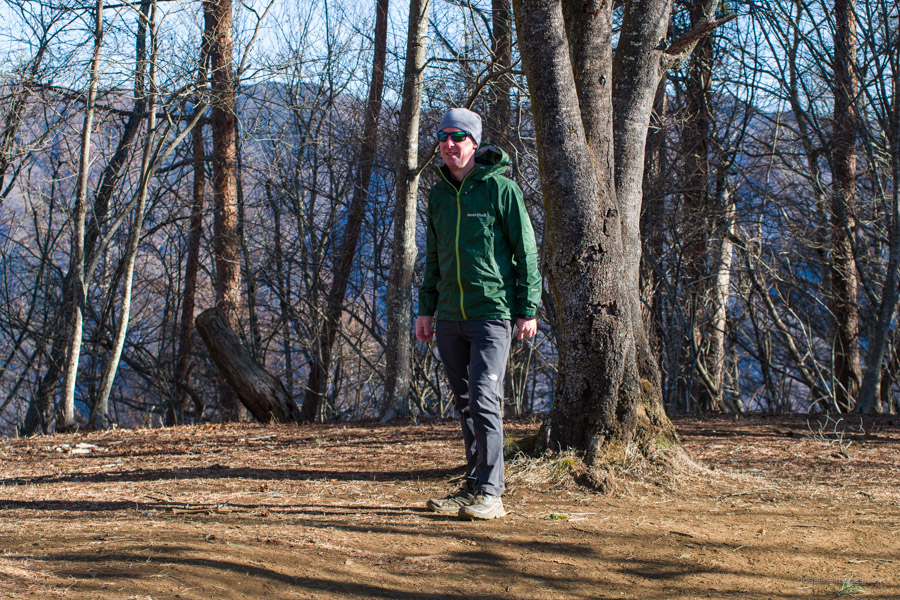
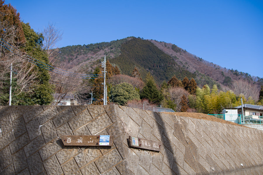
Along the ridgeline, I came across a small amount of snow, though not enough to warrant putting on my chain spikes. Just before reaching Omotetozando-bunki 表登山道分岐, look out for Mt. Daidosan 大同山 (907 m), which is just off the trail and marked by a signpost affixed to a tree. From here, it’s only 15 minutes further to Mt. Momokurayama 百蔵山 (1,003 m). The hike from the bus stop took about 1 hour and 45 minutes to reach the spacious, sunbathed summit. Fujisan had yet to be cloaked in clouds, and I had the summit entirely to myself the whole time I was up there.
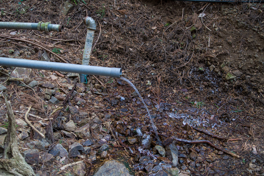
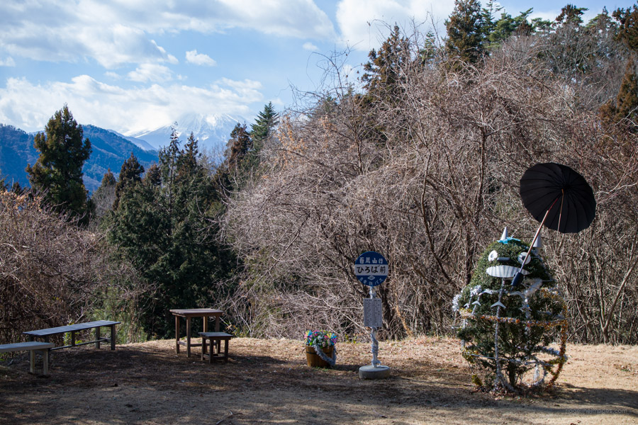
When you’re ready to descend, return to Omotetozando-bunki and begin a relatively steep descent through a plantation forest. About halfway down, there’s another Fujisan viewpoint, though partially obscured by trees, as well as a water source a little further along. After passing some restrooms and a garish-looking Totoro installation, continue following the road through the township. Turn right at the fork, pass the sports ground, and duck under the Chuo Expressway.
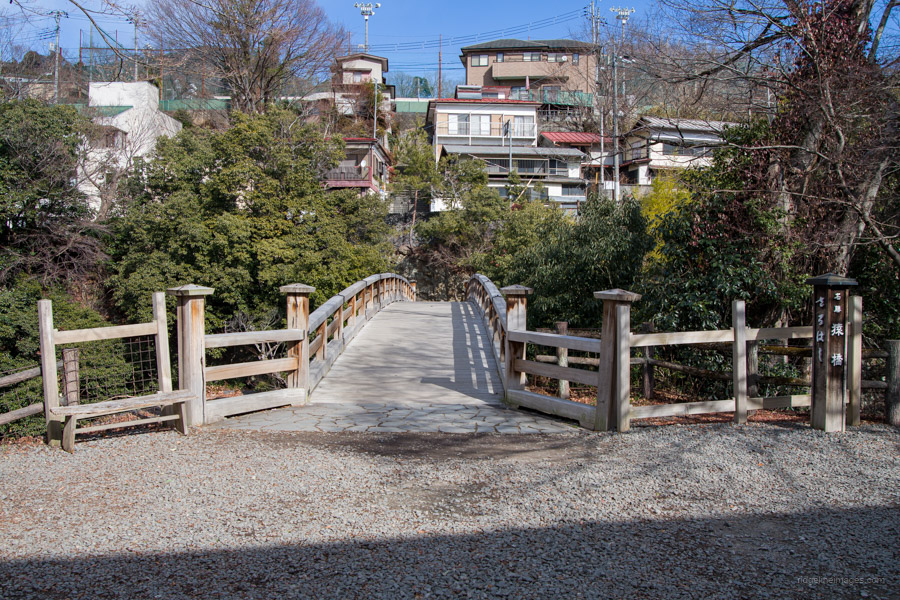
Rather than heading straight back to Saruhashi Station, it’s worth detouring past Saru-hashi Bridge 猿橋, renowned for its unique design that lacks bridge pier supports. It is a popular attraction, especially for its beautiful hydrangeas in June and vibrant autumn foliage in November. From the lower observatory area, you can take a shortcut along the Katura River and through Saruhashi-koen to return to the main road.


Stunning photos! Loved the Totoro! I live in Kyushu, this past week I’ve spent huddled up next to my heater! I’m going to have a look at your other hikes!!
Thanks, Jackie! Glad you liked the Totoro. Hope you’re staying warm down in Kyushu. I hope some of the other hikes catch your interest. 🙂