.
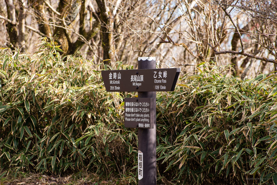
Kintoki-jinja Shrine 金時神社 – Mt. Nagao 長尾山 – Otome-toge 乙女峠
Distance: 6.3 km
Elevation change: 517 metres
Highest point: 1212 metres
Start: Kintoki Jinja Iriguchi Bus Stop
Finish: Kintoki Jinja Iriguchi Bus Stop
Difficulty: ▅▅▅▅▅▅▅▅▅▅ ❷
Map: Yama to Kogen Chizu 山と高原地図 [No.32 箱根 HAKONE]
GPX TrackKML TrackGSI MAPPDF Topo Map
A Beginner Friendly Mountain Famed for the Legend of Kintaro
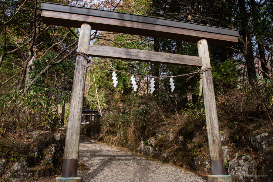
Mt. Kintoki also known as Mt. Ashigara is located along the border of Kanagawa and Shizuoka prefectures in the Fuji-Hakone-Izu National Park. Apart from some dazzling views from the summit it reaps most of its fame for its association with Japanese folklore warrior Sakata Kintoki (Kintaro). There is even a shrine dedicated to him and his herculean powers at the trailhead. Being not too far from Tokyo and a relatively easy climb for the moderately fit makes it a popular year-round destination. The mountain has a number of hiking courses. The three in the south are the Kintoki Jinja Iriguchi, Kintoki Tozan Guchi and Otome-toge. There is also the Ashigara-toge course to the north.
For this hike, my wife and I drove to the Kintoki Jinja Iriguchi 金時神社口 trailhead. If you arrive early there is a small number of free carparking spaces otherwise there is a paid carpark beside the Kintoki Golf Driving Range (500 yen). As for public transport take the Hakone Tozan Bus (Route L, bus stand 3) from Hakone-Yumoto Station bound for Otome-toge and alight at Kintoki Jinja Iriguchi (24 mins, 840 yen). Alternatively, take the Odakyu Hakone Express Bus Hakone Line from Shinjuku Express Bus Terminal (Busta Shinjuku) in the south exit of Shinjuku Station and get off at Kintoki Jinja Iriguchi (2 hrs, 1,940 yen).
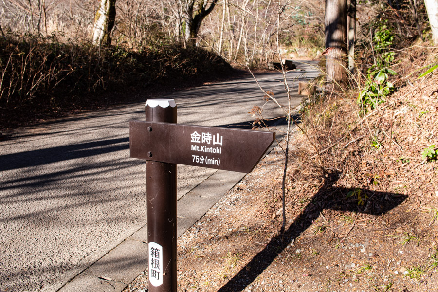
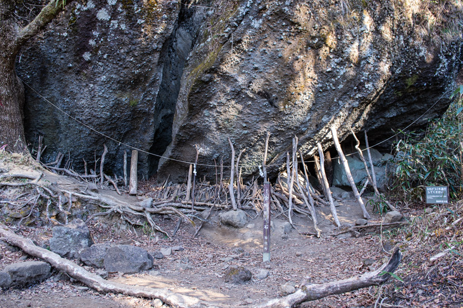
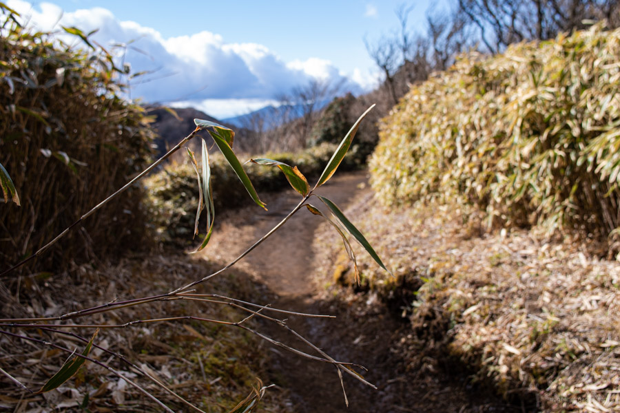
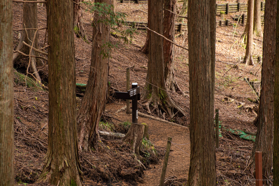
The trailhead proper is just past the golf range a short walk from the Kintoki Jinja Iriguchi Bus Stop. The trail begins climbing through cedar forest with a paved forestry road reached after 10 minutes. A little further on you’ll pass the giant Kintoki Yadoriishi Rock split down the middle and not surprisingly attributed to the boy wonder himself. Due to the large number of climbers, the trail here has suffered significant soil erosion causing the tree roots to become exposed. Currently, efforts are afoot (excuse the pun) by local volunteers to restore the vegetation and repair the trail.
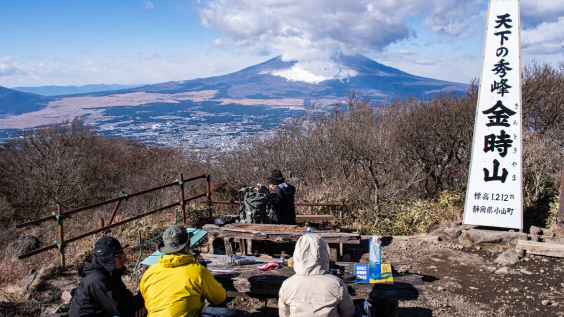
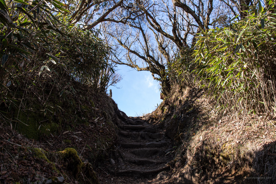
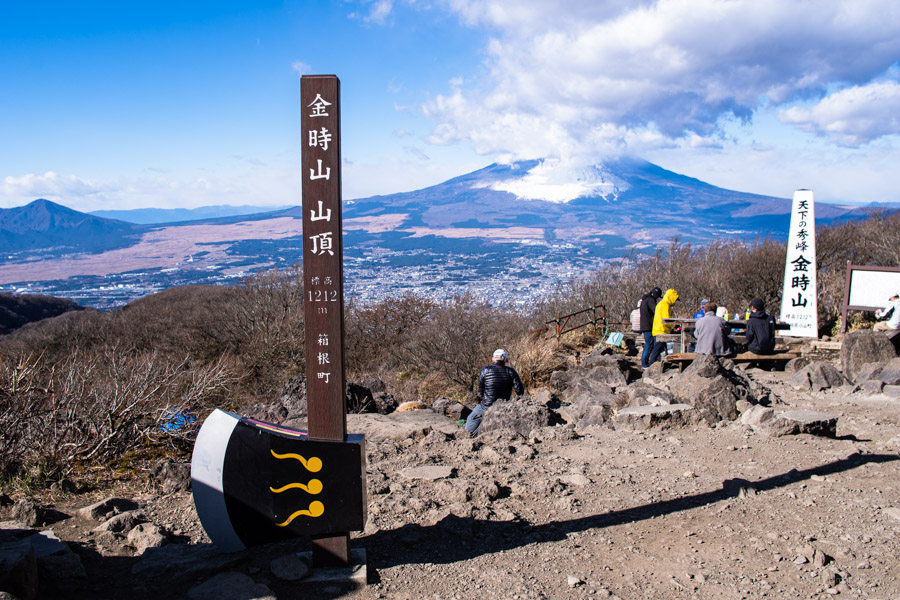
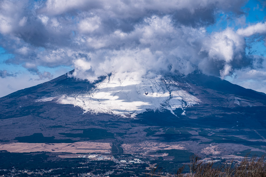
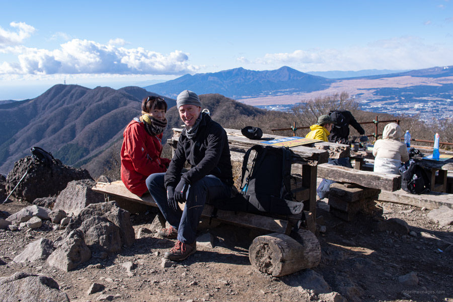
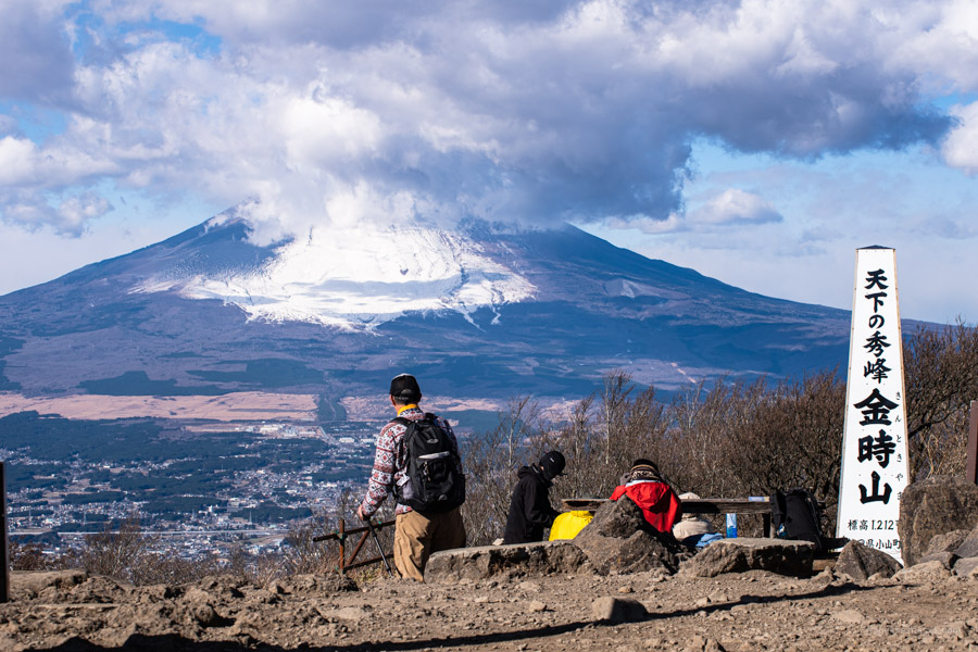
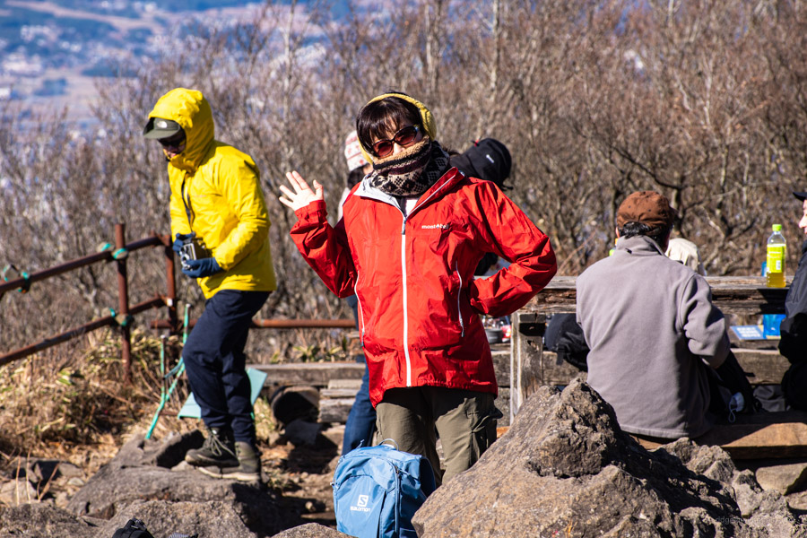
It takes about 45 minutes to arrive at the Kintoki Shrine branch which intersects with an alternative but longer approach via Mt. Myojingatake 明神ヶ岳. From here to the summit the trail steepens with one short scramble before popping out at Mt. Kintoki 金時山 1,212 m. The summit is home to two teahouses namely the Kintoki Chaya and Kintaro Chaya along with a bio-toilet (100 yen). An impressive view of Fujisan firmly cements Mt. Kintoki’s place as one of the 300 famous Japanese mountains.
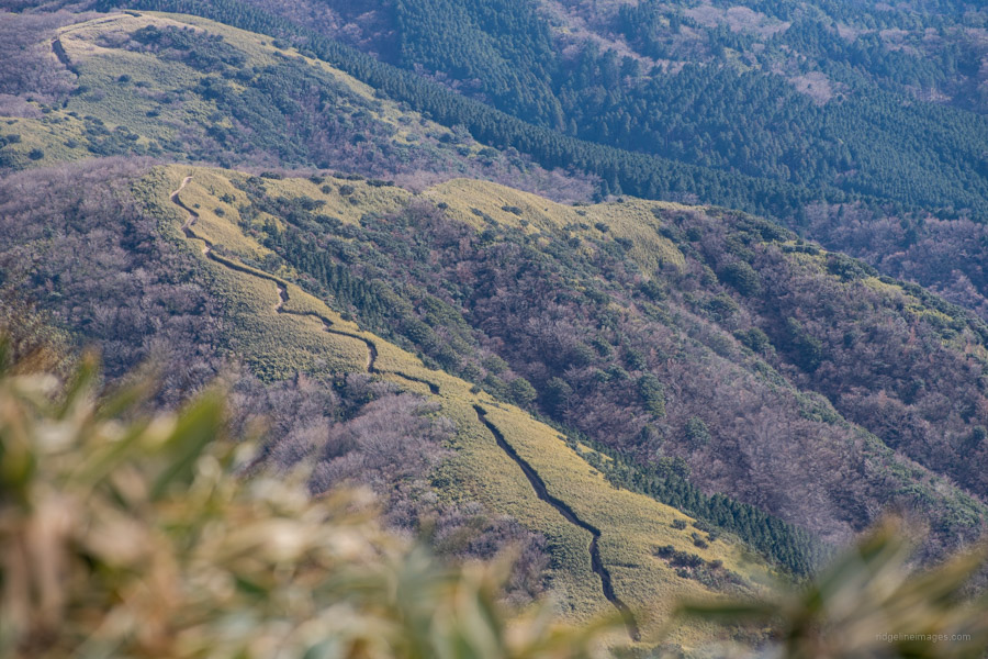
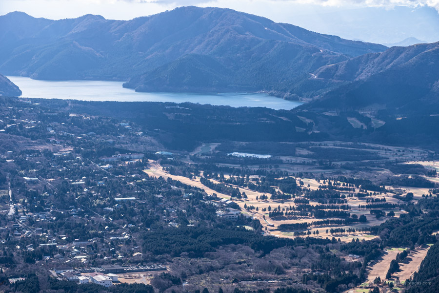
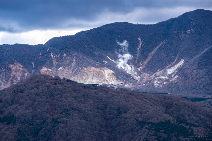
After taking a short break the descent begins to the left of the white summit signboard. After an initial steepish slope the trail continues along the gently undulating ridgeline. To the left are views of Lake Ashinoko along with the steaming volcanic fumaroles of Owakudani and through the foliage to the right glimpses of Mt. Fuji can be had. Next along the ridgeline finds Mt. Nagao 長尾山 1,119 m and just after that a rest area at Otome-toge 乙女峠 1,005 m. According to a local we met at the pass the dwelling here has been derelict since the owner was hurriedly stretchered out one evening due to ill health. The views towards Gotemba a highland city in the foothills of Mt. Fuji is a moment worth savouring.
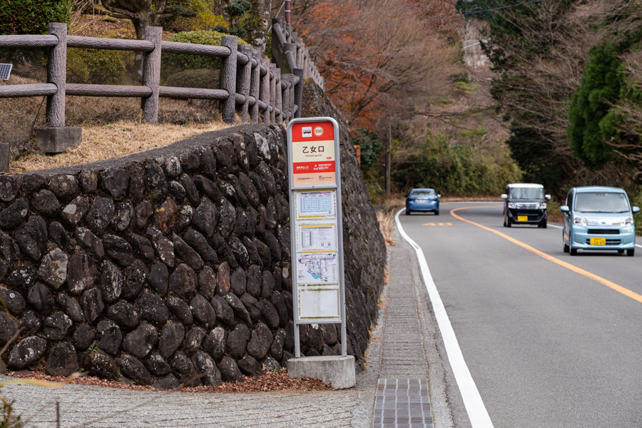
From Otome-toge down to the Otome-guchi bus stop takes about 30 mins and a further 10 mins after that to return to the carpark. Just before reaching the road the trail passes through a cedar plantation with ropes strung on one side to help keep you on track. As for after hike hot spring options I recommend Tennen onsen 天然温泉 one of the oldest hot spring resorts in Hakone for a well-earned soak.


Hi! Thank you so much for this information. I just want to ask if this is a kid friendly trail. My husband and I are planning on bringing our 6-year-old daughter on this hike using your loop trail. Do you think it’s doable? Hoping for your response. Thank you so much!
It’s a good question. Personally, I feel it might be a bit tough as it has an elevation gain of over 500 metres with a couple of steep sections. Time wise, it will likely take over 4 hours also. If your family has completed something similar it might be worth considering otherwise, I would set your sights on an easier hike.
We only hiked once at Mt. Takao taking the Inariyama Trail. So I think we will just choose an easier hike before hiking this. Thank you so much. This is very helpful!