.
Akaiwa 赤岩 – Mt. Nijurokuyayama 二十六夜山 – Sennin-mizu 仙人水
Distance: 8.9 km
Elevation change: 940 metres
Highest point: 1480 metres
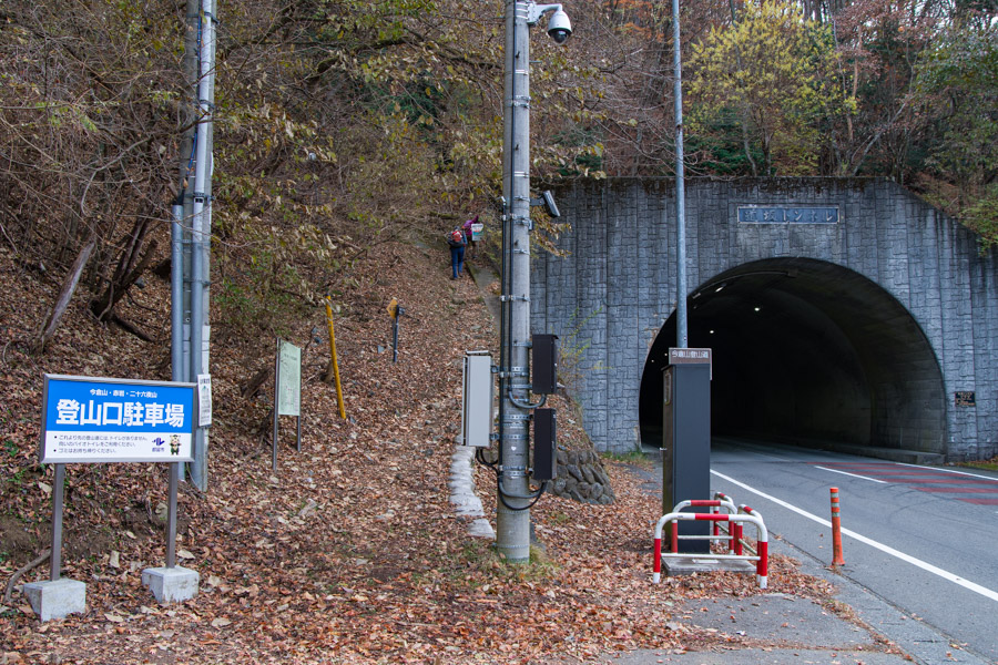
Start: Dozaka Tunnel bus stop
Finish: Bashotsukimachi-no-Yu bus stop
Difficulty: ▅▅▅▅▅▅▅▅▅▅ ❸
Map: Yama to Kogen Chizu 山と高原地図 [No.29 高尾・陣馬 TAKAO·JINBA]
GPX TrackKML TrackGSI MAPPDF Topo Map
Exploring Imakura and Nijurokuya in the Doshi Mountains
This hike includes one of Yamanashi’s lesser-known entries in the 100 Famous Yamanashi Mountains, namely Mt. Imakura, tucked away in the remote Doshi-sankai (Doshi Mountains). Despite its obscurity, it is surprisingly accessible thanks to bus connections from the Fujikyuko Line, making this hike quite feasible even without a car.
From Tsurushi Station 都留市駅 on the Fujikyuko Line, exit the station and board a bus bound for the Dozaka Tunnel 道坂隧道 (30 minutes, 740 yen). Be aware that on weekends and public holidays there are only two morning departures, at 8:15 and 9:15, and none on weekdays. The bus also does not operate from mid-December to March. Taking the 7:55 am train from Otsuki Station ensures a smooth connection. On a previous weekday hike to Mt. Mishotai, I had to walk to the trailhead along the same road. For those driving, a small carpark is available at the bus stop.
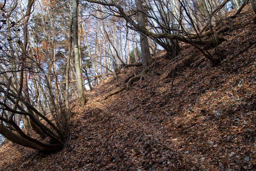
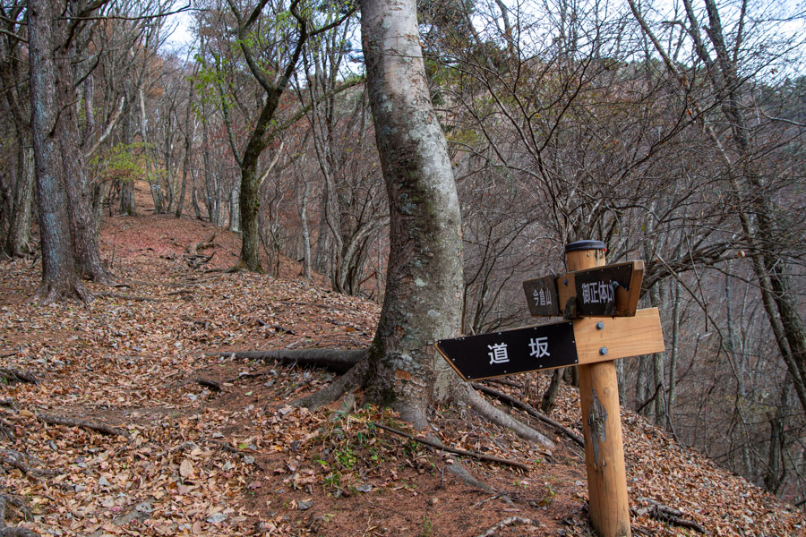
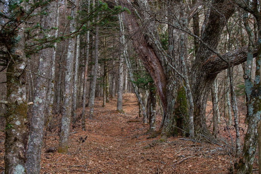
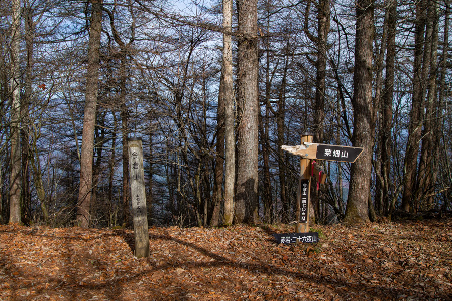
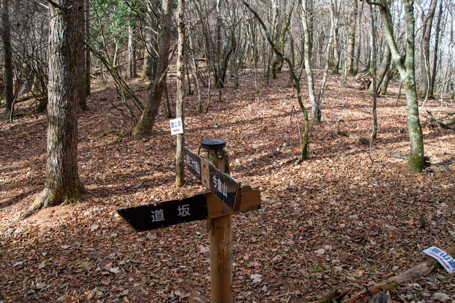
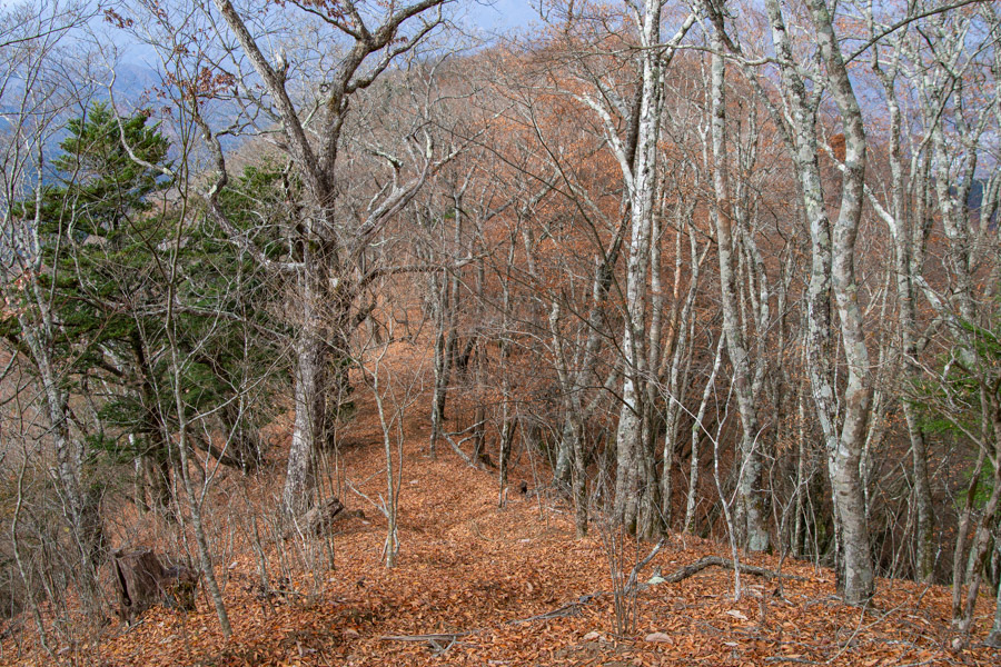
The trail begins with a steady climb through quiet forest, arriving at Dosaka-toge 道坂峠, the junction between Mt. Imakura and Mt. Mishotai. The Dozaka Tunnel runs beneath this pass. From the trailhead the climb is sustained, with Mt. Imakura 今倉山 (1,470 m) reached in about one hour. The summit of Mt. Imakura is surrounded by forest and offers no views.
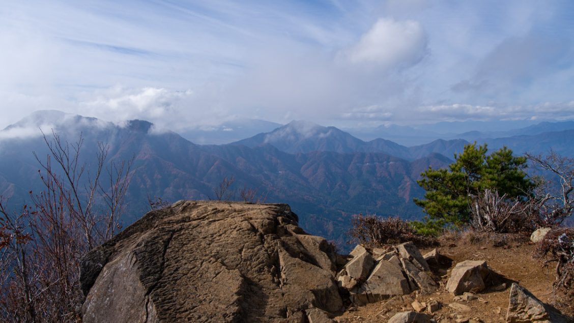
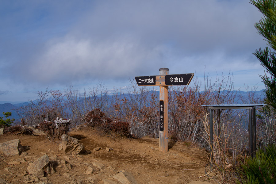
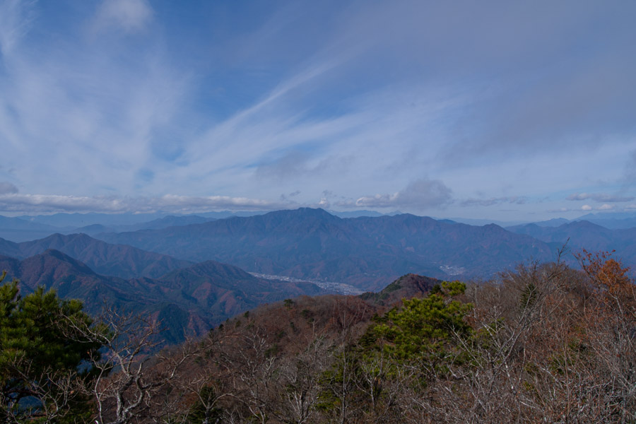
Continuing along the undulating ridgeline, you pass Mt. Gozeriyama 御座入山 (1,480 m) – the highest point on the course – and Nishigahara 西ヶ原, an alternative route through a valley that reconnects with the main ridge. Note that due to accumulated leaf litter, the trail can at times be hard to follow, and I occasionally found myself drifting off course. On a clear day, the summit of Akaiwa 赤岩 rewards you with a truly spectacular 360-degree panoramic view. During my visit, however, the clouds had moved in a little too early to catch Mt. Fuji in its full glory. To the left in front of Mt. Fuji lies Mt. Mishotai, and to the right is Mt. Shakushi.
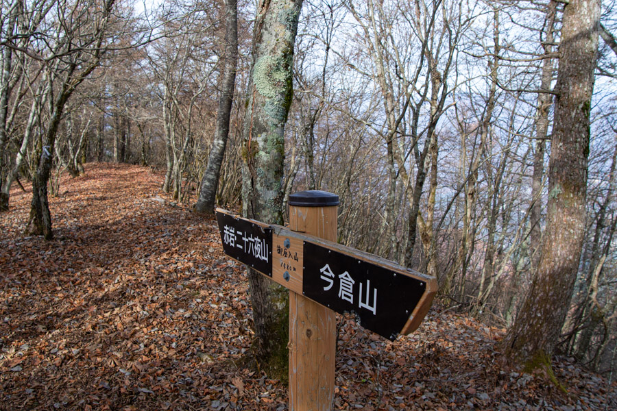
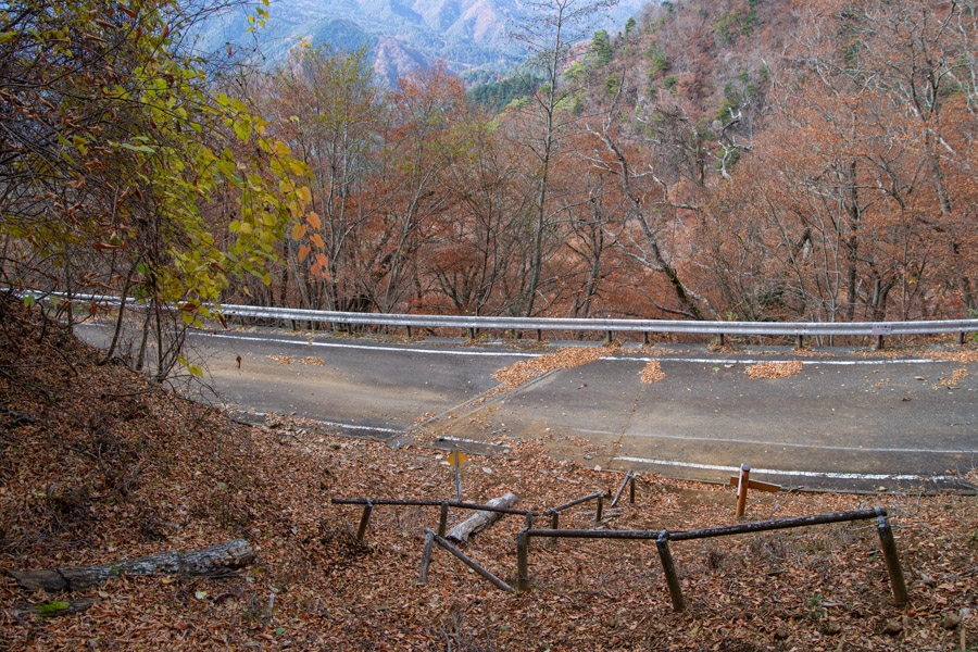
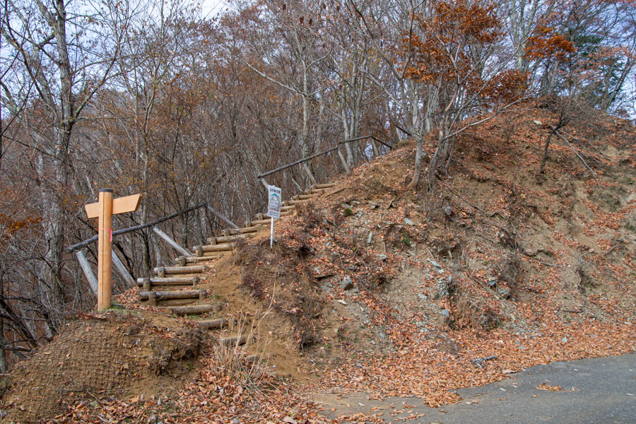
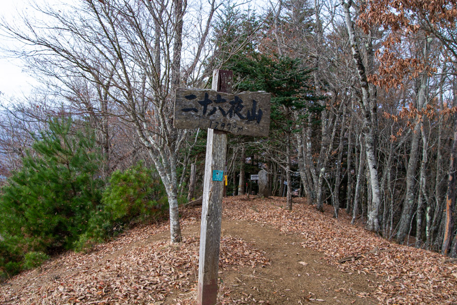
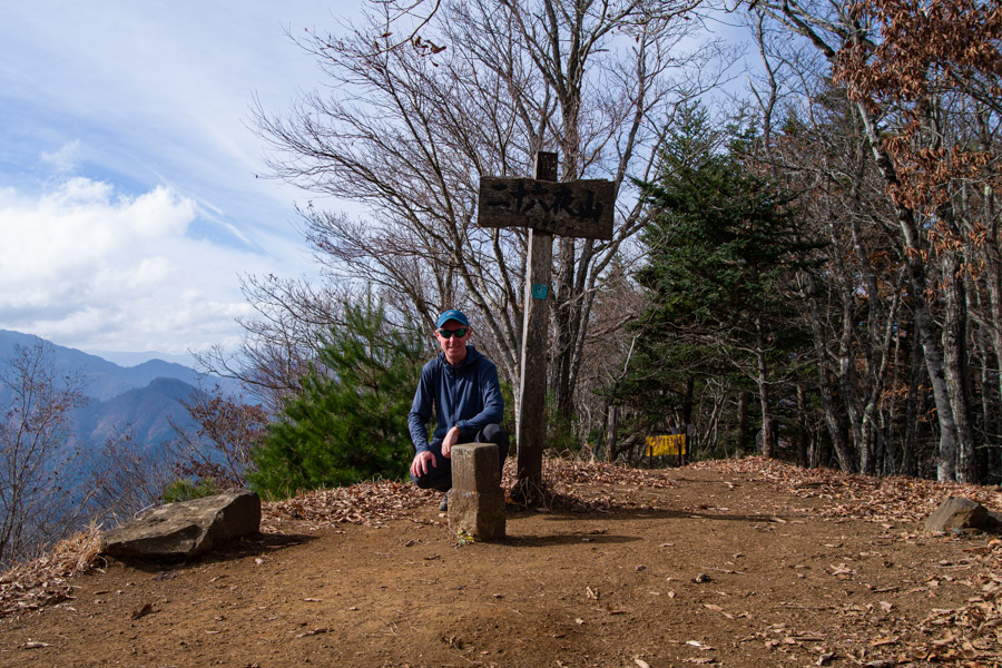
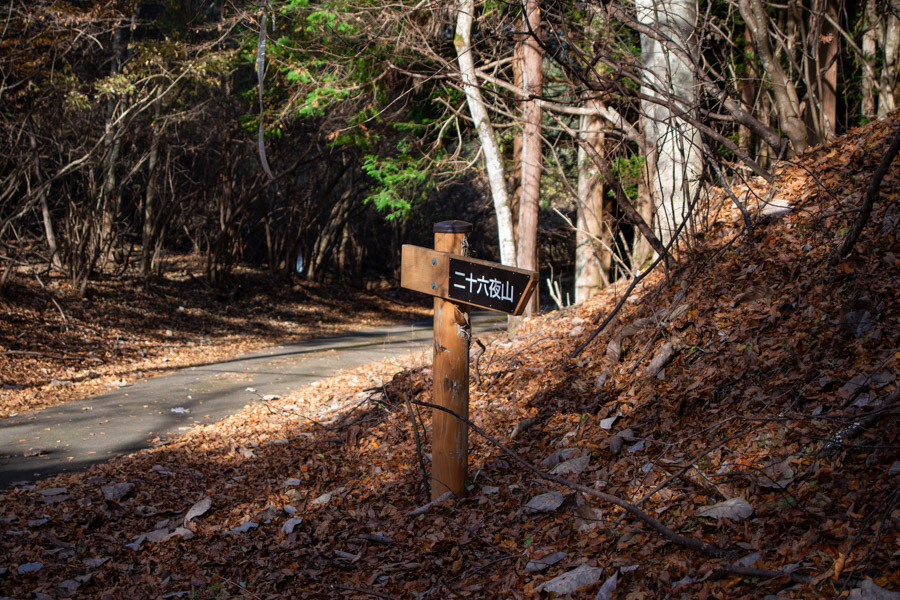
After taking in the view, the trail has some ups and downs as it descends to the forest road intersection 林道出合. After a short walk along the forest road, the hiking trail begins again, and after about 15 minutes of climbing you reach the summit of Mt. Nijurokuya 二十六夜山 (1,297 m), not to be confused with Akiyama Nijurokuya-yama 秋山二十六夜山 of 100 Famous Yamanashi Mountains fame. This is another mountain that should offer a direct view of Fuji-san ahead, but it was similarly hidden by clouds. In the past, a moon-viewing event was held on this summit on the 26th of July, the time of year when the moon rises the latest. People would gather for parties, eating and drinking while waiting for the moon to appear.
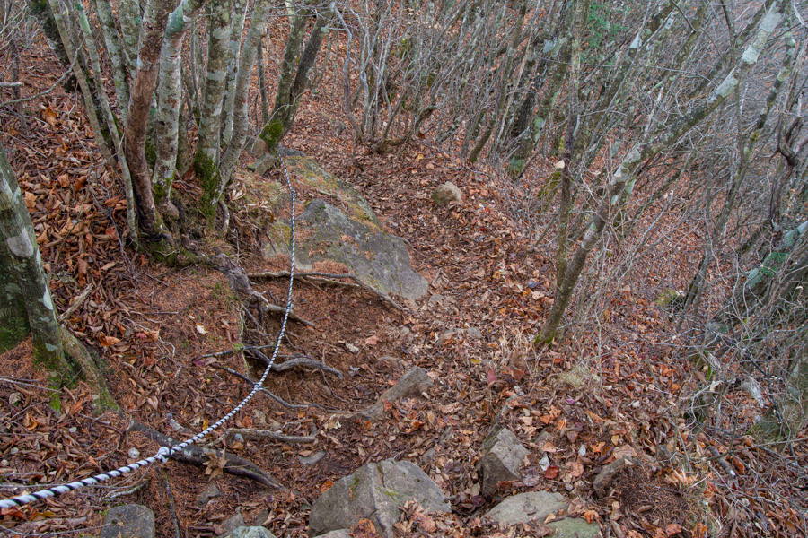
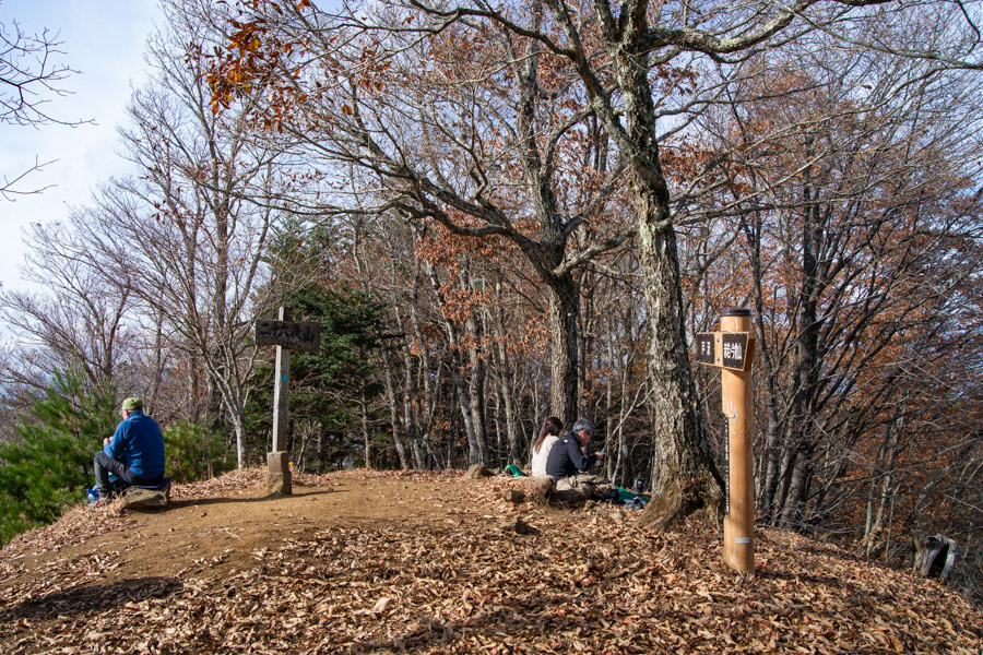
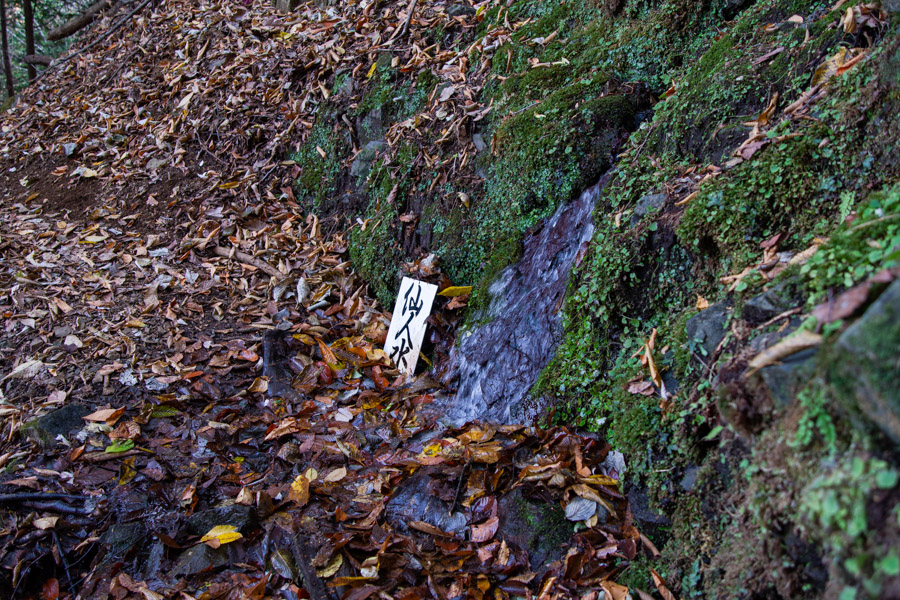
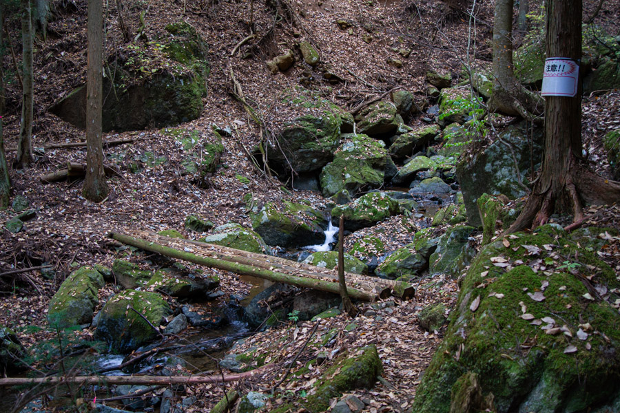
Soon after I arrived, several more hikers reached the summit to eat their lunch. When you’re ready to head off, the trail begins its descent on the opposite side of the summit. Proceed with caution and keep an eye on your GPS, as leaf debris can obscure the path, though there are occasional signs and bits of pink tape. On the way down the mountain, there is a water source called Sennin-mizu 仙人水, which apparently never dries up.
The switchbacks eventually lead down to a wooden bridge crossing a river. Once you reach the road, it’s a 10-minute walk along a paved section to the bus stop at Bashotsukimachi-no-Yu 芭蕉 月待ちの湯, a municipal hot spring facility in Tsuru City (10:00 am to 9:00 pm, 720 yen). I was hoping I might have made better time to take a soak, but I only had a short wait before the infrequent community bus back to Tsurushi Station (20 minutes). The fare is a flat rate of 200 yen regardless of the distance travelled, and Pasmo and Suica cards are accepted.


Natsukashii.
I made a point to hike, in sections, all those mountains paralleling the Doshi Michi. Some of them, like Mishotai and Shakushi, have great views of Fuji. Most of the walk along the ridge, as I recall, didn’t have any clear line of sight to Fuji.
I remember reading somewhere that that area has the highest concentration of campgrounds in the country.
Keep on hiking, David. Take care.
I remember, Pat – you did quite a lot of hiking in the Doshi Mountains, and for good reason, as many of them offer prodigious views of Fuji-san. I’m slowly getting there myself and have knocked off most of the main ones now, aside from Mt. Akiyama Nijurokuya-yama and Mt. Nabatake.
As for the high concentration of campgrounds, I’d agree – every second one of our auto-camps has been along that stretch of road leading to Yamanakako, and we’ve probably only scratched the surface!
Thanks as always for the good recommendations. This looks like a good one. Is an iPhone and YAMAP enough to stay on course?
Thanks, Mike! Yeah, an iPhone with YAMAP is definitely enough to stay on course. I mainly added that warning because some people don’t like the idea of having to “feel” the trail out.
Thanks for the confirmation. I’ll add it to my list of mountains to try.
Those fall hikes can be tricky with the leaves covering up trails.
I climbed Mt Imakura about 2 years ago, pity you couldn’t get a view of Mt Fuji!
I was quite envious of the views you got. Predictably, the days before and after when I did it were far better for views!