.
Hakutaisan 白泰山 – Nozoki-iwa のぞき岩
Distance: 18.1 km
Elevation change: 1136 metres
Highest point: 1794 metres
Start: Kawamata bus stop
Finish: Tochimoto-seikisho-ato bus stop
Difficulty: ▅▅▅▅▅▅▅▅▅▅ ❹
Map: Yama to Kogen Chizu 山と高原地図 [No.26 雲取山・両神山 KUMOTORI-YAMA·RYOKAMI-SAN]
GPX TrackKML TrackGSI MAPPDF Topo Map
Another of Okuchichibu’s Hidden Gems
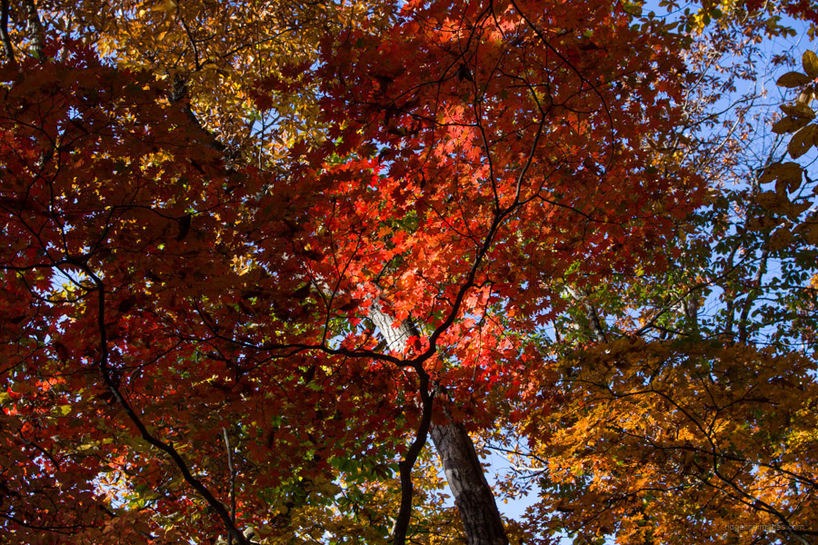
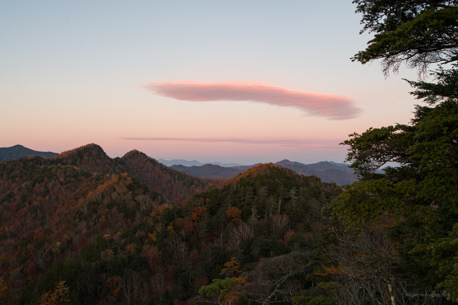
Mount Hakutaisan is one of the Okuchichibu mountains located west of the Futase Dam in Chichibu City, Saitama. It’s a relatively minor mountain, often overlooked in favour of better-known spots such as the Irikawa Gorge. The route takes you through tracks of virgin forests, including beautiful Japanese beech trees. You can climb the mountain as a day trip if you have a car or choose to stay overnight at the charming Hakutaisan refuge hut if you’re using public transportation. Near the hut, there’s a lookout offering superb views across Okuchichibu. The best times to climb are during spring, when the new green leaves appear and in autumn.
Day 1: Relax at Hakutaisan Refuge Hut (10.2 km)
Getting to the starting point of the hike is the same as the route for the Karisaka-toge hike. On weekends and public holidays, there’s a morning bus departing from Seibu-Chichibu Station 西武秩父駅 at 8:20 am (bus Stop 5), directly reaching Kawamata 川又 in 63 minutes for 970 yen. On weekdays, two morning buses depart from Mitsumineguchi Station 三峰口駅 at 7:55 am and 10:20 am to Kawamata in 40 minutes for 650 yen.
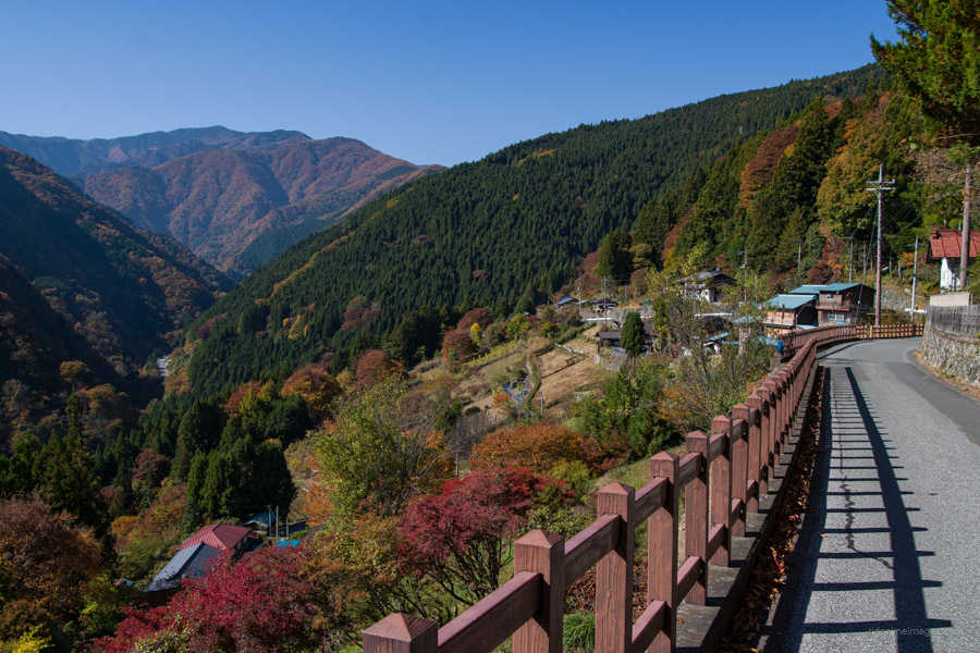
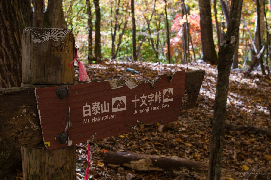
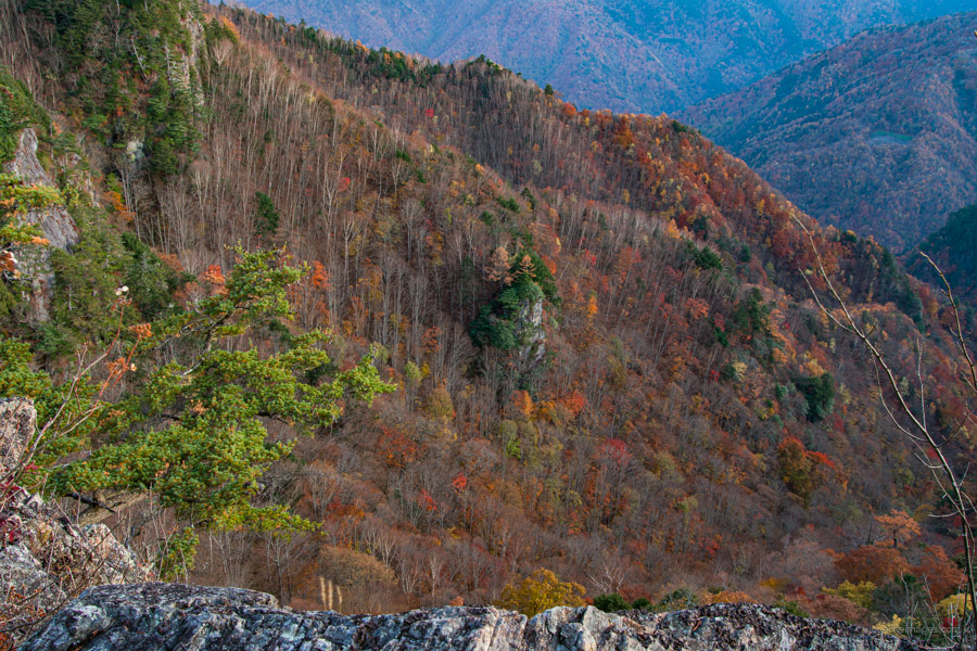
From the Kawamoto bus stop, walk uphill through a picturesque village to the Tochimoto Sekisho, or Tochimoto Checkpoint Ruins. In the past, travellers would have passed through this prosperous checkpoint on their way to the three provinces of Kai, Shinano, and Musashi. This hike follows the old Shinshu Road, which eventually led to Jumonji Pass 十文字峠. From the old checkpoint, enjoy a view that extends through the steep valley, surrounded by peaks over 2,000 metres high.
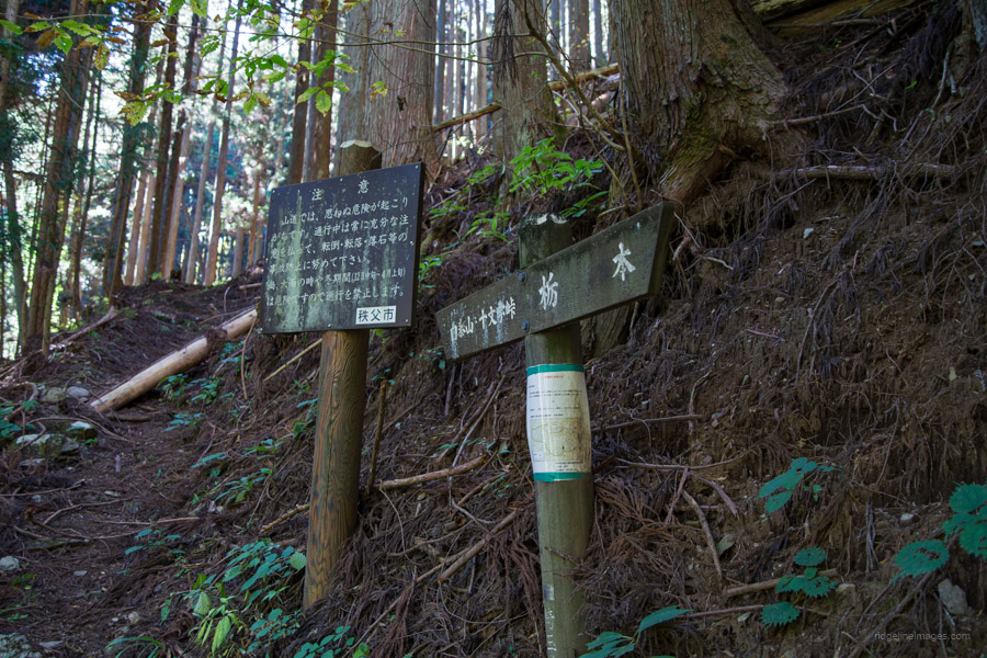
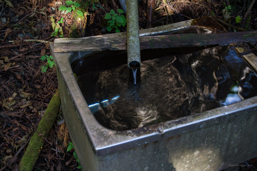
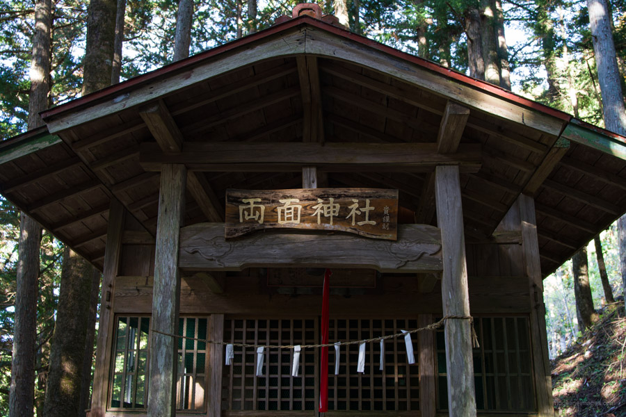
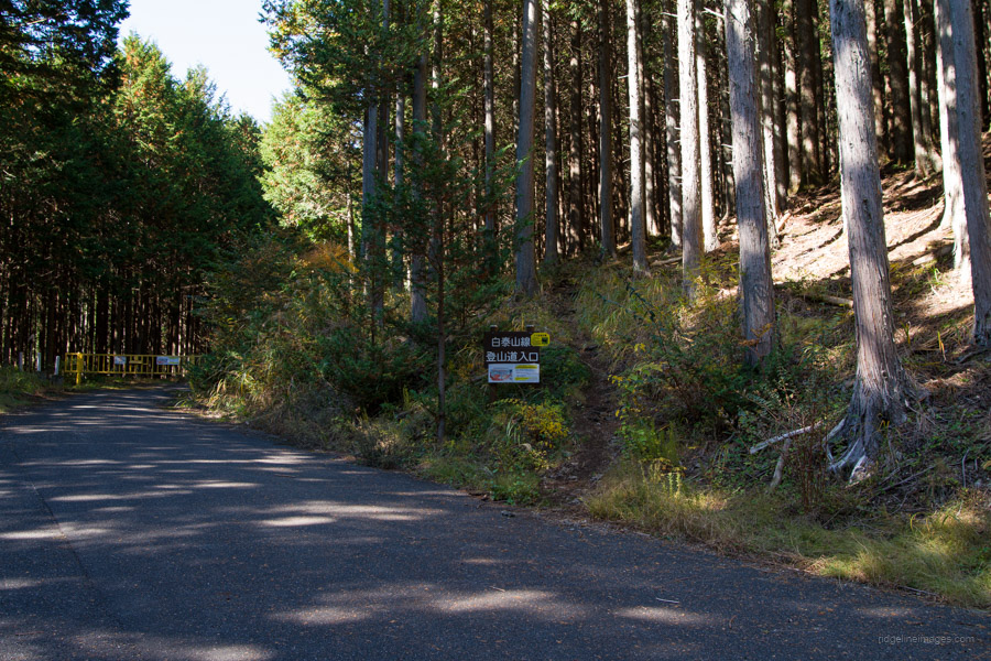
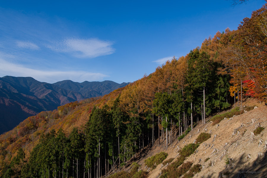
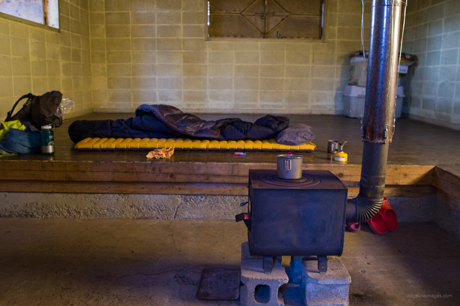
If you’re taking public transport, the first trailhead is located 20 minutes up the road, pointing to the Tochimoto Hiroba 栃本広場. Next to the trailhead is a small water source, which is probably fine to drink. If you plan to stay at the Hakutaisan refuge hut, you’ll need to carry water, as there are no other water sources along the way. Additionally, the refuge hut doesn’t have a toilet. The initial section passes through a plantation forest. A short detour from the trail will take you to the Hakutaisan Shrine. This first stretch to the second trailhead has some minor exposure but no dangerous sections.
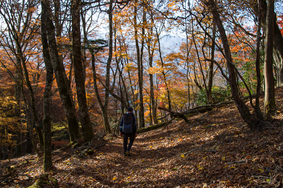
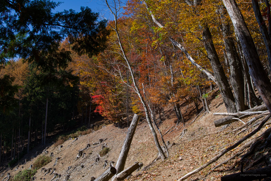
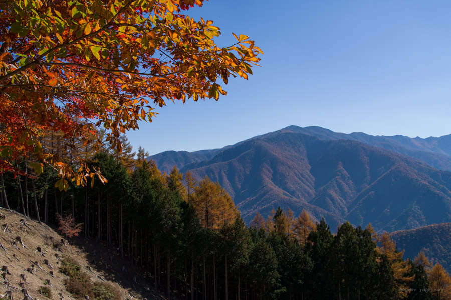
Upon reaching the road and a small parking lot after the second trailhead, the trail continues in front of you. Shortly after the second trailhead, you’ll enter a broad-leaved beech forest. The view briefly opens up as you pass by a logging coupe, offering a nice view back to Mt. Wanakurayama. In late May, you can expect to see Shakunage rhododendrons in bloom along the ridgeline. Despite the elevation gain being over 1,000 metres, the climb is gentle, with the only steep section occuring in the final push to Mt. Hakutaisan.
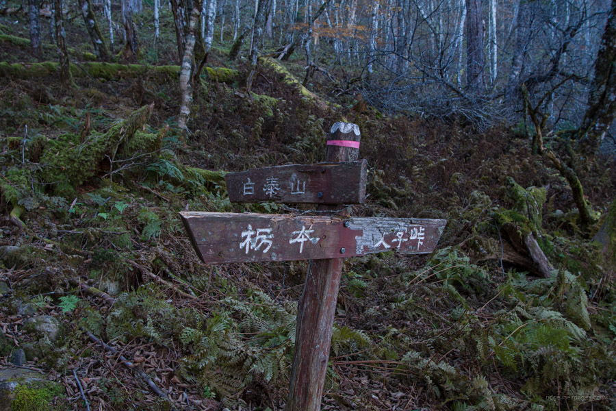
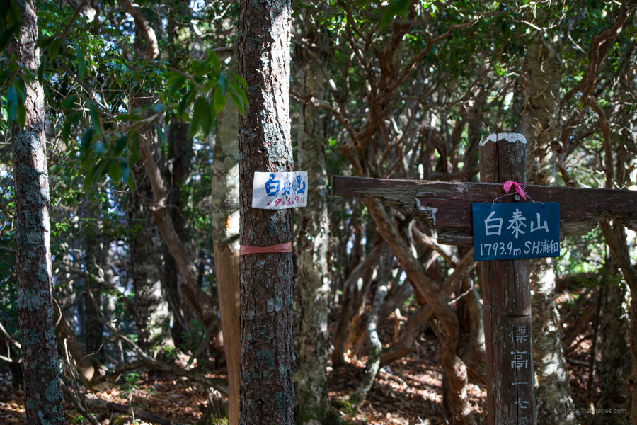
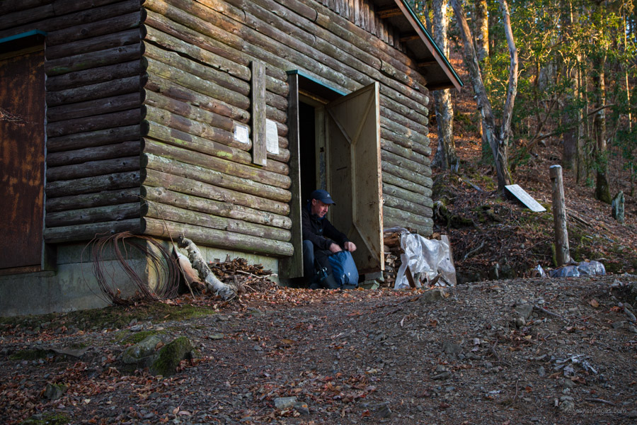
Be mindful of the lack of trail signage and pink tape. While the trail follows the ridge, leaf debris underfoot can make it difficult to discern the path at times. During the two days I hiked, I encountered only four other hikers, despite the perfect autumn weather. Keep an eye out for a trail fork leading to the summit of Mt. Hakutaisan 白泰山, (20-minutes return) with no view. From here, the Hakutaisan refuge hut can be reached in about 15 minutes. If you prefer, you can also reach the refuge hut via the upper ridge instead of backtracking to the trail fork, although the forest is reportedly quite dense. In total, it took around 4 hours from the bus stop to the refuge hut.
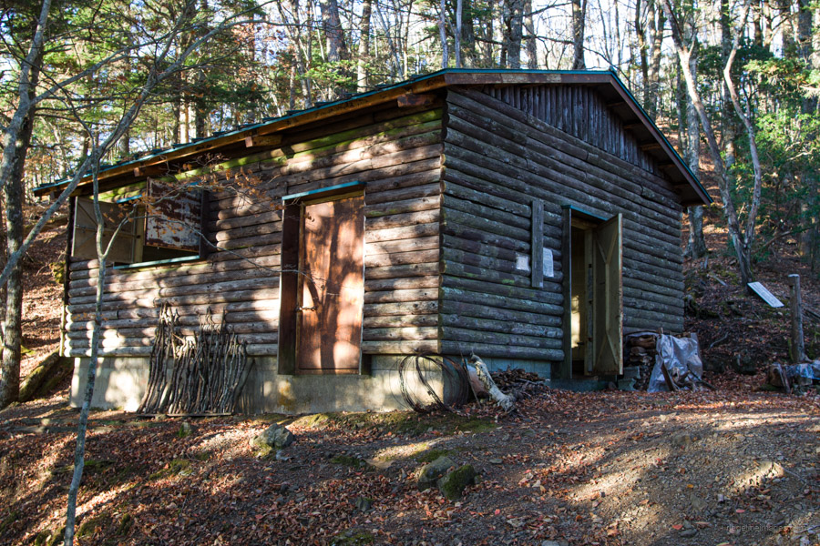
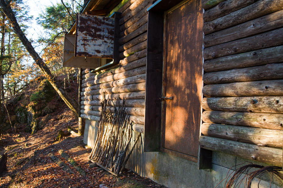
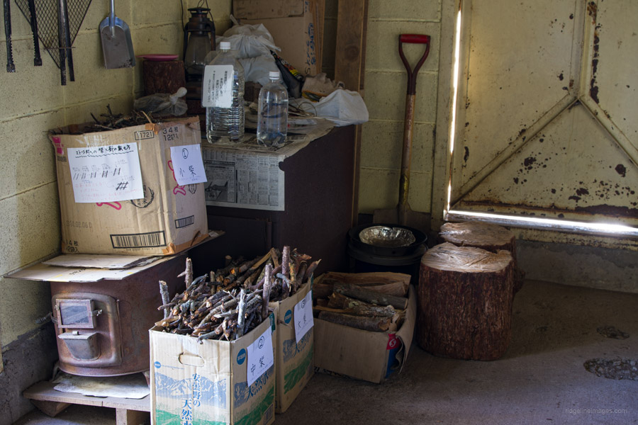
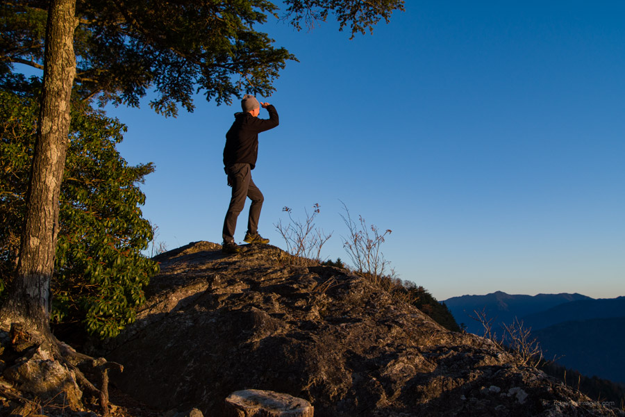
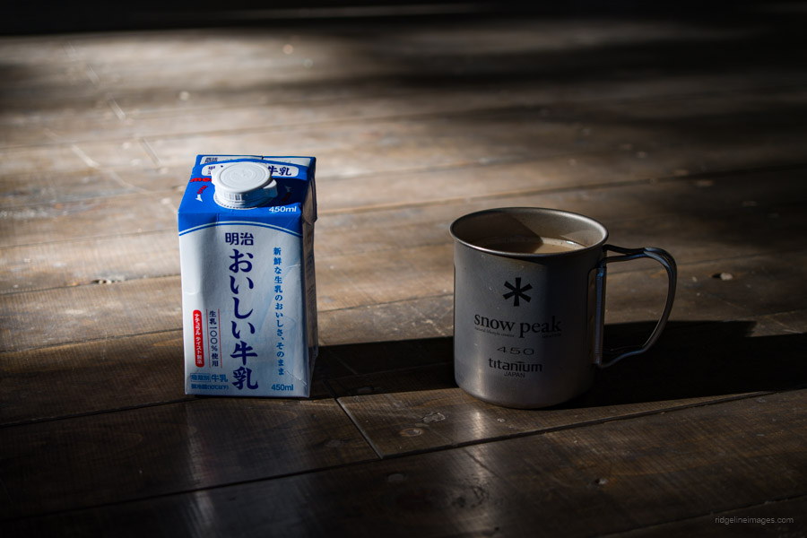
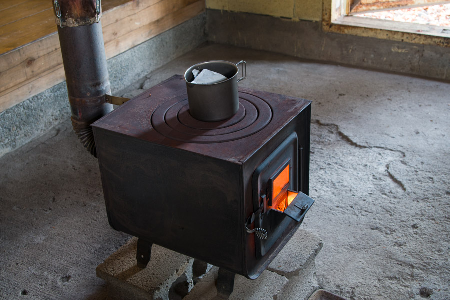
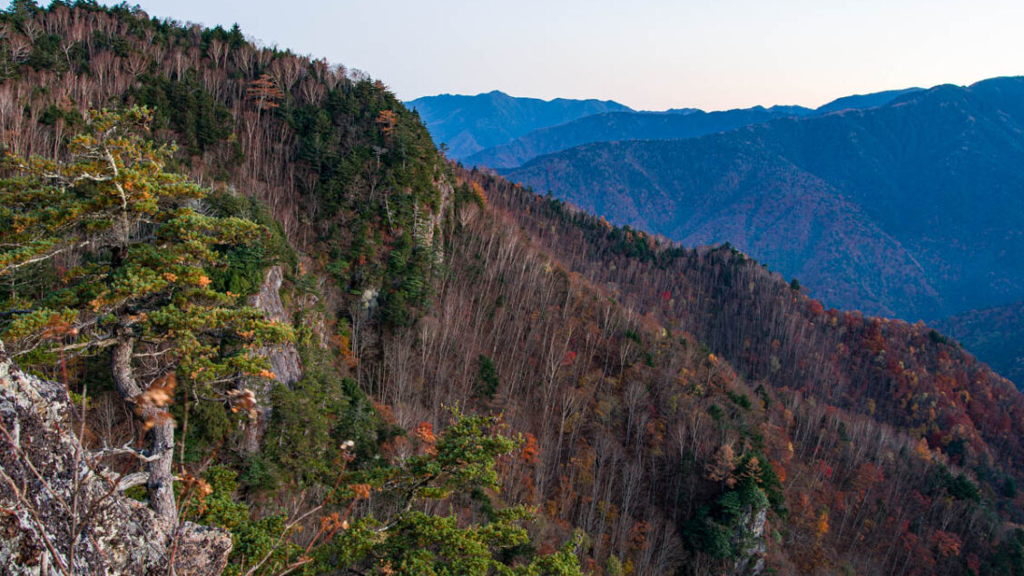
As I expected, I was the person staying at the refuge hut. The appealing aspect of sleeping in this clean and well-maintained hut is the outstanding view from a nearby rocky area known as Nozoki-iwa のぞき岩. Directly in front, you can see Mt. Hafusan and the ridgeline leading to Mt. Kobushigatake. Additionally, the refuge hut features an old-style Daruma stove and an ample supply of firewood to warm up the hut and boil water.
Day 2: Easy Descent Back to Tochimoto (7.9 km)
Surprisingly, in early November, the temperature barely dropped below 10 degrees Celsius. Typically, at this time of year and elevation, I would expect to be scraping ice off the inside of my tent. Before leaving the hut, make sure to sweep the floor, clean the stove, and replace the firewood. After this, simply retrace your steps all the way back to the Tochimoto Checkpoint Ruins and the nearby Tochimoto-seikisho-ato bus stop 栃本関所跡. Keep in mind that the three morning community bus services (20 minutes and 310 yen) require you to transfer at the Otaki-onsen bus stop 小滝温泉 to return to Mitsumineguchi Station.