.
Umanose Miharashidai 馬ノ背見晴台 – Mt. Echizen 越前岳 – Mt. Kuro-dake 黒岳
Distance: 9.8 km
Elevation change: 624 metres
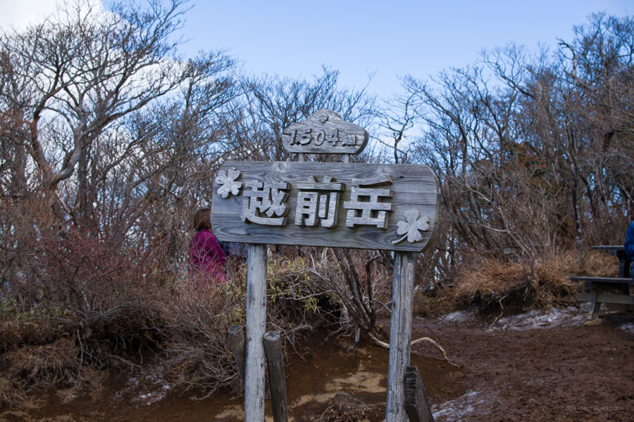
Highest point: 1504 metres
Start: Jurigi Bus Stop
Finish: Ashitaka Tozan-guchi Bus Stop
Difficulty: ▅▅▅▅▅▅▅▅▅▅ ❸
Map: Yama to Kogen Chizu 山と高原地図 [No.34 富士山 FUJI-SAN]
GPX TrackKML TrackGSI MAPPDF Topo Map
Ascending Mt. Echizen the highest peak of the Ashitaka Massif
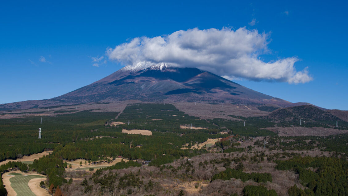
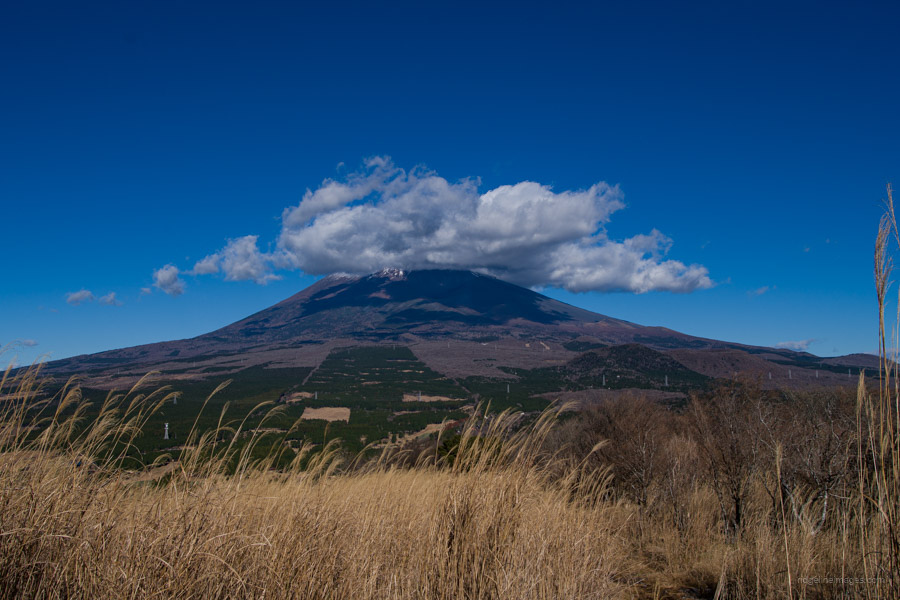
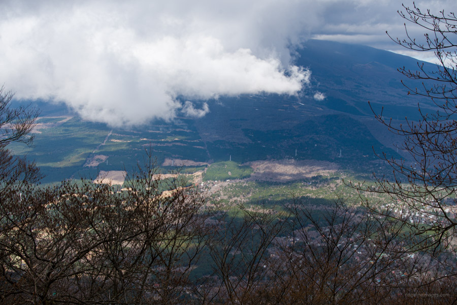
Located in Shizuoka Prefecture on the south side of Mt. Fuji, Mt. Echizen, one of the two hundred famous mountains, is the highest peak of the Ashitaka Massif. The Ashitaka Mountain Range is comprised of nine main mountains and is renowned for providing one of the best vantage points to behold not only Mt. Fuji but also Sagami Bay. This mountain is an ancient volcano that was once thought to share a silhouette resembling its more famous neighbour. On clear days, you can distinctly see the crater, a feature not easily visible from Tokyo or Yamanashi Prefecture.
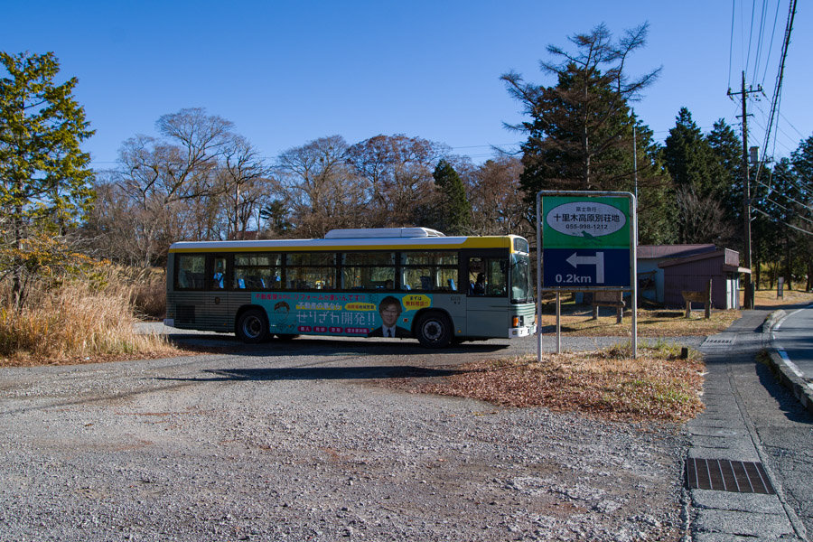
A drawback is that Mt. Ashitaka is not easily accessible by public transportation. The first step is to get to Gotemba Station 御殿場駅 on the JR Gotemba Line. The fastest and most comfortable way to do so is to take the Odakyu Limited Express Fujisan, a Romancecar operated by Odakyu Electric Railway between Shinjuku and Gotemba Station (90 minutes and 2,920 yen). At the Gotemba Station ticket gate, turn left and head out the ‘Fuji side’, down the stairs to Bus Stand 4, to board the bus bound for Juriki 十里木 which departs at 8:30 am (50 minutes and 1,020 yen).
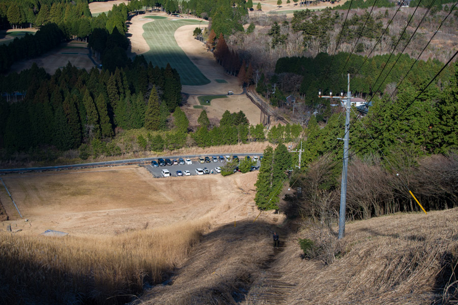
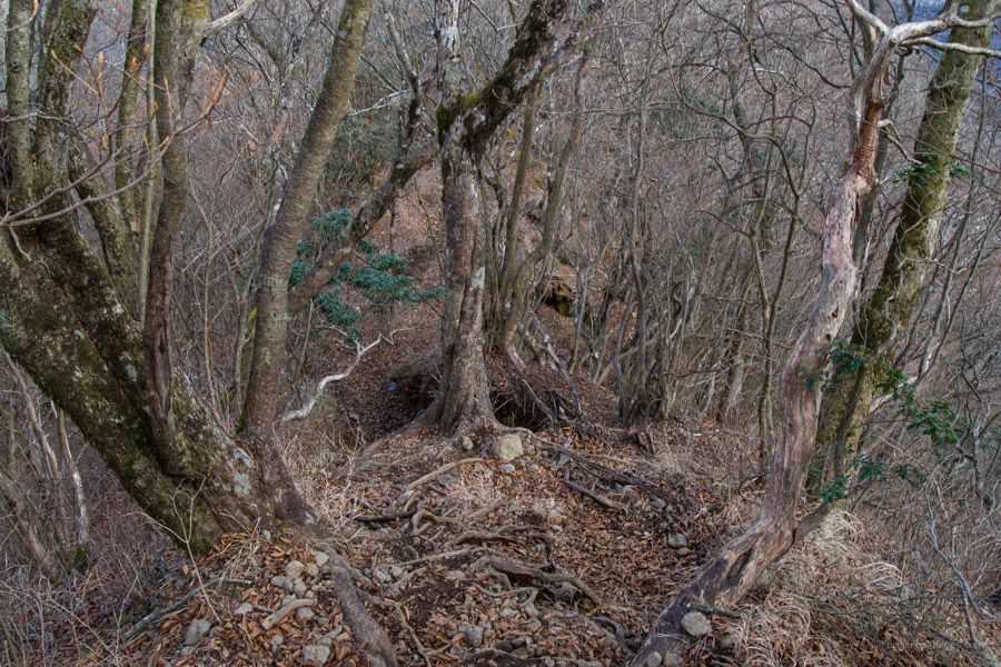
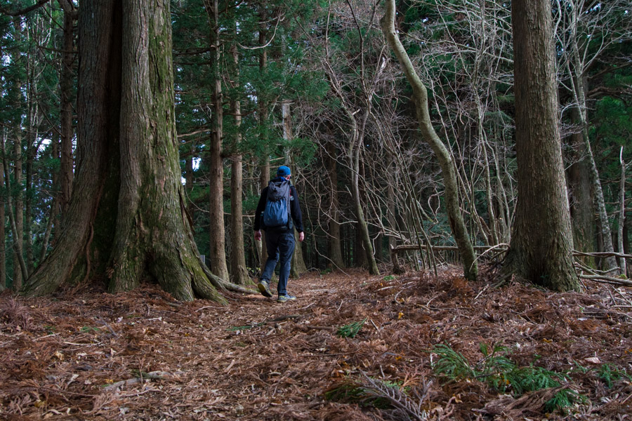
From the Juriki bus stop, continue along the road in the same direction as you just came for 10 minutes to reach the car park and restroom at Juriki Kogen. The eroded steps at the beginning of the hike foreshadow the general abysmal state of the trail. After 10 minutes of climbing, you’ll encounter a lookout platform with a breathtaking view. The biting cold was evident, as needle ice, known as shimobashira, covered the trail.
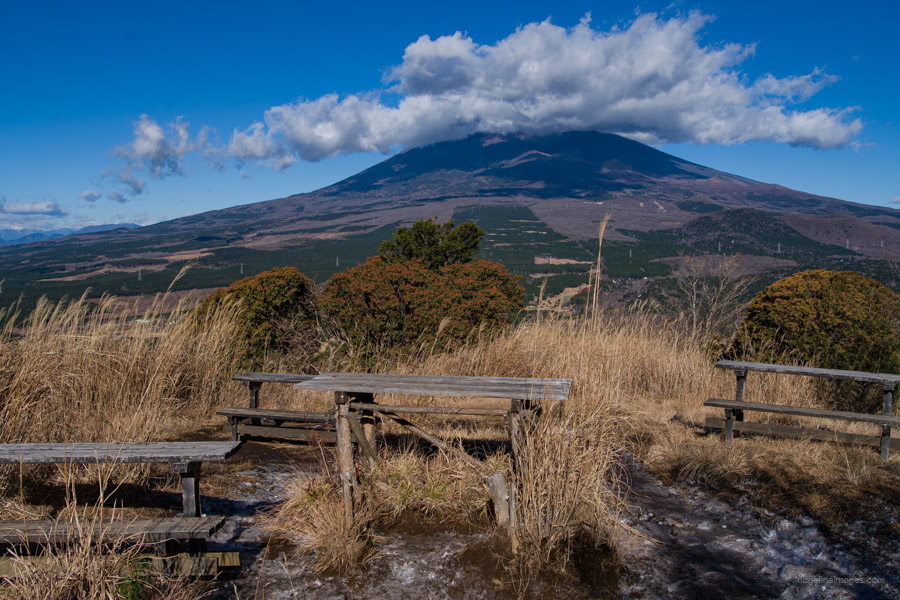
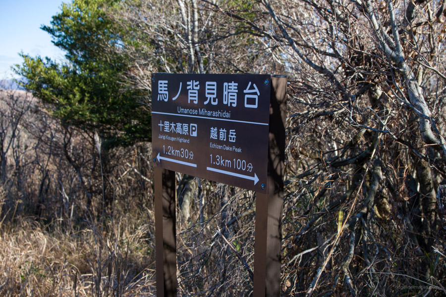
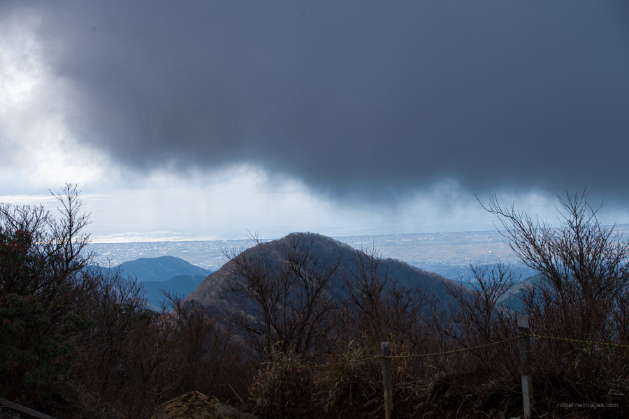
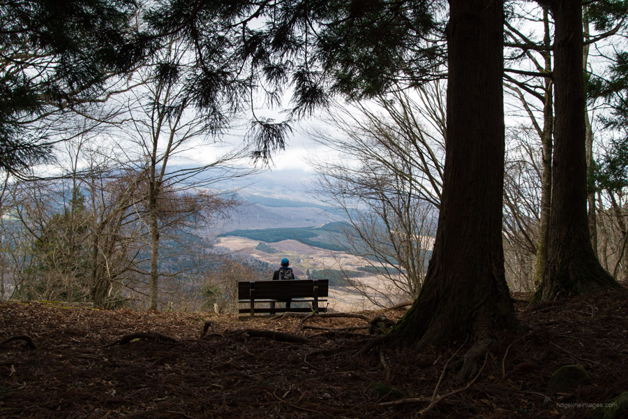
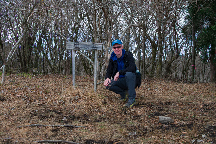
Further up, you’ll encounter a flat section as you pass by a large TV antenna and a ‘passive repeater’ that retransmits radio signals without power. At Umanose Miharashidai 馬ノ背見晴台, there is a rest area with some benches. In terms of distance to the summit, this marks approximately the halfway point but be prepared for a considerable increase in gradient from this juncture. At this stage of the hike, Mt. Fuji was unfortunately already shrouded in cloud cover.
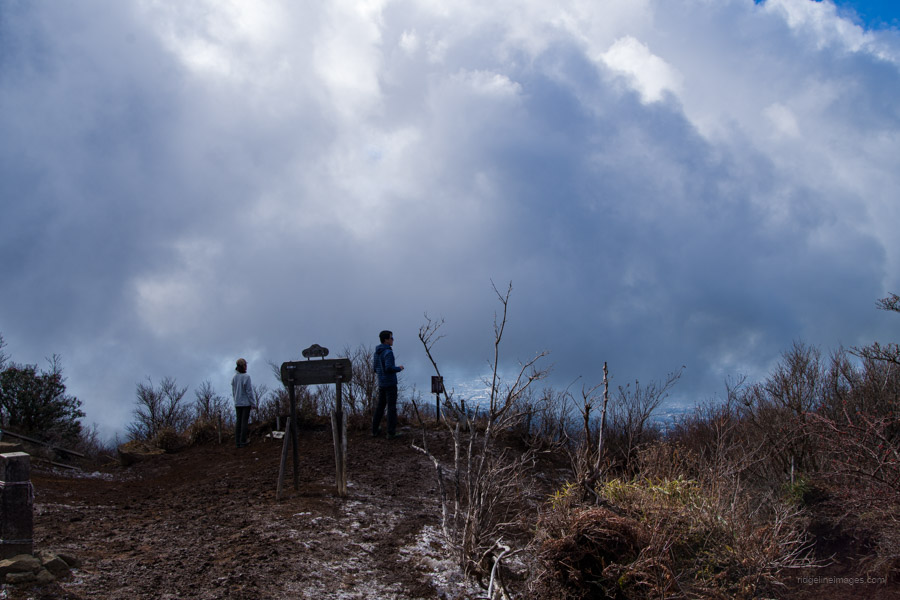
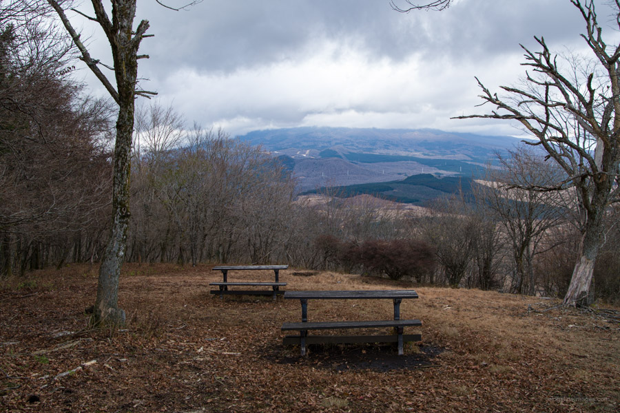
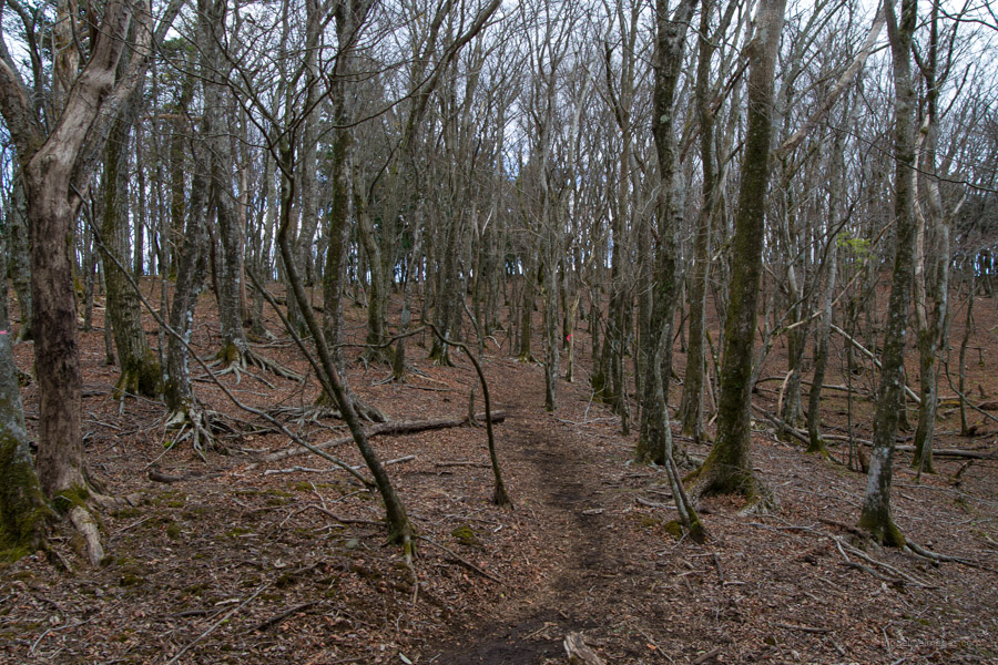
Due to significant erosion on the trail, there are now several goat trails shadowing alongside. Next up is a flat area, as the name suggests, called Heitanchi 平坦地, and a junction at Sekotsuji 勢子辻分岐, marking the final push to the top. From the car park to the summit, it takes about an hour and a half at a moderate pace. The mountaintop is quite expansive, with several benches. However, the ground is another matter, resembling a proverbial quagmire of sticky mud! From the summit, you can enjoy a panoramic view of Suruga Bay in clear conditions.
When you’re rested up, start heading in the direction of the Yama Jinga Shrine 山神社. To your right, you should be able to make out the sawtooth ridge around Mt. Nokogiri 鋸岳. About 15 minutes after starting the descent, there is an incongruous-looking stepladder, presumably for photographers eager for a better vantage point. This spot is fittingly dubbed Fujimidai 富士見台. It also happens to be the location where Mt. Fuji was depicted on the old 50-sen note.
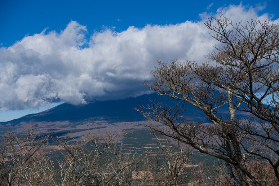
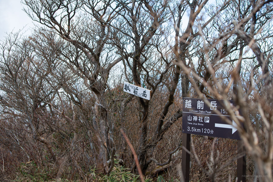
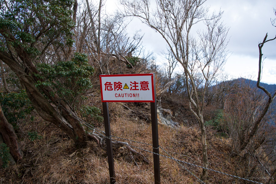
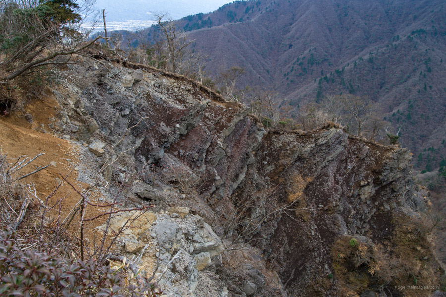
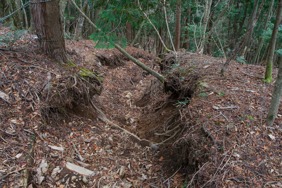
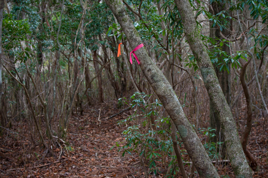
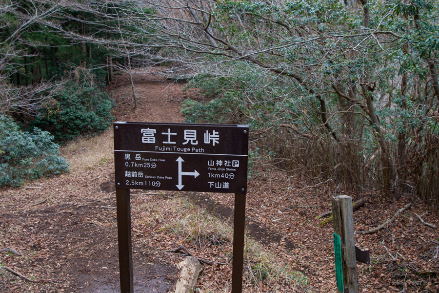
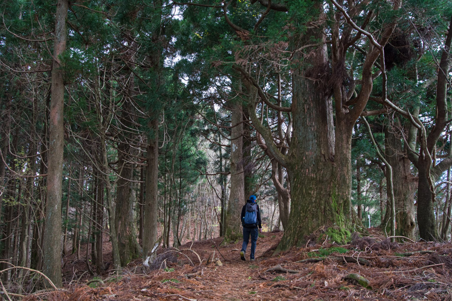
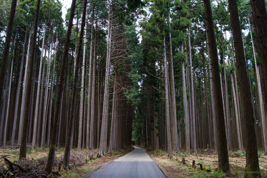
Continue down the mountain and around a large cordoned-off landslide to a place called Nokogiri Dake Tenboudai 鋸岳展望台. The sound of gunfire from the Self-Defense Forces’ Mt. Fuji training range can be heard echoing intermittently in the distance. The trail from here to the Fujimi Toge Path 富士見峠 has transformed into a deep trench, so instead follow a new trail marked with pink tape. At the Fujimi Toge junction, it’s worth making the short 40-minute round trip to Kurodake 黒岳, especially if the weather is good, as it offers more views of Fujisan. Many magnificent giant cedar trees stand near the summit of Mt. Kurodake.
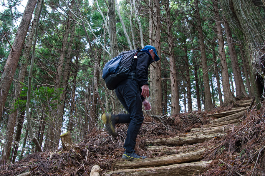
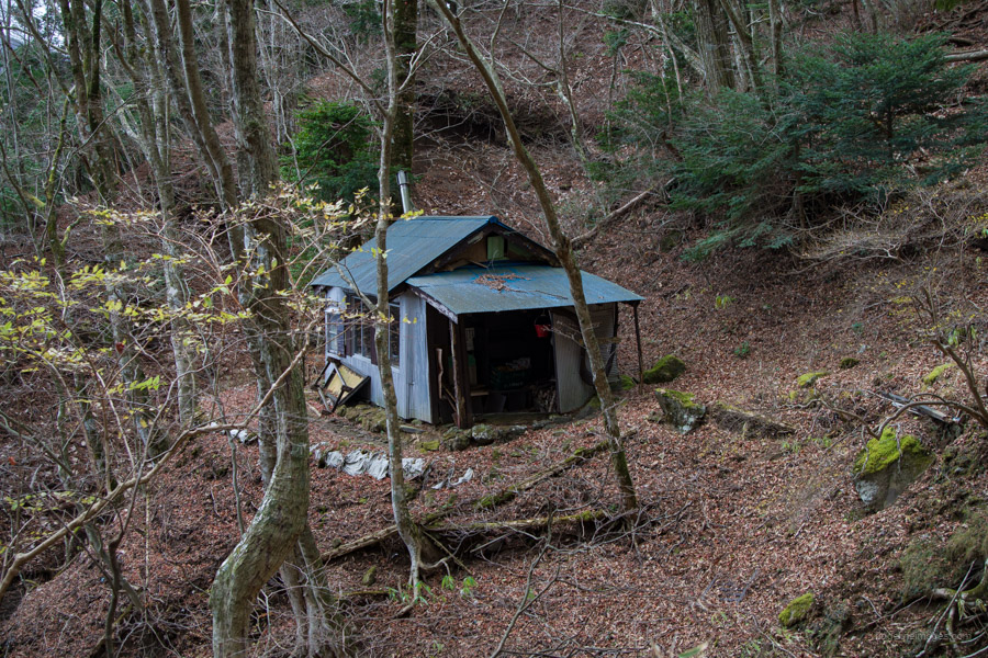
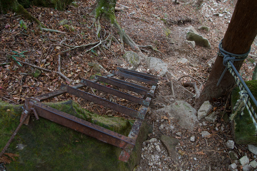
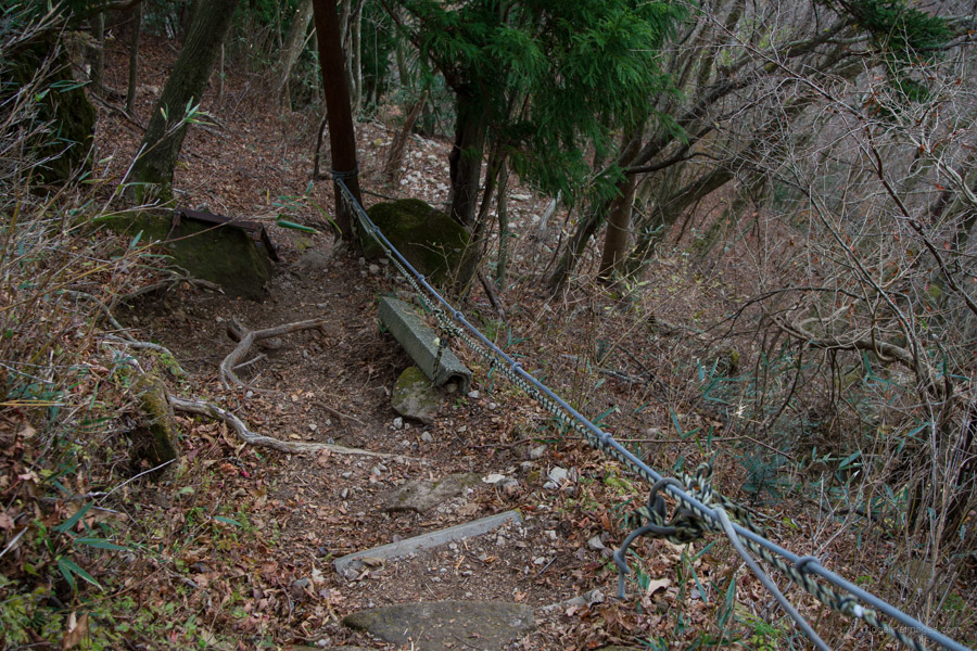
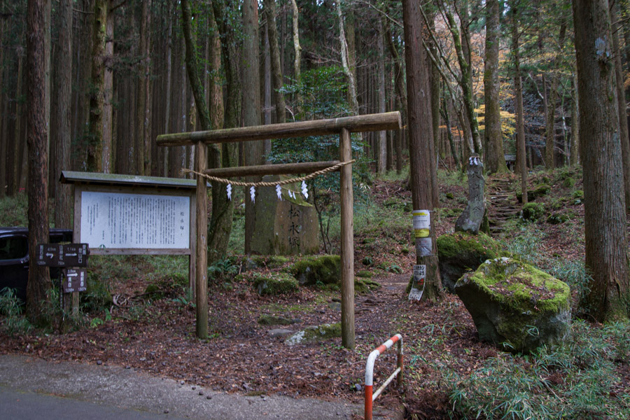
After returning to the Fujimi Toge junction, begin descending towards the mountain shrine. Located just below Fujimi Pass is the Ashitaka-sansou 愛鷹山荘, an unmanned refuge hut with a nearby toilet but no water source. Some parts of the descent are a little steep, with a steel ladder and occasional fixed ropes on hand to steady your footing. Before reaching the cedar forest, the trail leads through a lovely moss-covered valley. At the Yama Jinga Shrine, swing left and follow the paved road to the Ashitaka Tozanguchi 愛鷹登山口 bus stop, where you can pick up a bus back to Gotemba Station (30 minutes and 750 yen).


Hi David,
That is a nice area, isn’t it? And it is far. I went down there on my 50cc scooter a few times. ????
I got robbed of views of Fuji and had planned to go back but ended up moving before I did.
My plan was to go to Echizen when the JSDF was doing one of their firepower displays at Camp Fuji. With binoculars, I think that would have been very cool to see. If I recall, it was scheduled for April this year.
You’re not wrong about it being far away, Pat. I used to think the west side of Mount Fuji was the hardest to access, but then came this mountain.
It was an enjoyable climb; even so, Mount Fuji decided to start hiding in the clouds not long after 9:00 am.