Archive: October 2026

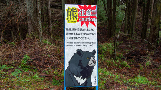
Kumamap: Counting Bears Is Not Measuring Risk

Why a Map of Bear Reports Isn’t a Map of Bear Risk More hikers and news outlets are now pointing people to Kumamap, a multilingual map of bear reports from across Japan. ABC News Australia profiled it in June, and CNN featured it in September in a...
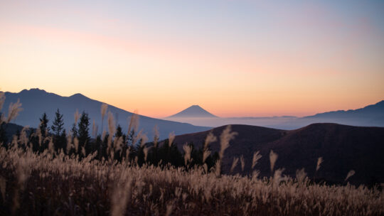
Kirigamine 霧ヶ峰

Hiked on Oct 18, 2026 . Kurumayama-kata 車山肩 – Mt. Kurumayama 車山 – Yashimagahara 八島ヶ原湿原   Duration: 5.5 hours   Distance: 16.5 km   Elevation change: 325 metres   Highest point: 1925 metres   Start: Kowashimizu bus stop   Finish:...

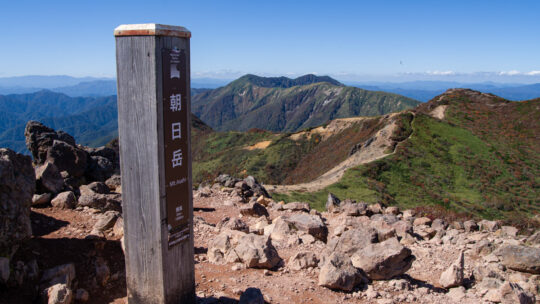
Mt. Nasu 那須岳

Hiked on Oct 8, 2026 . Nasu Ropeway 那須ロープウェイ – Mt. Asahi 朝日岳 – Okamaguchi お釜口   Duration: 4.5 hours   Distance: 6.8 km   Elevation change: 525 metres   Highest point: 1915 metres   Start: Nasu Ropeway bus stop   Finish: Nasu Ropeway bus...

Archives

Subscribe

Get the latest posts straight to your inbox. No spam, ever. Unsubscribe at any time.