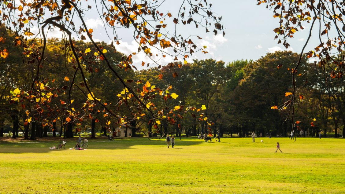
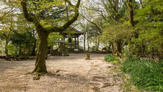
It’s Coffee Time: How to Support this Blog

Help Me Help You Publishing this blog provides a lot of pleasure and as such I want to do it well. That means not just helping or entertaining my existing readers, but also bringing new people in and encouraging them to get out and explore the...

Odashirogahara Marshland 小田代原

Hiked on Jun 9, 2017    June 15, 2023 . Ryuzu Falls 竜頭ノ滝 – Odashirogahara 小田代原 – Yumoto Onsen 湯元温泉   Duration: 4.5 hours   Distance: 10.4 km   Elevation change: 120 metres   Highest point: 1520 metres  ...

Using a Garmin Handheld GPS in Japan

Navigating the Pitfalls of Garmin Japan As someone who enjoys in the simplicity of navigating using a map and compass to find my way, I never really saw the necessity of investing in a handheld GPS unit. However, it’s not always beer and skittles...

Recapturing this 500-yen Banknote Classic

Mt. Fuji as Seen on the 500-yen Banknote Until the release of the 500-yen coin in 1982, its corresponding paper equivalent reigned for more than 40 years. In fact, it wasn’t until 1994 that the 500-yen banknote was finally withdrawn from circulation...

Mt. Gangaharasuriyama 雁ヶ腹摺山

Hiked on May 3, 2017    Apr 14, 2024 . Otoge 大峠 – Mt. Gangaharasuri 雁ヶ腹摺山 – Mt. Ubakoyama 姥子山   Duration: 2 days   Distance: 20.7 km   Elevation change: 1137 metres   Highest point: 1874 metres   Start:...

Japanese Vintage Hiking Maps

Vintage Maps that Continue to Soldier on After years of faithfully pointing sightseers in the right direction, these mostly painstakingly hand drawn Japanese hiking maps take on an ethereal quality of their own. Though they may have withered and at...

Kozushima: Tako Bay Campground

Discover one of Tokyo’s Hidden Gems Last year I had the good fortune of staying at the Sokodo campground on Hachijojima Island. For a free campground, the facilities were second to none and even provided hot water showers. This time I have travelled...

Mt. Tenjo 天上山

Hiked on Mar 29, 2017    Dec 11, 2021 . Mt. Tenjo 天上山   Duration: 6 hours   Distance: 10.6 km   Elevation change: 540 metres   Highest point: 572 metres   Start: Tako Bay Campground   Finish: Tako Bay...

Jomon Era: Kaniwa Cave

Hunter-gatherer Cave on a Chichibu Mountainside On a recent outing to the ruins of the former Mitsumine Ropeway in Chichibu, Saitama we spotted what appeared to be a cave in the distance. Never to let a good opportunity pass we decided to make the...

Archives