.
Kaze no Kamisama 風の神様 – Mt. Koyashiro コヤシロ山 – Mt. Minashi 実成山
Distance: 8.5 km
Elevation change: 402 metres
Highest point: 609 metres
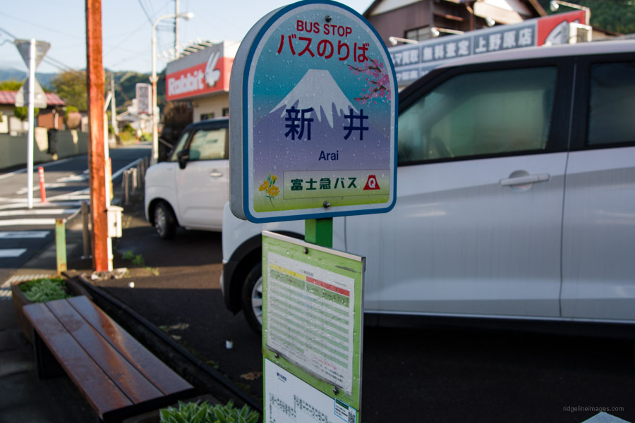
Start: Arai Bus Stop
Finish: Arai Bus Stop
Difficulty: ▅▅▅▅▅▅▅▅▅▅ ❷
Map: Yama to Kogen Chizu 山と高原地図 [No.29 高尾・陣馬 TAKAO·JINBA]
GPX TrackKML TrackGSI MAPPDF Topo Map
Low-lying Mountain with Historical Roots
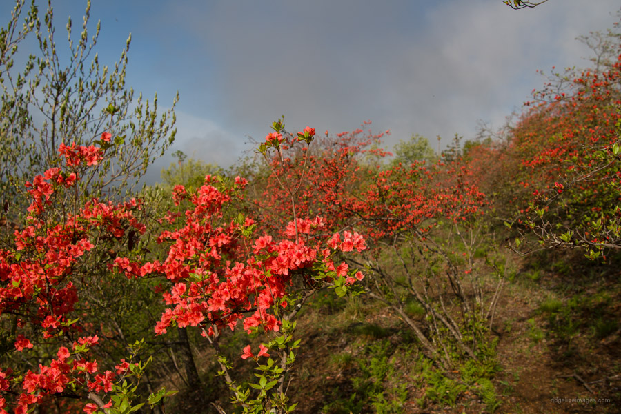
The nice thing about hiking around Tokyo is you don’t have to venture far to feel like you have. Case in point is Yogaisan (not to be confused with its more famous Kofu namesake) in Uenohara just three stops from Takao Station. For a relatively lowly mountain offers up some fine views, is beginner-friendly, and a top spot to enjoy ‘shinryoku’ (new green leaves) during spring. The hike can be undertaken in either direction but looping around left to right ensures the best views are had earlier in the morning.
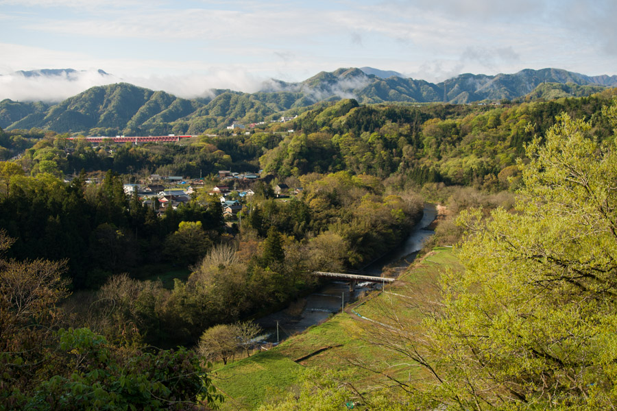
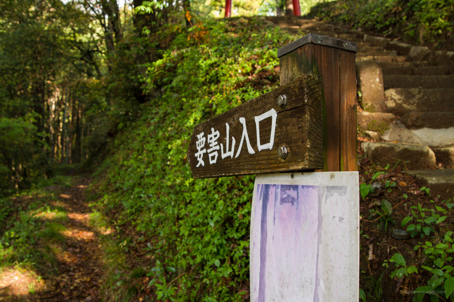
At Uenohara Station 上野原駅 head out the south exit (bus stand 1) and take a bus bound for Koden-seisakusho-mae 光電製作所前 and get off at 新井 Arai Bus Stop (15 mins, 270 yen) the second last stop. Less frequent but more convenient are buses that head to Tsuru Pass 鶴峠 in which case alight at Kyodobashi Bridge 鏡渡橋. From the bus stop it takes 15 minutes to reach Kyodobashi Bridge which marks the start of the hike. As you head up the paved road to your left, you can see the valley carved out by the Tsuru River a tributary of the Katsura River. The trailhead proper rests at the side of the Mountain Shrine 山神社.
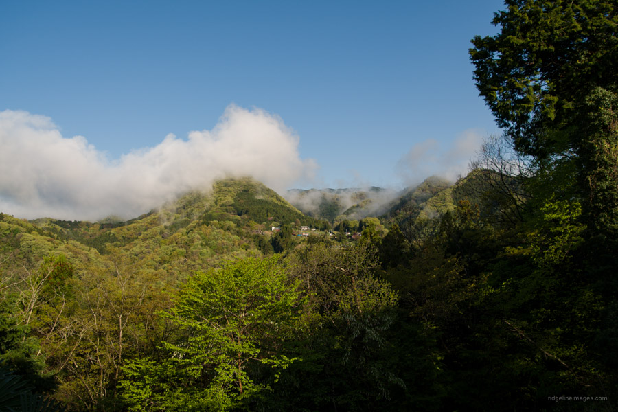
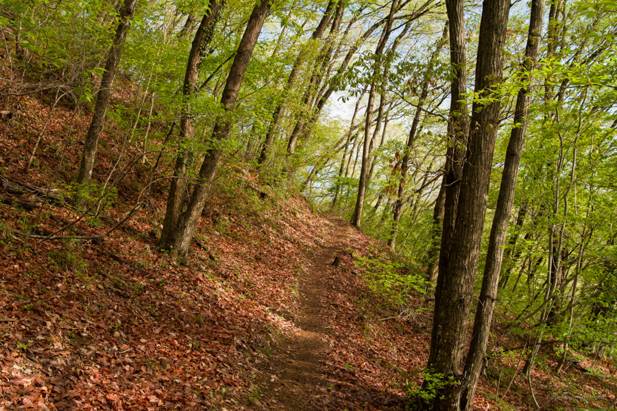
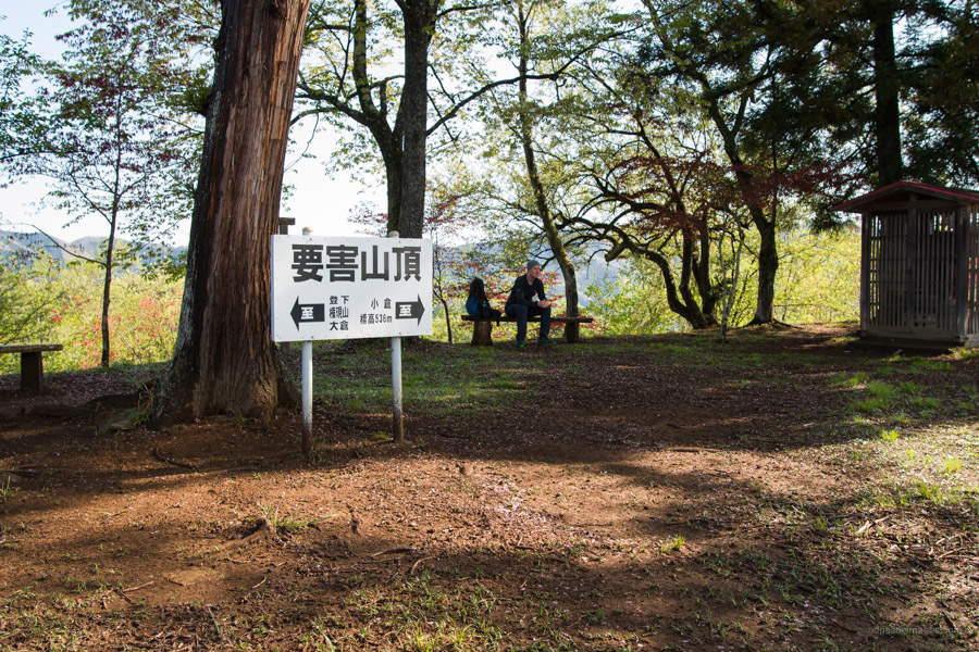
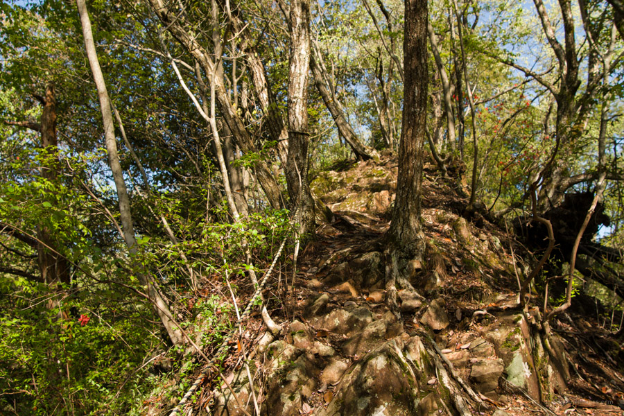
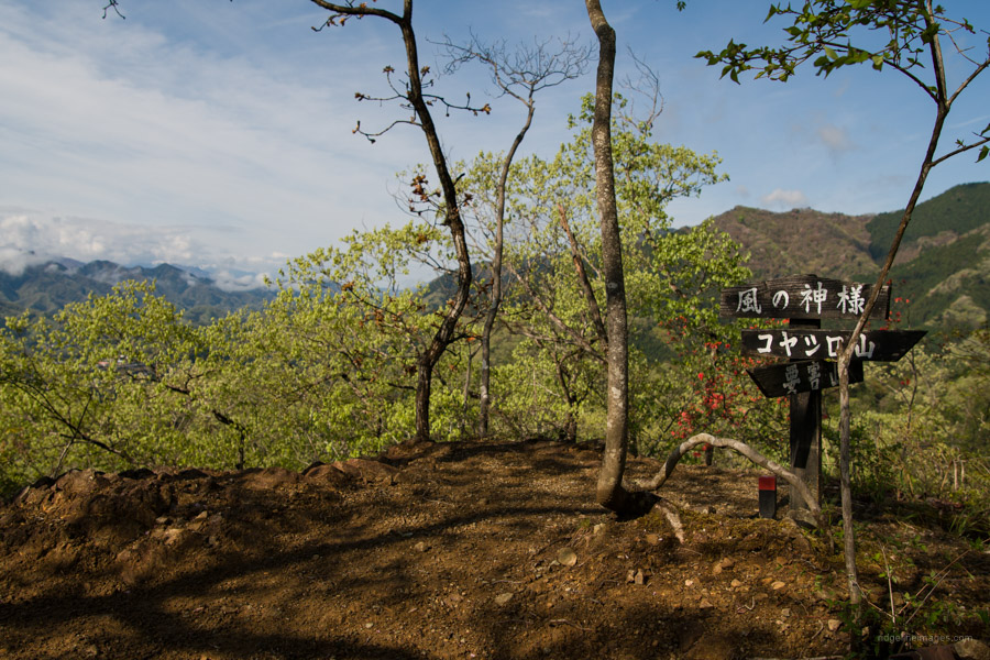
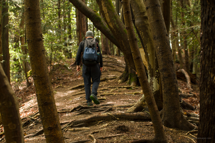
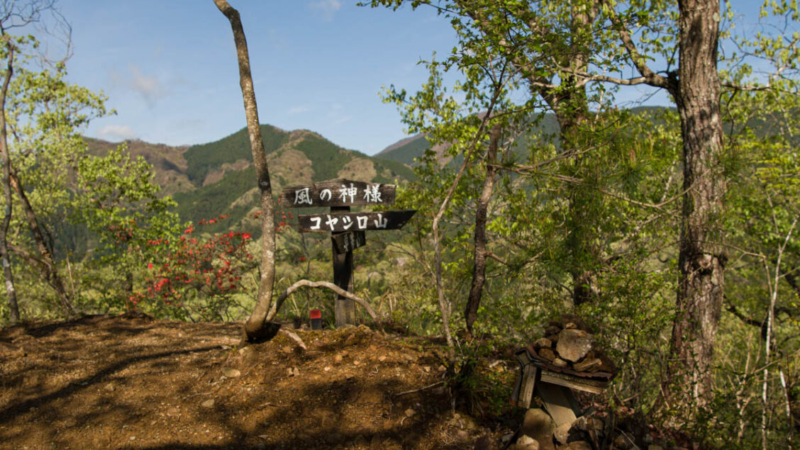
The hike climbs gradually through cedar forest and should take 30 minutes from the bridge to arrive at Mt. Yogaisan 要害山 (536 m). In fine weather the flat open summit has generous views across the Katsura River basin including Mt. Fuji and the Tanzawa Mountains. During the Warring States period 1467-1568 CE a citadel was built here that guarded the border between Kai, Sagami, and Musashi provinces. Hopes of even a fleeting view of Fujisan were dashed with low hanging cloud. After taking a rest on the rough-hewn seats the path drops to a saddle and trail branch before a short rocky climb to Kaze no Kamisama 風の神様 (540 m). After lapping up another good outlook take care with the rather steep descent with rope to help steady your footing.
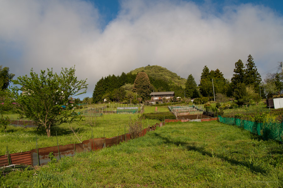
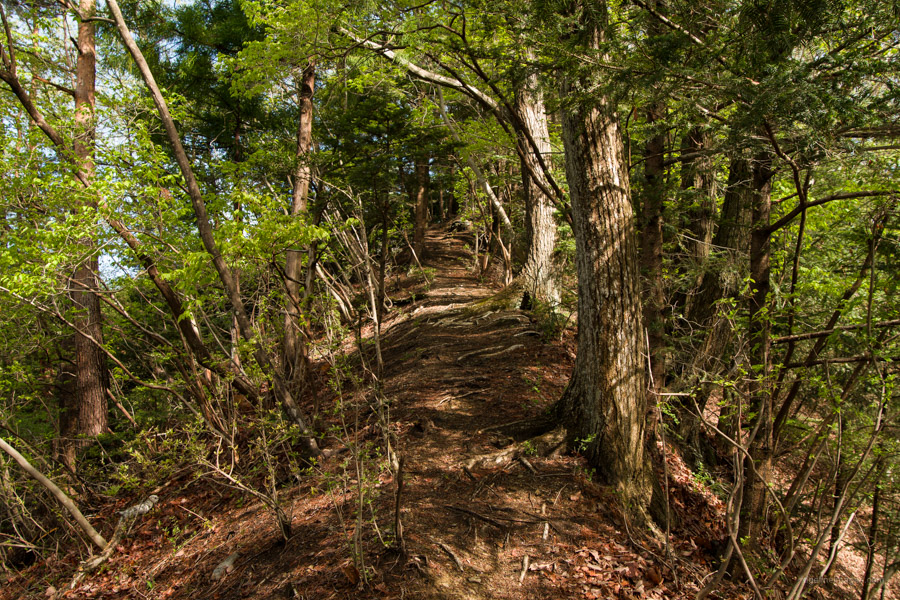
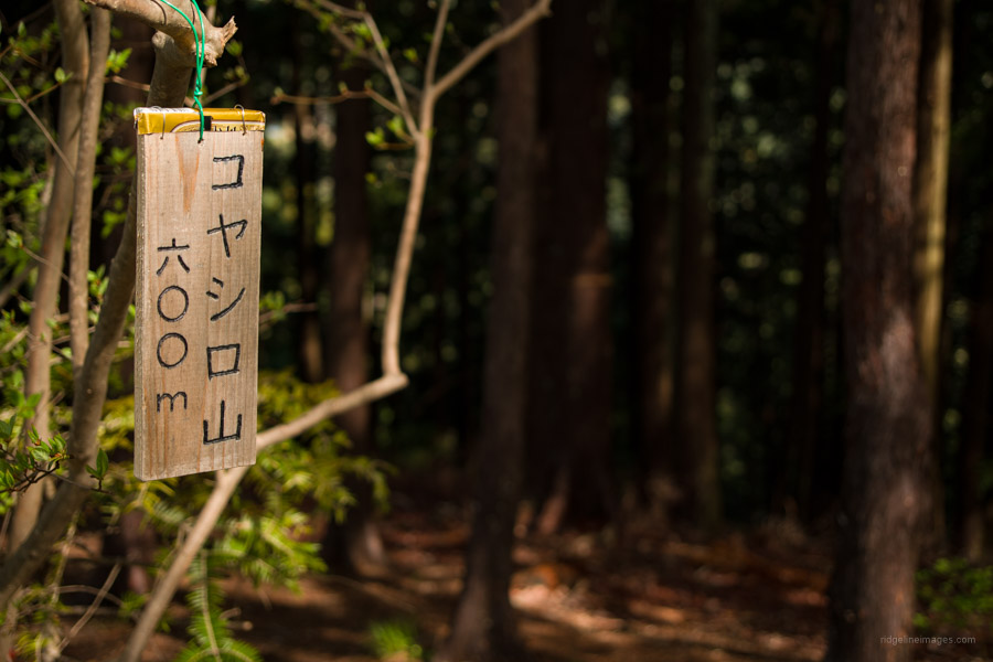
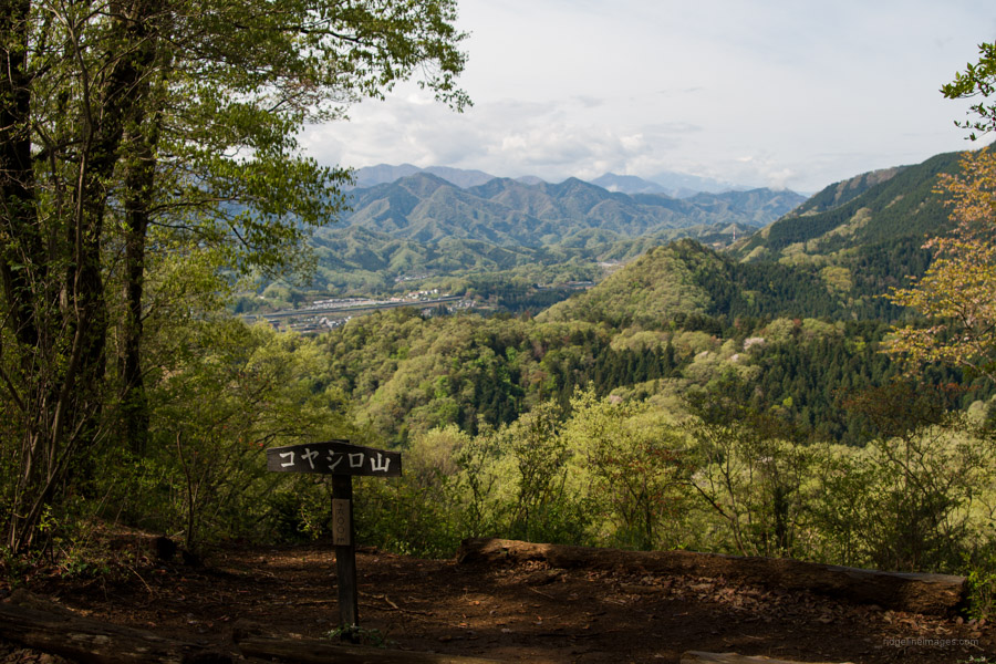
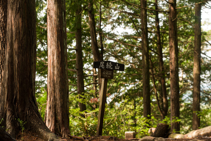
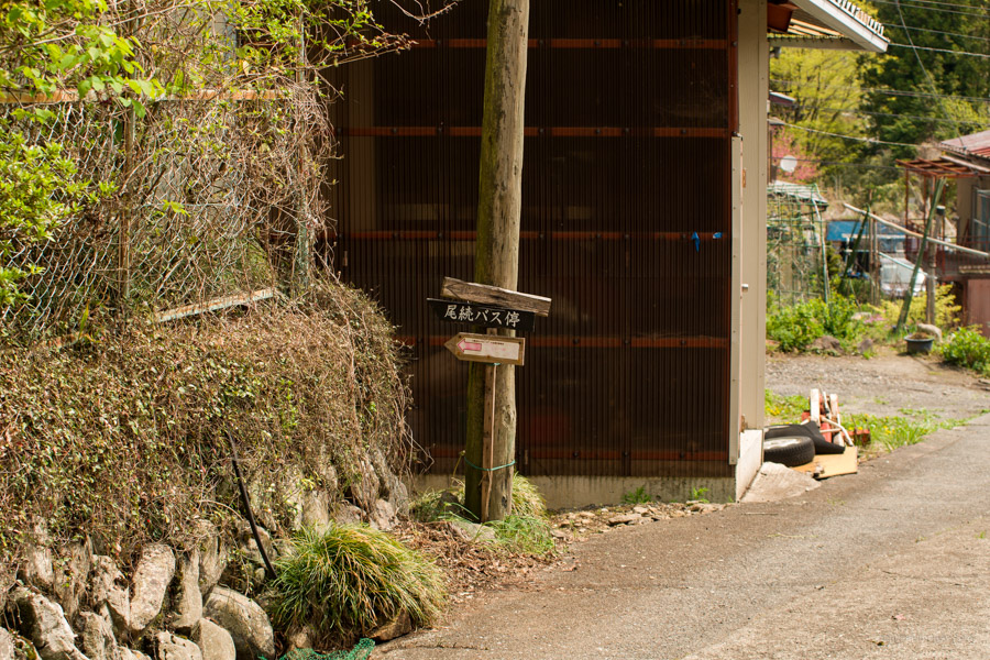
Next up as you carry on in a clockwise direction is Mt. Koyashiro コヤシロ山 that intersects at a trail branch. More of a hump than a mountain finds Mt Minashi 実成山 (609 m) marking the highest point of the hike. From here on you begin to lose elevation as the path widens as you pass Mt. Ozuku 尾続山 (538 m). The gentle descent passes through bamboo forest before exiting across from the Ozuku 尾続 Bus Stop. Infrequent buses almost guarantee you’ll have to walk back to Arai Bus Stop to catch a return bus to Uenohara Station.