.
Stone Buddha 石仏 – Hashita-toge 端足峠 – Lake Motosuko 本栖湖
Distance: 11.1 km
Elevation change: 550 metres
Highest point: 1485 metres
Start: Lake Motosuko Bus Stop (Blue Line)
Finish: Lake Motosuko Bus Stop (Blue Line)
Difficulty: ▅▅▅▅▅▅▅▅▅▅ ❸
Map: Yama to Kogen Chizu 山と高原地図 [No.34 富士山 FUJI-SAN]
GPX TrackKML TrackGSI MAPPDF Topo Map
Ascending the Dragon’s Peak in Cloud and Mist
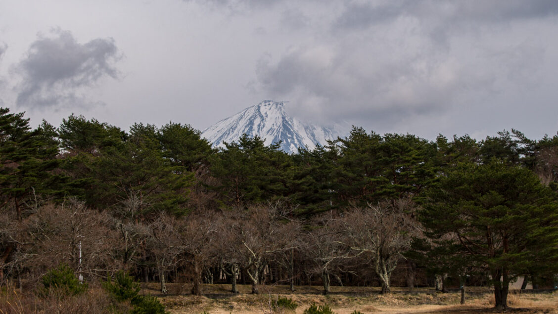
Sometimes you just can’t seem to catch a break. Ryugadake is a perfect case in point with fickle spring weather foiling my efforts to get a close-up view of Fujisan. For those of you fortunate to climb in less inclement conditions by all accounts it’s a show-stopper. The name Ryugadake or lit. Dragon’s Peak is derived not from its resemblance to a dragon, but according to legend when Mt. Fuji erupted a dragon lurking in Lake Motosuko fled the lava to nearby ‘Kofuji’ which became known as Ryugadake. The mountain rises above the southern shores of Lake Motosuko and is popular with climbers to view the hatsuhinode (the first sunrise of the year) and Diamond Fuji where the rising or setting sun aligns with the top of Mt. Fuji from early December to early January. The mountain’s gentle slopes make it suitable for novice climbers.
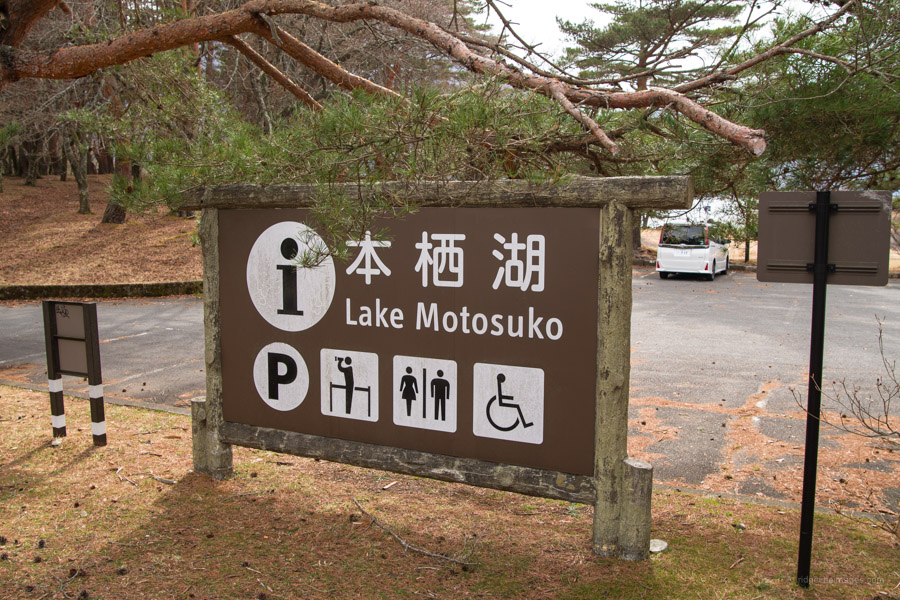
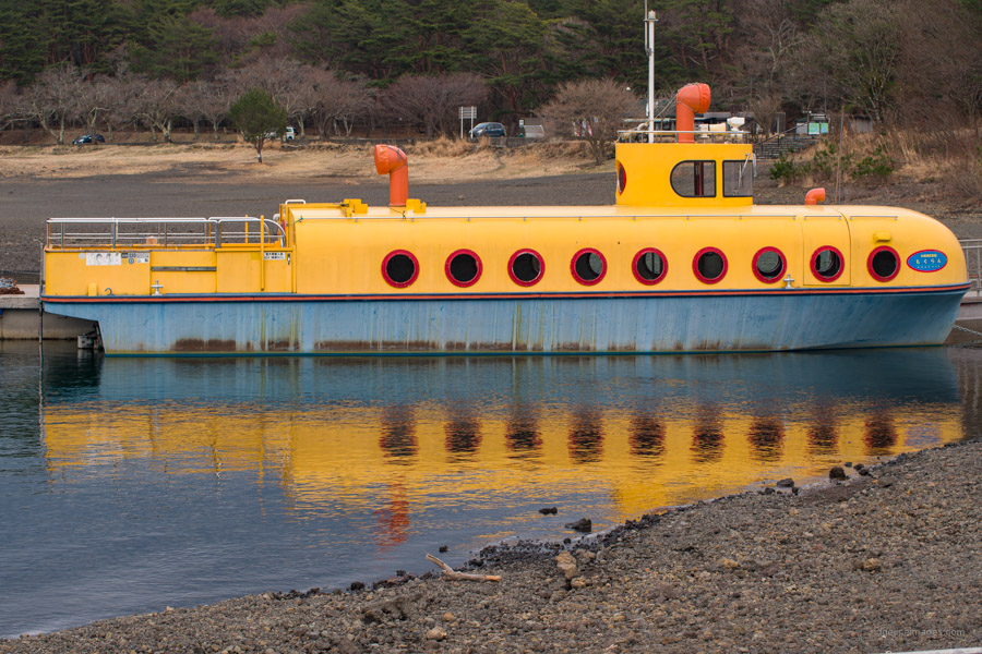
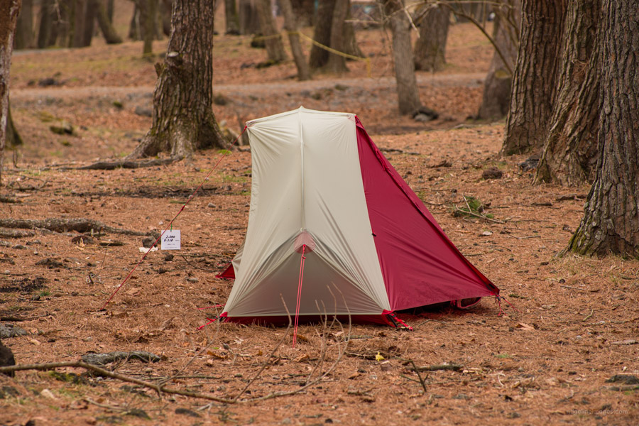
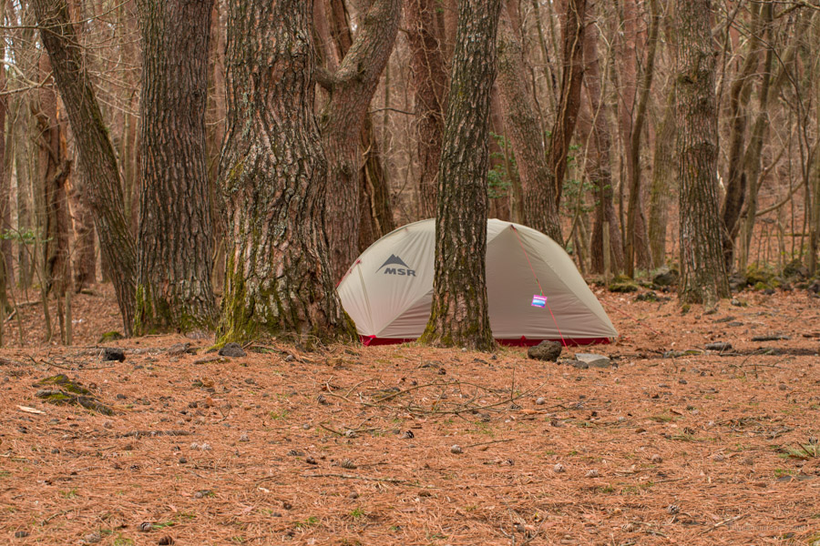
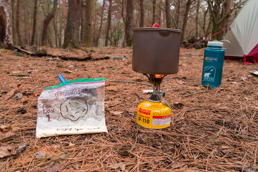
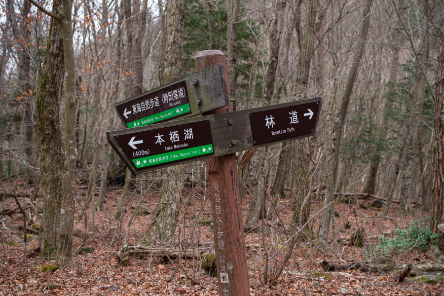
Getting to the Motosuko Campground 本栖湖キャンプ場 which marks the beginning of the hike requires riding the Fujikyu Railway Line from Otsuki Station to Kawaguchiko Station 河口湖 (57 mins, 1,170 yen) and transferring to the Motosuko sightseeing bus (Blue Line) (47 mins, 1,300 yen). Note there are only three daily buses so time your arrival accordingly. Alternatively take a bus bound for Shin-Fuji Station operated by Fujikyu Shizuoka Bus (bus stop no.4). During the summer it’s also possible to take a highway bus direct to Lake Motosuko from Busta Shinjuku. For this hike my plan was to arrive in the afternoon the day before and set up camp in the rather charming Motosuko Camping Ground (2,000 yen). From the Motosuko Bus Stop 本栖湖 head down a flight of stairs adjoining some shops. From here you can either follow the road around to the camp ground or walk along the lake shores via the yellow submarine curiously named ‘Moguran’.
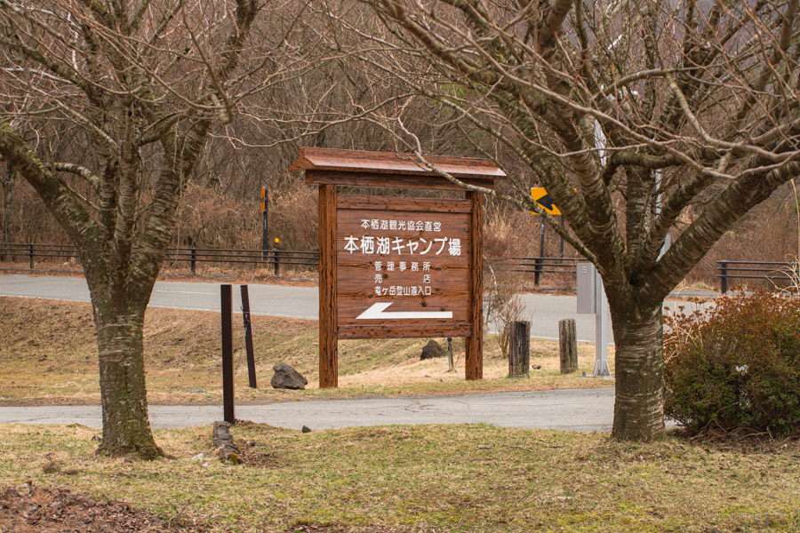
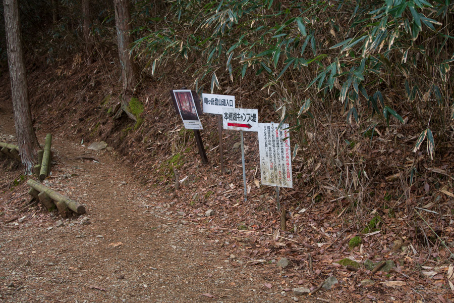
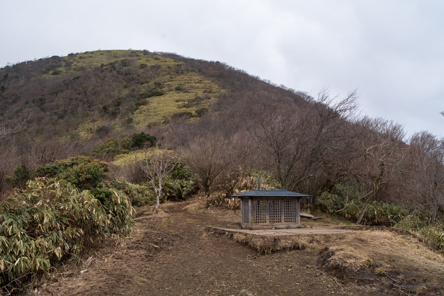
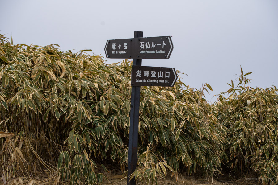
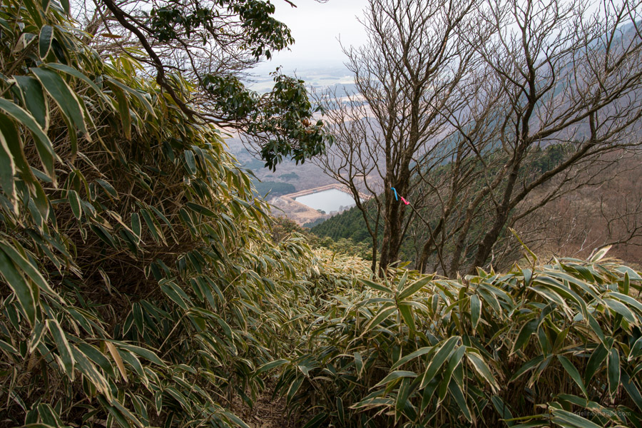
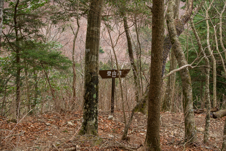
As you pass through the camping ground look out for several signs directing you to the Ryugadake trailhead proper. The trail quickly gains elevation through the coniferous forest zone as it winds up to a level area with views towards Lake Motosuko. The mountain trail is well maintained and easy to follow with plenty of signposts to ensure you won’t get lost. Before long the broadleaved forest is replaced with dense thickets of kuma-zasa (dwarf bamboo) which persists to the summit. If the weather cooperates expect an almighty spectacle of Fujisan from the lookout pavilion that rests nearby the Stone Buddha 石仏 dedicated to the legendary dragon.
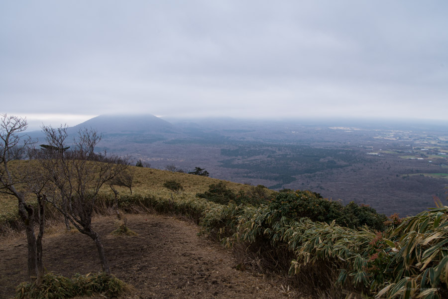
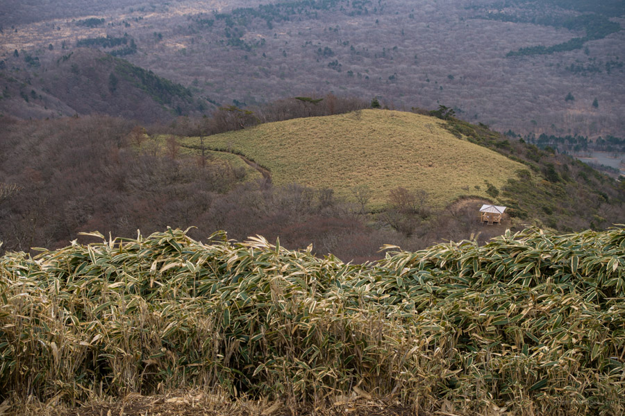
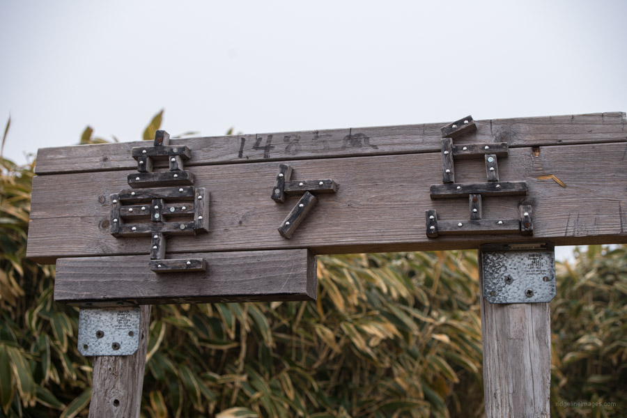
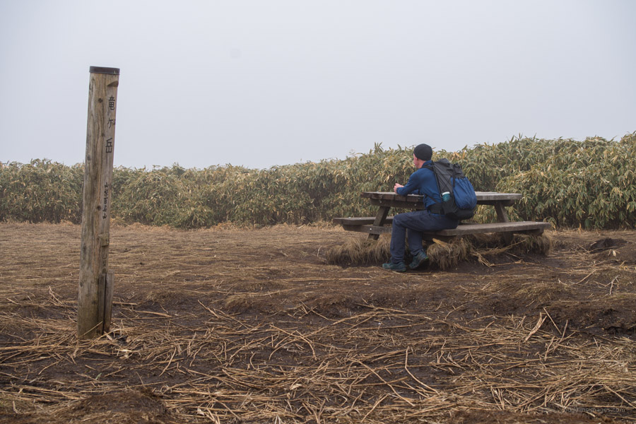
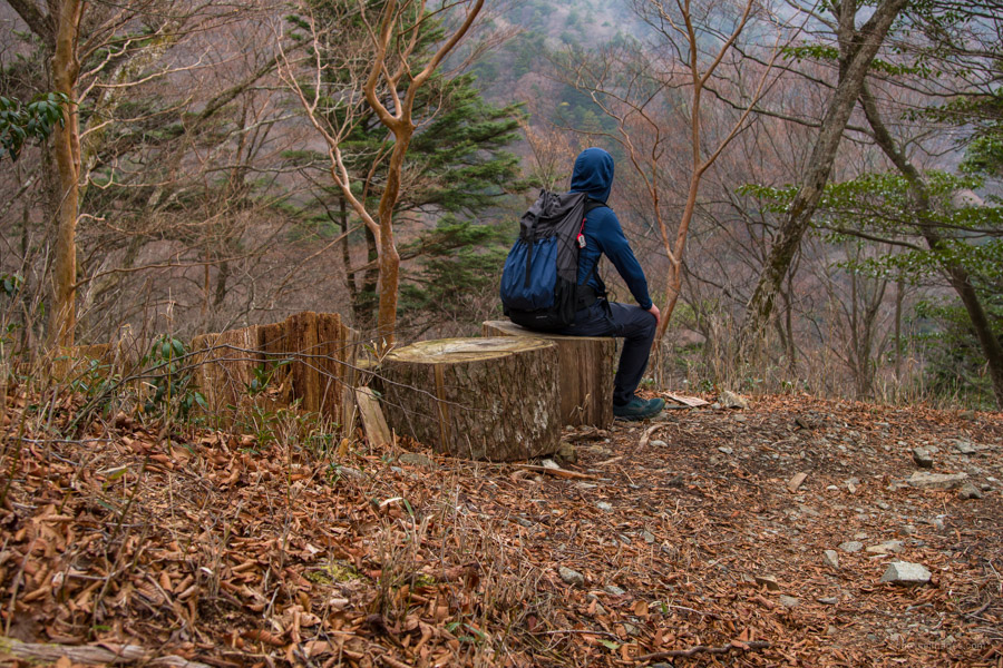
After taking a breather the trail launches into a series of switchbacks (around 40 by my count!). Roughly 10 minutes shy of the summit, you pass the lakeside climbing trail entrance 湖畔登山口. You can consider descending via this route on the way down as it’s an alternative way off the mountain. When the slope eases off, the high point is just around the corner. The flat open summit of Mt. Ryugadake 竜ヶ岳 (1,485 m) is surrounded on all sides by bamboo with unobstructed views of Mt. Fuji, Mt. Amegadake, Mt. Kenashi, the Southern Alps, Yatsugatake, Mt. Kinpu, and Suruga Bay towards Shizuoka. The picnic tables here make a good spot to take a leisurely lunch.
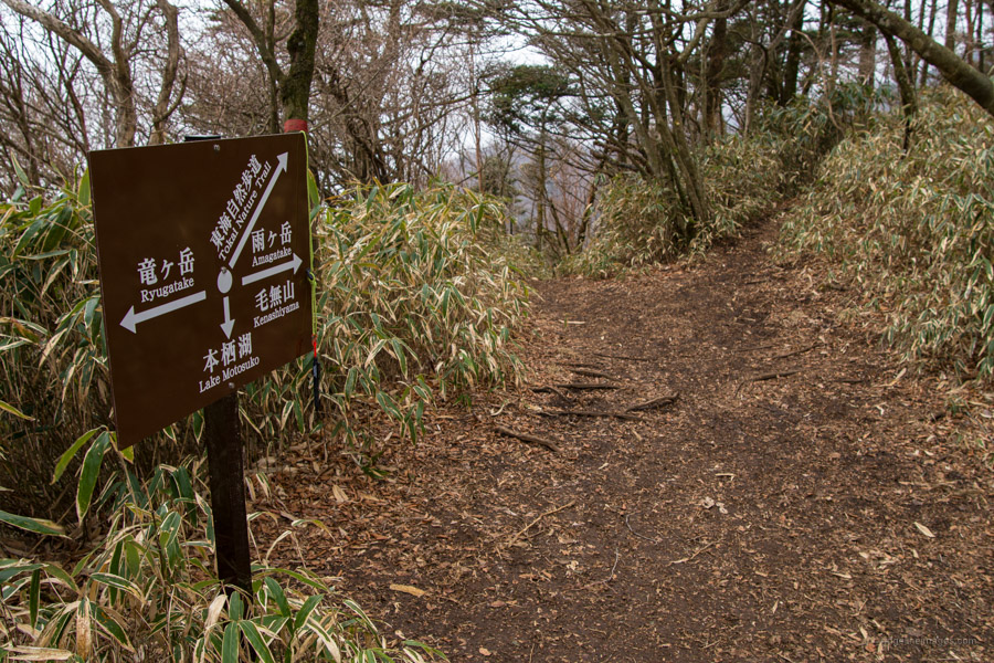
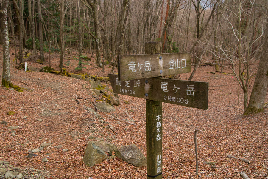
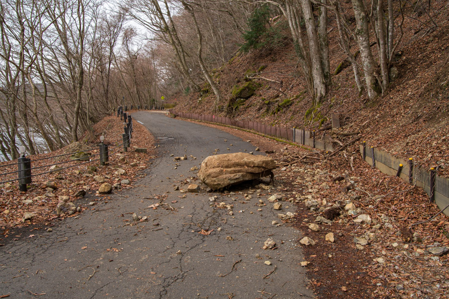
The loop course continues over the west side of the summit. Look for a signpost indicating the way to Hashita-toge 端足峠 and Mt. Kenashi 毛無山. Compared to the trail trodden on the way up the descent is rougher with extra care needed in the wet. It takes around 40 minutes to reach Hashita-toge (1,272 m). From the pass the ridge tracks north as you descend to Lake Motosuko. Note snow lingers in the shaded valleys until around March. As you near Motosuko the trail is faint at times so keep an eye on the red tape. A little before the prefectural road there is a fork with an option to tackle the Lake Motosuko Promenade 本栖湖遊歩道 I recommend giving this a wide berth as after venturing in a couple hundred metres it was apparent that it hasn’t been maintained, narrowing to the point of being dangerous in parts.
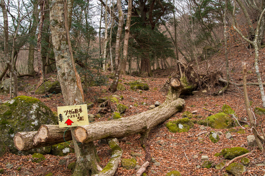
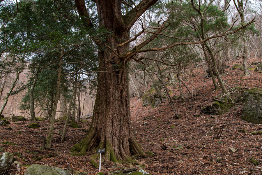
Given the state of even the prefectural road i.e., strewn with boulders and fallen branches I feel it was a shrewd decision. On the way back along the road keep an eye out for a magnificent Southern Japanese hemlock (Tsuga sieboldii) worth stopping by to admire. From the campsite pack up the tent and wait for the return bus to Kawaguchiko Station.


Bummer about the weather. 🙁
Thanks for the idea. I want to do an overnight soon. I might do the same plan you did.
Hike on.
When it comes to hiking always best to expect the unexpected. Depending on the weather you might want to consider hiking on day one rather than wait like I did.
The weather is often such a crapshoot. I look at 2 or 3 different weather forecasts and they often contradict each other. I usually don’t decide until the morning. Even so, now I’ve come to just go 9 times out of 10. Unless there is serious weather about, I just go. So many times the weather forecast has been less than stellar in the morning but has been wrong. I have been pleasantly surprised with nice weather more often than not. Now I just accept that a certain number of trips are not going to be the most photogenic.
Funnily enough, I started from that Motosu Lake bus stop last weekend on a section hike of the Tokai Nature Trail. From there, I hiked the opposite direction, skirting through Aokigahara to Fuji Q Highland. Got caught in high wind and rain on top of Mt.Ashiwada (1450m ish) near Lake Sai. Good test of gear that was.
I noticed a signpost referring to the Tokai Shizen Hodo near the camp ground. I just checked the map and looks like you knocked off a very decent leg last weekend. Glad your gear held up alright 😊
The first third of that hike until the Narusawa ice cave is through a forest of moss encrusted black volcanic rock w/ a 3 metre-wide flat pine bed floor — one of the best section of hikes I’ve ever done. The suicide forest was amazing. I enjoyed it more than Yakushima’s Shiratani Unsuikyo (Princess Mononoke forest).