.
Akiyama Nijurokuya-yama 秋山二十六夜山 – Tateno-toge 立野峠
Distance: 10.4 km
Elevation change: 442 metres
Highest point: 972 metres
Start: Shimozaki bus stop
Finish: Yanagawa Station (Chuo Main Line)
Difficulty: ▅▅▅▅▅▅▅▅▅▅ ❸
Map: Yama to Kogen Chizu 山と高原地図 [No.29 高尾・陣馬 TAKAO·JINBA]
GPX TrackKML TrackGSI MAPPDF Topo Map
A Confusing Name and One Big Japanese Black Bear
Mt. Nijurokuya is one of Yamanashi’s 100 famous mountains, positioned between the Akiyama ridge stretching south of the Katsura River and the Doshi mountain range. It’s also known as Akiyama Nijurokuya-yama to distinguish it from the similarly named Mt. Nijurokuya or Doshi-Nijurokuya 道志二十六夜山 in Tsuru City.
I actually ran into some confusion here. On a previous hike to Mt. Imakura, I thought I had already climbed Mt. Nijurokuya, but it turns out that was the mountain in Tsuru City. What tipped me off was Emma Goto’s write-up of Mt. Imakura, where she noted that “Mt. Nijurokuya” has an elevation of 972 metres, exactly the height of Mt. Imakura in Akiyama, Uenohara City. Another perplexing detail is that while the Mt. Nijurokuya in Tsuru City boasts expansive views, the one on the official list offers none at all.
To reach the trailhead, take the bus bound for Mushono from Bus Stop 4 (the small island stop) at Uenohara Station 上野原駅 and get off at Shimozaki 下尾崎. The ride takes about 40 minutes and costs 900 yen. Note that there is only one morning departure at 8:43 am on weekends and public holidays and 8:40 am on weekdays. With just one other passenger on board for most of the journey, the ride felt almost like having a chartered bus to myself. Kudos to the bus driver, as the route includes some extremely narrow stretches reminiscent of the road to Nippara in Okutama.
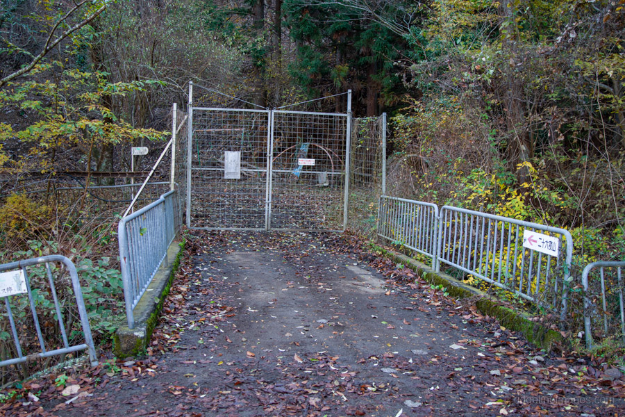
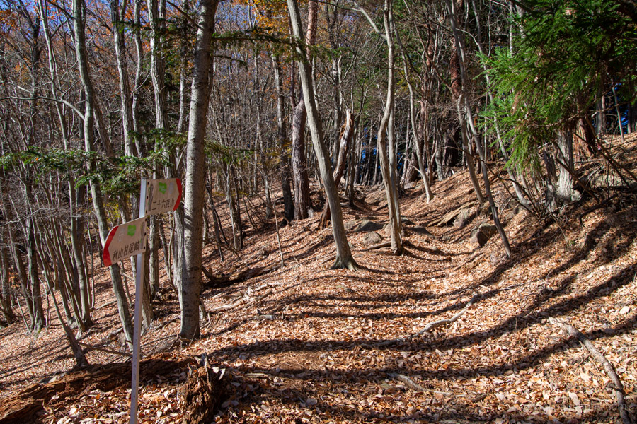
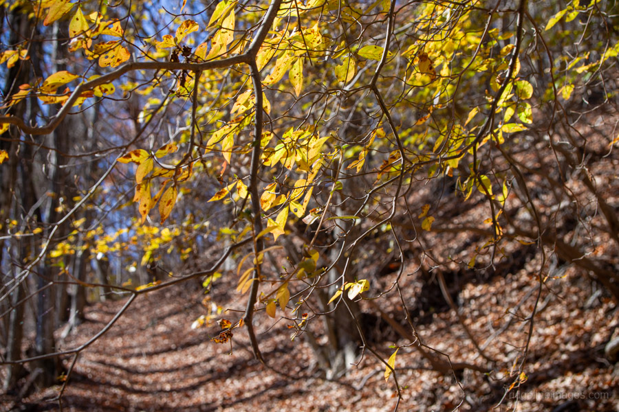
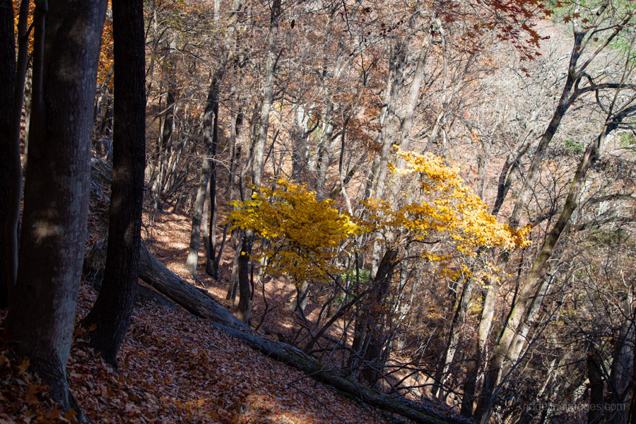
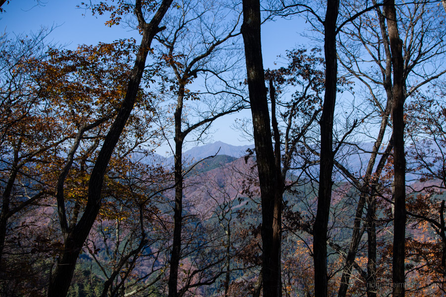
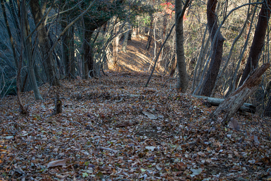
Once you get off the bus, continue briefly in the same direction it was heading, then turn left and follow the minor road to the gate that marks the official start of the trail. Beyond the gate, the rough path passes through plantation forest before climbing a long, gentle ridge. Surprisingly, even in late November there were still some lingering autumn colours.
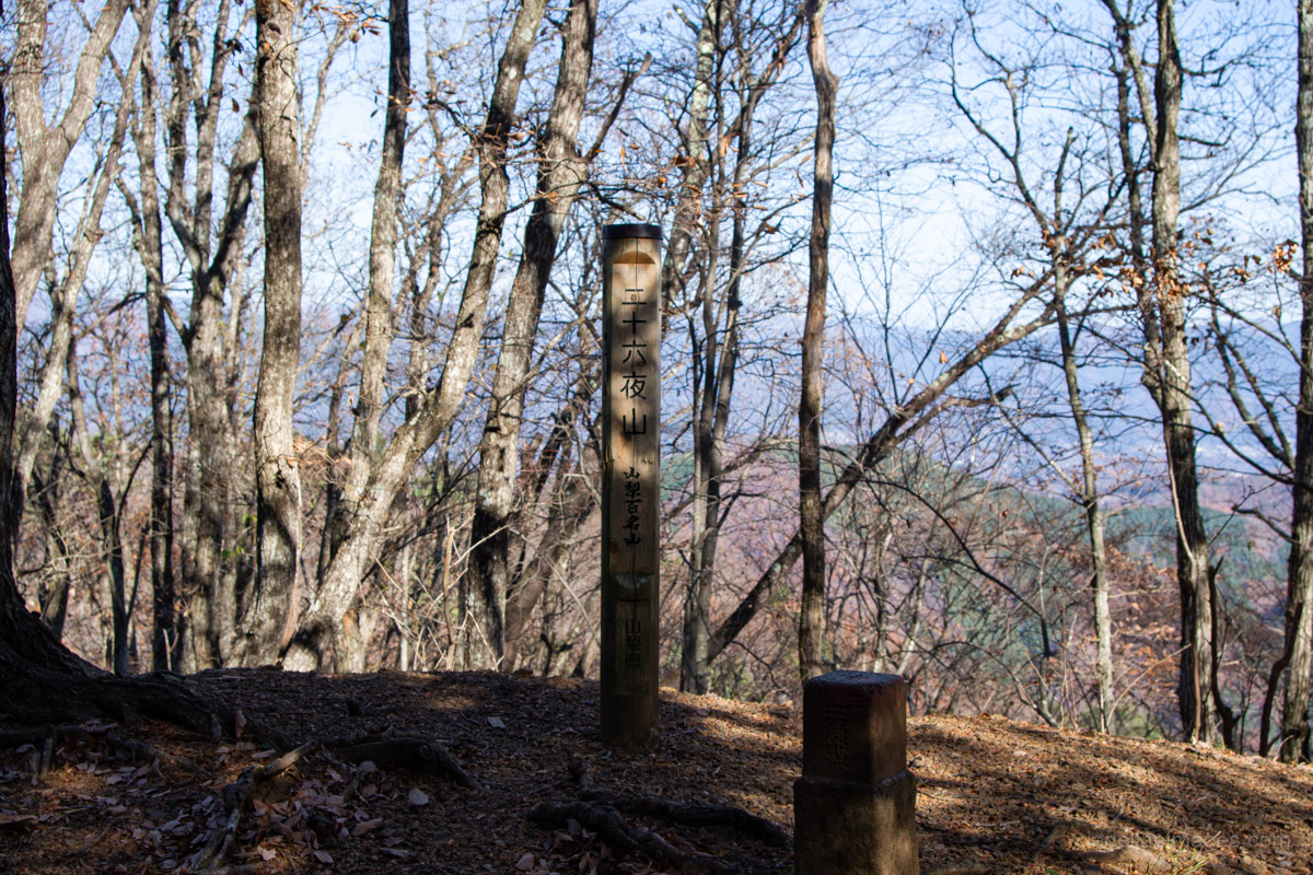
Although the map suggests 90 minutes to the summit, it can be done comfortably in about an hour. Near the top you’ll find the Nijurokuya-no-sekito 二十六夜の石塔, a stone monument indicating that a moon-viewing event was traditionally held here on the 26th day of the seventh lunar month when the moon rises at its latest.
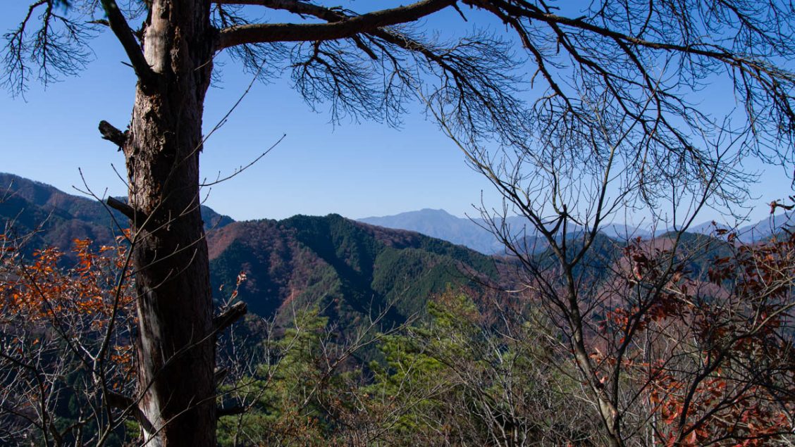
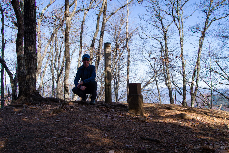
From the trail junction, the summit of Akiyama Nijurokuya-yama 秋山二十六夜山 (972 m) is less than a five-minute walk. As mentioned earlier, however, it is completely enclosed by trees and offers no views. It’s quite possible that when Yamanashi’s 100 Famous Mountains list was compiled back in 1997, the summit was still open. If that’s the case, perhaps it’s time to consider a switcheroo with the far more scenic one in Tsuru City.
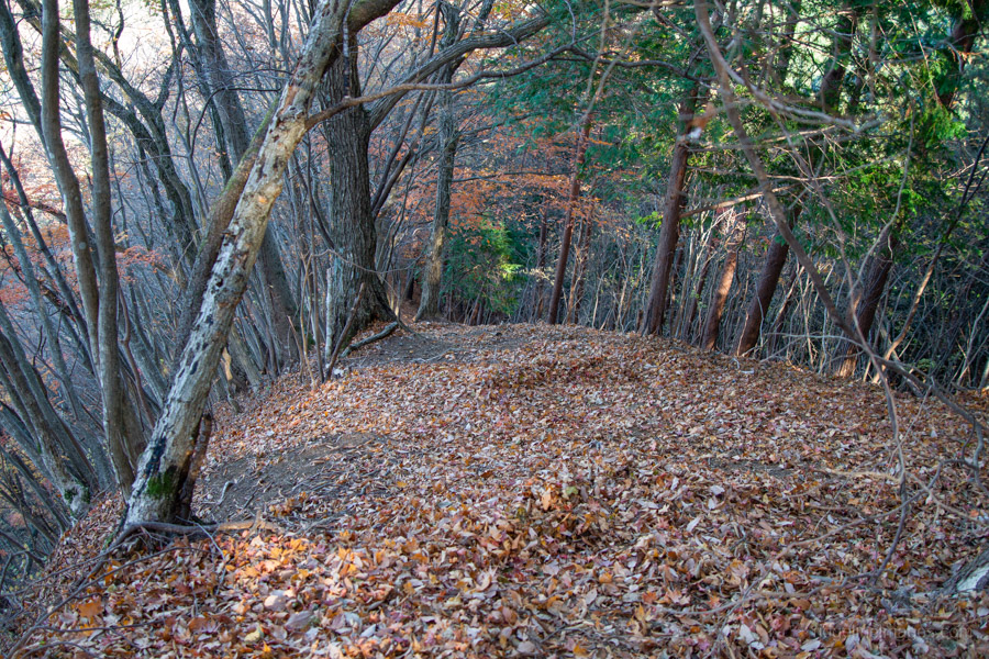
After returning to the ridgeline, turn left and begin the descent back towards the road. The initial stretch down to the next trail branch and Myojo-daira 明星平 isn’t particularly steep, but the grade soon increases sharply. Combined with a layer of dried leaves underfoot, the trail becomes quite slippery, and without trekking poles I often had to use my hands to steady myself and clamber down safely.
About a third of the way down, I encountered every hiker’s worst nightmare. At first, I heard some commotion nearby – initially, I assumed it was someone doing forestry work or something similar. But the noise didn’t sound mechanical – it was heavy, the kind of noise only something big could make. My next thought was, “I bet that’s a friggin’ bear”. It was simply too loud and too deliberate to be anything else. And sure enough, it was a large black tsukinowa-guma (Japanese black bear) moving slowly through the leafy undergrowth.
Thankfully, it wasn’t heading in my direction but was about 40 metres away to my left side. It paused briefly, glanced over at me, then continued foraging. All I could think about was getting myself out of there as quickly and calmly as possible. A few minutes later, I passed another hiker heading up. He looked shocked when I told him but still continued upward.
Would this encounter make me tell others to avoid the hike? No, it wouldn’t. This is the nature of the beast, quite literally: we’re entering its territory. And honestly, the risks hikers face from falls, slips, or injuries still far outweigh the small chance of a bear attack. Still, the encounter did drive home the reality that the odds of running into a bear on the trail seem to be rising these days. This one also marks my third bear sighting in the past four years.
I’ve got to say I don’t think I ever felt more relieved to reach civilisation after passing through another animal-proof fence into a lively campground which seemed to be hosting some type of rave party before returning to the road. On the other hand, given that there was still another mountain pass to negotiate to get back to the Chuo Line, I still had some work ahead of me.
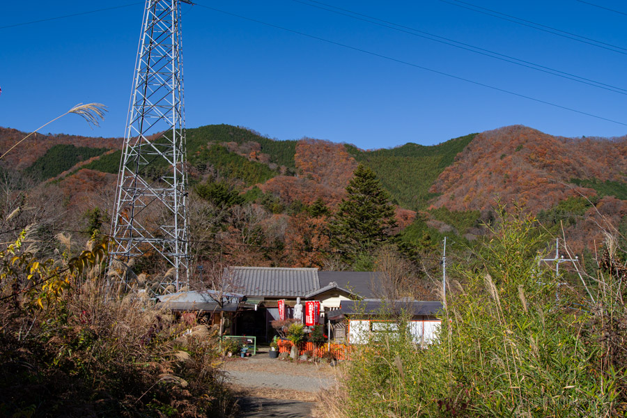
From the Hamazawa bus stop 浜沢, the trail climbs through more stretches of plantation forest on its way up to Tateno-toge 立野峠. As you can imagine, there was plenty of hand clapping as I made my way towards the pass. With only the final descent to Yanagawa Station 梁川駅 remaining and the sun warming the ridge, I finally allowed myself a relaxed lunch break. It was here that I met only the fourth person I’d encountered on the entire hike, which I suppose isn’t surprising given that Nijurokuya-yama is hardly a major crowd drawer with its completely non-existent views.
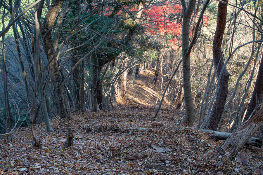
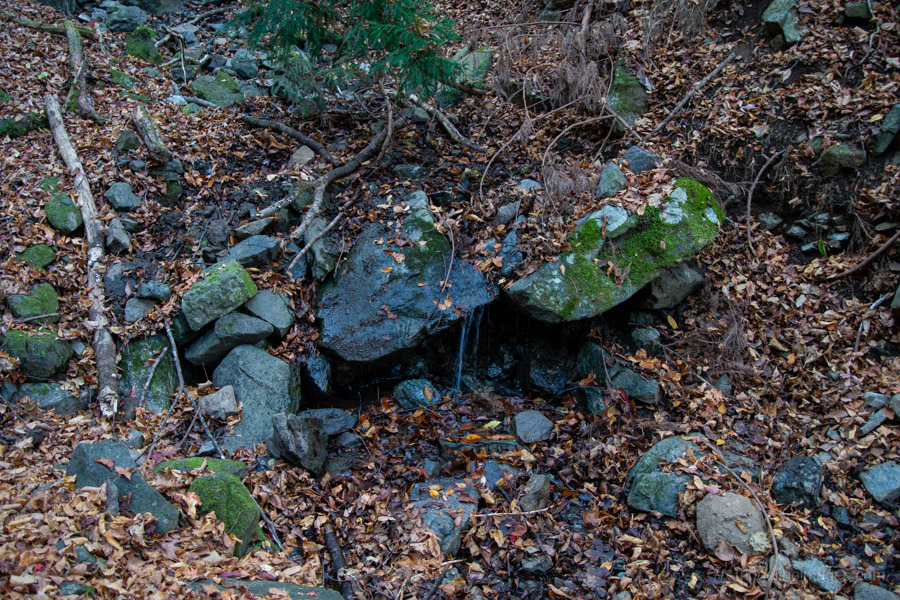
The final section of the hike descends gently through a valley, following the same route I took on my Mt. Kuratake hike years ago. About ten minutes down, you’ll pass a small water source. The scenic Tateno River runs alongside the trail, crossing it several times before the track eventually emerges onto a road that leads back to Yanagawa Station.


Thanks for another Chuo-sen hike. I’m glad you survived your bear encounter. Are you using a bell and carrying bear spray. I finally broke down and bought a bell, but will only use it when I am alone on the trails.
Unfortunately, this one isn’t exactly overflowing with views, but it’s quiet, not too tough, and you’re unlikely to run into many people out there.
Fair enough about the bear bell. As for bear spray, it definitely falls into that category of “you’ll wish you had it only when it’s already too late”. In short, I’m not carrying it at the moment, but it’s something to consider for the future.
Hi David
Unless I’m being dim, I think you might have overlooked specifying the station where you catch the bus to the trailhead? Is it Uenohara?
Your site is incredibly informative and useful – thanks so much for all the info you provide. (Including this time a good lesson in what to do if you encounter a bear!)
Cheers, Simon
Hi Simon,
Good catch! Sorry about that. I’ve now added the missing info: the bus leaves from Uenohara Station.
And thanks for the kind words, really glad to hear the site’s been useful.
Ah, looks like I typo’d on the peak height for Mt Nijurokuya – I must have googled the height and ended up with 971m, but if I look closely at the picture of the peak marker I took, I can see it says 1297m. Will fix that up! 😅
Peak heights can definitely be sneaky, especially when two mountains share the same name. And thanks again, because your write-up was actually what first tipped me off to the whole “which Nijurokuya is which” puzzle in the first place. 🙂
Mmm, thought-provoking that you encountered a bear so close to a bus stop. How long will it be, I wonder, until these ursine types start commuting into town … ?
Haha, right? At this rate we’ll have bears tapping into the city on Suica.