.
Higashisenba 東仙波 – Mt. Karamatsuo 唐松尾山 – Mt. Kasatori 笠取山
Distance: 12.7 km
Elevation change: 758 metres
Highest point: 758 metres
Start: Motomachi Port Ferry Terminal
Finish: Mt. Mihara entrance bus stop
Difficulty: ▅▅▅▅▅▅▅▅▅▅ ❷
Map: Mt. Mihara hiking map
GPX TrackKML TrackGSI MAPPDF Topo Map
Sea to Summit up Mt. Mihara
Izu Oshima is both the largest and closest of the Izu Islands situated at the far end of Sagami Bay. On clear days the island can be seen from as far as Mt. Oyama some 80 kilometres away. The cheapest way to Izu Oshima is by large passenger ship which departs daily at 22:00 from Takeshiba pier near Hammamatsucho Station. A 2nd class ticket will set you back 4,510 yen for the 8-hour overnight crossing. Mt. Mihara which soars in the middle of the island is an active volcano erupting mostly recently in 1986 necessitating the evacuation of the island’s 10,000 inhabitants.
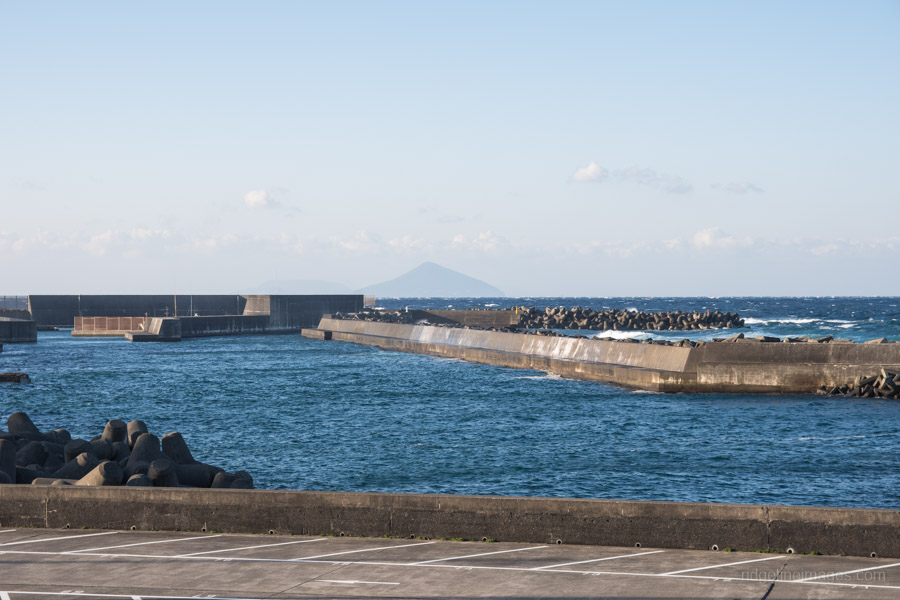
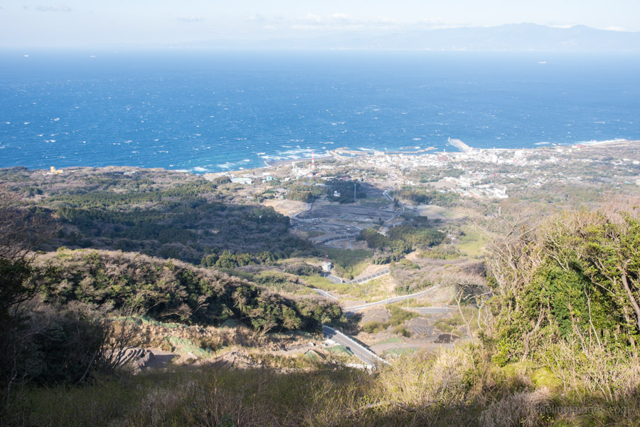
The island has two main ferry ports namely Okata and Motomachi. The newly refurbished Okata Port handles most of the day to day ferry activity. After hopping off the ferry make a beeline for one of the waiting yellow Oshima buses heading to Motomachi Port 元町港. Alternatively, if don’t wish to hike sea to summit you can take a bus directly to the Mt. Mihara entrance bus stop. At the Motomachi Port Ferry Terminal store your gear in a locker and make your way down to the Gojinka Skyline Road.
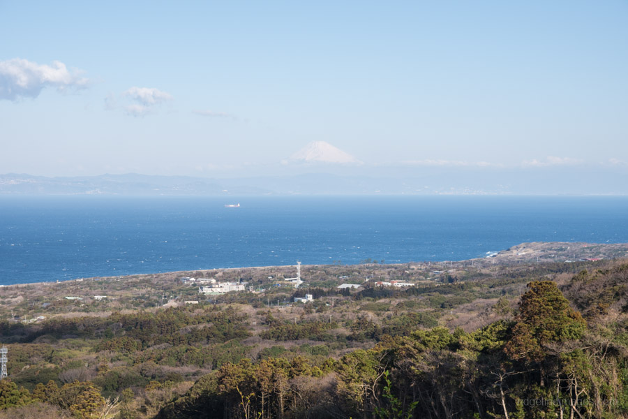
From the Motomachi side the only real option is to road hike 7.2 km up to the Mt. Mihara trailhead. On the east side of the island there is the Texas hiking trail which climbs up from Tokyo Toritsu Oshima Park. If the weather cooperates, an excellent view is afforded across to Mt. Fuji. At a steady pace it should take around 1 hr 45 mins to reach the upper carpark picking up 555 metres of elevation in the process.
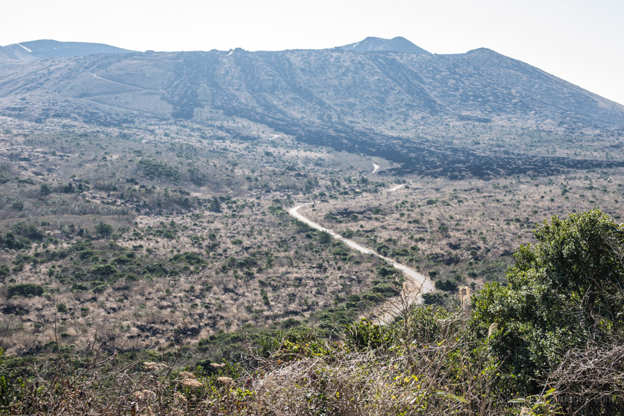
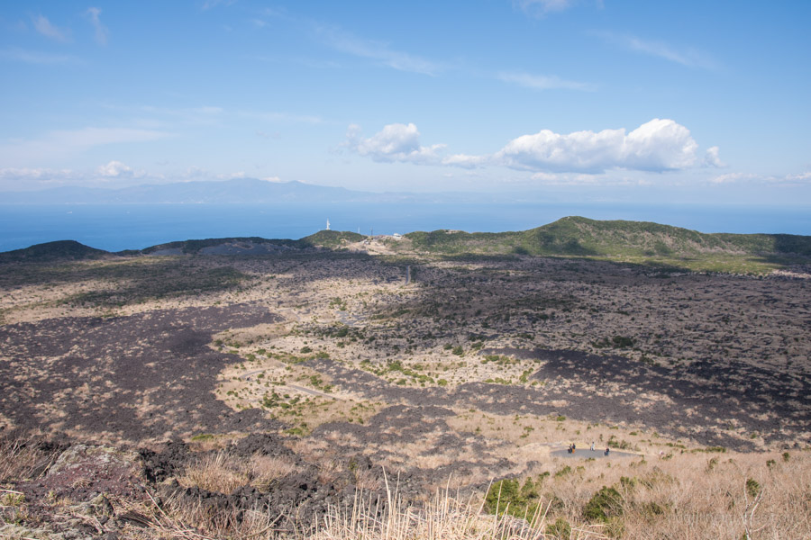
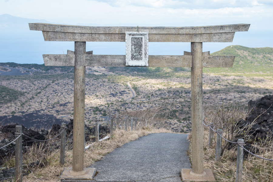
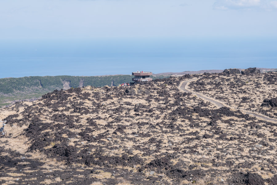
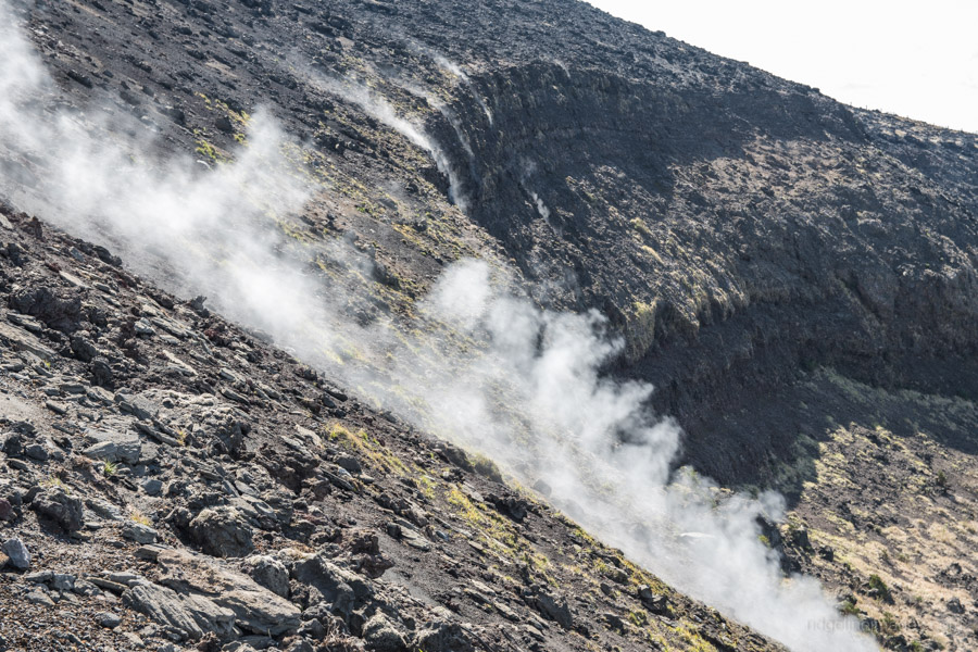
Most folk take the paved main ‘mountain trail’ which commences outside the police box. The other option is to hike via the outer rim trail. It takes around 30 minutes to reach the Mihara Shrine and crater lookout tower. Park authorities have installed several concrete emergency shelters for when the unthinkable happens. One only needs to see the numerous fumarole vents emitting water vapour heated by the magma lying close to the surface to see why this was an astute decision.
Following counter clockwise around the caldera you pass Mt. Mihara 三原山 (758 m) followed by Kengamine 剣ガ峰 (749 m). After passing through the fumarole steam area you reach the turn off for the Texas trail テキサスコース which later branches with the Mt. Mihara hot spring trail 三原山温泉コース (this hike loops back to the Mt. Mihara entrance bus stop). The return bus stops by the Mt. Mihara hot spring which is open daily from 13:00. Note the last bus back to Okata Port departs at 15:20 from the trail entrance. As there are no direct buses back to Motomachi you will need take a connecting bus at Okata. If you’re staying to the Toshiki Campground near Habu Port you’ll need to take three buses in total.