.
Himuro Shrine 氷室神社 – Hokora Hut ほこら小屋 – Mt. Hadaka 裸山
Distance: 16.2 km
Elevation change: 1276 metres
Highest point: 2052 metres
Start: Hirabayashi Bus Stop
Finish: Hirabayashi Bus Stop
Difficulty: ▅▅▅▅▅▅▅▅▅▅ ❸
Map: Yama to Kogen Chizu 山と高原地図 [No.44 北岳・甲斐駒 KITA-DAKE·KAIKOMA]
GPX TrackKML TrackGSI MAPPDF Topo Map
Climbing Kushigatayama Via a Lesser Used Trail
For those looking for an enjoyable and not too challenging overnight hike Kushigatayama a 200 Famous Mountain in Yamanashi ticks most of the boxes. For starters, a subsidised city bus drops you close to the trailhead, next is a nicely positioned water source on the way to the mountain hut and topping things off is a spacious campsite, water hole and toilets alongside the clean and well cared for hut. You can’t ask for much more than this. While the 1,300 metres in elevation gain will keep you honest the trail is generally easy to follow with no dangerous parts. Due to limited public transport options, it is best done as an overnight hike.
Day 1: Plantations Give Way to Primeval Forest (5.2 km)
Access to the trailhead is met by taking a Limited Express or local train to Kofu Station and transferring to the Minobu Line for Kajikazawaguchi Station 鰍沢口. While transferring at Kofu Station is straightforward, note that the Minobu Line is operated by JR Central, so transportation IC cards such as Suica or Pasmo cannot be used. You’ll need to exit the ticket gates and purchase a paper ticket. Failing to do so can cause issues when paying later, so be sure to buy your ticket in advance.
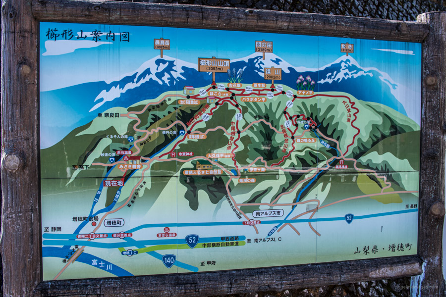
At Kajikazawaguchi Station hop on a bus bound for Hirabayashi 平林 and get off at the last stop (200 yen). Of the five routes to the summit only the South Ridge Trail 南尾根登山道 is accessible by public transport. Note the local city bus only runs-on weekends and public holidays. The first of the three weekend buses departs at 7:00 am thus for Tokyo based hikers you’ll need to travel up the previous day and find somewhere to stay if you plan to do this as a day trip. Alternatively catch the second bus at 11:15 and camp at the Hokora Hut. Most day-trippers park at the Lake Teahouse Trail 池の茶屋登山道 where the elevation change is reduced to less than 200 metres.
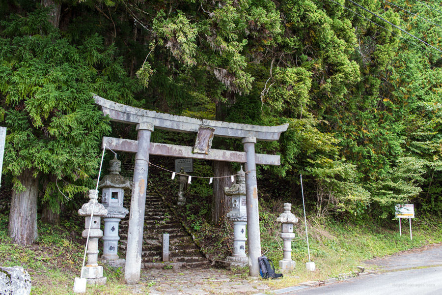
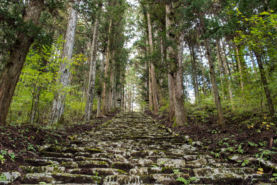
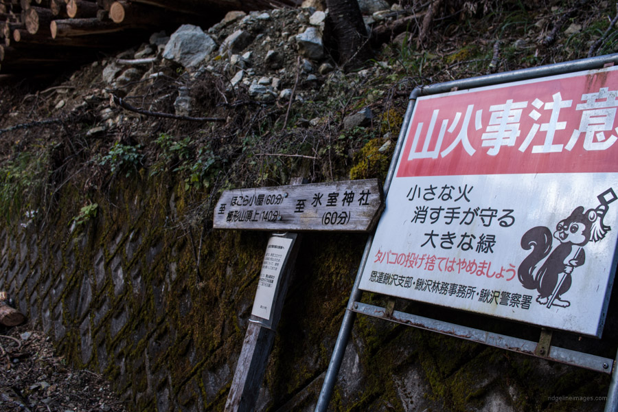
From the Hirabayashi Bus Stop walk up the road towards the Himuro Shrine 氷室神社. Before the road crosses the river look for a sign indicating the Maruyama Forestry Road 丸山林道. A little up from here you can take a minor shortcut through the torii gate. Just after the overhead blue road sign, cross the river which leads to the Himuro Shrine and the Kushigatayama Mountain Trail 櫛形山登山道. Here the torii gate ushers you up some 519 stone steps surrounded by enormous sugi (Japanese cedar). The South Ridge trailhead commences to the left of the Himuro Shrine.
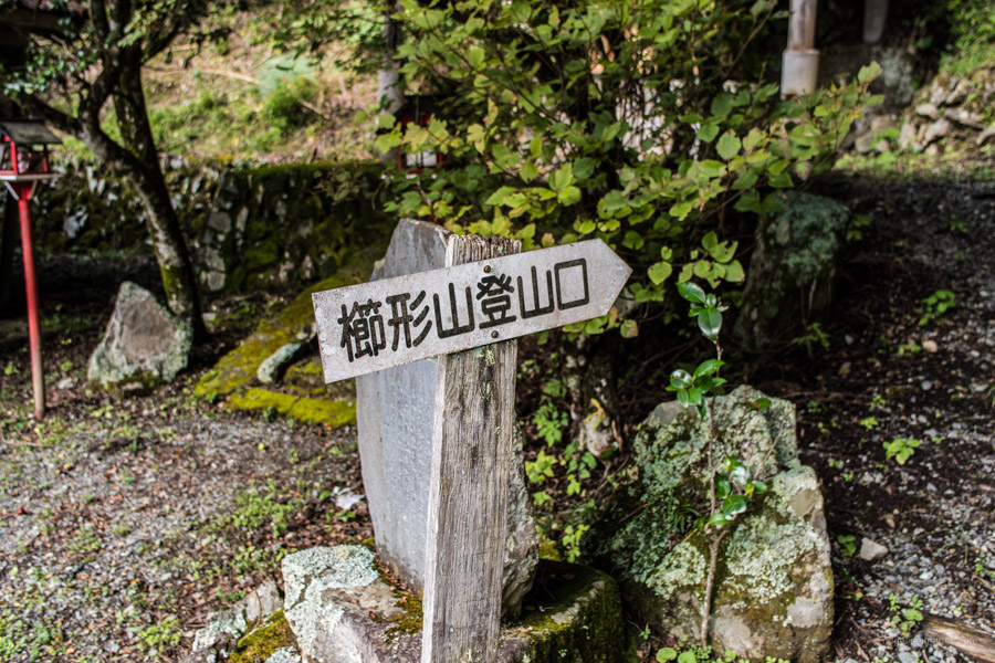
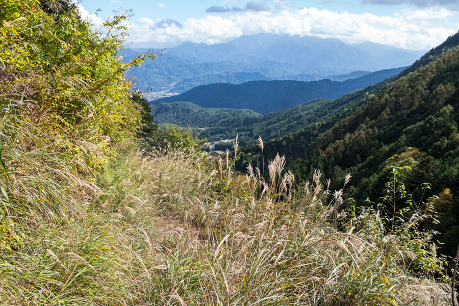
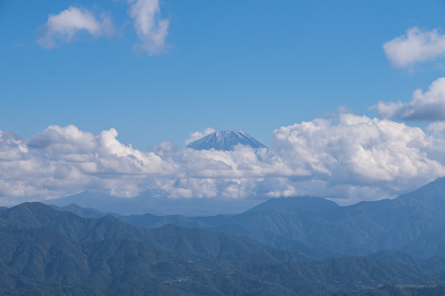
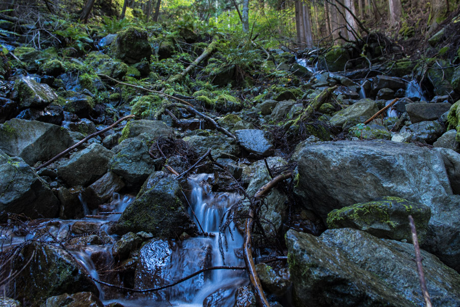
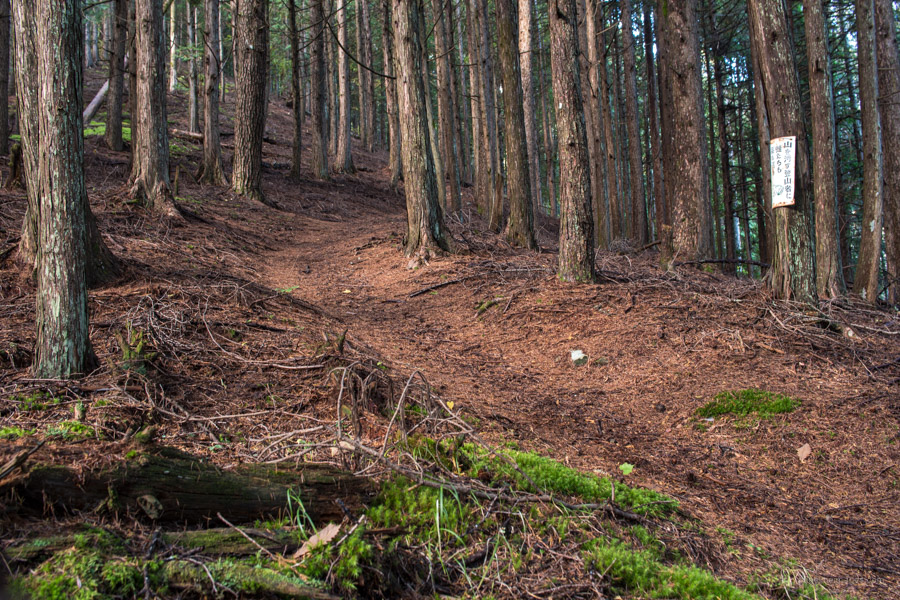
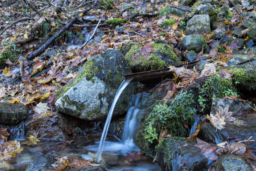
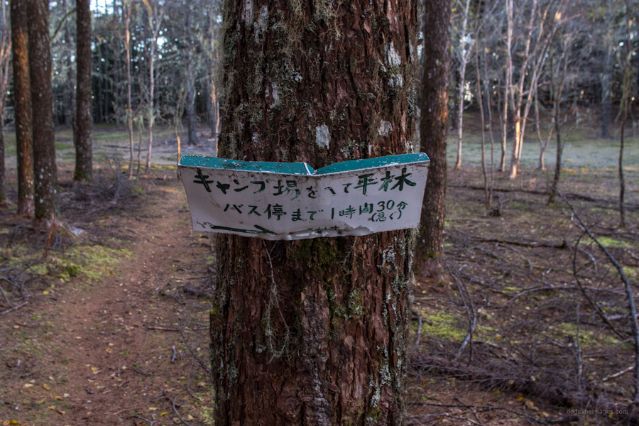
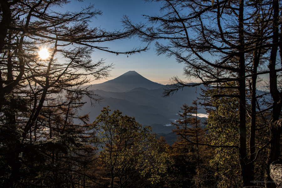
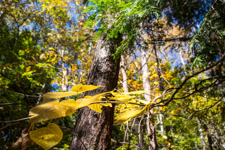
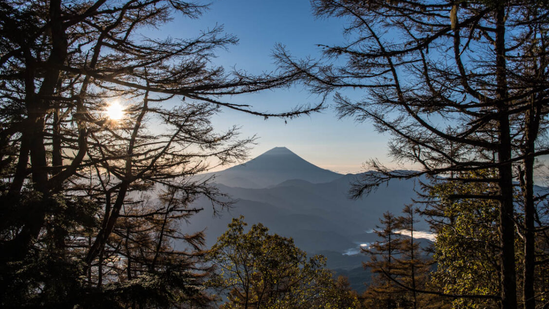
The trail up to the hut is not particularly steep but can feel rather interminable. The signpost at the trailhead proper indicates 4 hours climbing time to the summit but at a steady pace you can shave off an hour. The trail begins its ascent through plantation forest but soon passes an open grassland with nice views of Fujisan. While it isn’t marked on the Yama to Kogen map there is a stream to collect water just before the trail leads back into the forest. A further 10 minutes along there is a flat area to take a short break.
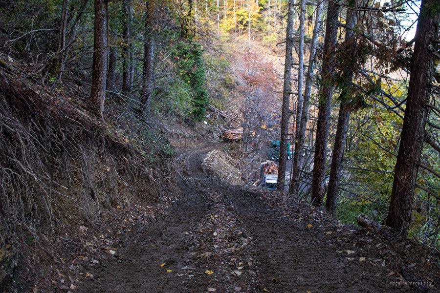
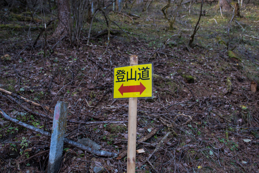
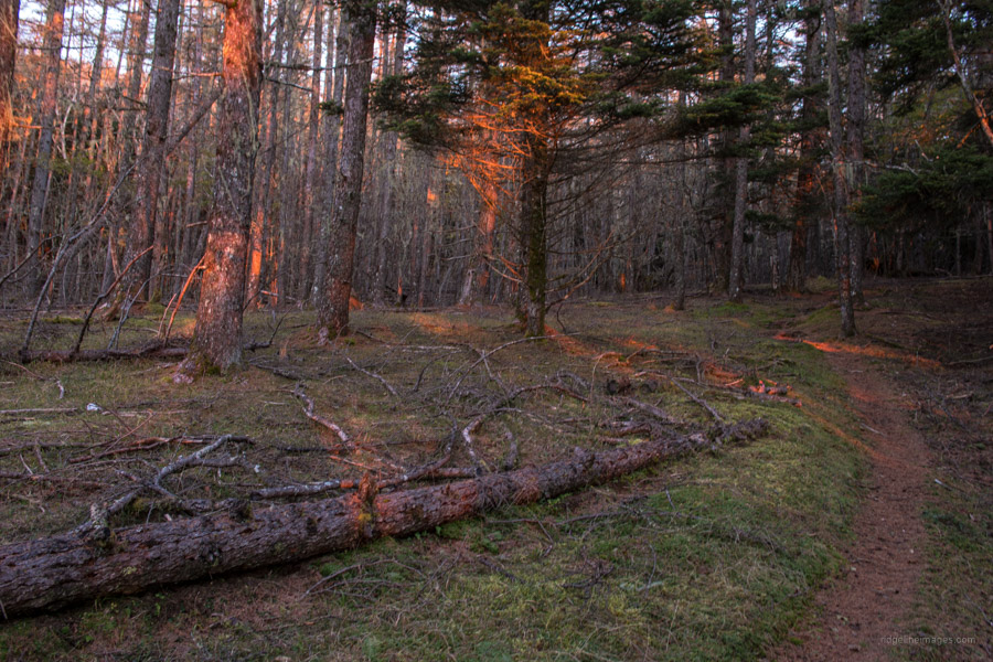
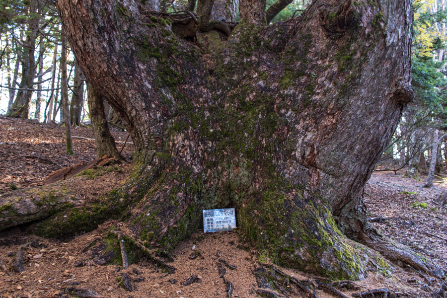
When you reach the forestry road swing left for 30 metres before climbing an embankment on the north side. From here the hiking time to the hut is approximately one hour. At the time of writing the first 500 metres of trail north of the road is undergoing logging so just follow the temporary signage which has been put up. As the trail steepens the landscape shifts to old-growth forest comprising karamatsu (Japanese larch), shirabiso (Veitch’s fir), momi fir (Abies firma), dakekanba (Erman’s birch) and kometsuga (northern Japanese hemlock). On and around the summit some of the karamatsu are particularly impressive culminating with one 300-year-old specimen.
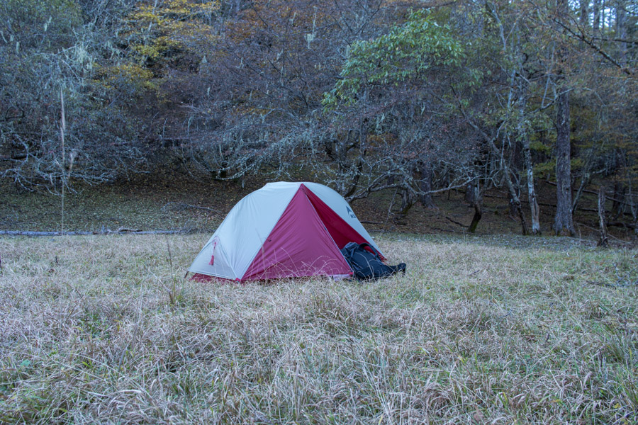
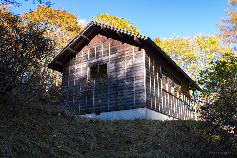
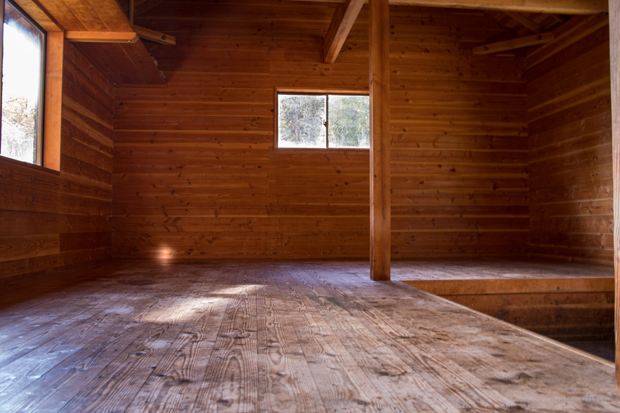
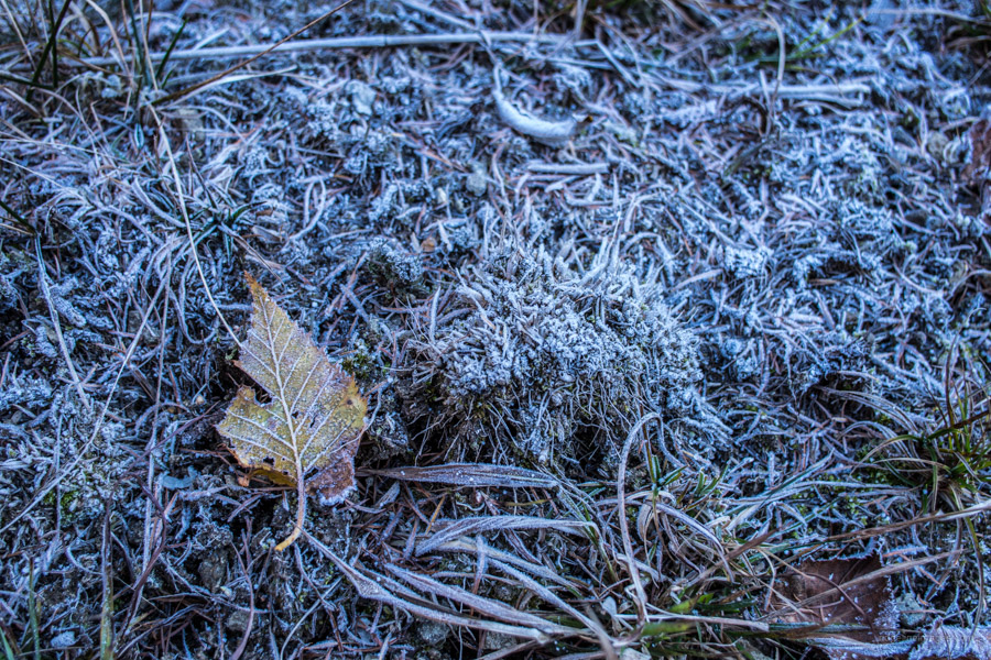
All told it took just on 2.5 hours to reach the Hokora Hut ほこら小屋 from the bus stop walking at a leisurely pace. There was another hiker who had pitched his tent on the grassland uphill from the hut plus a trio of elderly gents making a beeline to set up camp inside. The hut itself is clean and well looked after. Behind the hut there is a spring to collect crystal clear water along with some toilets. By 3 pm the temperature had already started to cool down with the afternoon shade encroaching on the campsite and at 4:30 it was only 2 degrees! It goes without saying that I hurriedly went about setting up my tent and fluffing the sleeping bag in anticipation of a freezing cold night.
Day 2: Hiking Atop the ‘Japanese Comb’ (11 km)
And boy was it cold. Though I slept alright on those occasions I did wake up the barometer on my Protrek watch lingered around zero degrees. Breakfast was eaten crouched in my sleeping bag and I left for the summit carrying only the barest of essentials. From the hut the trail climbs briefly before flattening out with gentle undulations. It is said Kushigatayama resembles the shape of a Japanese comb (it is thought that the name of the mountain is derived from it) so after reaching the ‘back of the comb’ it becomes easier on the legs.
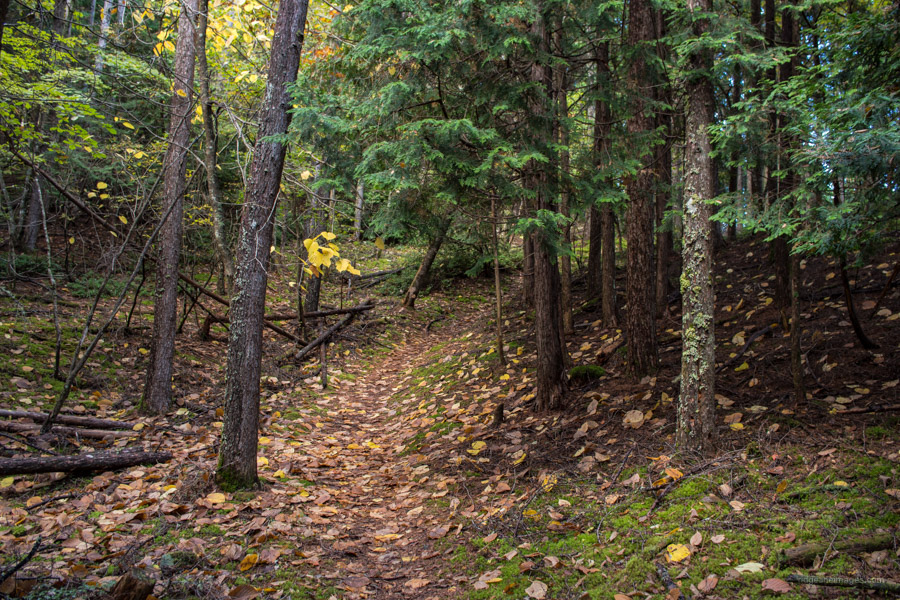
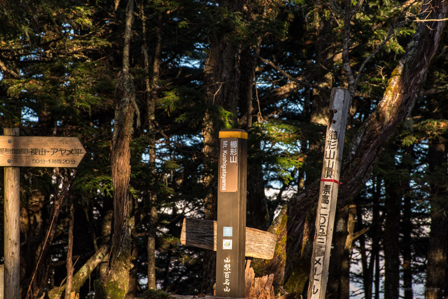
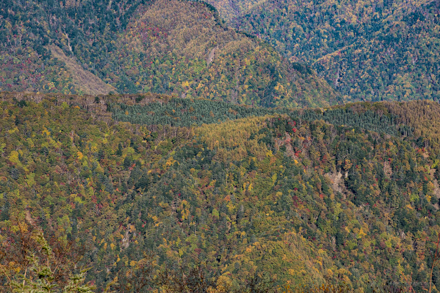
At the second trail branch head for Mt. Kushigata 櫛形山 (2,052 m). You pass through a clearing before the final short push to the top. The broad summit has limited views though in fine weather you should be able to see Mt. Fuji. Strictly speaking the triangulation point marking the ‘true summit’ is a further 10 minutes along the trail however the altitude difference is more or less same. From Mt. Kushigata return to the Bara Buttondaira バラボタン平 trail branch and make for Mt. Hadaka. Relish wondering through the primeval forest with fallen trunks covered in moss and old man’s beard – a grayish-green lichen that dangles from tree branches.
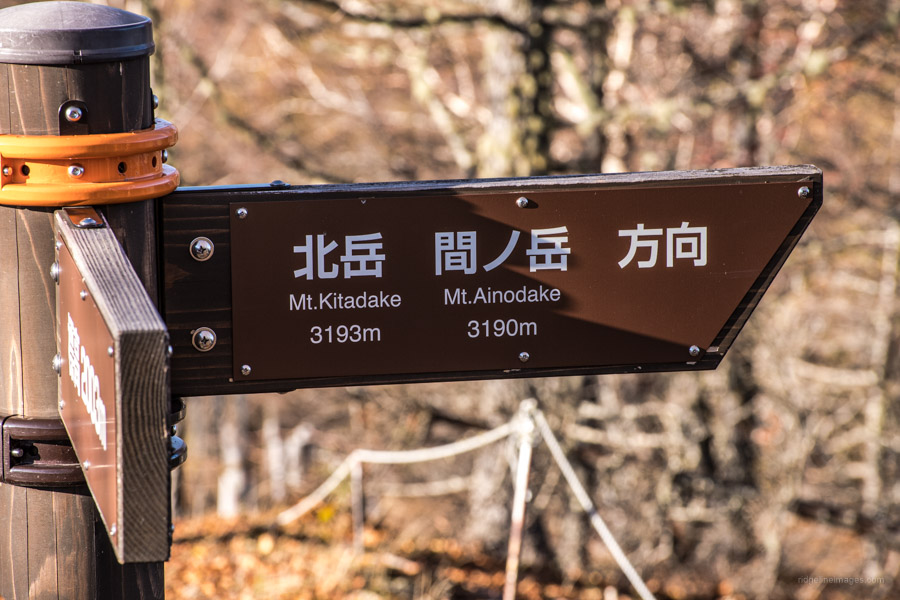
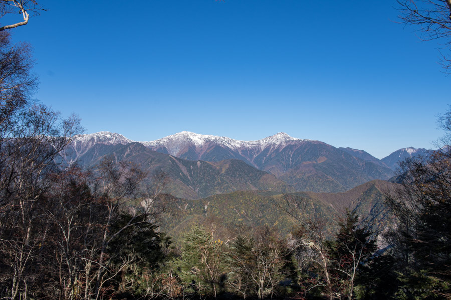
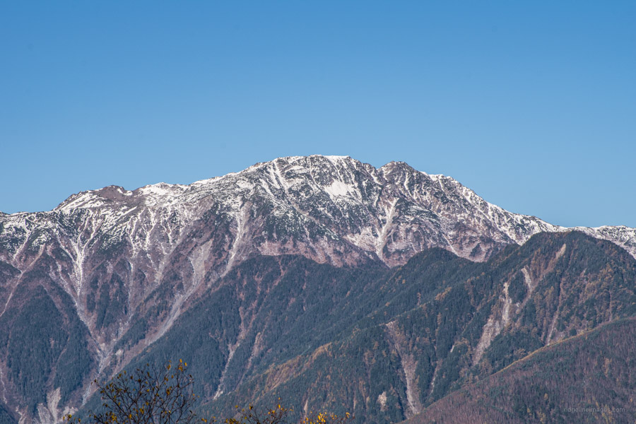
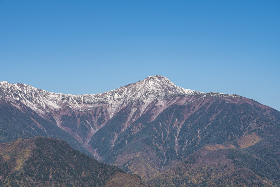
Mt. Hadaka 裸山 (2,003 m) lived up to its ‘baldness’ namesake but what it lacked in vegetation it more than made up with a magnificent view of Japan’s second and third highest peaks namely Kita-dake and Ainodake. The cool crisp autumn air helped augment the panorama. Capping it off was a not so shabby view of Fujisan as well. From here I headed back to the campsite to take down the tent and pack my belongings before returning the same way as I came. It was only just before arriving back at the shrine that I came across a family heading up, the first and only hikers I met on the South Ridge Trail.