.
Hirogawara 広河原 – Shiraneoike 白根御池 – Mt. Mae-Kotaroyama 前小太郎山
Distance: 13.3 km
Elevation change: 1340 metres
Highest point: 2860 metres
Start: Hirogawara Bus Stop
Finish: Hirogawara Bus Stop
Difficulty: ▅▅▅▅▅▅▅▅▅▅ ❹
Map: Yama to Kogen Chizu 山と高原地図 [No.44 北岳・甲斐駒 KITA-DAKE·KAIKOMA]
GPX TrackKML TrackGSI MAPPDF Topo Map
Mt. Kotaroyama: A Quiet Detour off Mt. Kitadake
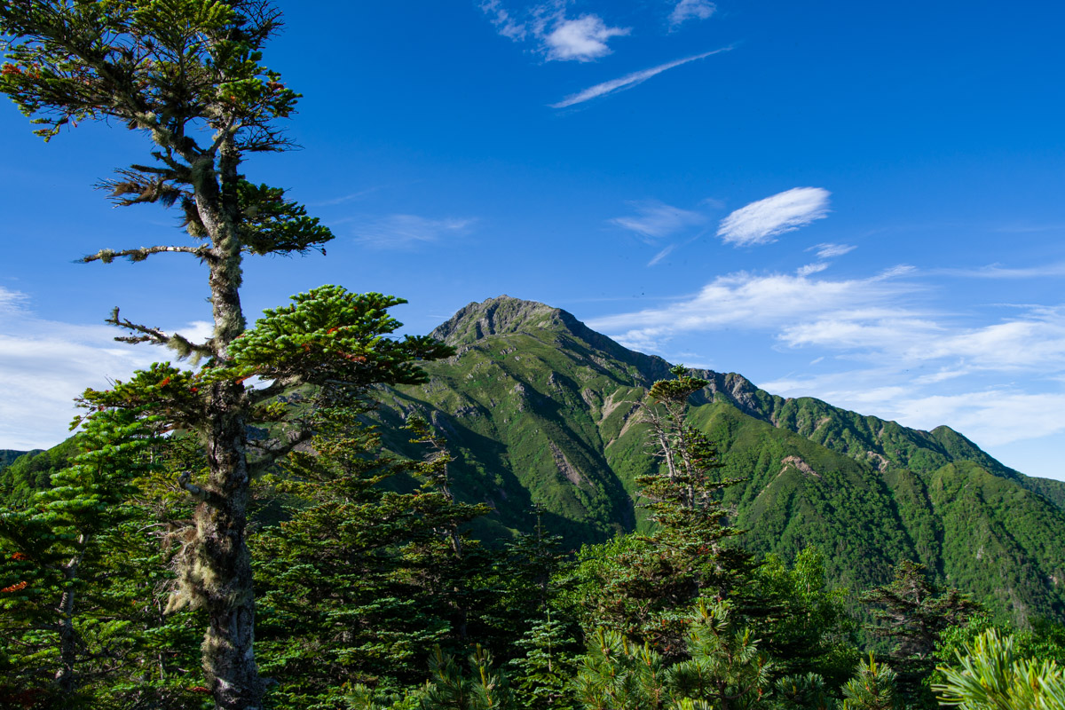
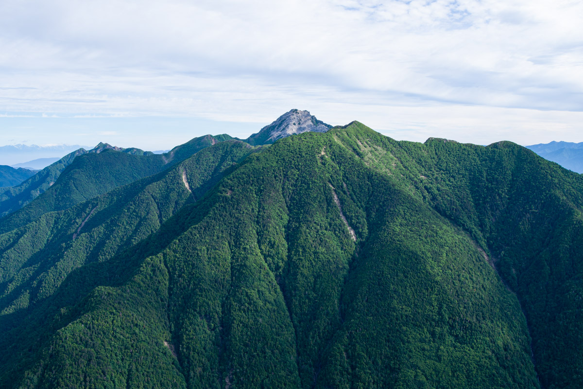
If you’re looking to escape the crowds that flock to Mt. Kitadake in the Southern Alps, Mt. Kotaroyama could be the perfect alternative. One of the 100 Famous Mountains of Yamanashi, it sits on Kotaro Ridge, which extends north from Mt. Kitadake. From a distance, the mountain appears more like a shoulder of its much larger neighbour than a distinct peak.
Despite its status, surprisingly few hikers make the detour. The narrow trail to the summit is partly overgrown with creeping pine (haimatsu), and the summit itself is peaceful – a stark contrast to the constant stream of hikers on nearby Mt. Kitadake. If you’re fit and start early, it’s possible to climb Mt. Kotaroyama as a day hike from Hirogawara, but a far better option is to spend the previous night at Shiraneoike Goya. The first day is a relatively easy hike, while the second day is considerably longer and more demanding. In return, you’ll be rewarded with magnificent views of Mt. Kitadake, Senjogatake, Mt. Houou, and many other peaks of the Southern Alps. While navigation can be challenging in places, the seclusion and scenery make Mt. Kotaroyama a rewarding destination for experienced hikers.
Day 1: Up to Shirane Oike (3.1 km)
Since the first day’s objective is simply to reach Shirane Oike Hut, it’s possible to make a relatively leisurely start by catching the 10:05 am bus from Kofu Station. For the 2026 season, buses from Kofu Station to Hirogawara operate from 26 June to 3 November, with additional daily services between 18 July and 23 August. Buses depart from bus stop number 1. No reservation is required. The journey takes around two hours and costs 2,400 yen. PASMO and Suica IC cards are accepted. An additional 300 yen contribution fee, payable in cash, is collected as the bus travels along the Minami Alps Forest Road.
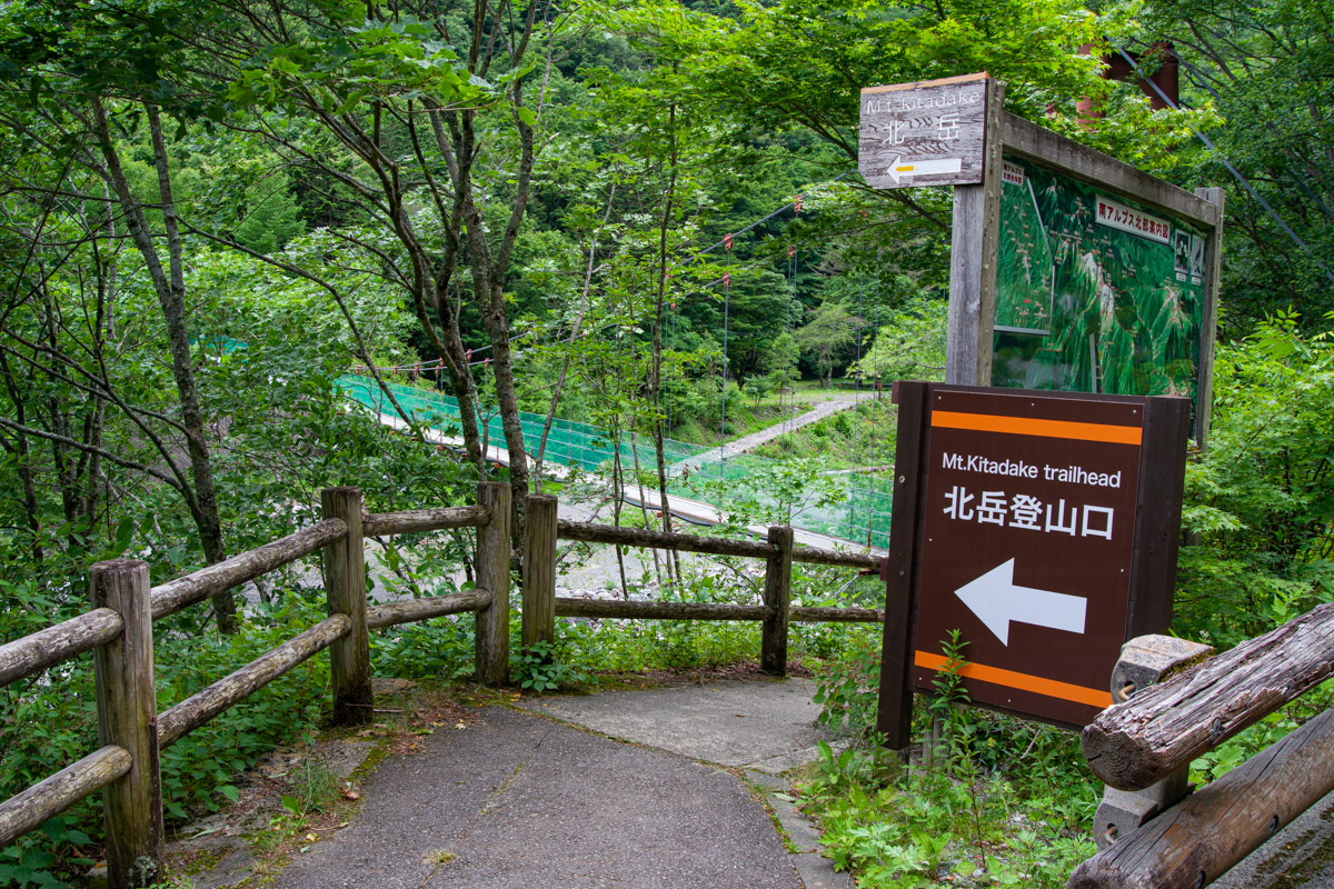
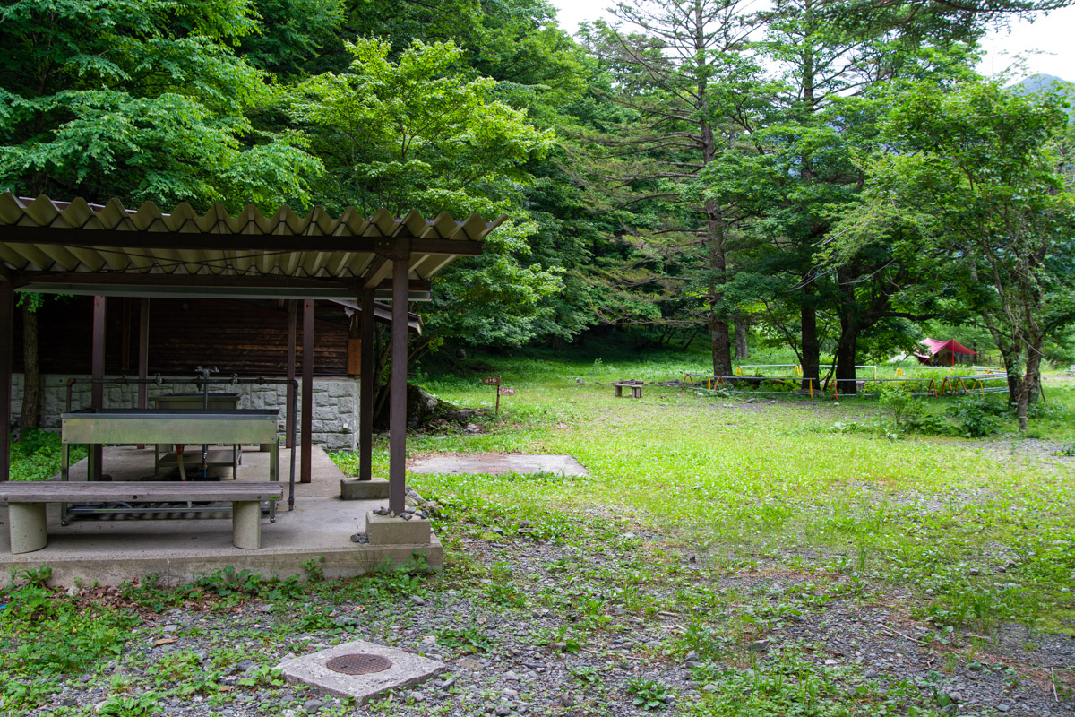
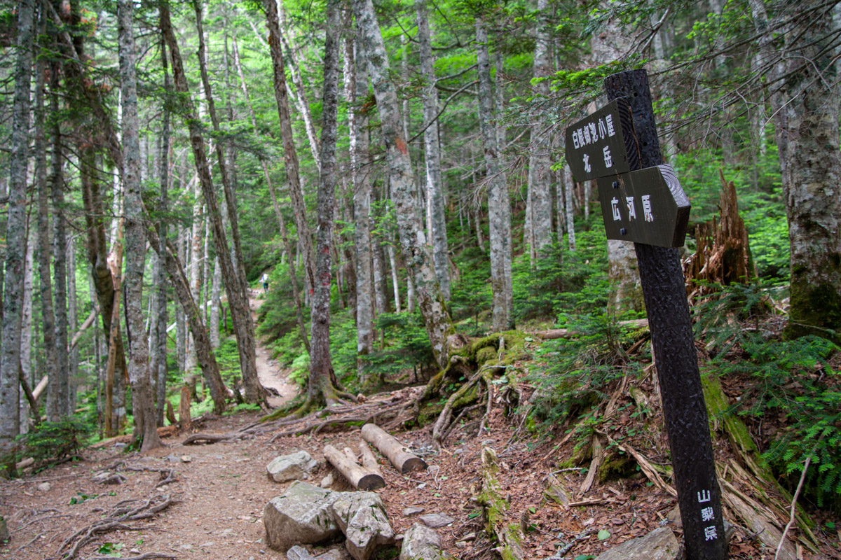
After getting off the bus, cross the suspension bridge over the Norogawa River. In clear weather, Mt. Kitadake looms impressively in the background, while Mt. Asayo, another of the 100 Famous Mountains of Yamanashi, can also be seen. If you’re looking for a spot to eat lunch before setting off, take a short detour right to Hirogawara Campsite 広河原キャンプ場, where you’ll also find a convenient water source. The first section of the trail is relatively gentle, climbing gradually to the first junction. A sign here indicates a three-hour hike to Shiraneoike, although many hikers should be able to reach it in around two hours.
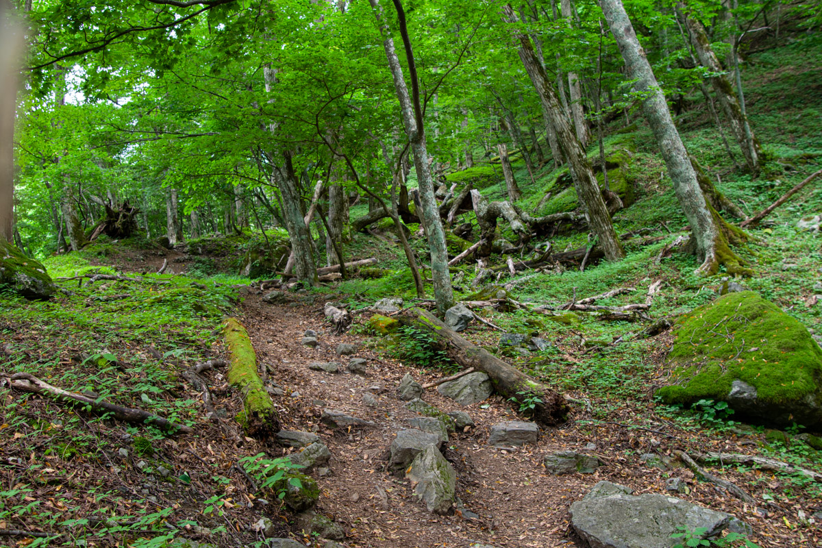
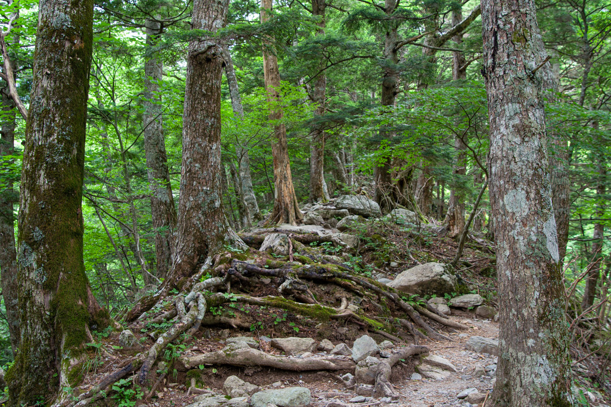
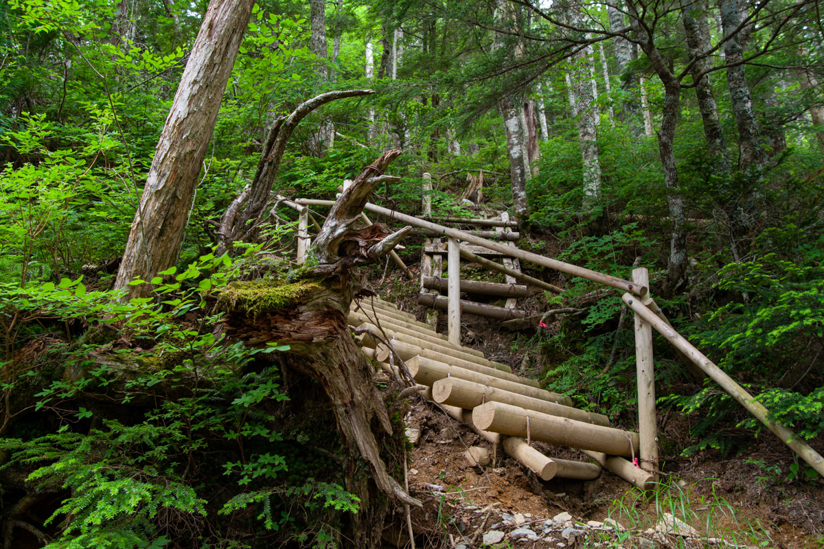
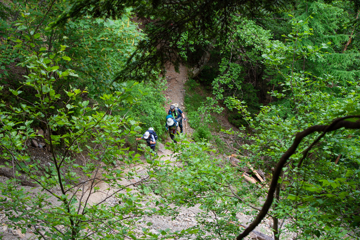
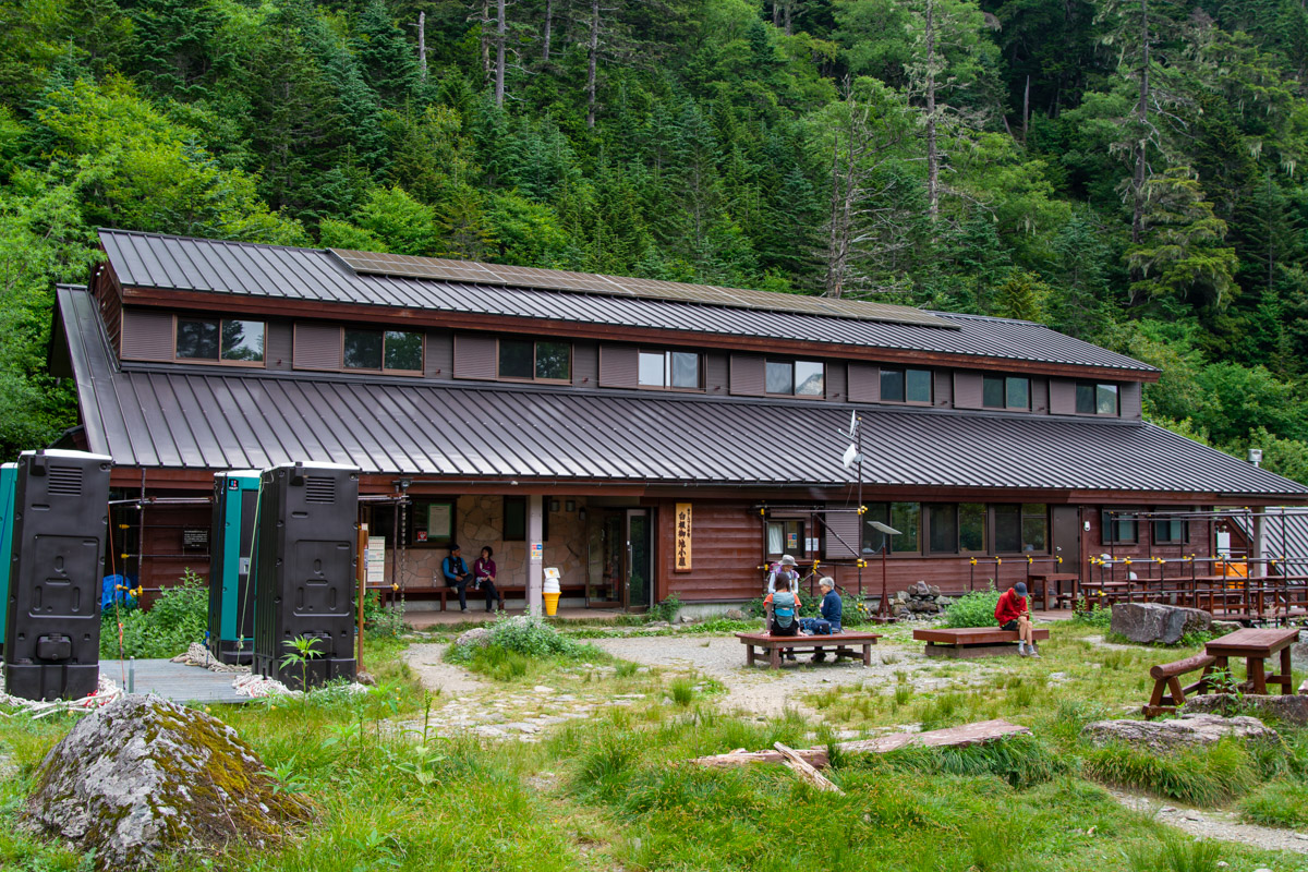
From here, a steep, unrelenting climb begins, as I well remember from having completed it twice before. As you gain height, the gradient steadily increases, with a series of wooden staircases helping you up the mountainside. About halfway up, the trees briefly open to reveal fine views of Mt. Houou. After the final steep section, the trail levels out, and it’s only a short walk to Shiraneoike Goya 白根御池小屋.
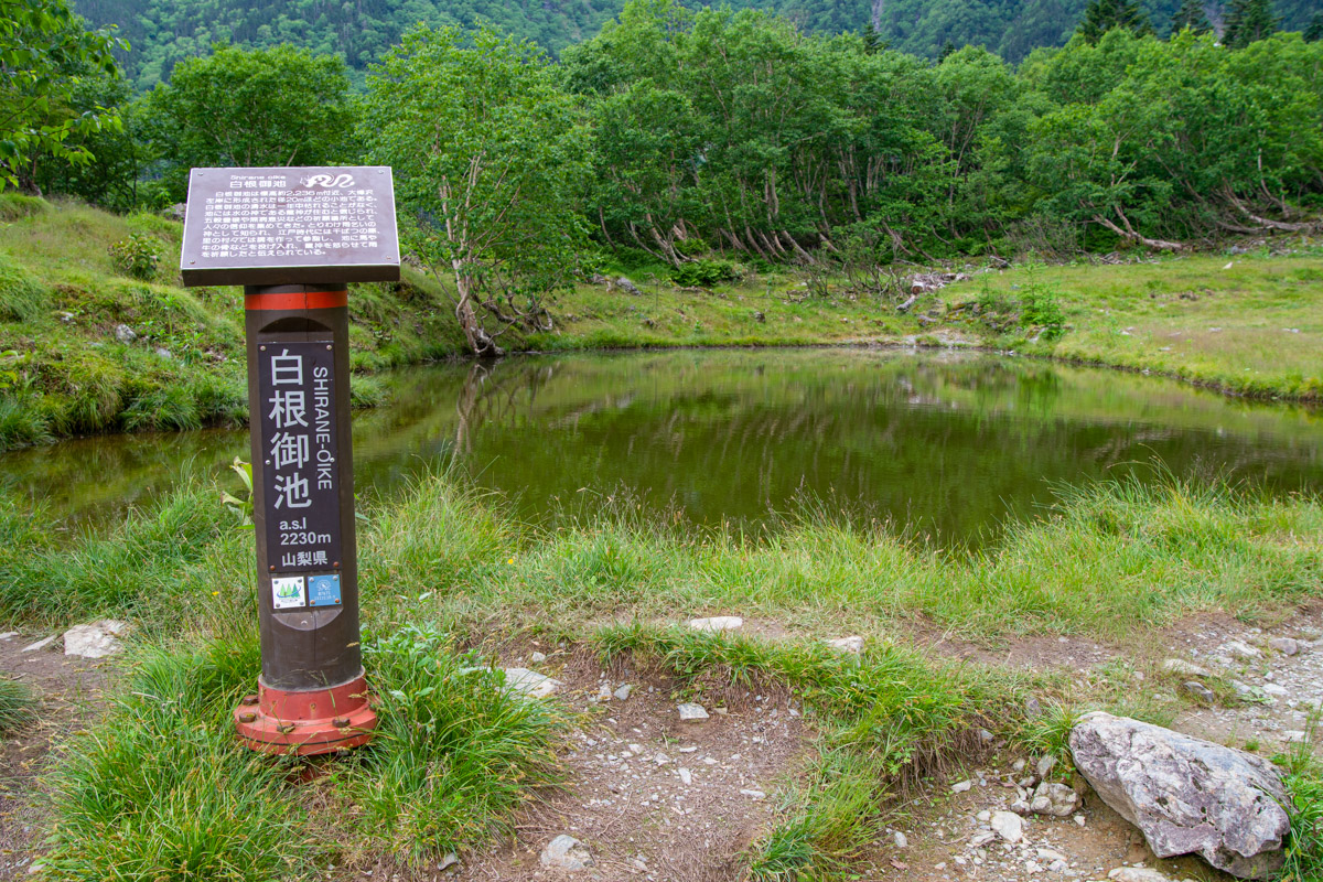
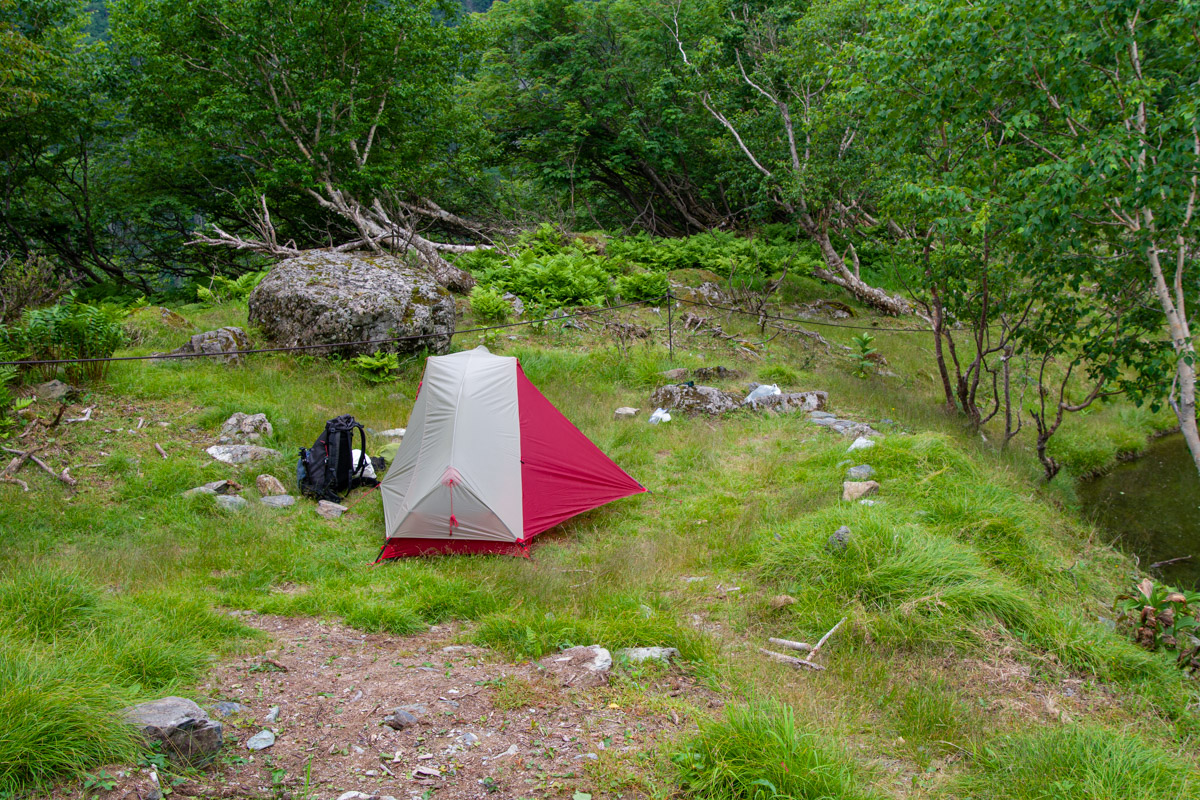
The pond that gives the hut its name lies just a few minutes away and offers a beautiful reflection of Mt. Kitadake when conditions are calm. Both overnight stays and camping (1,000 yen) require advance reservations. This was my second stay here, and I was pleased to find my favourite campsite above the pond still available. There were only three other people at the campsite, though the site packs in 80 tents on busy weekends.
Day 2: Kotaro Ridge and the Summit (10.2 km)
While the first day was cloudy and overcast, the forecast promised sunshine and hot weather for the following day. Waking in the middle of the night to find the sky ablaze with countless stars felt like a good omen for the hike that lay ahead.
Some hikers were already on the move at 3:15 am when I poked my head outside the tent to boil water for a coffee. The temperature was relatively mild, although I briefly pulled on my down jacket. One of the advantages of camping here is that you can leave your tent and sundry behind rather than lugging it up the mountain with you. Setting off at 4:20 am, the sun was already bright enough that I didn’t need my headlamp.
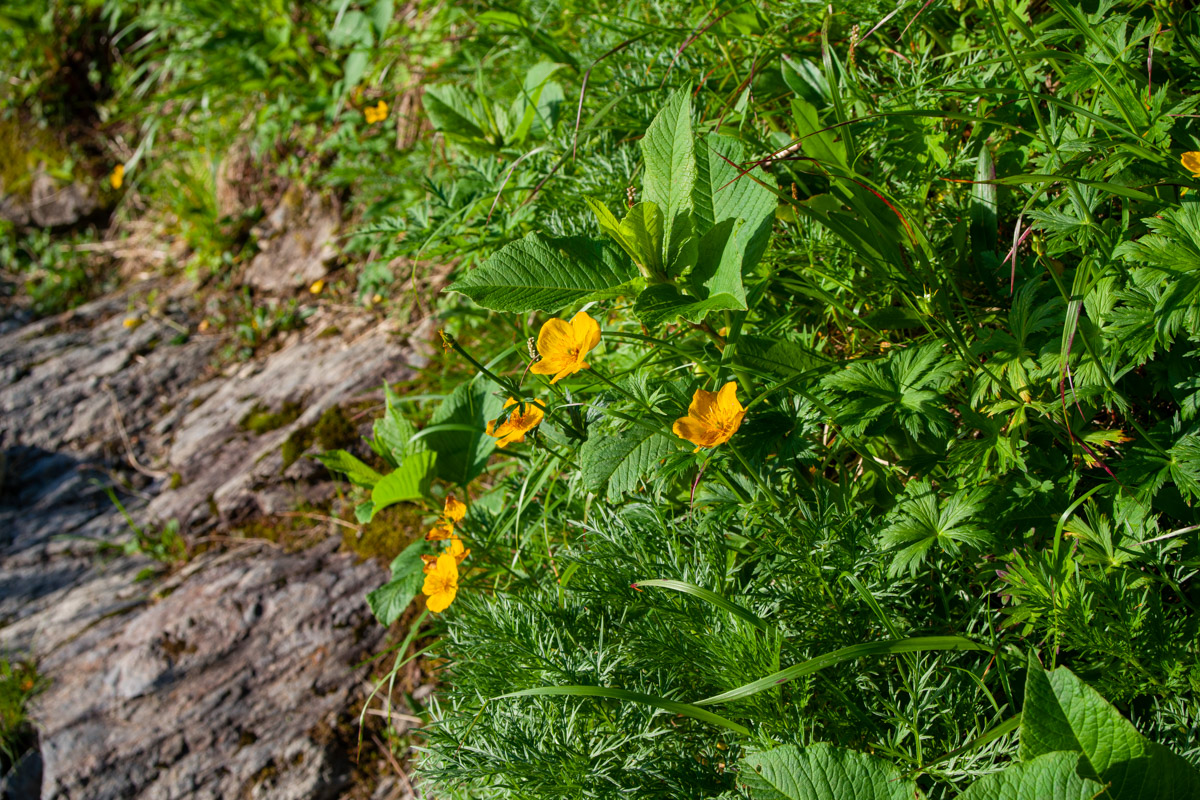
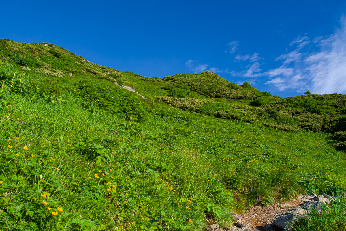
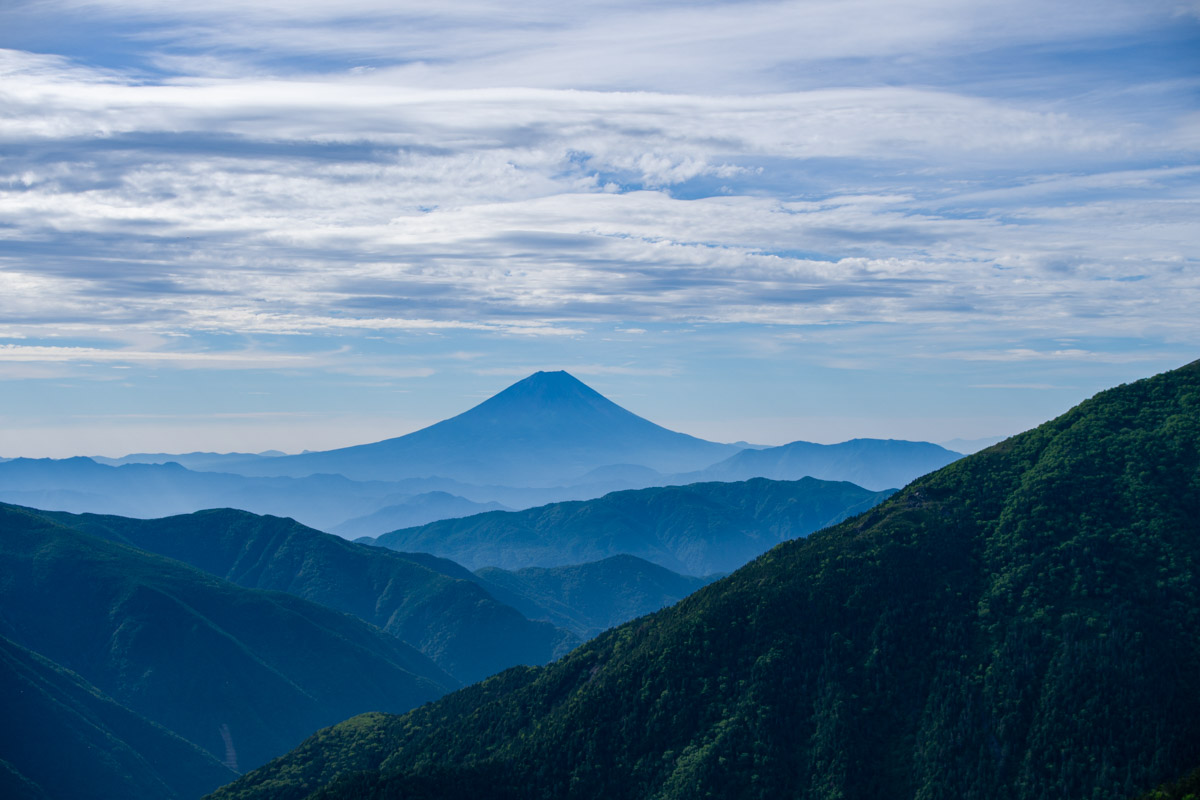
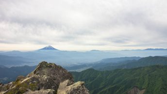
In similar fashion to the first day, the trail climbs unremittingly, with occasional views back down to the pond. On my descent later that day, I passed several hikers who were really struggling on the steep slope due to the heat. It takes around 1 hour 15 minutes to reach Kusasuberi 草スベリ, an area renowned for its alpine flowers in summer. Deer-proof fences have been installed to protect the fragile vegetation. Before long, the summit of Mt. Fuji comes into view, although far more impressive vistas await higher up.
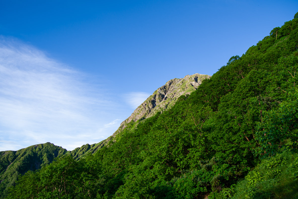
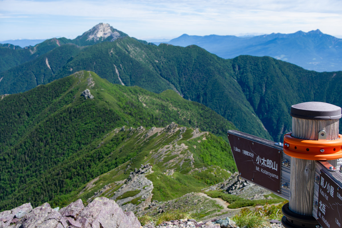
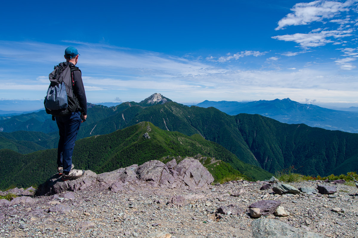
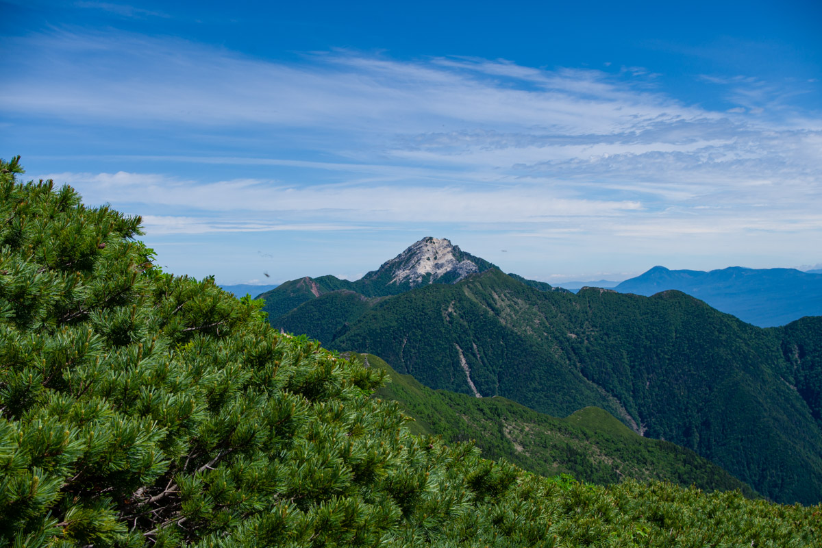
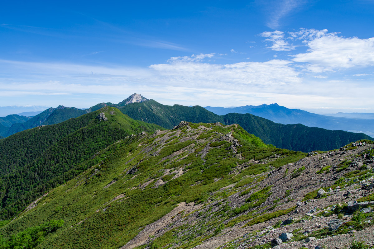
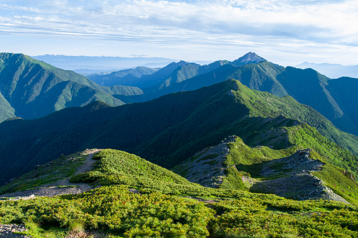
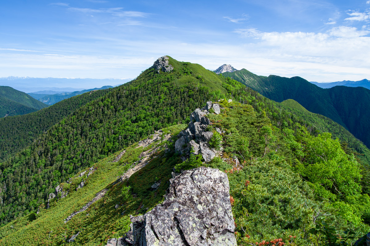
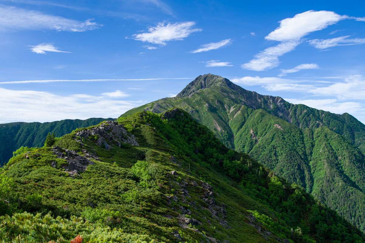
Just before reaching the sign at the Kotaroyama junction 小太郎尾根分岐 (2,860 m), a short side path through the creeping pine leads to a superb viewpoint overlooking the entire Kotaro Ridge. Don’t be fooled, though – while the summit appears to be just ahead, it is surprisingly distant, and the return trip from the junction takes around three hours, including time spent at the summit. The prominent chalky-white peak dominating the backdrop is Mt. Kaikoma 甲斐駒ヶ岳. To its left stands Mt. Senjo, known as the Queen of the Southern Alps, with its broad, imposing profile.
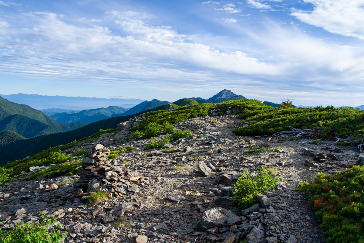
It soon becomes apparent that Mt. Kotaroyama sees very few hikers. In my view, the route would be more accurately marked as a dotted line on hiking maps, as the trail is faint from the outset and often barely resembles a path. I have to agree with other hikers’ accounts that route-finding can be surprisingly difficult. More than once I found myself searching for the best way forward, something clearly reflected in my GPS track. Some rocky sections require direct ascents, while others are traversed, but the route is often indistinct and demands constant concentration. In many places, creeping pine has encroached onto the trail, requiring careful footing. For the first 20 minutes or so, I also encountered strong winds, although they thankfully eased as I continued.
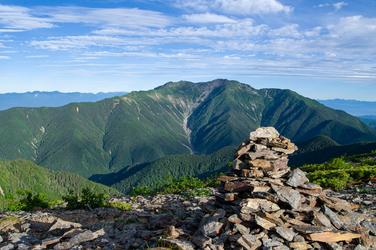
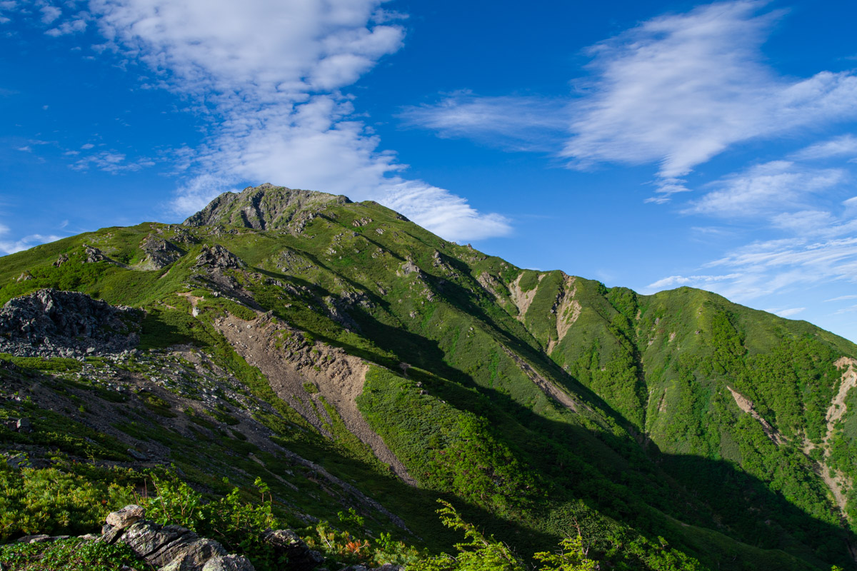
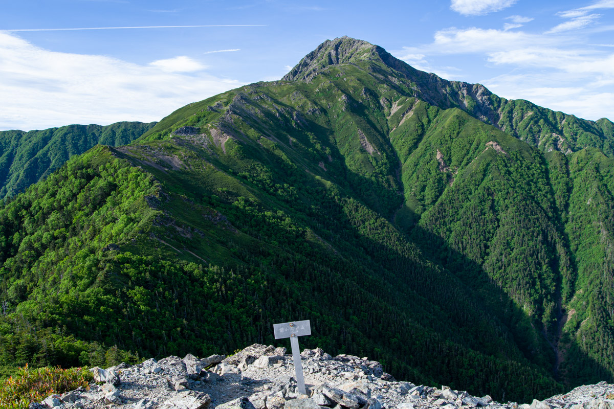
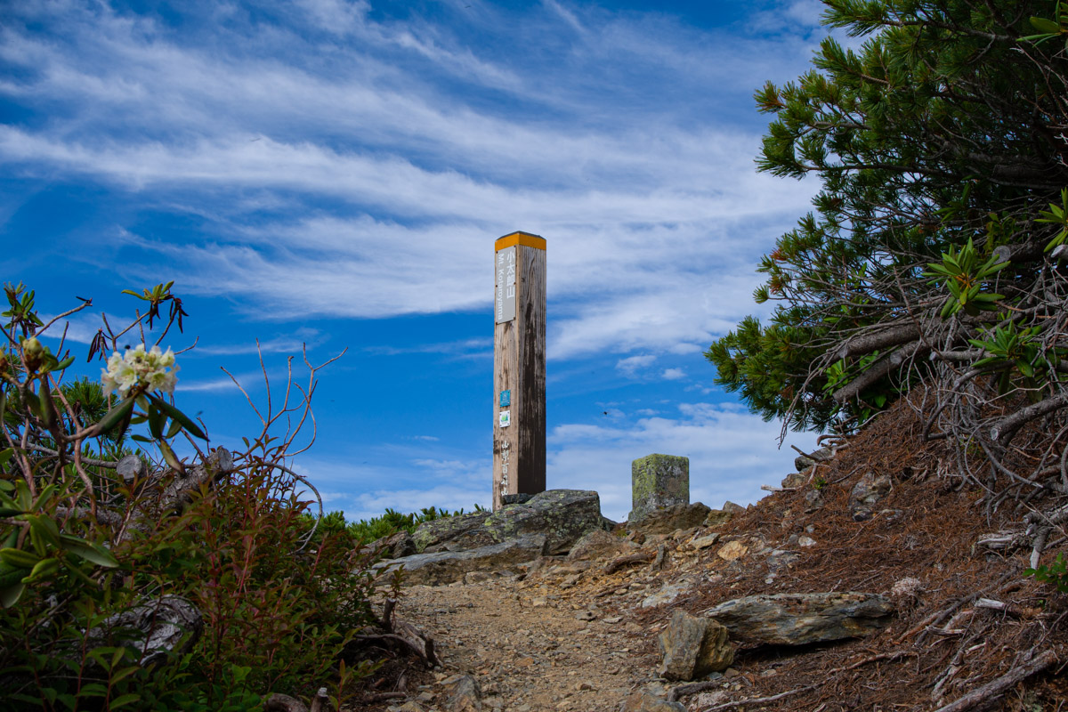
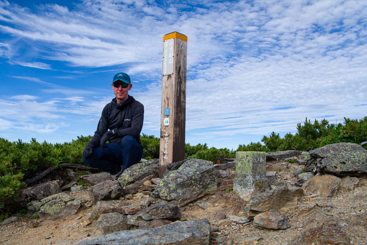
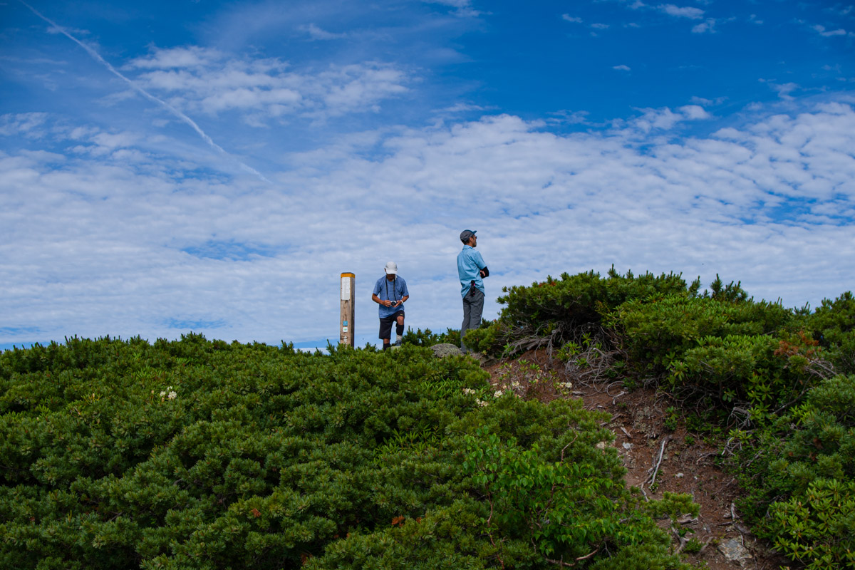
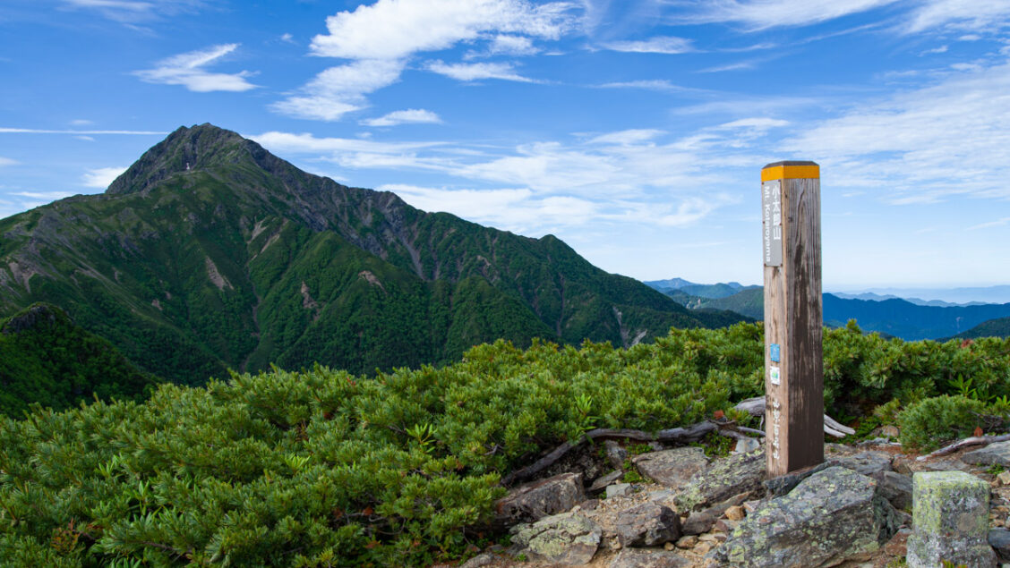
Much of the Kotaro Ridge lies at or just above the tree line, with only the saddle being densely wooded. After around an hour, you’ll reach Mt. Mae-Kotaroyama 前小太郎山 (2,700 m). Beyond here, the ridge narrows into a rocky spine with a steep drop on one side, although the trail generally keeps a safe distance from the edge. Reaching Mt. Kotaroyama 小太郎山 (2,725 m) feels thoroughly earned and, true to its reputation, I had the summit entirely to myself well before another pair of hikers arrived. The summit offers magnificent 360-degree views, with the finest panorama undoubtedly being the imposing bulk of neighbouring Mt. Kitadake.
After taking time to enjoy the views, retrace your steps to the Kotaroyama junction, which, incidentally, is slightly higher than the summit itself. From there, descend back to Shiraneoike Goya to pack up your tent before continuing to Hirogawara. An early start should leave you with ample time to catch the 2:00 pm bus back to Kofu Station.