.
Nishi Tanzawa Visitor Center 西丹沢ビジターセンター – Gorasawa-deai ゴーラ沢出合 – Aogatake Sanso 青ヶ岳山荘
Distance: 11 km
Elevation change: 1061 metres
Highest point: 1601 metres
Start: Nishi Tanzawa Visitor Center Bus Stop
Finish: Nishi Tanzawa Visitor Center Bus Stop
Difficulty: ▅▅▅▅▅▅▅▅▅▅ ❸
Map: Yama to Kogen Chizu 山と高原地図 [No.31 丹沢 TANZAWA]
GPX TrackKML TrackGSI mapPDF Topo Map
Hinokiboramaru via the Tsutsuji Shindo Trail
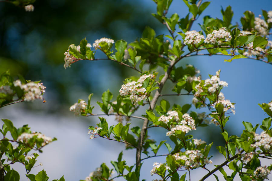
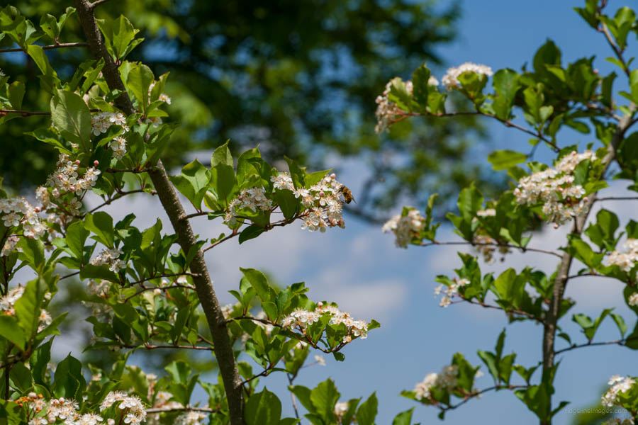
Like nearby Azegamaru, Hinokiboramaru is another popular peak within West Tanzawa and is the fourth highest peak in the Tanzawa Mountains. It is particularly crowded with climbers from mid-to-late May, when the white Azaleas bloom. Unfortunately, the increase in hikers has led to trail erosion. Visiting the mountain before the arrival of the rainy season and mountain leeches, as was done on this occasion, is still immensely enjoyable. While the hike can be undertaken as a loop course, the most popular route is an out-and-back along the Tsutsuji Shindo Trail, starting and finishing at the Nishi Tanzawa Visitor Center. On this trip, my original plan was to climb from the Yokizawa Park Bridge 木沢公園橋. However, it was closed for repairs until the end of June, so I opted for the Tsutsuji Shindo Trail instead.
Access to the Nishi Tanzawa Visitor Center 西丹沢ビジターセンター, which marks the beginning of the hike, requires taking a bus from Shin-Matsuda Station 新松田駅 (71 minutes, 1360 yen) on the Odakyu Odawara Line. Aim for the first bus, which departs at 7:15 am from bus stop 1 outside the north exit. From Shin-Matsuda Station to the Nishi Tanzawa Visitor Center, the bus partially runs parallel to the JR Gotemba Line, with a stop at Yamakita Station. For those driving, there is a free parking lot at the Nishi Tanzawa Visitor Center, with an overflow car park available at a nearby campground for a fee.
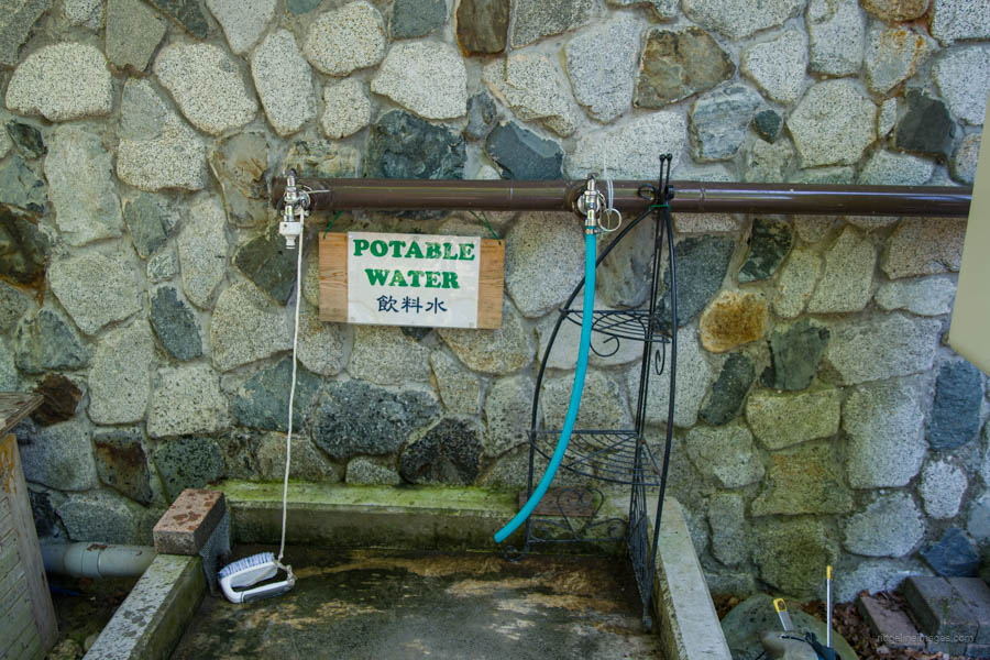
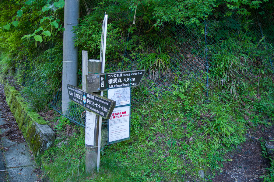
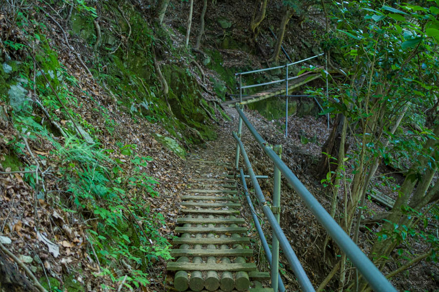
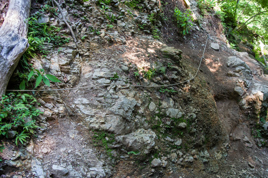
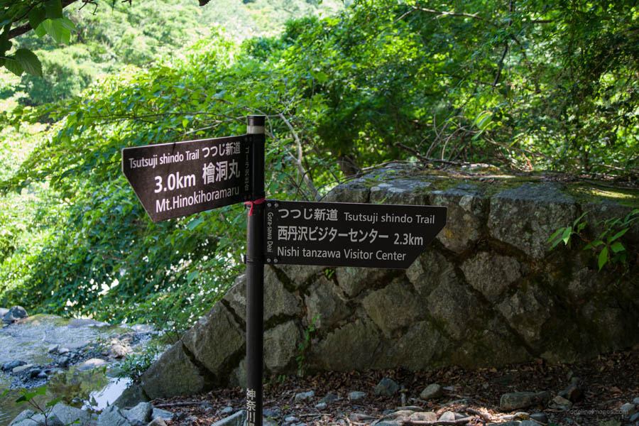
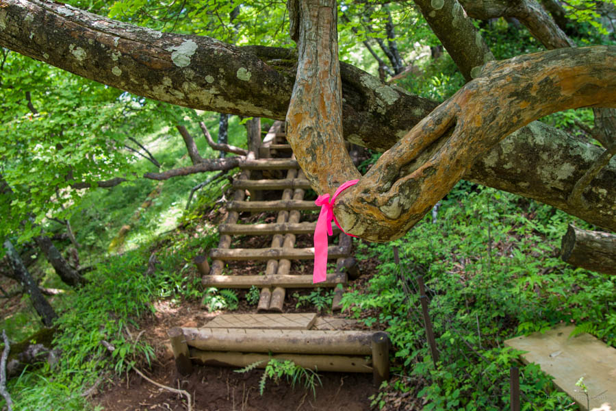
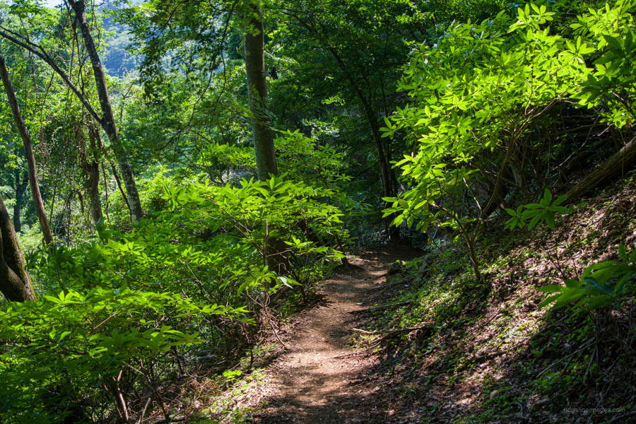
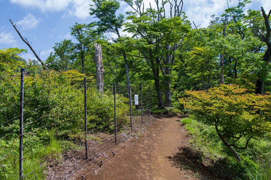
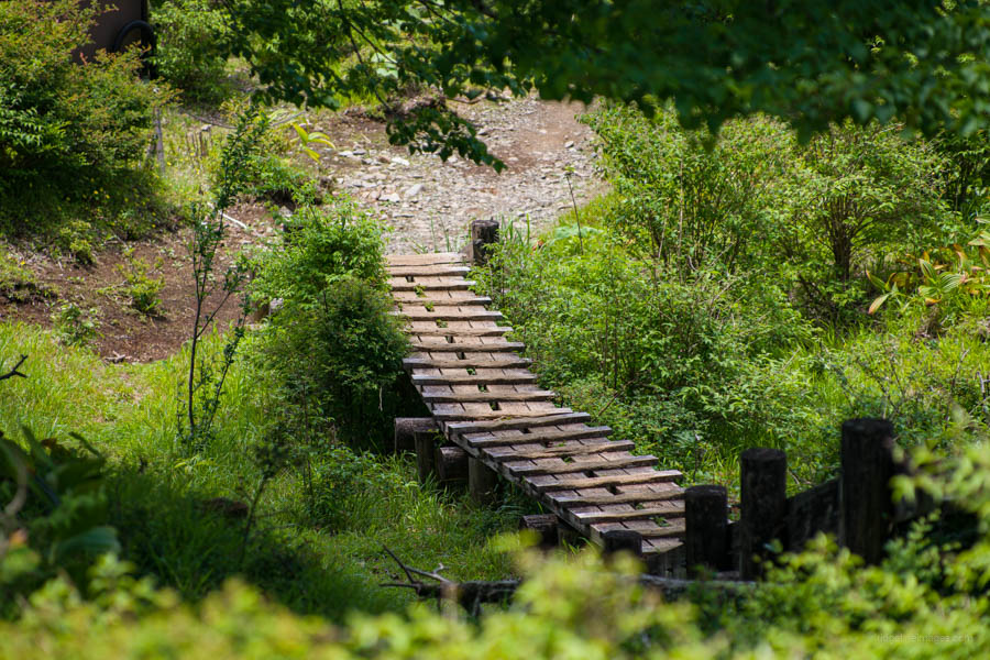
After getting off the bus and topping up your water supplies, head up the paved road for a few minutes to find the entrance to the Tsutsuji Shindo Trail つつじ新道. The forest road is lined with campsites on both sides, a popular spot for auto camping. From the outset, the trail rapidly gains elevation as it traverses directly above a stream. While there aren’t any dangerous areas, there are some sections with drop-offs on the first part of the trail to Gorasawa-deai ゴーラ沢出合.
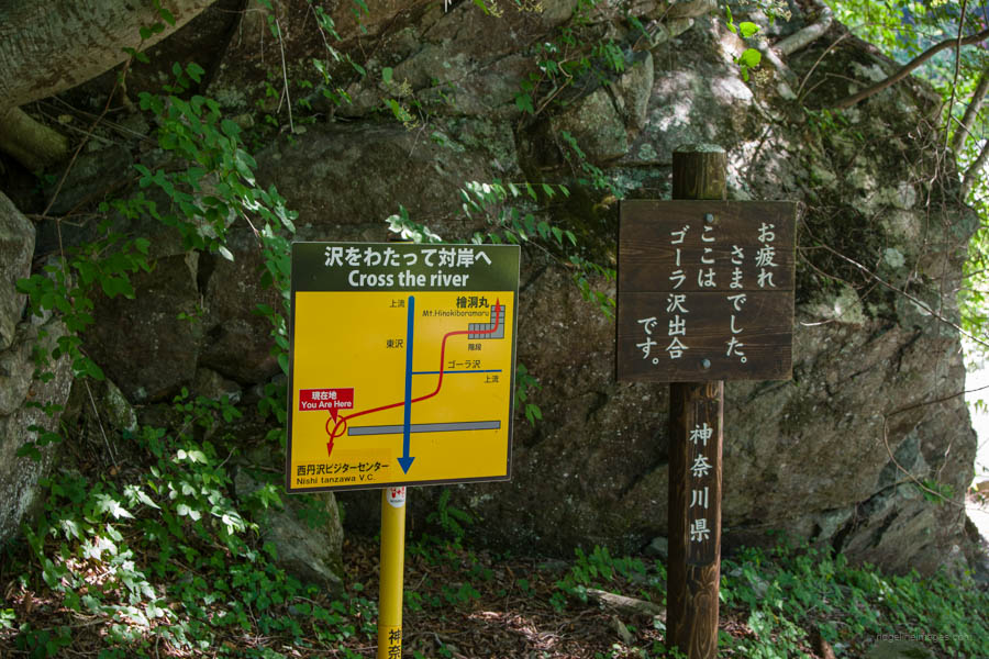
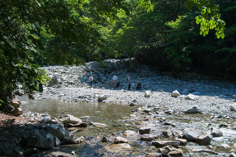
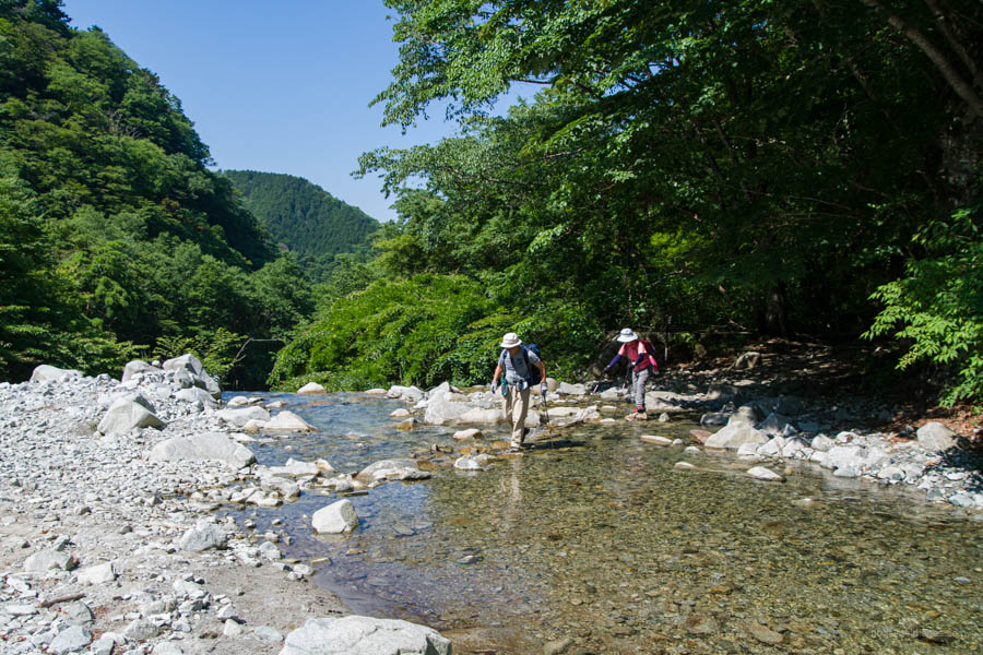
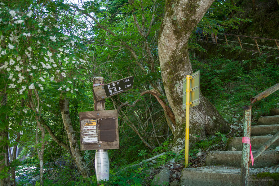
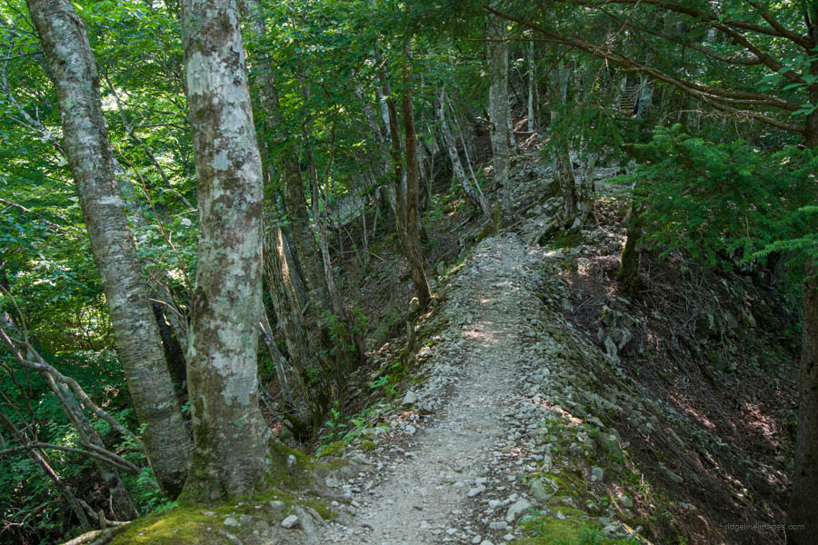
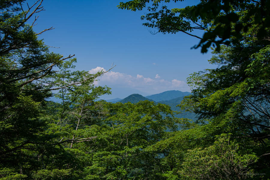
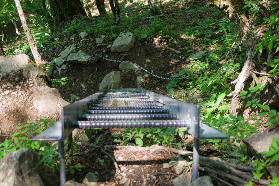
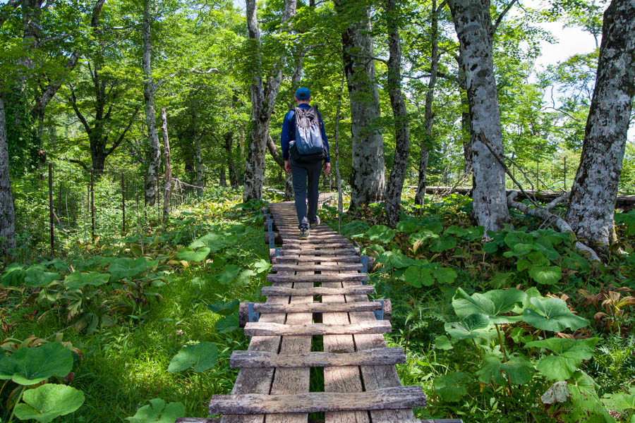
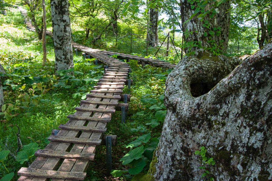
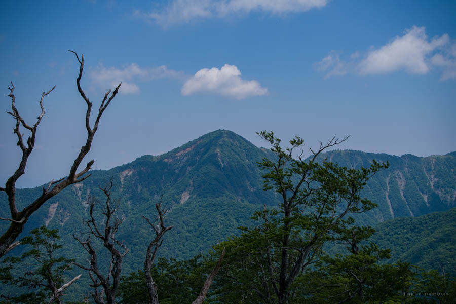
When you reach the Gorasawa-deai confluence, you will need to make two shallow stream crossings. The stream here may be swollen after rain. After the second crossing, head up the concrete stairs and haul yourself up through a short chain section. From this point forward, the trail sticks to the ridge. Along the Tsutsuji Shindo Trail, there are several benches to rest on, including one not far from Gorasawa-deai. Most of the trail is covered with virgin forest comprising Buna (Japanese beech) and Mizunara (Mongolian oak), so there are few views. However, from a place called Tenboenchi 展望園地, you can see the western view, including Azegamaru and Fujisan, in clear weather.
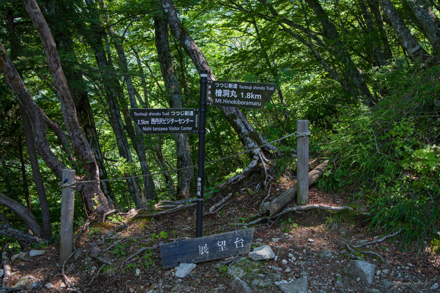
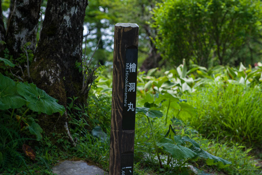
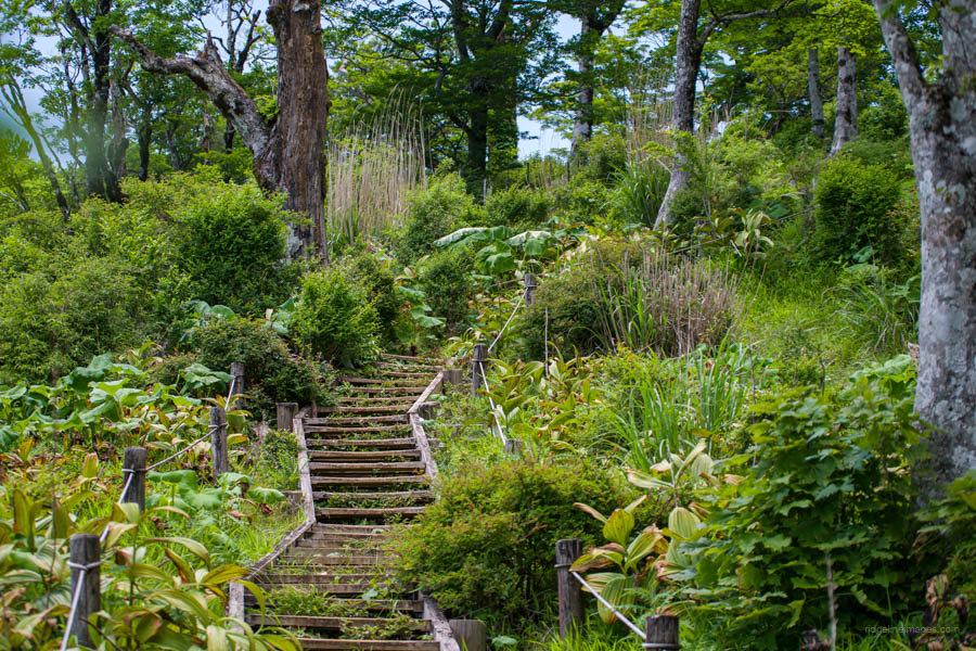
From Tenboenchi onward, there is a noticeable uptick in the gradient. You’ll steadily make your way up through a series of wooden steps and a steel ladder to the Ishidanayama trail junction 石棚山稜分岐, about an hour’s hike from the viewing area. The final stretch to the summit of Hinokiboramaru 檜洞丸 (1,601 m) is arguably the nicest part of the hike, offering a leisurely stroll along a boardwalk. From the Nishi Tanzawa Visitor Center, it takes about 3 hours to reach the summit.
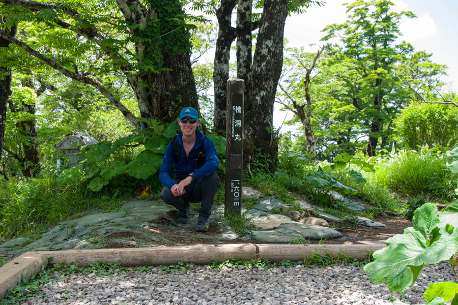
The summit is very spacious, with several benches for rest. However, the surrounding trees limit the views. There’s a small, relatively recent shrine on the summit, reflecting the mountain’s modern popularity for hiking rather than a long history of religious significance. Similar to the Tanzawa main ridge established in the mid-1950s, the Tsutsuji New Trail only opened in 1962.
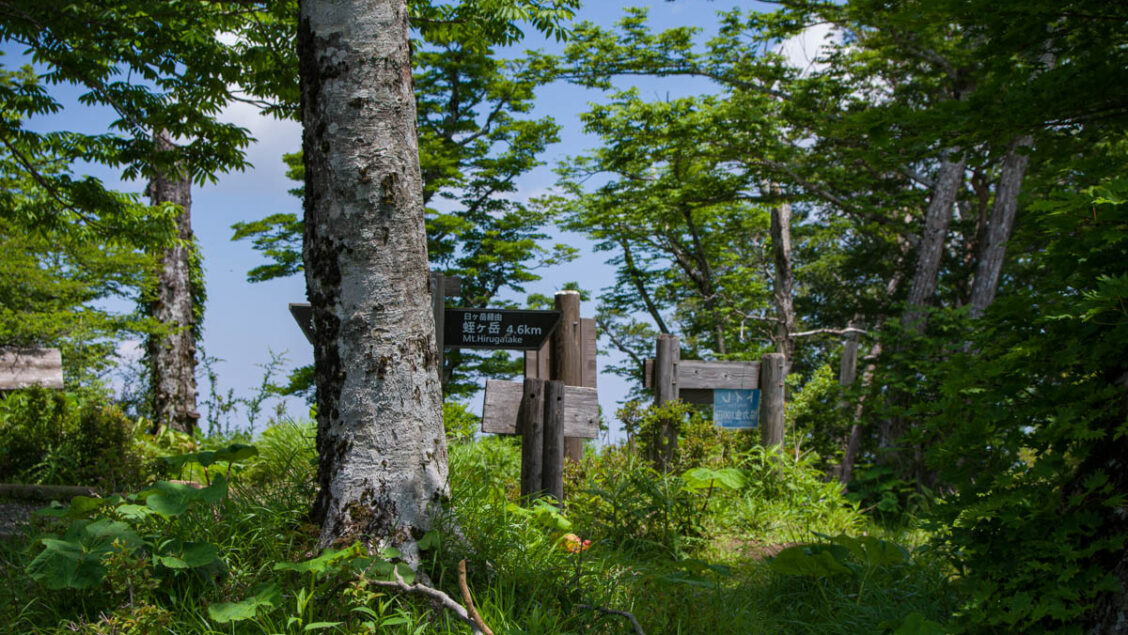
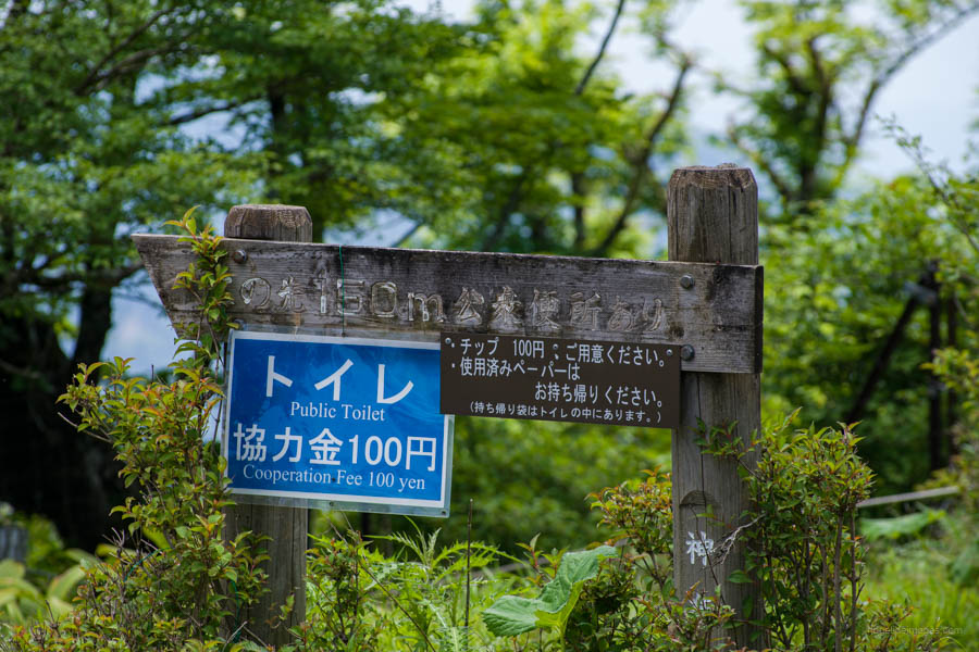
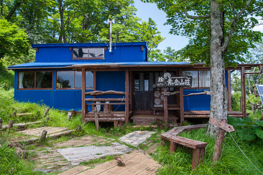
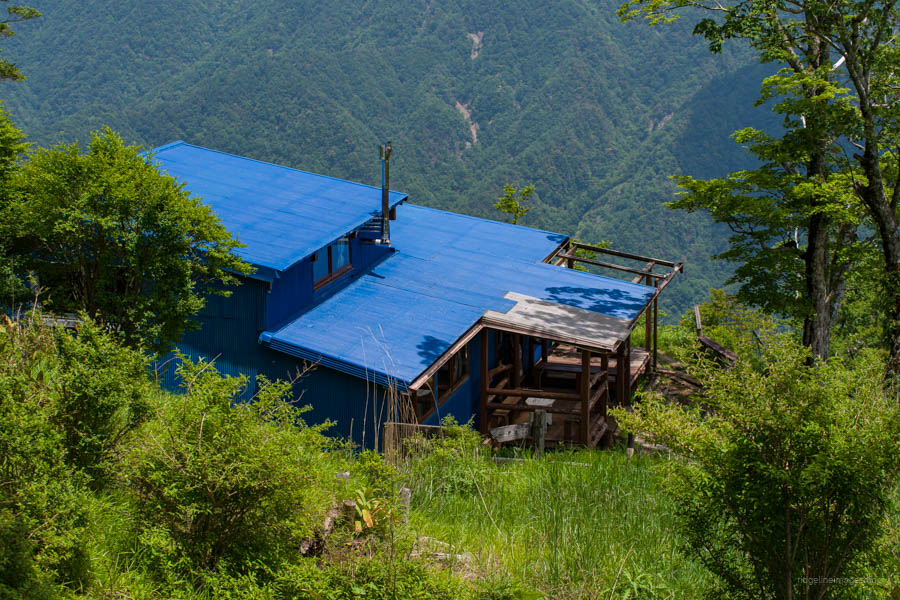
It is also worth heading down to the quaint blue-coloured Aogatake Sanso 青ヶ岳山荘, a five-minute walk away on the east side of the summit. Along with a toilet, it offers an impressive view across to Mt. Hirugatake, the highest of the Tanzawa mountains. The name of the hut comes from Hinokiboramaru’s alternative name, Aogatake. Reservations are required for lodging (8,800 yen, including dinner and breakfast). After this, simply retrace your steps all the way back to the Nishi Tanzawa Visitor Center. Keep in mind that the first afternoon bus back to the Nishi Tanzawa Visitor Center departs at 2:40 pm, so plan your descent accordingly.


Can we climb this mountain in winter?
Sure, it’s possible in winter, but expect snow and icy conditions, and be sure to bring chain spikes.